Get Lost Mountaineering
You are here: Scotland » 10b Loch Eil to Glen Shiel » South of Loch Morar & Loch Arkaig
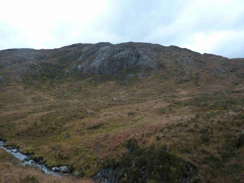
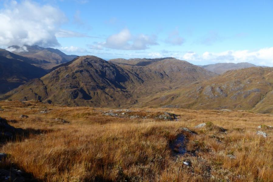
Glas-charn
Glas-charn from near Glenfinnan
Start/Finish
Lay by just after bridge over the Allt Feith a’ Chatha about 2 km W of where the road crosses the railway just to the W of Glenfinnan. The track used starts 2.2 m W of the Glenfinnan visitor centre.
Distance/Time
9 km. Approx 5 hours.
Peaks
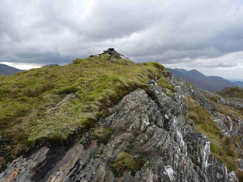
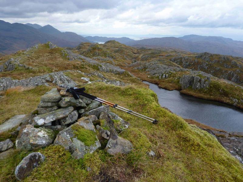
Glas-charn, 633 m, NM 846 837. OS sheet 40.
Introduction
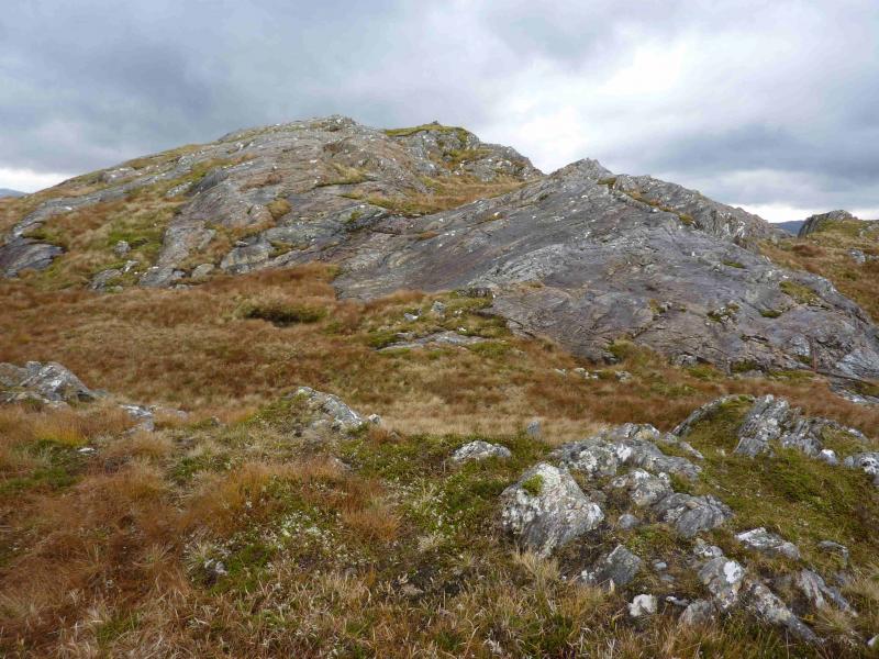
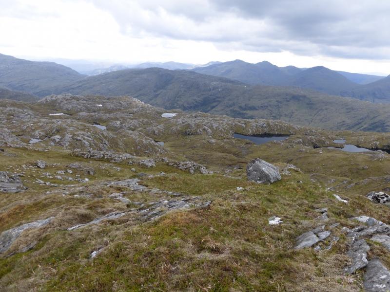
Much of the walking is pathless on grassy slopes with many outcrops providing scrambling opportunities if wished. Excellent views in all directions including the Corryhully mountains, Loch Shiel mountains, Rois-bheinn range and Ben Nevis not to mention the seascapes and islands including Eigg, Rum and Skye. This mountain would be very difficult to navigate in mist so is best kept for a clear day when navigation will be straightforward and views outstanding.
Route
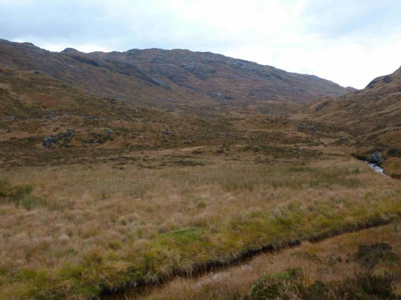
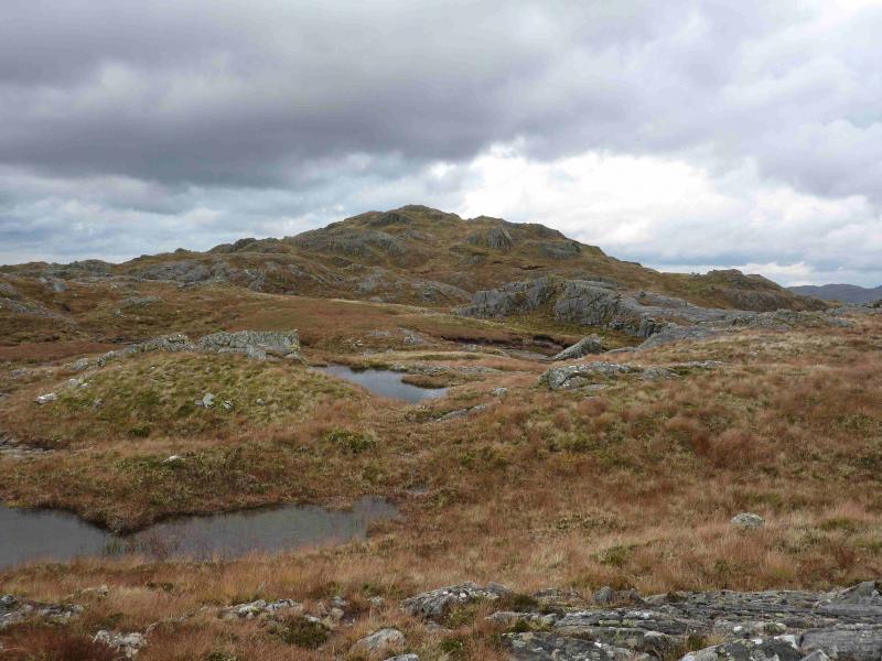
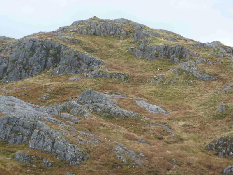
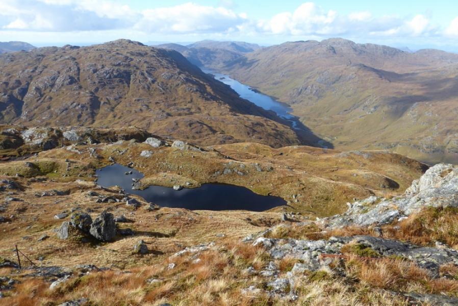
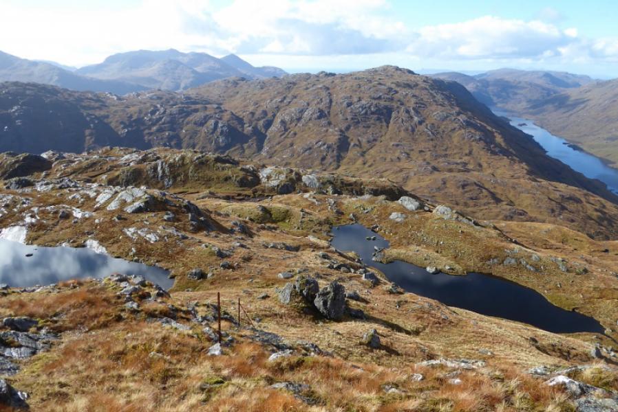
(1) Walk E back along the A 830 for about 300 m and take the track on the N side of the road. A high locked gate is soon reached but it is easy for slim walkers to slip through it. Continue up the track which goes through a small section of forest which is not shown on the 1989 map. Just before a flat wooden bridge over the Allt Feith a’ Chatha, the track swings right and climbs roughly NE above the Allt an Utha. Leave the track here and cross the flat wooden bridge. Follow the path, roughly NNW, for about 1.5 km. The path is easy to follow but has a few wet and boggy sections which are easily avoided. When the burn swings E towards Glas-charn, leave the path and follow the N side of the burn, past the confluence, on to the eastern slopes of Glas-charn. Heading roughly E will lead one up grassy strips and ultimately to the summit which is close to the steep northern slopes down to Loch Beoraid. Alternatively, one can meander up the many small ridges generally heading E. The ground is quite featureless in places. If one strays too far N, a line of old fence posts may be encountered coming from the NE/NNE. These almost lead to the summit, passing about 10 m to the N on a grassy strip. Eventually, the summit cone is reached although it is not very prominent and there is a small cairn which marks the summit of Glas-charn, 633 m. A good view of Loch Beoraid can be had by walking about 40 m N.
(2) Return by the outward route
Notes
(a) This walk took place on 31st July, 2000 and 25th October, 2011.
Photos - Hover over photo for caption. Click on to enlarge. Click on again to reduce.