Get Lost Mountaineering
You are here: Scotland » 10b Loch Eil to Glen Shiel » Loch Lochy to Loch Quoich & Glen Dessary
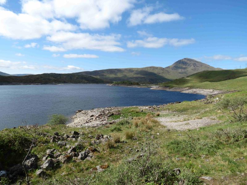
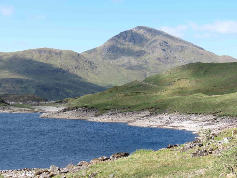
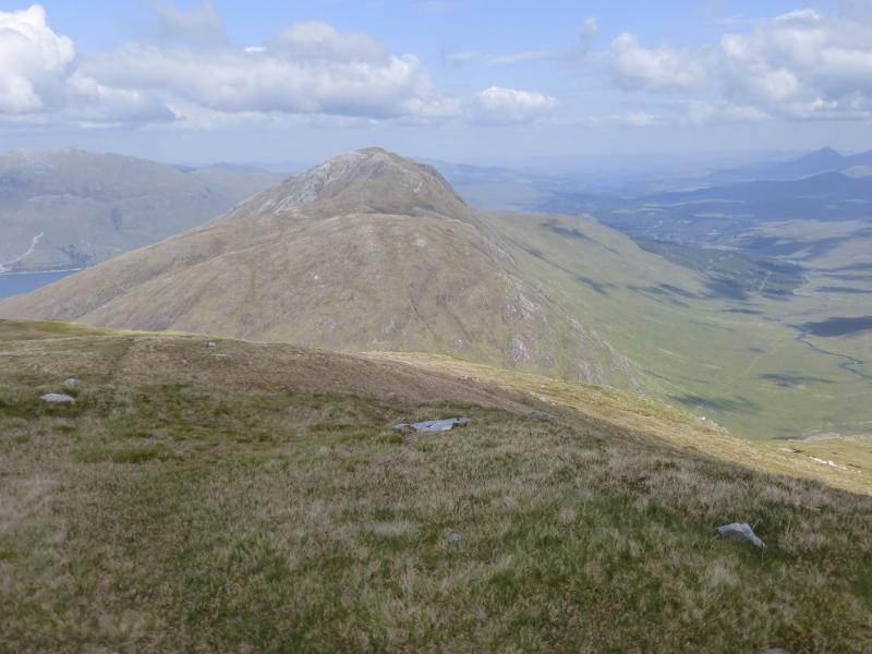
Gairich
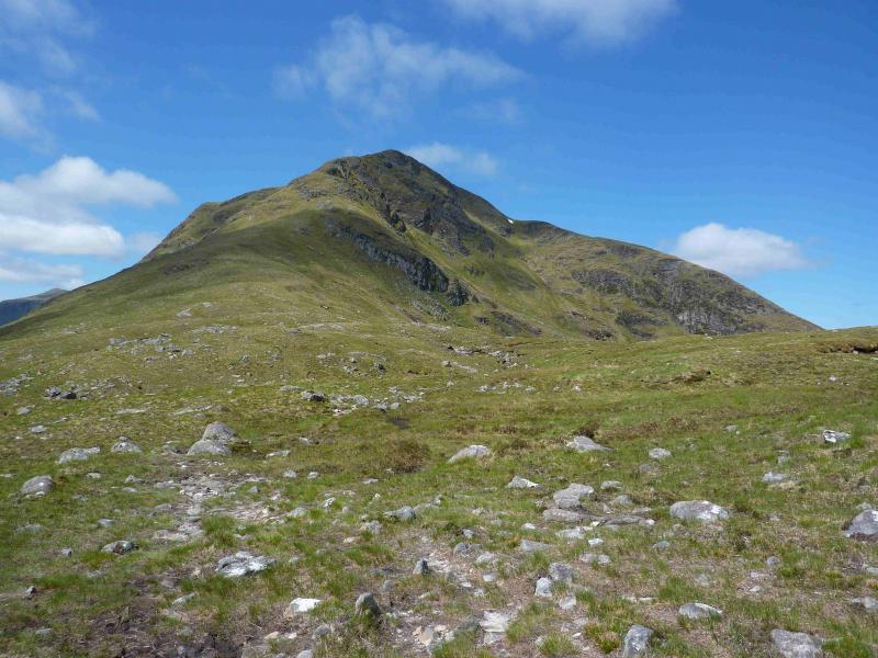
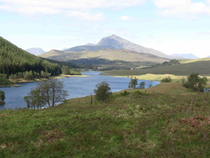
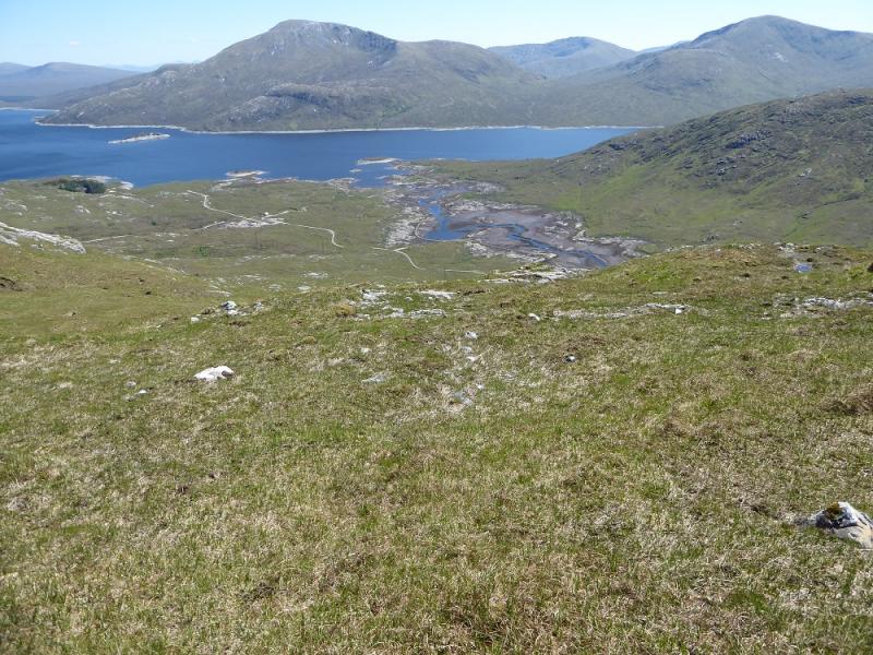
Gairich from Loch Quoich Dam
Start/Finish
Loch Quoich Dam which is well down the Tomdoun/Kinloch Hourn road which leaves the A87 road to Skye a few miles west of Invergarry. Invergarry is about 25 miles north of Fort William on the A82 road to Inverness. In clear weather, Gairich is the dominant peak as one drives past Loch Garry. There is limited parking just past the dam.
Distance/Time
16 km About 6 hours
Peaks
Gairich, 919 m, NN 025 995. OS sheet 33.
Introduction
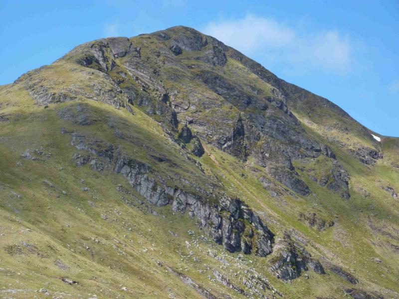
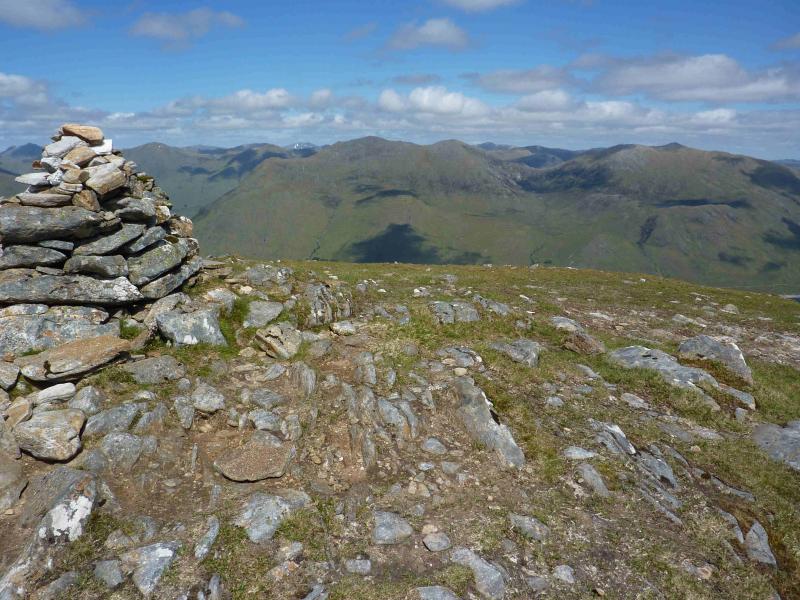
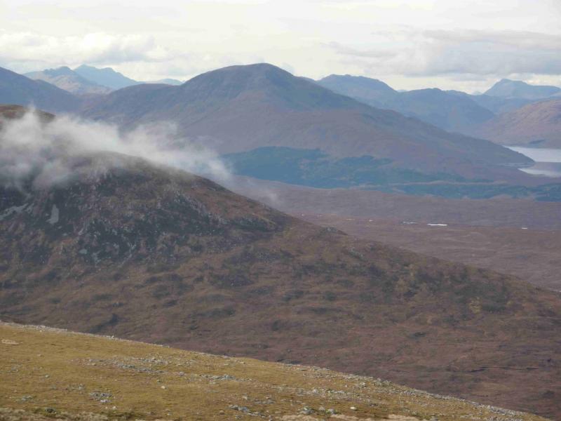
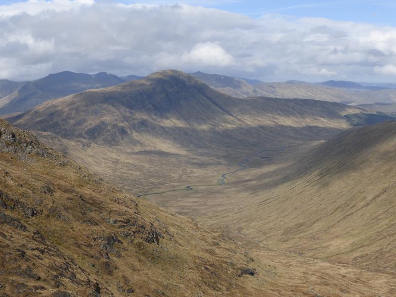
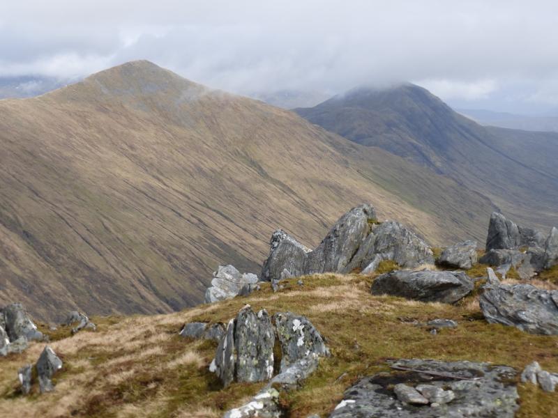
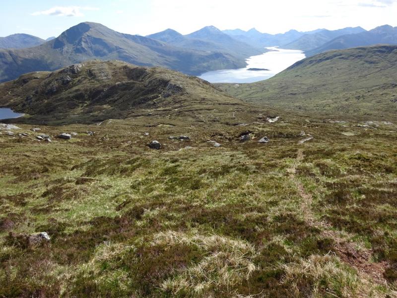
This is a relatively straight forward walk with a path all the way to the summit. It is best done in good weather as the views are superb and include all the Loch Quoich hills, the Loch Arkaig hills, Knoydart, South Glen Shiel and even distant hills such as the Cuillin of Skye and Ben Nevis. The section of the route after the dam can be very boggy after rain so this walk is best done in a dry spell. The ascent up the E ridge of Gairich has a few very easy rock steps of a metre or less but, higher up, is one of about 4 – 5 metres which is a very simple scramble although some might find it unnerving in windy, wet or icy conditions.
Route
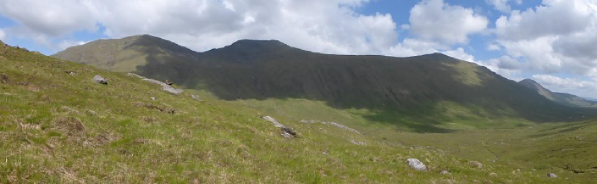
(1) Cross the dam. This will usually mean climbing over the gate. At the other end is an unlocked gate. Follow the undulating path, boggy in places, to the edge of the Glen Kingie forest where it turns W to ascend the Druim na Geid Salaich on a distinct path which in places more resembles a track. Follow the path, undulating in places, over the Druim na Geid Salach to the foot of the E ridge of Gairich. The path continues and zig zags up the E ridge. There are a few low rocky steps (less than a metre) before an easy angled rock wall is reached higher up. This is a very straight forward and easy scramble with good holds and ledges. It might be possible to avoid it by going left, around its base, for about 15 metres, where an easy angled grassy gully goes up its side. However, this route has not been checked out but it looks easier than the rock wall. Abnove the wall, the path contniues easily to the medium cairn which marks the summit of Gairich, 919 m. There is a low shelter cairn just to the W.
(2) Return the same way.
Notes
(a) This walk took place on 16th April, 1993, 27th May, 2005 and 2nd June, 2012.
Photos - Hover over photo for caption. Click on to enlarge. Click on again to reduce.