Get Lost Mountaineering
You are here: Scotland » 10b Loch Eil to Glen Shiel » South of Loch Morar & Loch Arkaig
Corryhully Horseshoe: Sgurr Thuilm & Sgurr nan Coireachan
Corryhully Horseshoe: Sgurr Thuilm & Sgurr nan Coireachan
from Glenfinnan
Start/Finish
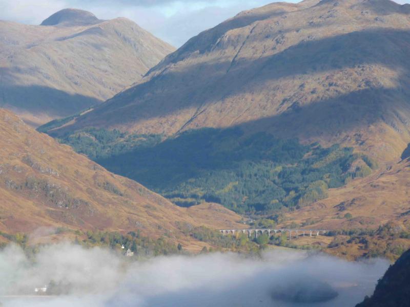
Car park about 20 m down the Corryhully private road which, going W is the first right after the Glenfinnan visitor centre car park. Glenfinnan is about 15 miles down the road to Mallaig from the T Junction near the Ben Nevis Distillery on the northern edge of Fort William.
Distance/Time
21 km (7 km can be cycled along a tarmac road). Approx 9 hours
Peaks
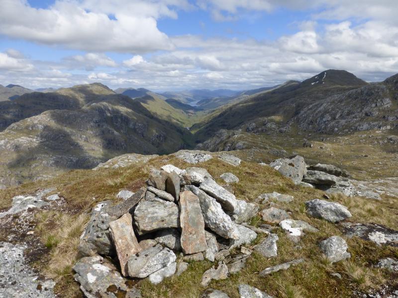
Sgurr Thuilm, 963 m, NM 939 879
Sgurr nan Coireachan, 956 m, NM 902 880. OS sheet 40.
Introduction
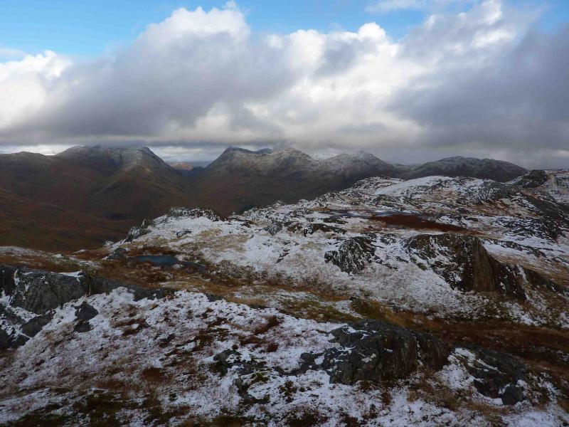
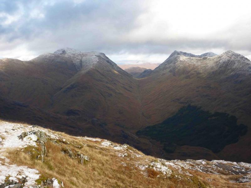
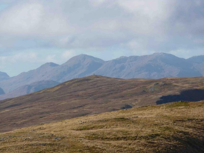
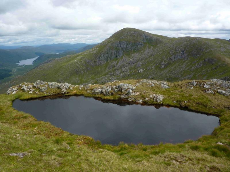
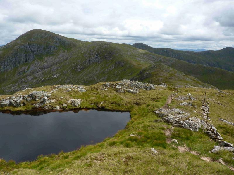
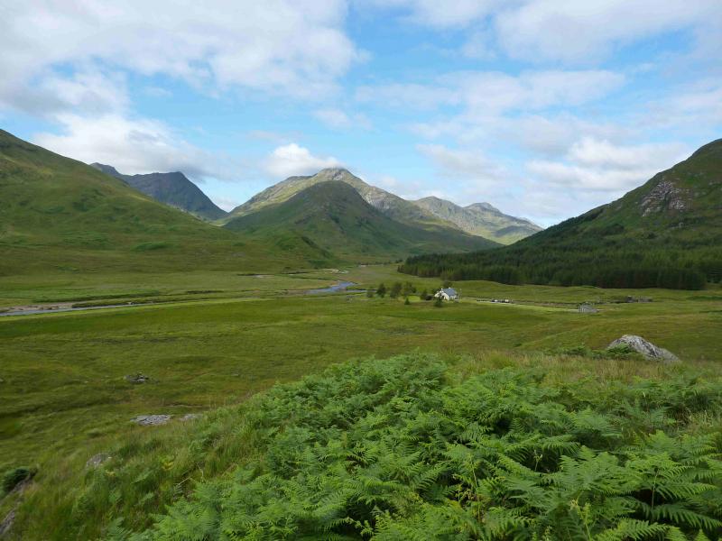
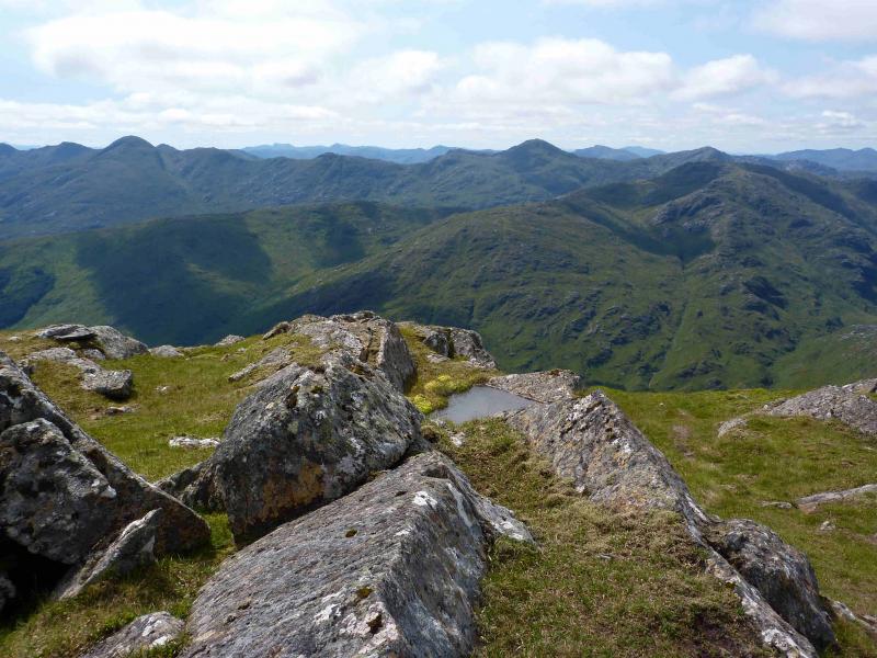
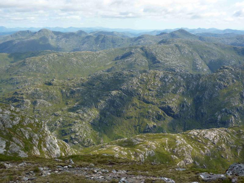
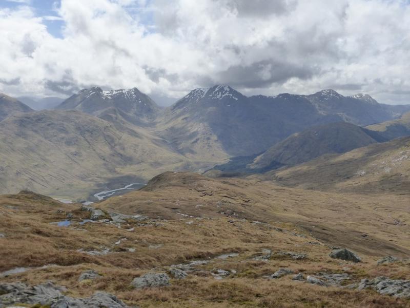
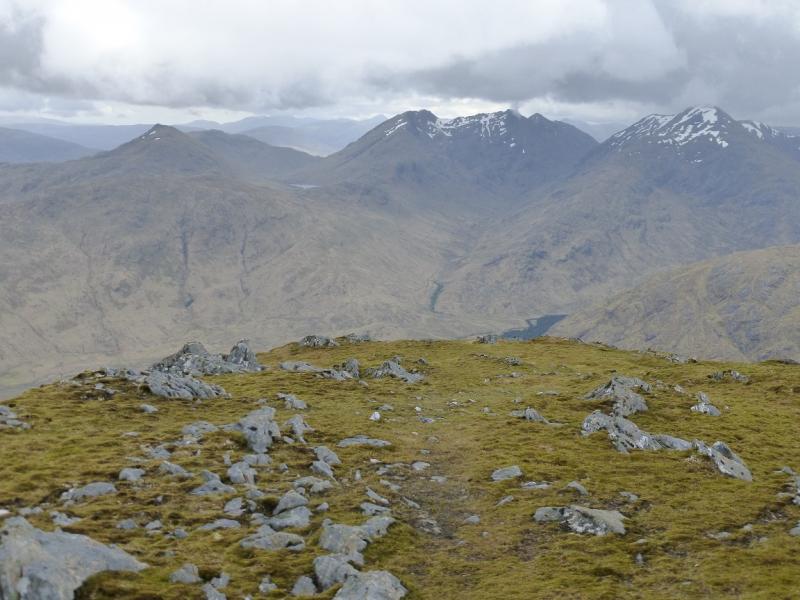
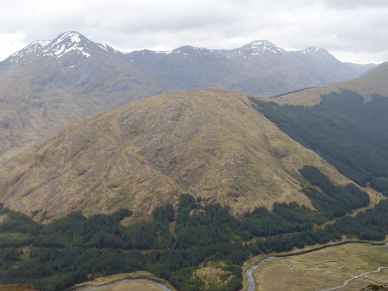
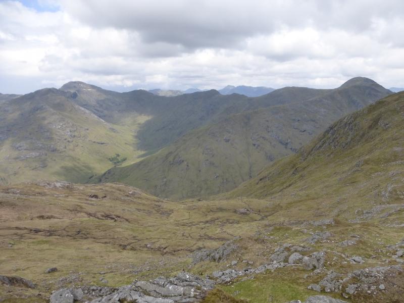
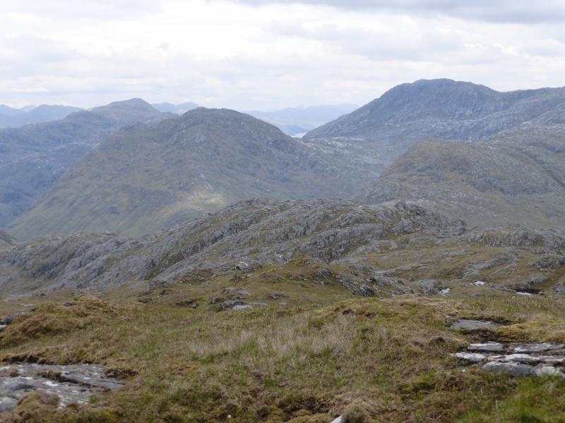
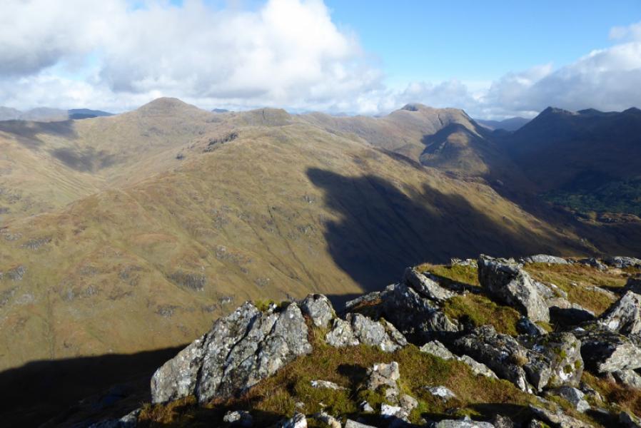
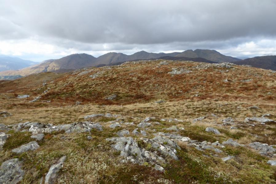
This is one of the classic walks in the west Highlands. On a clear day, almost all the peaks in the area can be seen including Ben Nevis and beyond, Sgurr na Ciche, Knoydart, Eigg, Rum and Skye. The going is rough in places and sometimes boggy. The SMC recommend tackling Sgurr nan Coireachan first, possibly because it is the steeper but this route goes to Sgurr Thuilm first which means one has the seascapes ahead rather than behind. A fair proportion of the route crosses very easy angled slabs which are a delight to walk on when dry but become slippery when wet and need care. In 2011, extensive work was going on in the glen to construct a hydro scheme. This had no impact on access other than one very minor diversion just past Corryhully bothy to keep walkers away from construction areas.
Route
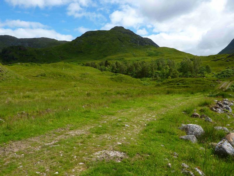
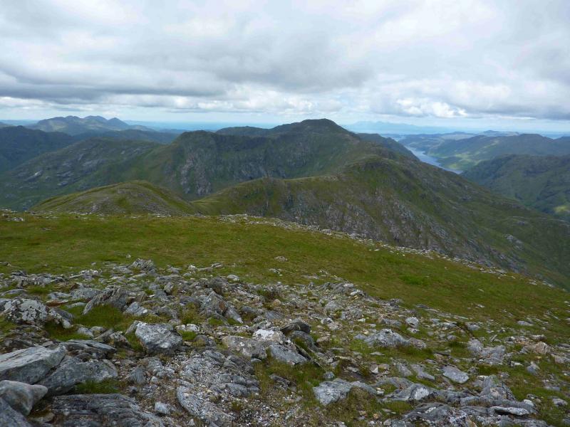
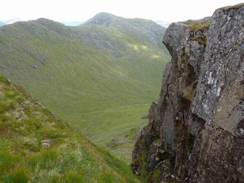
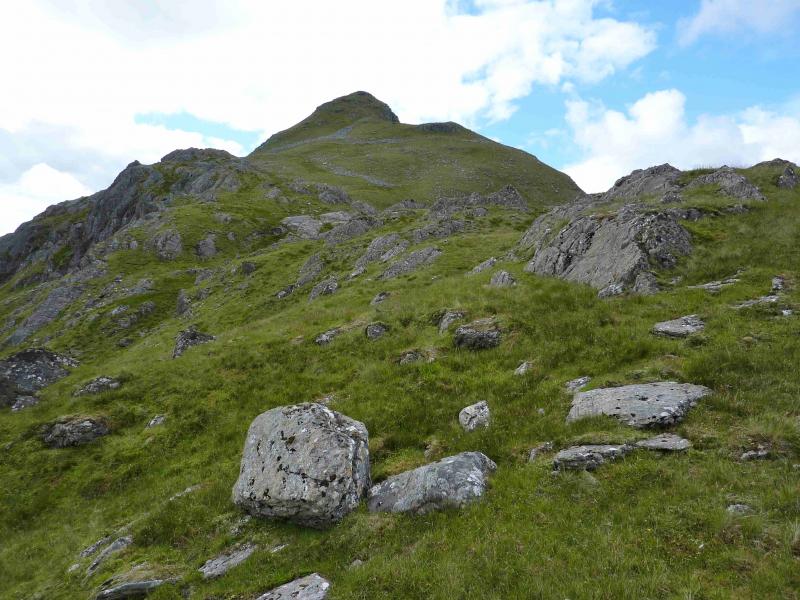
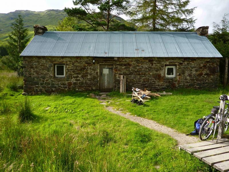
(1) From the car park, walk or cycle up the tarmac road which head N, soon passing under the famous Glenfinnan viaduct. Stay on the left, W, of the river. After about 3 km, the tarmac road goes left to Corryhully Lodge. Go right here and follow the rough track for about 400 m to Corryhully bothy. In the summer of 2011, the bothy was in good condition and is certainly watertight. It has electricity with a coin meter (takes 50 p coins). There is electrical lighting and heating! If cycling, leave bikes at the bothy and continue up the track still on the left of the river. The track starts to climb more and reaches the stream flowing out of the corrie between the two Munros. Cross the stream, where there is a bridge if needed, and take the track going right towards the bealach between Sgurr Thuilm and Streap. This is not shown on the 1989 OS map. Just after the first bend, the path starts up Sgurr Thuilm. On 22/7/11, there was a sign pointing the way. Follow this path, mainly on grass and boggy in places, up Druim Coire a' Bheithe. The way is fairly steep in places. When the gradient eases, curve round to the N, over a minor top, then climb the final slope to the medium summit cairn of Sgurr Thuilm, 963 m. A line of old iron fence posts is crossed before the final climb to the summit.
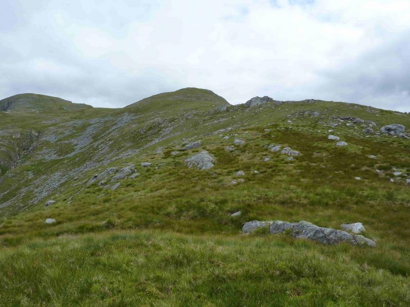
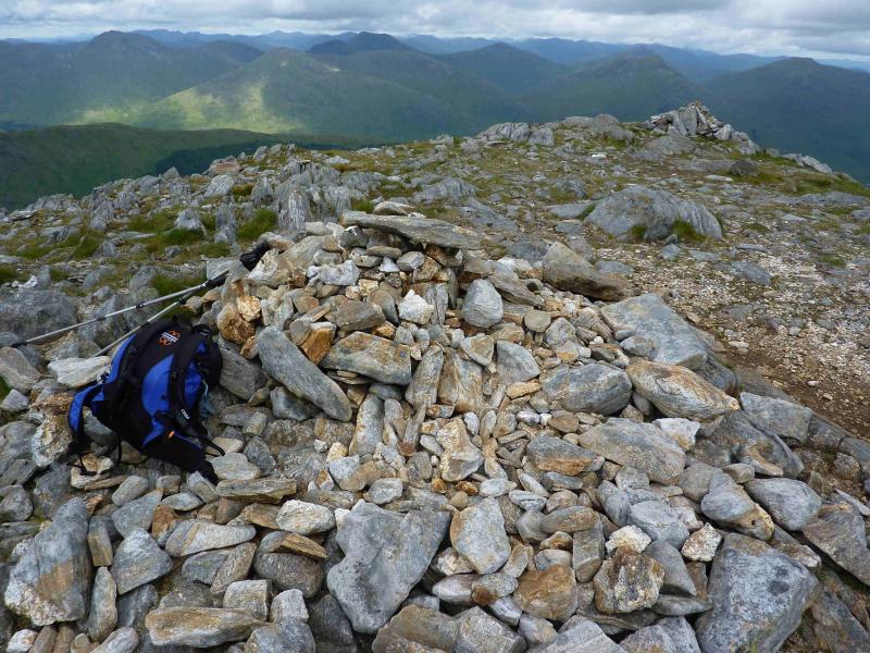
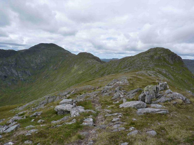
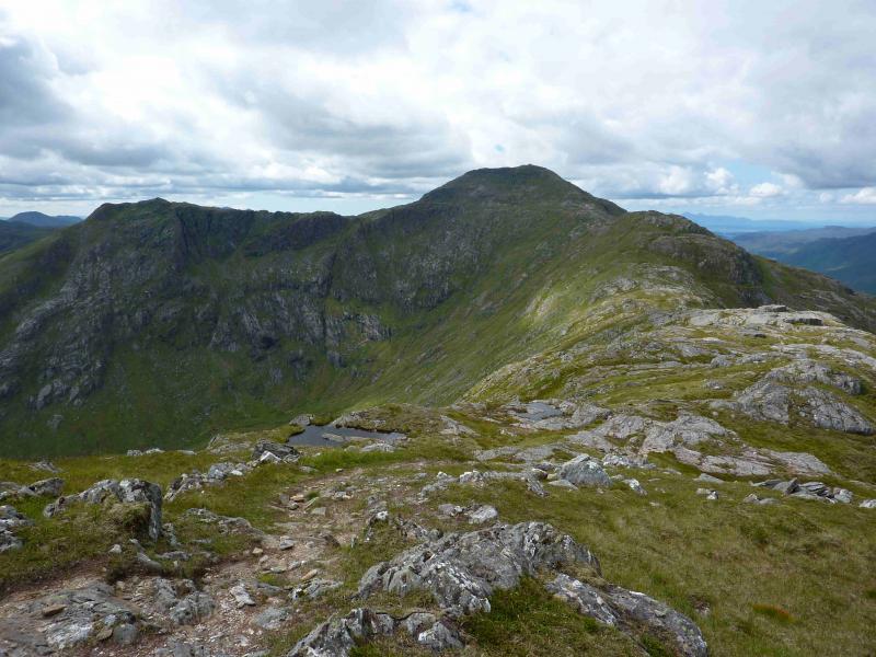
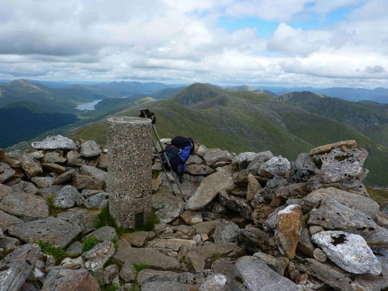
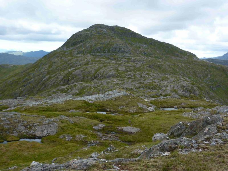
(2) Descend SSW, on a faint path, to reach the line of fence posts. In poor visibility, one could walk due S to intersect this line. Follow the fence posts along the undulating ridge with much gain and loss of height. Pass first over Pt. 858, then an unnamed top, then Beinn Garbh, then Meall nan Tarmachan before finally ascending the ENE ridge which leads to a circular shelter cairn inside which is the trig point marking the summit of Sgurr nan Coireachan, 956 m. The fence posts lead to this summit.
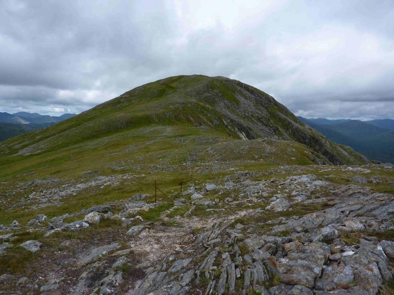
(3) Descend roughly SE, on a path which is sometimes faint, to reach a grssy bealach. Ascend the other side to Sgurr a' Choire Riabhaich, 852 m, then descend SE down the long ridge. Parts of the descent are steep but a good, though stony path, zig-zags down the steepest section. Much lower down, the path becomes a proper old fashioned stalkers' path and leads down to the outward track, N of the bothy. Walk S along the track back to the bothy and Glenfinnan.
Notes
(a) This walk took place on 22nd July, 2011
(b) The time quoted assumes the use of a bicycle. If walking only, add about an hour.
Photos - Hover over photo for caption. Click on to enlarge. Click on again to reduce.