Get Lost Mountaineering
You are here: Scotland » 10b Loch Eil to Glen Shiel » South of Loch Morar & Loch Arkaig
Braigh nan Uamhachan
Braigh nan Uamhachan
from the Strontian (A861) turning on the A830 Fort William to Mallaig road
Start/Finish
Drive from Fort William towards Mallaig. Turn left for Strontian after about 10 miles and park almost immediately on the right before the railway bridge.
Distance/Time
10 km walk & 12 km bike. Approx 7 hours
Peaks
Braigh nan Uamhachan, 765 m, NM 975 866. OS sheet 40.
Introduction
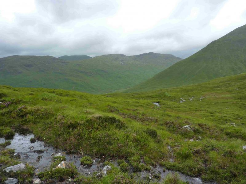
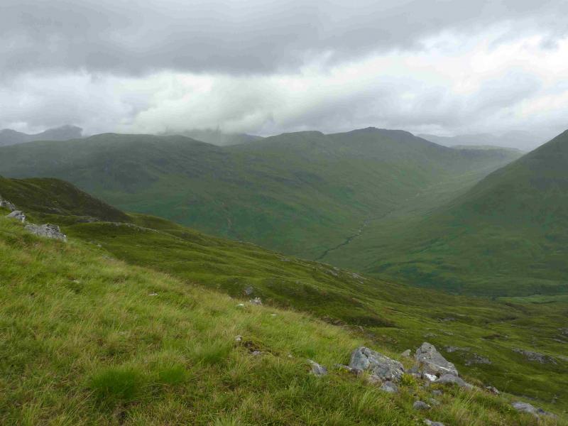
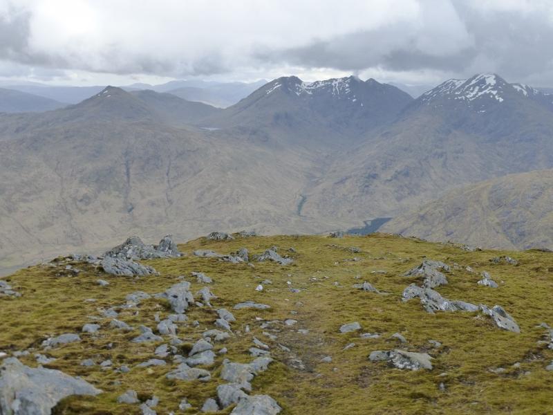
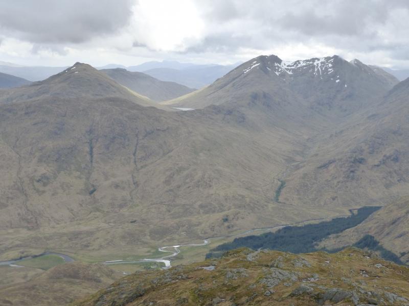
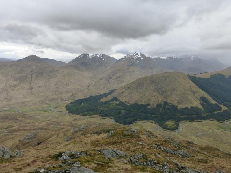
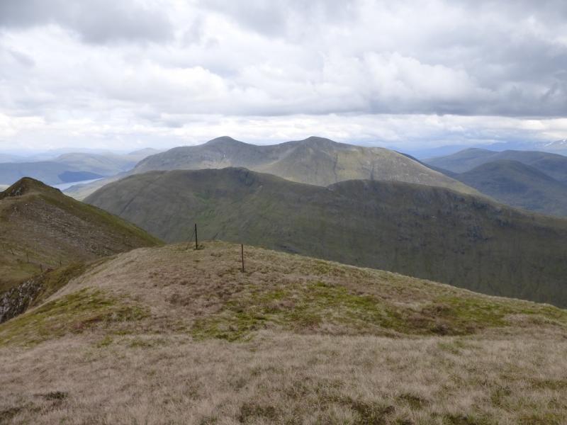
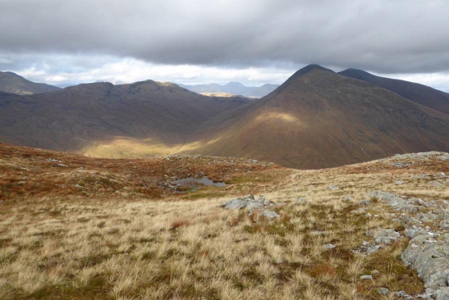
This is a strenuous walk with a steep ascent, mainly on pathless grass. On a clear day, there are excellent views in all directions not just of the surrounding hills such as Streap and Gulvain but also to the Glen Dessary hills and to Ben Nevis and even beyond.
Route
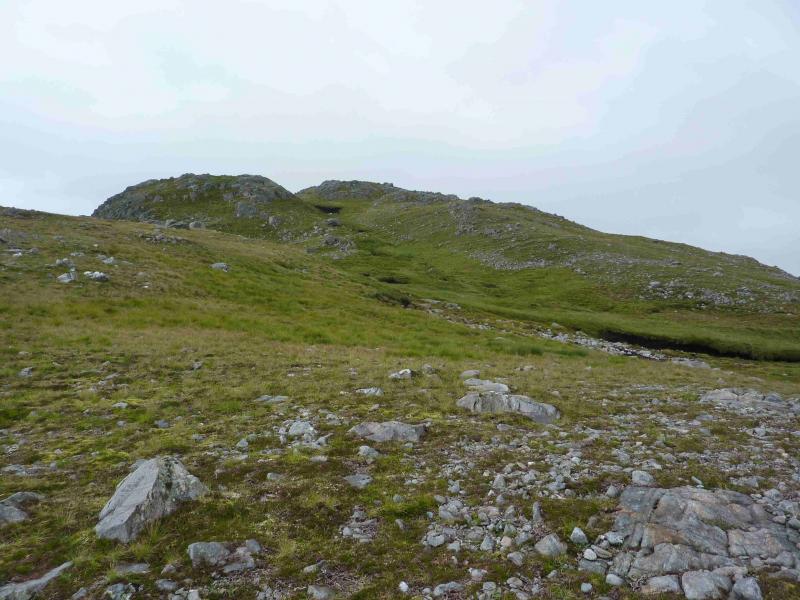
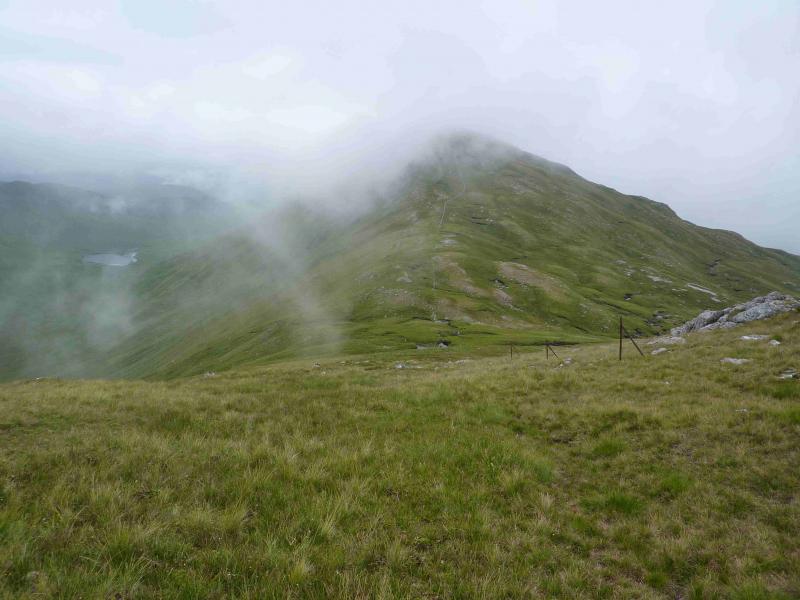
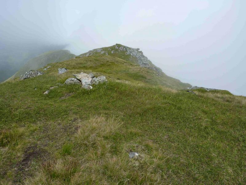
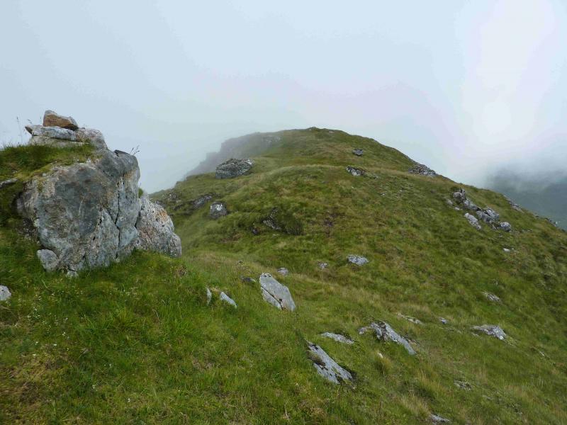
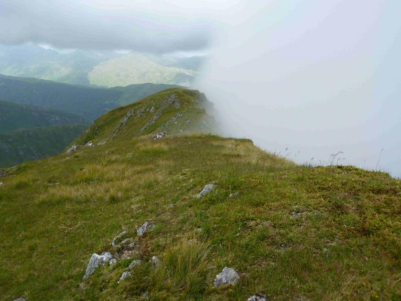
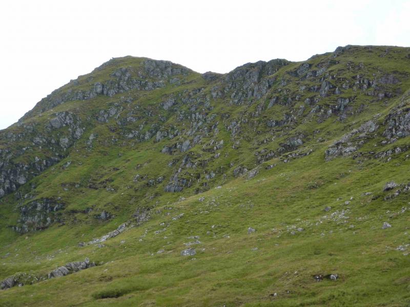
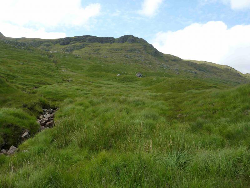
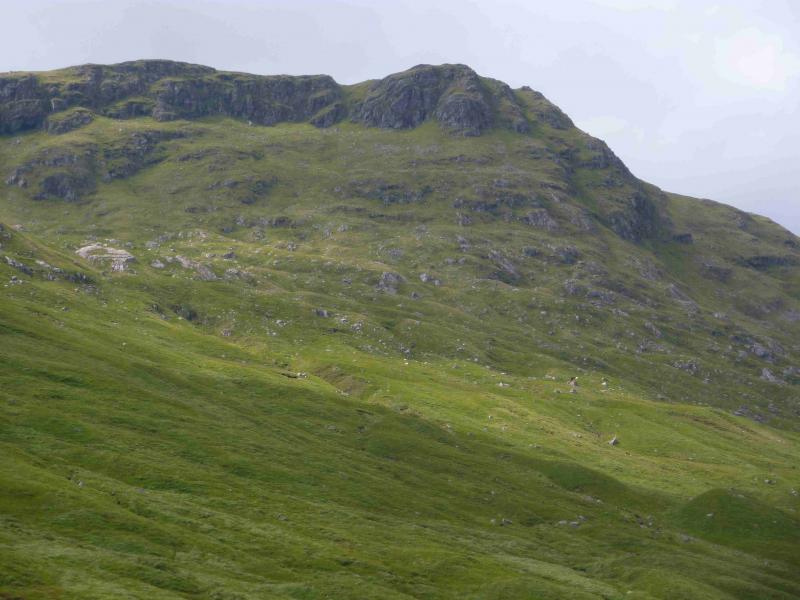
(1) Cross the A830 and walk about 50 m towards Fort William before turning left on a tarmac road which leads to some houses. In another 50 m, turn right and cross an old stone bridge. Just after this, on the left, there is the track leading up Gleann Fionnlighe. Follow this N over a slight rise then down to a bridge over the River Fionn Lighe. Continue on the left of the river. After a while, the track deteriorates and there are a few rough and boggy sections. Follow the track until past the last section of forest. Not far past here, on the left, is a crag with trees. Ascend up the right of this and keep going until the crest is reached, somewhere on Na h-Uamhachan. The ascent is not too bad as there are quite a few animal tracks which can be used. Once on the crest, follow it NE then N, over several undulations, over Sron Liath, then up to the small cairn which marks the summit of Braigh nan Uamhachan, 765 m. There are actually two cairned points, of similar height, about 30 m apart so visit both. As one walks N along the crest, a stone wall appears and can be followed to just before the final rise to the summit wher ethe wall leaves the ridge and heads down W into upper Gleann Dubh Lighe.
(2) Either retace the outer route or, better still, continue N along the summit ridge then descend the ridge heading E towards Gualan nan Osna. Before this top is reached, drop into the headwaters of the Allt a' Choire Reidh, the burn between Braigh nan Uamhachan and Gulvain. The ground is generally easy to walk on. In clear weather, a track may be seen downstream on the E side which should be aimed for. The track is initially rough but leads back to the end of the outward track.
Notes
(a) This walk took place on 3rd June, 2002, and 26th July, 2011.
(b) Not using a bicycle adds about an hour to the walk.
Photos - Hover over photo for caption. Click on to enlarge. Click on again to reduce.