Get Lost Mountaineering
You are here: Scotland » 10b Loch Eil to Glen Shiel » Loch Lochy to Loch Quoich & Glen Dessary
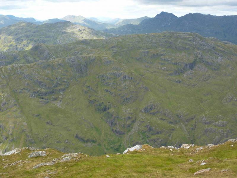
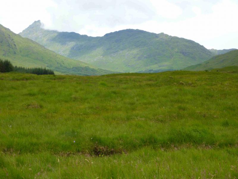
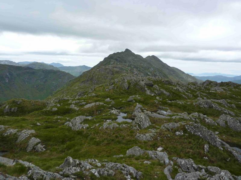
Bidean a' Chabair
Bidean a' Chabair from far end of Loch Arkaig
Start/Finish
The end of the public road at the far end of Loch Arkaig. This is a long drive (40+ minutes) from Spean Bridge via Gairlochy. The road by the loch is single tracked and narrow with mainly blind bends and summits. Be prepared to reverse some distance if another vehicle is encountered. If pulling a trailer or caravan, make sure you can reverse with that as well. The parking space used to be quite limited but there is now a car park for 17 cars. You may still need to arrive early to be sure of a place though as the previous parking options on the verges have been blocked off. On 6/5/14, substantial timber clearing was taking place in Glen Pean which meant that long and very heavy timber wagons were driving the full length of this road and wrecking it. In places, half the road is missing. At the current rate of destruction, parts of the road may soon become impassable to cars. The Loch Arkaig road is bad enough when in good repair but is now awful. Taking one's car down Loch Arkaig is now probably the driving equivalent of self-flagellation!!!
Distance/Time
12 km walk + 9 km bike. About 9 hours.
Peaks
Bidean a' Chabair, 867 m, NM 889 931. OS sheet 40.
Introduction
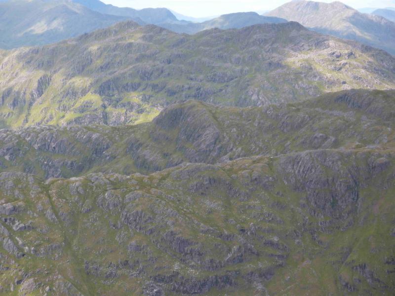
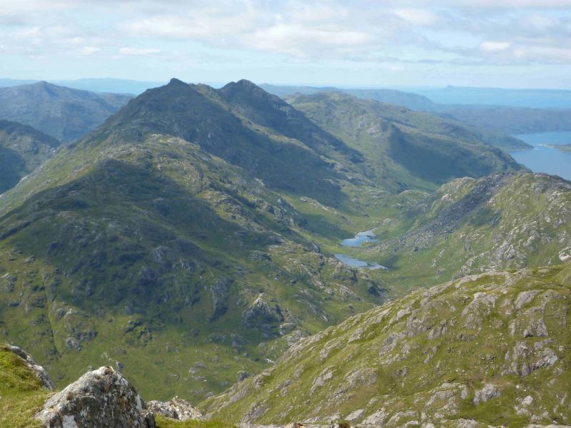
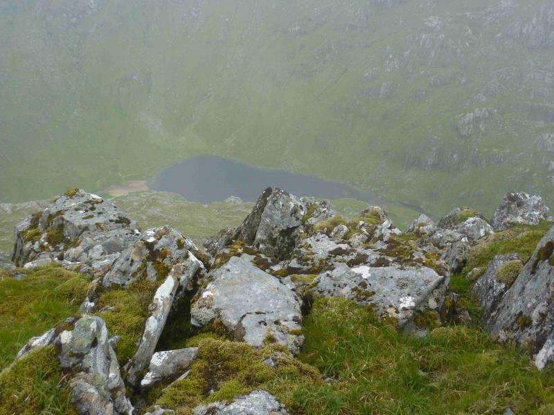
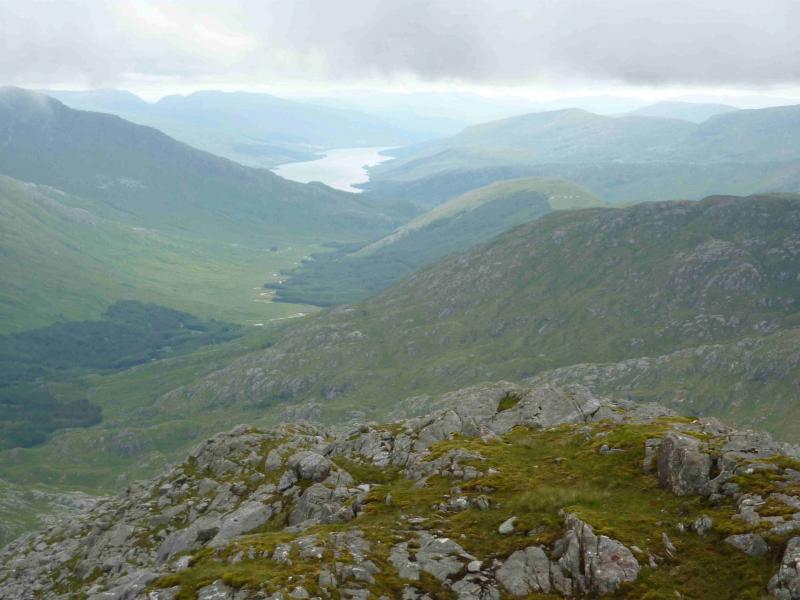
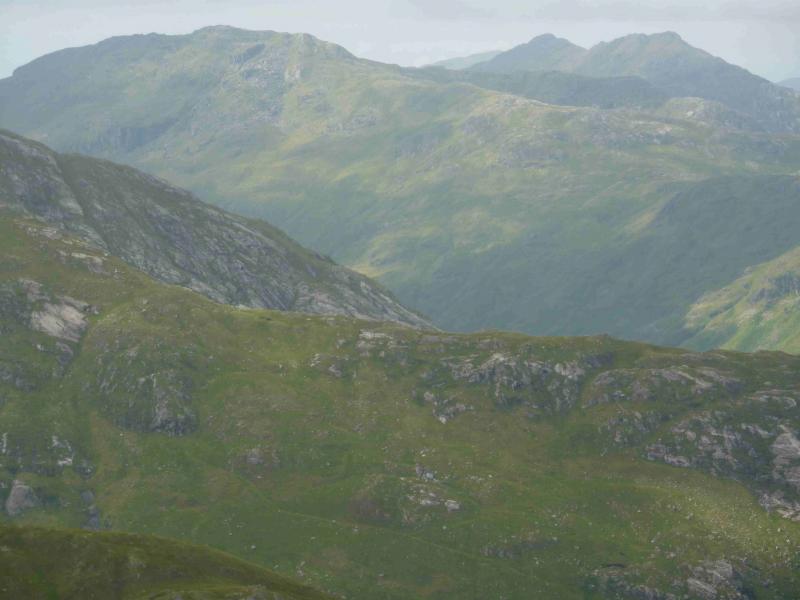
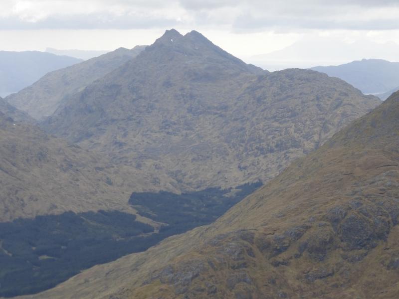
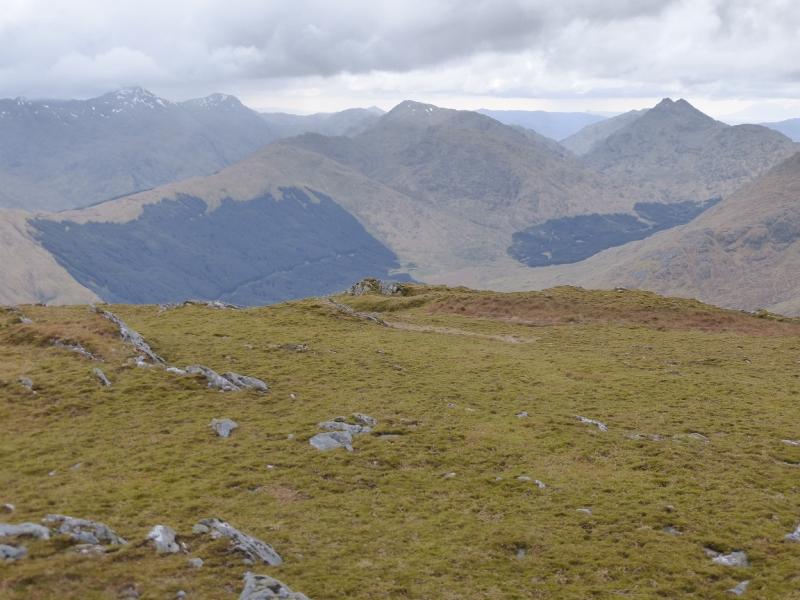
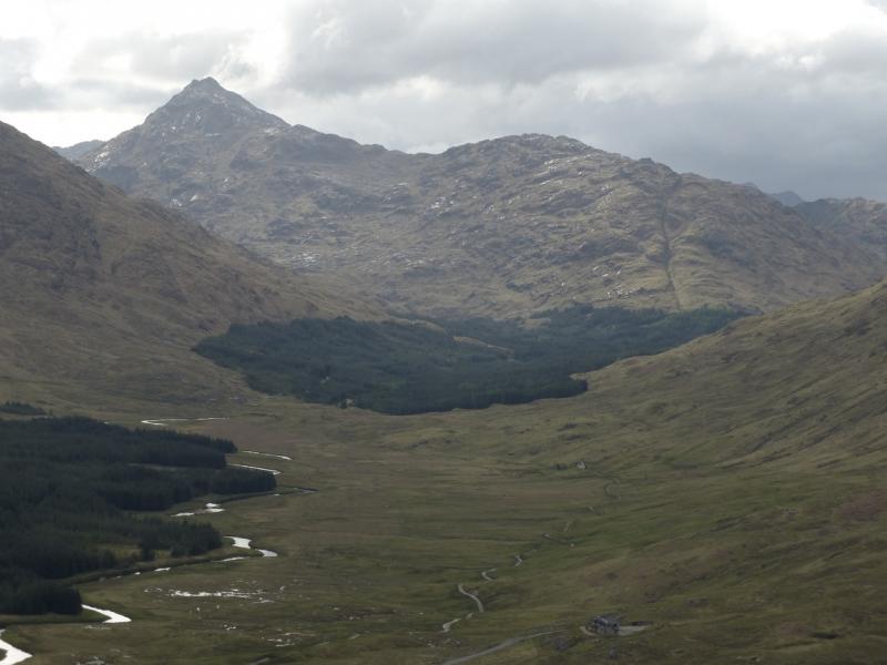
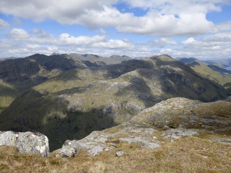
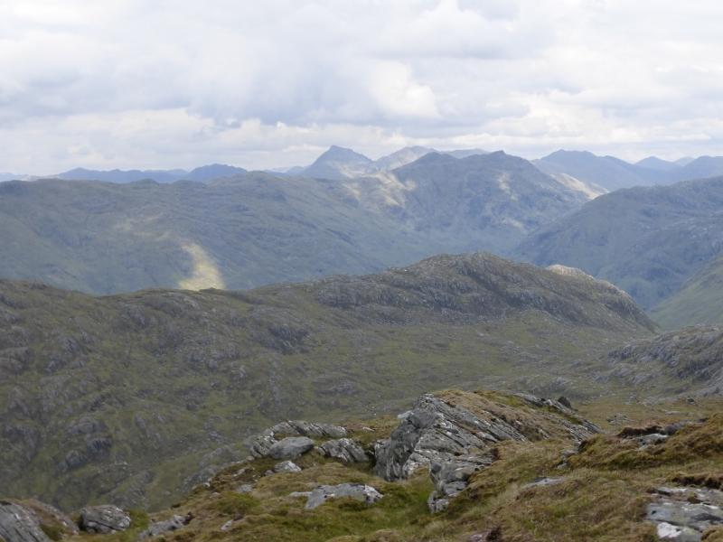
This is a very strenuous walk over much rough and boggy ground lower down. Glen Dessary is quite boggy beyond the end of the track at Upper Glendessary and much of the higher route is over stony and rocky ground. The route goes over rocks and slabs which would need care in the wet. There are a few short sections where hands will be needed on the rock but no real scrambling skills are needed. This route is best done after it has been dry and warm for some days to dry up some of the boggy areas. Once Glen Dessary is left, most of the route is pathless. The views on a clear day are excellent especially to the Sgurr na Ciche range, Knoydart, the Corryhully range not to mention Loch Nevis and Loch Monar. More distant views extend to Rum and Ben Nevis.
Route
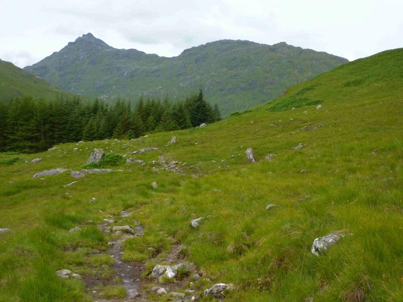
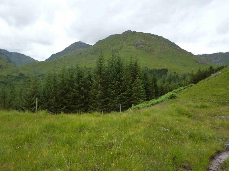
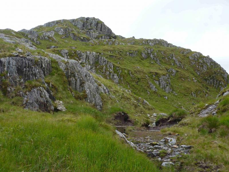
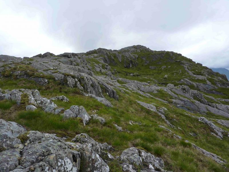
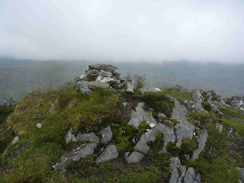
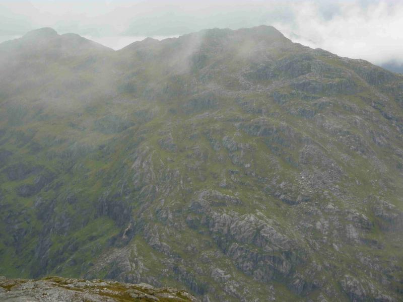
(1) From the end of Loch Arkaig, walk or cycle, up the good track to Upper Glendessary where the track ends. A sign just before the house indicates where the path goes. Follow the path past Sgurr Cos na Breachd-laoidh to reach the Allt Coire nan Uth. Normally, this is crossed easily but will present problems in spate conditions. Fortunately, there is a bridge not far down stream which is well hidden from view until one gets close. On 21/7/12, this bridge was just about OK but is now tilted! Once across the burn, ignore the smaller path on the right which leads up the N ridge of Sgurr nan Coireachan. On 23/7/11, a small cairn marked the start of this path. Continue ahead up Glen Dessary. Once past the forest, look for an ATV track coming out of the forest and converging with the path. Follow the track down to the River Dessary and cross over. This should not normally be a problem but, in spate conditions, it may be necessary to go further upstream. Pick a way up the steep grassy and rocky nose of Meall na Sroine. If clear, there is a pointed outcrop on the skyline which can be aimed for. Once over Meall na Sroine, follow the undulating ridge of Druim Coire nan Laogh SW. There are numerous minor tops on this ridge as well as some lochans and much weaving around will be necessary to avoid unnecessary loss of height. The ridge is narrow in places – not narrow enough to cause concern but straying from the crest could result in more unnecessary loss of height. The further along the ridge one goes, the more apparent a faint path becomes. The summit is well seen ahead on a clear day and looks like a steep tower. The ridge path leads to its foot and goes to its left, S, side before cutting back. There is a short rocky section – not quite a scramble in summer conditions but hands will be needed. Above this, the path leads quickly to a medium cairn which marks the summit of Bidean a' Chabair, 867 m.
(2) Return the same way.
Notes
(a) This walk took place on 31st May, 2004, and 21st July, 2012.
(b) Not using a bicycle would add about an hour to the time.
(c) An alternative approach if cycling (not checked out) is to go to Strathan then take the forestry track on the S side of Glen Dessary. This goes further up the glen than the track on the N side. Cycle to the end of the track then follow a path which comes out of the forest as the ATV track mentioned earlier to join the route described above.
(d) On a clear day, it is worth going beyond the summit to the top of Sgurr na h-Aide for even better views westwards.
Photos - Hover over photo for caption. Click on to enlarge. Click on again to reduce.