Get Lost Mountaineering
You are here: Scotland » 10b Loch Eil to Glen Shiel » South of Loch Morar & Loch Arkaig
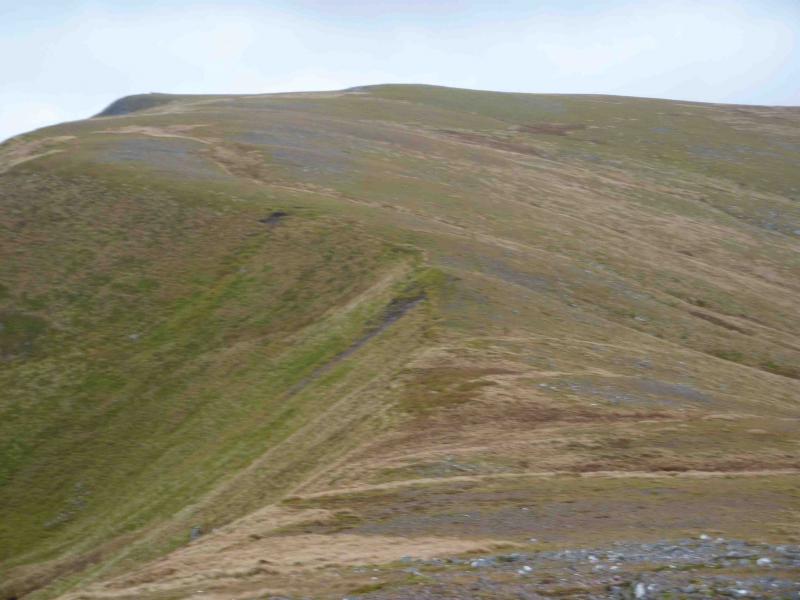
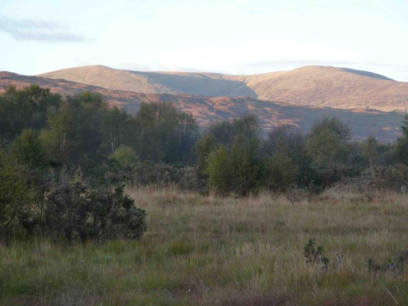
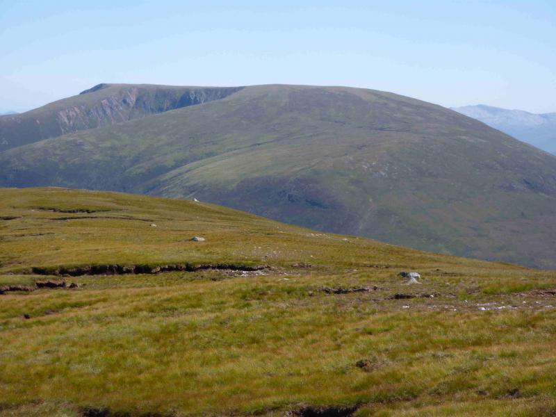
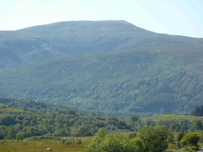
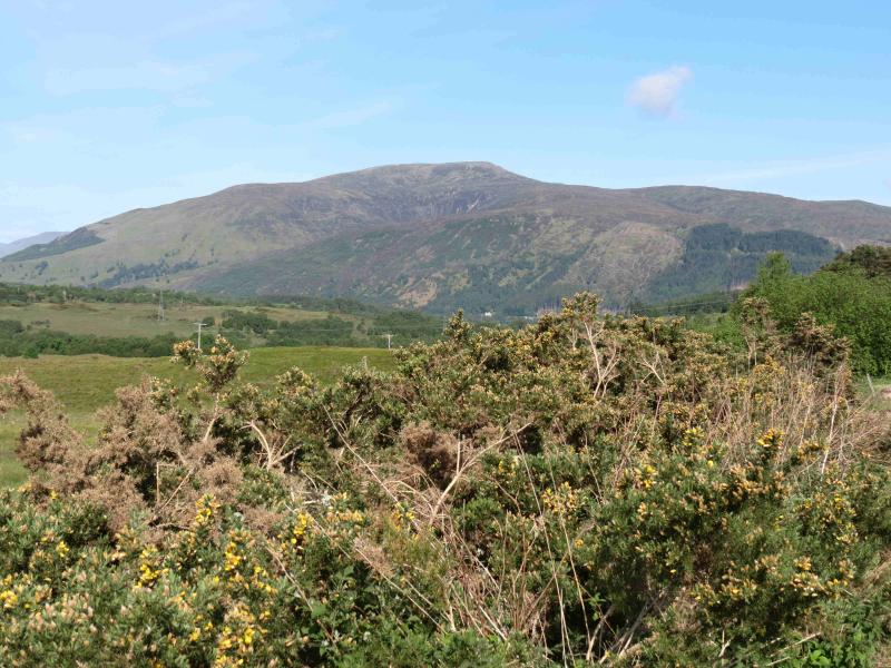
Beinn Bhan
Beinn Bhan from Glen Loy
Start/Finish
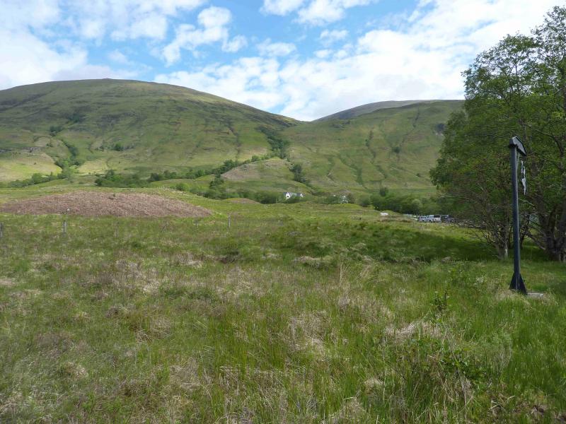
Inverskilavulin turning, just before the bridge over the River Loy, about 3 km up Glen Loy where there is just enough room for the careful parking of two cars. Glen Loy is about 6 km up the B8004 road from Banavie to Gairlochy. Banavie is about 2 km down the A830 Fort William to Mallaig road and is just after the swing bridge across the Caledonian Canal.
Distance/Time
10 km Approx 5 hours
Peaks
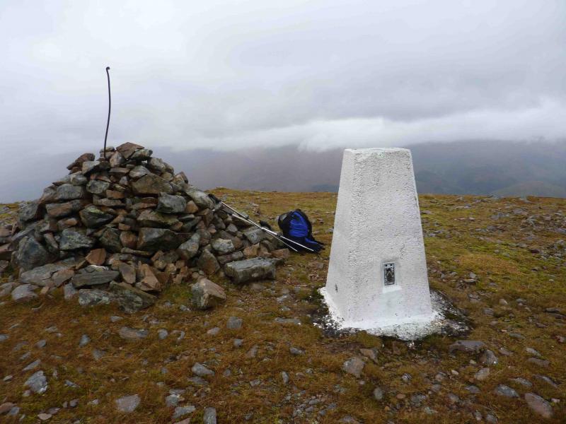
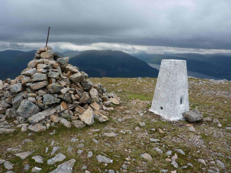
Beinn Bhan, 796 m, NN 140 857. OS sheet 34 or 41.
Introduction
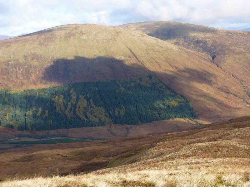
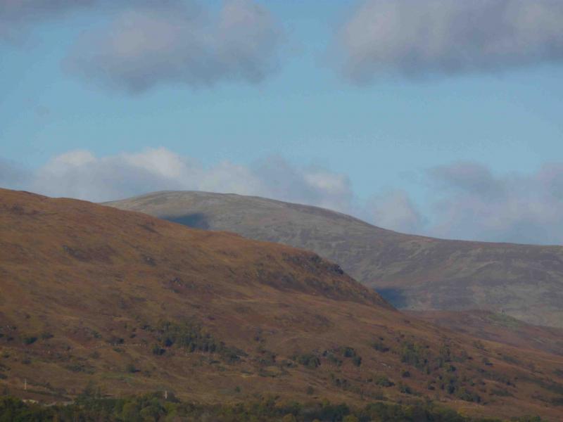
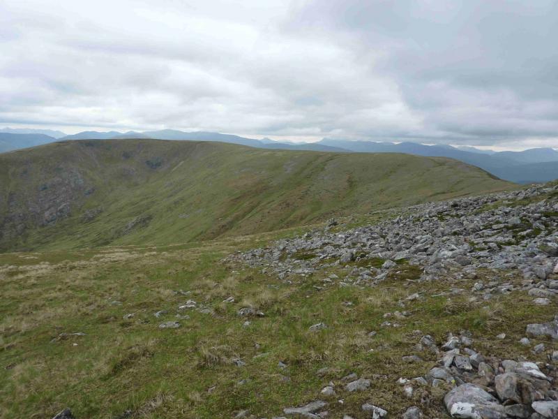
Beinn Bhan is a steep grassy hill with a pleasant curving summit ridge around the Coire Mhuillinn. On a clear day, there are panoramic views in all directions including Ben Nevis, Grey Corries, the hills above the Mallaig road and the Loch Arkaig hills.
Route
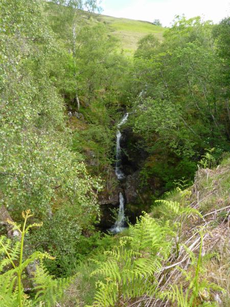
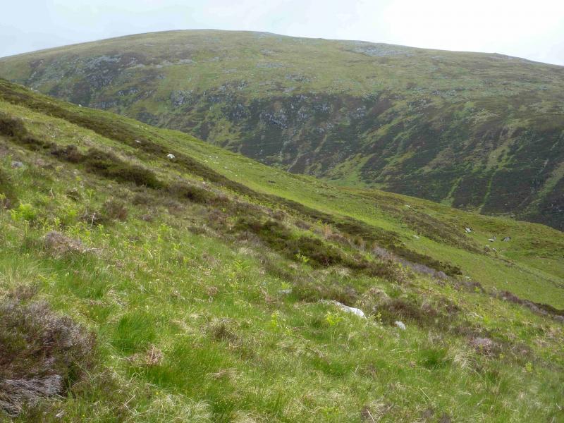
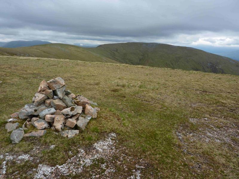
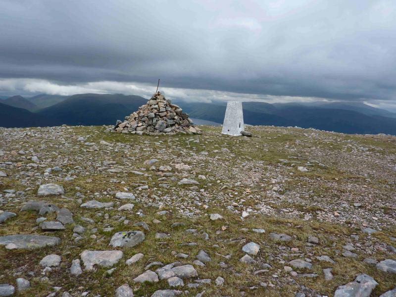
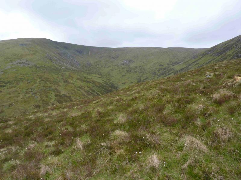
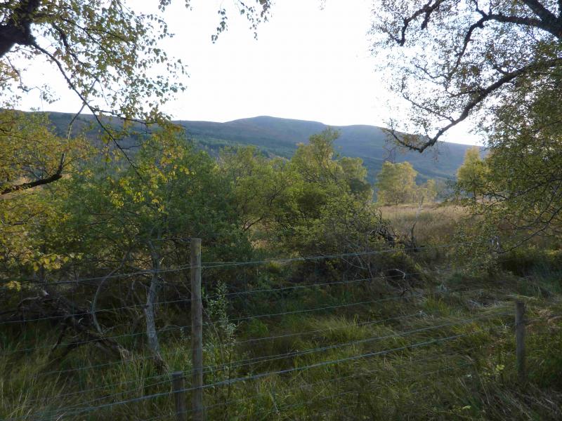
(1) Walk up the track towards Inverskilavulin. New houses have been built which are surrounded by a high fence. A path makes a short, signed, detour to the left around the fence, crosses a small bridge and soon rejoins the old path up the E bank of the burn flowing down from Coire Mhuillin. (There is also a path up the W bank). Follow path uphill past some scenic waterfalls on mainly grassy terrain (ferns in summer). When the burn levels off, cross to the W bank and start climbing the long and steep, but easy, grassy slopes but with little hint of a path. When the going finally eases, a path appears and passes a small cairn at the start of the long curving plateau around the top of Coire Mhuillin. The more prominent cairn marked on the 1991 OS sheet 41 is passed soon after. The going underfoot is very pleasant on short cropped grass. A line of intermittent fence posts comes in from the left and can be followed to the summit. Continue along the curving ridge and descend slightly to a shallow bealach before climbing gently to the large summit cairn and trig point of Beinn Bhan, 796 m. The fence posts pass about 30 m to the S of the summit.
(2) Head S across the gently undulating plateau then down a reasonably well defined ridge. Gradually trend SSW down easy grassy slopes to reach a path which, lower down, becomes the outward path which can be followed back to the start.
Notes
(a) This walk took place on 29th May, 1996 and 21st October, 2010.
Photos - Hover over photo for caption. Click on to enlarge. Click on again to reduce.