Get Lost Mountaineering
You are here: Scotland » 10a Morvern, Sunart, Ardgour and Moidart » Moidart & Ardnamurchan
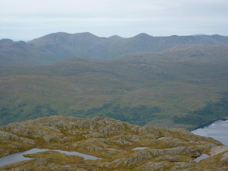
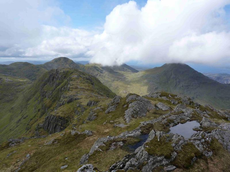
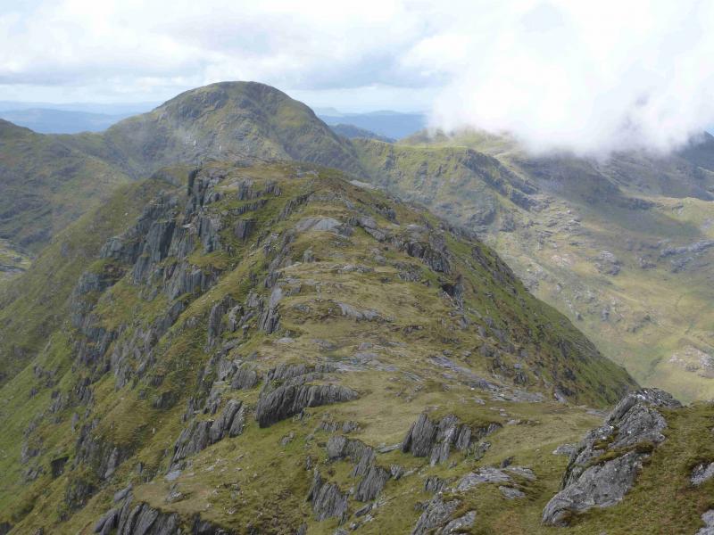
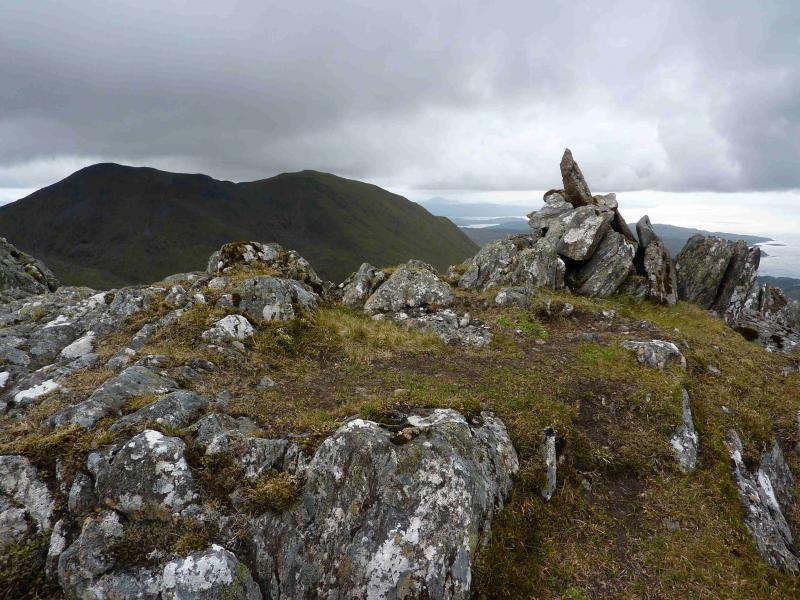
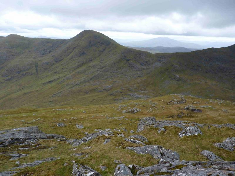
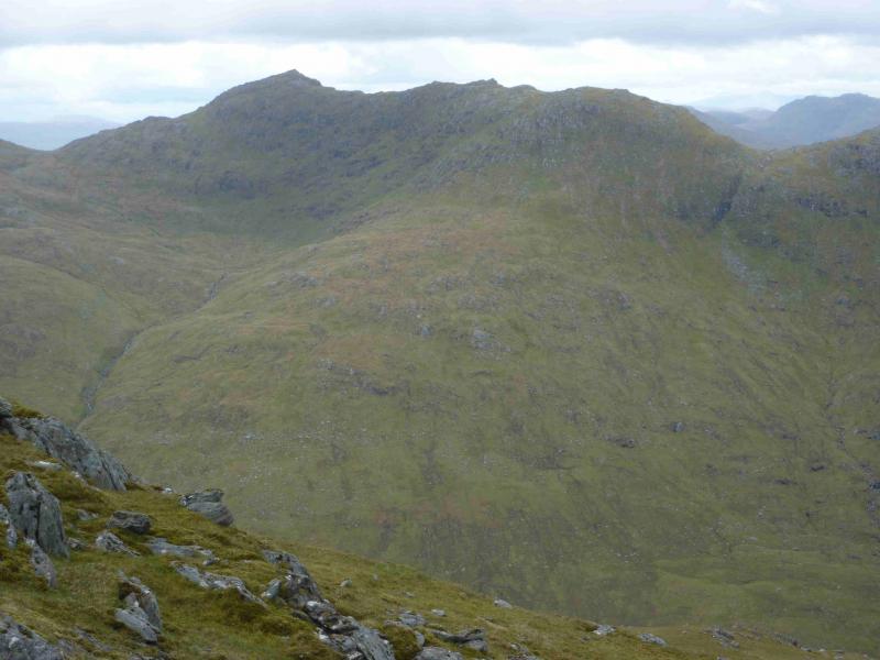
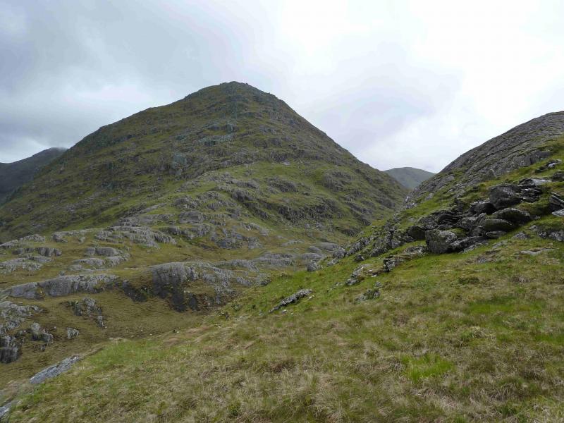
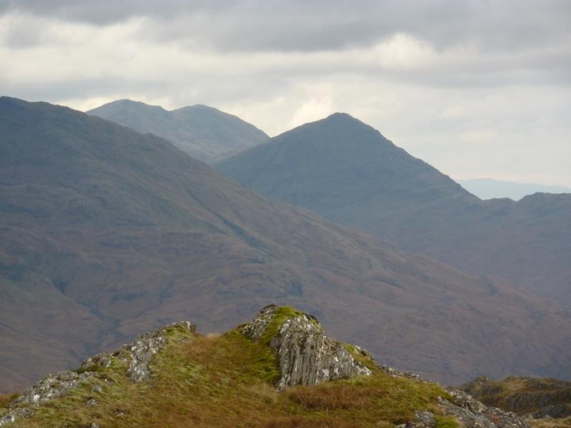
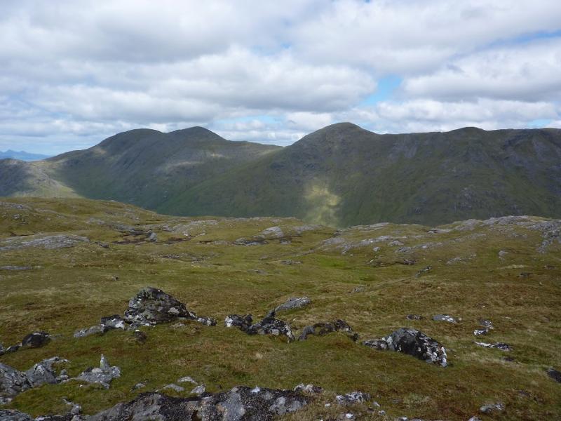
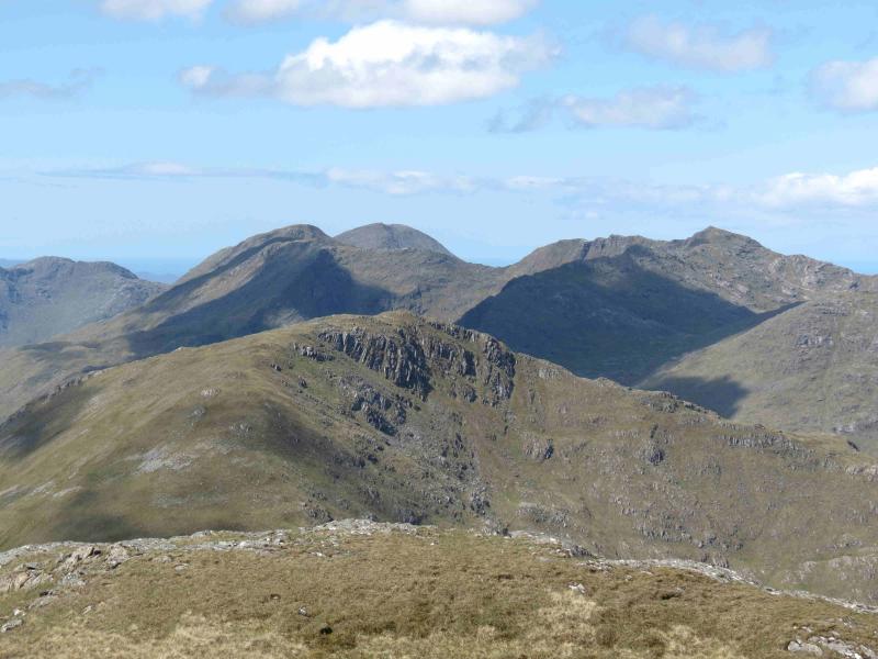
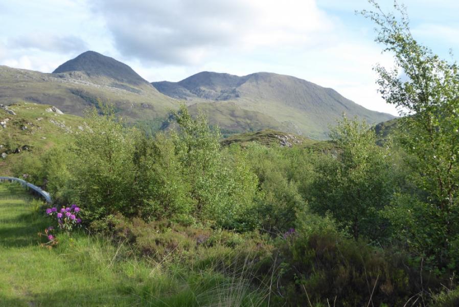
Rois-bheinn Range from Inverailort
Rois-bheinn Range from Inverailort
Start/Finish
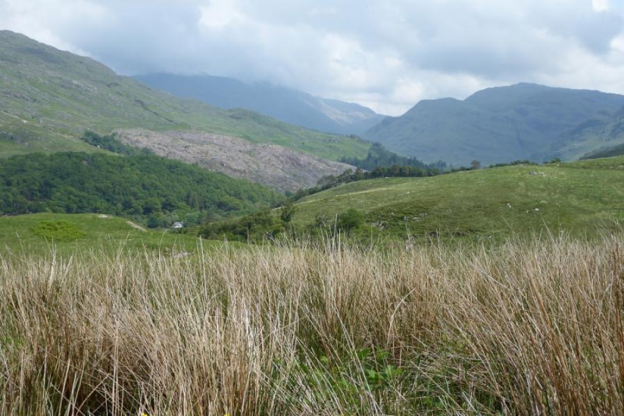
Inverailort. Turn left off the A 830, Fort William to Mallaig road at Lochailort. Turn in left after about 500 m and park in front of a stone wall with large gates where there is an access notice. Do not block the main gate which is in constant use. There is only enough space for one car so if you arrive second, park back on the road near to the A 830 junction.
Distance/Time
15 km . Approx 9 hours.
Peaks
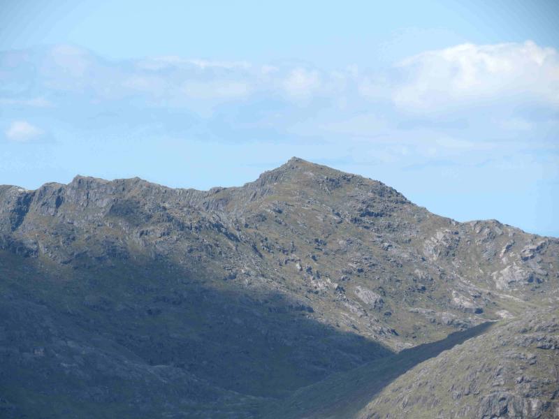
Druim Fiaclach, 869 m, NM 791 792.
Sgurr na Ba Glaise, 874 m, NM 770 777.
Rois-bheinn, 882 m, NM 756 778.
An Stac, 885 m, NM 763 792. OS sheet 40.
Introduction
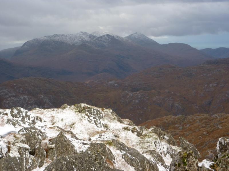
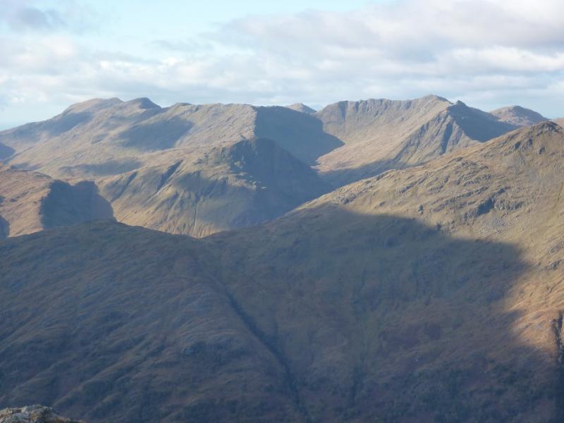
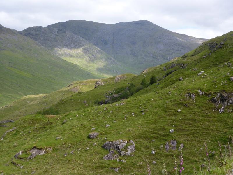
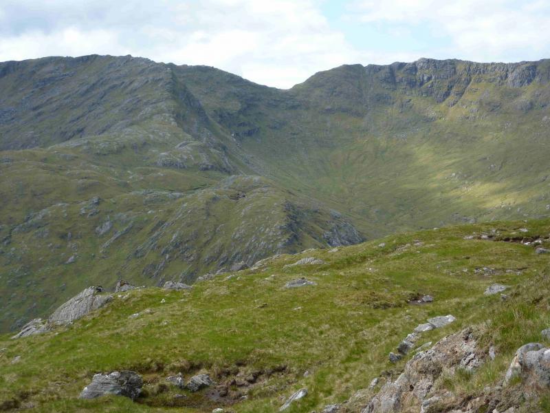
A quite strenuous walk over 3 Corbetts and a “near Corbett””, mainly on stony grass, which gives excellent views of the surrounding mountains plus views across the sea to Rum and Eigg. It is worth saving these mountains for a good day. Navigation will be testing in misty conditions especially between Bealach an Fhiona and the bealach below An Stac.
Route
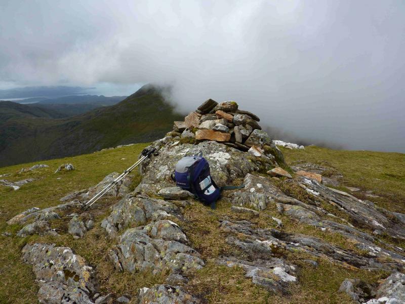
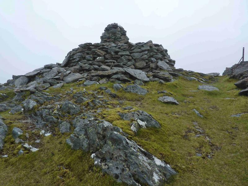
(1) Just around the corner from the access notice is a sign for Druim Fiaclach which takes one down a lane towards some cottages. Just before they are reached is another sign pointing left along a grassy track. Follow this, in a straight line, through some gates, until it becomes a path which picks its way through the shallow bealach S of Tom Odhar. Both the track and path can be boggy. Higher up the path improves and crosses a track. When the path finally ends and an ATV track takes over there are two choices. Either follow the ATV track up the glen of the Allt a' Bhuidhe or go left and follow the track in the other direction to the Allt a' Bhuidhe and cross by the bridge. The track up the glen is quite boggy but does go a long way. However, one may find a more reasonable path closer to the burn. The burn can be crossed higher up (care needed when in spate) to follow a tributary, on reasonable ground, up into a grassy corrie then on to the lochan just to the N of Druim Fiaclach. If crossing the burn by the bridge then slant roughly SE across the flank of Beinn Coire nan Gall to reach the same lochan. From here, climb S up the craggy (no difficulties) N ridge to reach the pointed top with its small cairn which is the summit of Druim Fiaclach, 869 m. This is not a Corbett as it lacks enough relative height on all sides but it comes close!
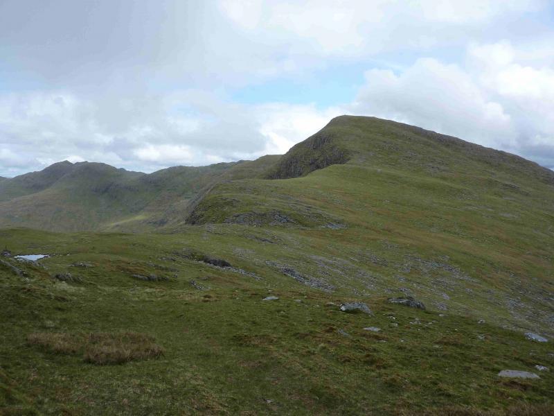
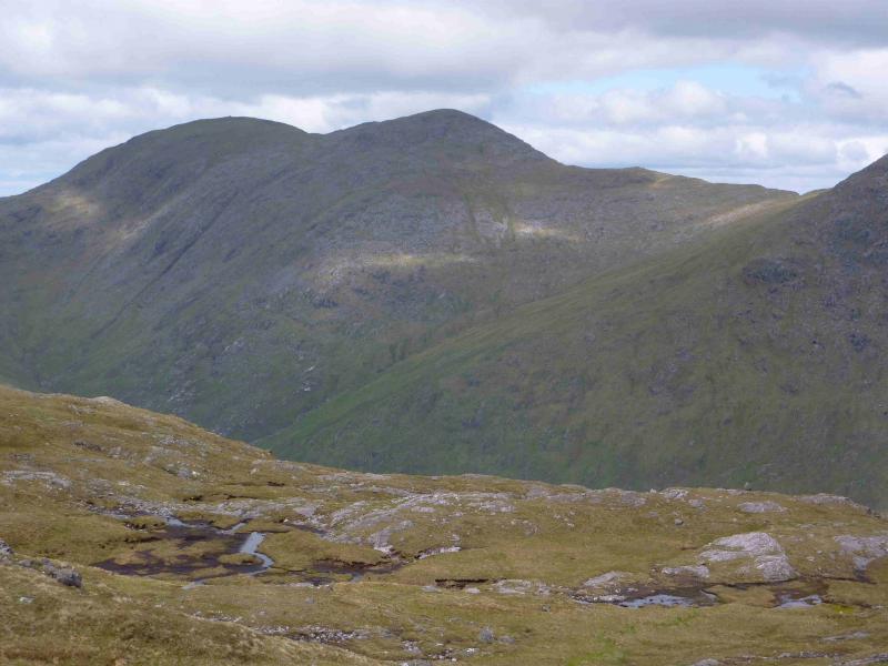
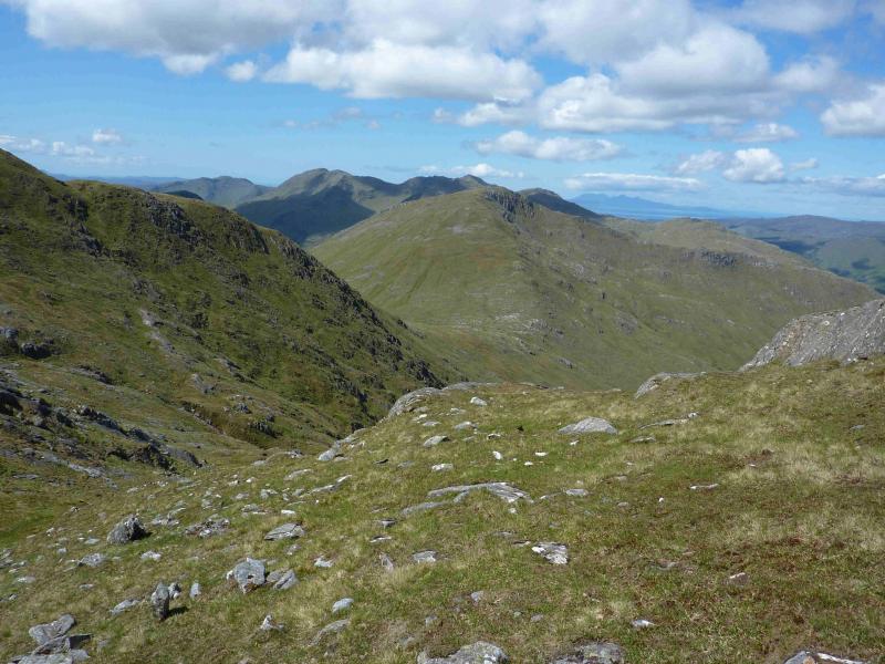
(2) Descend SW along the narrow grassy/rocky undulating ridge to reach a small bealach where there is a solitary stone “post” from which there are fine views of Croit Bheinn. Continue S along the undulating ridge to reach a small lochan on the ridge of An t-slat-bheinn, passing other small lochans as well. The ridge now turns WSW and there is a fairly distinctive footpath. Continue along the still undulating ridge for about 2 km, crossing an obvious top about halfway, before a longer climb leads to the medium cairn which is the summit of Sgurr na Ba Glaise, 874 m.
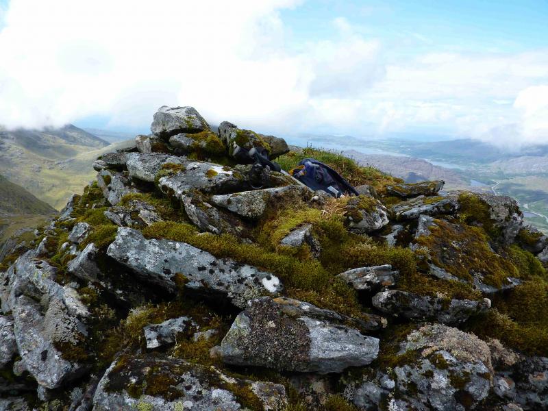
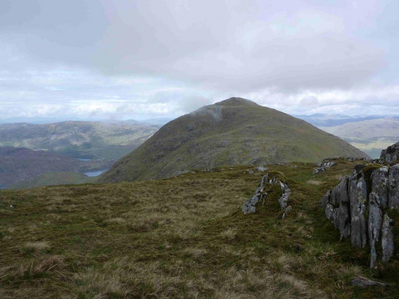
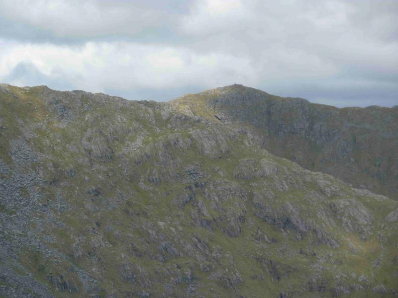
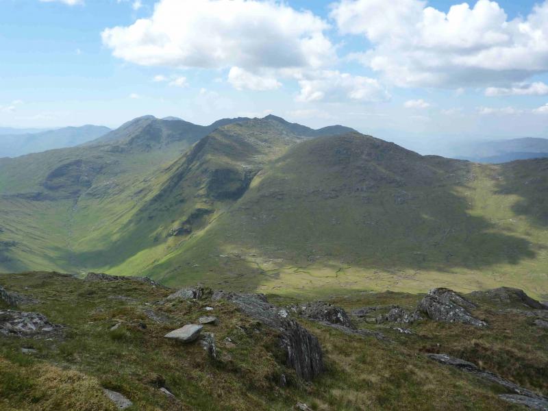
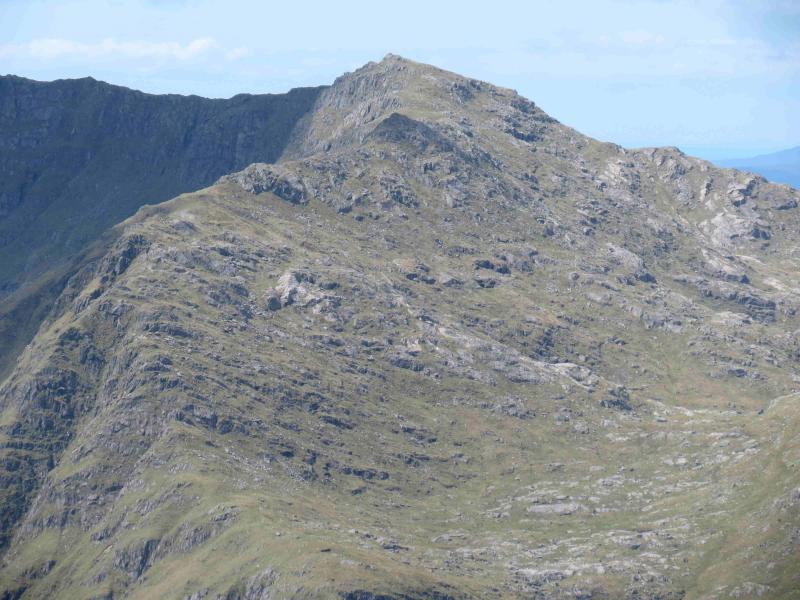
(3) Descend steeply NW, still on the path, to the Bealach an Fhiona then ascend the other side to reach the remains of an old stone wall which leads up, with a path either side, to a medium cairn which is the eastern, and higher, summit of Rois-bheinn, 882. Note that there is no longer a trig point here. The wall may be followed for another 700 m, across a dip 50 m deep, to reach the western summit where there is a huge cairn and which is the better viewpoint.
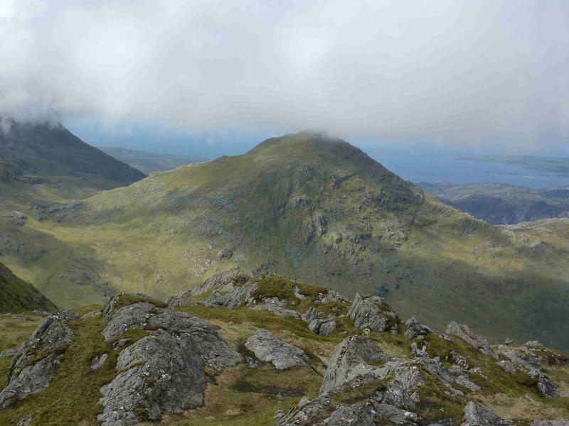
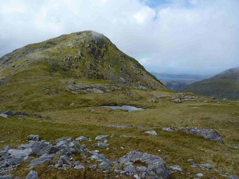
(4) Retrace along the wall to above the Bealach an Fhiona then descend steeply NNW, mainly on grass, still following the wall which is now more broken. This descent needs care when the grass is wet. The wall does not actually go into the bealach below An Stac. It gradually drifts left towards NW so when a lochan, on the left, is passed, head NE until the lower slopes of An Stac are reached. Ascend N, with no path, weaving easily around any rocky obstacles to eventually reach a small cairn perched on an outcrop which is the summit of An Stac, 814 m.
(5) Descend N, on the obvious crest, following a faint path which weaves through the rocky sections to eventually reach a double grassy bealach below Seann Chruach. Either descend NE to the glen and pick up the outward ATV track or continue NNE over Seann Chruach then NE to Pt 322 then down to the outward path. Do not continue N and attempt to descend through the wood above Inverailort. This was mainly silver birch trees but is now being rapidly colonised by rhododendrons creating dense, almost impenetrable woodland. The hillside is also steep and boggy with several hidden crags.
Notes
(a) This walk took place on 31st May, 2011.
Photos - Hover over photo for caption. Click on to enlarge. Click on again to reduce.