Get Lost Mountaineering
You are here: Scotland » 10a Morvern, Sunart, Ardgour and Moidart » Loch Linnhe to Loch Shiel
Beinn na h-Uamha & Sgurr a' Chaorainn
Beinn na h-Uamha & Sgurr a' Chaorainn from start of Glen Scaddle
Start/Finish
Entrance to Glen Scaddle, where there is a gravel parking area, on the A881 on the W side of Loch Linnhe about 6 km N of the Corran ferry.
Distance/Time
36 km (21 km can be cycled). Approx 9 hours if bicycle used.
Peaks
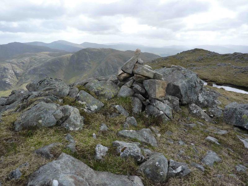
Beinn na h-Uamha, 762 m, NM 917 664.
Sgurr a’ Chaorainn, 761 m, NM 895 662. OS sheets 40 & 41.
Introduction
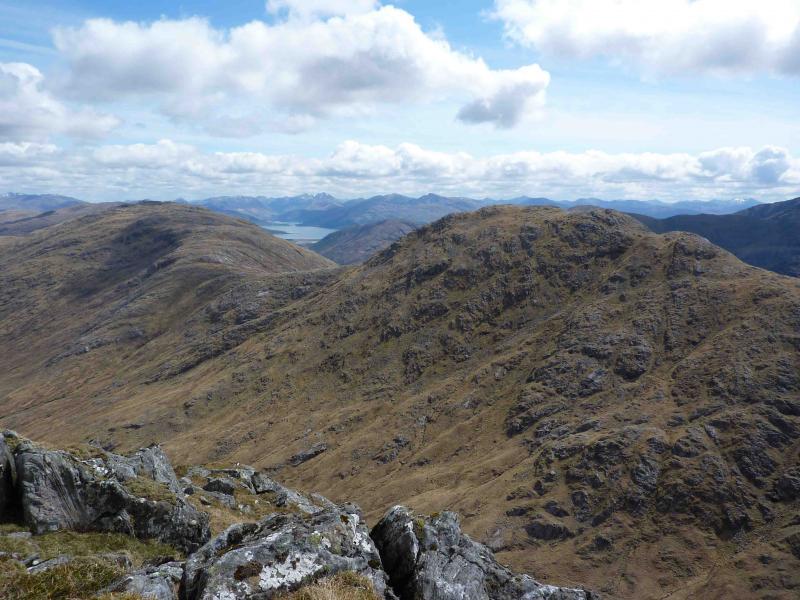
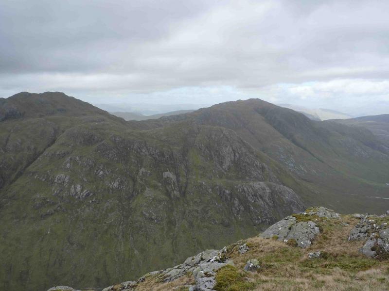
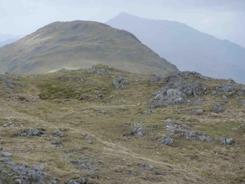
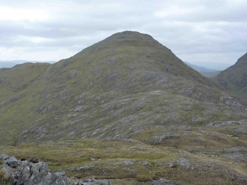
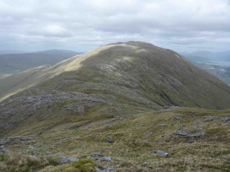
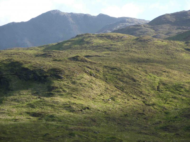
These two peaks are virtually the same height with Beinn na-h Uamha being the lowest Corbett and Sgurr a’ Chaorainn being the second highest Graham. This is a tough day with little in the way of paths once Glen Scaddle is left. The river crossings are only easy in a dry spell. The views are excellent: virtually all the peaks W of Loch Linnhe plus many of those E of Loch Linnhe especially Ben Nevis and the Glencoe peaks.
Route
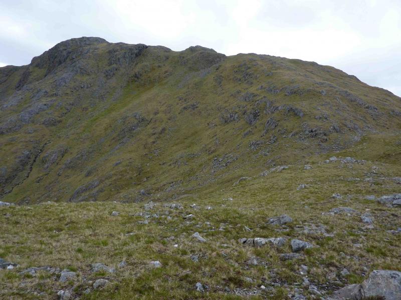
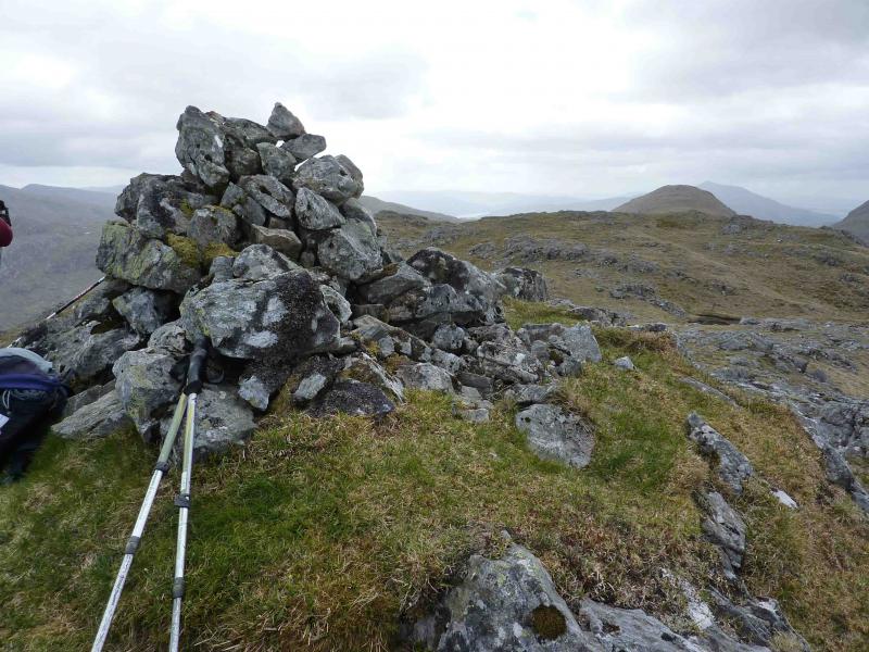
(1) Cycle along the track on the S side of the River Scaddle. This track may not be shown on your map but runs the full length of the glen. After passing two plantations, it enters the third and climbs about 50 m before eventually descending to a bridge across the River Scaddle after which it follows the N bank before becoming a path about 1 km past the large cottage at Tighnacomaire where bicycles should be left. Cross the river opposite the cottage and head SW, over wet ground initially, to gain the ridge of Meall nan Ruadhlag. Keep to the right, W, on this ridge to minimise the drops between the tops. In clear weather, the summit of Beinn na h-Uamha will be visible. At the top of the ridge, bear left, SE, up easy slopes to the large summit cairn of Beinn na h-Uamha, 762 m
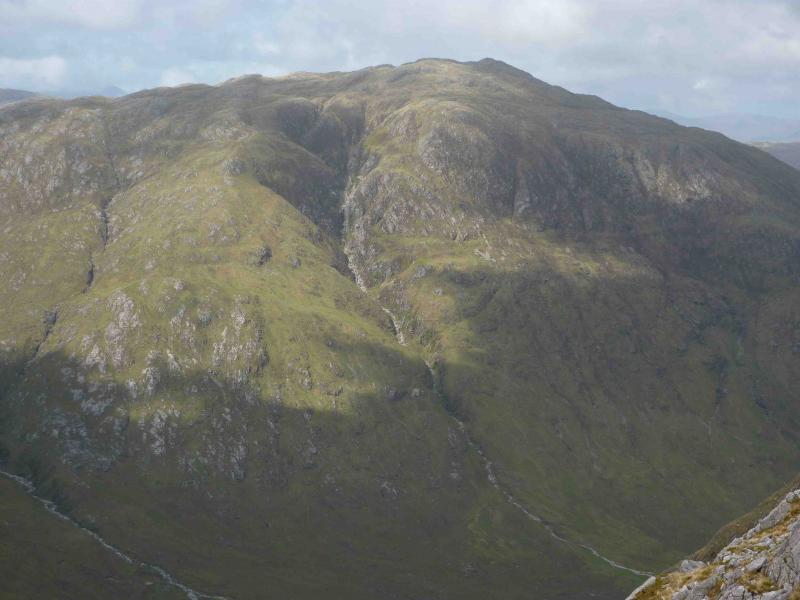
(2) Descend W on complex terrain, passing the lochan at NM 911 665, to reach a complex bealach. Ascend SW on steep grassy slopes to reach the medium summit cairn of Sgurr a’ Chaorainn, 761 m.
(3) Retrace about halfway down to the bealach keeping to the left to enter a wide grassy gully descending roughly N. The gully holds a burn lower down. Descend the gully to Gleann Mhic Phail and follow the main burn down looking for the start of the path shown on the map which is also fairly obvious on the ground. Note, however, that the path soon diverges from the burn. Follow the path to a grassy area close to the confluence of the burns where it becomes very faint. From the confluence, walk about 50 m upstream on the S bank of the burn coming down Gleann Olniche Sgoilte until the path on the opposite bank is seen. Cross easily in dry conditions and follow this path to join with another then reach a bridge over which is a path then a track which leads back to Tighnacomaire and the bicycle.
Notes
(a) This walk took place on 2nd June, 2010.
(b) There is a shorter route to these hills from Glen Gour but this involves crossing the River Gour so is only possible in a dry spell.
(c) It is also possible to access these hills from the Strontian side by parking at Ariundle then walking, or cycling, up the track towards the lead mines. This route does not involve any river crossings.
Photos - Hover over photo for caption. Click on to enlarge. Click on again to reduce.