Get Lost Mountaineering
You are here: Scotland » 01 South of Oban to Stirling and Fife » Ben Lomond, Crianlarich, Balquidder and Trossachs
Ben More & Stob Binnein Horseshoe
Ben More & Stob Binnein Horseshoe from the east
Start/Finish
Lay-by slightly to W of stone walled bridge over Allt Coire Chaorach on the A85, Crianlarich to Lochearnhead road, at NN 456 275.
Distance/Time
16 km Approx 8 hours
Peaks
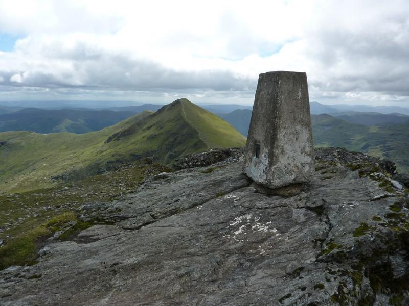
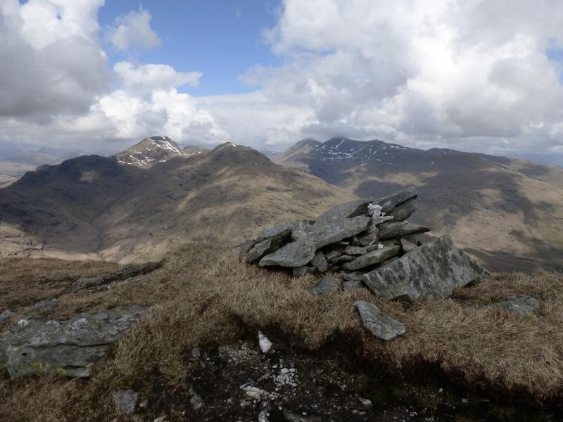
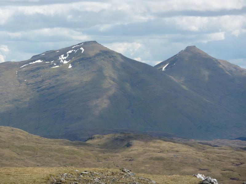
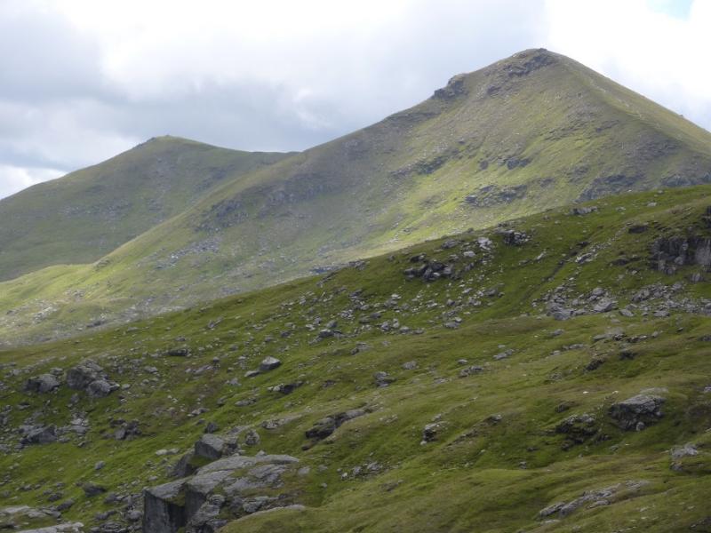
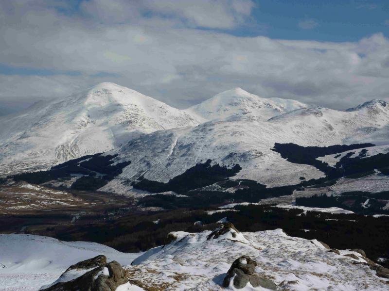
Ben More, 1174 m, NN 432 244.
Stob Binnein, 1165 m, NN 434 227.
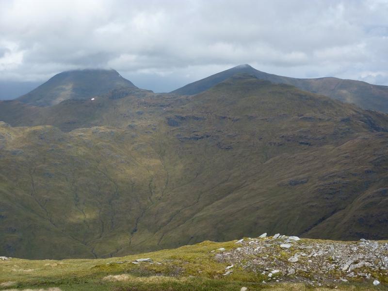
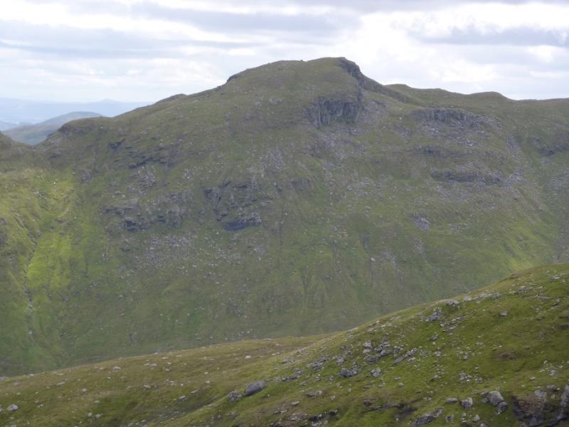
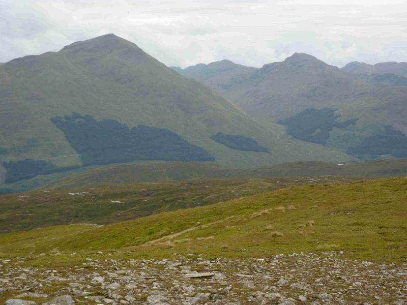
Stob Coire an Lochain, 1068 m, NN 438 220.
Meall na Dige, 966 m, NN 450 225. OS sheets 51.
Introduction
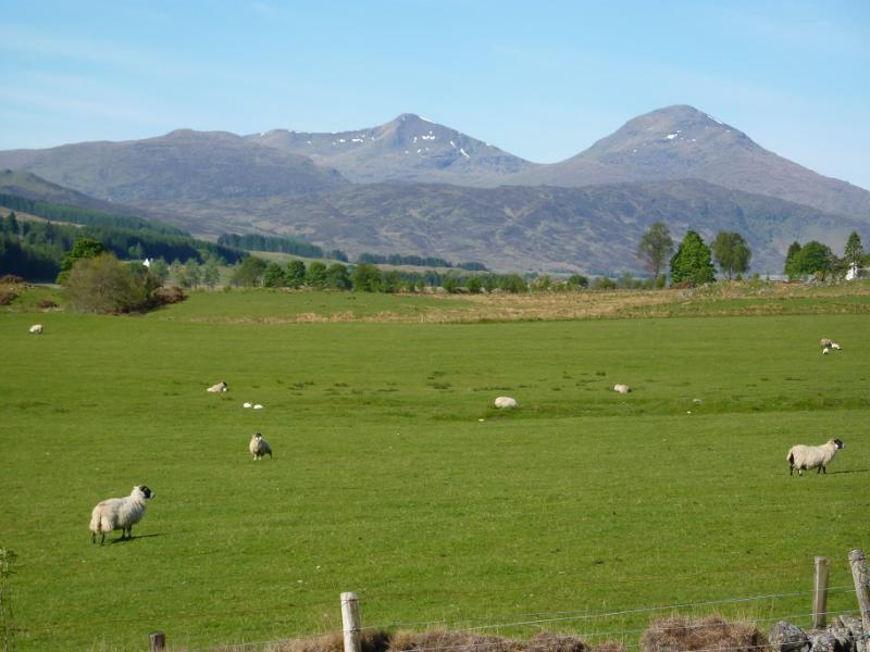
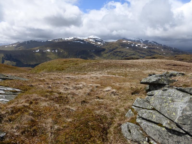
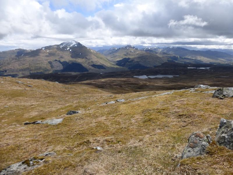
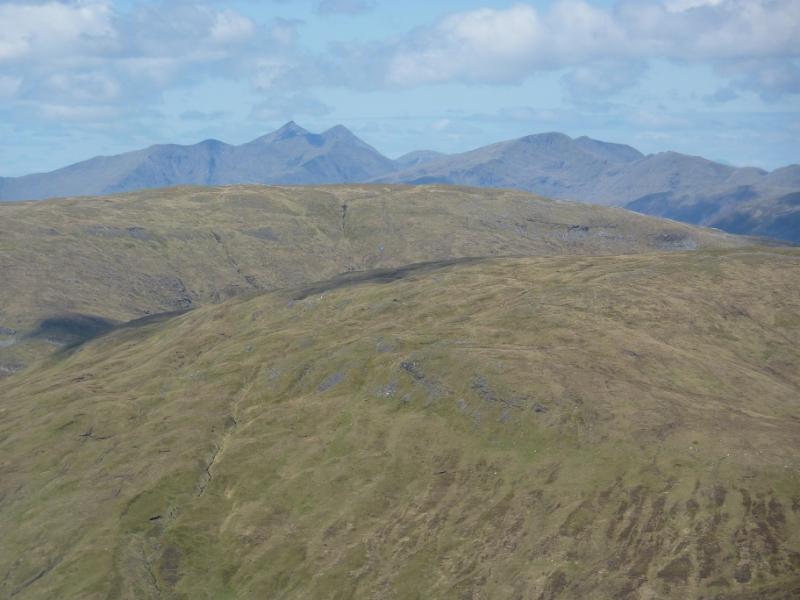
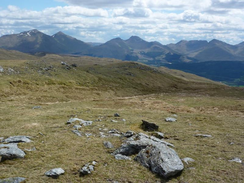
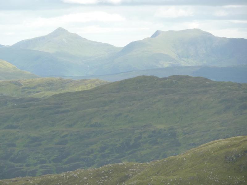
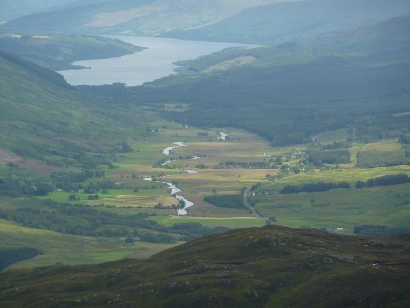
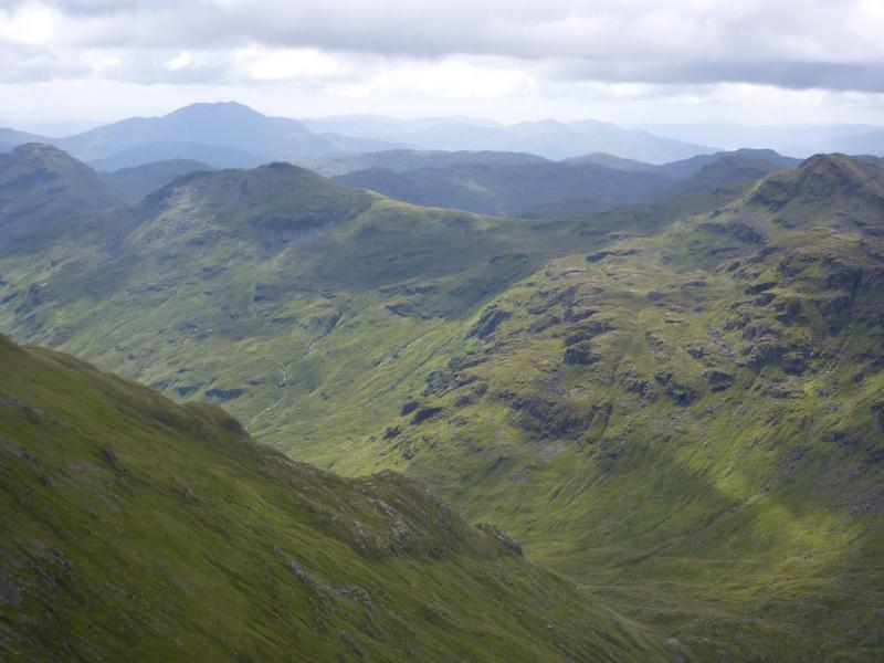
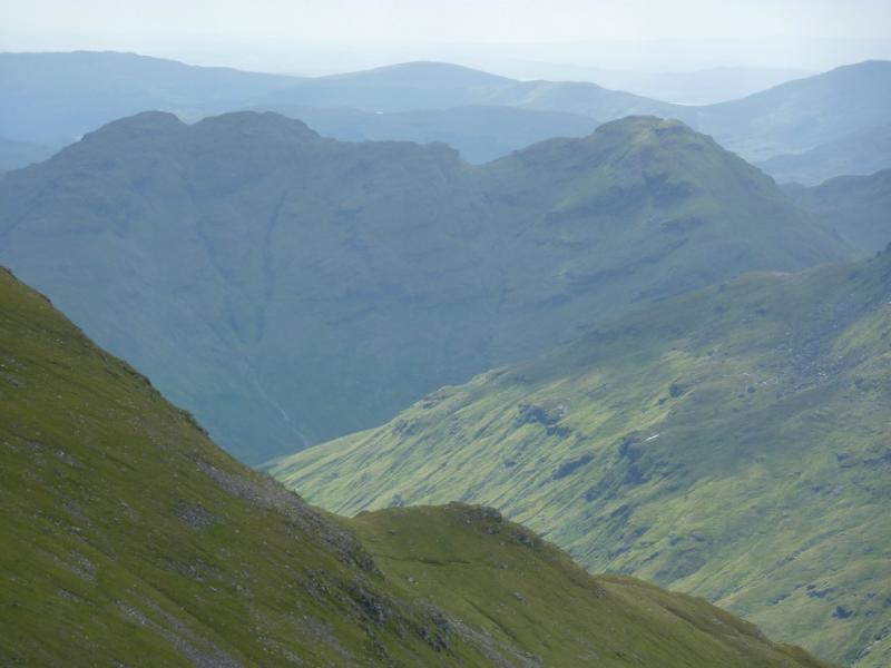
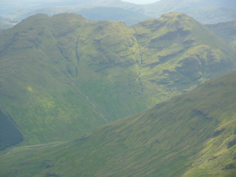
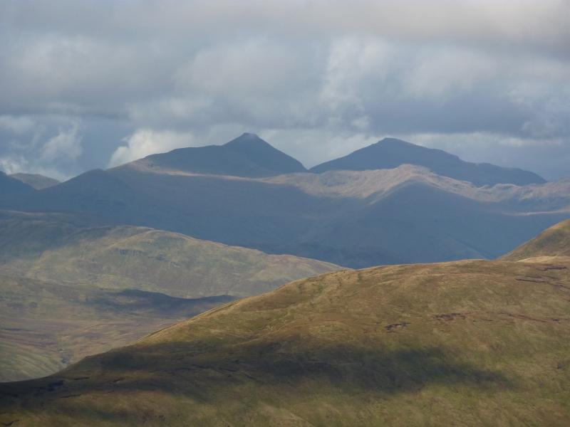
This is the only circular route which takes in all these tops without any major back tracking. The route is pathless and rough in places but there are no difficulties although the only burn crossing may need to be done further upstream in spate conditions. It should be noted that the route given in the SMC Munros book which starts up a “track” just to the east of the Allt Coire Chaorach is now considerably overgrown and, eventually, leads to the track used in the route below so there is little point in using this old route. There are excellent views in all directions from the summits.
Route
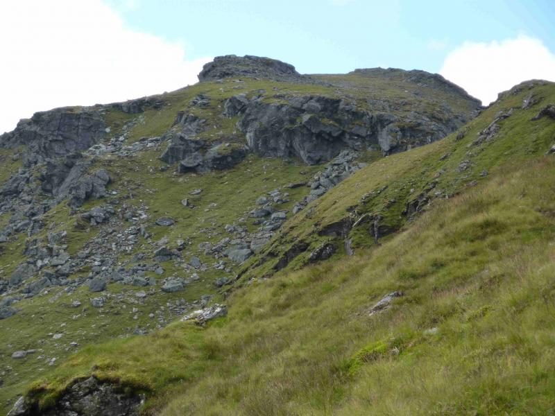
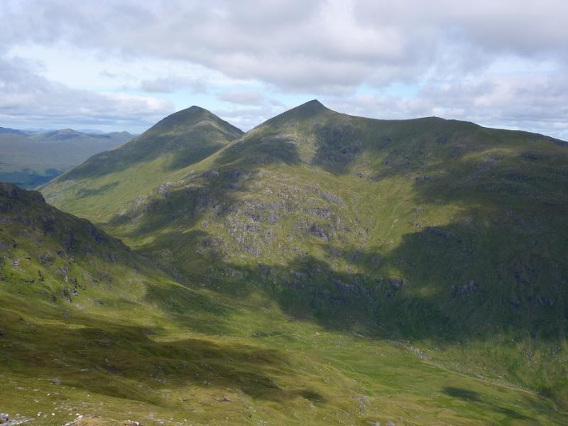
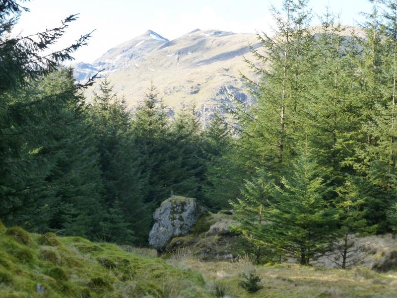
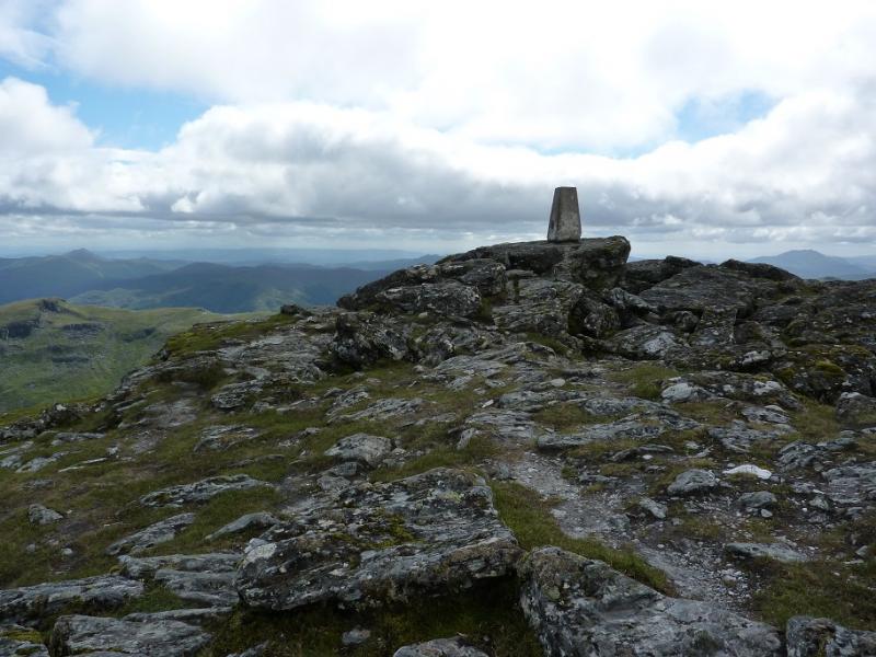
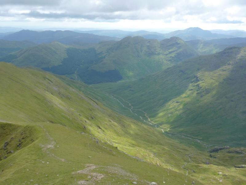
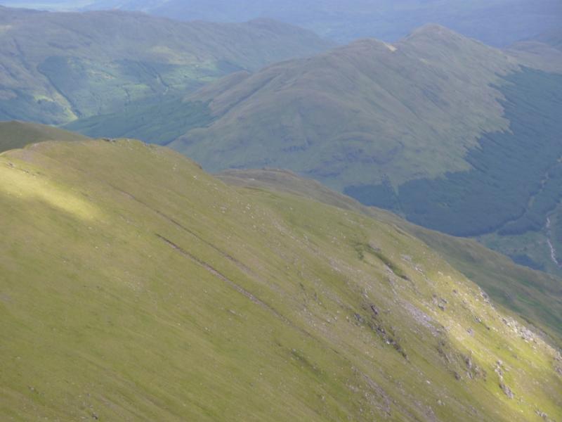
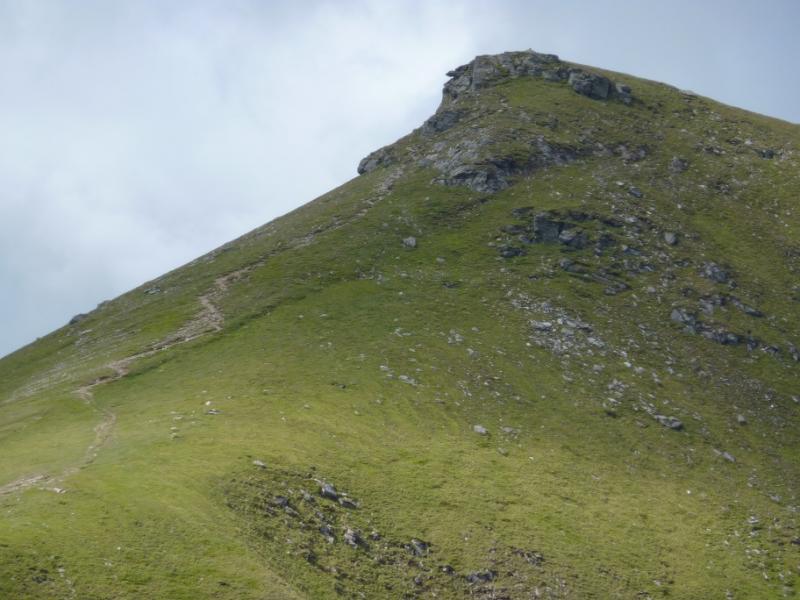
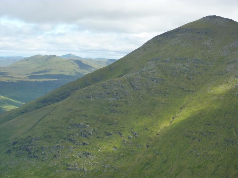
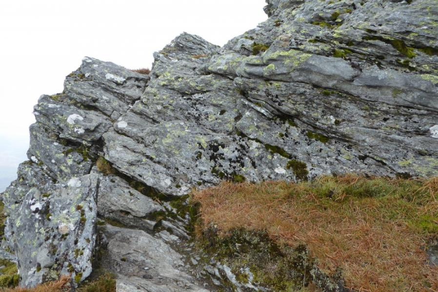
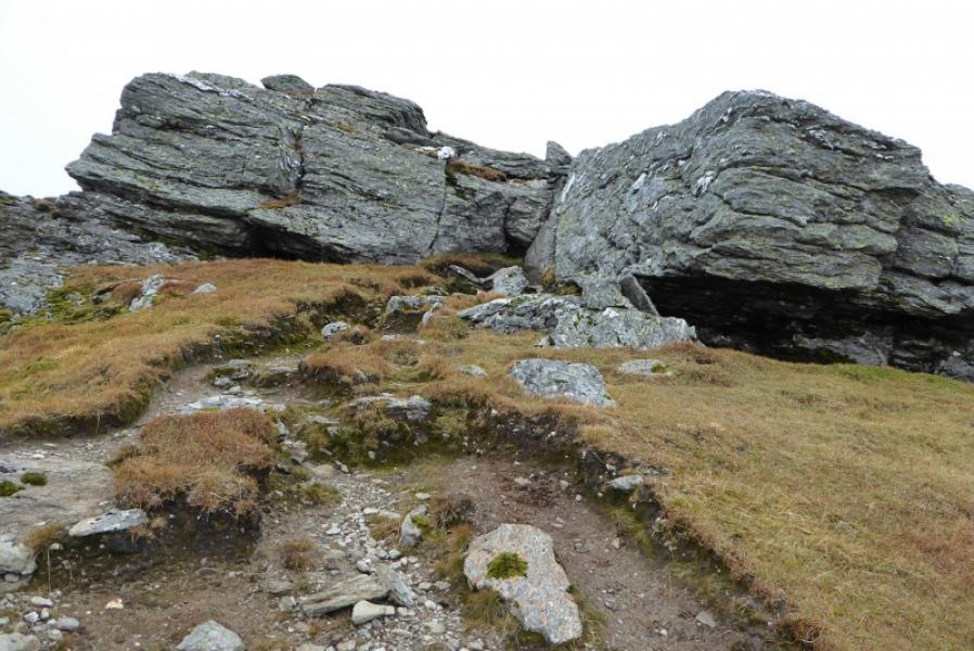
(1) From the lay-by, walk W along the A85 for a few hundred metres to reach an obvious gravel track, very wide where it meets the road, which initially climbs E above the road before zig-zagging up. Follow it, generally S but it does zig-zag, until a narrower track goes off right, at right angles, to the main track. There are two signs here saying “open hill access”. Follow this good track, steeply at first, to the edge of the forest where it becomes an ATV track after a stream. Cross the stream, which should not be a problem even in spate, and head up its far bank shadowing the edge of the forest. Aim for a stile on a fence some distance ahead. An ATV track can be followed as one gets closer. Cross the fence and follow it up on to the NE ridge of Ben More where there is another stile. Do not cross this stile. Instead follow the ridge upwards. Those wishing to join the ridge lower down should, on leaving the forest, contour around to the ridge and ascend to the second stile referred to above. There is a path on the ridge above the second stile which becomes more distinct as height is gained. There are opportunities for scrambling but the path avoids all difficulties although it is steep in places. When the gradient eases, the small summit plateau is reached where there is a large cairn and a trig point about 20 m apart which mark the summit of Ben More, 1174 m, It is difficult to tell, on the ground, which point is the higher.
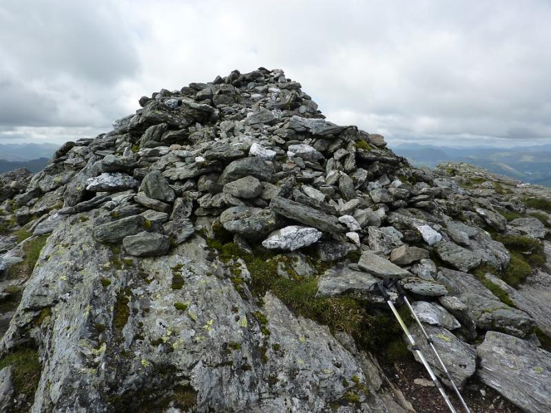
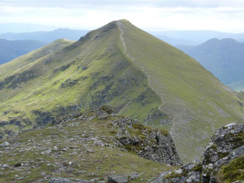
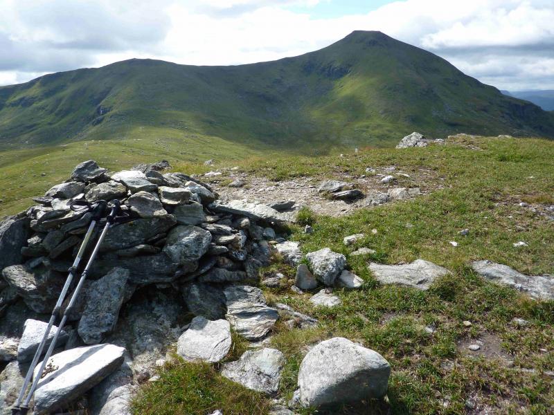
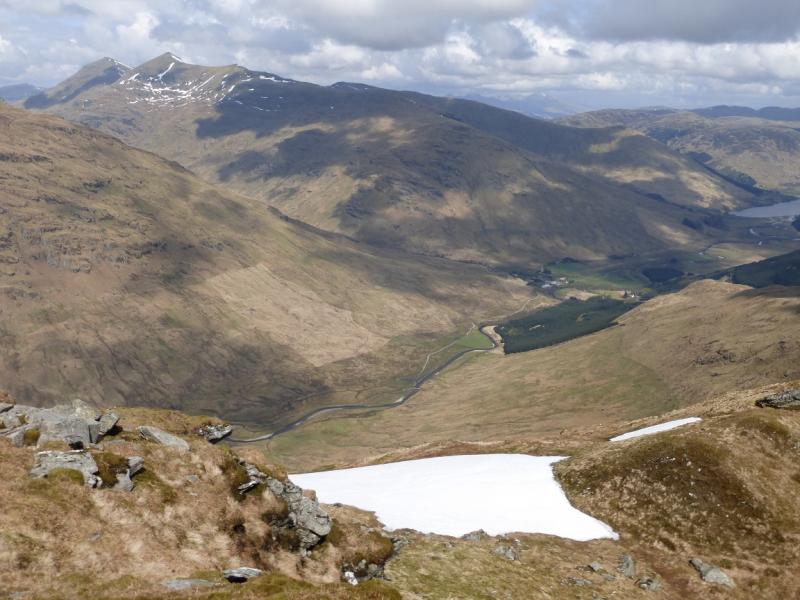
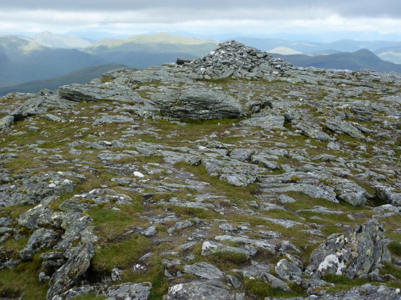
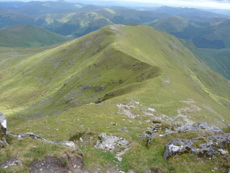
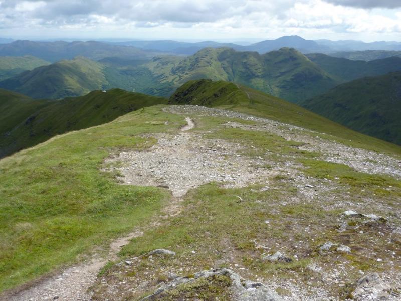
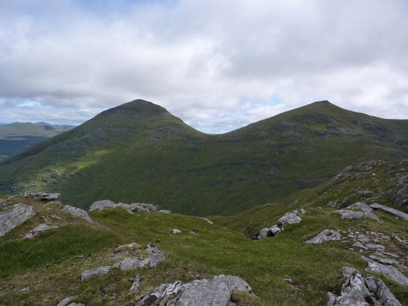
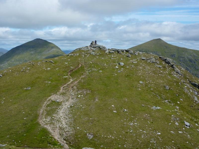
(2) Descend, roughly S, on a good path which leads down into the well defined bealach between Ben More and Stob Binnein. There is a short easy rock step, en route, which can easily be avoided by a short detour to the left, E. The good path continues up, steeply in places, before going between some rocks (no difficulties) to emerge on the summit plateau where there is a medium cairn which marks the summit of Stob Binnein, 1165 m.
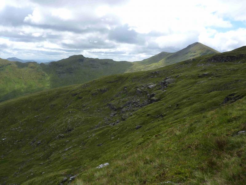
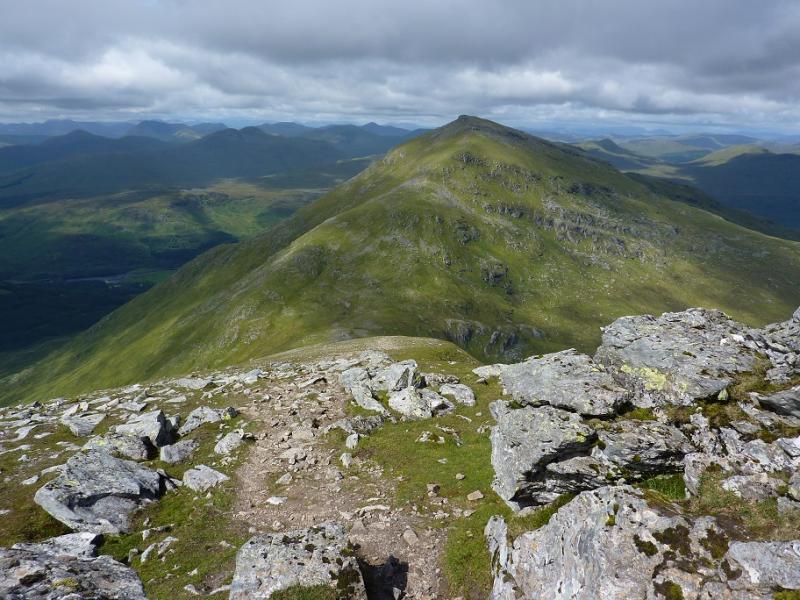
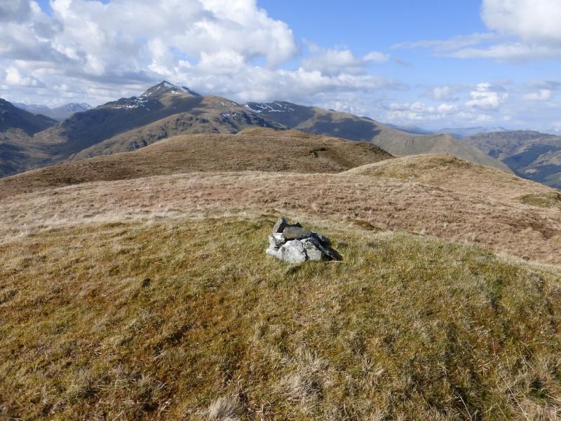
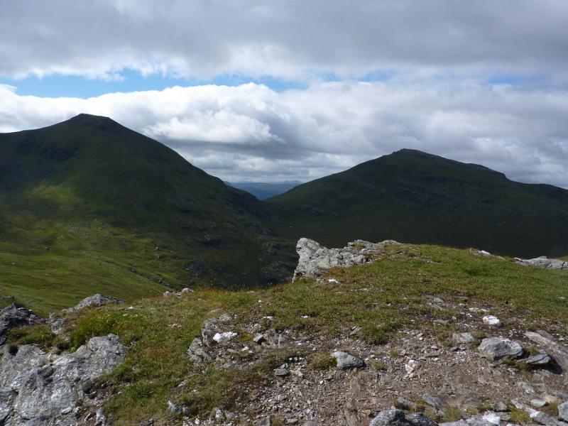
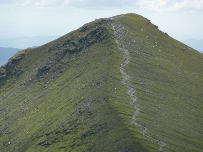
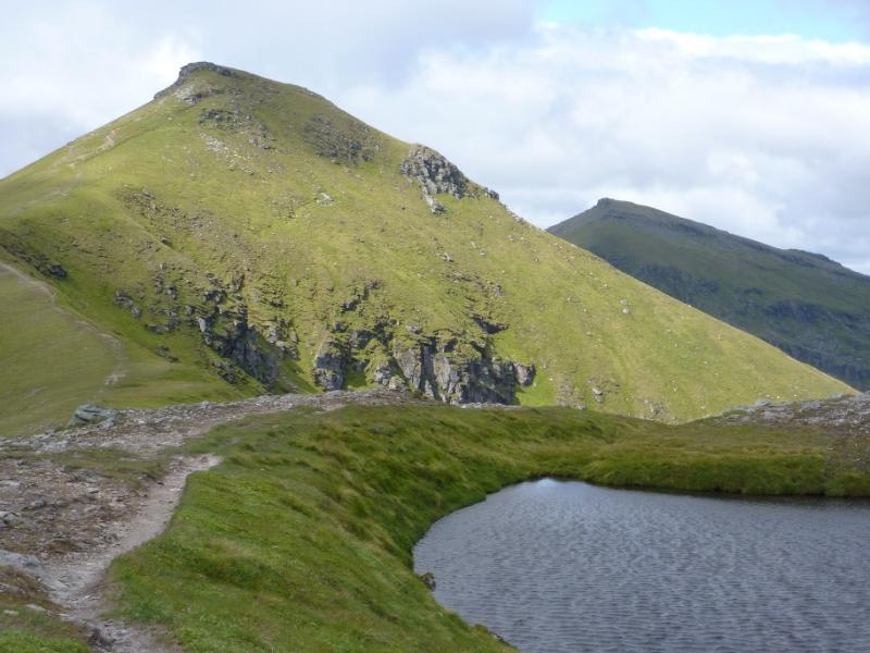
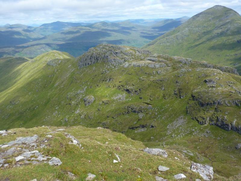
(3) Descend S from the summit, still on the good path and on a well defined ridge to reach a shallow bealach. A short ascent byond leads to the medium cairn which is the summit cairn of Stob Coire an Lochain, 1068 m.
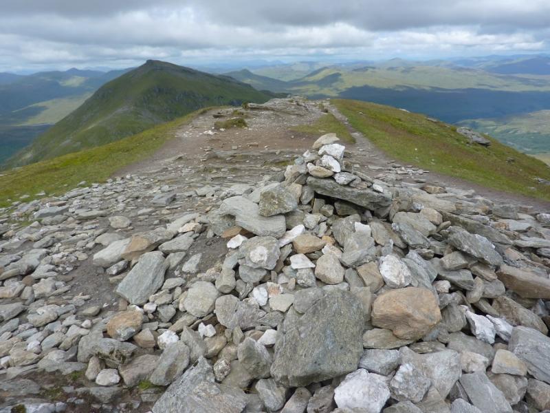
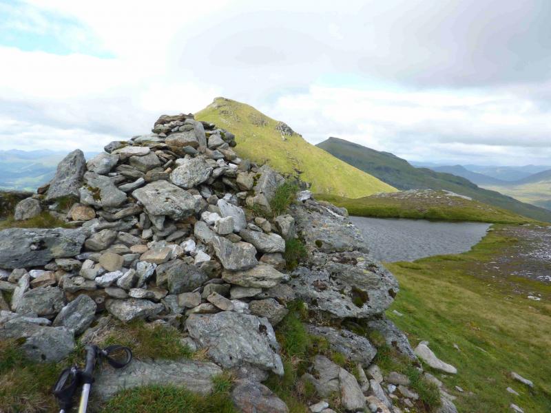
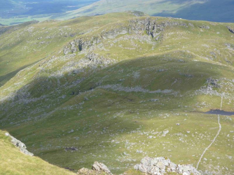
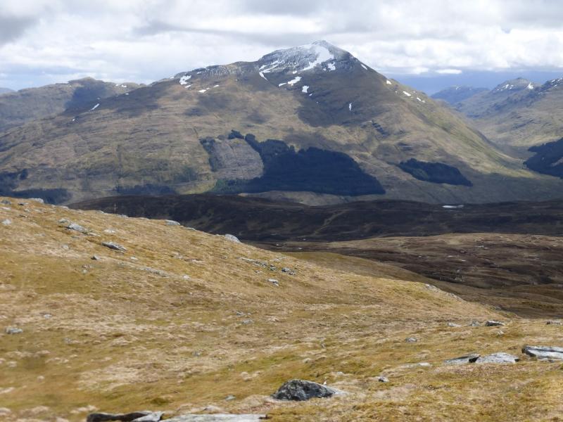
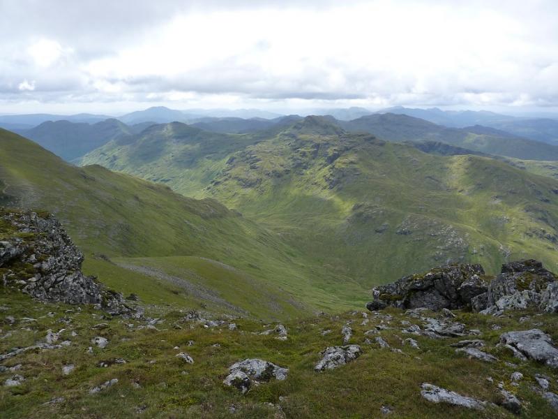
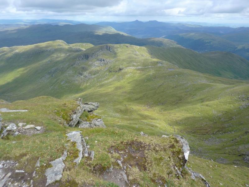
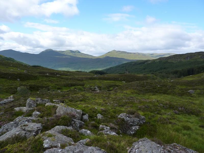
(4) Descend E along a ridge which becomes more defined lower down. There is a path but it is not easy to locate at the summit where the there are rocks at the top of the E ridge. In clear weather the route is obvious and one can see a wall lower down next to the path. Follow the path into the bealach, where there is a lochan, and up the other side. The path leads all the way, weaving safely through a craggy area, to the medium summit cairn of Meall na Dige, 966 m.
(5) Descend roughly N, over rough grass (no path), to reach the valley bottom. Cross the burn (aim to cross higher up in spate conditions) and head roughly NE to reach the fence of the first stile. Cross at the stile and follow the ATV track and burn of the outward route to the track which goes into the forest and leads back to the main track and the A85.
Notes
(a) This walk took place on 8th August, 2011.
(b) This route would be a very serious undertaking in winter conditions and ice axe and crampons would be essential.
(c) Some additional archive photos were added in August, 2021.
Photos - Hover over photo for caption. Click on to enlarge. Click on again to reduce.