Get Lost Mountaineering
You are here: Scotland » 09 Glen Roy to the Monadh Liath and Strathspey » Monadhliath & Corrieyairack
Gairbeinn & Corrieyairack Hill
Gairbeinn & Corrieyairack Hill from Melgrave ( W of Garva Bridge)
Start/Finish
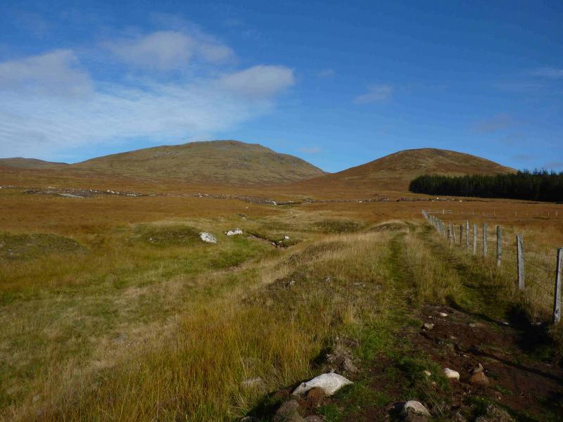
Melgrave is at the end of the public road about 4 miles W ofGarva Bridge (gate has to be opened) which is an old multiarch stone bridge about 6 miles down the minor road which runs east from Laggan Bridge on the A86 Spean Bridge to Newtonmore road. There is a “Road Closed” sign a few hundred metres before Melgrave at a bridge just before the end of the forest on the right. There are a few rough places to park near this bridge.
Distance/Time
15 km About 5 - 6 hours
Peaks
Gairbeinn, 896 m, NN 460 985.
Geal Charn, 876 m, NN 444 989.
Corrieyairack Hill, 891 m, NN 429 988. OS sheet 34.
Introduction
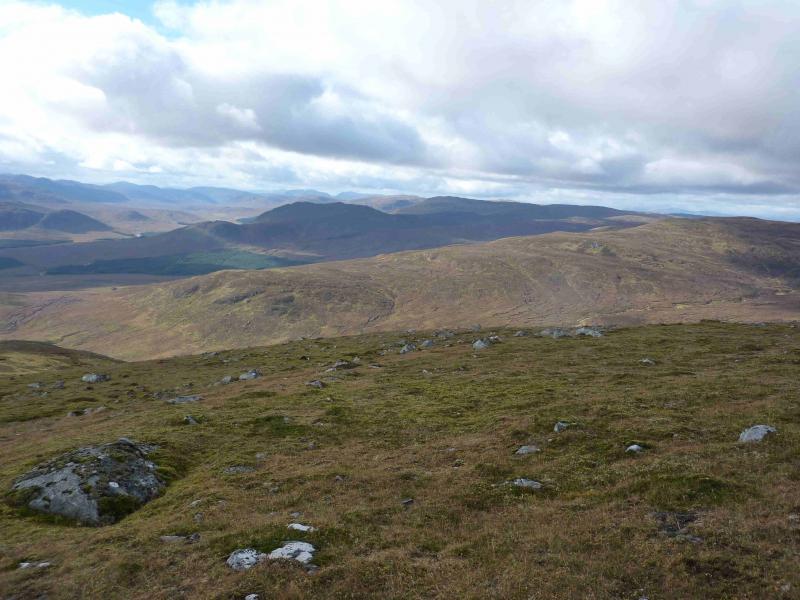
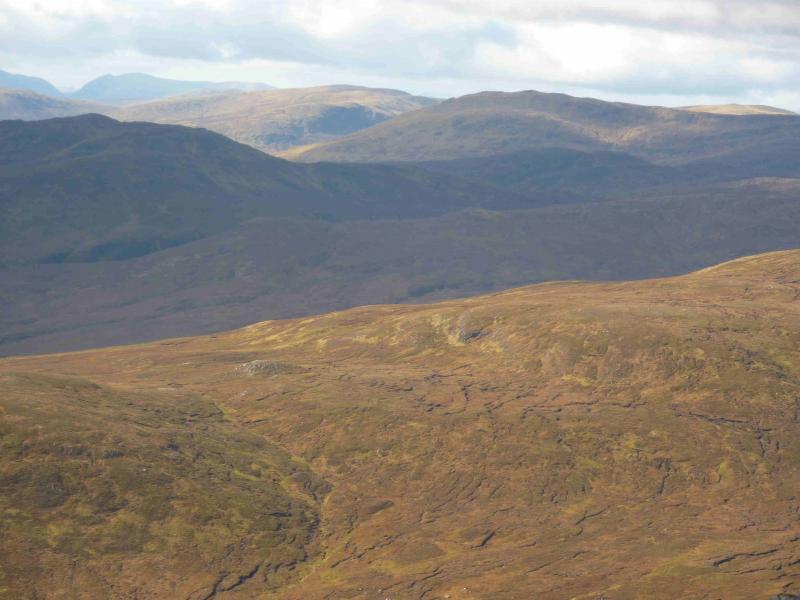
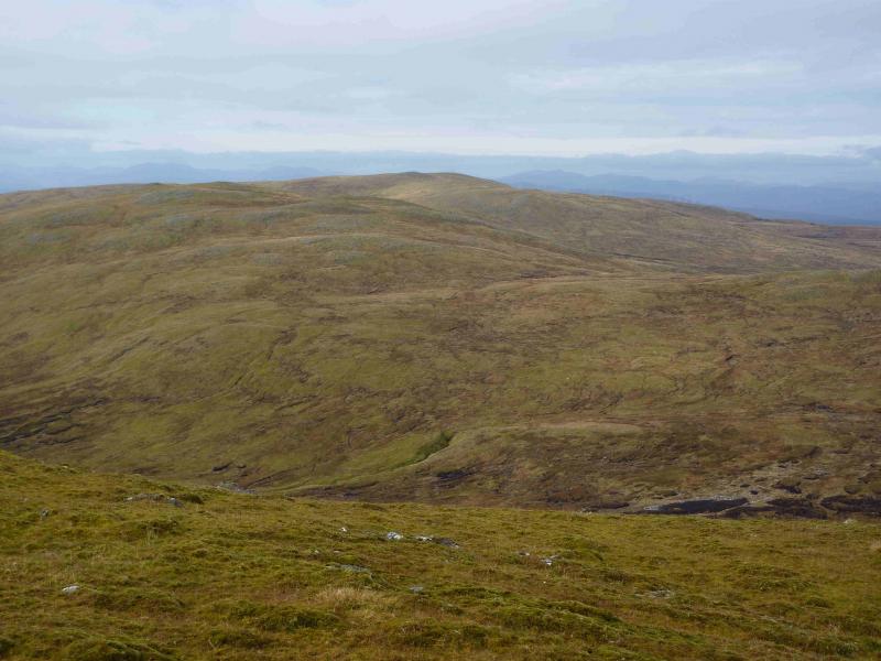
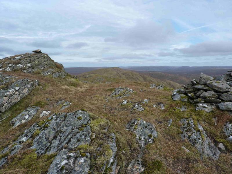
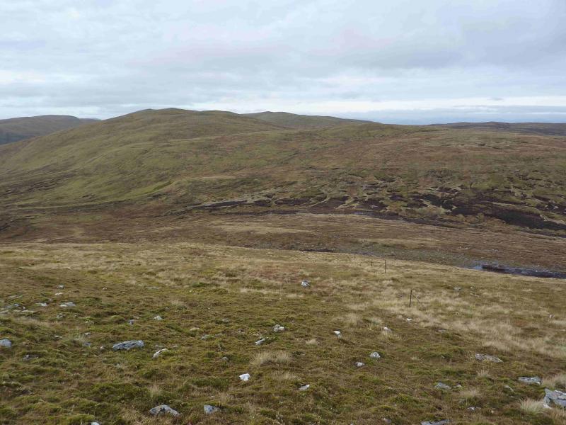
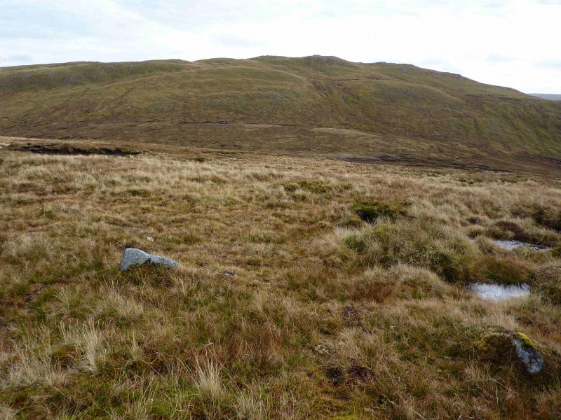
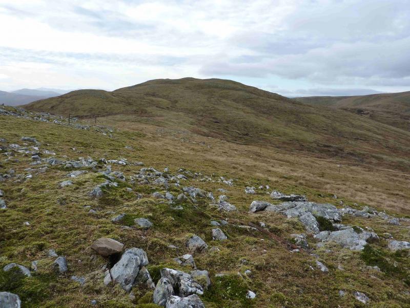
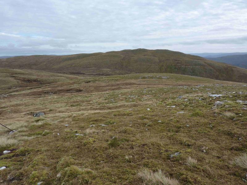
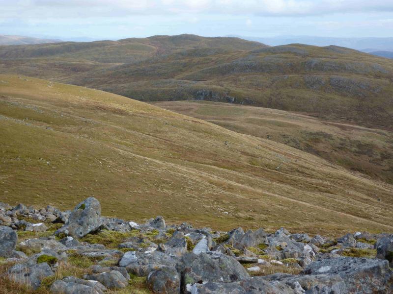
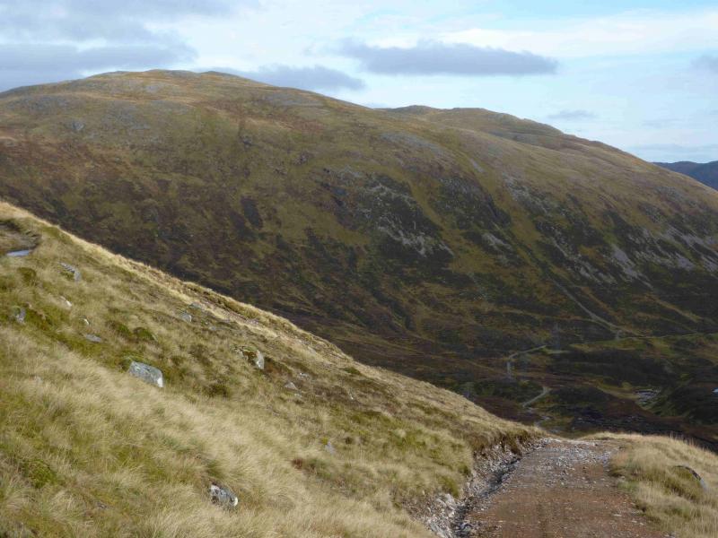
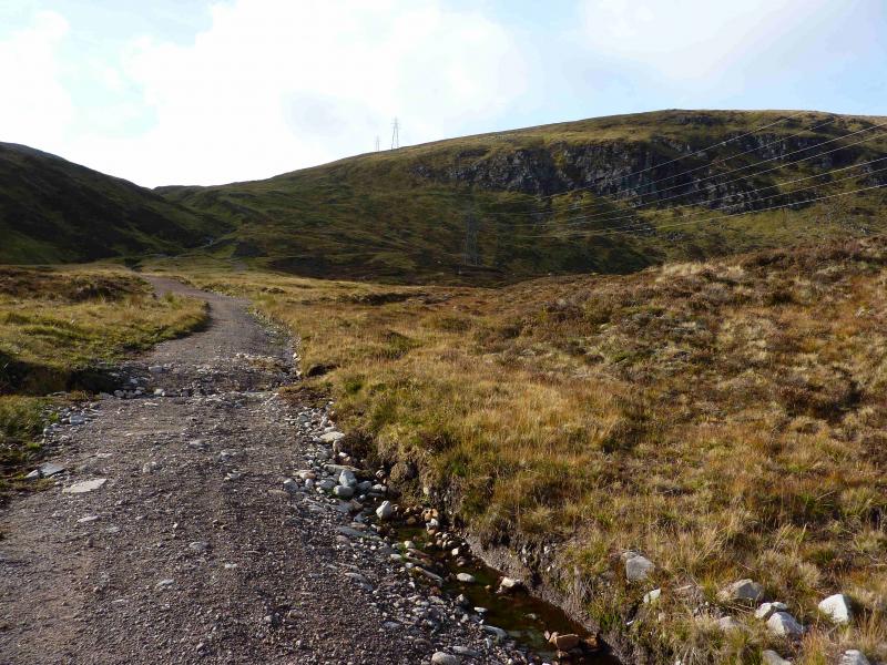
These are high moorland hills which gives an easy day with good views and a bit of history thrown in. In clear weather, there are good views towards neighbouring hills including the Creag Meagaidh range, Geal Charn in the Monadh Liath, Carn a' Chuilinn, Beinn a' Chaorainn, Beinn Teallach and even the Easains. The most noticeable peak, however, is the pointed triangle of Ben Tee to the W. Note that the peak between Gairbeinn and Corrieyairack Hill is called Geal Charn as is the Munro to the E of Gairbeinn! There is a large construction process ongoing before and in the Corrieyairack Pass but this does not impede the walk although it is visually unattractive. From Gairbeinn to Corrieyairack Hill there is a line of old fence posts which can be followed. A line of pylons runs from Melgrave up through the Corrieyairack Pass which can aid navigation.
Route
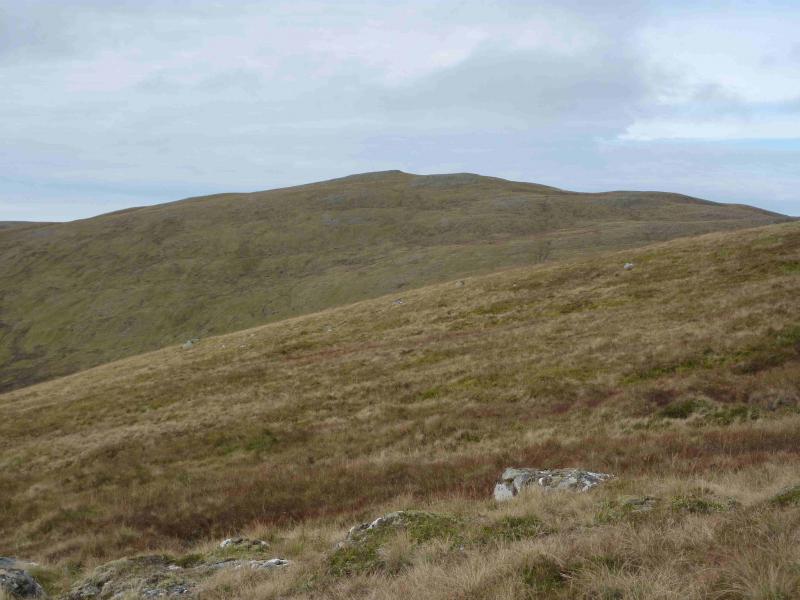
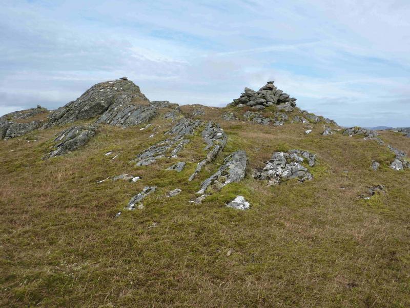
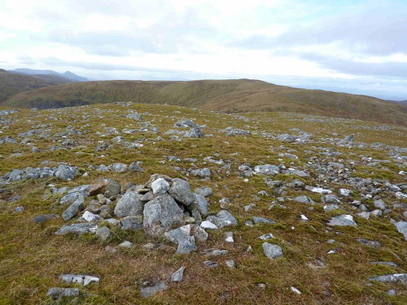
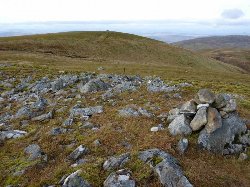
(1) Walk towards Melgrave. Just before the house, take the ATV track which goes R, N, to join the constructors track. Walk W along the track then strike NW across rough, but easy to cross, ground aiming for the bealach between Pt 586 and Gairbeinn. From the bealach, walk roughly N, perhaps drifting slightly left, W, where there is more of an obvious ridge line. Follow the ridge, with a path appearing as height is gained, up on to the summit crest to reach a medium cairn which seems to mark the summit of Gairbeinn, 896 m. However, a small outcrop about 5 m to the W seems slightly higher.
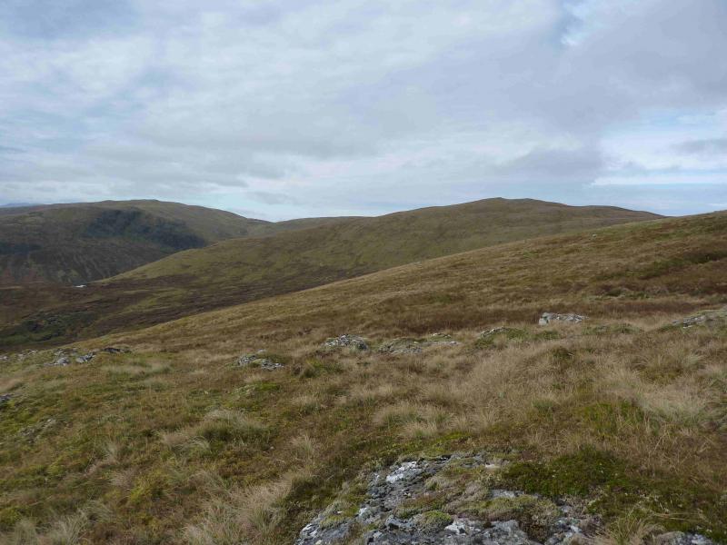
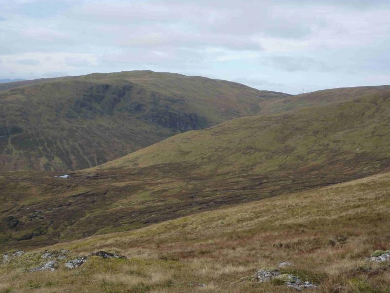
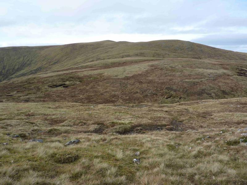
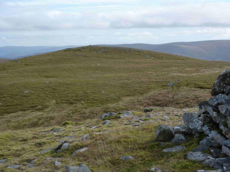
(2) Descend N then WNW to a peaty bealach. A line of old fence posts starts a short distance from the summit and is a useful guide. Continue following the fence posts up on to the NE ridge of Geal Charn where they turn and head mainly SW to pass close to the small cairn which marks the summit of Geal Charn, 876 m. Note the newly constructed reservoir, not shown on the 1989 map, which lies N of Lochan an Aonaich Odhair.
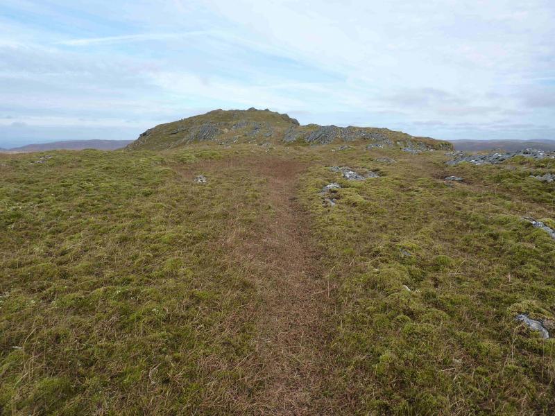
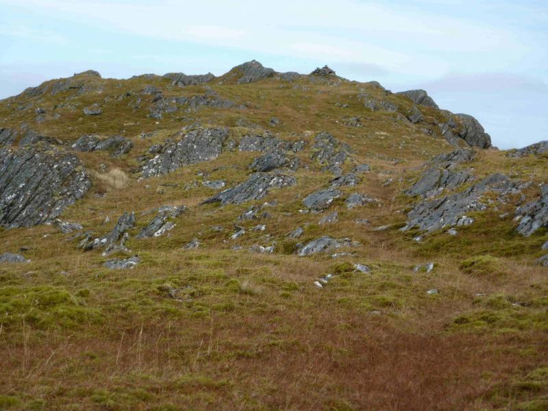
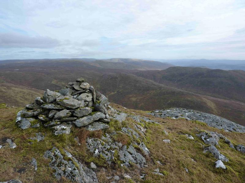
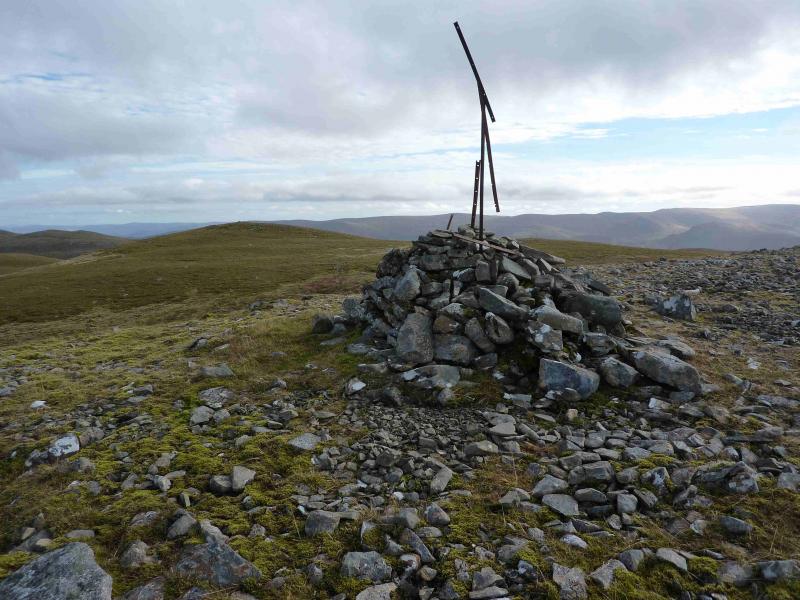
(3) Rejoin the line of fence posts and follow them down into a bealach and then into a shallower dip before ascending up on to the eastern end of the summit plateau. The fence posts go just to the right of the small cairn which is the SE top from where it is about 200 m NW across a sloping gap to the actual summit. A separate line of taller posts goes to the medium summit cairn, with a fence post stuck in it, which marks the summit of Corrieyairack Hill, 891 m.
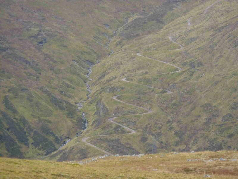
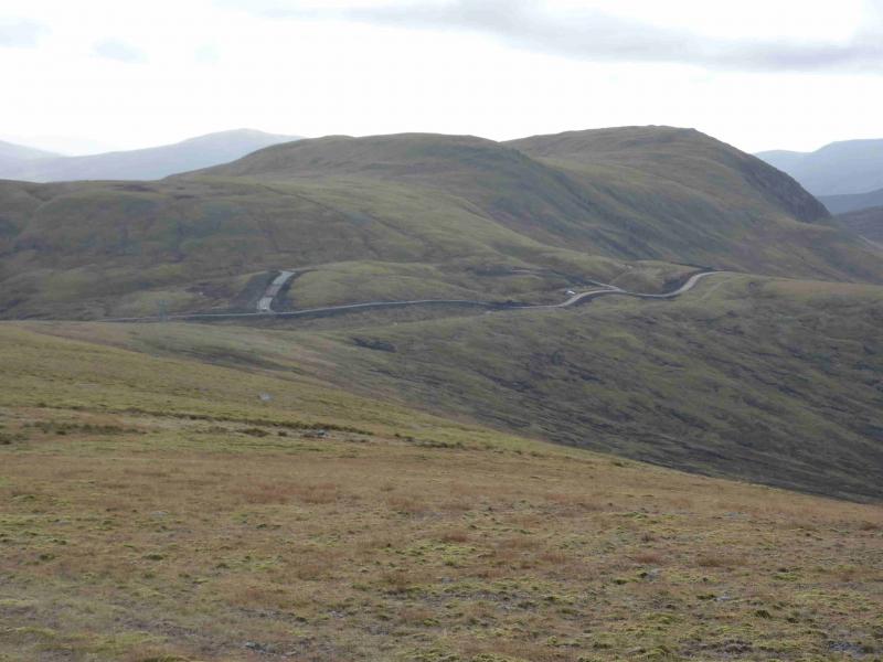
(4) From the summit, walk S, initially following the fence posts, but also on an ATV track. Follow this to the “hut” below the pylons which is just above the old military road which should not be confused with the contractors road which is more visible on the descent. Walk E down the military road then down the zig zags and continue back to Melgrave and the end of the public road. It is about 6 km back to Melgrave.
Notes
(a) This walk took place on 28th July, 2003, and 9th October, 2012.
Photos - Hover over photo for caption. Click on to enlarge. Click on again to reduce.