Get Lost Mountaineering
You are here: Scotland » 08 Cairngorms and Buchan » North East of Lecht Road
Mona Gowan & Morven
Mona Gowan & Morven from Glenfenzie on A939
Start/Finish
Parking area by bridge 200 m S of Glenfenzie on A939 Tomintoul to Ballater road at about NJ 312 027.
Distance/Time
18 km Approx 7 hours
Peaks
Mona Gowan, 749 m, NJ 336 058.
Morven, 872 m, NJ 377 040. OS sheet 37.
Introduction
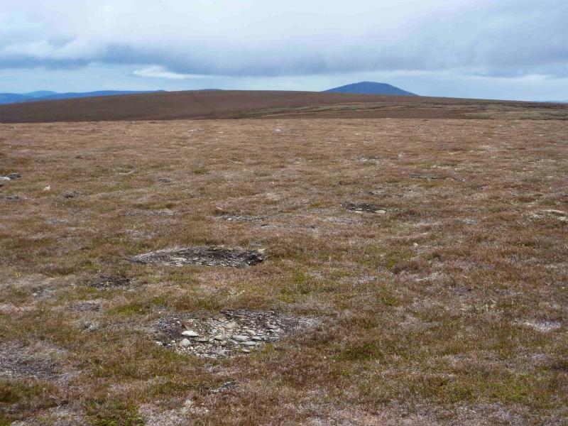
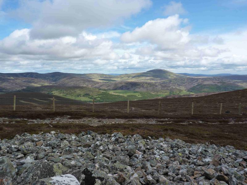
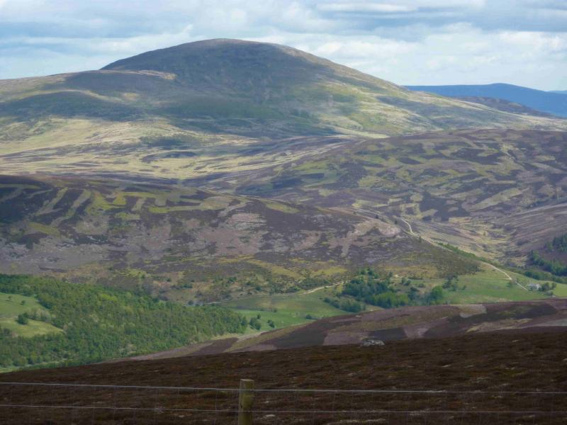
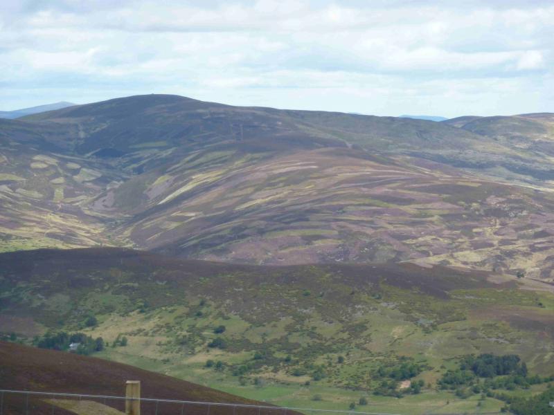
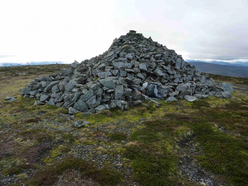
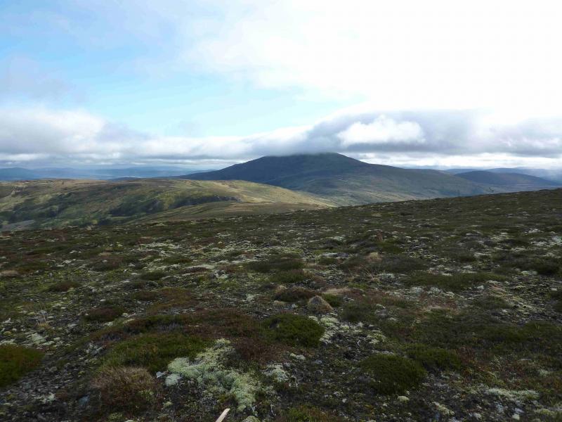
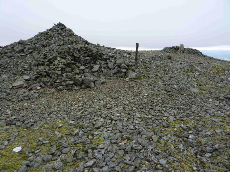
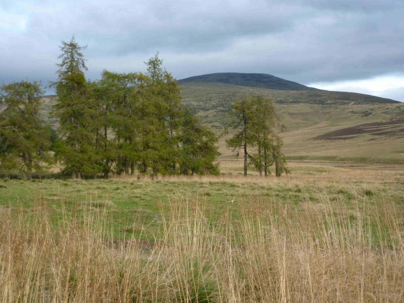
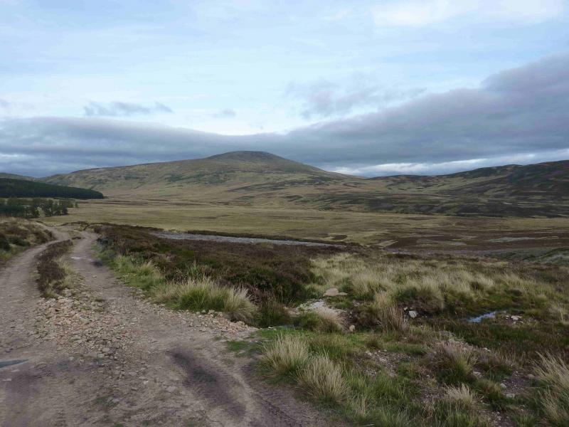
Two easily ascended peaks with fine moor land views and, on clear days, views to Lochnagar and Ben Avon. Mona Gowan’s summit has a large jubilee cairn. Morven has a large cairn and trig plus a summit book (for signing) in the shelter cairn on the E side of the summit cairn.
Route
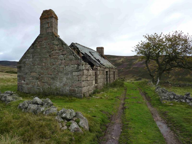
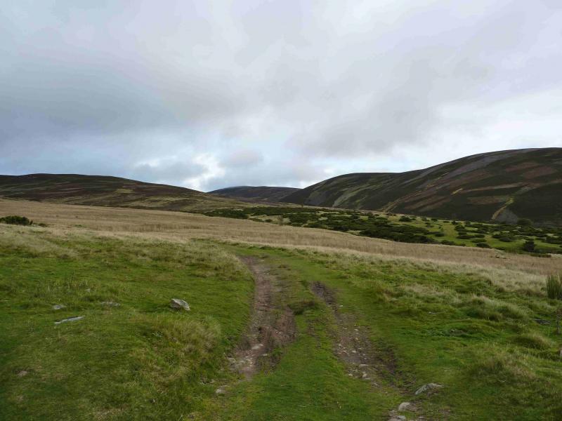
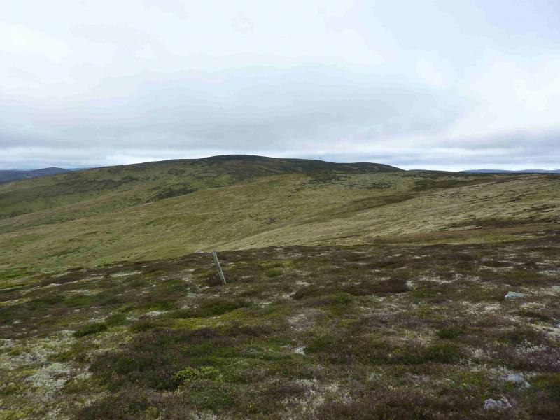
(1) Walk N up the road, for about 250 m, to an obvious track which soon reaches the ruined buildings at Glenfenzie. Continue through the ruins for about 2 km to where the track splits. Go right and cross a small burn. The track now climbs ENE to reach a shallow bealach between Mona Gowan and Pt 637. Follow the track up the S ridge, shadowing a new fence to the right, E. The track soon becomes a path and leads to the large jubilee cairn on Mona Gowan, 749 m.
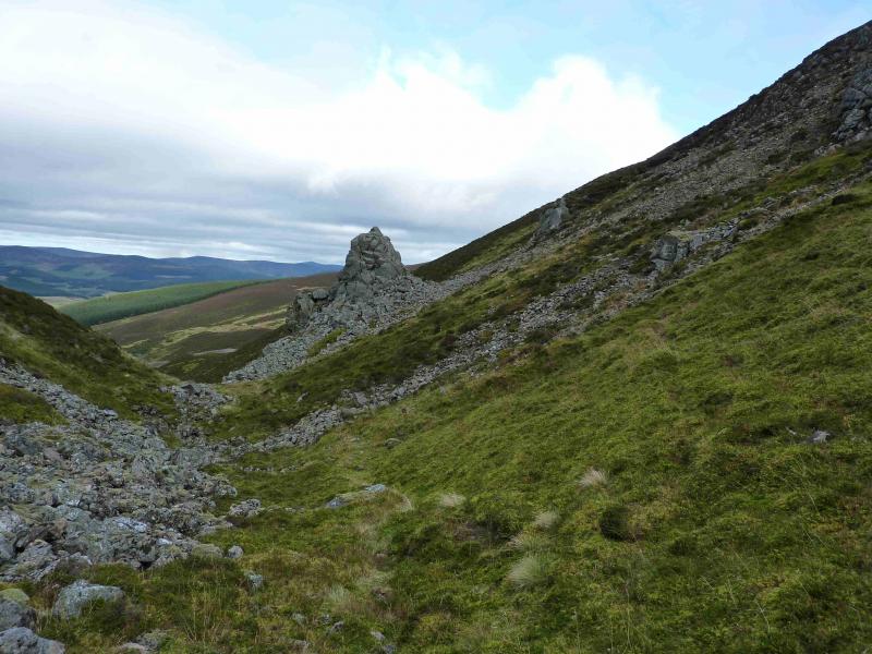
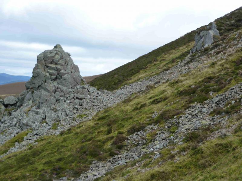
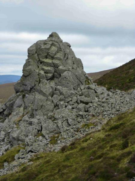
(2) Descend the broad E ridge, following some old fence posts to reach a gap aligned N to S. This is the Slacks of Glencarvie and there is quite a prominent “stack” at the northern end which can be climbed easily on its E side.
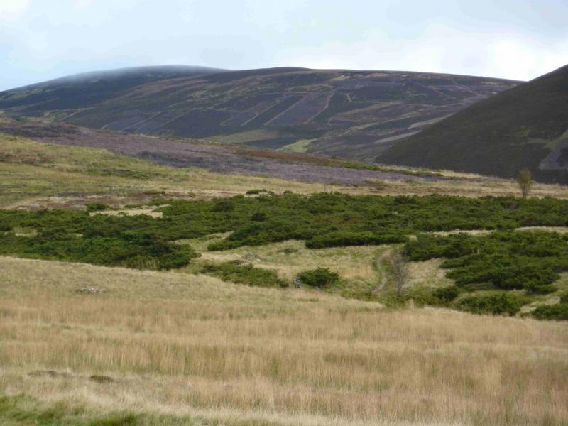
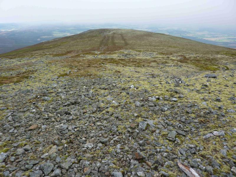
(3) Ascend E from the Slacks to reach the broad plateau of Mullachdubh. Head down its gentle S ridge to reach a prominent finger cairn. Continue down the broad ridge, with a faint path, to reach the bealach at about NJ 357 048. Ascend SE, on a faint path, climbing a succession of shoulders. On a particularly broad shoulder, the route goes E and a better path/track appears which leads to the summit plateau where there is a trig point and a large cairn marking the summit of Morven, 872 m. There are several shelter cairns in the summit area.
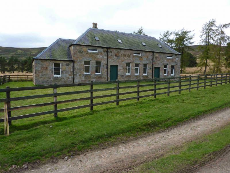
(4) Retrace back to the track and follow it down to the broad shoulder from where it goes roughly SW to join a gravel track running E – W (shown on map). Turn right, W, and follow the gravel track. When it goes SW, a rough grassy track goes straight on then crosses a burn before reaching the Morven Lodge area where a better track is met. Turn left, SW, and go past the only inhabited building remaining. Continue and take the first track, grassy at first, on the right. This soon improves and leads through a low bealach to Glenfenzie. Just before Glenfenzie is a metal gate. The track goes through this but there is an extremely boggy hollow a little further on so, instead, follow the grassy track which forks right just before the gate and leads to the outward track at Glenfenzie.
Notes
(a) This walk took place on 13th October, 2011.
Photos - Hover over photo for caption. Click on to enlarge. Click on again to reduce.