Get Lost Mountaineering
You are here: Scotland » 08 Cairngorms and Buchan » Eastern Cairngorms to Lecht Road
Brown Cow Hill
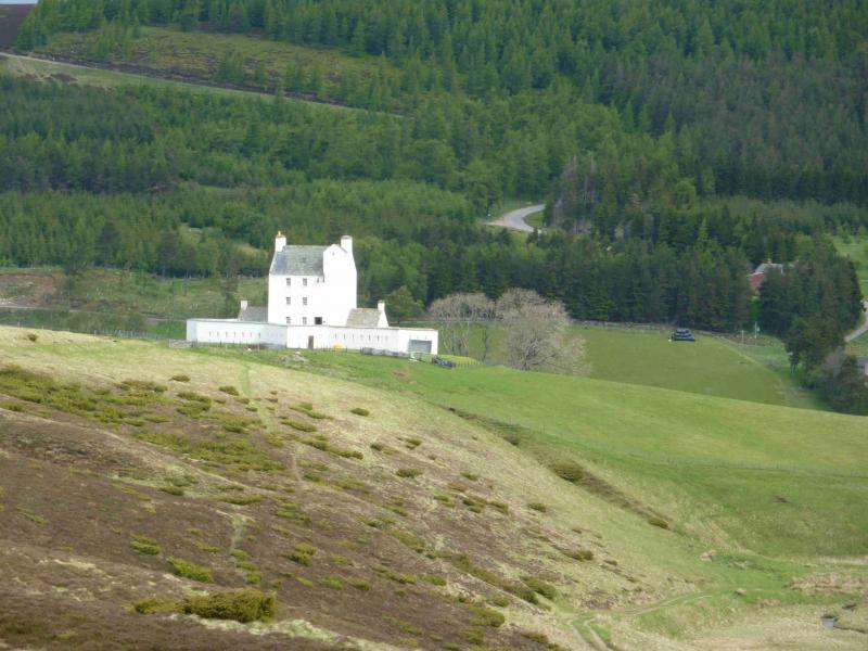
Brown Cow Hill from Corgarff Castle on A939
Start/Finish
Corgarff Castle car park at Cock Bridge on A 939 Tomintoul to Ballater road.
Distance/Time
19 km Approx 6 hours
Peaks
Brown Cow Hill, 829 m, NJ 221 044. OS sheets 36 & 37.
Introduction
This is a lovely high moorland walk over a Corbett and its subsidiary tops. There are good views to the surrounding hills including Morven, Carn Ealasaid, Culardoch and Carn Liath but especially to Ben Avon which is the next mountain to the west.
Route
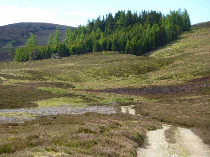
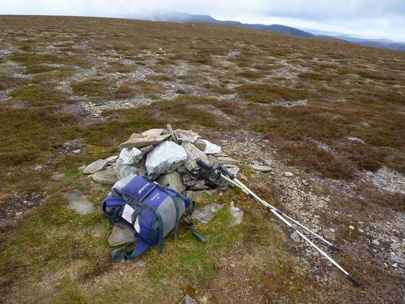
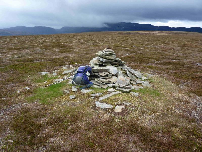
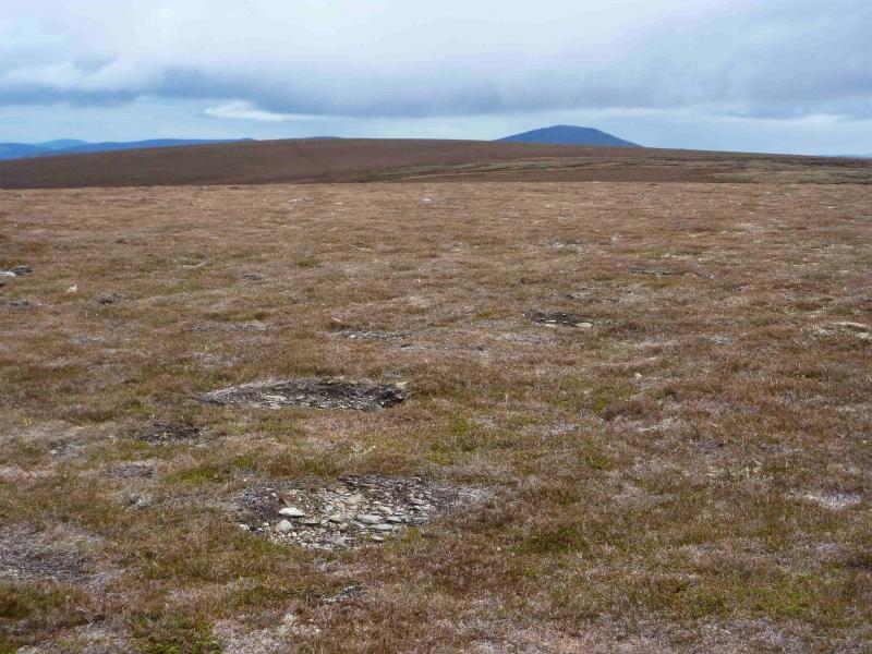
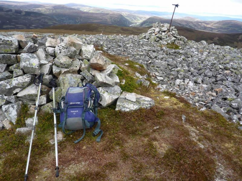
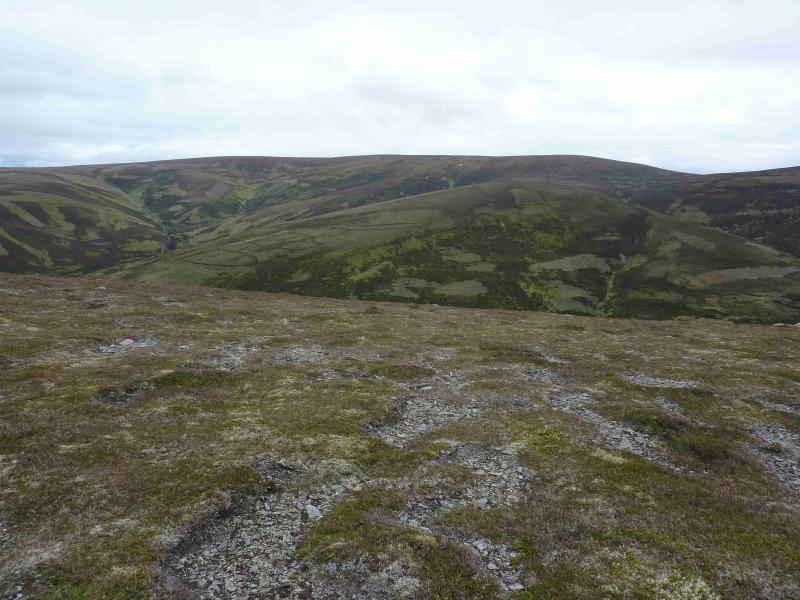
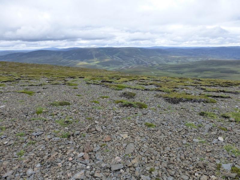
(1) Walk up the track from the car park towards the castle. Go through the last gate on the right before the castle and walk across the field to go through the next gate after which there is a path which gradually slants down to join the main track on the W side of the Cock Burn. Follow the track S towards the obvious wood which is much much smaller than is shown on the 1996 OS sheet 37. Just before the wood is a right fork which should be ignored. The track passes just below the wood then gradually veers west away from the Cock Burn and on to sheet 36 before ending just below the S bealach of Carn Oighreag where a path takes over and heads SSW up the gentle broad slopes of Brown Cow Hill. The path varies between distinct and faint with some peat hags having to be negotiated before reaching the crest where the path is quite distinct. The ridge goes SW to a small cairn at a height of 823 m which is marked on the map as Brown Cow Hill but it isn't! The true summit lies about 1 km to the W across more peat hags which can be outflanked on their right, N, to reach a good track which passes very close to the small cairn which is the true summit of Brown Cow Hill, 829 m.
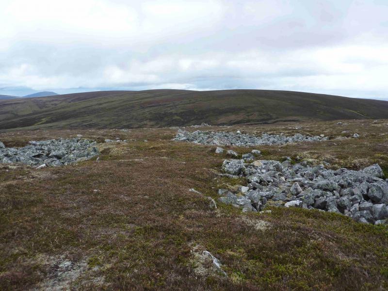
(2) Continue on the track, while it lasts, over, or round, Cairn Sawrie then down WNW to a grassy bealach and up to Meikle Geal Charn, 802 m, with its white quartzite stonefields and which is the finest summit in the range. It is also possibly the best viewpoint for Ben Avon.
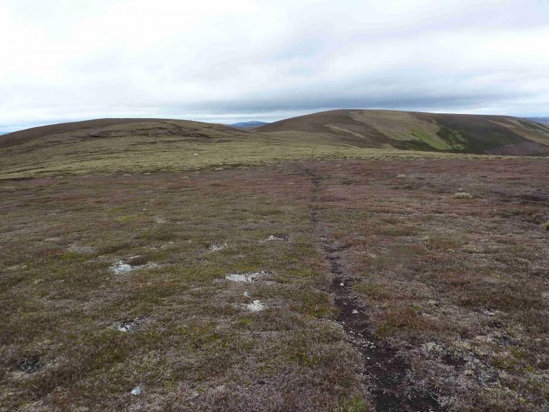
(3) Descend NW to another grassy bealach then up to Little Geal Charn, 710 m. A line of old fence posts may aid navigation.
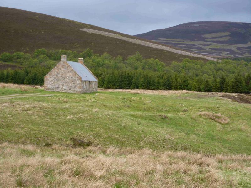
(4) Descend N then up to Pt 709 which is essentially a shoulder of Cairn Culchavie, 726 m, to the NE which is crossed before heading E then ENE down its easy grassy/heathery ridge where a faint track may be followed down to the main track by the lagoon at Inchmore. Turn left and soon meet another track coming from the left, W. The combined track is now followed alongside the infant River Don past Delnadamph Lodge and Badochurn back to the start. Corgarff Castle, despite its local prominence, is not visible until almost at the car park.
Notes
(a) This walk took place on 16th May, 2011.
Photos - Hover over photo for caption. Click on to enlarge. Click on again to reduce.