Get Lost Mountaineering
You are here: Scotland » 01 South of Oban to Stirling and Fife » Ben Lomond, Crianlarich, Balquidder and Trossachs
Balimore Horseshoe: Beinn Stacath & Creag Mhor
Balimore Horseshoe: Beinn Stacath & Creag Mhor from Balimore
Start/Finish
Small parking area by entrance to Balimore Farm, about 3 km S of Balquidder on minor road. Park cars at right angles to the wall.
Distance/Time
15 km Approx 7 hours
Peaks
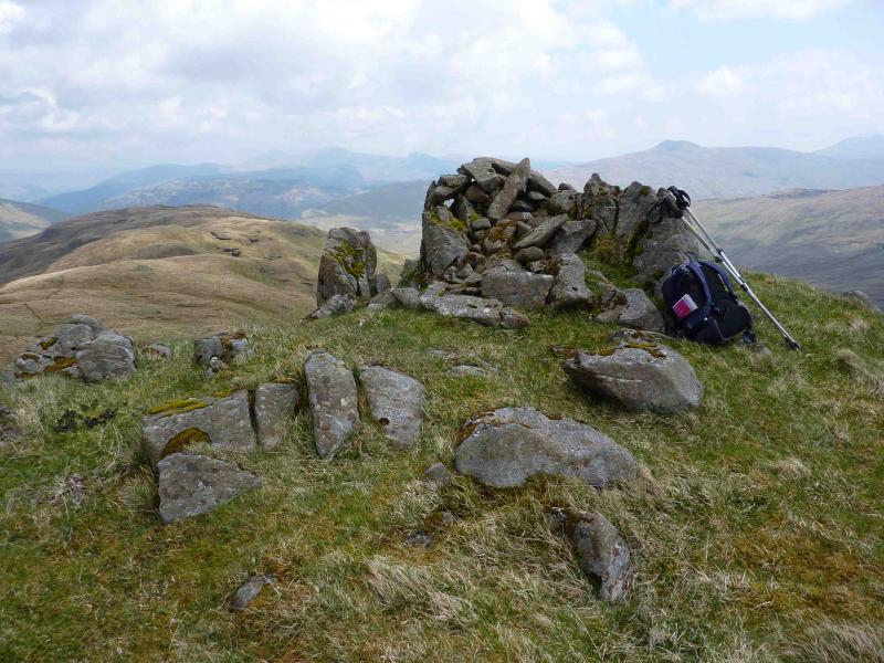
Beinn Stacath, 771 m, NN 474 163. (also known as Stob Fear-tomhais)
Creag Mhor, 658 m, NN 510 185. OS sheet 57.
Introduction
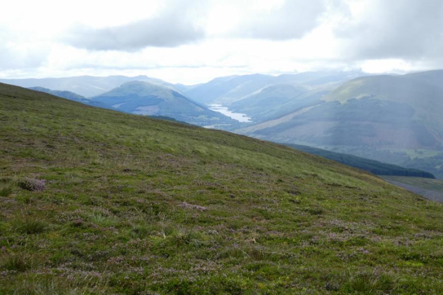
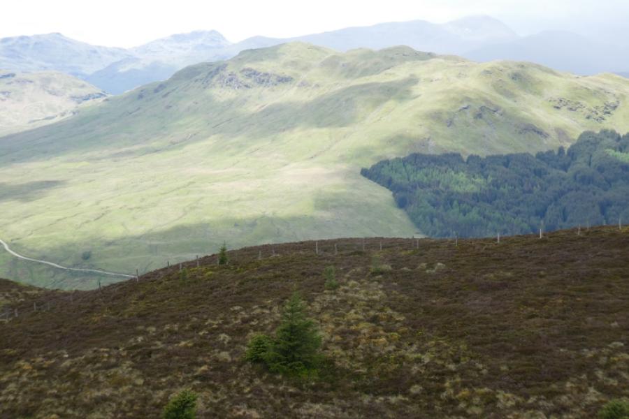
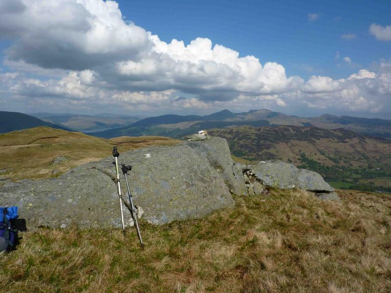
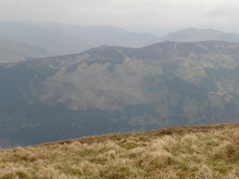
This walk gives good views in all directions but especially to Ben More and Stob Binnein. This area is quite keenly stalked and the landowners would appreciate walkers avoiding this route between 15th July and 15th February .
Route
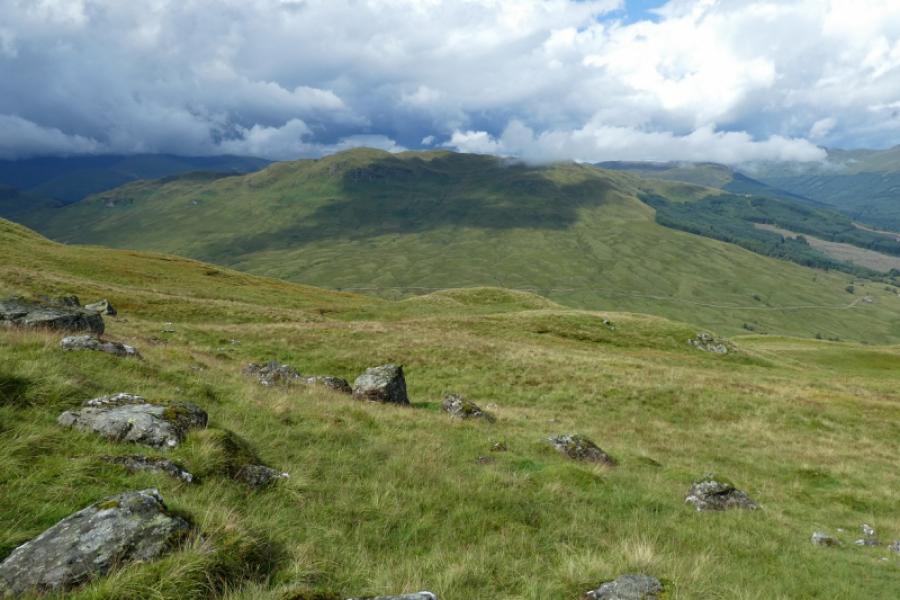
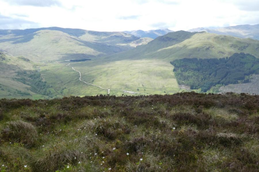
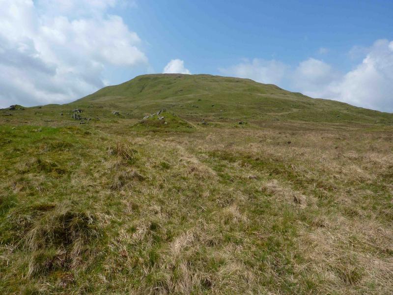
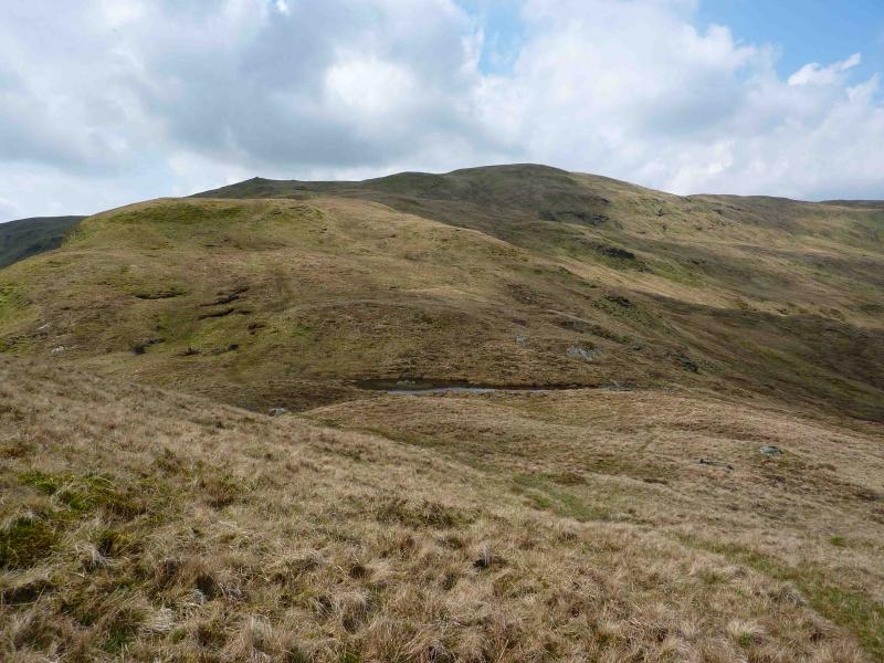
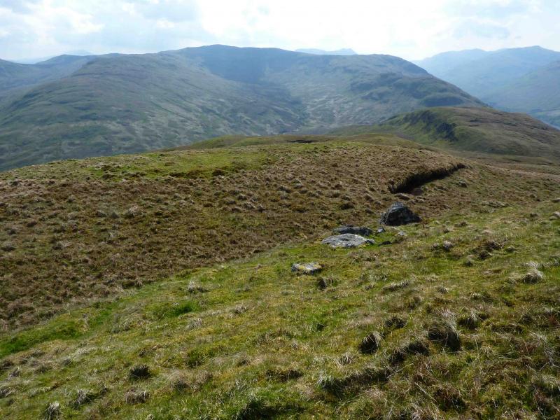
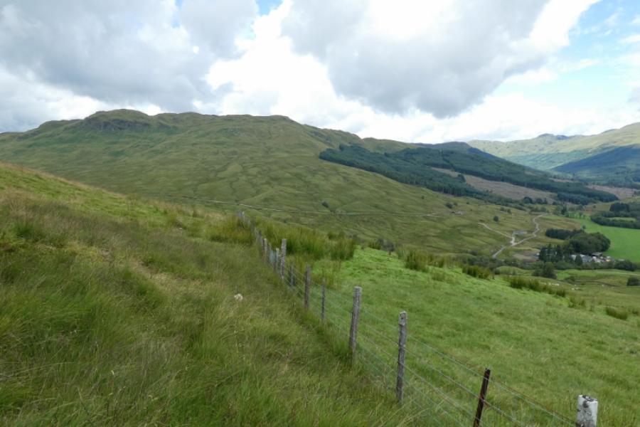
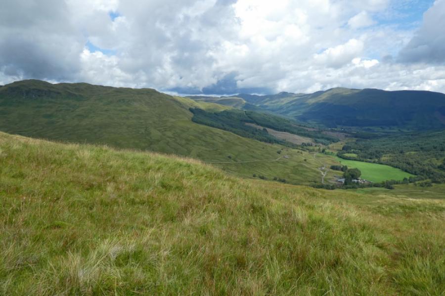
(1) Cross the road bridge just past the farm and follow the signposted public right of way which goes W following the river. When the path turns S, cross the fence on the right using the gate. Cross the river which is usually easy but in spate conditions it may be necessary to go upstream. Head WNW and start ascending the obvious grassy slopes ahead aiming for the well defined ridge higher up. There are hints of a path and a distinct path exists higher up. Follow the undulating ridge W then WSW over many shoulders and several tops before reaching the summit ridge along which runs an old fence. The summit trig point of Beinn Stacath, 771 m. lies at the N end of the summit ridge.
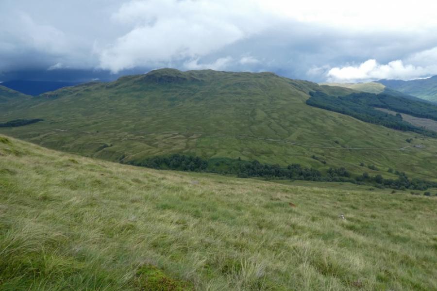
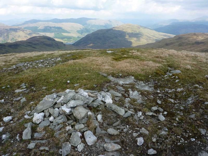
(2) Descend the N ridge which gradually trends E following the same fence. When the ridge starts to climb again, drop down right, S, to outflank the crags at the end of the ridge and reach the broad bealach area just S of the large plantation above Loch Voil. Ascend mainly grassy slopes E, traversing below, S, of the heathery crags low down on the ridge. Continue ascending the complex ridge to eventually reach a small plateau on which there is a tiny cairn on a sloping slabby rock which is the summit of Creag Mhor, 658 m.
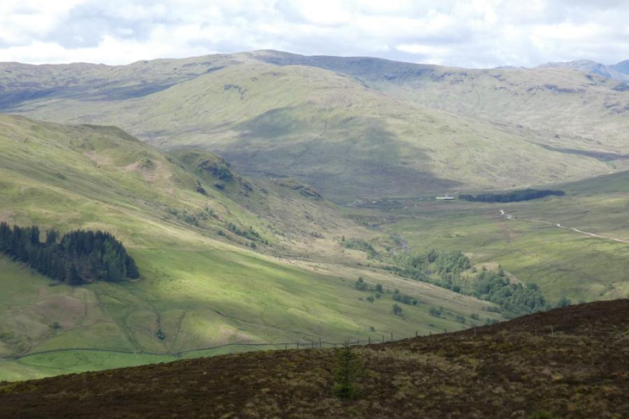
(3) Descend SE on a direct line for Balimore until the edge of a line of steep crags is reached. Traverse along the top of these for a short distance until a wide grassy gully is reached which can be descended to safer ground from where it is easy to walk to the track in the glen. Walk E along the track, climbing two tall deer gates, to reach the minor road a short distance N of Balimore.
Notes
(a) This walk took place on 23rd May, 2010.
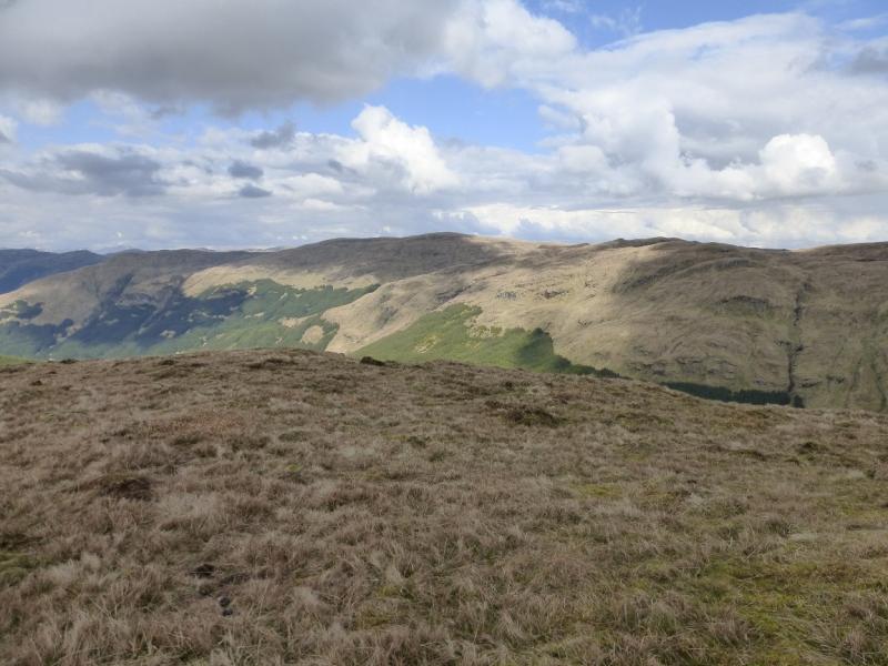
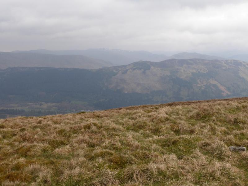
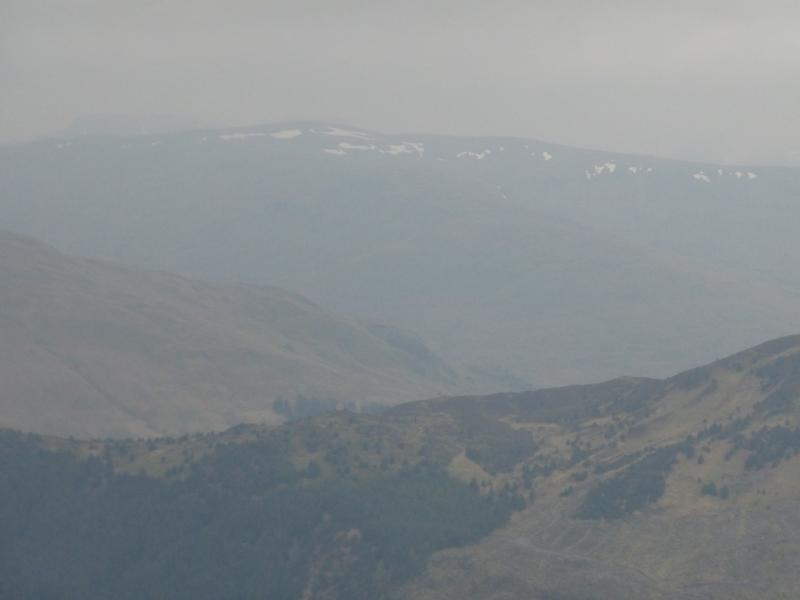
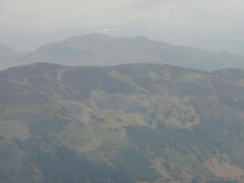
Photos - Hover over photo for caption. Click on to enlarge. Click on again to reduce.
 from N ridge of Benvane.JPG)