Get Lost Mountaineering
You are here: Scotland » 01 South of Oban to Stirling and Fife » Ben Lomond, Crianlarich, Balquidder and Trossachs
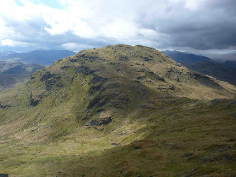
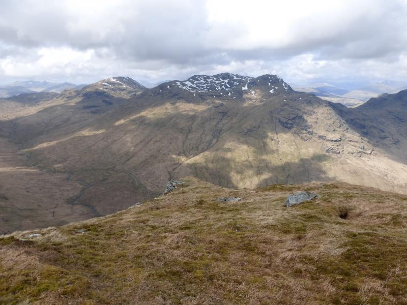
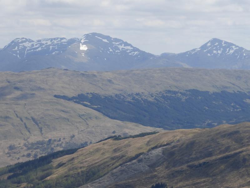
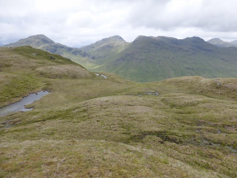
An Caisteal Range
An Caisteal Range from near Inverlochlairig, E of Balquidder
Start/Finish
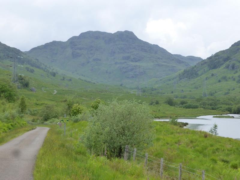
Car park at end of minor road about 1 km E of Inverlochlairig and about 10 km W of Balquidder.
Distance/Time
22 km Approx 10 hours
Peaks
Beinn a’ Chroinn, 940 m, NN 394 186.
Beinn a’ Chroinn W Top, 938 m, NN 385 185.
An Caisteal, 995 m, NN 378 193.
Beinn Chabhair, 933 m, NN 367 179. OS sheets 50 and 56.
Introduction
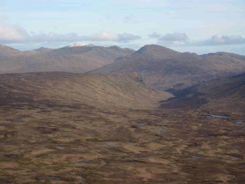
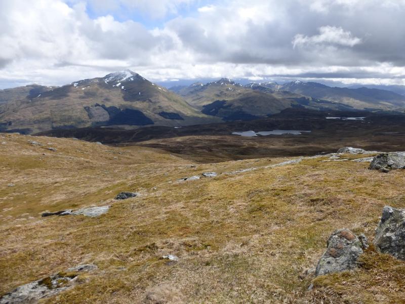
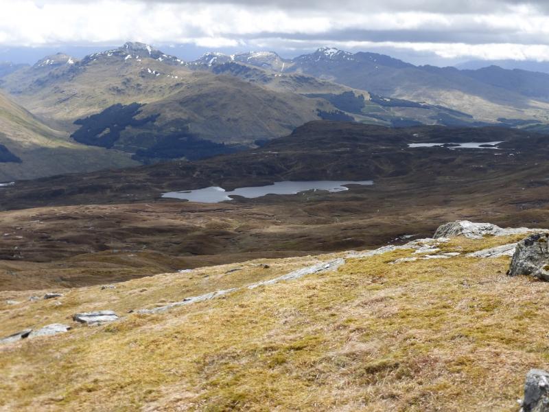
This essentially circular walk gives good views in all directions but especially to Ben More and Stob Binnein. Some of the route is on pathless terrain which is mainly rough grass. The ascent of Beinn a’ Chroinn and descent of Beinn Chabhair rely on good route finding to avoid the many crags
Route
(1) From the car park, walk W along the track which is a continuation of the tarmac road. The track goes past the buildings at Inverlochlairig. Just after crossing the Ishag burn, leave the track and ascend NW on pathless grassy slopes aiming for the crags on the lower part of the SE ridge of Beinn a’ Chroinn. Weave through the pathless maze of crags with careful route finding to reach a shoulder at about NN 399 186. An easier route to this point is to walk up the grassy ramp below the line of crags. An even easier route is to stay on the track until about NN 403 168 then walk N up a gentle ridge to this shoulder. From the shoulder, continue up the SE ridge, avoiding the odd crag to reach the medium summit cairn of Beinn a’ Chroinn, 940 m.
(2) A good path now leads down into a significant dip then up to the medium summit cairn of the West Topof Beinn a’ Chroinn, 938 m.
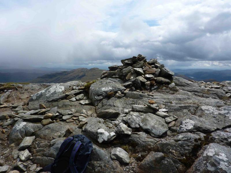
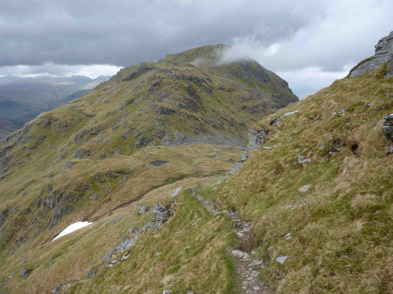
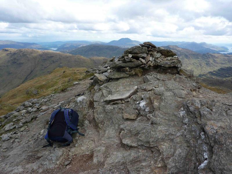
(3) Continue on the path which eventually leads down to an obvious well defined bealach encountering two rock steps en route. The second (lower) one is more significant but both involve no more than easy scrambling. From the bealach, ascend NW then N on an obvious path, with the odd easy rock step, to reach a flattish ridge followed by the short final ascent to the summit plateau where there are two cairns, the large second (N) cairn being the summit of An Caisteal, 995 m.
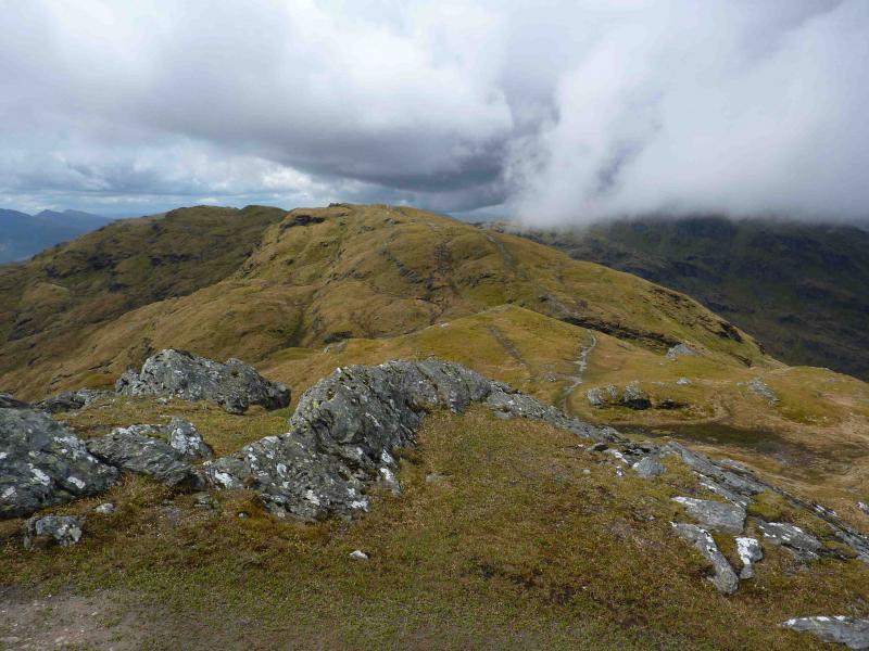
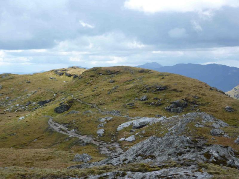
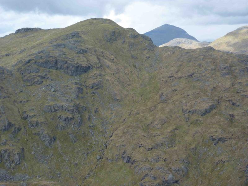
(4) Retrace to the start of the flattish section then descend SE on open grassy slopes – any crags are to the left of this descent – to reach the complex bealach at about NN 374 183. A path in the bealach winds around a small mound before ascending SW. The path soon becomes faint so continue to ascend SW up steep grassy slopes littered with rocks and the odd easily avoided crag to reach the summit ridge of Beinn Chabhair, 933 m. The summit is a large cairn on a rocky outcrop at the SSE end of the ridge. There is another cairned top NNE along the ridge across a shallow dip but this cairn is set on grass.
(5) Descend SE, initially on a good path but this soon peters out so, very carefully, pick a way through the many crags on steep grassy slopes to reach the glen below. Walk E following the left (N) side of the main burn to reach the end of the track used earlier and walk back to the start.
Notes
(a) This walk took place on 28th May, 2010.
(b) This route would be a very serious undertaking in winter conditions and ice axe and crampons would be essential.
Photos - Hover over photo for caption. Click on to enlarge. Click on again to reduce.