Get Lost Mountaineering
You are here: Scotland » 04 Loch Leven and Loch Linnhe to Loch Ericht » Mamores to Corrour
Western Mamores: Mullach nan Coirean & Stob Ban
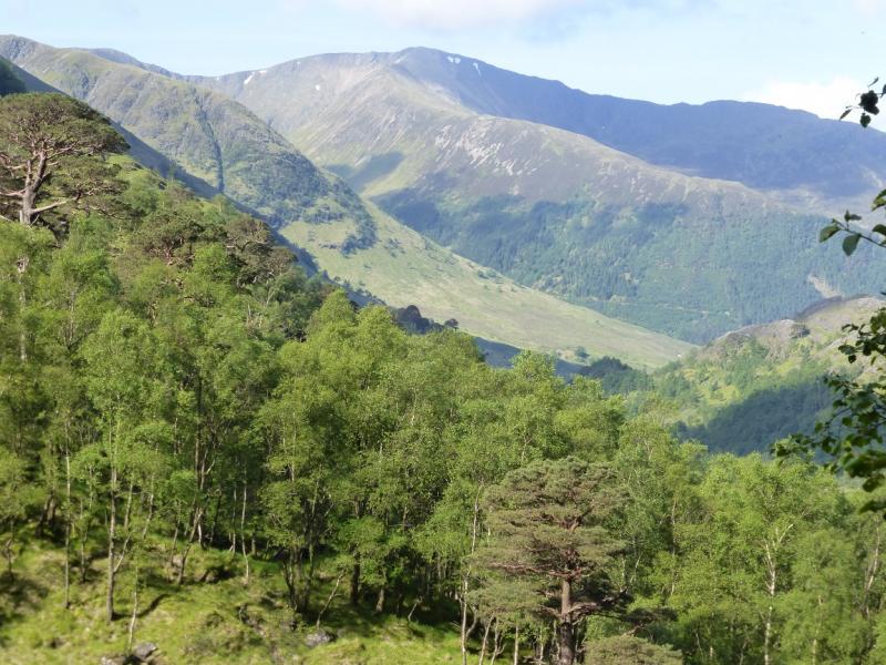
Western Mamores from Glen Nevis
Start/Finish
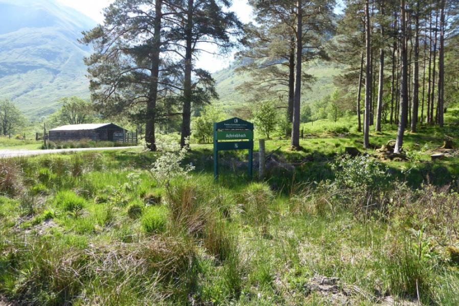
Lower Falls (pay) car park, Achriabhach, Glen Nevis at about NN 145 684. There is some limited free parking nearby.
Distance/Time
15 km. About 7 – 8 hours.
Peaks
Mullach nan Coirean, 939 m, NN 122 662.
Mullach nan Coirean SE Top, 917 m, NN 131 654.
Mullach nan Coirean E Top, 916 m, NN 138 657.
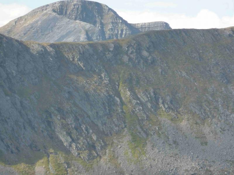
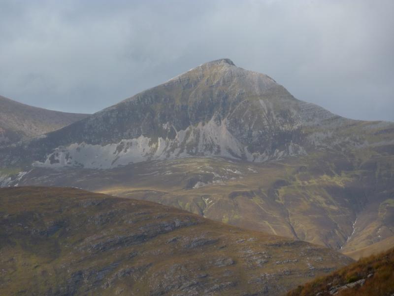
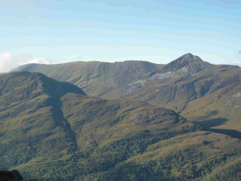
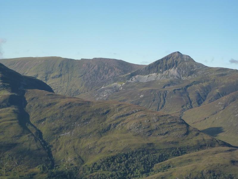
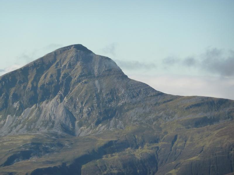
Stob Ban, 999 m, NN 147 654. OS Sheet 41: Ben Nevis.
Introduction
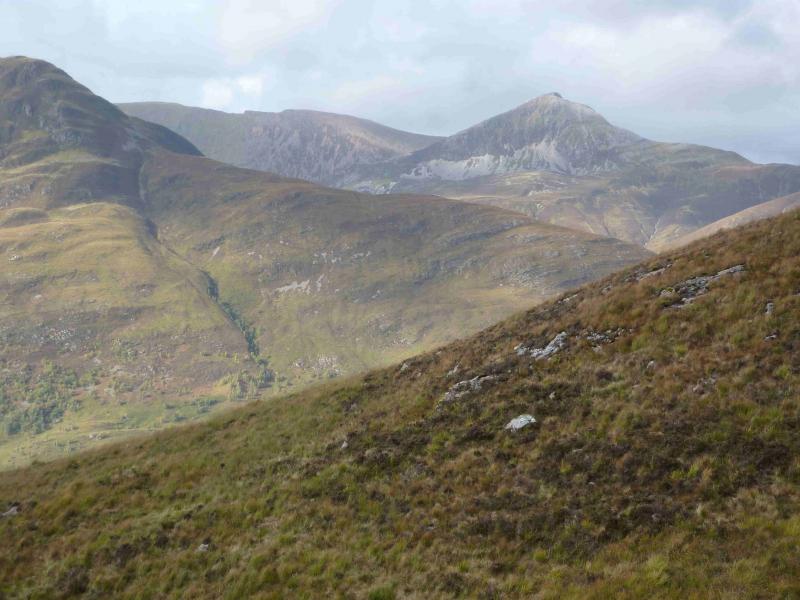
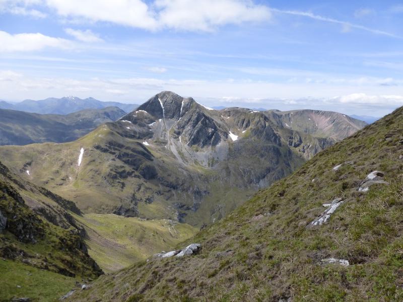
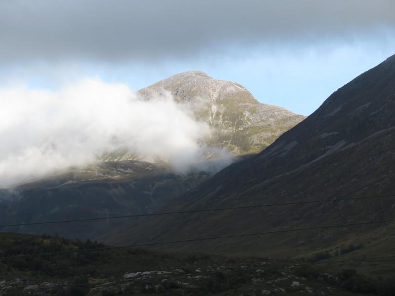
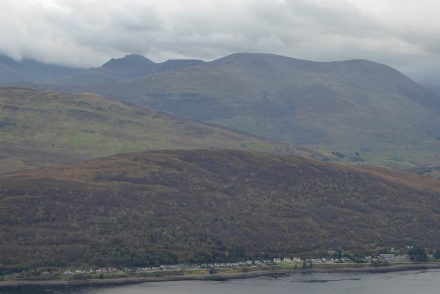
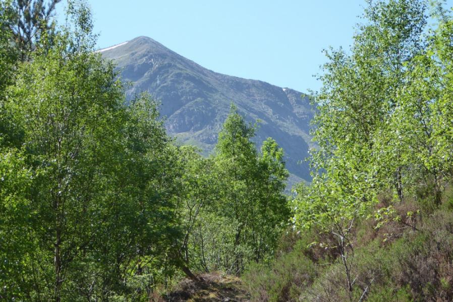
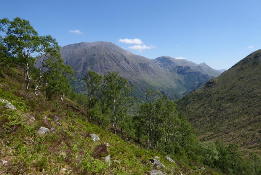
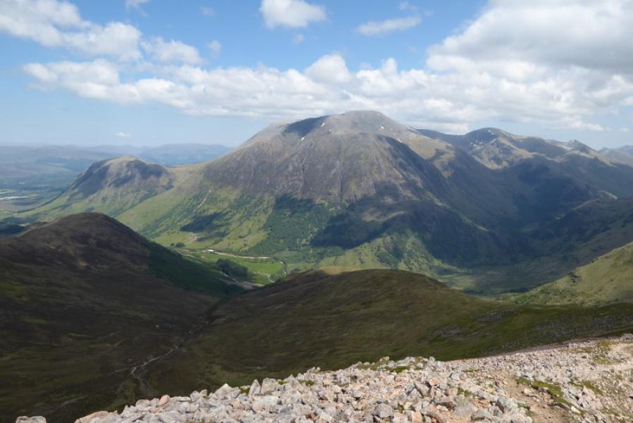
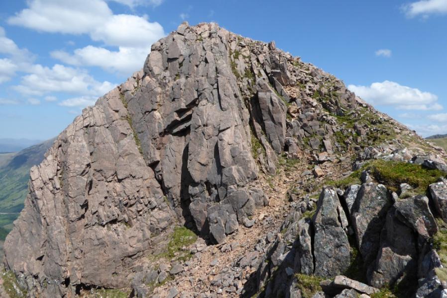
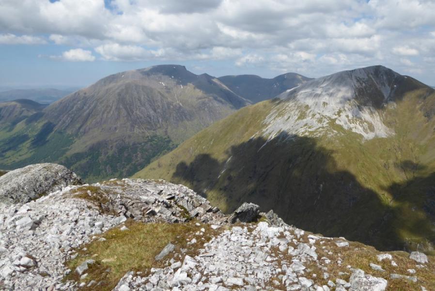
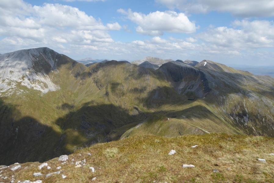
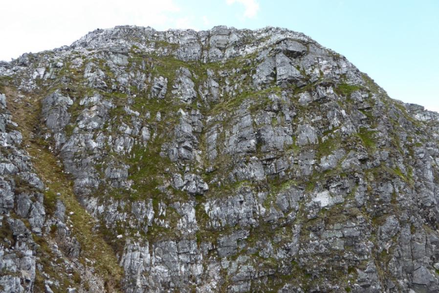
Outstanding views in all direction from this walk. Stob Ban is the white quartzite peak which is seen when looking towards Glen Nevis from Torlundy and the Mallaig road near Corpach. Recent forestry clearing closed this route in 2015 but it was open again in 2018.. The forestry have provided a good alternative route which is well signed and some will prefer the diverted route. The diverted route is posted separately. The only difference between the two routes is the section from the first hairpin bend at the top of the initial path to about the middle of the north east ridge. All other sections are identical.
Route
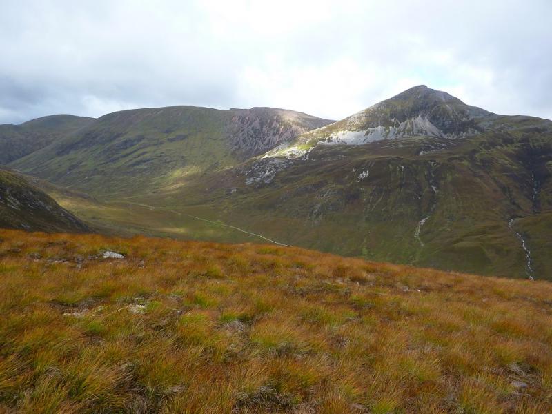
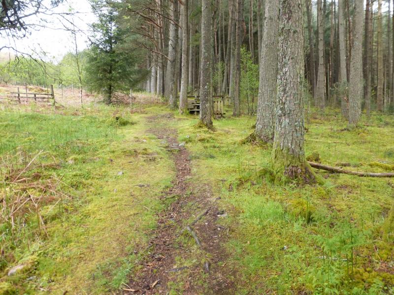
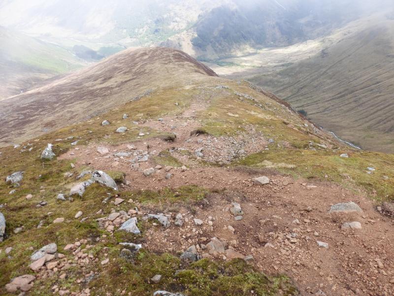
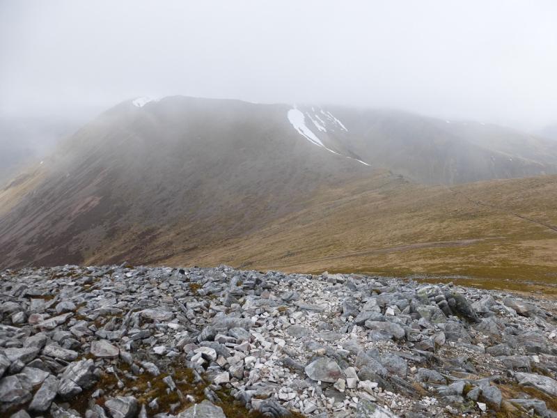
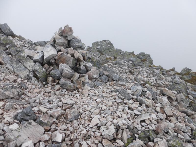
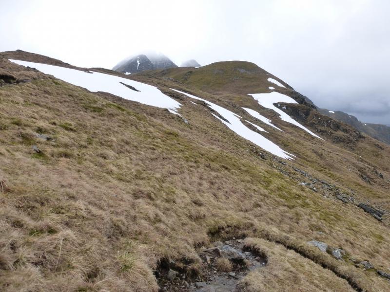
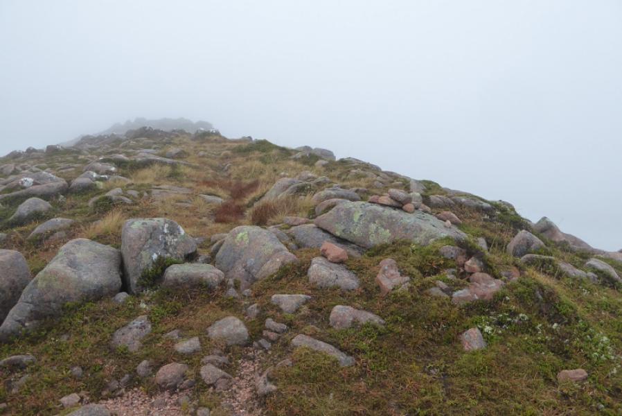
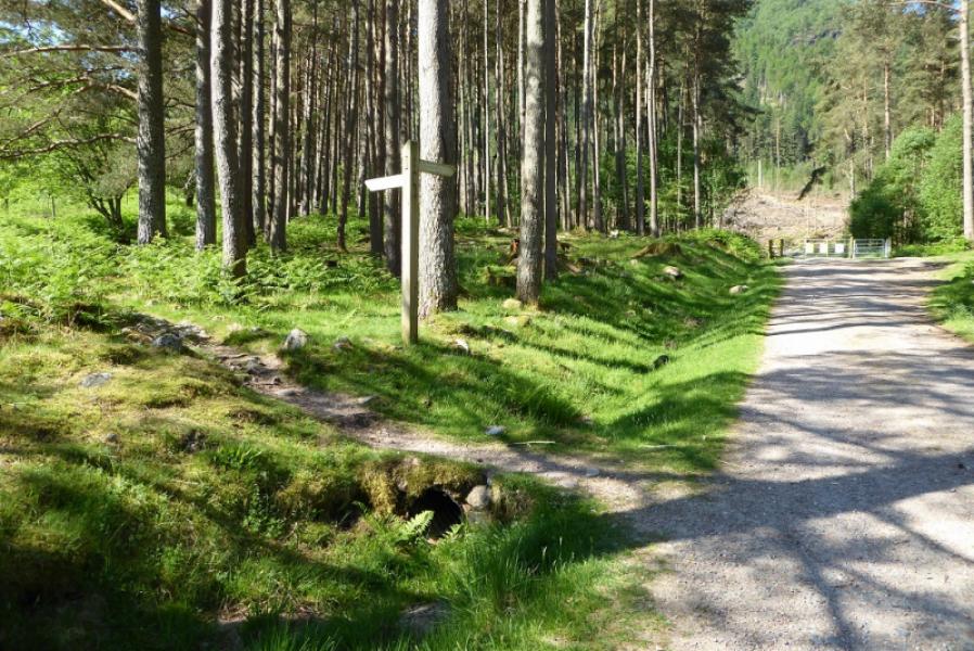
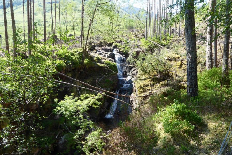
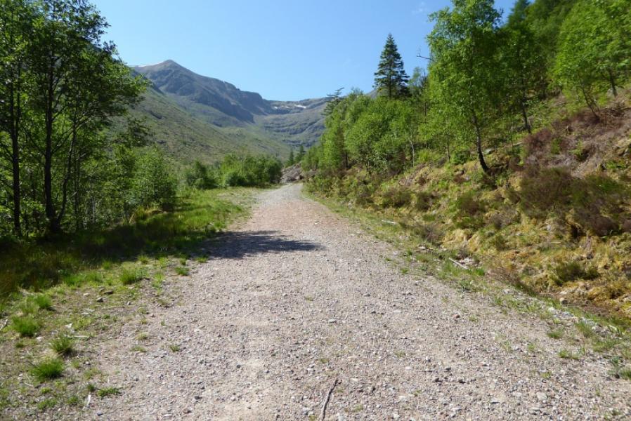
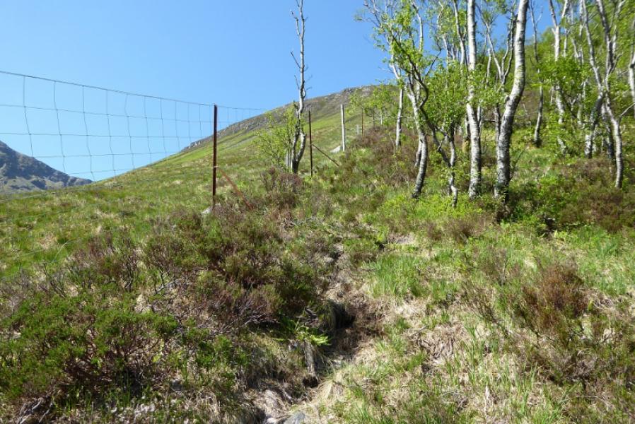
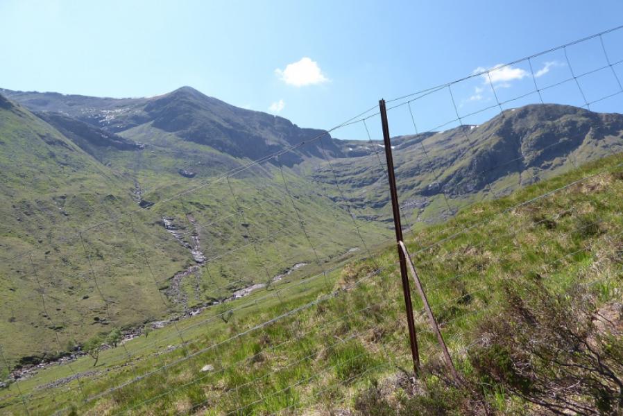
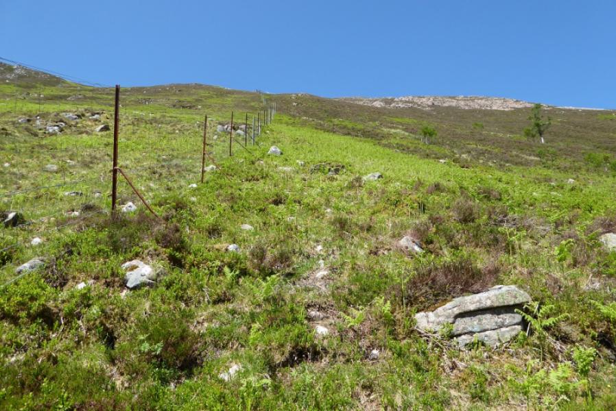
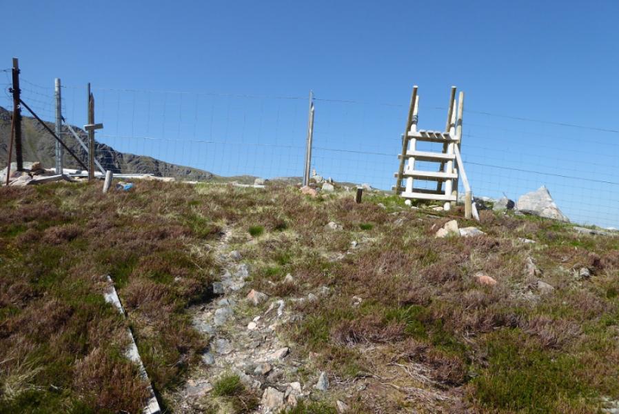
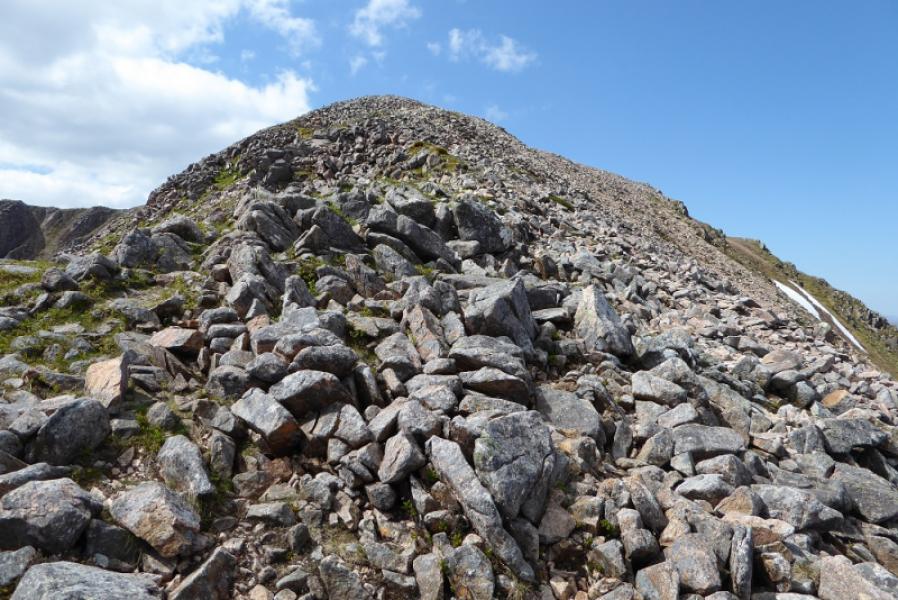
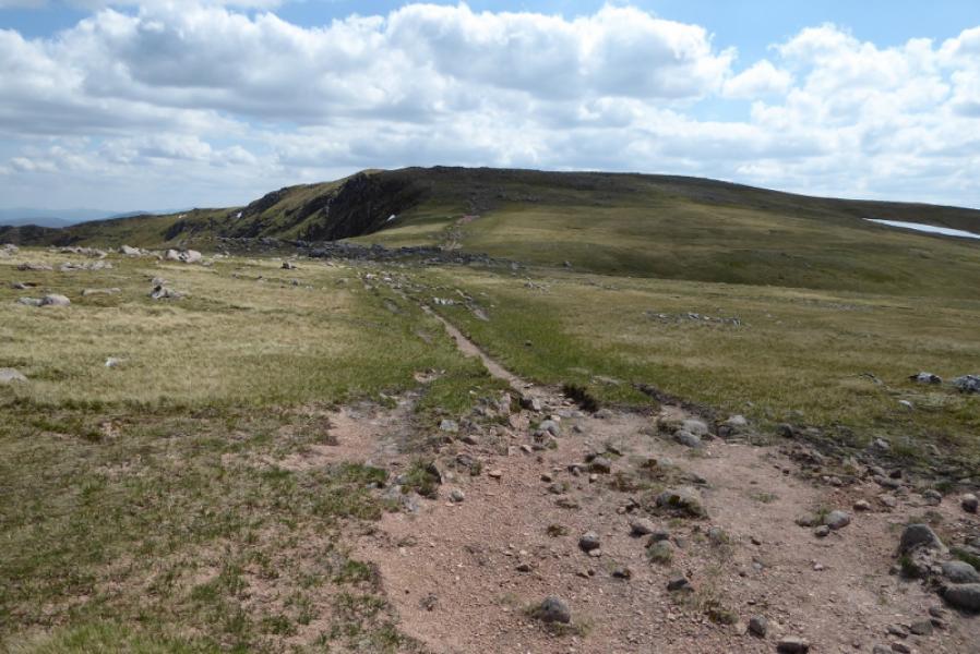
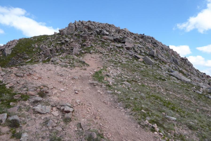
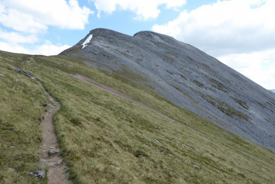
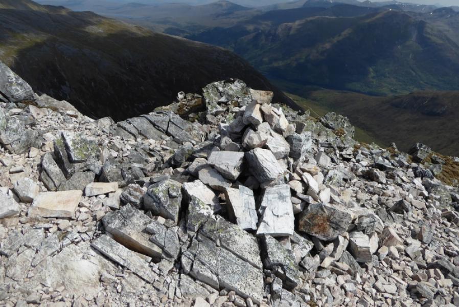
(1 )A forestry track starts opposite some white cottages slightly down the glen from the car park by a bus turning area. Take the path up the left side of the forest just after the start of the track. This emerges out on a hair pin bend of the upper track.. Continue on a second obvious path, in the same direction, which also comes out on the upper track. Follow the track S to its end then take the path which follows the right (E) bank of the Allt a’ Choire Dheirg. Try to avoid passing through the recently felled area as this will slow progress; it may be easiest to stay close to Allt a' Choire Dheirg. The path is boggy in places but generally well defined. One tributary is crossed before the path emerges from the forest and turns W, by a fence, to climb steeply to the NE ridge of Mullach nan Coirean. At the top of the path is a deer fence which now has a stile. Continue up the ridge to the summit plateau where there is a small cairn. 250 m further on is an even larger cairn which is the summit of Mullach nan Coirean, 939 m.
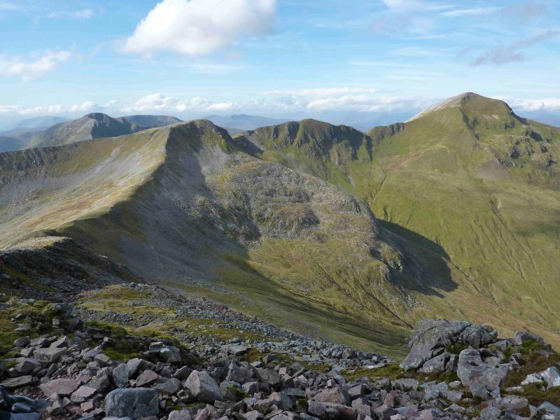
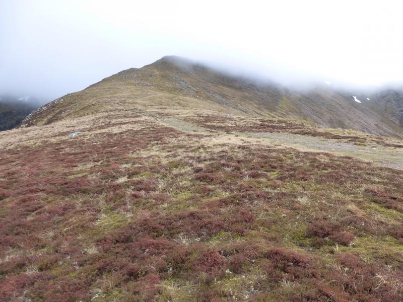
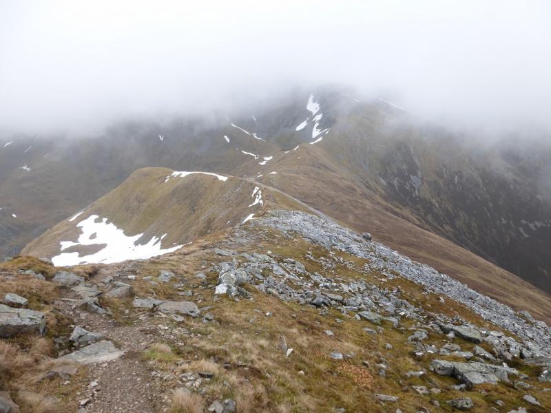
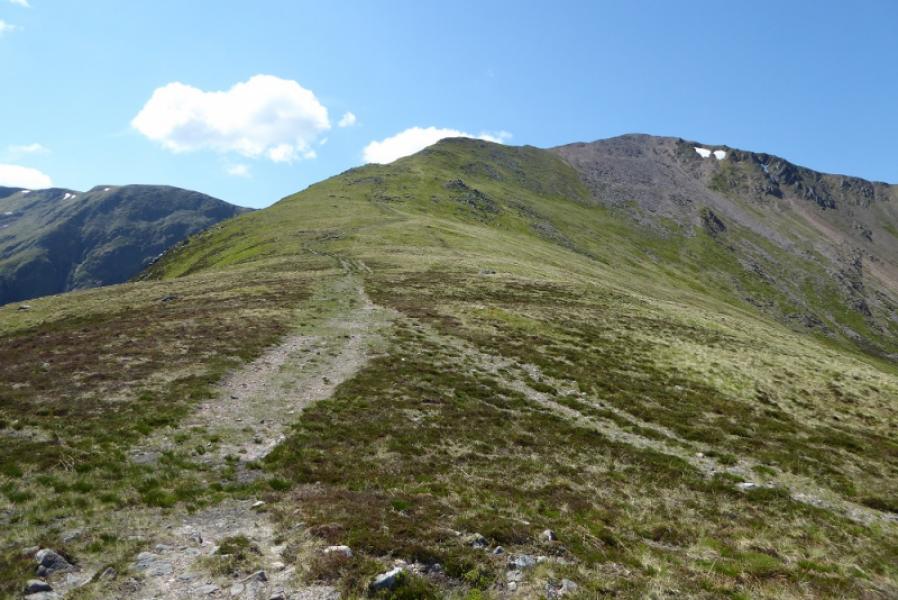
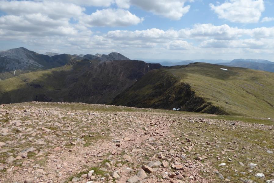
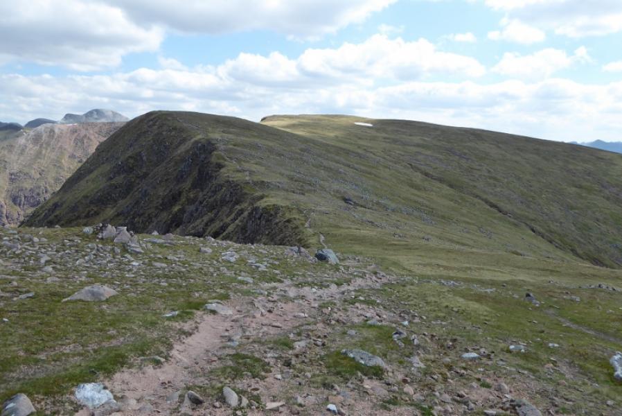
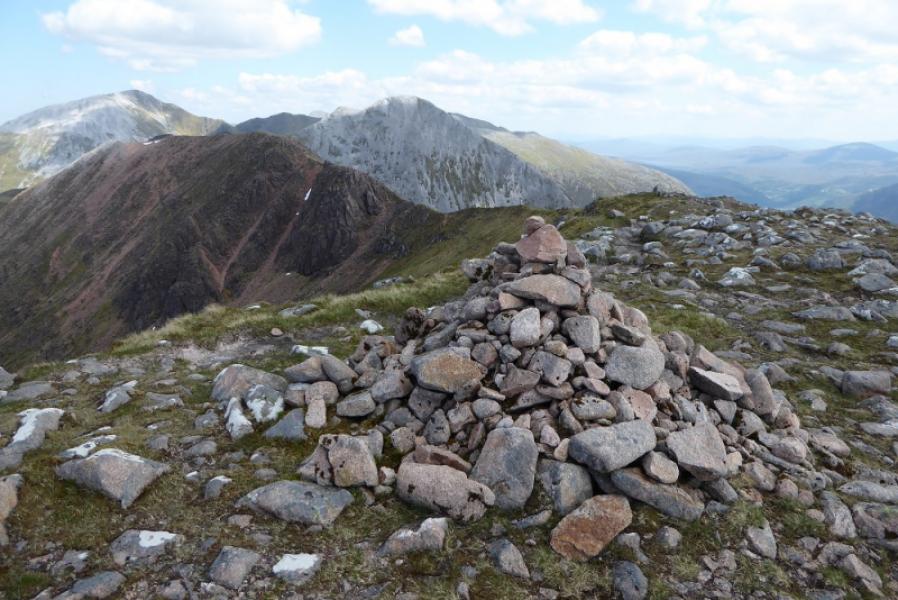
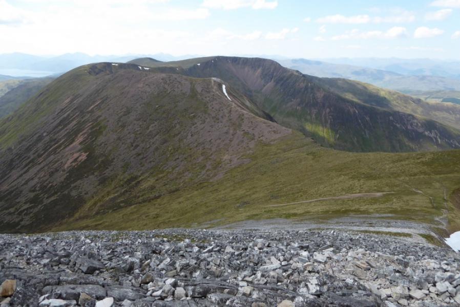
(2) Continue on obvious path with cliffs on the left (NW) down to a col then up for some distance to another substantial cairn which is the SE Top of Mullach nan Coirean, 917 m.
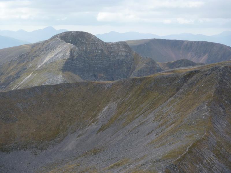
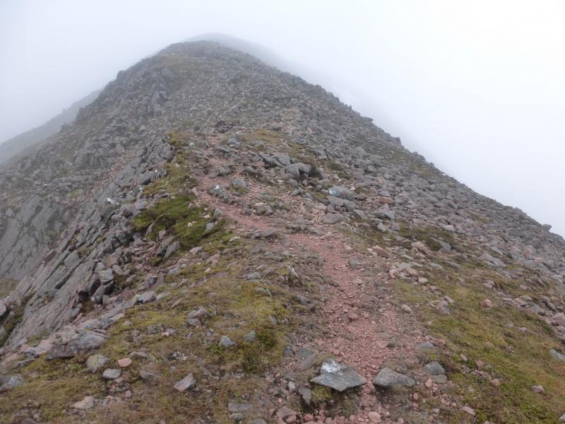
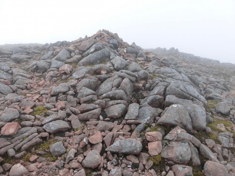
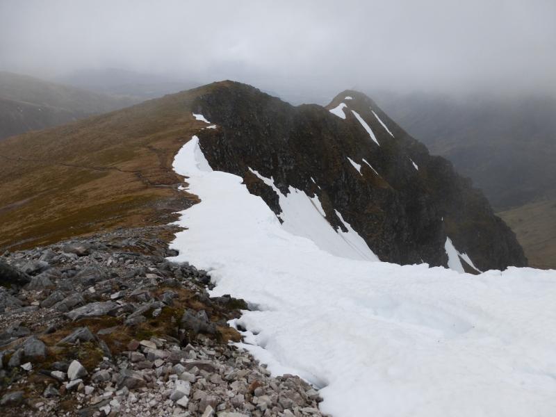
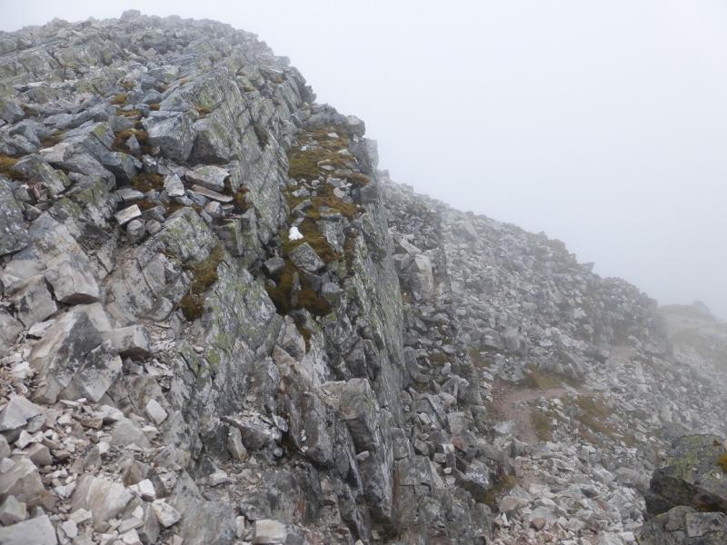
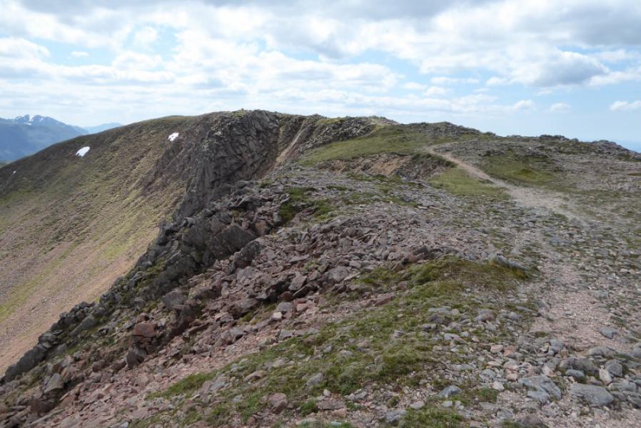
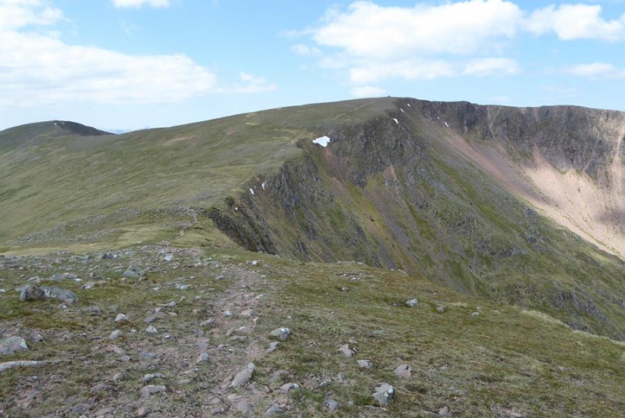
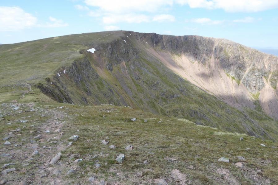
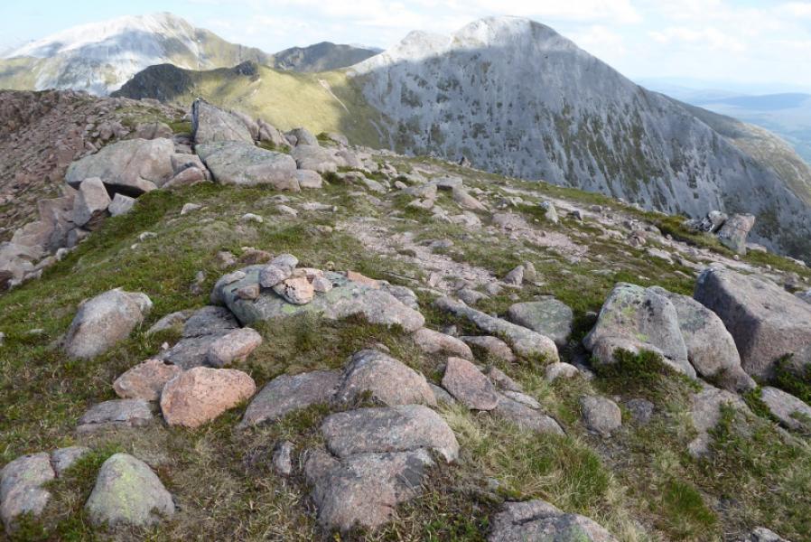
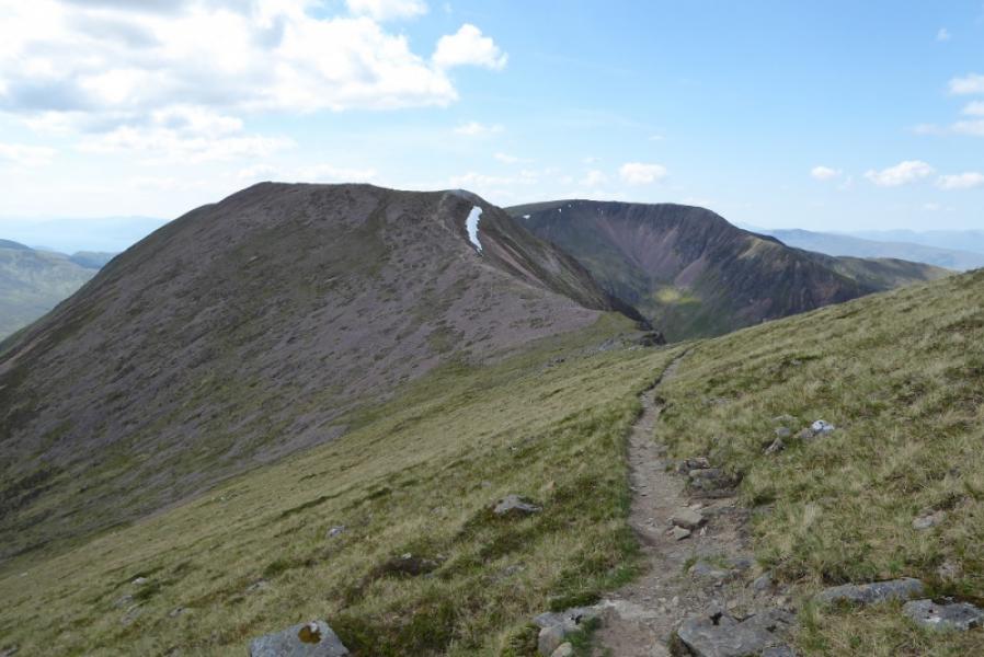
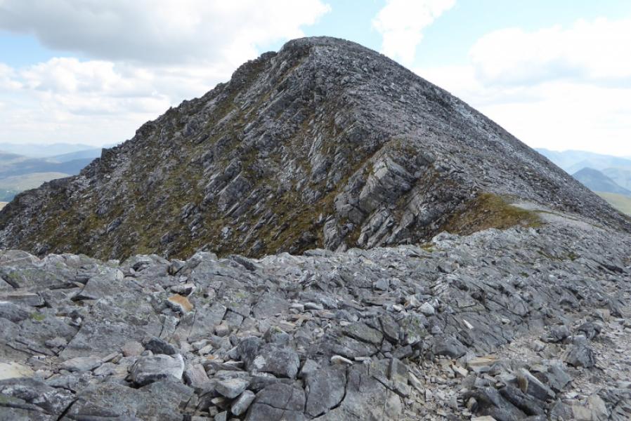
(3) Continue on obvious path following the edge to the next top, after an impressive rock wall on the left, which now seems to be a Munro Top being named Mullach nan Coirean East Top, 916 m, and there is a tiny cairn on a rock marking the highest point.
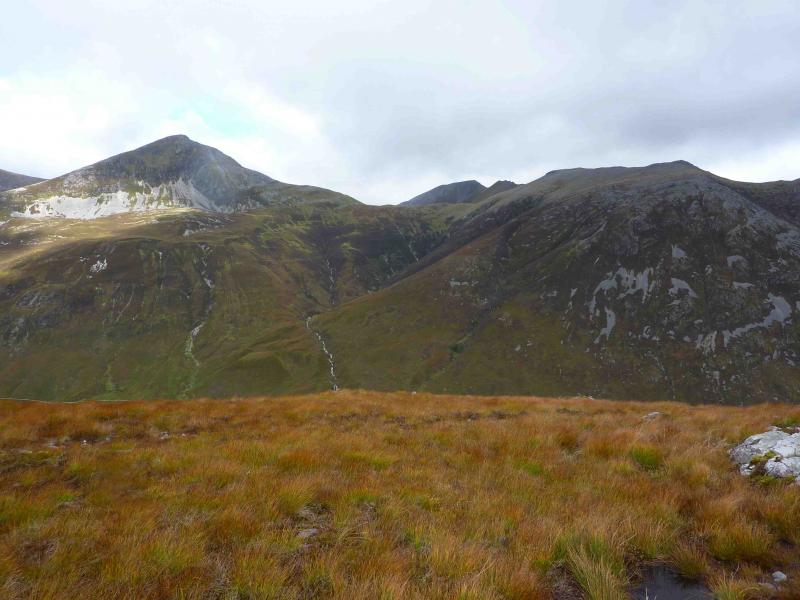
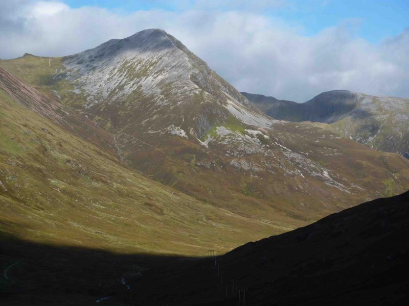
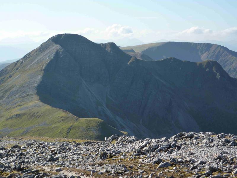
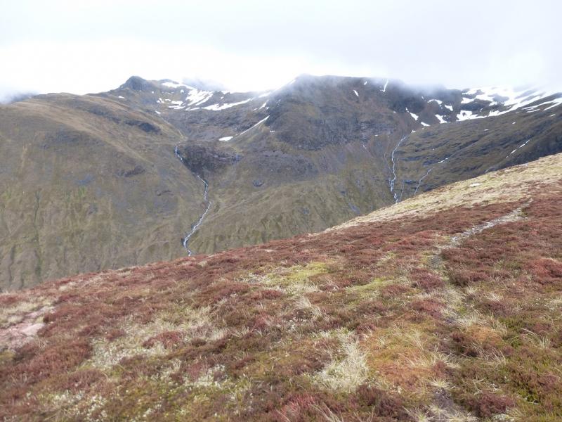
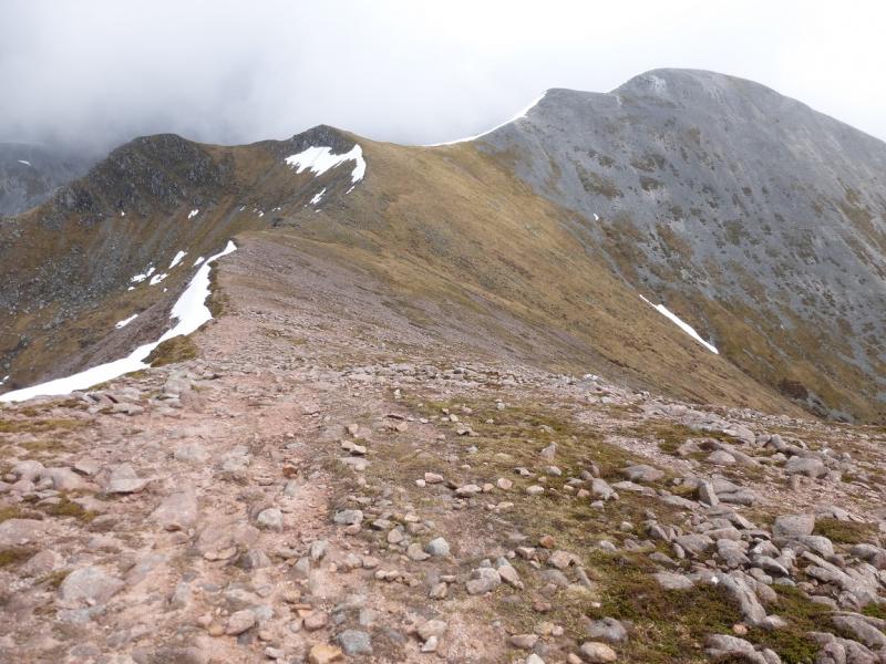
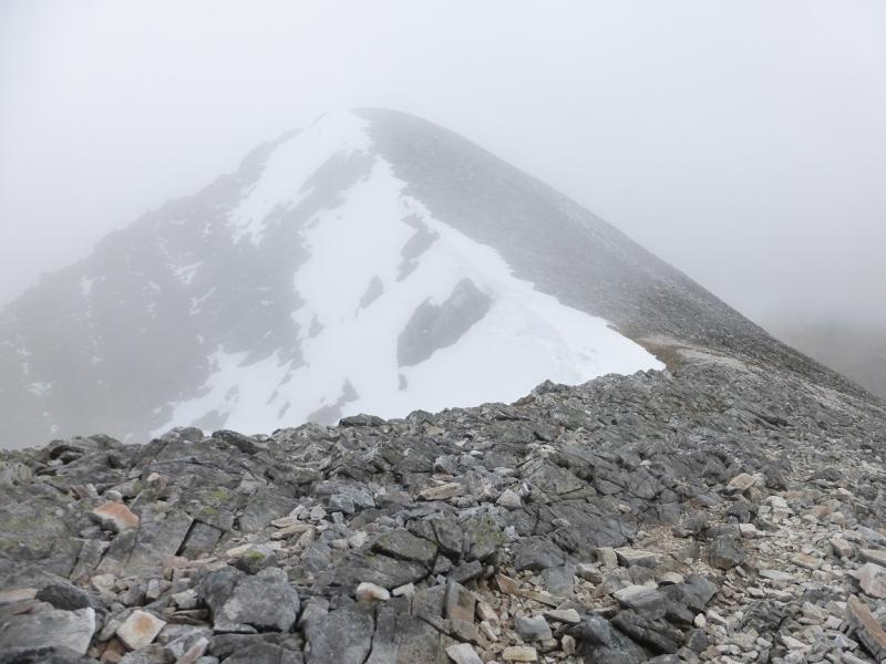
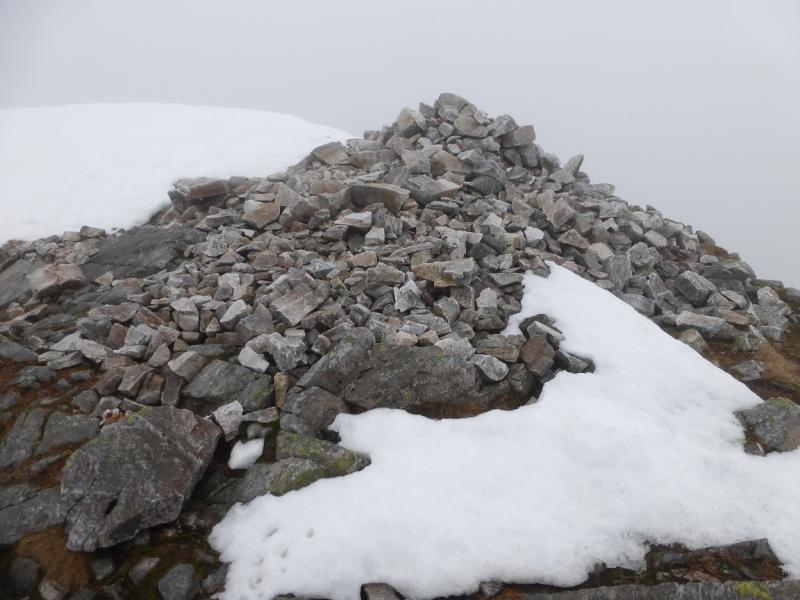
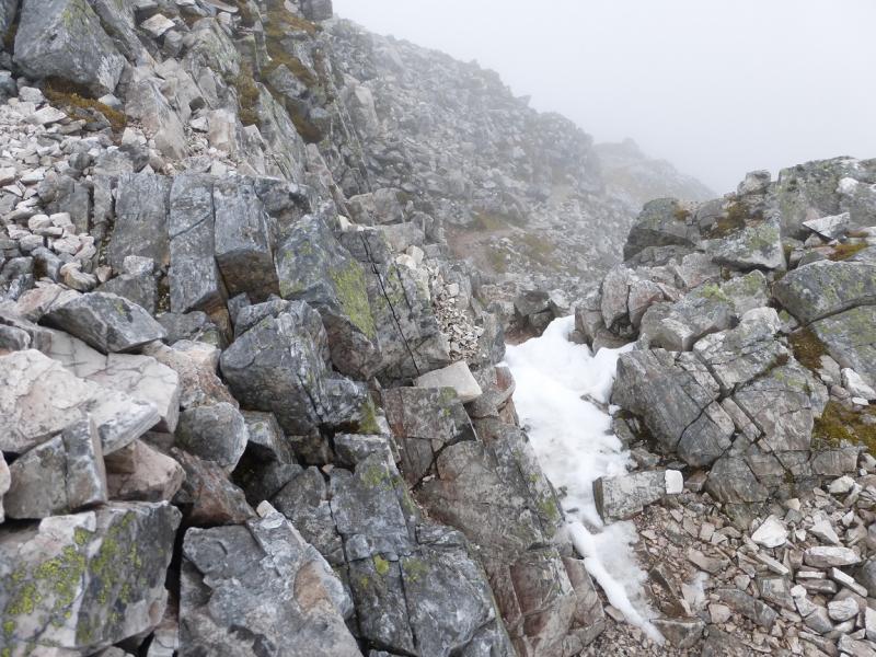
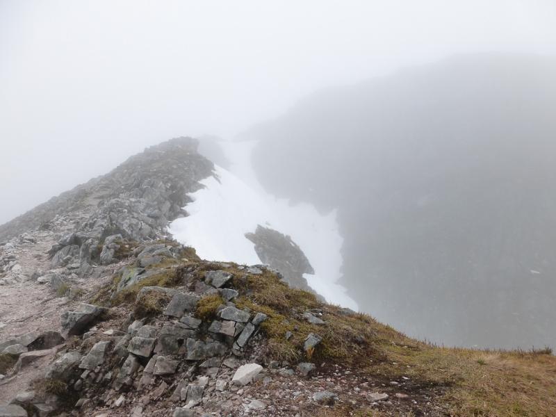
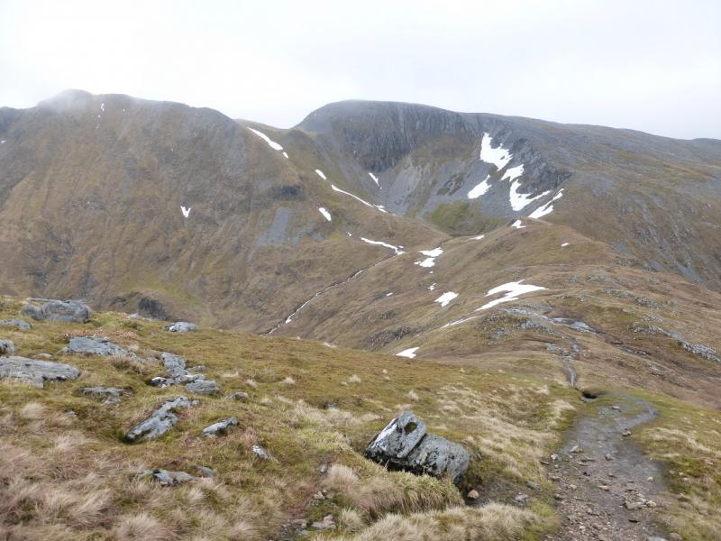
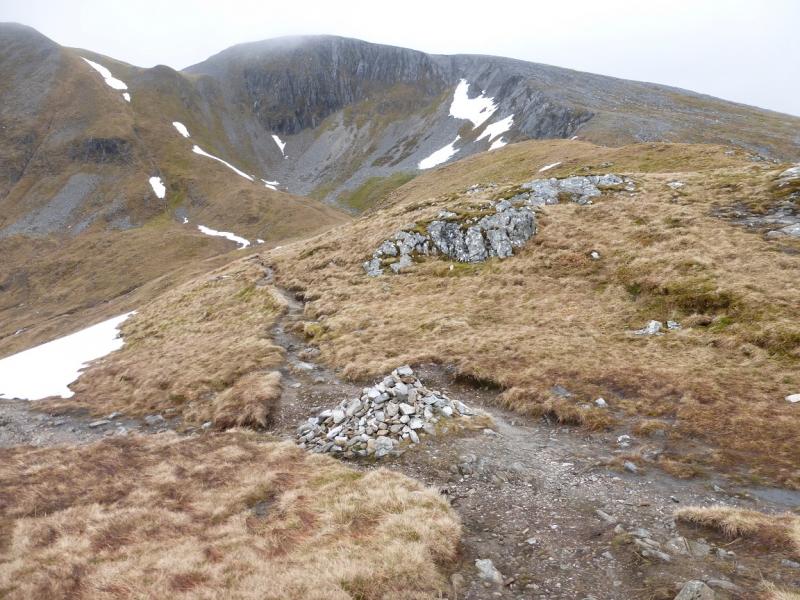
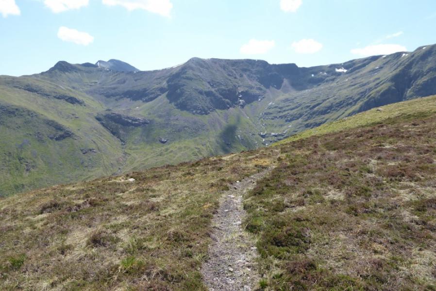
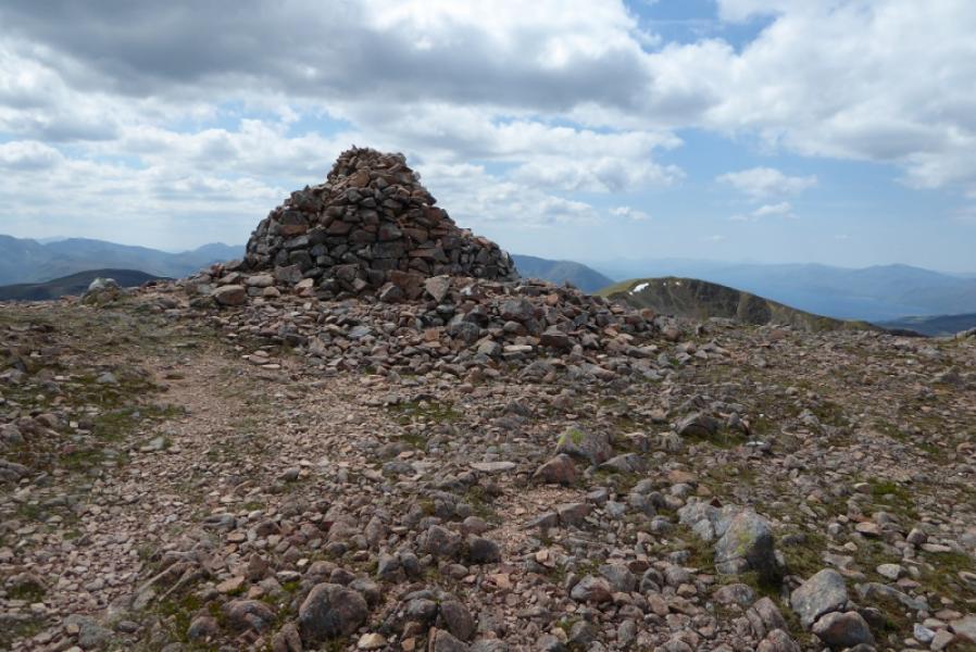
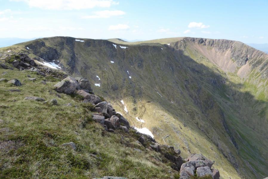
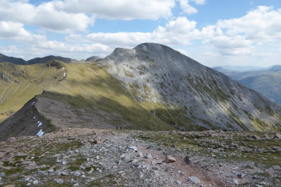
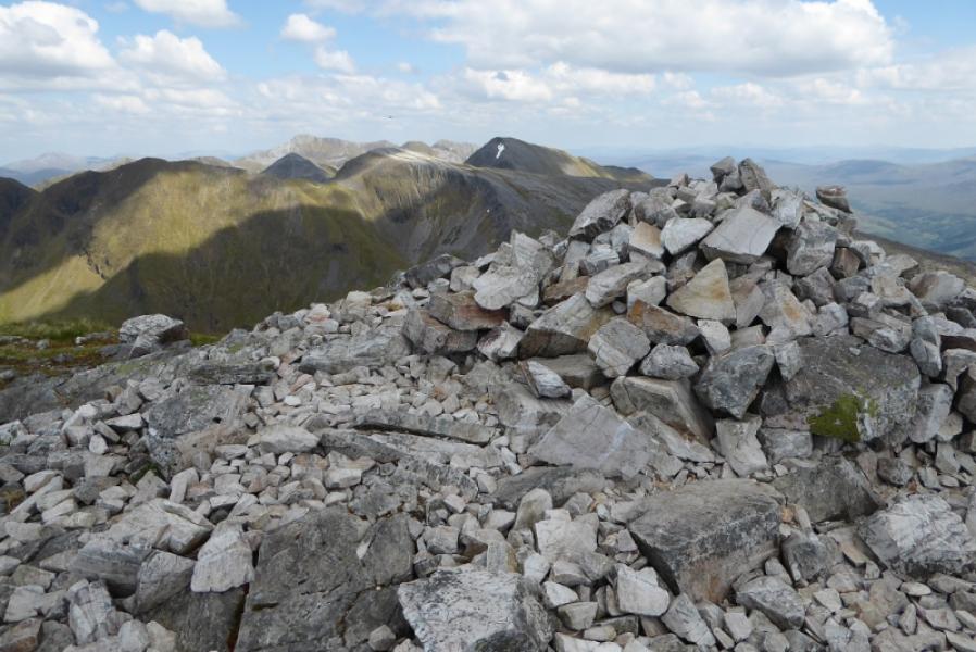
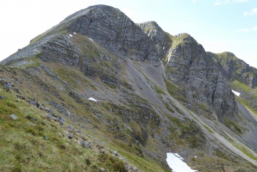
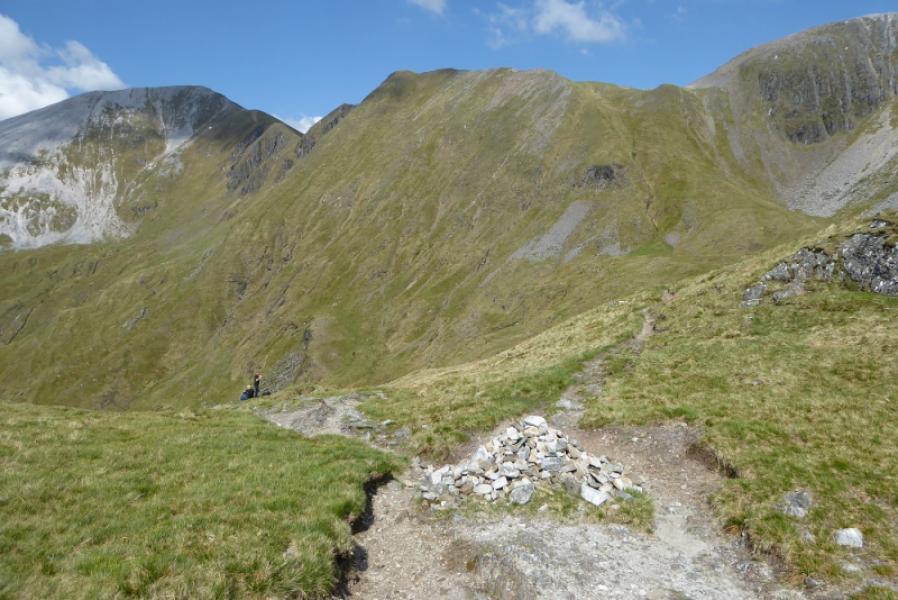
(4) Continue along the crest to a larger cairn where the path descends right then down to a bealach. Climb E then more steeply SE then S to the substantial cairn of Stob Ban, 999 m.
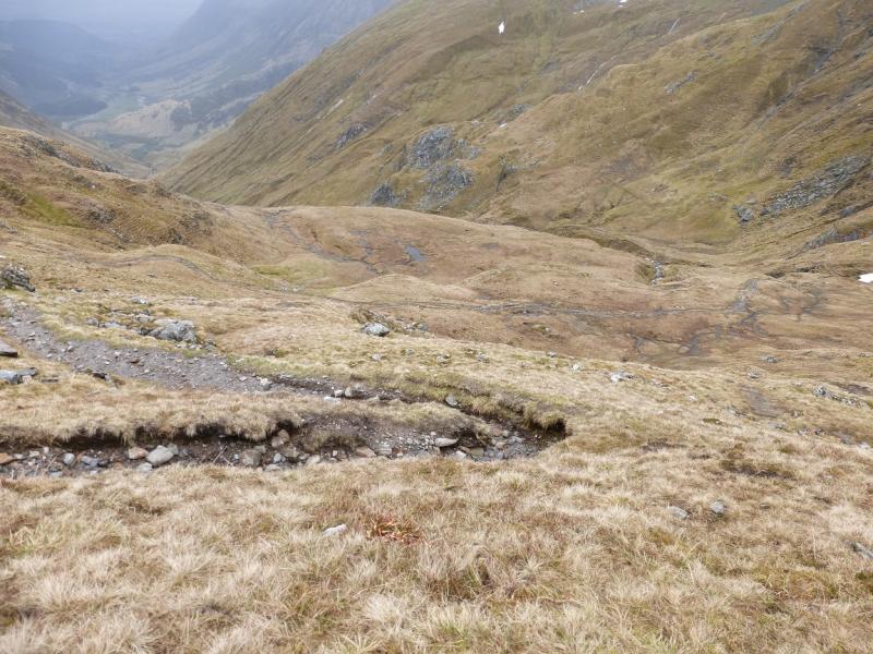
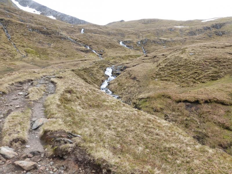
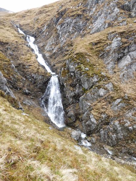
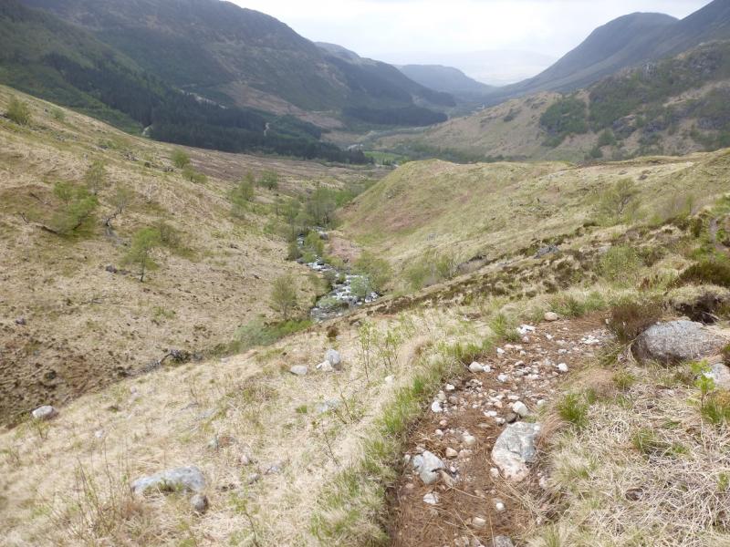
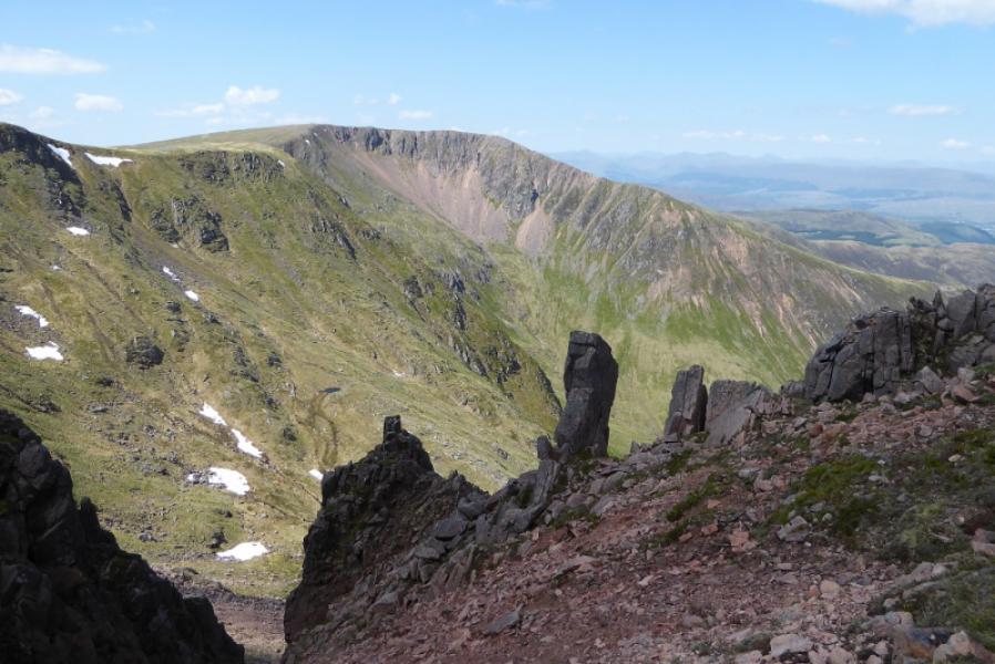
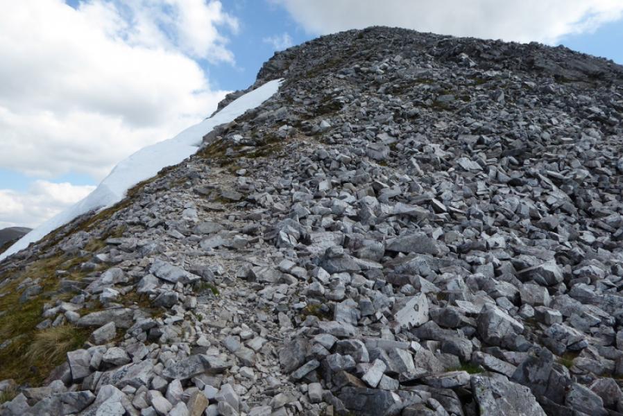
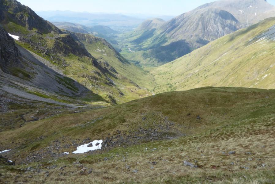
(5) Still following the path, though it is not too obvious from the summit, go E for a few metres to a cairn then take a sharp left to follow a path down the shattered E ridge which leads to grassier slopes. Do not be tempted to descend N on some of the flatter sections. The bealach between Stob Ban and the next peak along the main ridge has a large cairn to mark the start of the descent. If you pass it there is a steep rise and you might spot the lochan at about NN 160 654. From the bealach there is a path which initially descends N then zig-zags. The path is much more obvious after a few metres of descent and follows the Allt Coire a’ Mhusgain down the steep sided glen. In places the path is rough, eroded and boggy but always obvious. This leads down to the Geln Nevis road about 50 m E of the car park.
Notes
(a) This walk took place on 30th May, 2018, and 23rd September, 2009.
(b) In early 2017, there was speculation that Mullach nan Coirean E Top, 916 m, approx NN 138 657, could qualify as a new Munro Top. On 18/10/17, there was a tiny cairn seemingly marking this spot a few metres north of the main path along the crest. On 30/5/18, it seemed that this new top was confirmed. It is only about 5 m, if that, from the main path so adds virtually nothing in time to the route.
Photos - Hover over photo for caption. Click on to enlarge. Click on again to reduce.