Get Lost Mountaineering
You are here: Scotland » 04 Loch Leven and Loch Linnhe to Loch Ericht » Loch Trieg to Loch Ericht & Dalwhinnie
The Fara
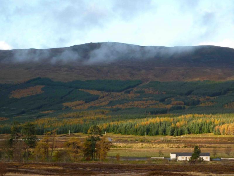
The Fara from Dalwhinnie
Start/Finish
Dalwhinnie Station
Distance/Time
11 km Approx 5 hours
Peaks
The Fara, 911 m, NN 598 843. OS sheet 42.
Introduction
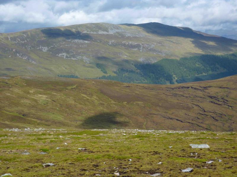
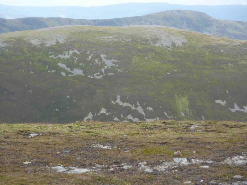
The ridge of The Fara is easily seen from the A9 near Dalwhinnie. As one would expect, it is an ideal viewpoint for the Ben Alder range and other surrounding hills. Although the approach is shared with Ben Alder, a bicycle hardly saves any time.
Route
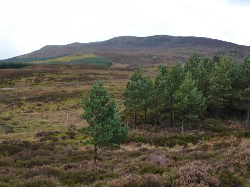
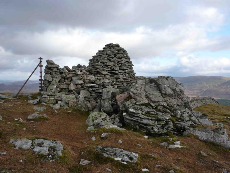
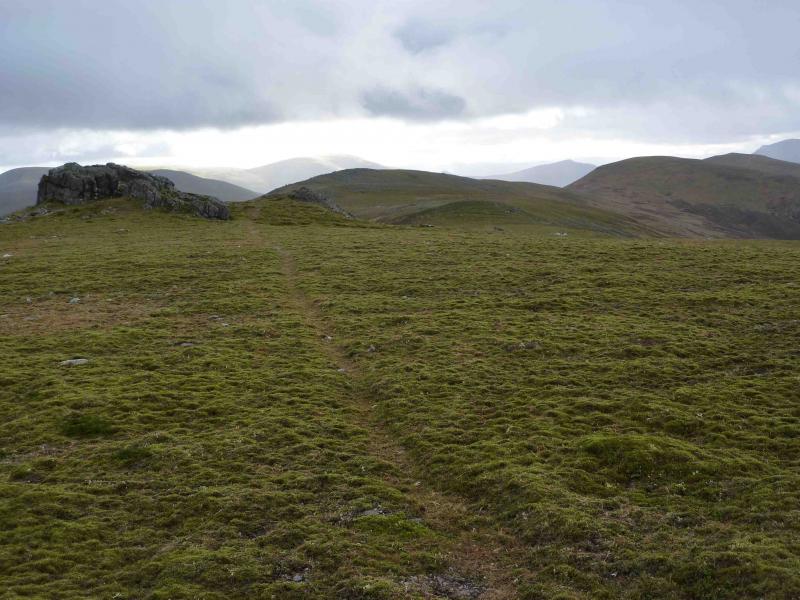
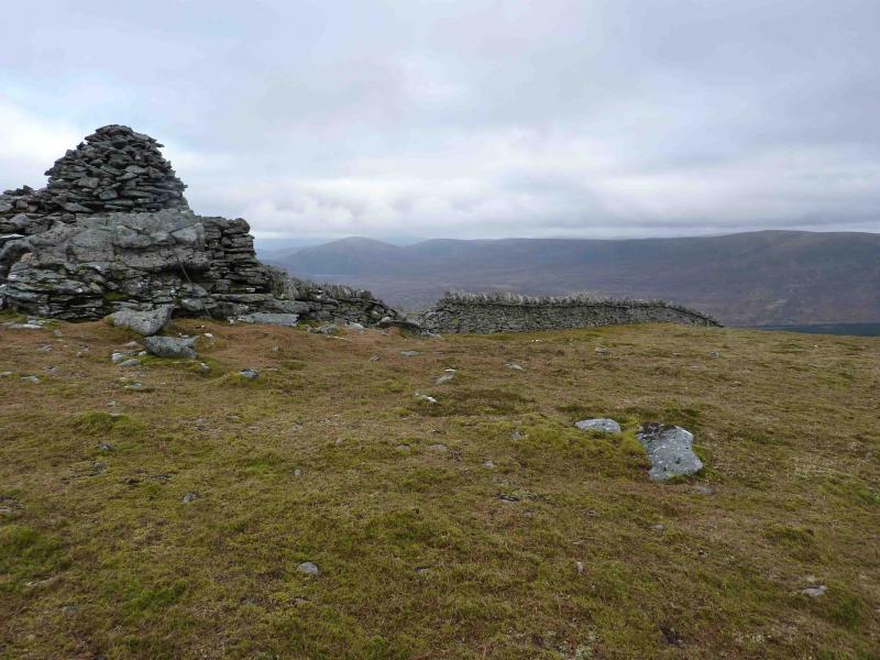
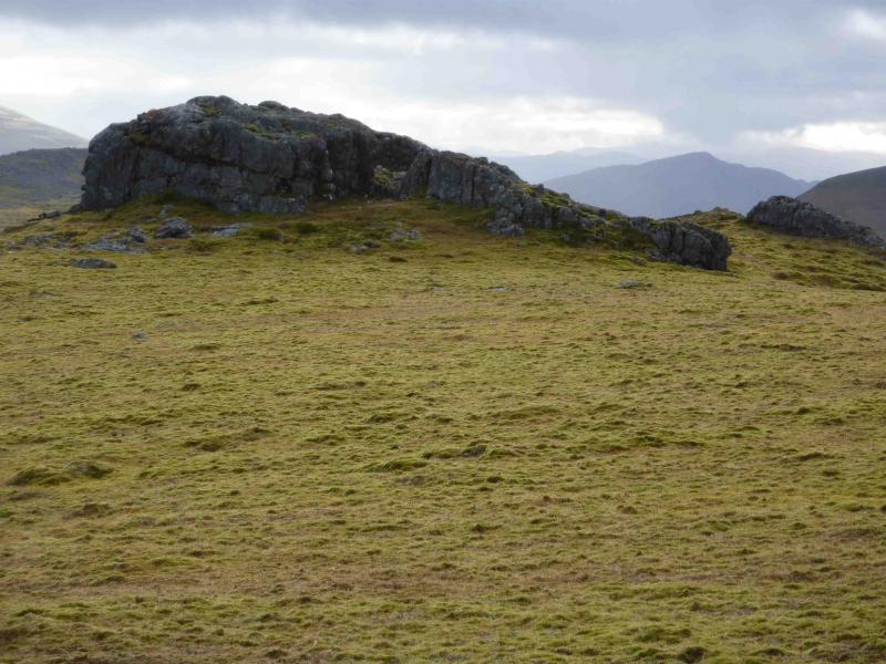
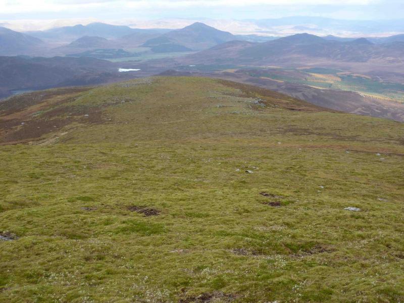
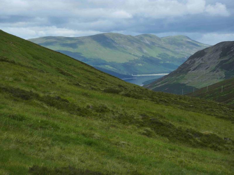
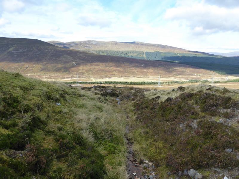
(1) Park at or near Dalwhinnie Station then walk S along the minor road alongside the railway. There is some limited parking about 30 m before the level crossing. Cross the railway and follow the track along the N side of Loch Ericht. After about 2 km, at a building/”castle” after the estate office, there is a wide firebreak with older brown trees at the top. These trees are clearly visible on the approach along Loch Ericht. Go up this grassy fire break. It can be wet and boggy at the bottom, especially going through the gate on the edge of the left forest but after this the going is much kinder, with a reasonable path, although it is quite steep. The angle eases above the trees but the ground becomes rougher and wetter but never excessively so. Above the trees, a line of old fence posts can be followed which become a dry stone wall and leads directly to the large summit cairn of The Fara, 911 m. This may not be the actual summit as there is a significant outcrop, which looks about the same height, about 100 m S along the summit ridge.
(2) Return by route of ascent. It will be noticed that a track goes into the top of the trees on the NE side about 100 m from the fire break. This is not shown on the map but descends to meet the A889 not far N of the distillery and about 2 km from the station. This is a much easier descent than the route of ascent.
Notes
(a) This walk took place on 15th November, 2009.
(b) For those wishing to explore, a route from the A899 which follows the Allt an t-Sluie (good track) to the S of Meall nan Eagan where the N flank of The Fara boasts some impressive gorges which can be explored before ascending its N ridge. The ascent of the Graham: Meall Nan Eagan could easily be incorporated into such a walk. There is a separate route listed, called “Meall nan Eagan and The Fara” which includes both hills and the impressive ravine known as the Dirc Mhor.
Photos - Hover over photo for caption. Click on to enlarge. Click on again to reduce.