Get Lost Mountaineering
You are here: England » Humberside and Holderness Coast
Garton from Tunstall Holiday Park
Garton from Tunstall Holiday Park
Start/Finish
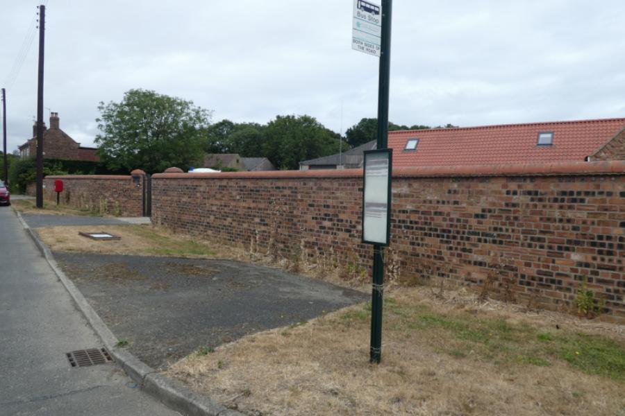
Garton bus stop which is in a layby by a high wall on the main road. The bus will usually drop you off at the entrance to Tunstall Holiday Park otherwise you may have to get off inside the Holiday Park then walk back to the entrance.
Distance/Time
8 km About 3 - 4 hours
Peaks
No peaks as this is essentially a seaside walk.
Landranger 107, Kingston Upon Hull
A map isn't really needed for this walk as navigation is simple and straightforward.
Introduction
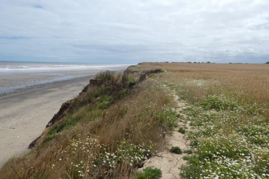
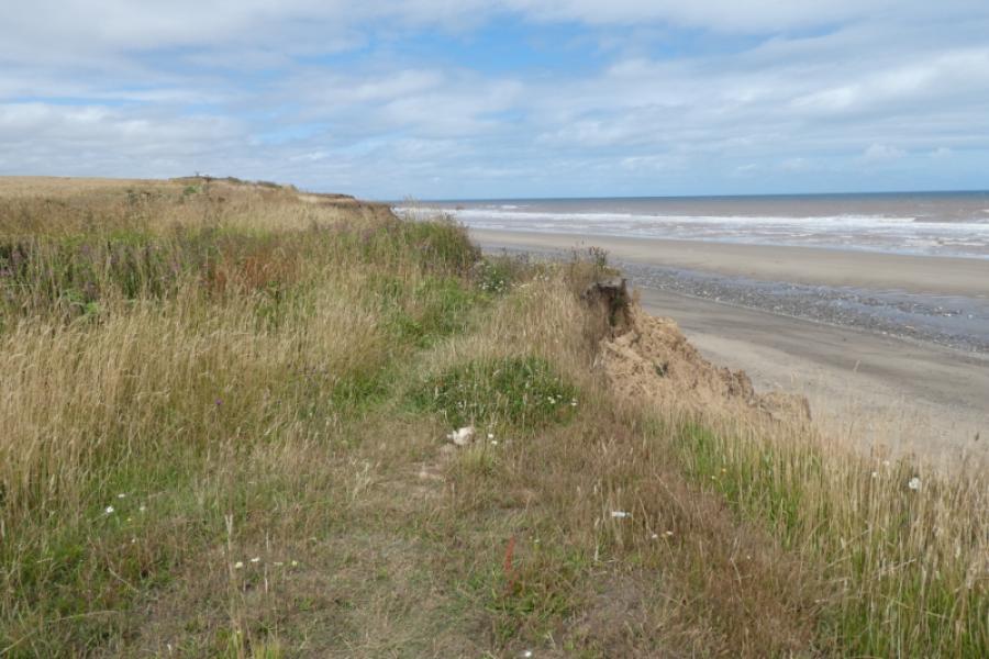
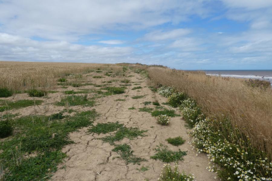
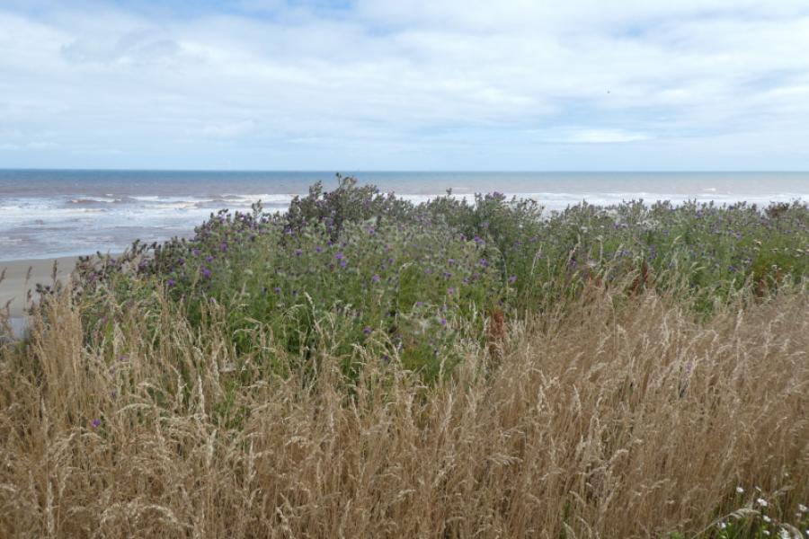
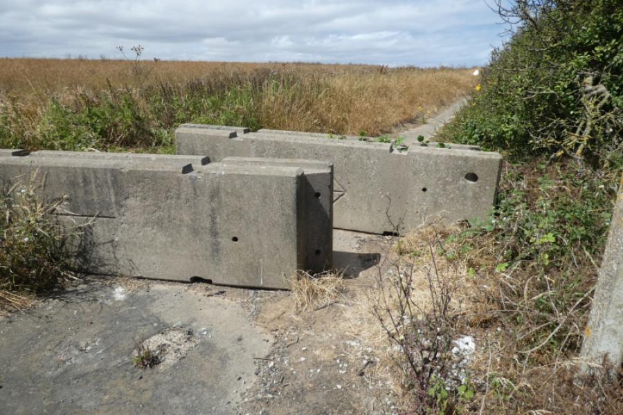
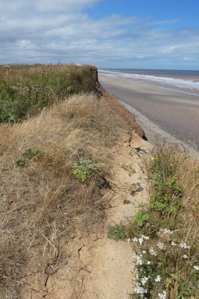
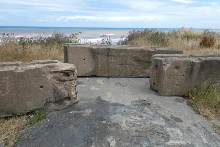
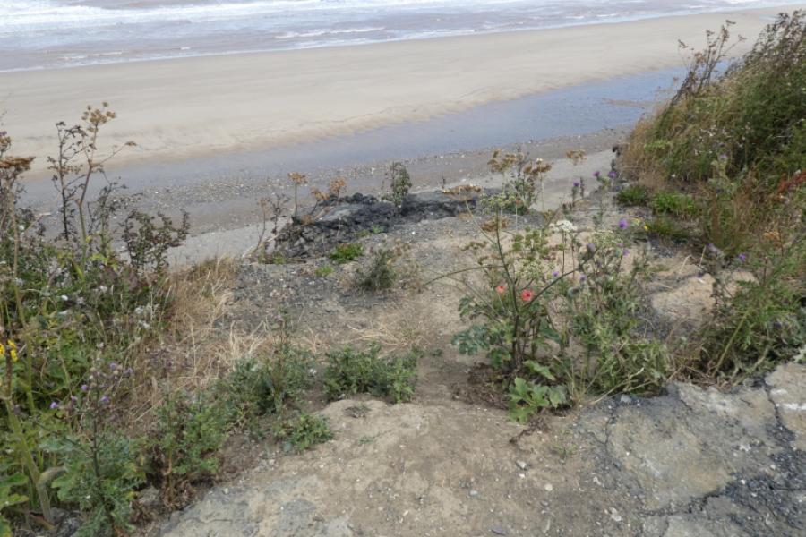
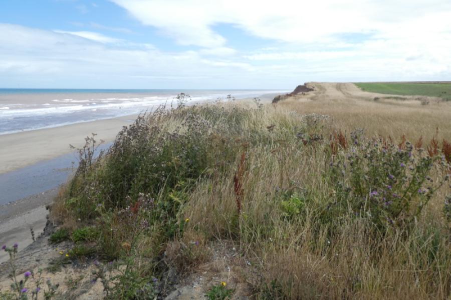
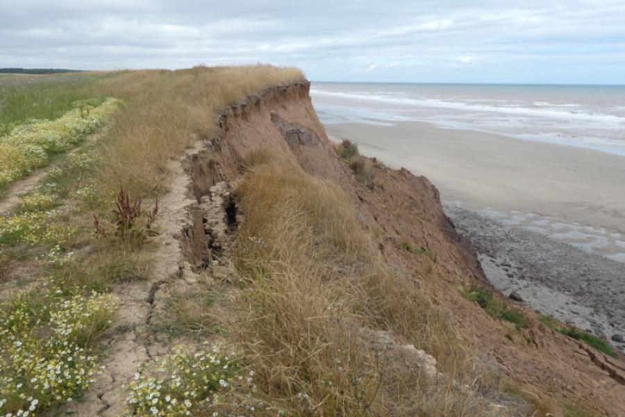
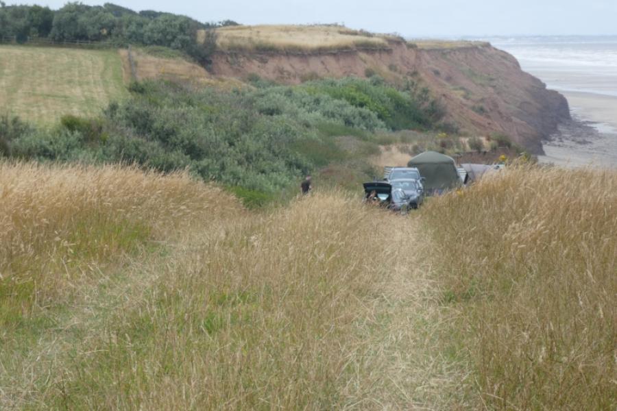
This an almost level walk although the ground can be rough in places. The view from the cliffs is very similar throughout with few points of interest apart from coastal erosion and large rocks on the shoreline. There are few easy routes down the cliffs to the shore as the cliffs are steep and very crumbly. The coastal erosion is starting to create some new bays. Much of the route follows the King Charles III Coastal Path. Unfortunately, this route includes about 3.5 km of road walking away from the coast so a second car or friendly driver would be very useful here. The walk back to Garton from Moat Farm is 2 km which would have to be repeated on the next walk north. The walk inland to and from Garton totals about 4 km and it is only about 5 km from Moat Farm to Aldbrough where the bus stop is close to the cliff top sos ome may wish to combine this stage with the one from Garton to Aldbrough so missing out Garton altogether. Some may even opt for a much longer section from Withernsea “Castle” to Aldbrough which only adds about 2 – 3 km and has easy access to the bus at each end.
Route
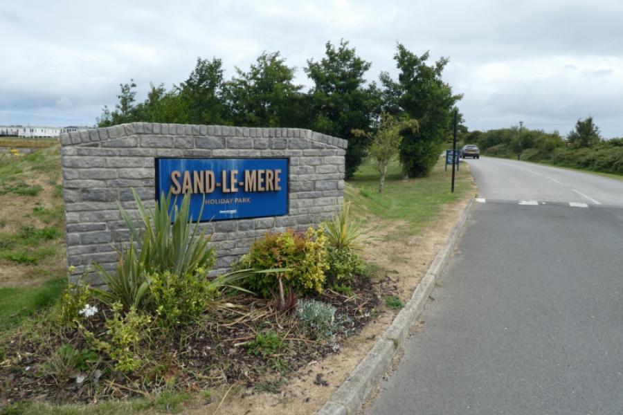
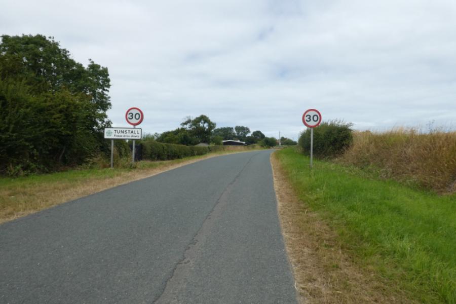
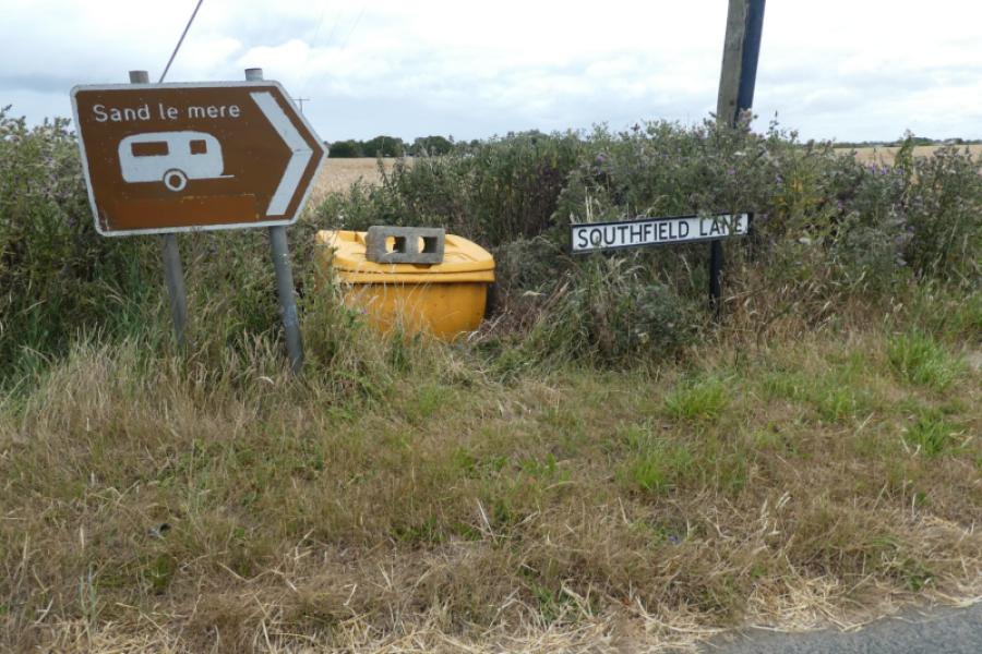
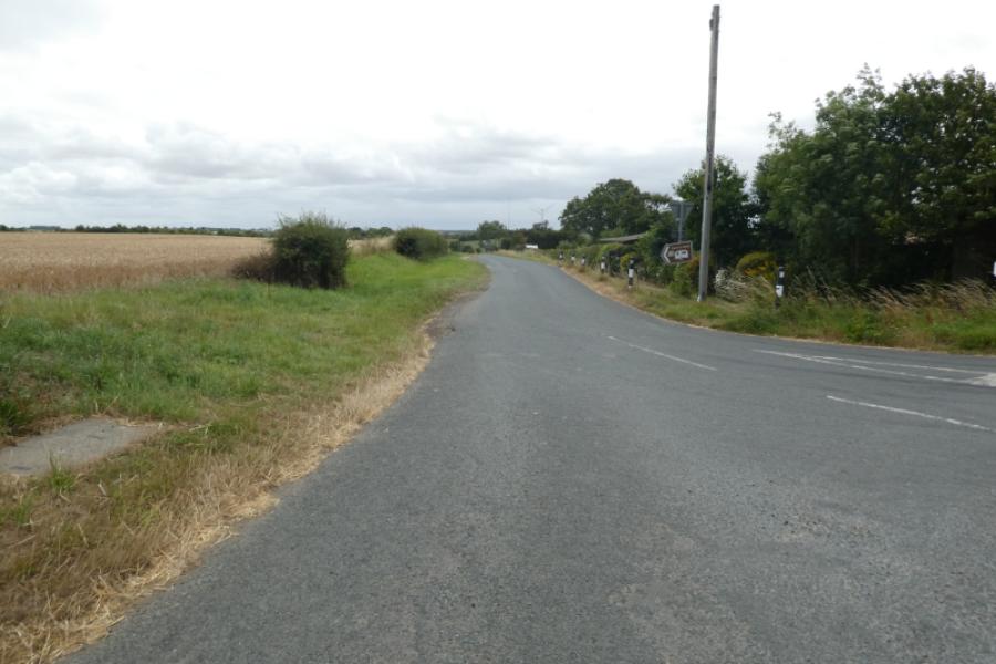
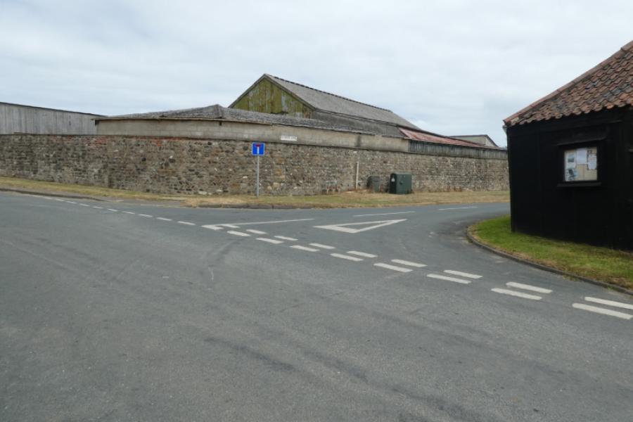
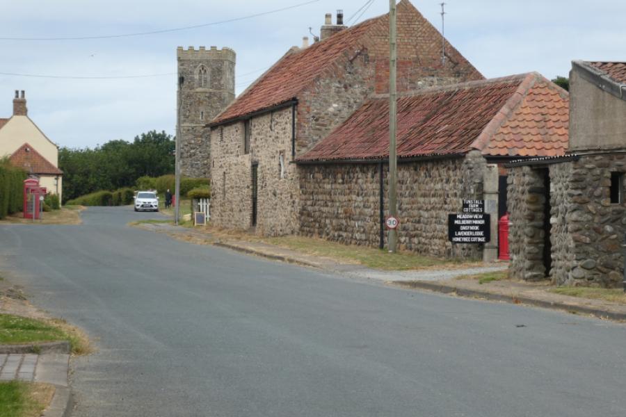
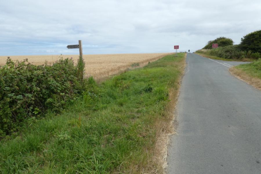
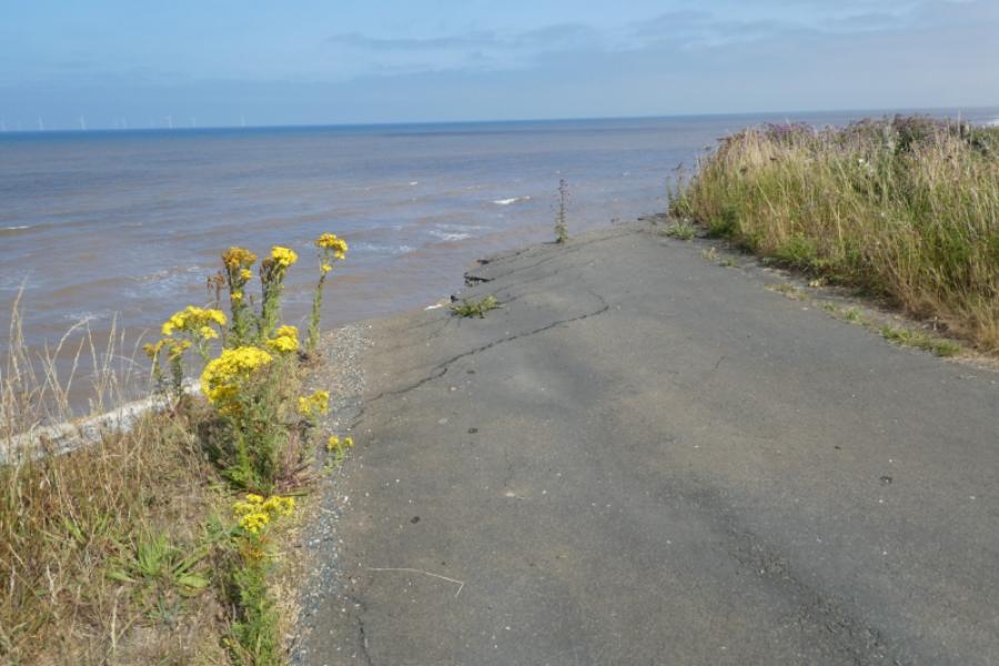
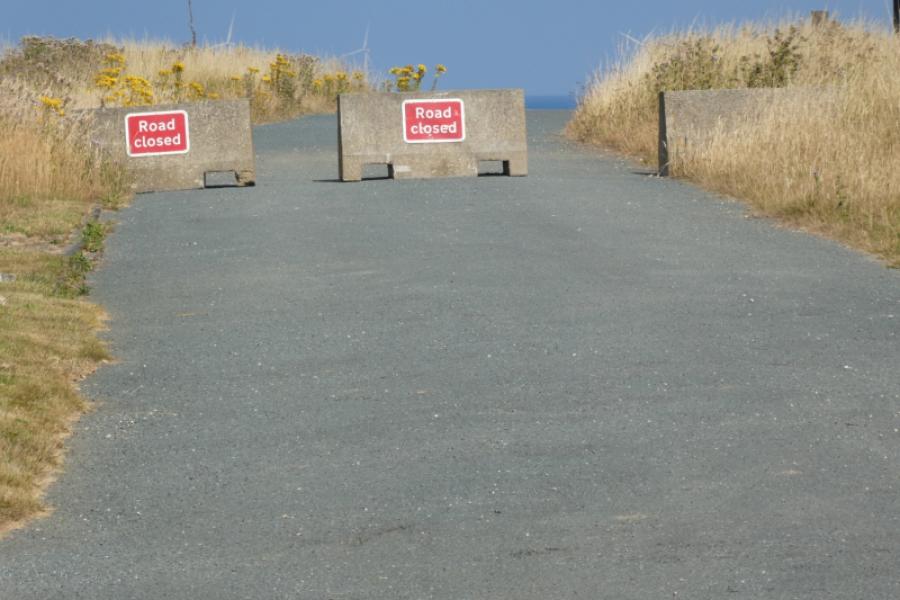
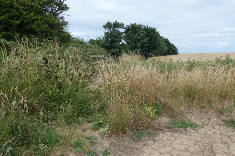
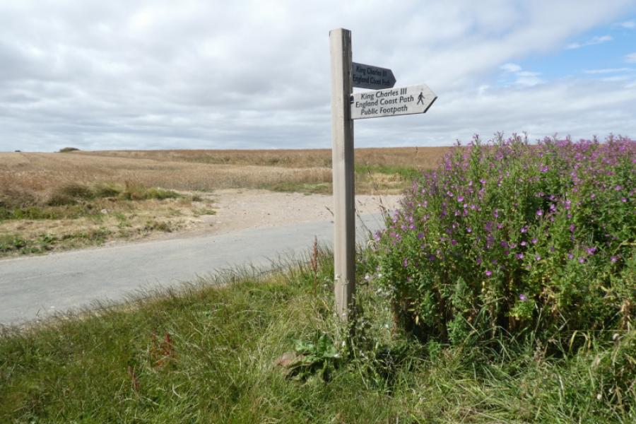
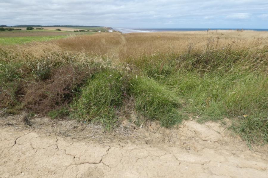
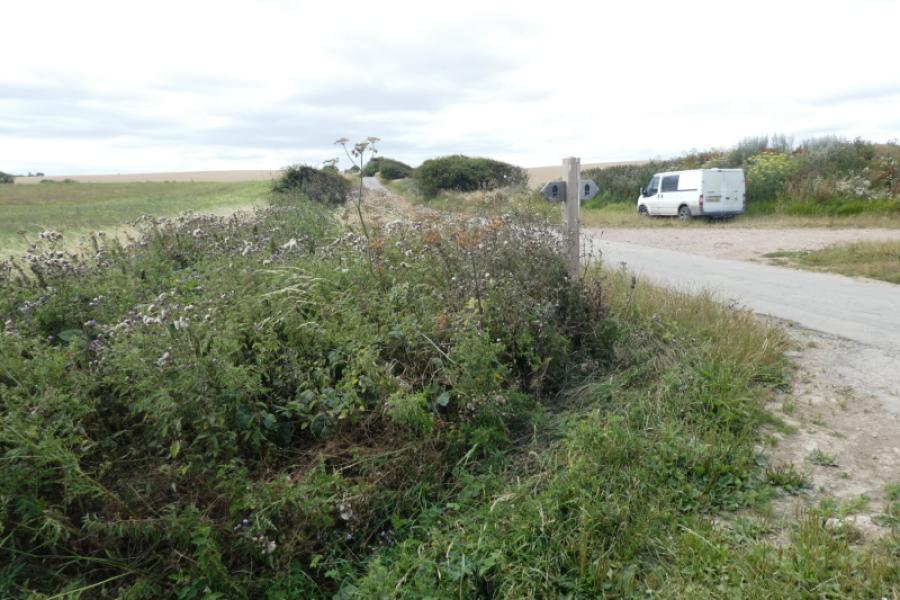
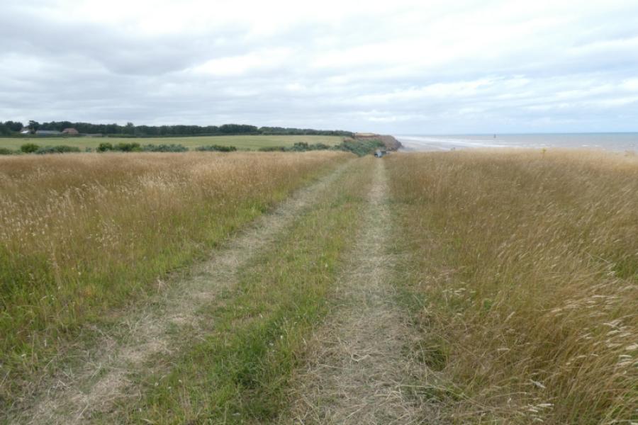
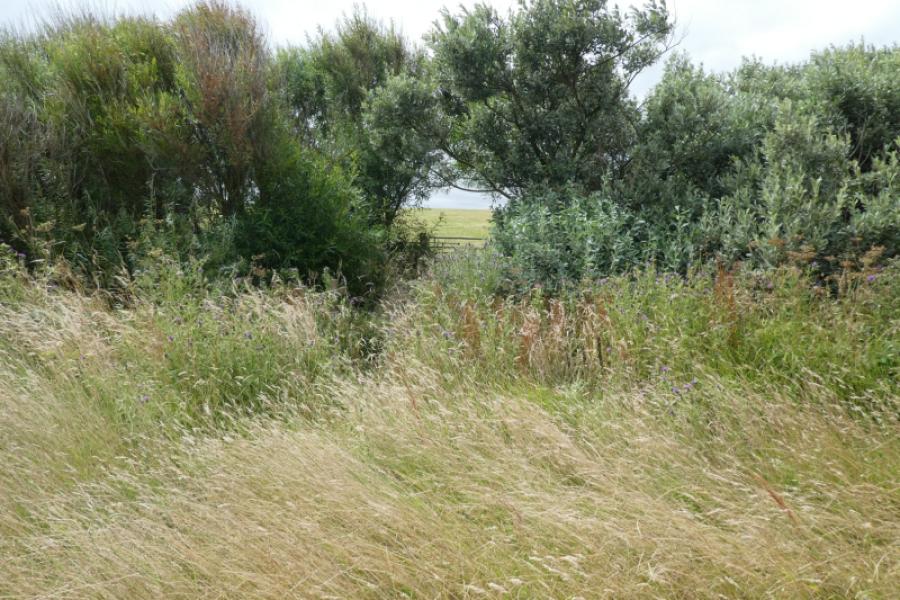
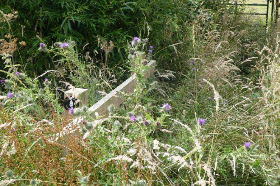
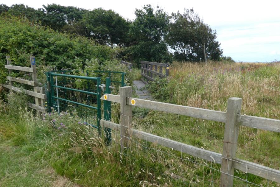
(1) From the entrance to Sand le Mere Holiday Park, south of Tunstall, follow Southfield Lane to reach Tunstall village then turn right onto Seaside Lane. Do not be tempted to access the coastal path through the Holiday Village as you will then have to negotiate the lengthy detour mentioned in the walk from Withernsea to Tunstall. On Seaside Lane, look for the sign marking where the coastal path goes north which is before you reach the minor road on the right. If you haven't done it before, it is well worth walking to the end of Seaside Lane where the road goes over the cliff before retracing back to the start of the path. Follow the path easily although there is an almost hidden bridge to cross over before reaching the cliff top. Reach Monkwith road which now also goes over the cliff owing to coastal erosion. Continue to reach the road to Hilston where there is a rough car park. This road also goes over the cliff edge.
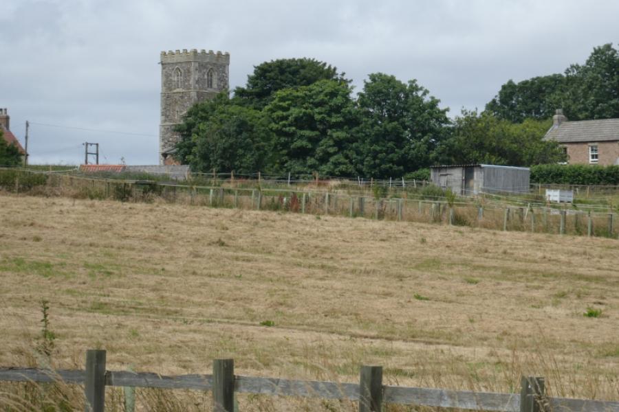
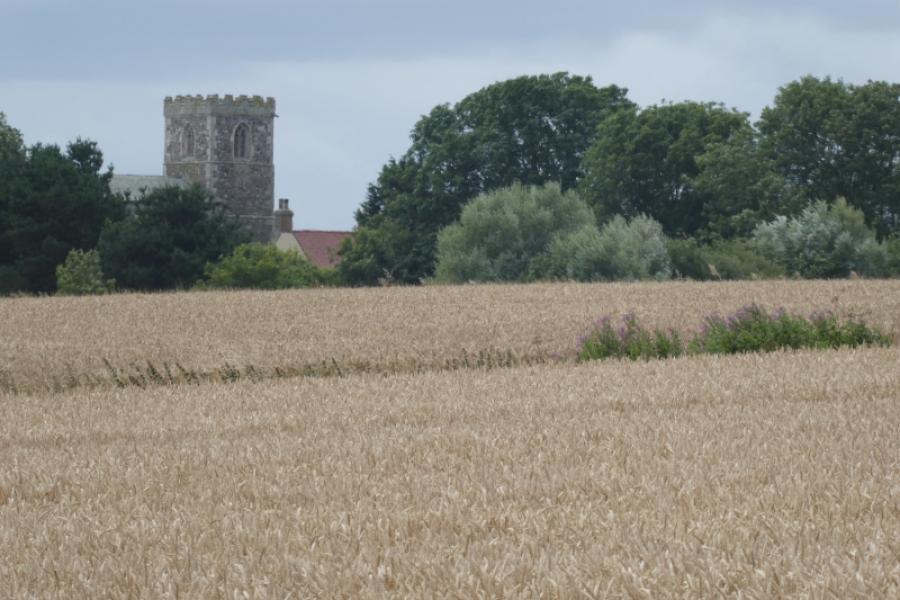
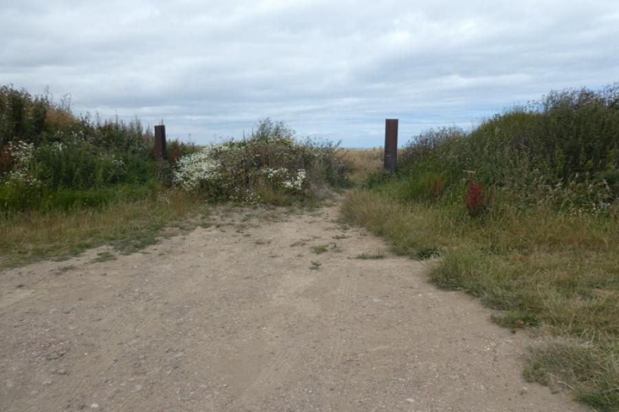
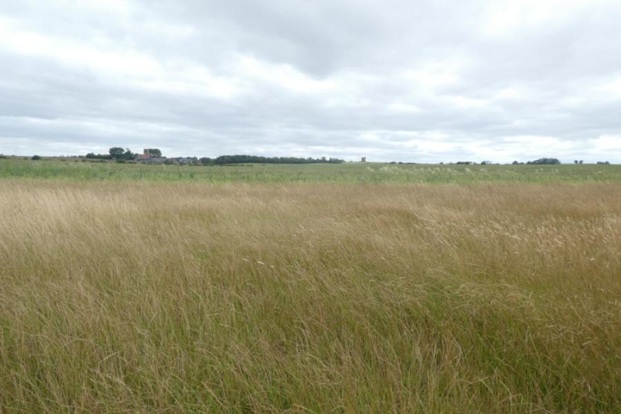
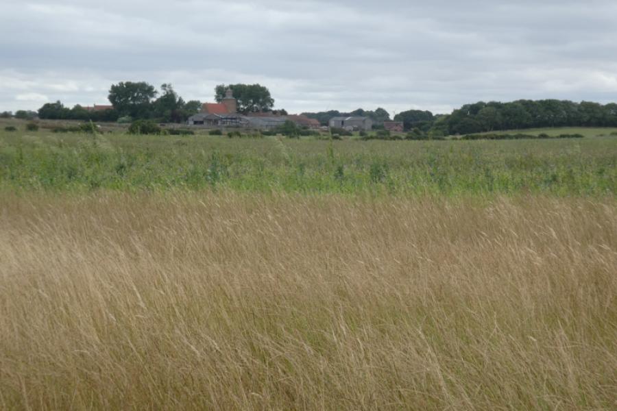
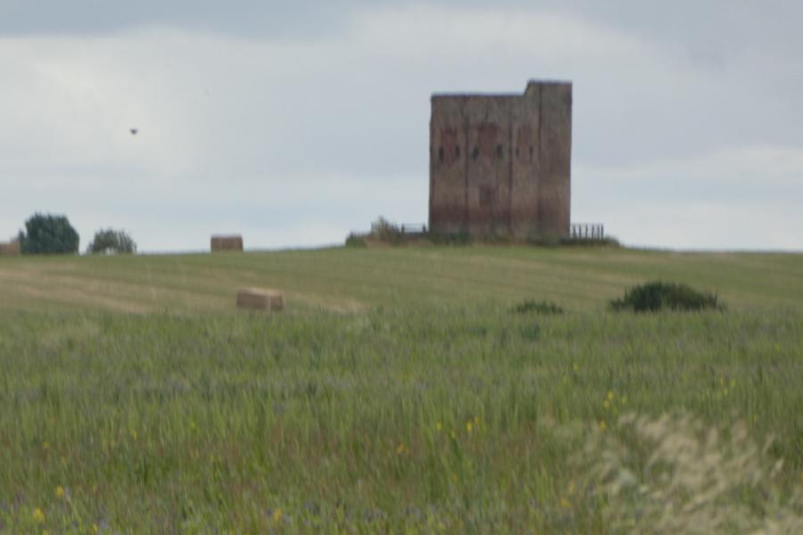
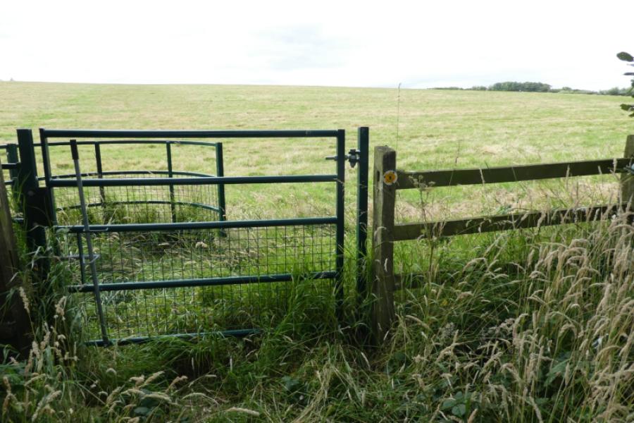
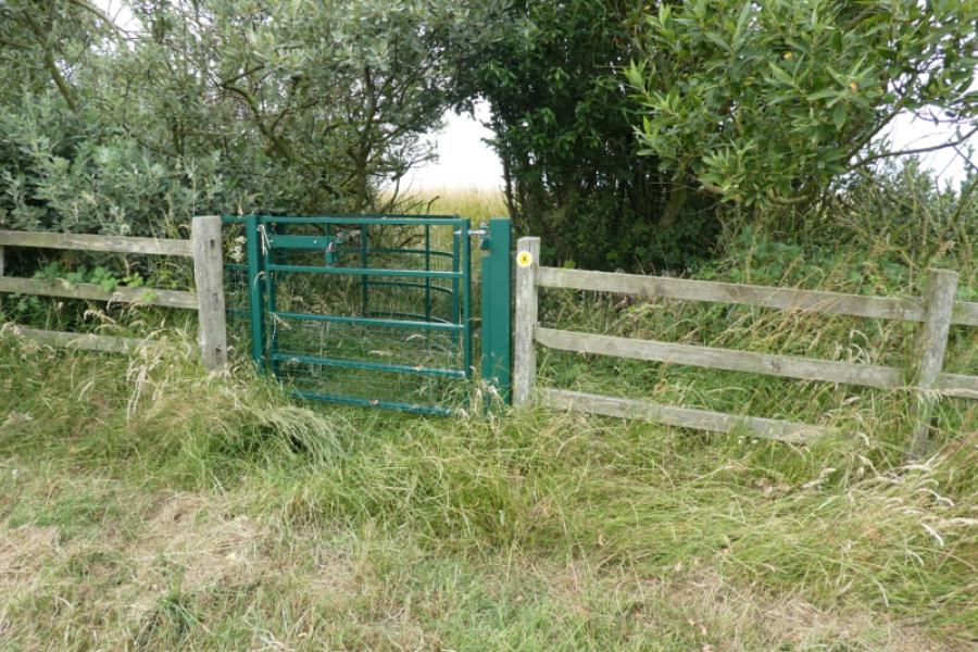
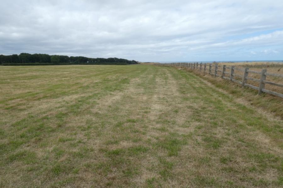
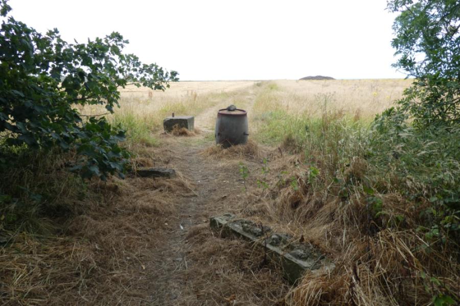
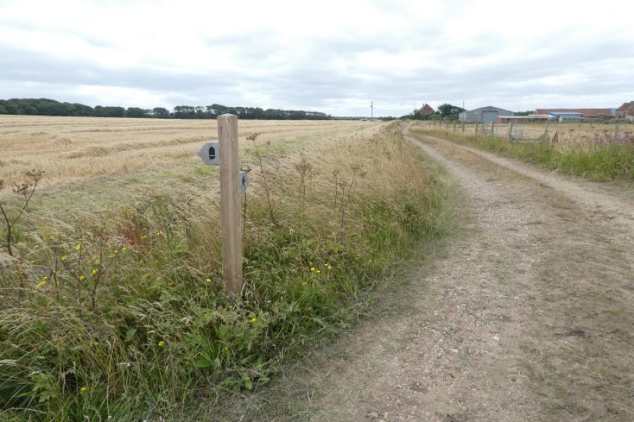
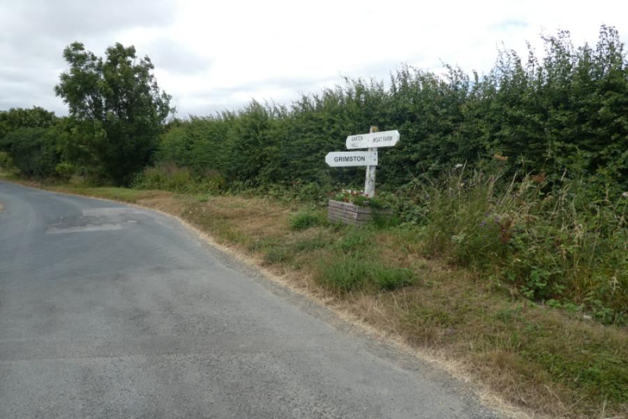
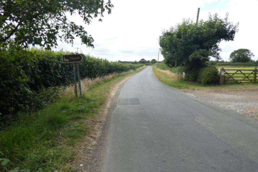
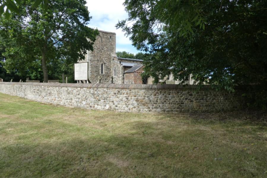
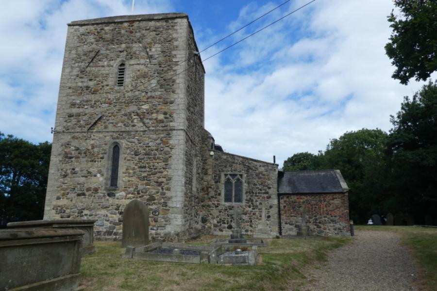
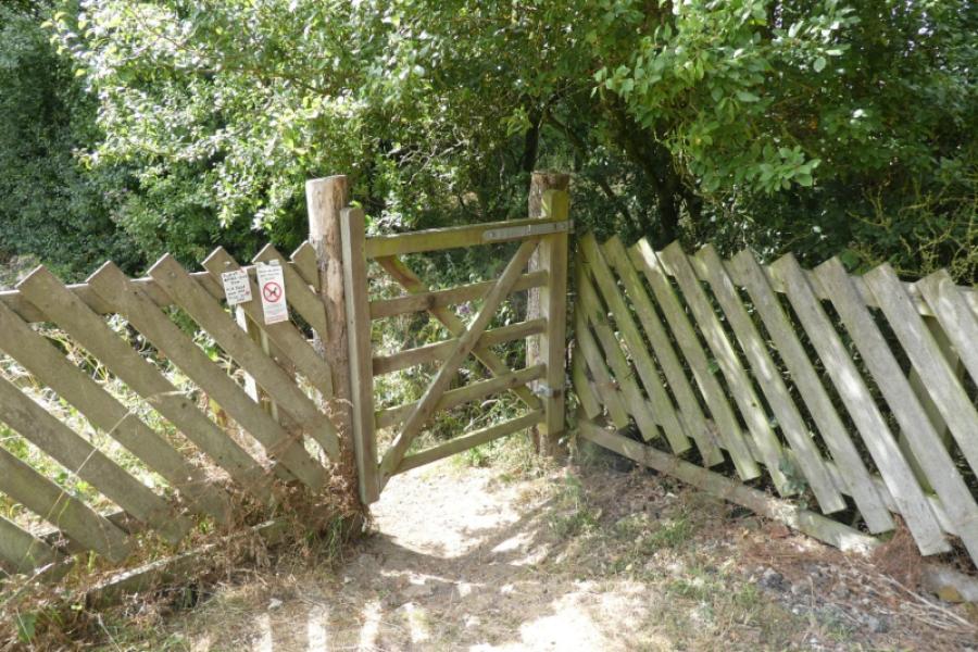
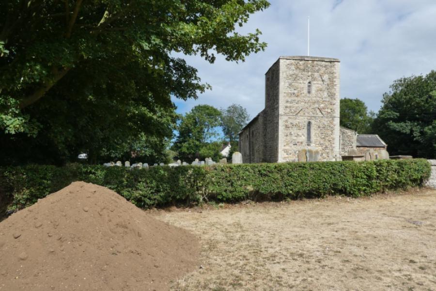
(2) Continue north. Hilston village is well set back then Storr's Tower is seen just after. When the path/track dips and ends on a plateau, go left and look for a gate, after a hidden bridge, through the trees into the field behind. This is another consequence of coastal erosion. Continue along the edge of the field and the following fields until you reach a footbridge just after a gate. Follow the path inland through the wood until you reach a rough track. Go right, north, and follow the track until it meets a much better track near Moat Farm. Follow the track, then road, past Moat Farm then pass the T junction for Grimston. Eventaully reach the sign for Garton Church and walk up to this pleasant old church. From the parking area, go through the gate onto a footpath which soon joins a track and leads back onto the road. Continue to the main road then turn right and soon reach Garton village.
Notes
(a) This walk took place on 18th July, 2026.
Photos - Hover over photo for caption. Click on to enlarge. Click on again to reduce.