Get Lost Mountaineering
You are here: England » Humberside and Holderness Coast
Tunstall Holiday Park from Withernsea Central Promenade
Tunstall Holiday Park from Withernsea Central Promenade
Start/Finish
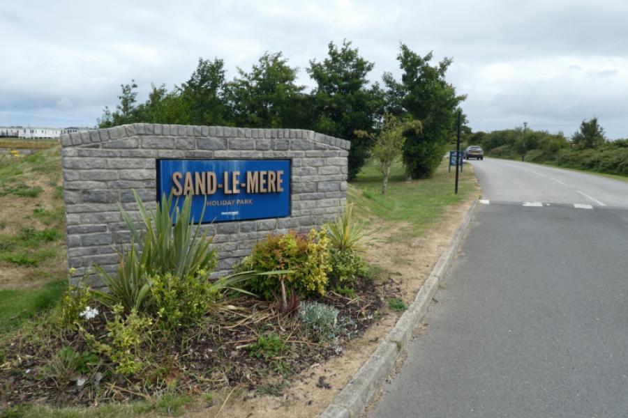
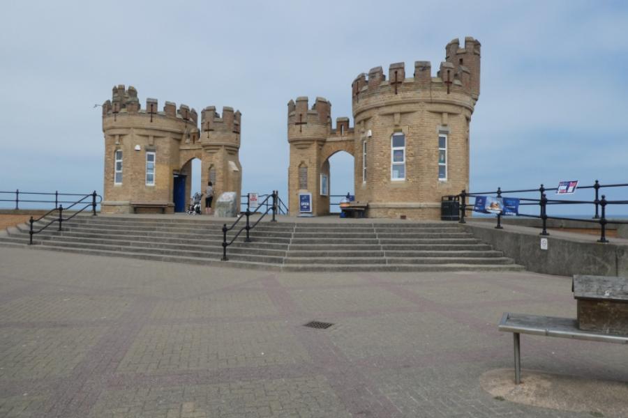
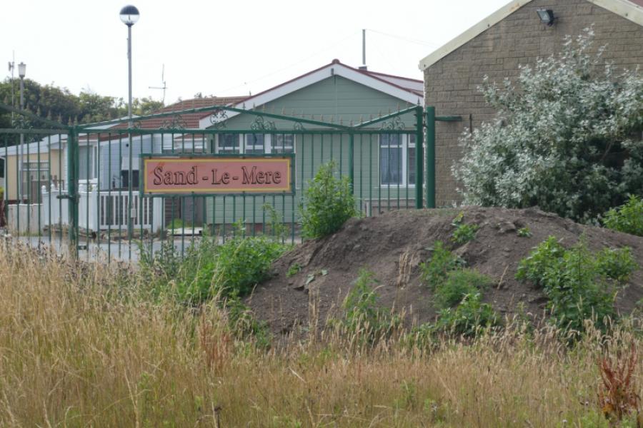
Withernsea Central Promenade by the “Castle” which is close to the bus stop if using the bus from Tunstall Holiday park. The buses are infrequent so times need checking beforehand. The best place to catch the bus to Withernsea is from the entrance to the Sand le Mere Holiday Park just to the south of Tunstall. This is not an offical stop so check the bus will stop for you. The official stop is someway inside the Holiday park
Distance/Time
8 km About 3 - 4 hours
Peaks
No peaks as this is essentially a seaside walk.
Landranger 107, Kingston Upon Hull
A map isn't really needed for this walk as navigation is simple and straightforward.
Introduction
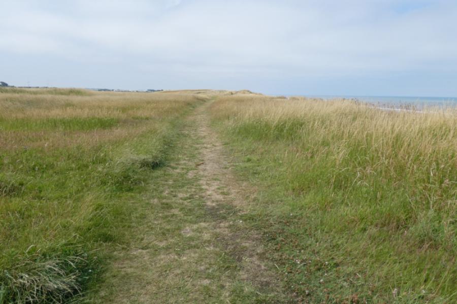
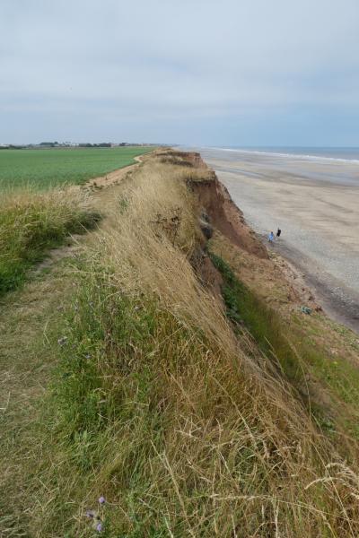
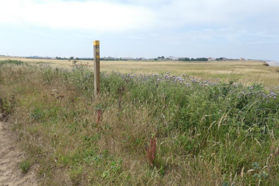
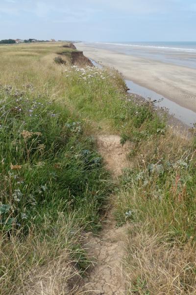
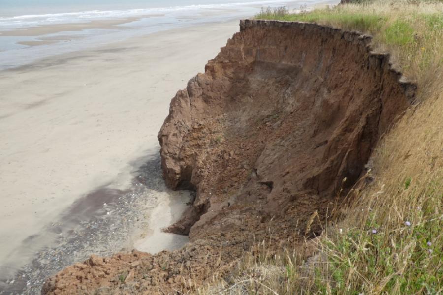
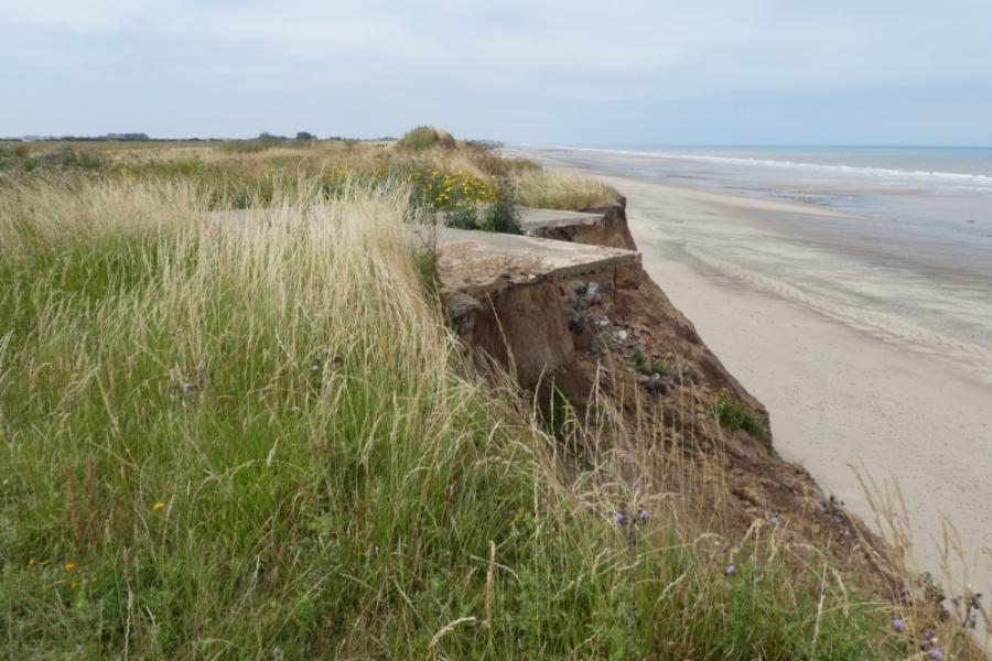
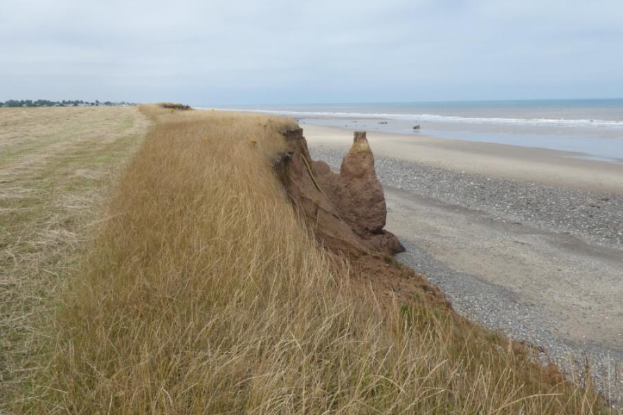
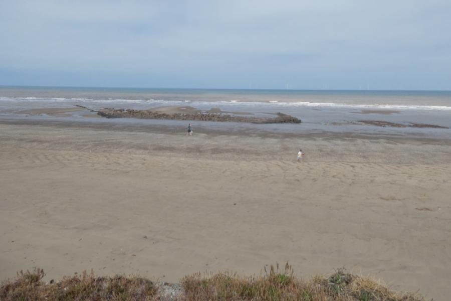
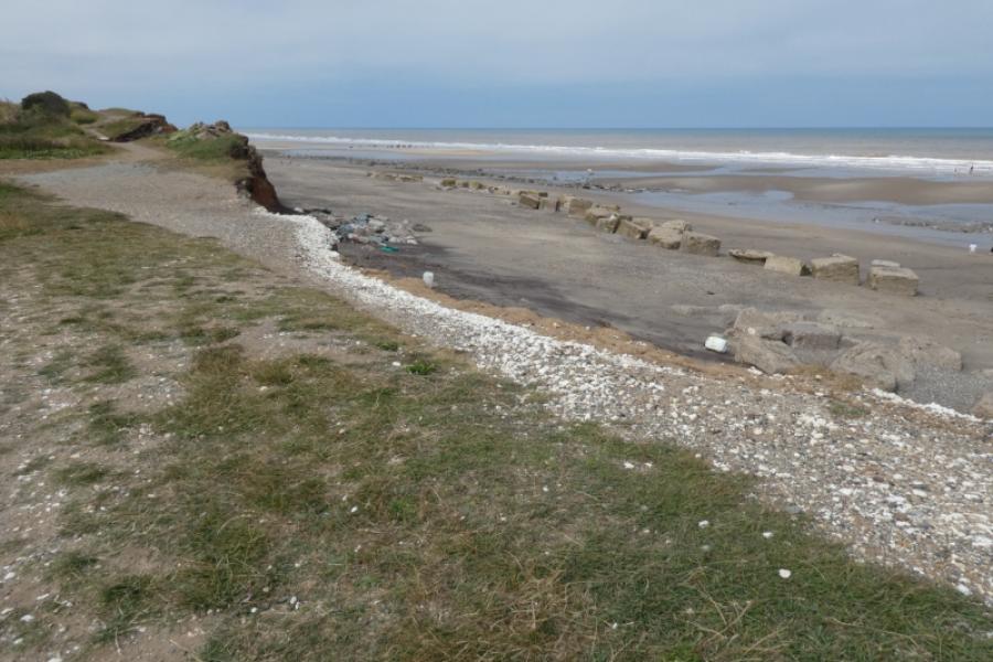
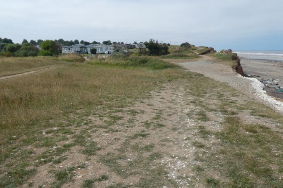
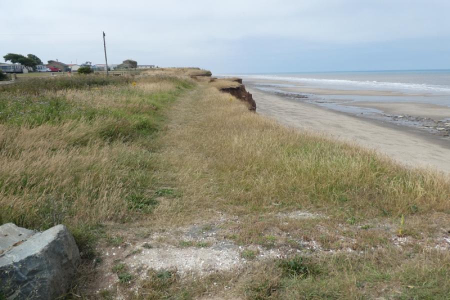
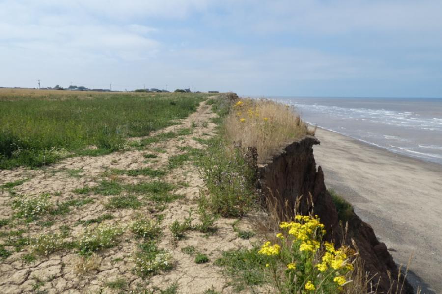
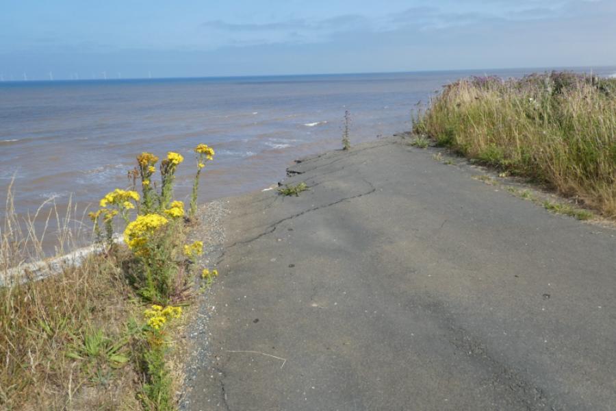
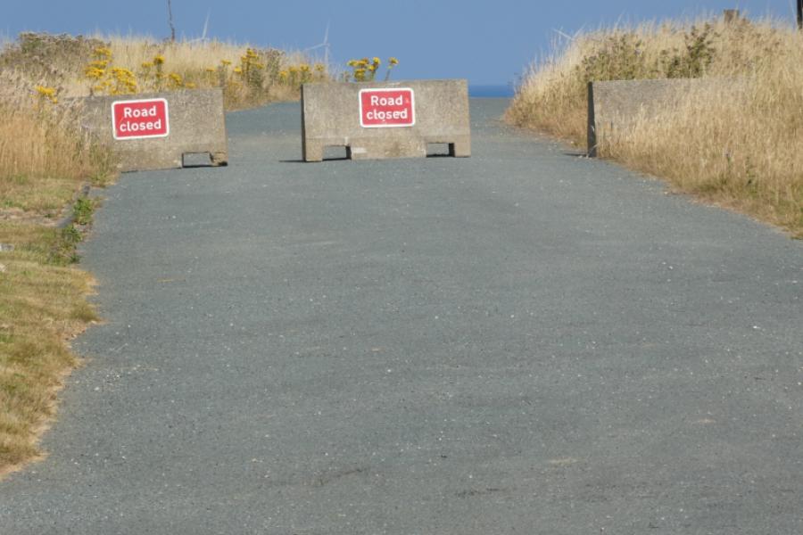
This an almost level walk although the ground can be rough in places. The view from the cliffs is very similar throughout with few points of interest apart from coastal erosion and large rocks on the shoreline. There are few easy routes down the cliffs to the shore as the cliffs are steep and very crumbly. The coastal erosion is starting to create some new bays. Much of the route follows the King Charles III Coastal Path but there is a long diversion inland (over 1 km) to the north of the Holiday Park where the coastal road, Seaside Lane, has now collapsed into the sea. There is a signed, shorter diversion at Waxholme but, currently, it is possible to stay on the cliff top although the going is quite rough for a short distance. It is well worth walking to the end of Seaside Lane, Tunstall, where the road literally goes over the cliff.
Route
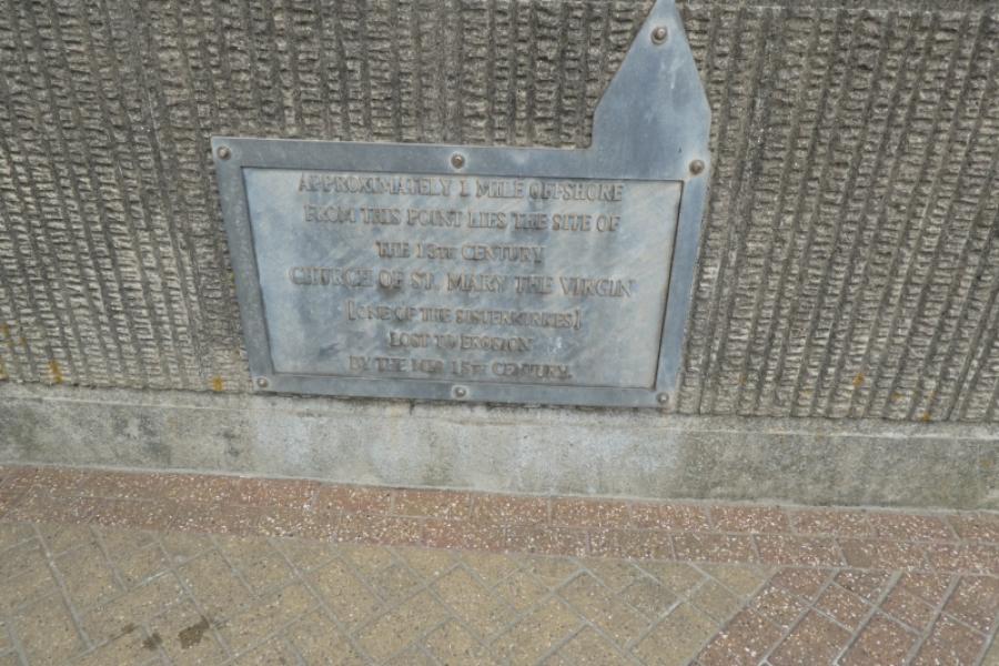
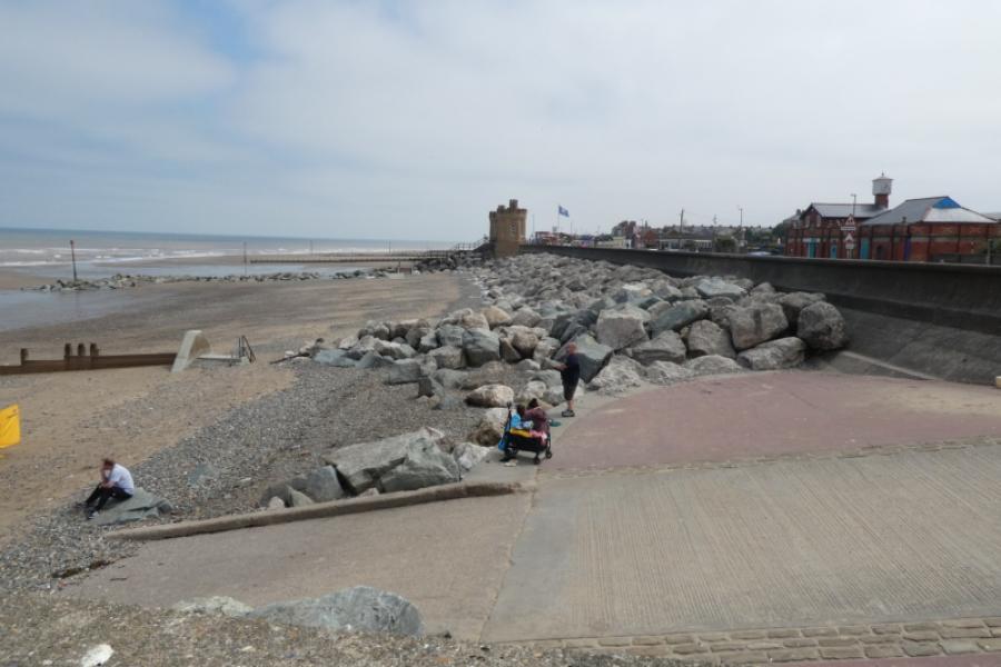
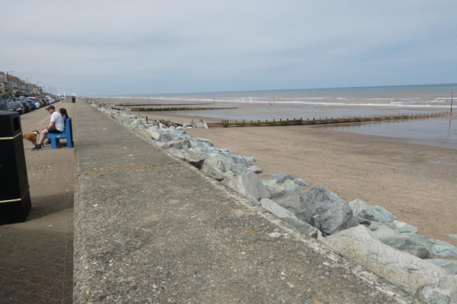
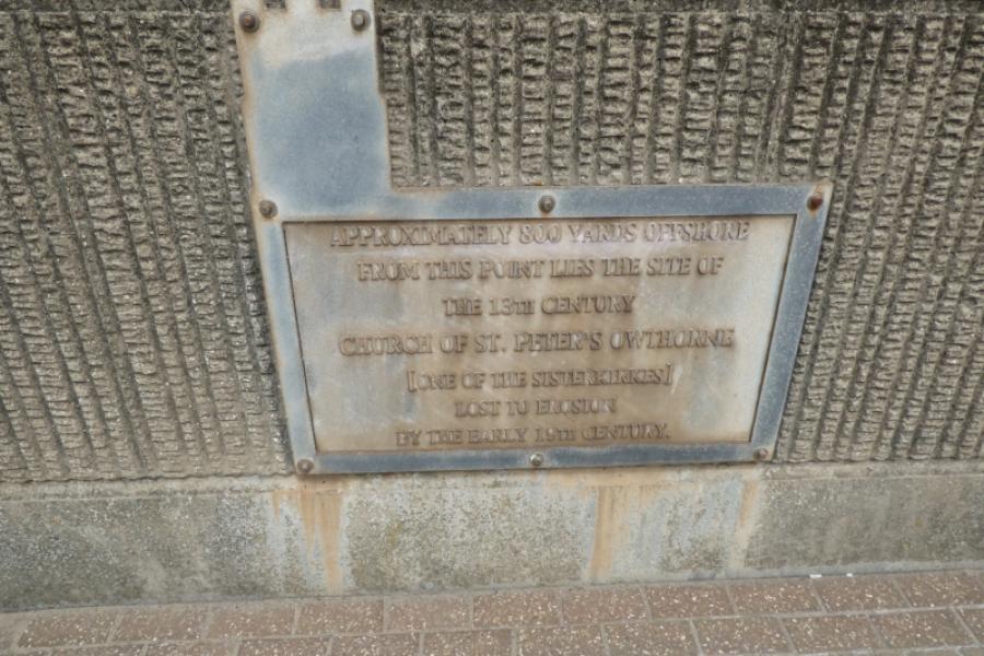
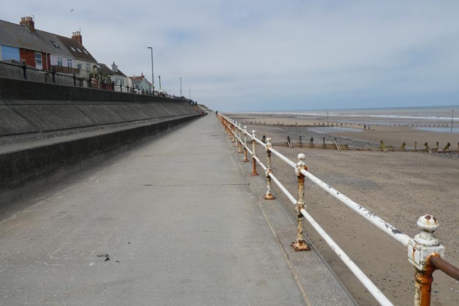
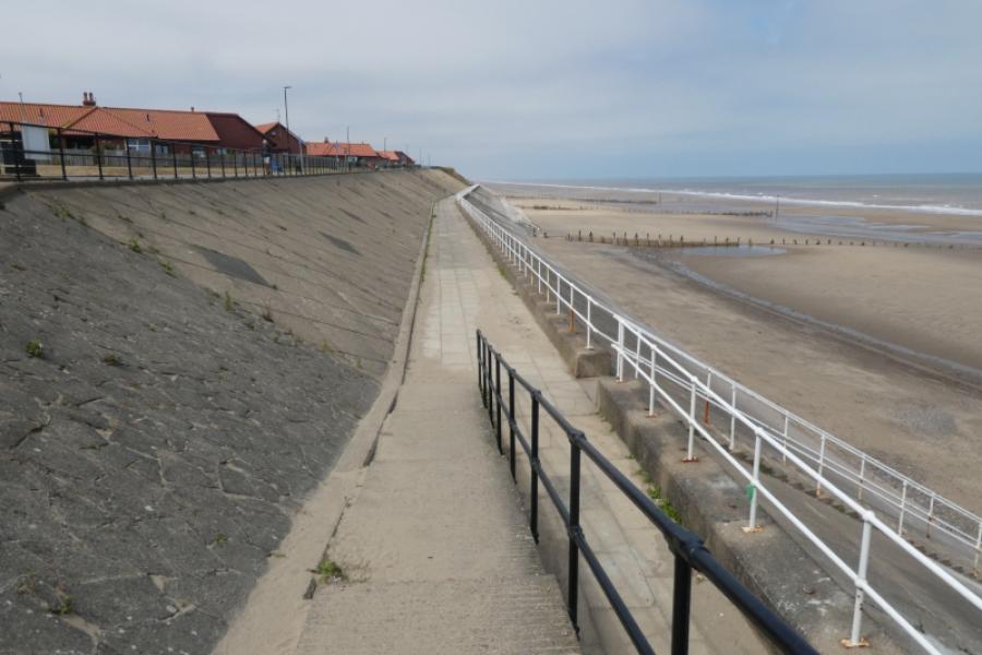
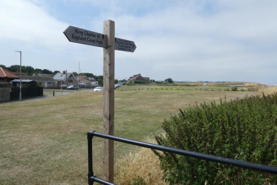
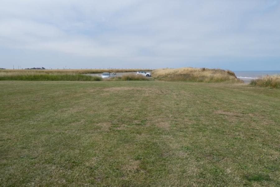
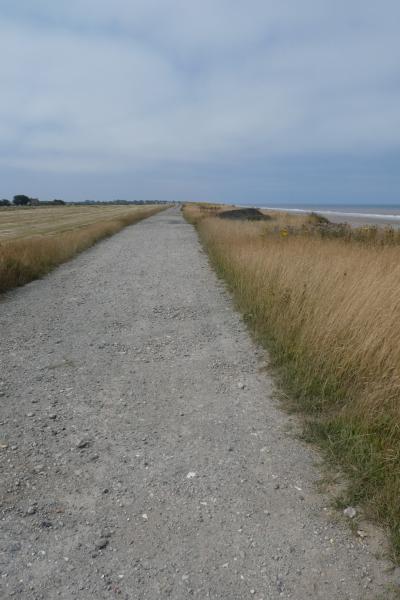
(1) Walk north from the “Castle” on Withernsea Central Promenade. Some interesting signs about old churches now lying well off shore will be passed. In places, there is a choice of levels to walk along including the beach itself. Eventually reach a car park and grassy area at the north end of Withernsea where there is a helpful sign. Continue ahead close to the cliff top to start passing Waxholme. At its north end, the official path goes inland but it is possible to continue, behind the houses although the going is rough for a short distance before one reaches a very good track after the last house. Note the extent of the coastal erosion in this area. Follow the track to a corner where the track goes left and a footpath continues along the cliff top. By now, Sand le Mere Holiday Park should be visible in the distance.
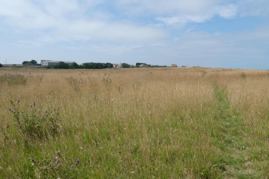
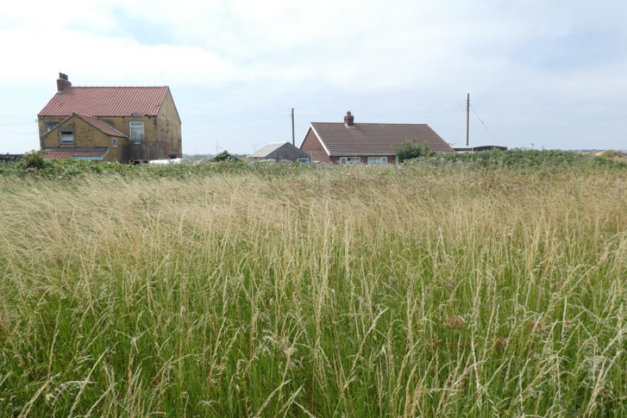
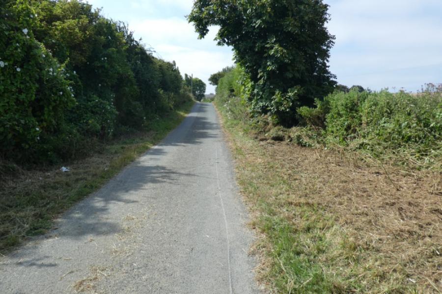
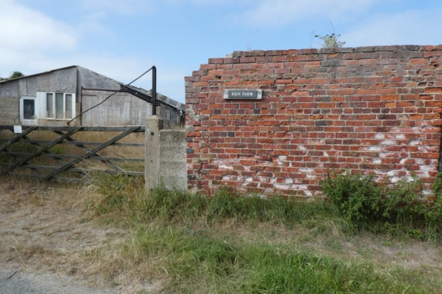
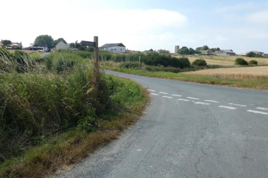
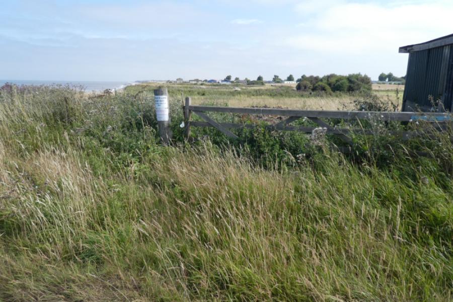
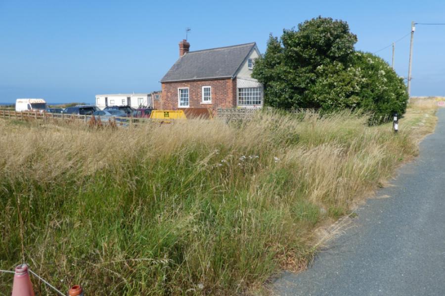
(2) Continue ahead. In places, there is easy access to the beach but be sure of a way back up if you walk for any distance. Walk past Sand le Mere Holiday Park and continue, on a rough edge of field path, towards some houses. These houses didn't want walkers on their land in July 2026 and there are many “Keep Out” notices including some saying dogs may be running loose. Before coastal erosion, this wouldn't have been a problem as there was a public road. There is a long detour going left before these properties and down the narrow edge of planted field before eventually reaching a minor road. Turn right and pass Kiln Farm then reach the T junction with Seaside Lane. It is worth making a detour (right) to the end of Seaside Lane where the road goes over the cliff. Retrace back to the T junction and continue to another T junction in Tunstall village. Note where the coastal path, signed, continues north. Turn left, south, and follow the road to the edge of the village where Southfield Lane leaves the road and returns you to Sand le Mere Holiday park.
Notes
(a) This walk took place on 14th July, 2026.
Photos - Hover over photo for caption. Click on to enlarge. Click on again to reduce.