Get Lost Mountaineering
You are here: Scotland » 04 Loch Leven and Loch Linnhe to Loch Ericht » Loch Trieg to Loch Ericht & Dalwhinnie
Meall nan Eagan & The Fara
Meall nan Eagan and The Fara from Dalwhinnie
Start/Finish
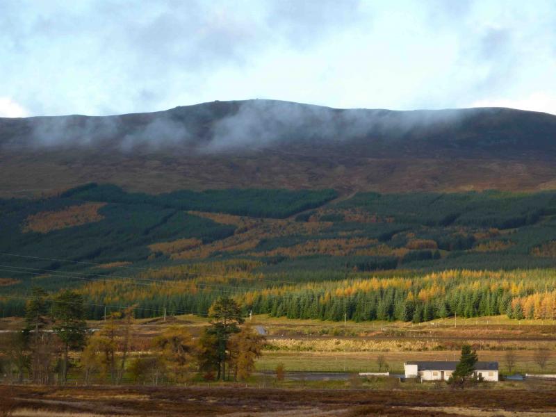
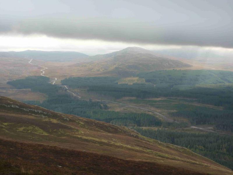
A889 about 2 km N of Dalwhinnie at about NN 636 864 where a good track heads W just before a wood and roughly follows the N bank of the Allt an t-Sluic. This track is not shown on the 1989 map.
Distance/Time
15 km Approx 7 hours
Peaks
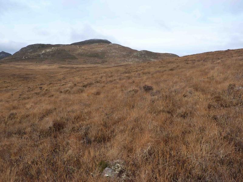
Meallnan Eagan, 658 m, NN 596 874.
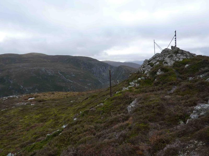
The Fara, 911 m, NN 598 843. OS sheet 42.
Introduction
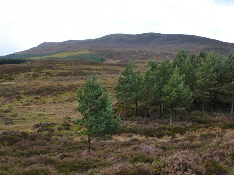
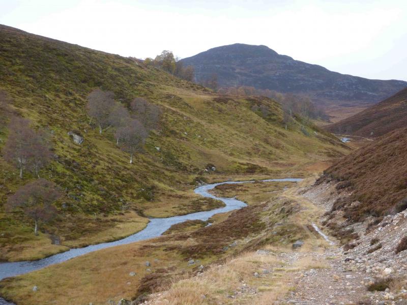
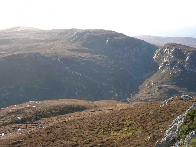
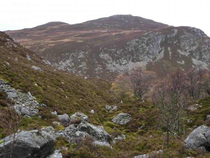
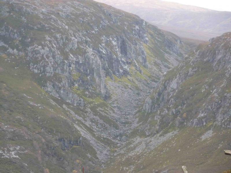
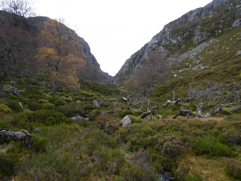
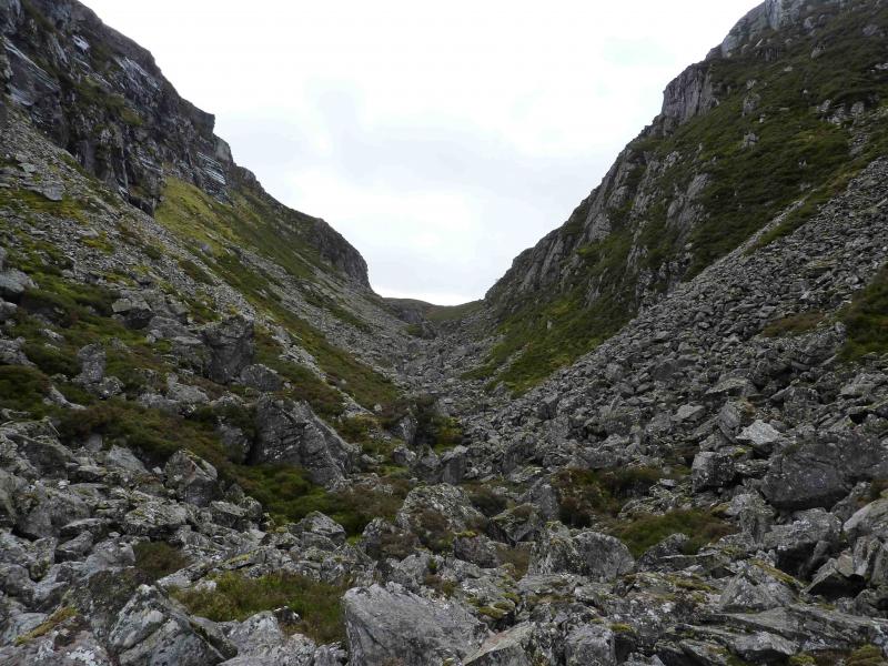
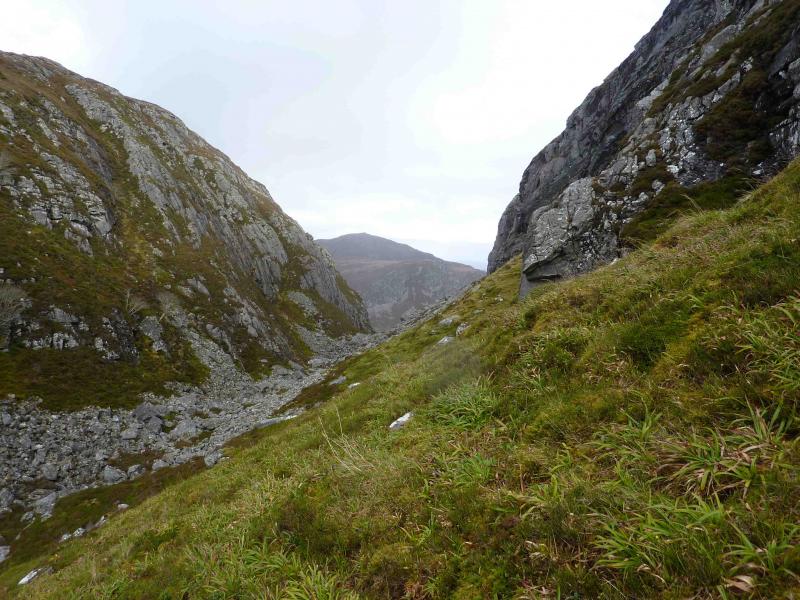
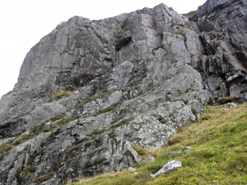
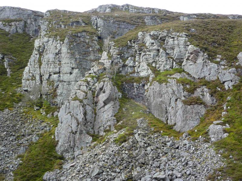
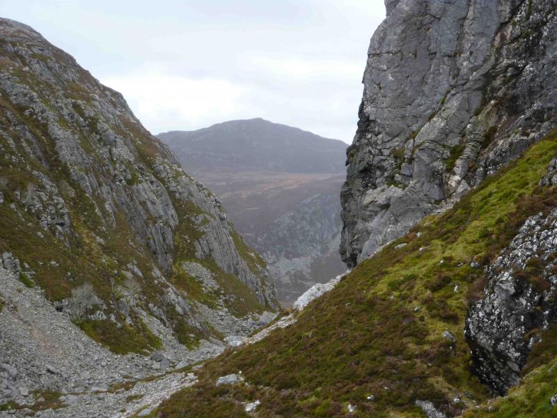
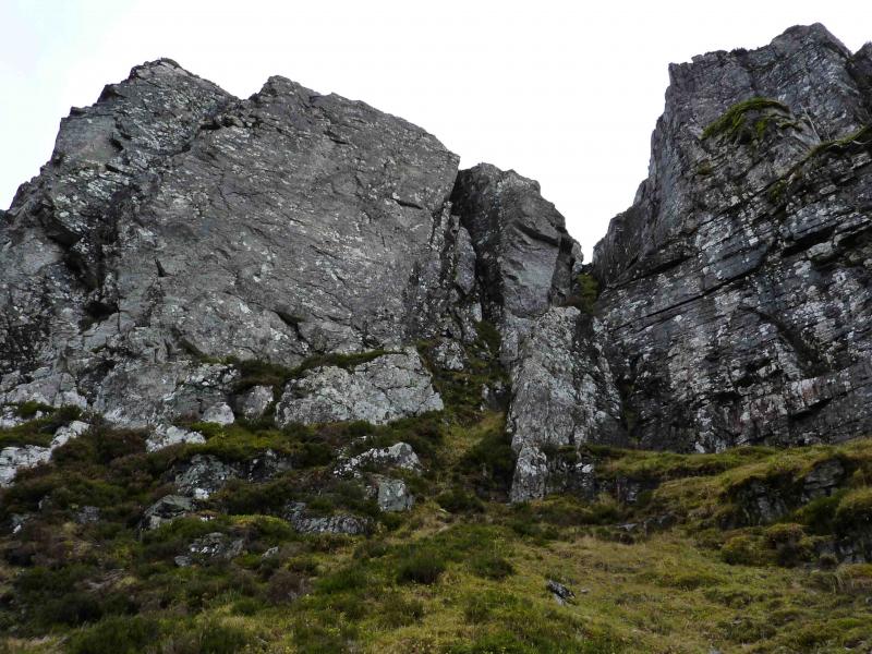
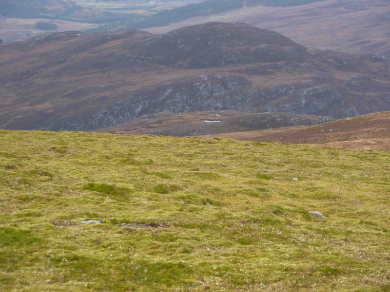
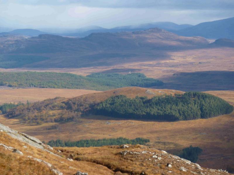
The ridge of The Fara is easily seen from the A9 near Dalwhinnie. As one would expect, it is an ideal viewpoint for the Ben Alder range and other surrounding hills. Meall nan Eagan is not seen from the road but is a pleasant moorland peak. The route up The Fara uses the Dirc Mhor, a fairly dry ravine, with many fallen rocks and boulders in its bottom, which is pleasant to walk through on a dry day but is hard going, on slippery rock, when wet.
Route
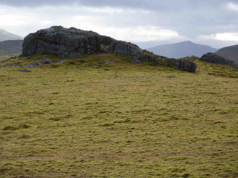
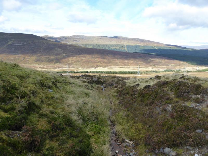
(1) Follow the track W to the house, noting where another track (possible descent route) comes down from The Fara, crosses the Allt an t-Sluic, just to the E of the house, and joins the main track. By pass the house on the left on a track which ends soon after the house. Look for a small bridge over the Allt an t-Sluic which could be used on the return from The Fara. A path continues beyond the end of the track and, at a direction sign, ascend the bank to rejoin a lesser track. The track crosses the river a few times which can be a problem in wet weather, in which case, stay on the N bank. Before too long Meall nan Eagan is seen almost directly ahead. Follow a tributary up towards its E bealach with Carn na Ceardaich. The going is largely pathless but not difficult on on gentle grassy slopes with occasional heather. From the bealach, ascend the E ridge up grassy heathery slopes. The best chance of a path is on the left of the ridge. A line of old fence posts can be followed all the way to the summit cairn of Meall nan Eagan, 658 m, which is marked by a “special” fence post in a small cairn on a small outcrop.
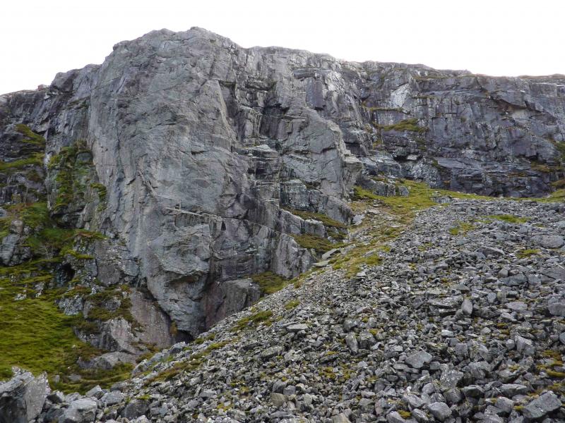
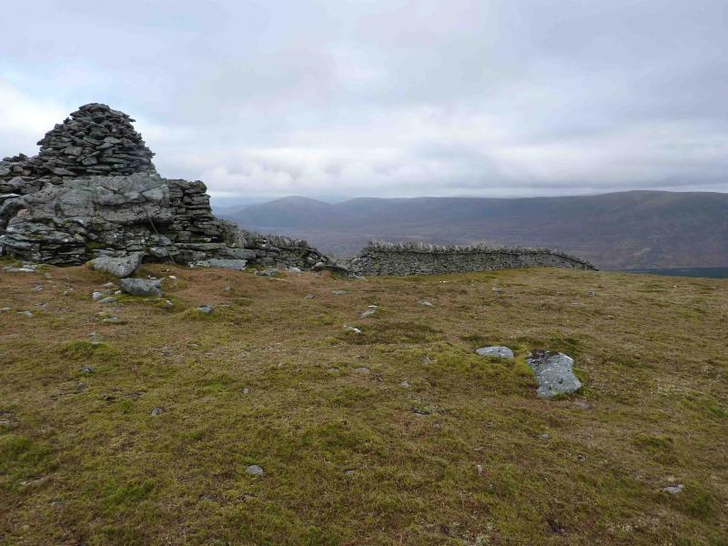
(2) Descend SW then SE on grassy heathery ground aiming for the foot of the Dirc Mhor which is the larger, and the left one, of the two ravines easily seen in good weather. From the valley bottom, follow a burn SW into the Dirc Mhor. This is a fairly dry ravine with fallen rocks and boulders filling its bottom. These are easily negotiated in dry weather but are very slippery when wet. It takes about an hour to get through the gorge. Now and again, there are hints of paths, mostly to the left. The exit goes off to the left around the last rocky buttress. Head up SE and follow a line of fence posts for about 2 km to the very large summit cairn of The Fara, 911 m, which sits at the top of a wall running down towards Loch Ericht.
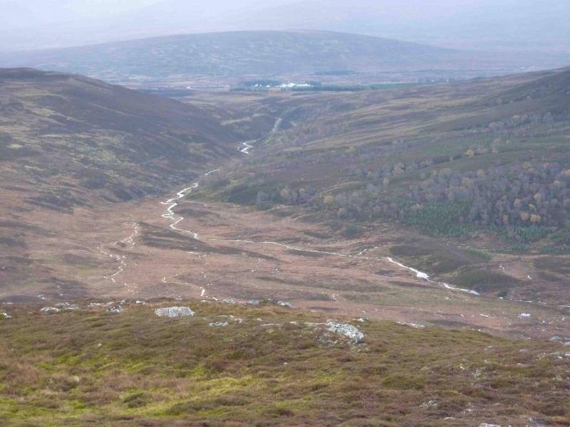
(3) Descend, following the wall which soon becomes fence posts, down grassy, occasionally boggy, slopes until the gap in the forest is seen. Look left for a forest road which can be reached via a high metal gate which may have to be climbed over. Follow the forest track (not on the 1989 map) to reach the road about 400 m S of the start.
Notes
(a) This walk took place on 27th October, 2010 and 31st October, 2010.
(b) In clear weather, another possible descent track will be noticed during the walk in. This is to the W of the forest track and could be reached by descending down the NE ridge of the Fara. An ATV track can be followed before reaching this track and should be located by looking for the drainage channels either side. The good track comes down to the Allt an t-Sluic slightly to the E of the house. The crossing is actually “block paved” with the middle section missing leaving a gap of about a metre to be jumped over water which is usually between 30 and 60 cm deep, more in spate. If this seems too daunting, walk downstream where there is an easy crossing using the bridge after the dam.
Photos - Hover over photo for caption. Click on to enlarge. Click on again to reduce.