Get Lost Mountaineering
You are here: Scotland » 04 Loch Leven and Loch Linnhe to Loch Ericht » Mamores to Corrour
Mam na Gualainn & Beinn na Caillich
Mam na Gualainn and Beinn na Caillich from Kinlochleven
Start/Finish
Bridge over the River Leven in the centre of Kinlochleven. Plenty of free parking is available close by.
Distance/Time
20 km Approx 8 hours
Peaks
Beinn na Caillich, 764 m, NN 140 628.
Mam na Gualainn, 796 m, NN 115 625. OS sheet 41.
Introduction
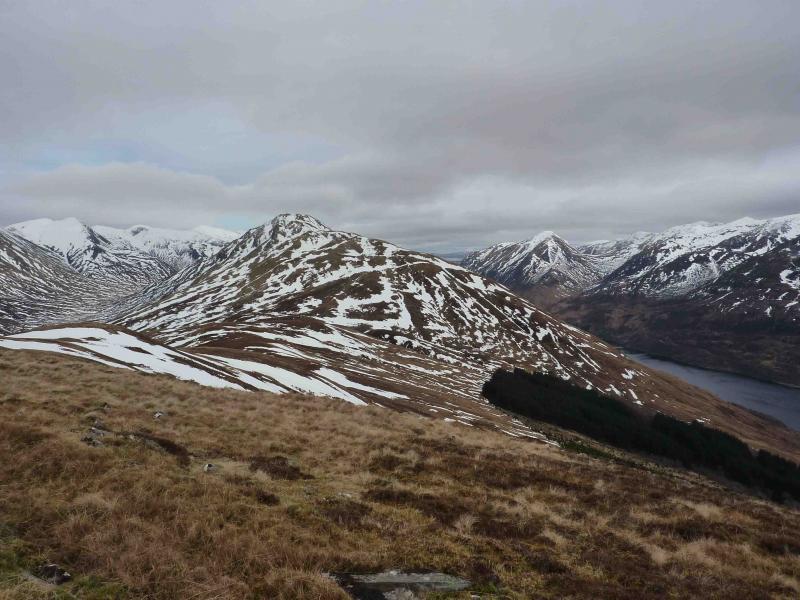
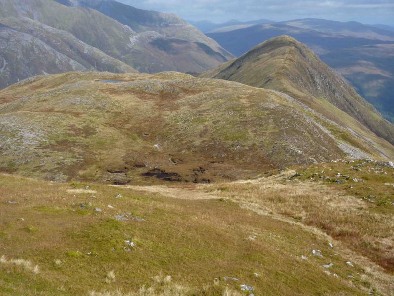
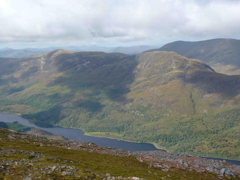
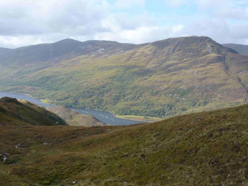
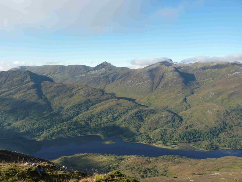
This is a very pleasant walk up a long ridge with excellent views in all directions, especially of the Mamores and the Glencoe mountains. On a clear day, there are views to the W across Loch Linnhe and to the E beyond Blackwater Reservoir to Schiehallion.
Route
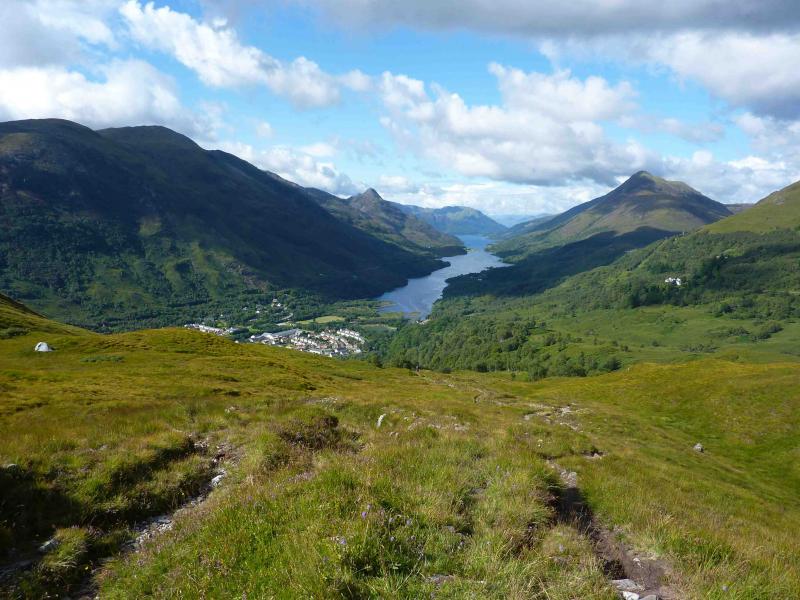
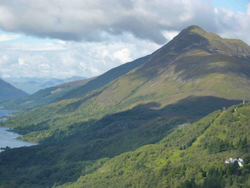
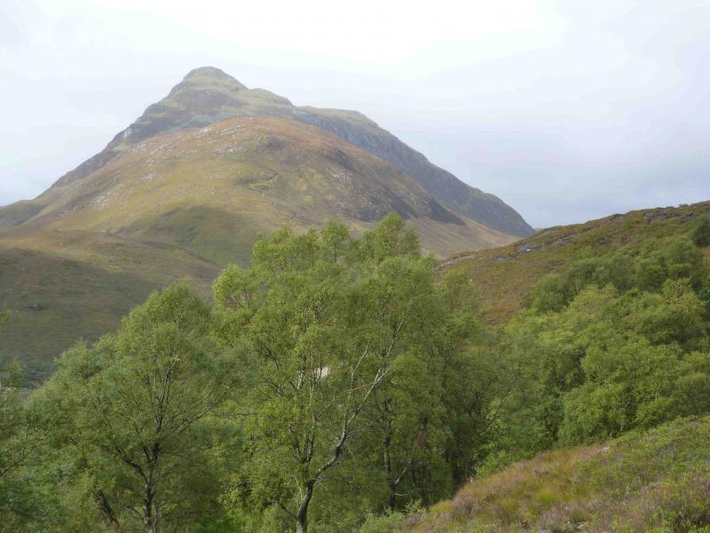
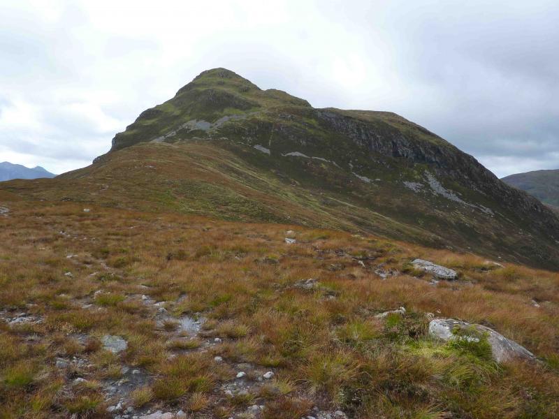
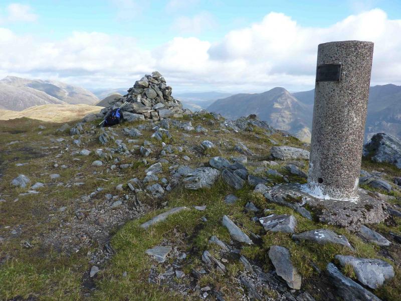
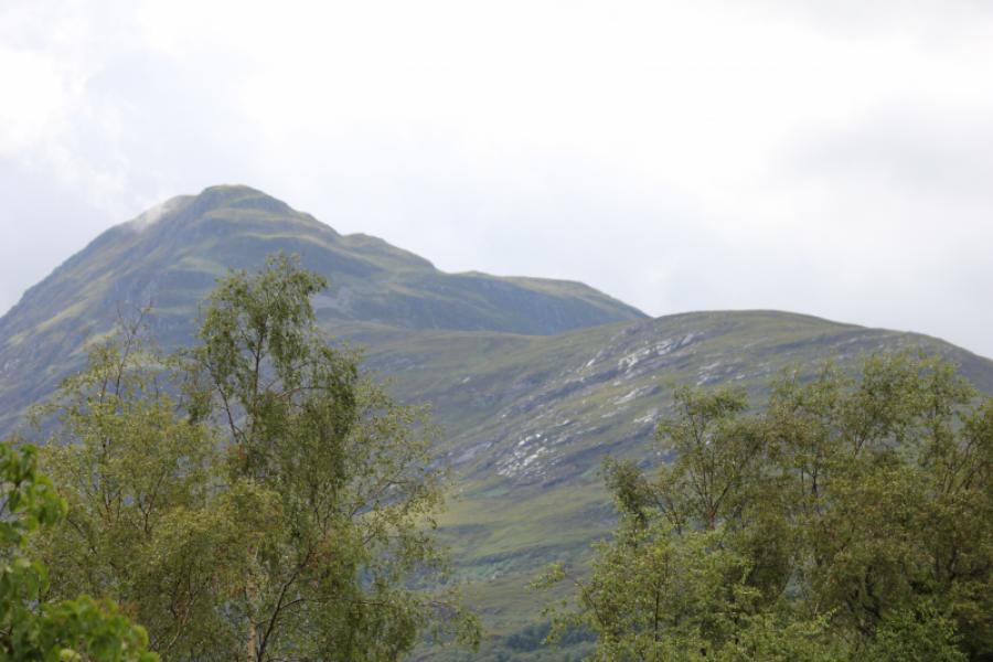
(1) From the bridge over the River Leven, walk along the road towards North Ballachulish on the N side of the loch. Opposite the synthetic football pitches, and just before the MacDonald hotel, take the well signposted West Highland Way footpath. This climbs steadily through the trees, crossing the minor road to Mamore Lodge, before emerging on the open hillside then joining the track from Mamore Lodge. Continue for about 1 km. When a bridge is crossed in a line of trees at right angles to the track, look for a muddy path slanting down left to the Allt Nathrach. The start of this path can be difficult to spot. If you reach a large cairn on the left, you have passed it. A good guide is that the path goes down to a gate before the burn. Just before and after the gate, the path is more distinct. Go through the gate and continue down to the burn which can be crossed by a good bridge. The name of the burn translates as stream of the adders so watch out for snakes! Once across the bridge, follow the obvious bridge which zig-zags up the side and nose of Beinn na Caillich to emerge on a shoulder. The path continues across this then zig zags up the N flank to emerge at the small summit cairn of Beinn na Caillich. There is a larger cairn about 100 m to the E which is a better viewpoint.
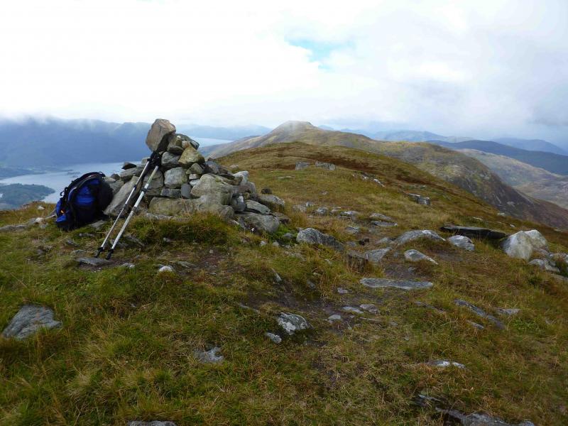
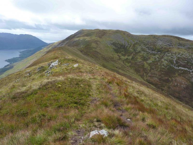
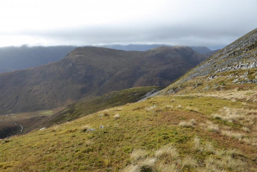
(2) Descend a grassy ridge W, still on a path, to a small grassy bealach then ascend WNW to the unnamed top at 755 m. Descend WSW to a broader bealach before ascending roughly W to the large summit cairn and trig point of Mam na Gualainn. The summit are is split by a shallow grassy cleft coming from the W.
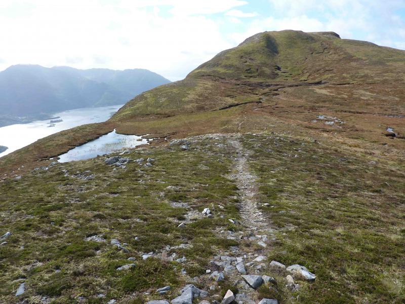
(3) Descend WSW, then W, on a faint path, initially following a fence, to reach the bealach between Mam na Gualainn and Tom Meadhoin. There is a cairn on what looks like a pile of large gravel. From here, an obvious path leads NNE then NE with little gradient initially and gentle after that. Much of this path is easy to walk with just the occasional very stony section. The path slowly converges with the Allt na Lairige and crosses it just to the E of Larrigmor before joining the West Highland Way. This crossing is usually easy but may be difficult in spate. If this is the case, it may be easier to cross at the wide bend just to the W. Failing that, one would have to walk along the bank for about 1 km to where the West Highland Way crosses the burn by a bridge. From here, continue E along the signposted track then path to Kinlochleven.
Notes
(a) This walk took place on 16th September, 2010.
Photos - Hover over photo for caption. Click on to enlarge. Click on again to reduce.