Get Lost Mountaineering
You are here: England » Lake District » 3 Central Fells
High Raise & Ullscarf from Stonethwaite
High Raise & Ullscarf from Stonethwaite
Start/Finish
Stonethwaite hamlet where there is very linited parking by the old red telephone box. Stonethwaite is about half a mile down a minor road off the main Borrowdale road about half a mile south of Rosthwaite.
Distance/Time
13 km About 6 – 7 hours
Peaks
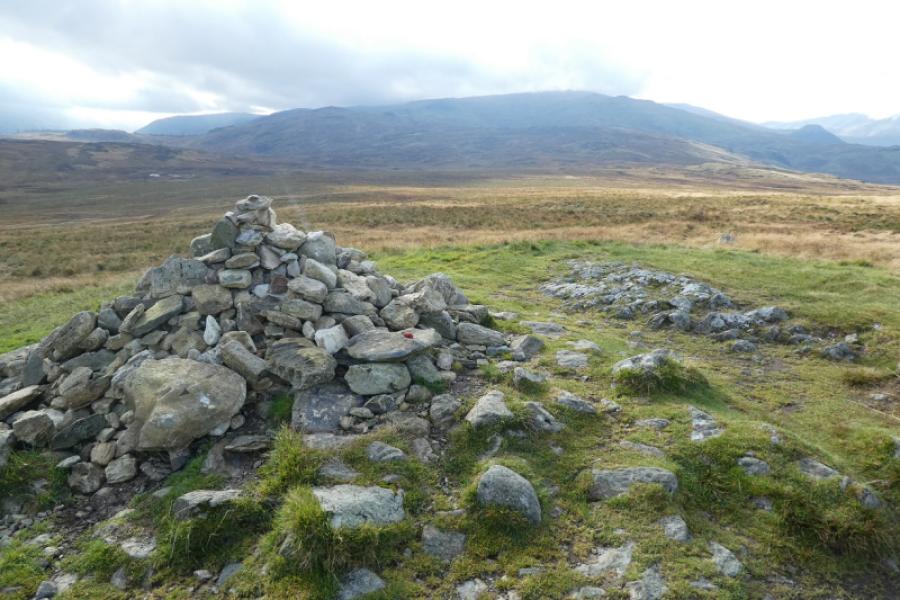
High Raise, 762 m, NY 281 095.
Ullscarf, 726 m, NY 292 122.
OS 90: Penrith & Keswick OL4 North Western Lakes OL6 South Western Lakes
Introduction
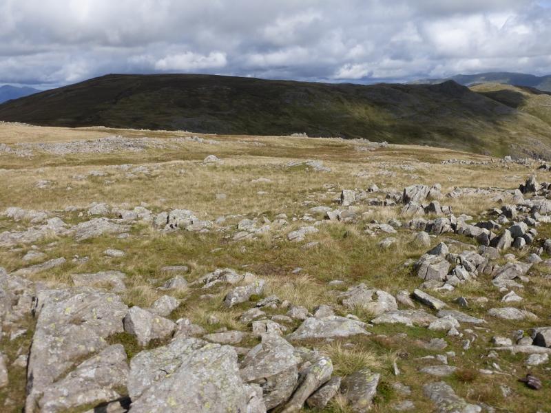
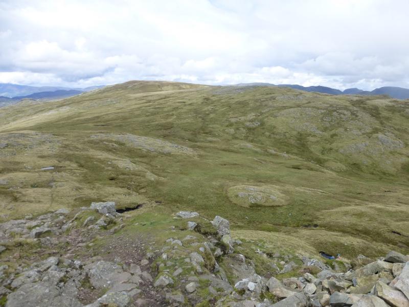
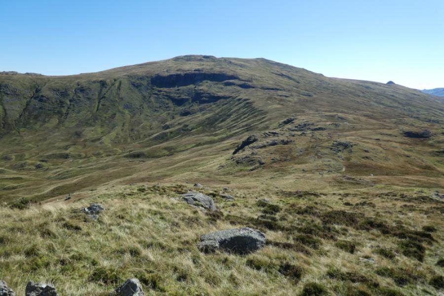
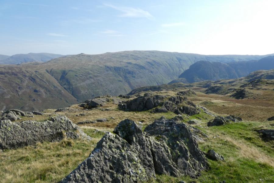
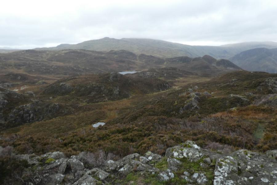
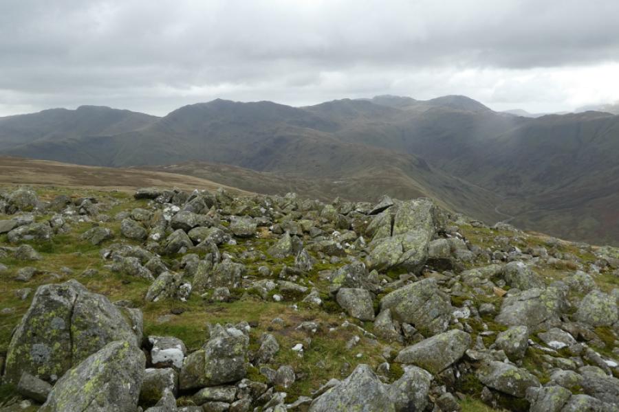
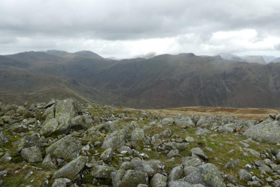
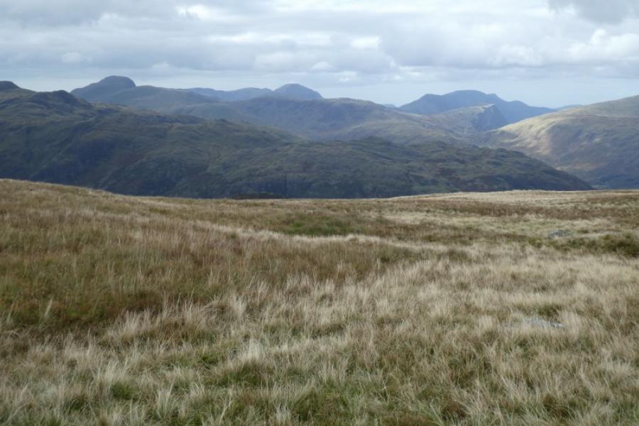
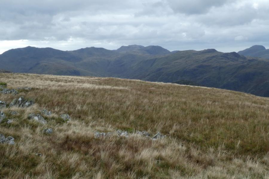
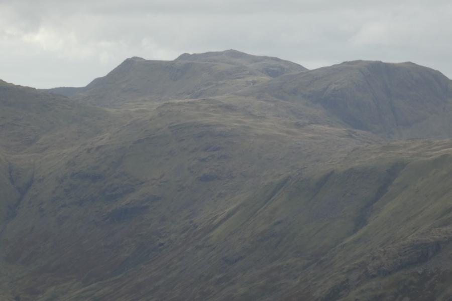
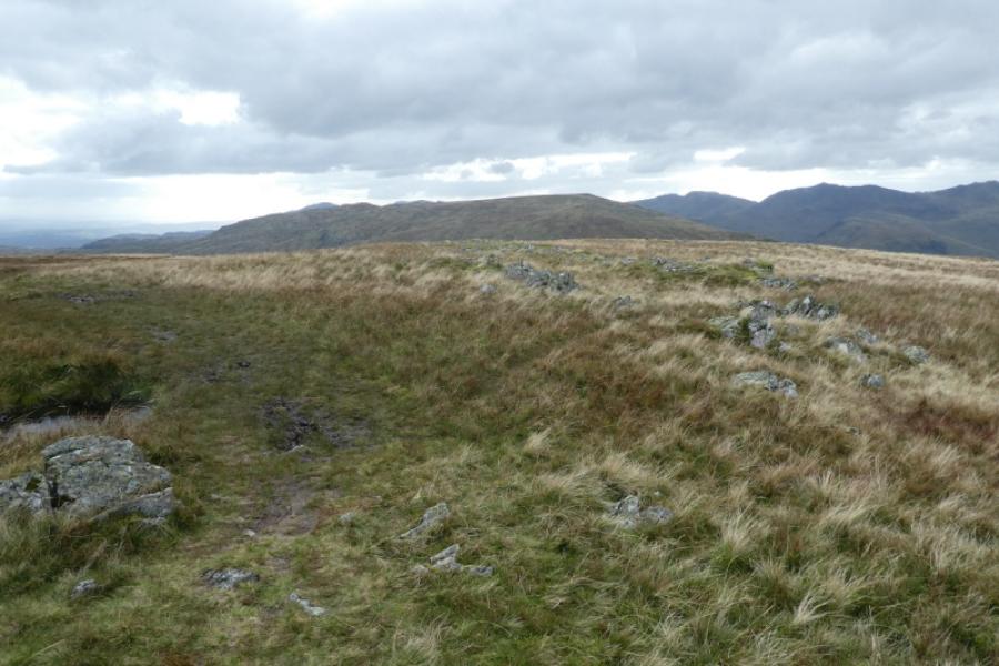
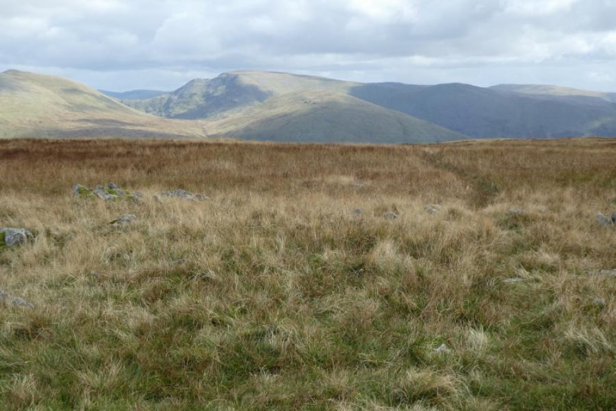
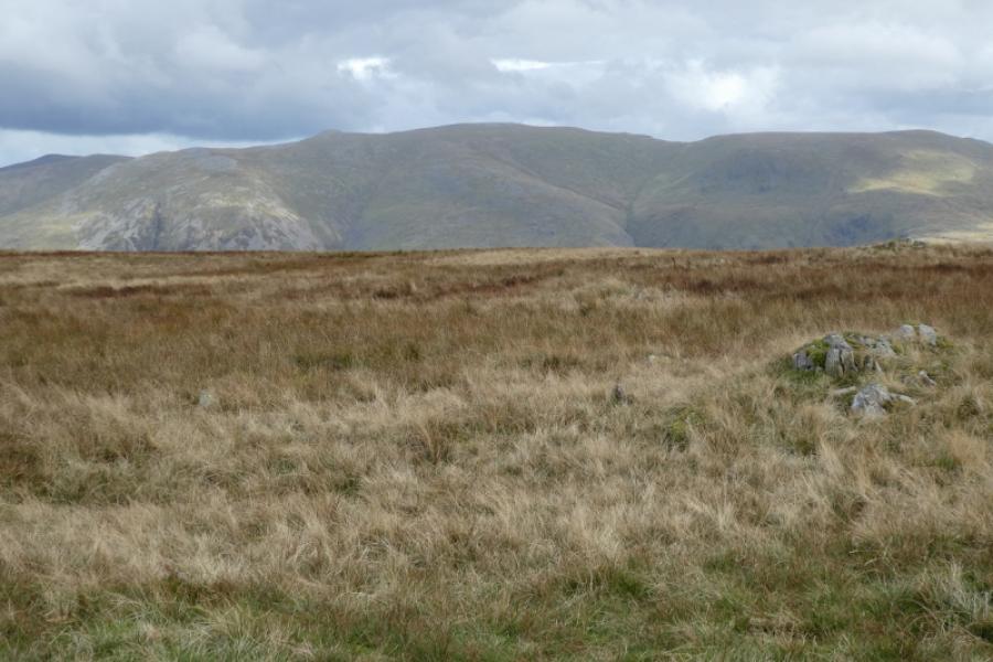
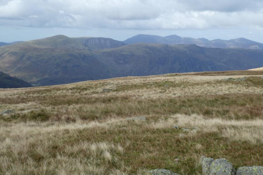
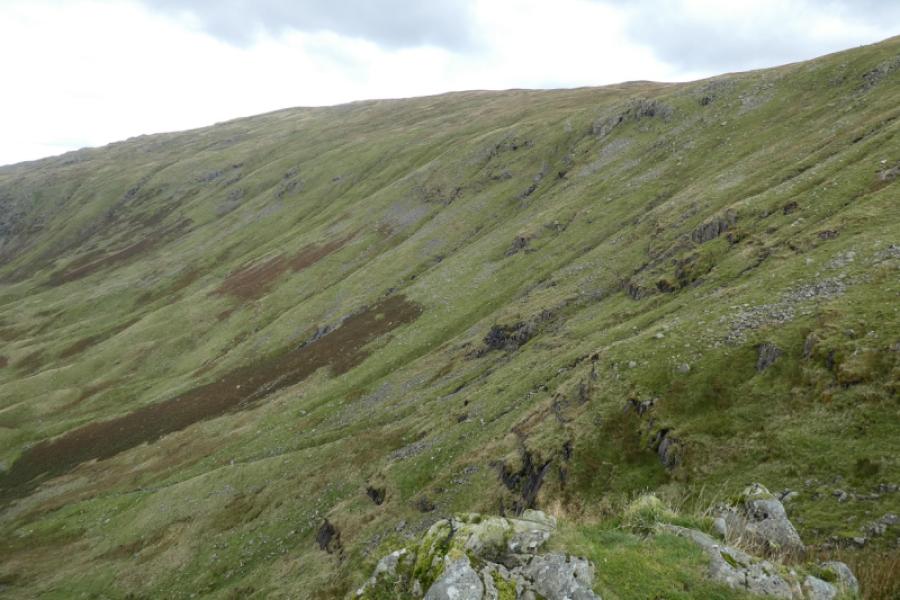
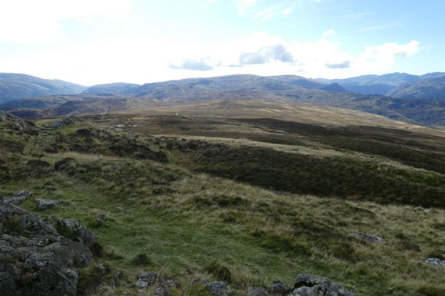
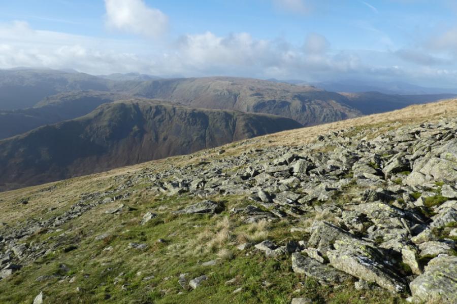
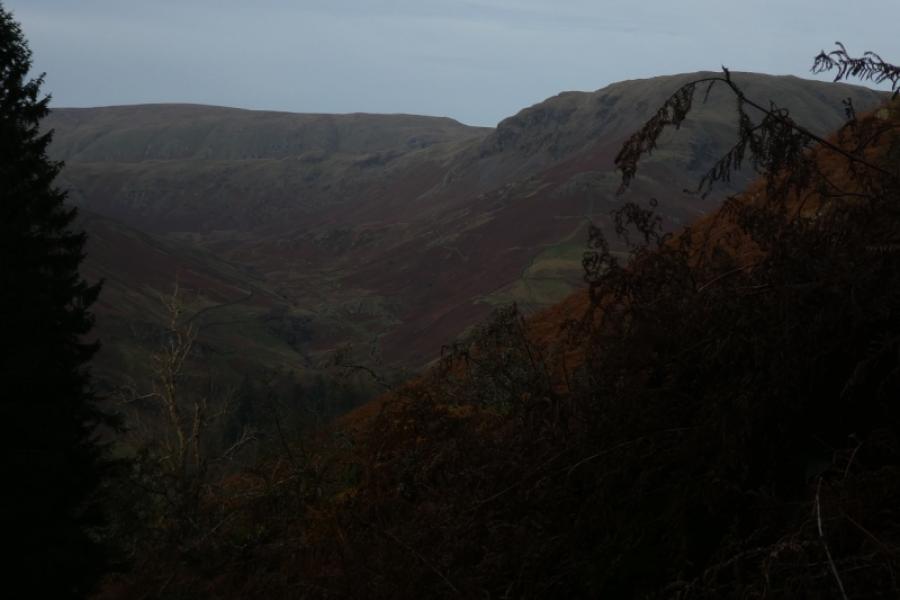
This is a strenuous and demanding walk with some very steep and rocky ground, often slippery, as well as some quite wet and boggy ground. There are paths all the way but, even so, navigation would be tricky in the mist. Ullscarf is little more than a high point on a fairly uninteresting moorland ridge. Views are excellent in all directions and include the Helvellyn range, Fairfield, Greta Gable and even Skiddaw. On a particularly clear day, Scafell Pike will also be seen. This route does involve much retracing so may not appeal to some.
Route
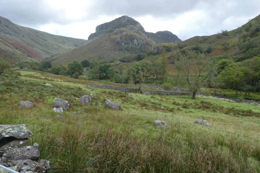
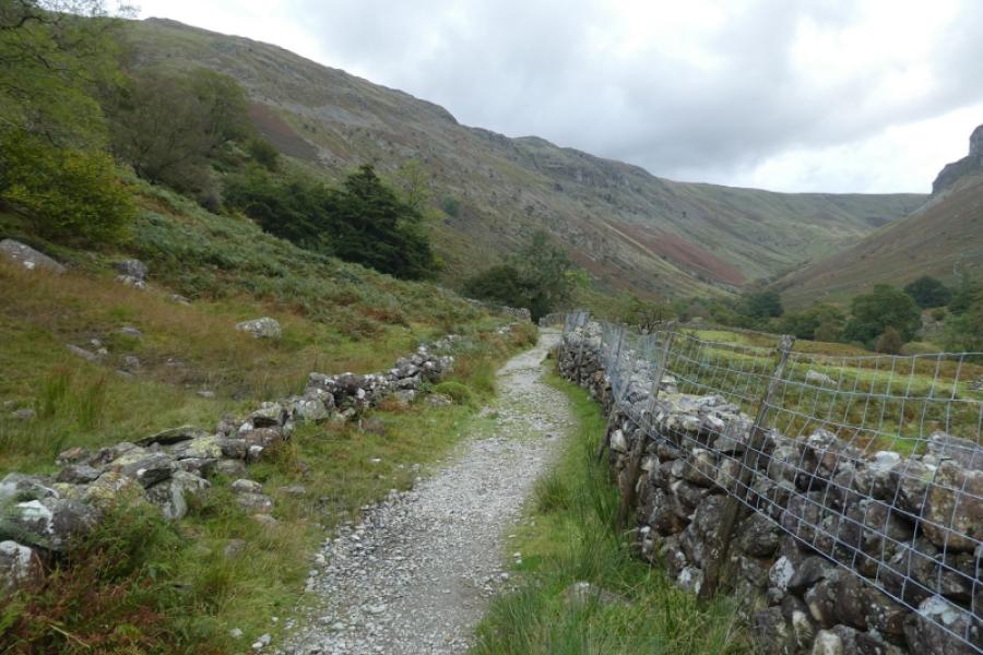
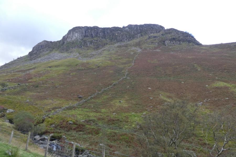
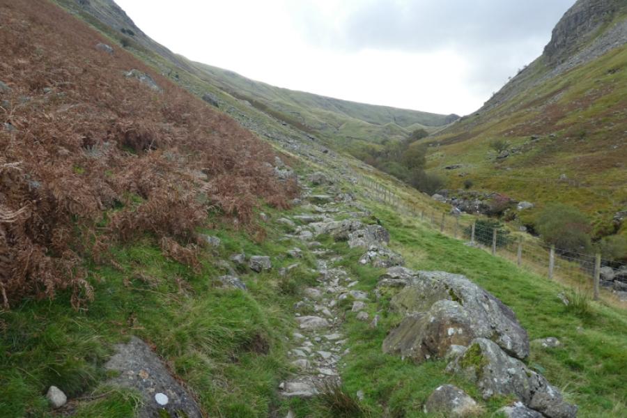
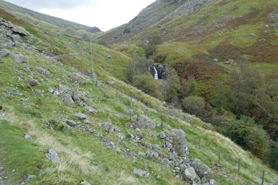
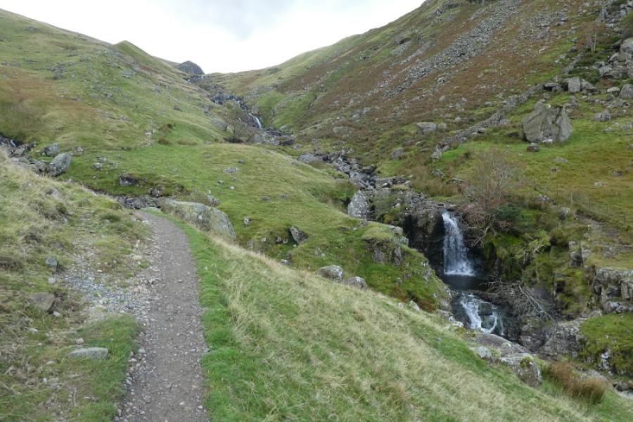
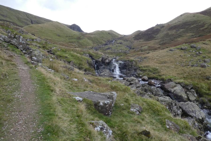
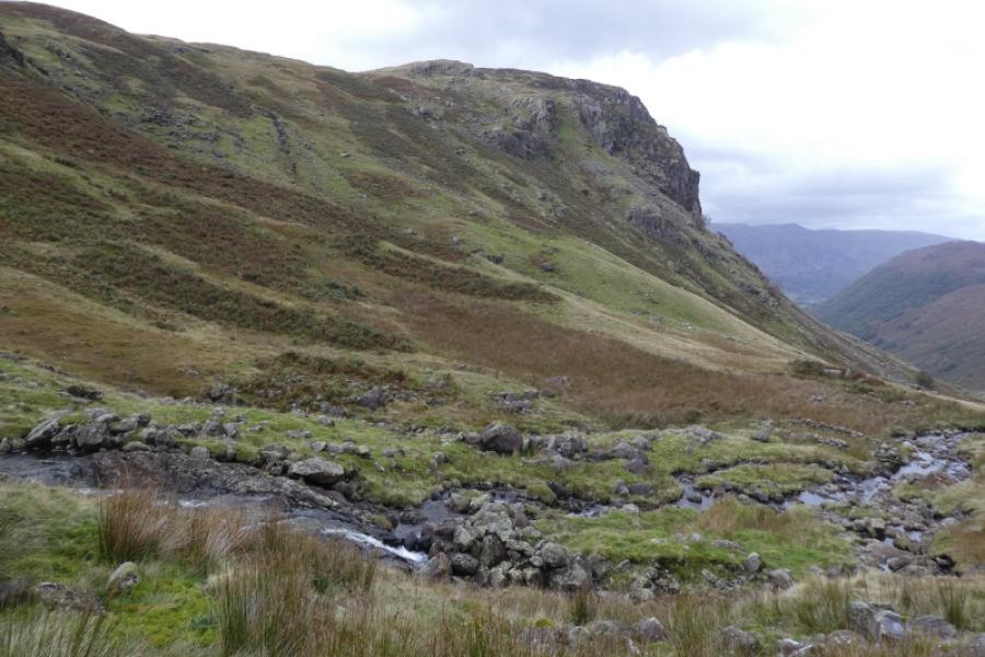
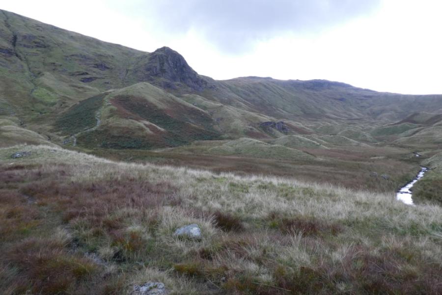
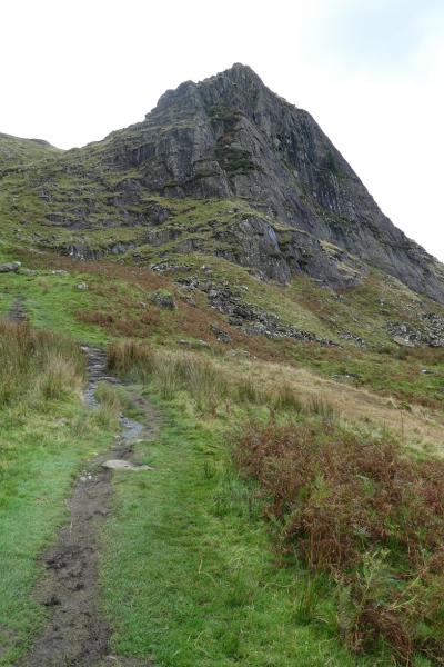
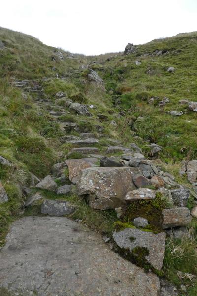
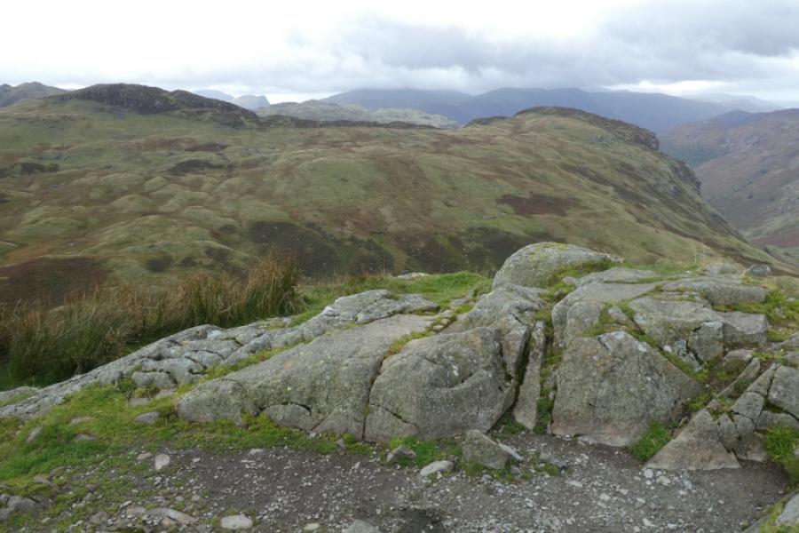
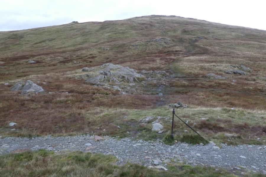
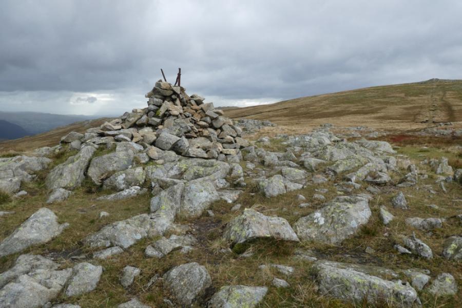
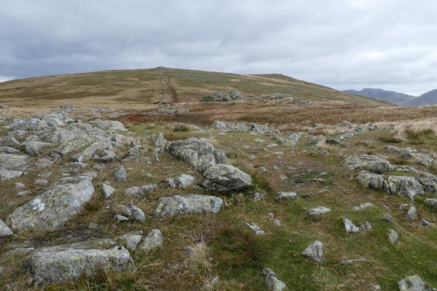
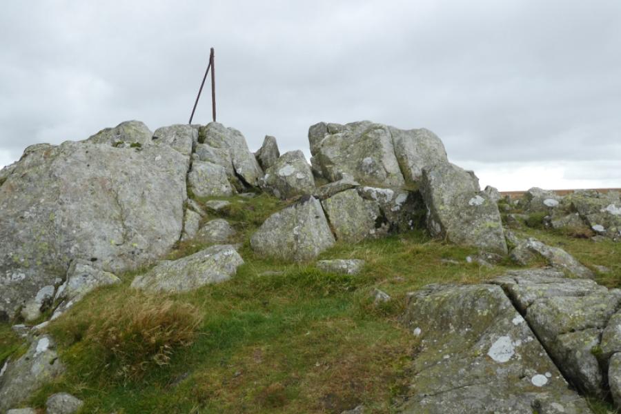
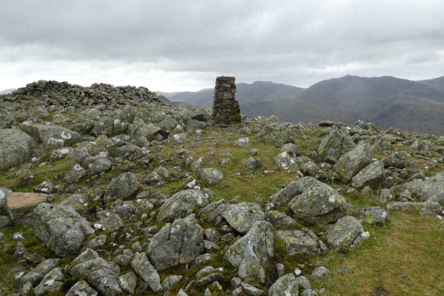
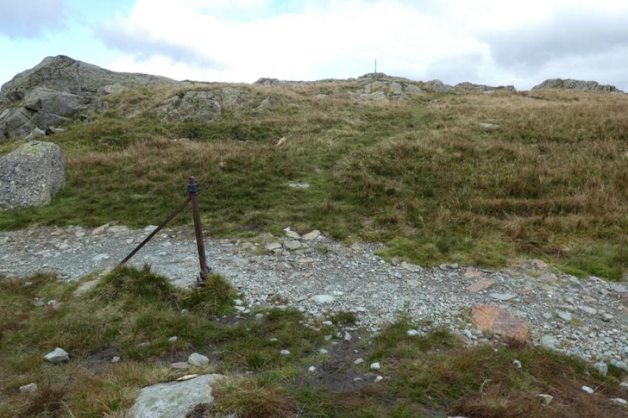
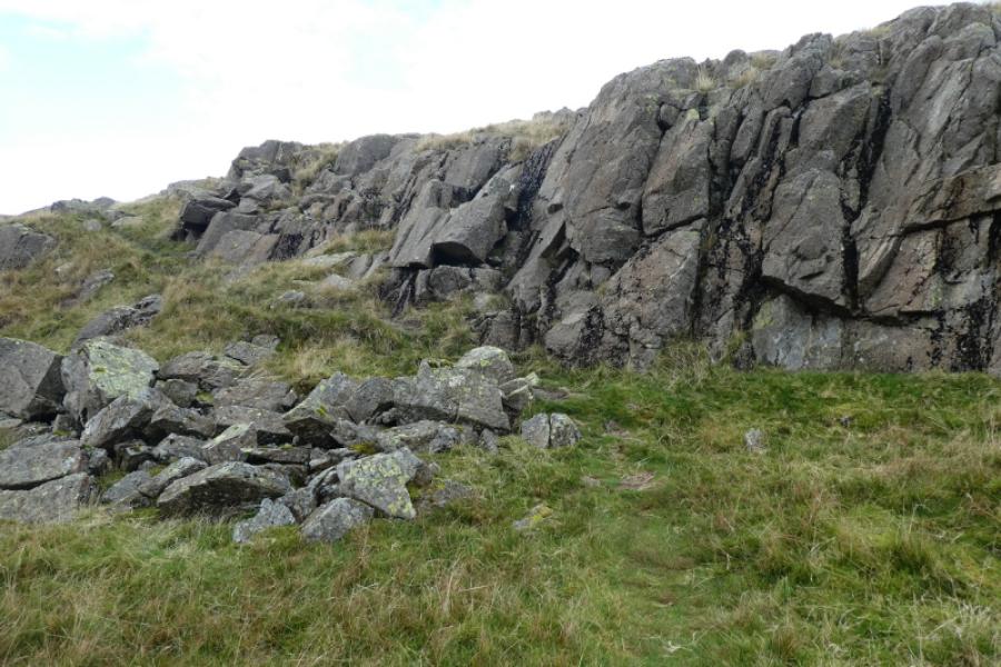
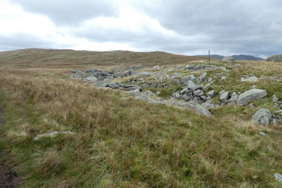
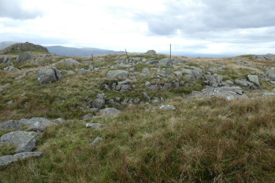
(1) Go down the lane by the old red phone box and cross the river by the old stone bridge then turn right onto the main path to Greenup Edge. Pass where the river splits and continue with Eagle Crag dominating the view across the river. Keep going on the path, rough and stony in places, until reaching the foot of Lining Crag which should be very obvious. The path goes up the left hand side of the crag. Keep well to the left until the path becomes stepped. Resist the temptation to follow a path off to the right as it is very muddy. The left hand path eventually leads to the top of Lining Crag. Turn left and continue towards Greenup Edge with the path soon becoming slabbed. The path is left at its highest point by an iron post. Turn right, SSW, and follow a path, wet and boggy in places up to a cairn which is the far north top of High Raise. Continue to reach an outcrop on the north top then continue to the trig point and shelter cairn which mark the summit of High Raise, 762 m.
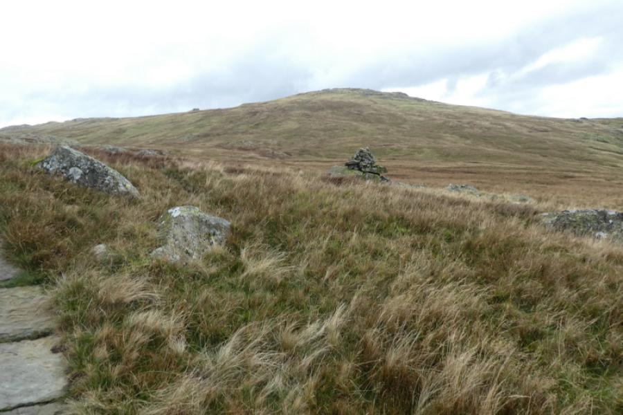
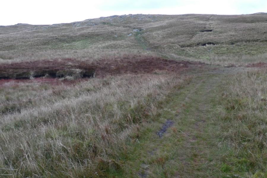
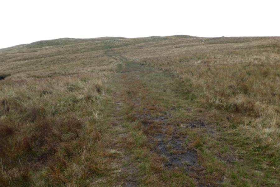
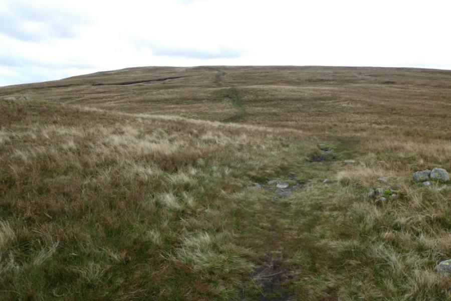
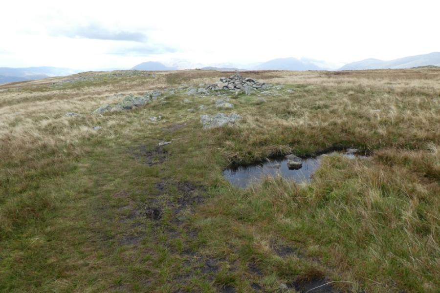
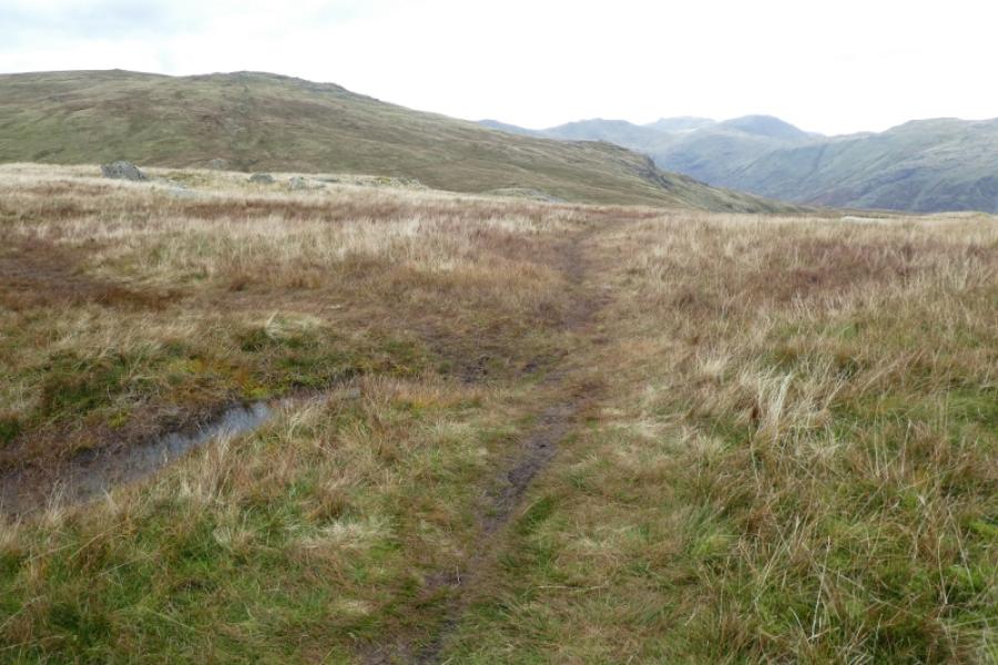
(2) Retrace to where the main path was left at its highest point. Go straight across and follow a grassy path heading in the direction of Ullscarf. Some of the ground can be very wet and boggy but the gradient is largely gentle. Note where you pass 3 iron posts close together by a perfectly split small boulder as this point will be used on the return. Eventually reach a medium cairn which is the summit of Ullscarf, 726 m.
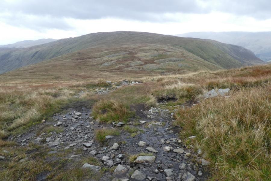
(3) Retrace back to the 3 iron posts then fork off right on a grassy path and follow it to rejoin the path to the top of Lining Crag. Descend the side of the crag carefully then retrace back to Stonethwaite.
Notes
(a) This walk took place on 2nd October, 2024.
Photos - Hover over photo for caption. Click on to enlarge. Click on again to reduce.