Get Lost Mountaineering
You are here: England » Lake District » 7 Western Fells
Base Brown, Green Gable, Brandreth & Grey Knotts from Seathwaite
Base Brown, Green Gable, Brandreth & Grey Knotts from Seathwaite
Start/Finish
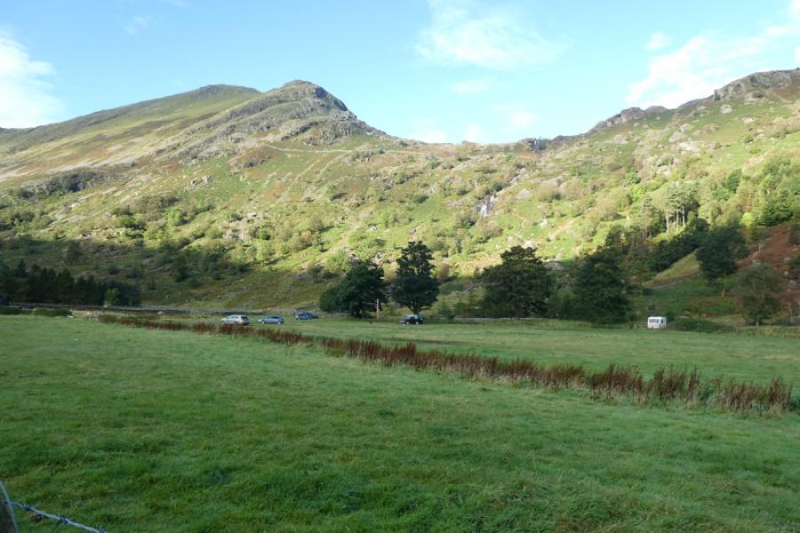
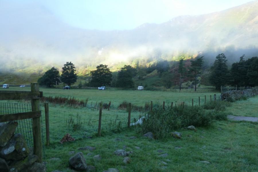
Seathwaite which is at the end of a minor road from Seatoller in Borrowdale. If you arrive early enough, you will be able to park on the verge otherwise you will have to pay to park at the farm, £5 in 2024. As this route returns via Seatoller, one could park there instead.
Distance/Time
14 km About 6 -7 hours
Peaks
Base Brown, 646 m, NY 225 114.
Green Gable, 801 m, NY 215 107.
Brandreth, 716 m, NY 215 119.
Grey Knotts, 697 m, NY 217 126. OL4 North Western Lakes
Introduction
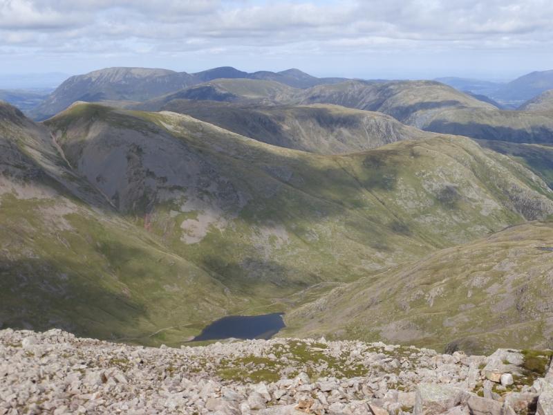
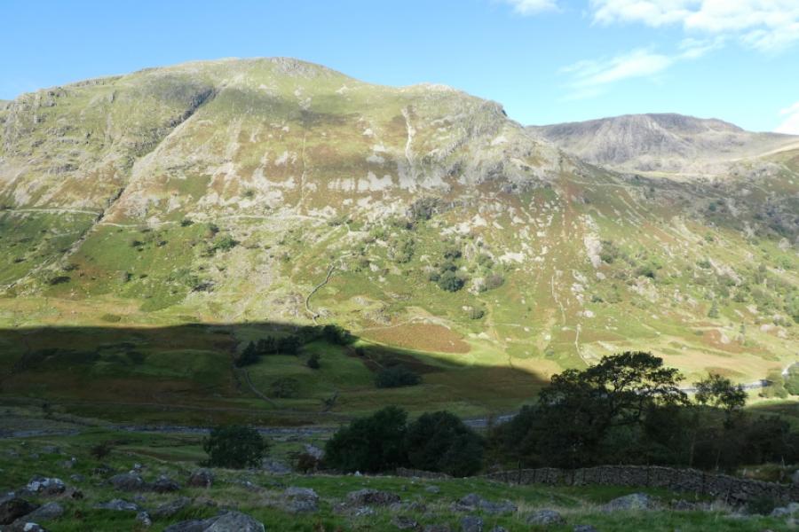
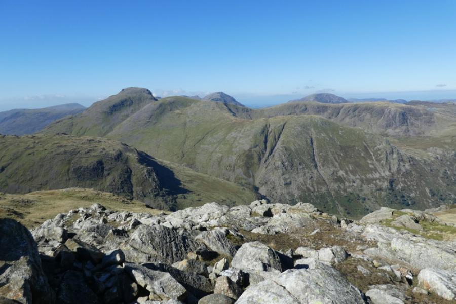
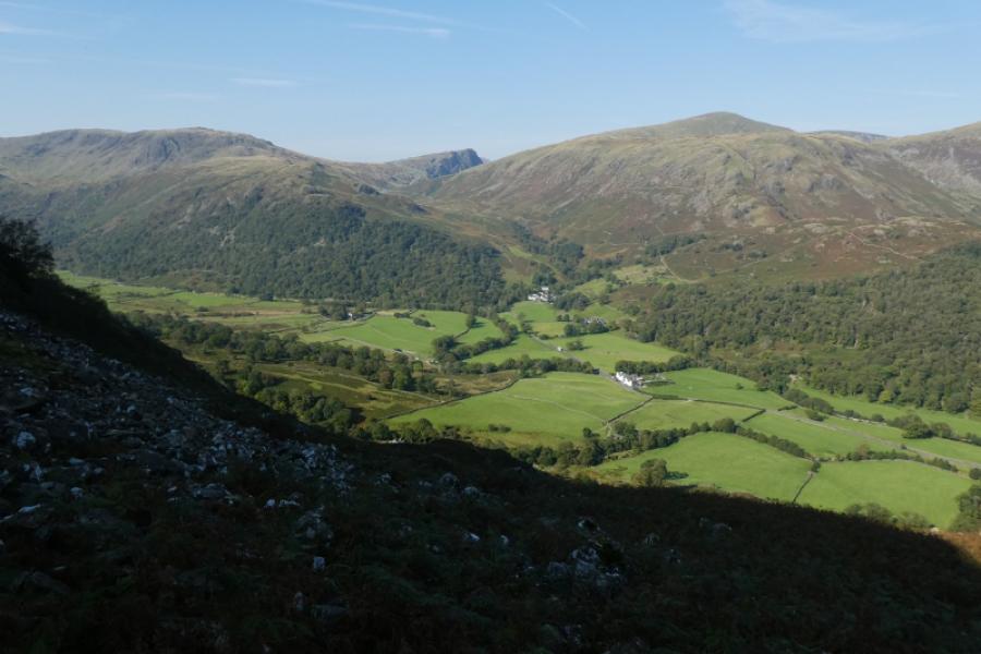
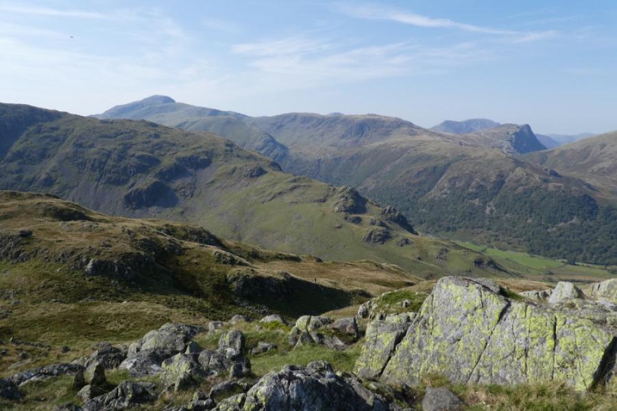
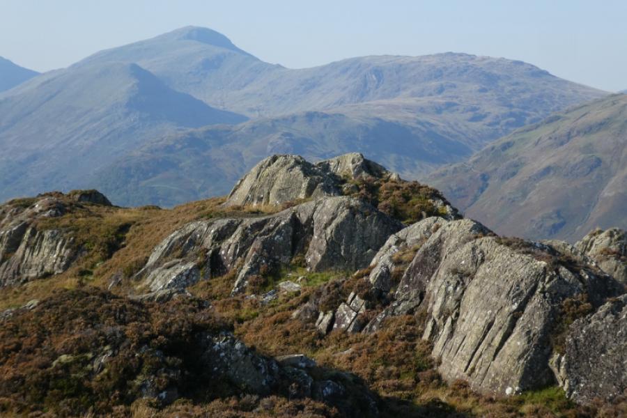
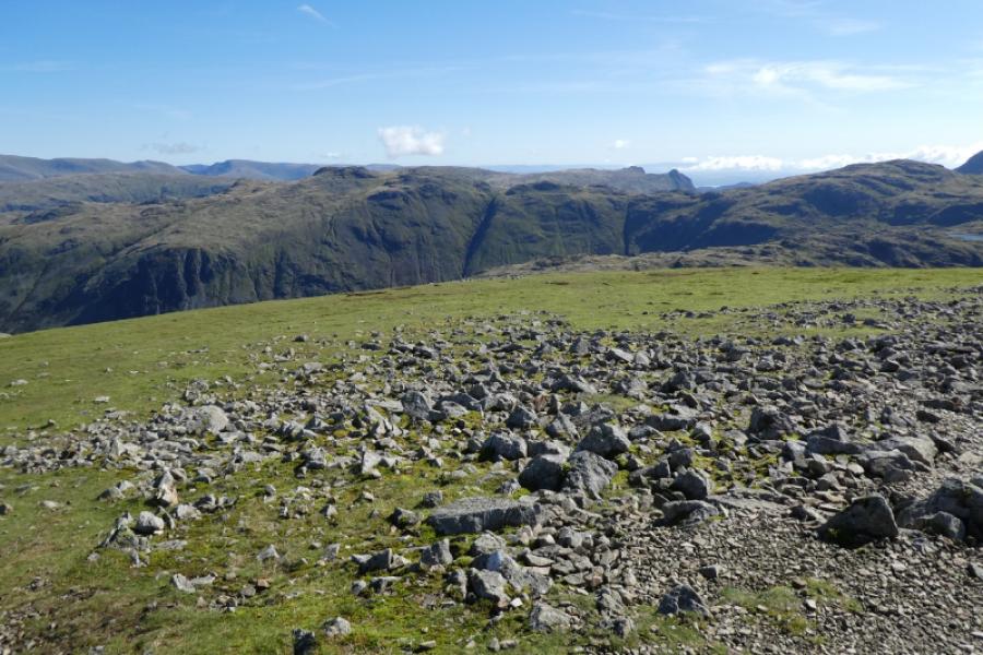
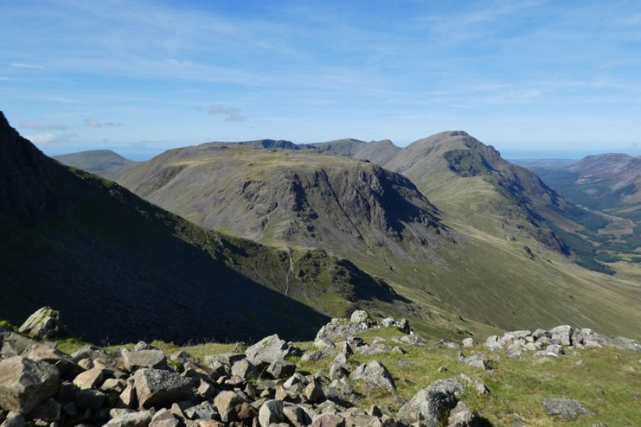
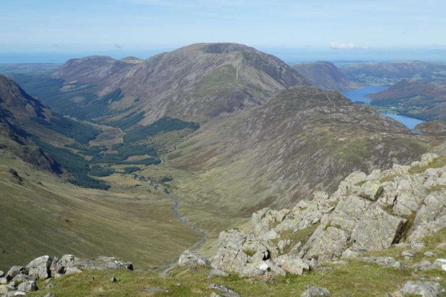
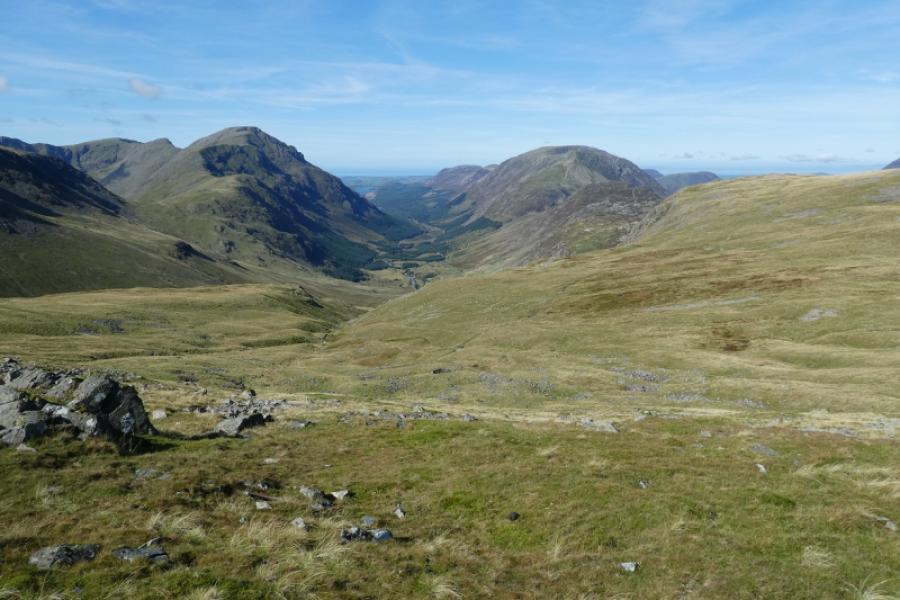
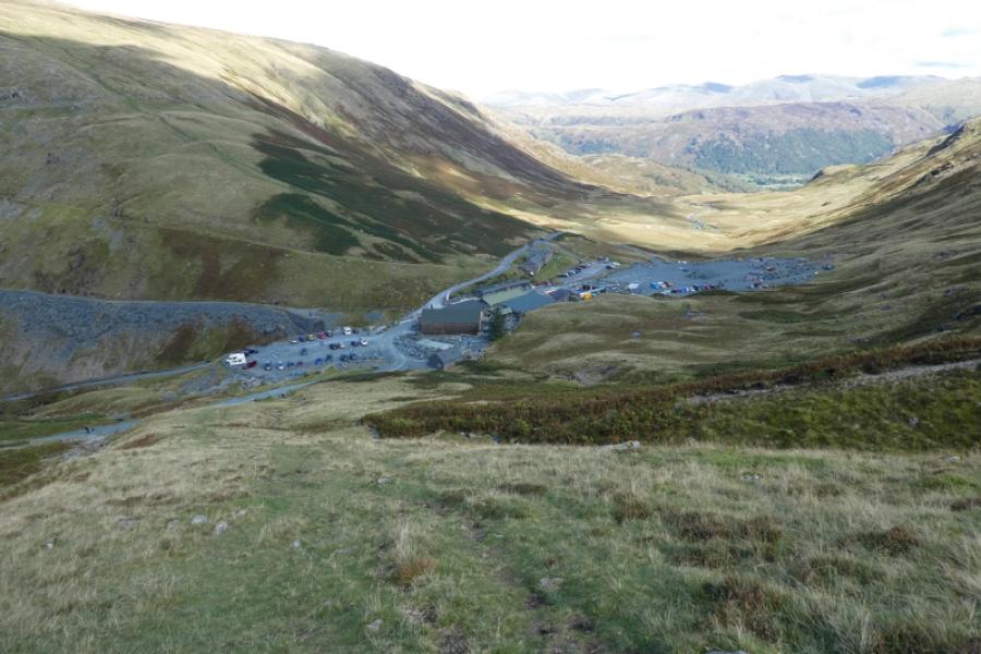
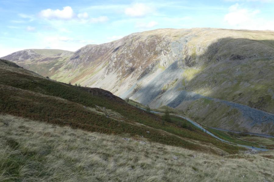
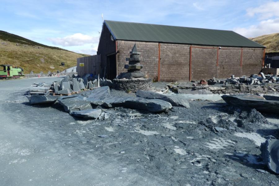
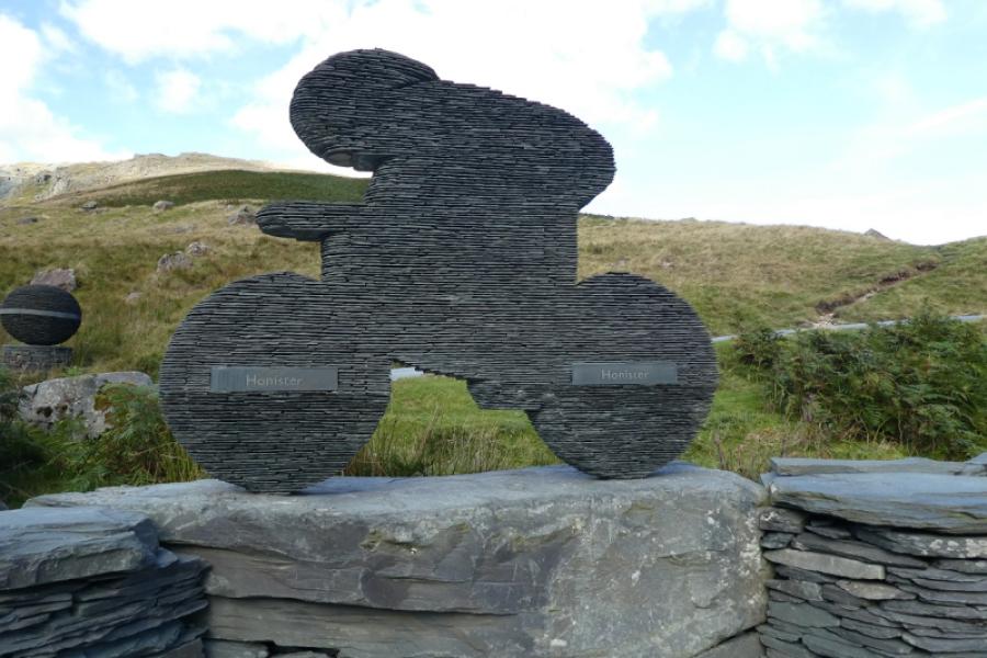
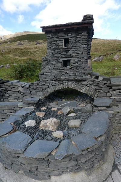
This is a pleasant walk in places but the ascent up the path by Sour Milk Gill is very steep, rocky (some easy scrambling) and slippery when wet but height is gained relatively quickly. Great Gable is not included in this route as it was climbed with Kirk Fell from Wasdale but could be added in after Green Gable although this might mean a reascent of Green Gable. The shortest descent after Grey Knotts would be back down the Sour Milk Gill path but many would prefer a different route after ascending it. This route descends to the top of Honister Pass then walks down the road or alternative paths then back along the road to Seathwaite. Two cars would help here with one at the top of Honister Pass (£5 a day to park in 2024) and one at Seathwaite. Another option is to catch the Stagecoach bus, if running, down to Seatoller. If using this option then take the trouble to check that the service is running that day. Honister Pass Slatemines has a cafe and gift shops plus other activities. In clear weather, there are excellent all round views to Great Gable, the Pillar range, the High Stile range and Dale Head. Skiddaw, Blencathra, Scafell Pike and Helvellyn can all be seen on a clear day.
Route
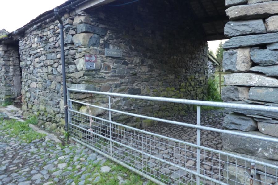
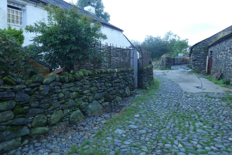
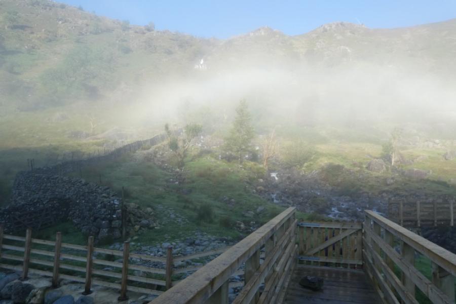
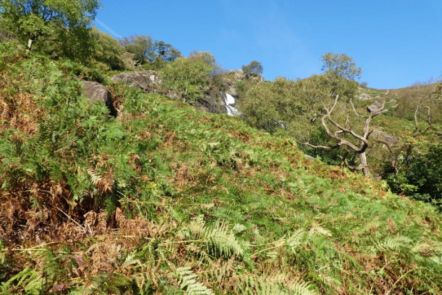
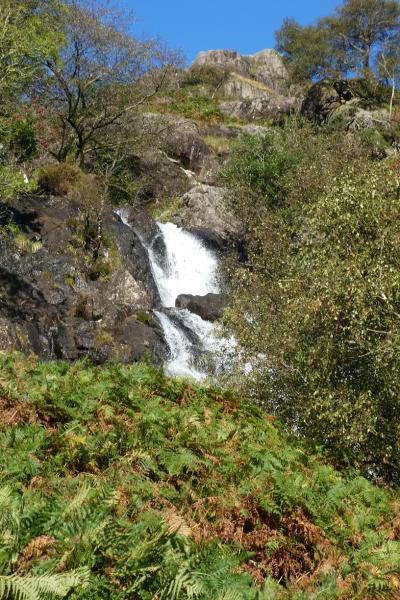
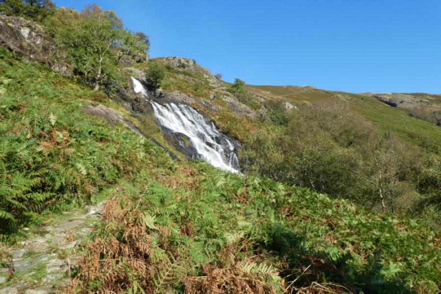
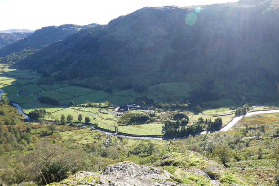
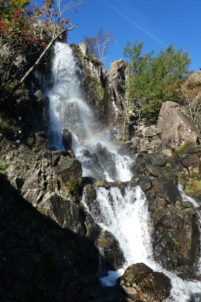
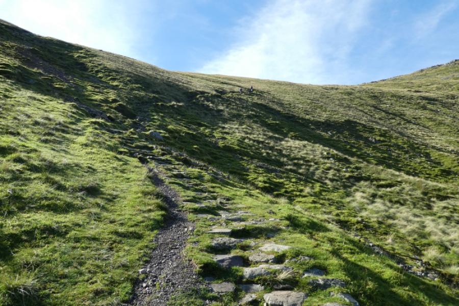
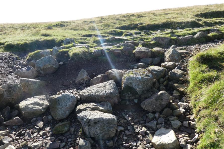
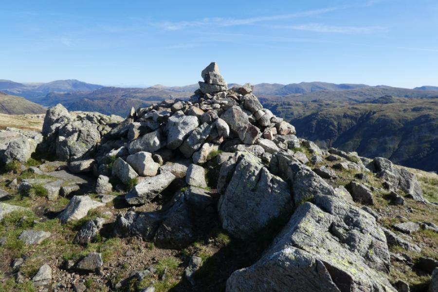
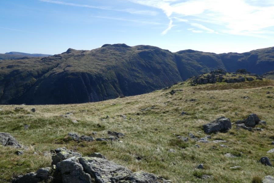
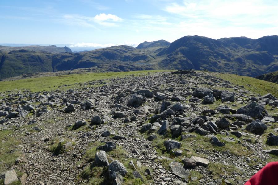
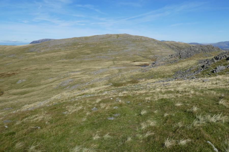
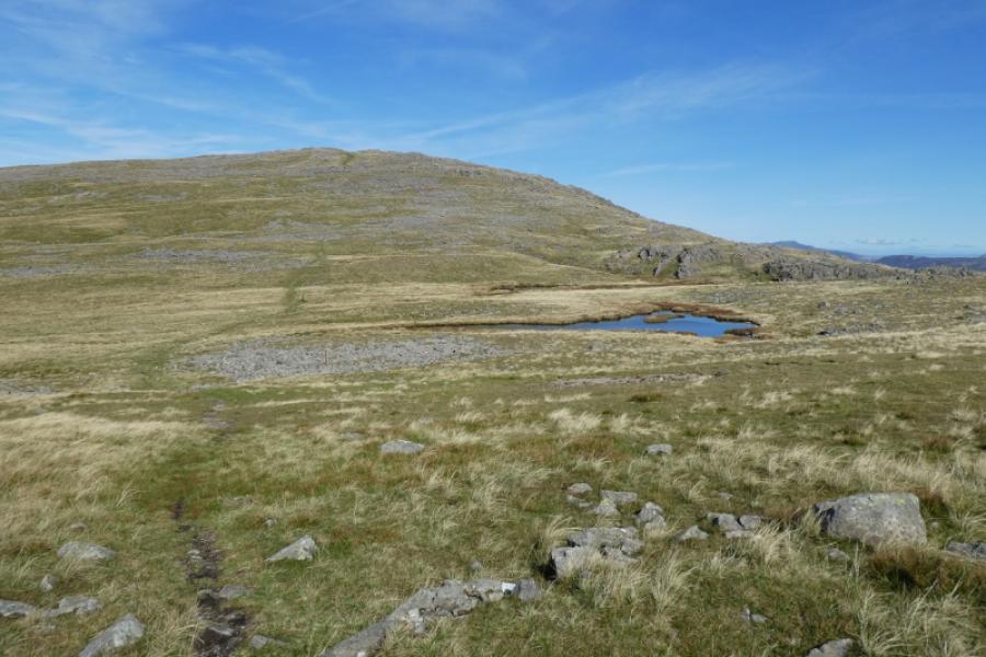
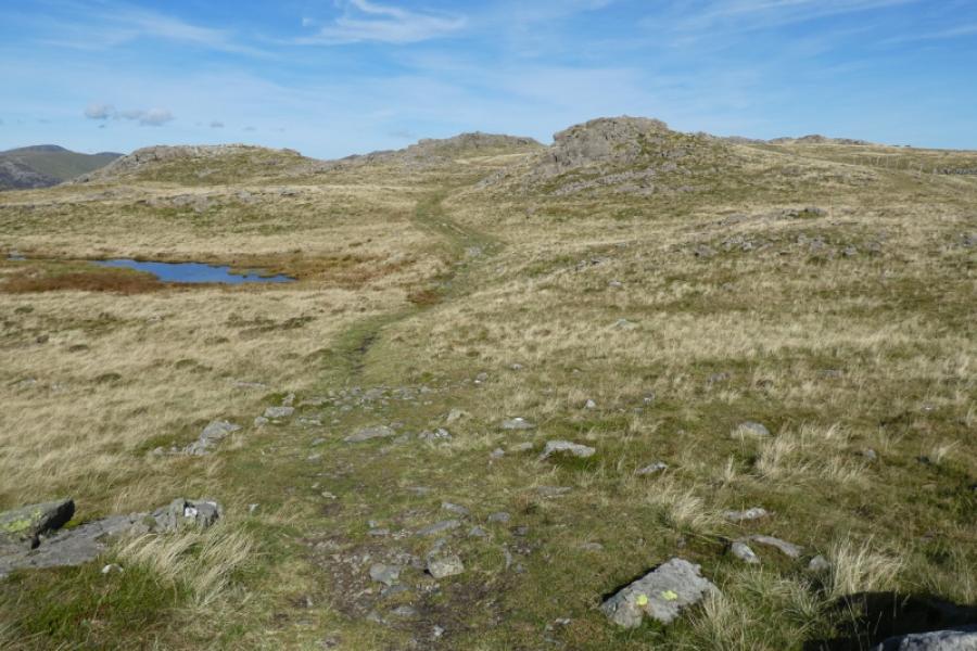
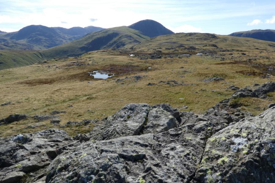
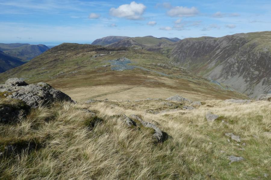
(1) Walk to Seathwaite Farm and keep going until level with some white cottages. Turn right here, metal gate, for Sour Milk Gill. There is a not very obvious “Footpath” sign but soon a bridge takes you across the river. The path is very obvious but steep and goes up the left side of Sour Milk Gill passing a lower then upper waterfall. There are two awkward sections where hands will be needed. Eventually, the ground levels out and a distinct path leads up the valley known as Gillercomb. Grey Knotts is directly across Gillercomb. Follow the path up Gillercombe, passing below Base Brown until the path climbs out of Gillercomb to join the ridge from Green Gable to Base Brown. Turn left and easily walk up gentle slopes, often wet and boggy, to a large cairn which is the summit of Base Brown, 646 m.
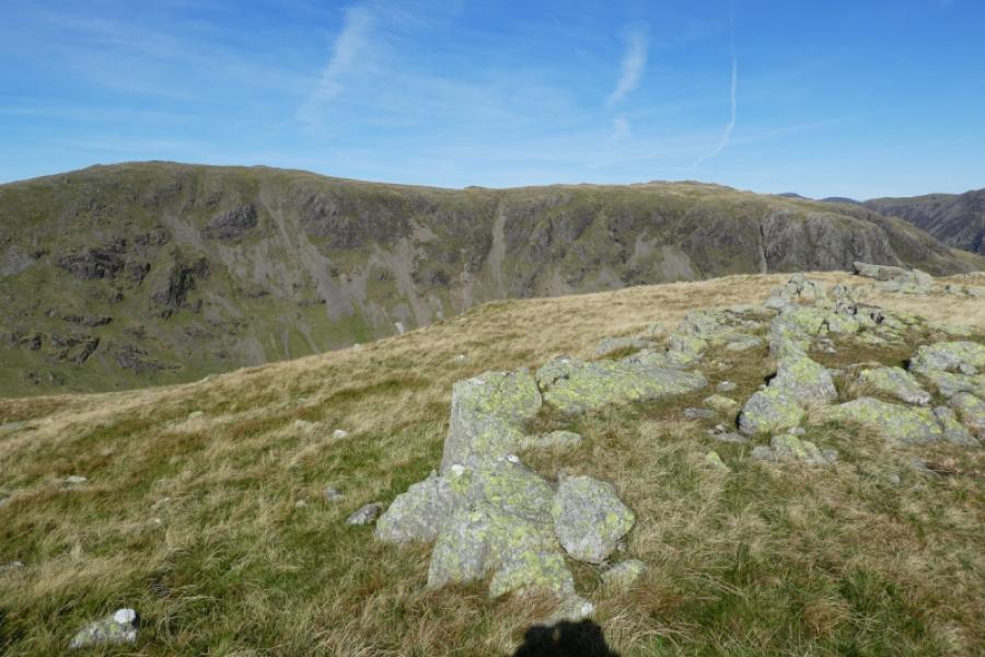
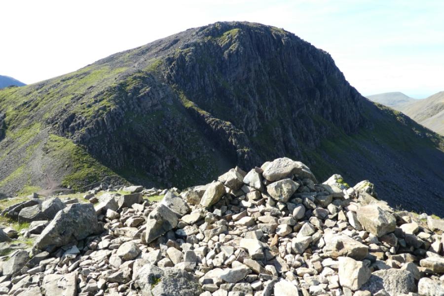
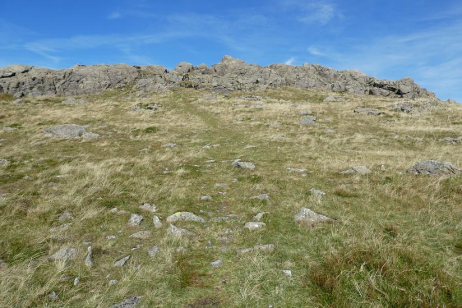
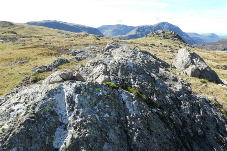
(2) Retrace back to where you climbed out of Gillercomb then continue ahead up Green Gable where there are many, many cairns to guide the way although the ground is often rough and stony. Once the rocky and stony sections are left behind, the hill is mainly grassy. Continue up to reach the medium cairn, on the edge looking towards Great Gable, which is the summit of Green Gable, 801 m.
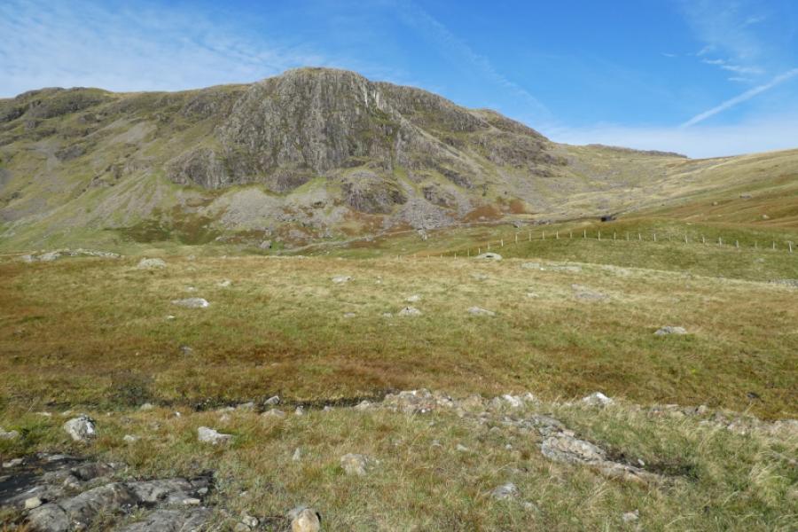
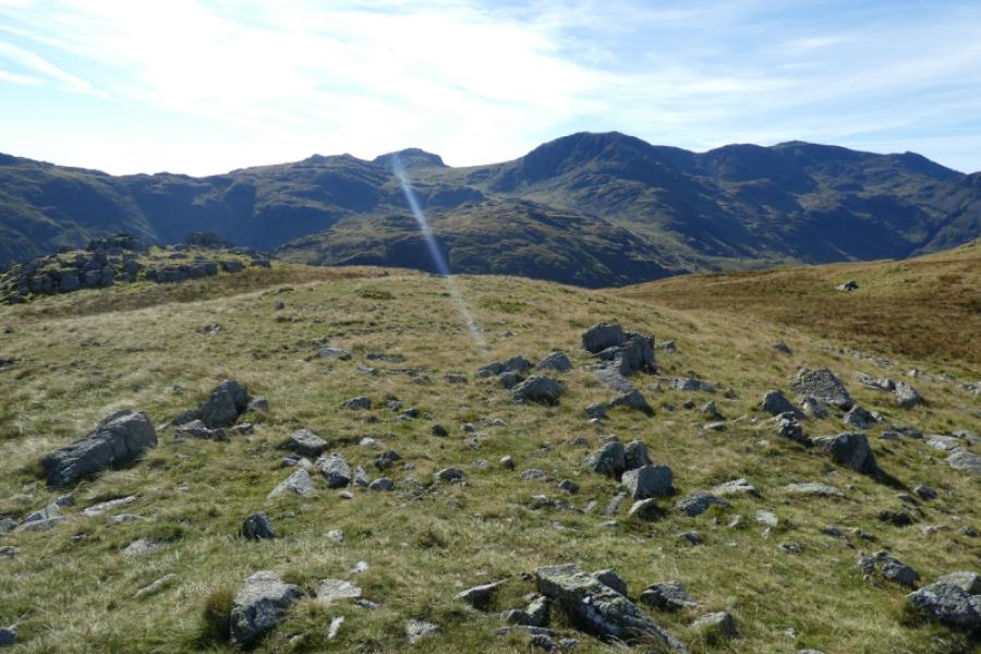
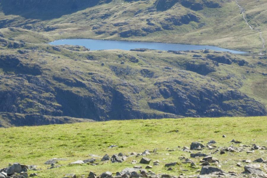
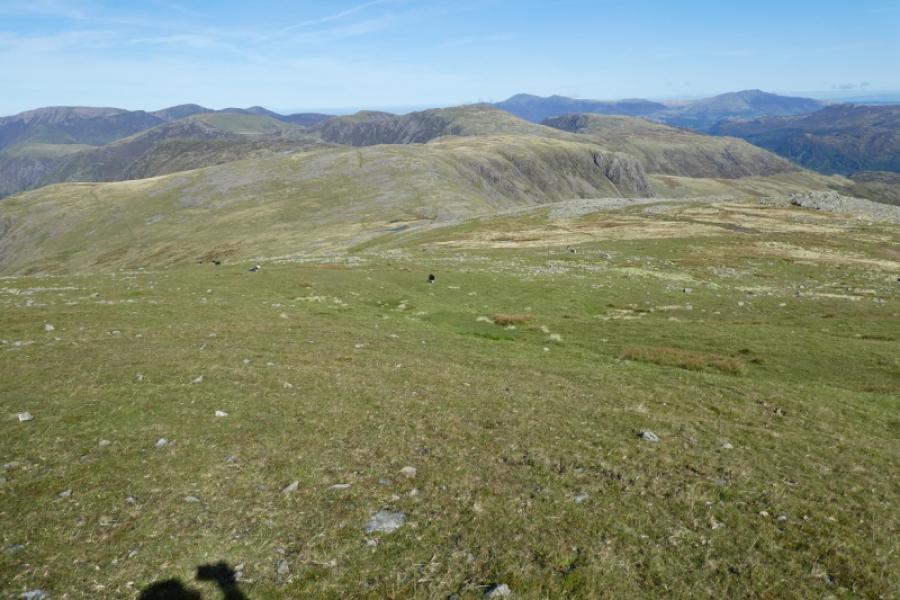
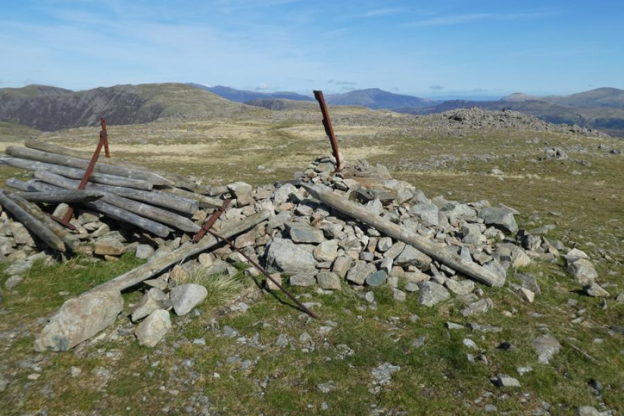
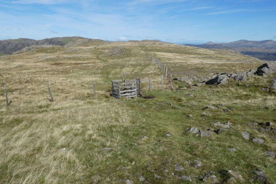
(3) Retrace a short distance then head roughly north down easy but occasionally stony sections on a faint path to reach a col where there are usually a couple of small tarns nearby. Some old rusty fence posts help with navigation. Head up from the col but avoid a path heading off left and stick close to the fence posts until a good path heads towards the top which is on a small plateau and has a large cairn (including some wooden fence posts in 2024) which is the summit of Brandreth, 716 m. Note that there are other cairned tops nearby.
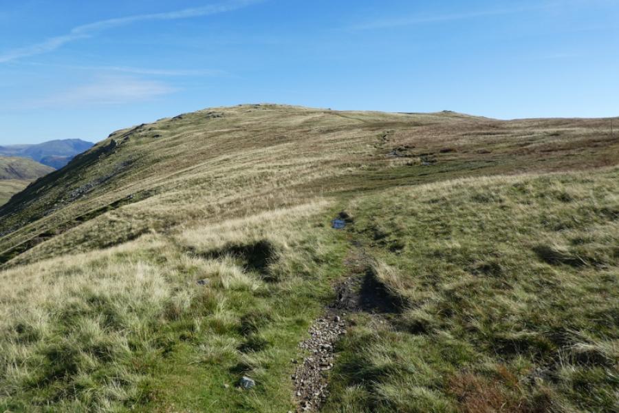
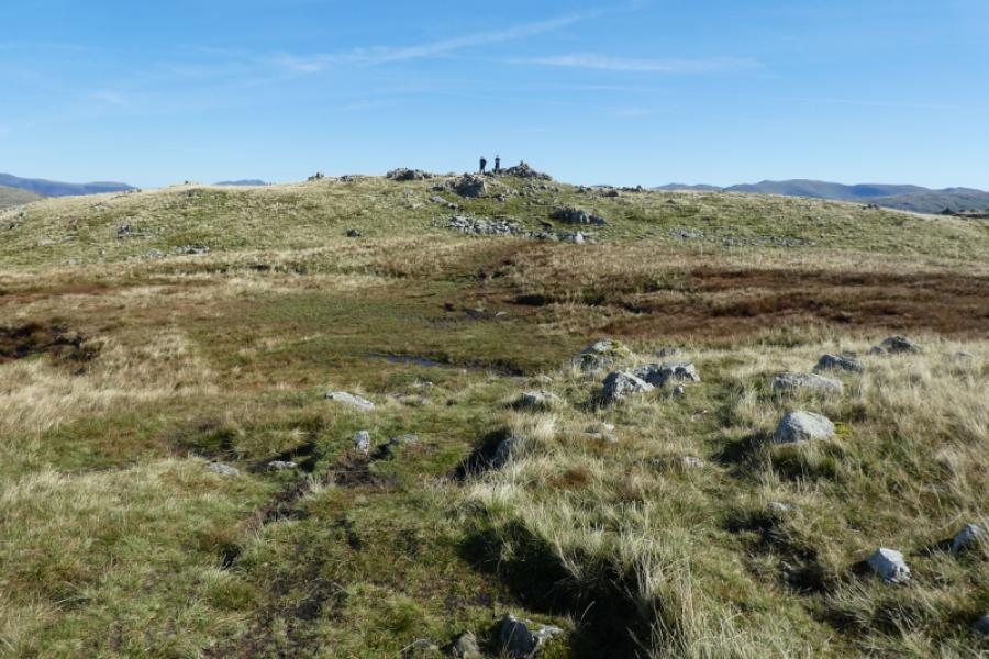
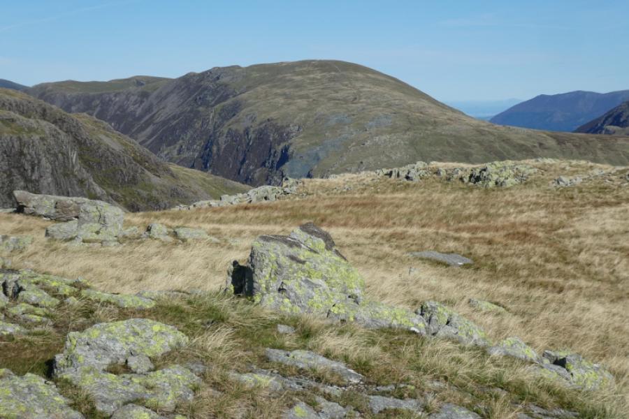
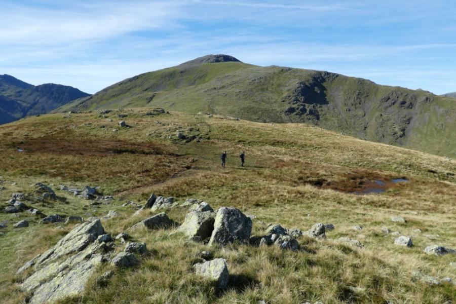
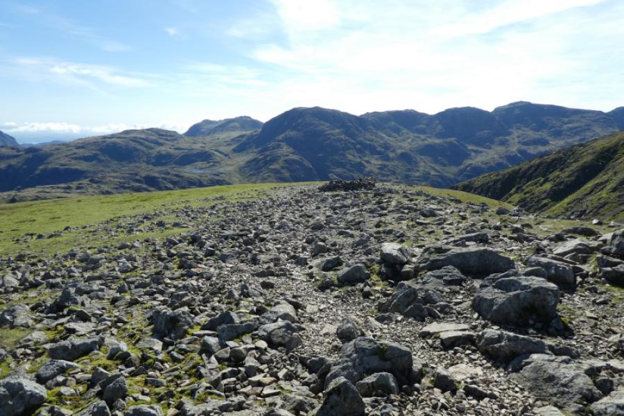
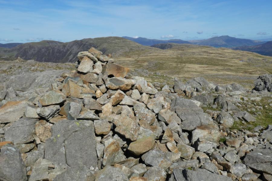
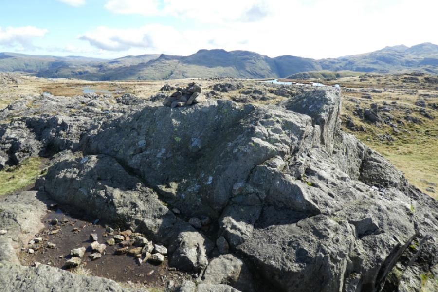
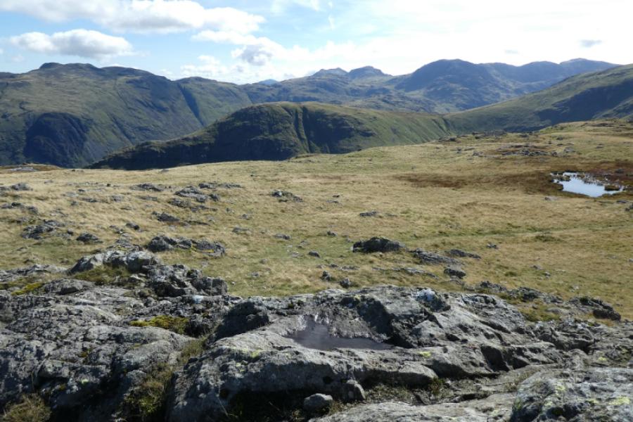
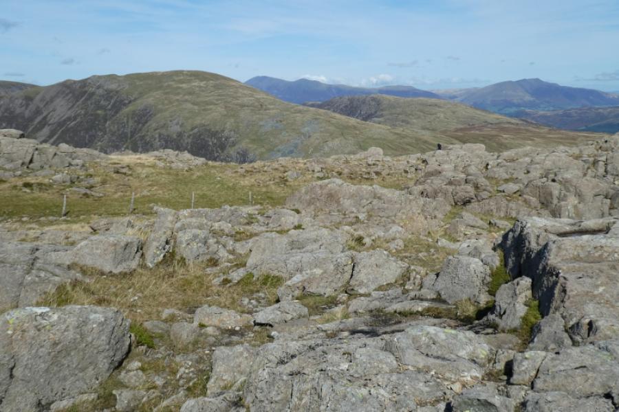
(4) Continue ahead , on a reasonable path, descending a little to reach a gate in a fence. Pass through and follow a decent grassy path up towards Grey Knotts. Reach a small cairn on a rocky outcrop which is the summit of Grey Knotts, 697 m. There is another cairned top back across the fence and a path leads to it but it is lower and has a tiny cairn.
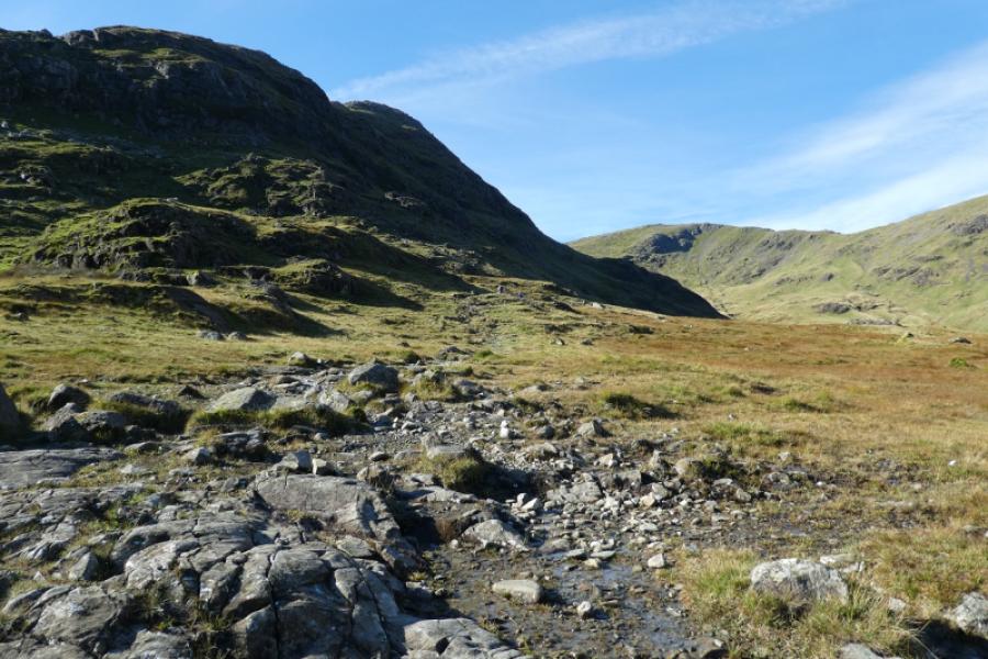
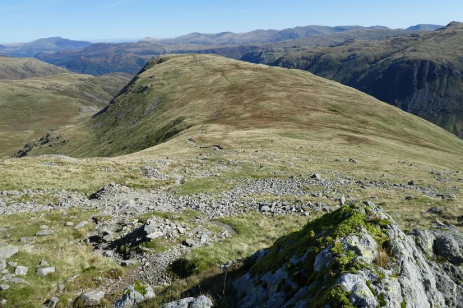
(5) Descend roughly north north east. If it is clear, one can initially aim for Dale Head which is very prominent across Honister Pass. A path, faint in places leads down mainly grassy slopes which can be wet and boggy in places. Soon the Honister Slatemines complex comes into view so continue down until you join a track just before the complex. From there. Return to Seathwaite either by second car, bus to Seatoller then walking to Seathwaite or by walking down the pass using off road paths and tracks where possible.
Notes
(a) This walk took place on 16th September, 2024.
(b) Note that in September 2024, following a landslip on the Buttermere side of Honister Pass, the buses were not running as timetabled hence the importance of checking before setting out.
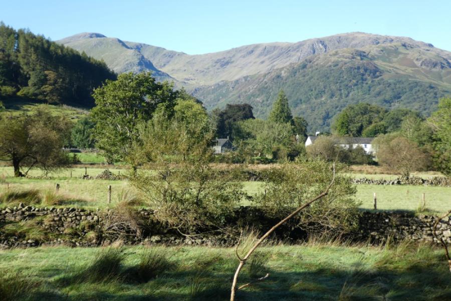
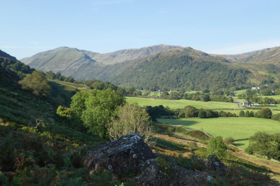
Photos - Hover over photo for caption. Click on to enlarge. Click on again to reduce.