Get Lost Mountaineering
You are here: England » Lake District » 4 Southern Fells
Green Crag, Eskdale from Woolpack Inn
Green Crag, Eskdale from Woolpack Inn
Start/Finish
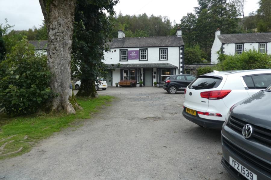
Woolpack Inn, Eskdale, CA19 1TH, or as near as possible. There is a notice in the car park saying “Patrons Only” so you qualify if you spend money afterwards! Adjacent to the inn, and physically joined, is the Hard Knott Bar and Cafe also with a car park. The roads in this part of Eskdale are very narrow with passing places and reversing may be necessary to reach a passing place. The Inn is close to the foot of Hard Knott Pass and not far from the Dalegarth terminus of the Ravenglass and Eskdale railway, known locally as “Old Ratty”. It would be possible to start at Ravenglass, get the railway to Dalegarth then walk to Doctor Bridge but this would add about 5 km to the length of the walk.
Distance/Time
8 km About 3 - 4 hours
Peaks
Green Crag, 489 m, NY 200 983. OL6 South Western Lakes
Introduction
Green Crag is often overlooked being so claose to the much higher Harter Fell but it is a fine and rugged little mountain. For many it is the “baby” in the round of Green Crag, Harter Fell and Hard Knott but it deserves a day to itself so give it the time it deserves and don't be a SOLLT (Speed of Light List Ticker). The mountains of the Lake District are there to be savoured and enjoyed not rushed with as many climbed in a day as possible.
Route
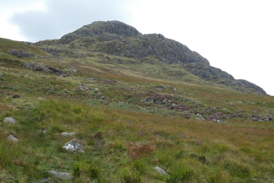
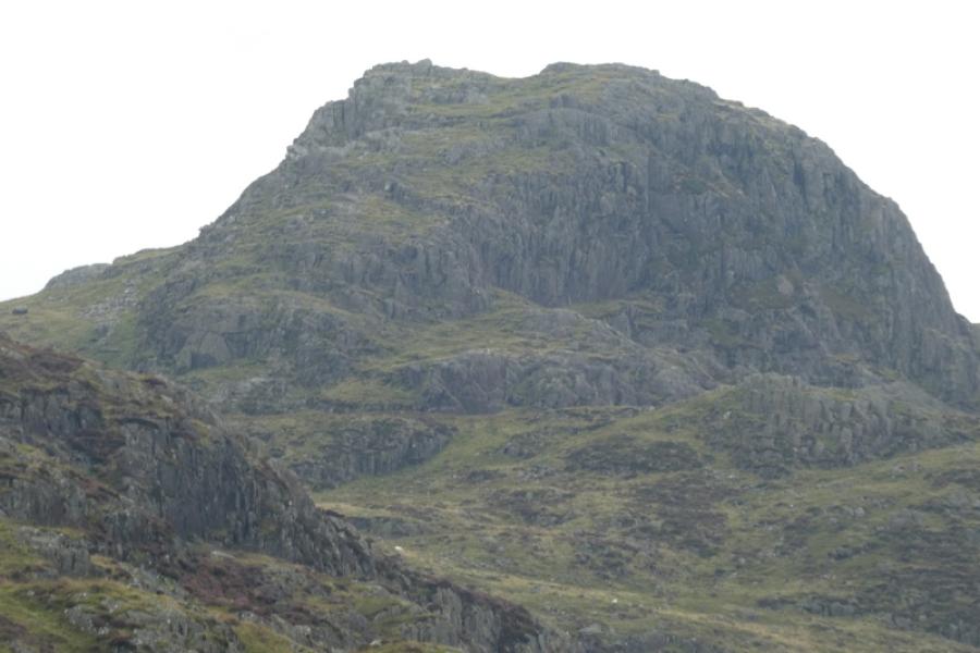
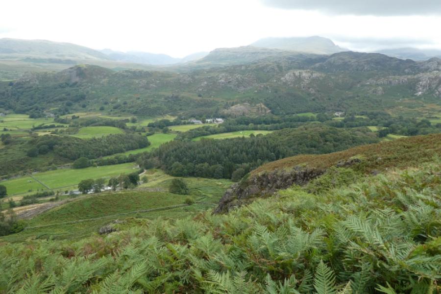
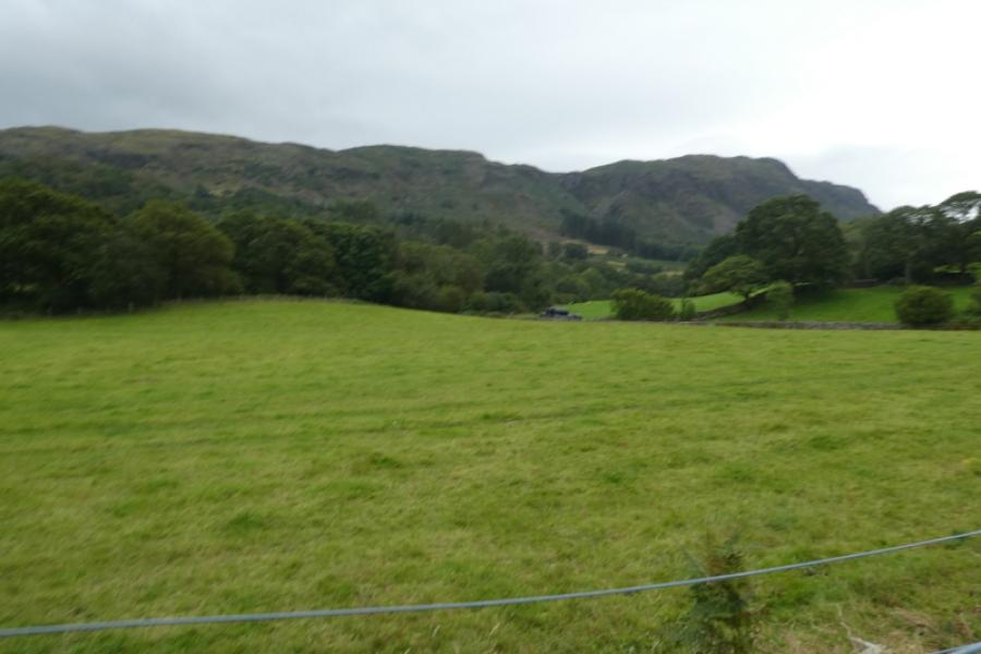
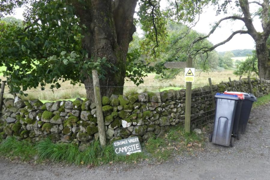
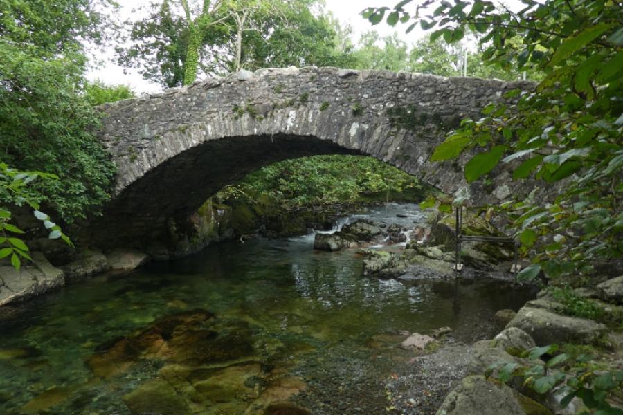
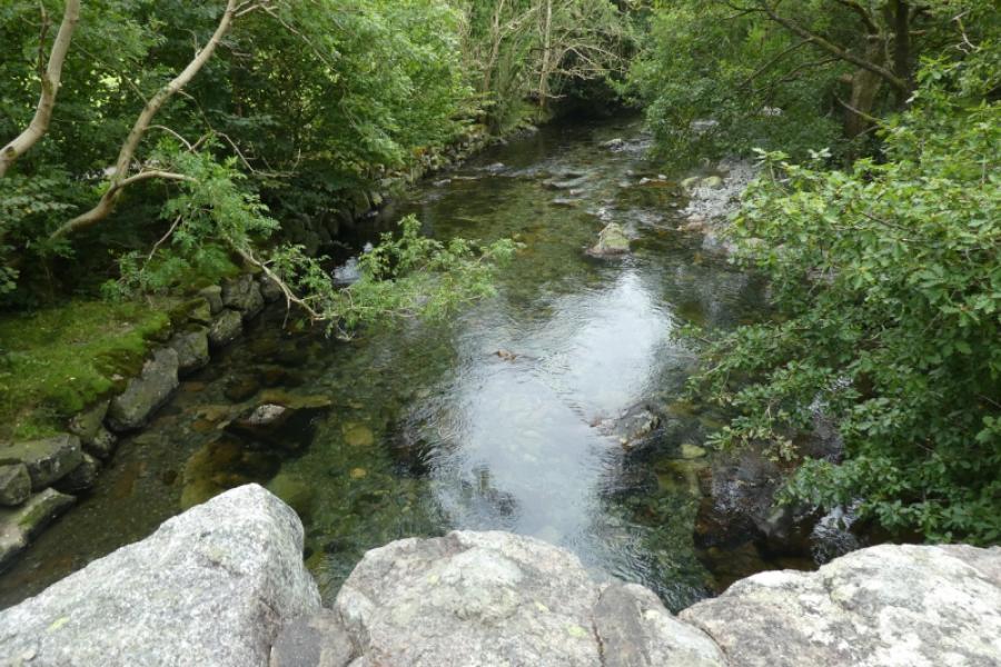
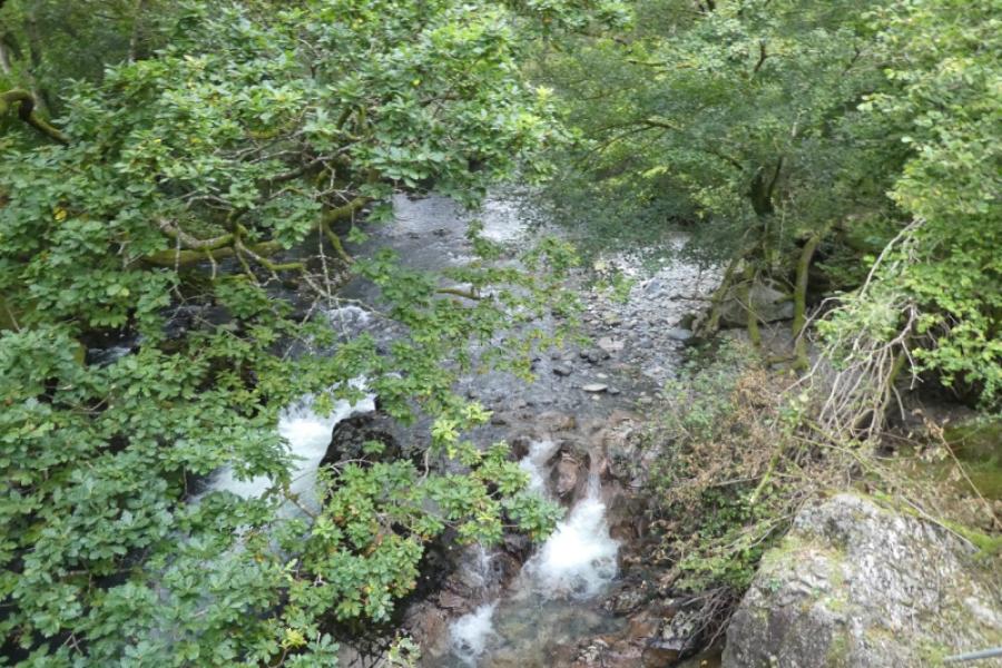
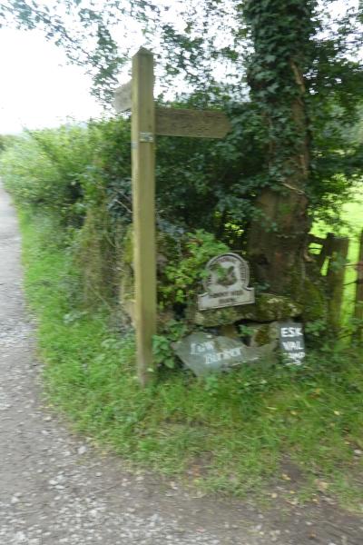
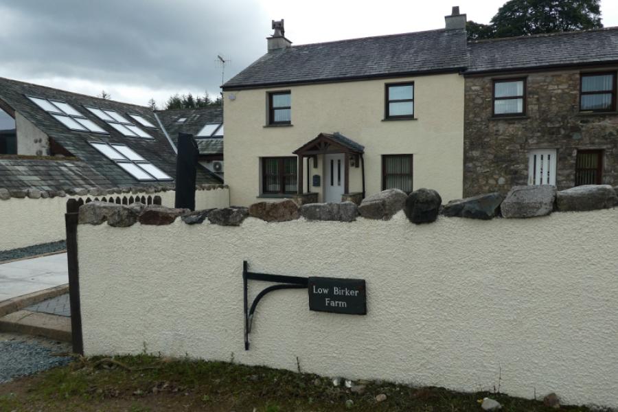
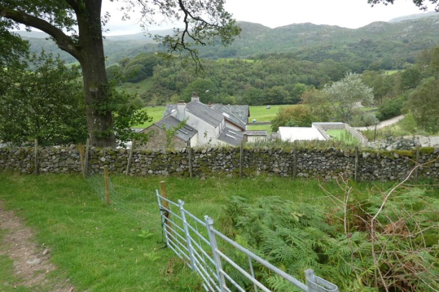
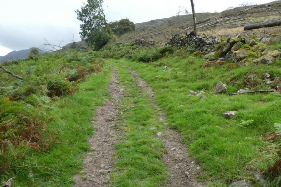
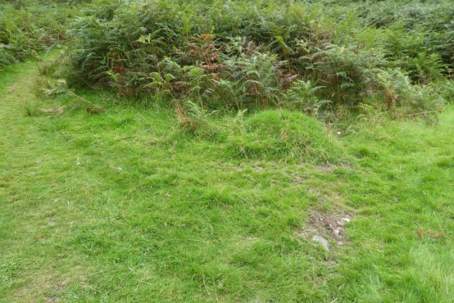
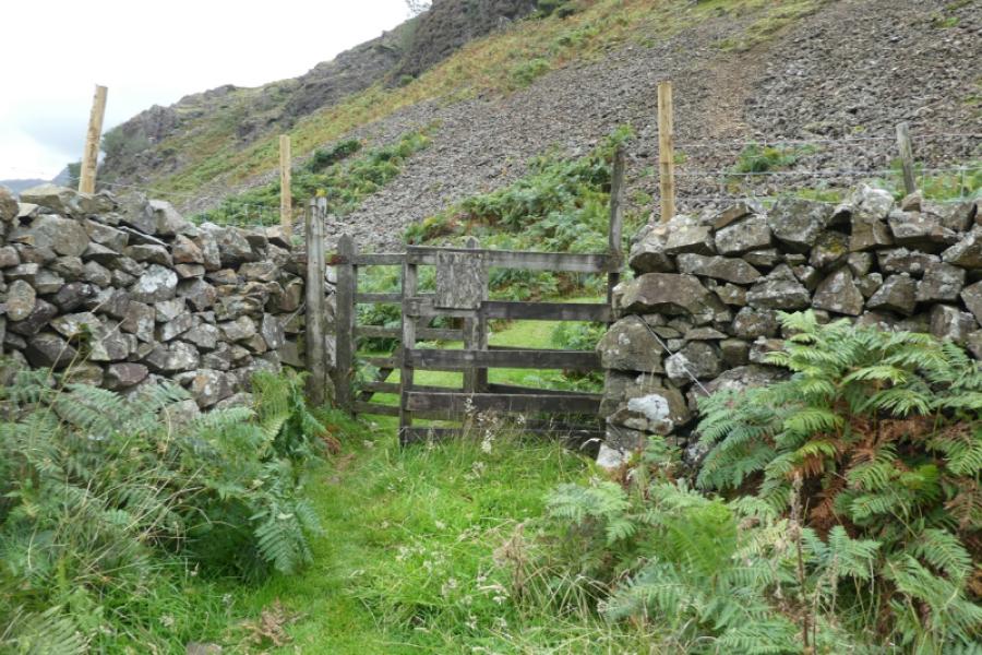
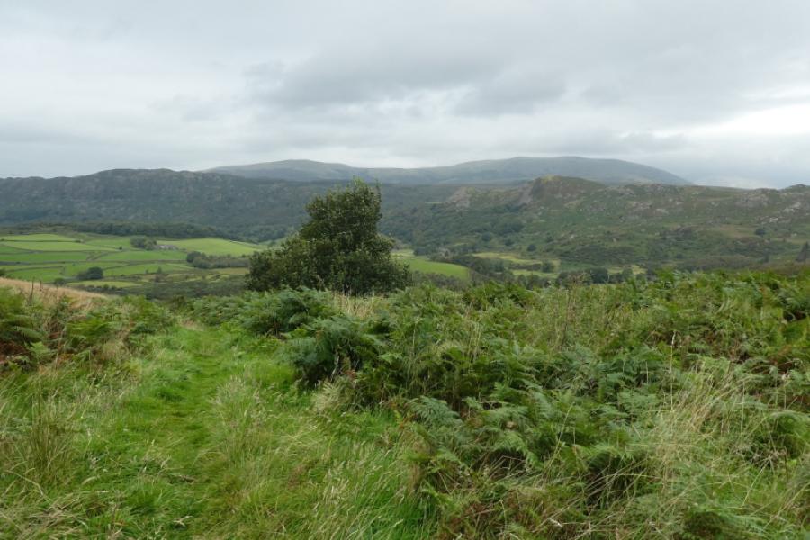
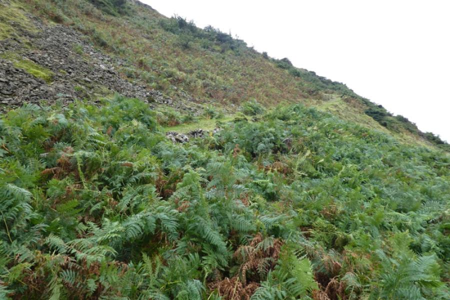
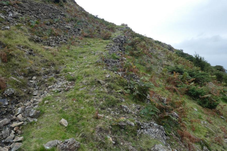
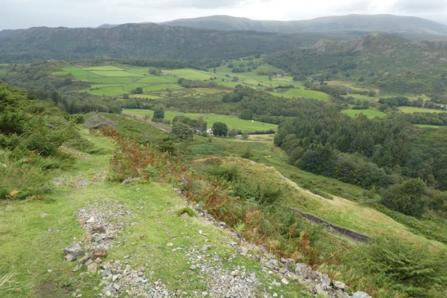
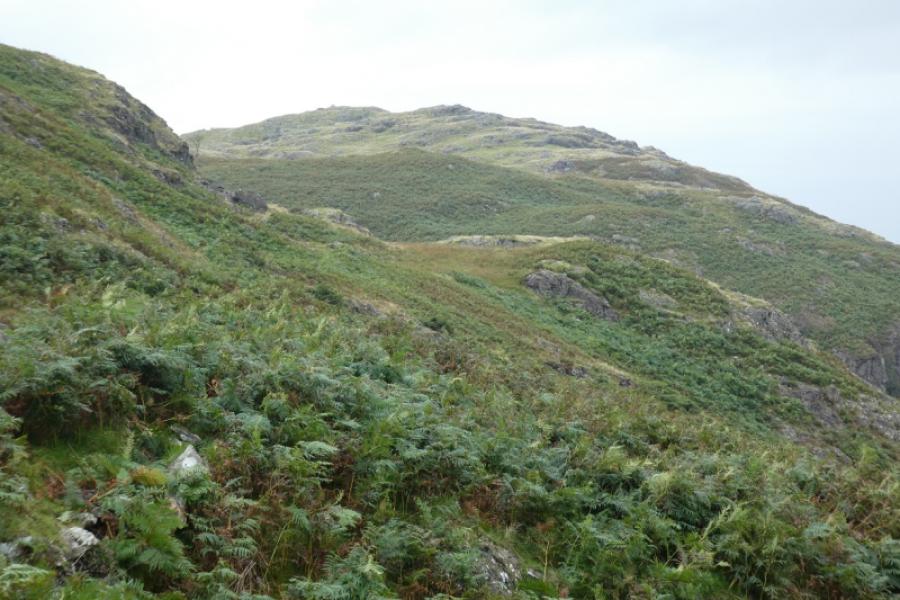
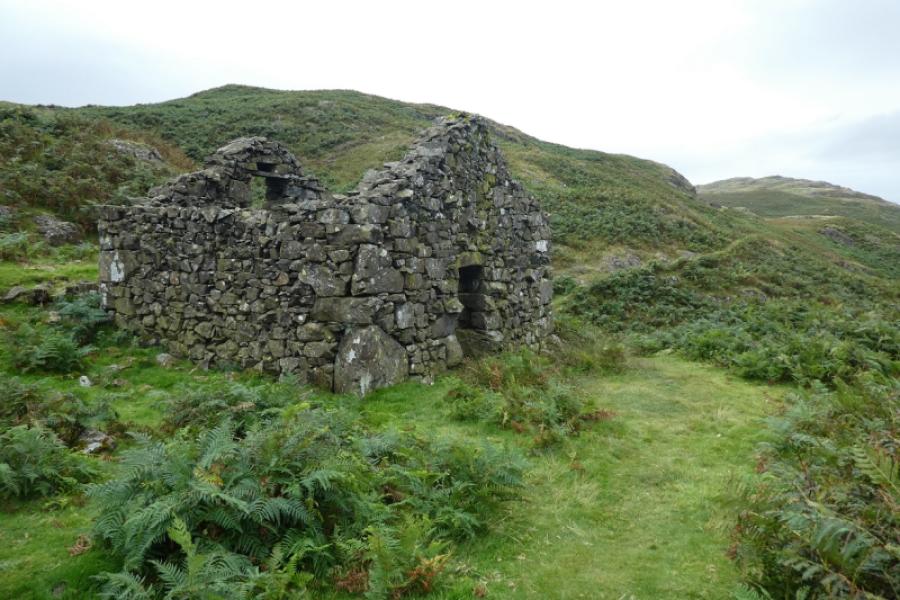
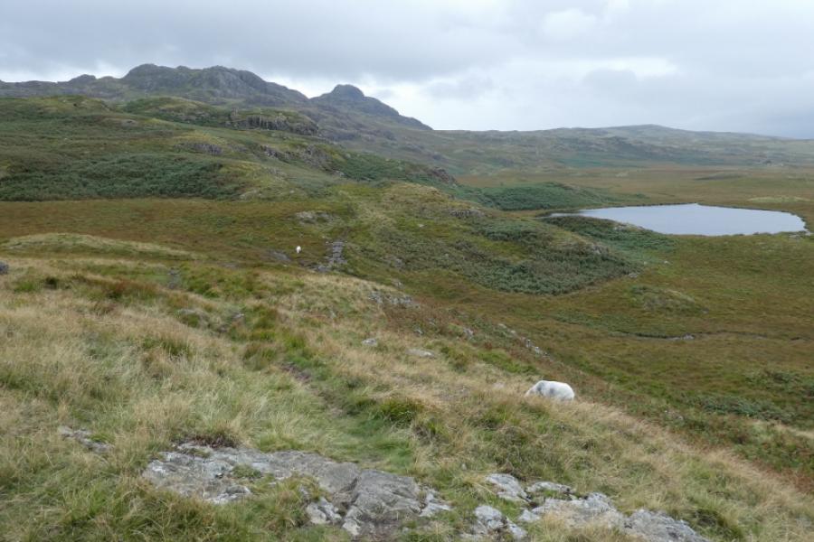
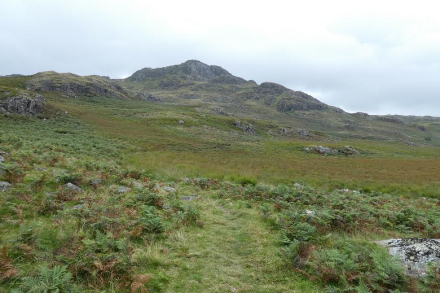
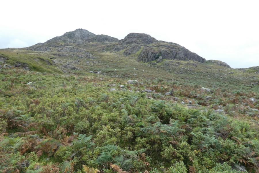
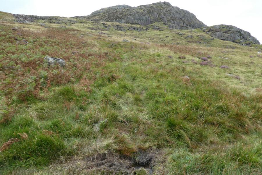
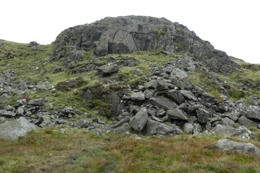
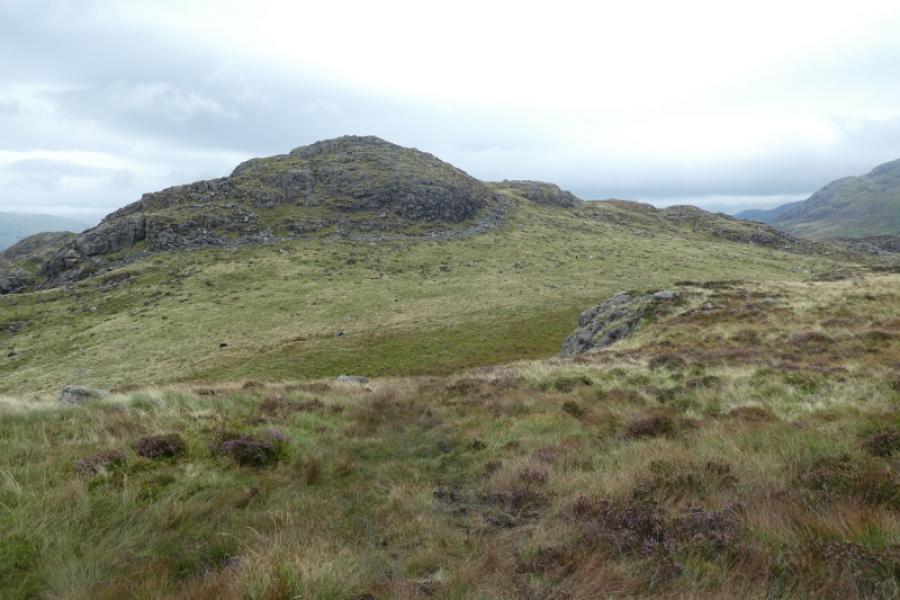
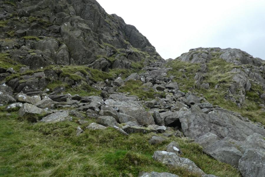
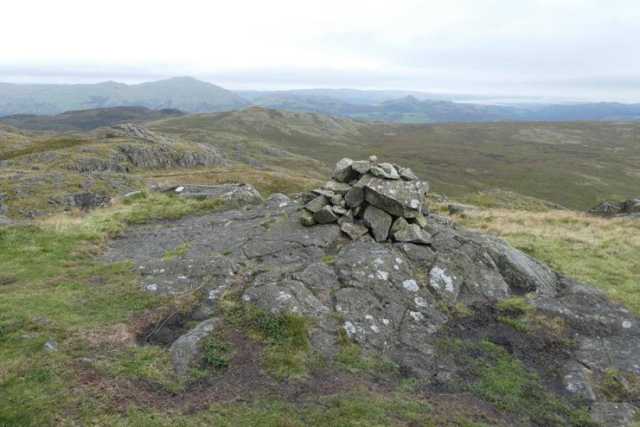
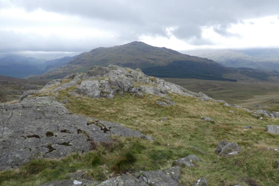
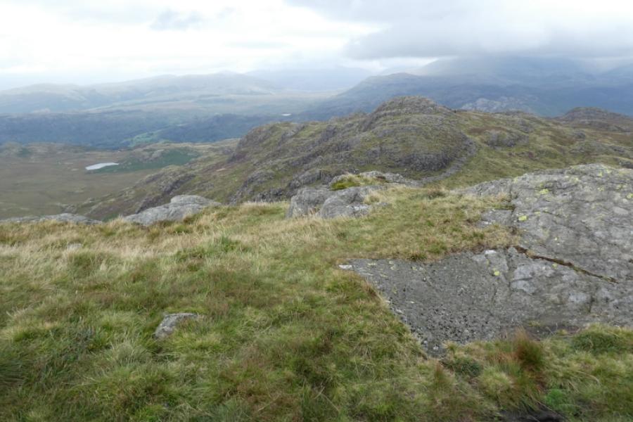
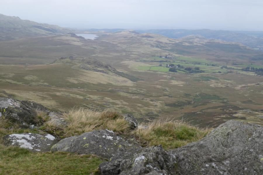
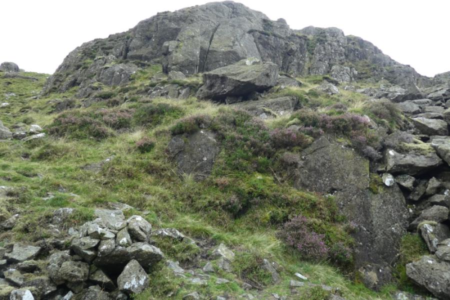
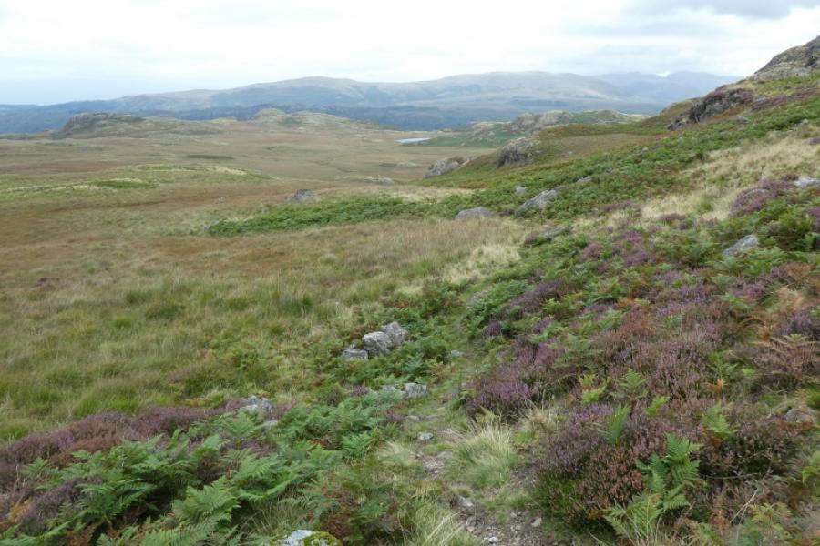
(1) From the Woolpack Inn, walk west along the road for a short distance to reach a very minor road on the left going to Eskdale Valley Campsite. Follow the road (nowhere to park on it) to soon reach the old Doctor Bridge. Cross over then turn right and follow the road/track to Low Birker Farm passing the campsite (seemingly just a field with a portaloo) on the way. Either go through the “farm” to reach the grassy track above it and turn left. Alternatively, take the permissive path to join the track a little further along then turn left back towards Low Birker Farm. Follow the grassy track uphill until it splits. The track goes right to a gate but this route goes straight ahead on an obvious grassy path. Follow the path which zig zags up (in places it seems to be the remains of an old track) to reach a kissing gate. Pass through then follow the path to the right on what seems a gently rising traverse. Reach an old stone hut, still intact apart from no roof anymore. Continue on the obvious path. The hill far ahead seems to be Gate Crag which is not on this route. As Gate Crag gets nearer, the path goes left and around Tarn Crag after which it isn't quite as well defined, but still easy to follow, and there are some wet and boggy patches to come. Pass Low Birker Tarn (below and off to the right). By now, some rocky tops will be visible ahead. The main bunch are those around Crook Crag; Green Crag seems detached and off to the right. Continue on the path, taking minor detours here and there to avoid wet and boggy ground. The path goes around to the right of the Crook Crag tops and soon after the grassy col between The Pike and Green Crag should be visible. The path heads up towards this col then drifts right towards Green Crag which looks very rocky with some large buttresses. The path avoids all difficulties and goes around to the left before cutting back up a stony groove which starts with a very small boulder field. The path continues below the buttresses then curves left up easy grass to reach a flattish area where a small cairn marks the summit of Green Crag, 489 m. In clear weather, harter Fell is very prominent tot he north east. Devoke water will also be seen to the west south west. Cars may even be spotted on the Birker Fell road, the usual alternative to Hard Knott Pass.
(2) Retrace the outward route back to the Woolpack Inn.
Notes
(a) This walk took place on 1st September, 2024.
Photos - Hover over photo for caption. Click on to enlarge. Click on again to reduce.


 from path back towards Low Birker Tarn.JPG)
 from path near Low Birker Tarn.JPG)
 from path back towards Low Birker Tarn.JPG)