Get Lost Mountaineering
You are here: England » Lake District » 7 Western Fells
Haycock & Caw Fell from Wasdale via Nether Beck
Haycock & Caw Fell from Wasdale via Nether Beck.
from small parking area by Nether Beck Bridge
Start/Finish
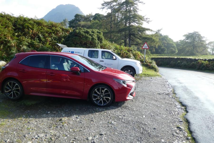
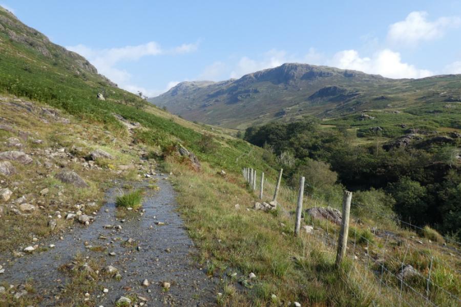
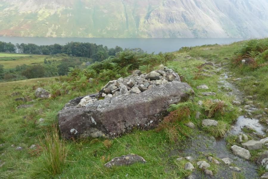
Small parking area just to east of Nether Beck bridge on the road by Wastwater. There is space for 4 cars if parked sensibly at right angles to the road. Otherwise park sensibly on the road but not in a passing place. There is a National Trust car park, not easily spotted, about half a mile west just to the west of Overbeck Bridge, the next bridge west after Nether beck Bridge.
Distance/Time
15 km About 7 – 8 hours
Peaks
Haycock, 797 m, NY 123 119.
Caw Fell, 690 m, NY 132 110. OS 90: Penrith & Keswick. OL4 North Western Lakes.
Introduction
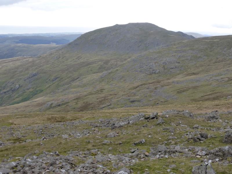
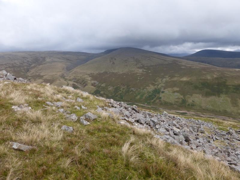
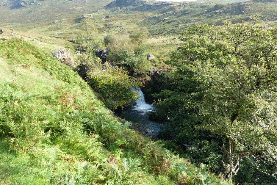
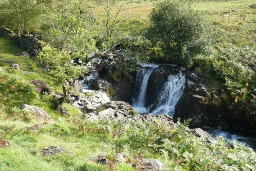
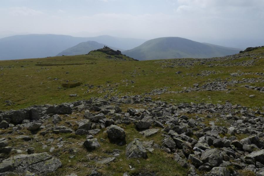
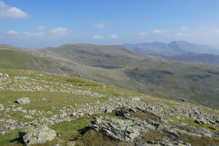
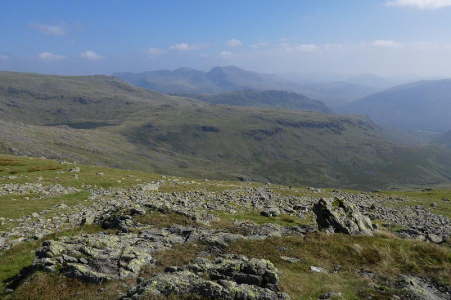
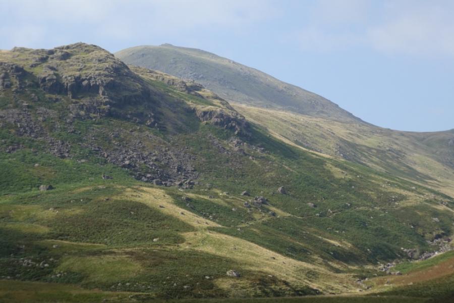
This is a tough walk as the path up Nether Beck is very rough and stony in places and can also be very wet in places which makes for very slow going. The path is generally easy to follow but is faint in a few places. Haycock is an excellent viewpoint for Steeple and Scoat Fell and good for Red Pike and Seatallan. On a very clear day, distant Scafell Pike and Scafell will also be seen. Haycock has to be reascended after Caw Fell but this is more pleasant than the Nether Beck path.
Route
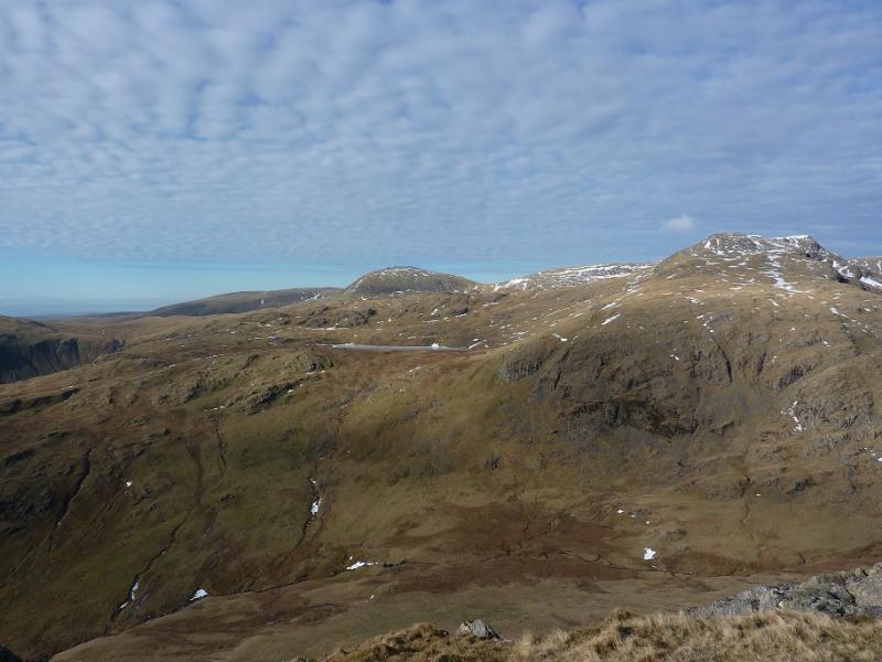
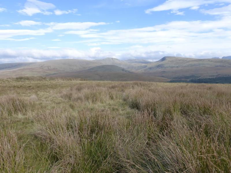
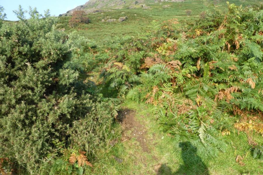
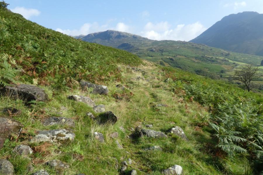
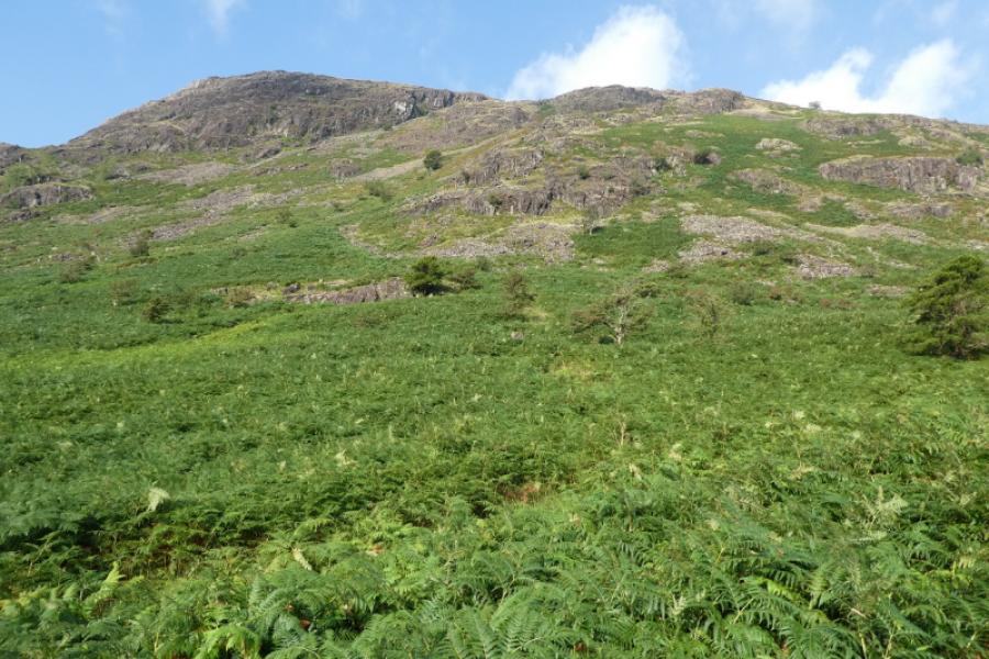
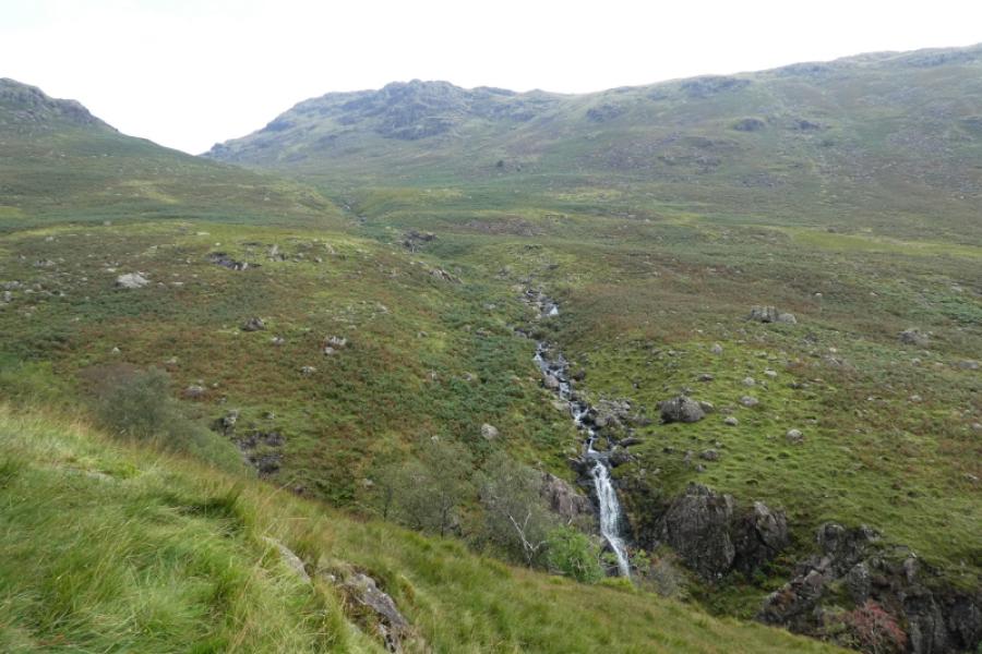
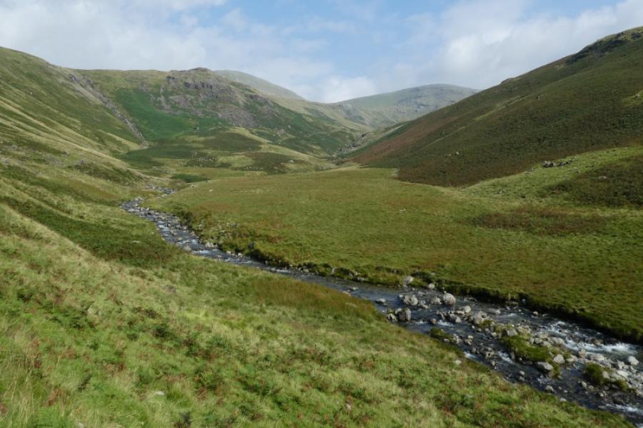
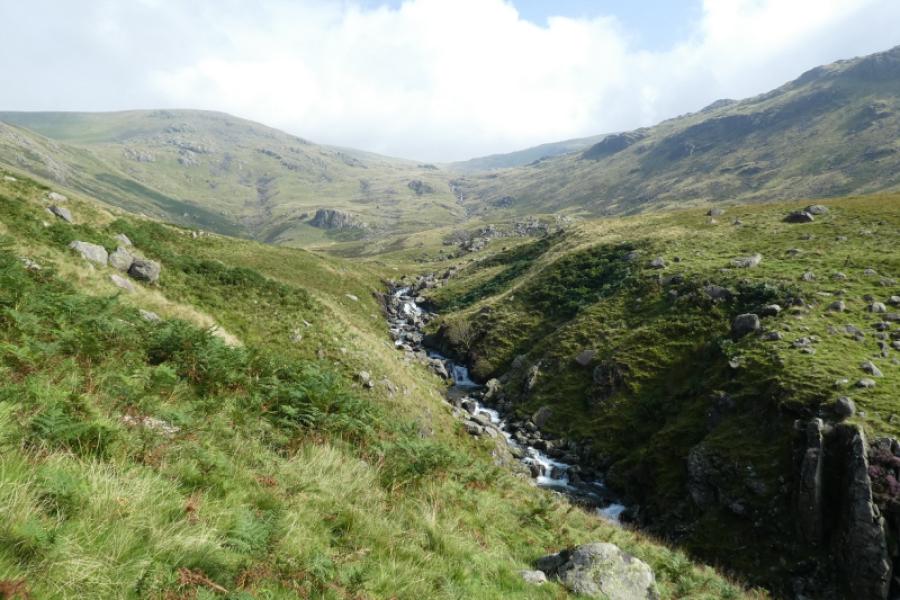
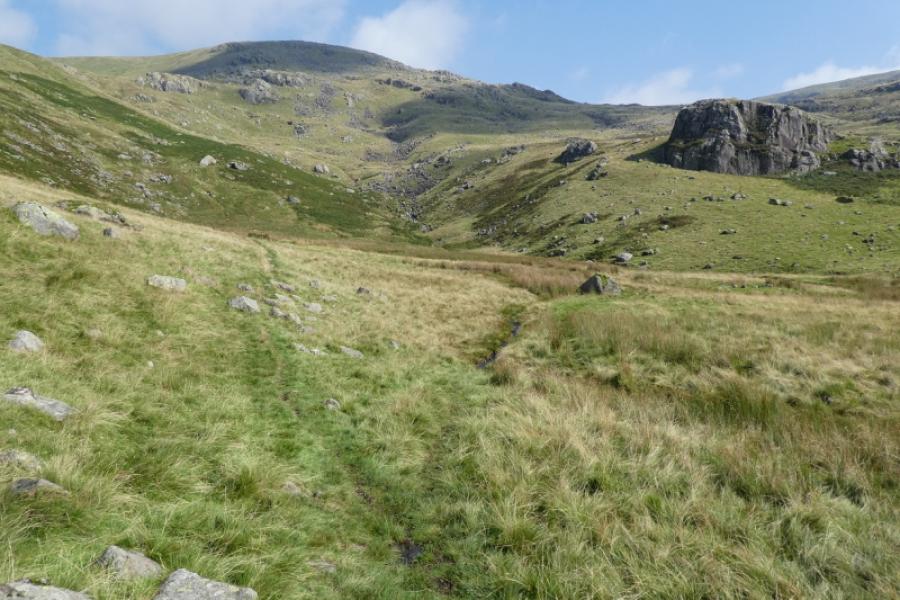
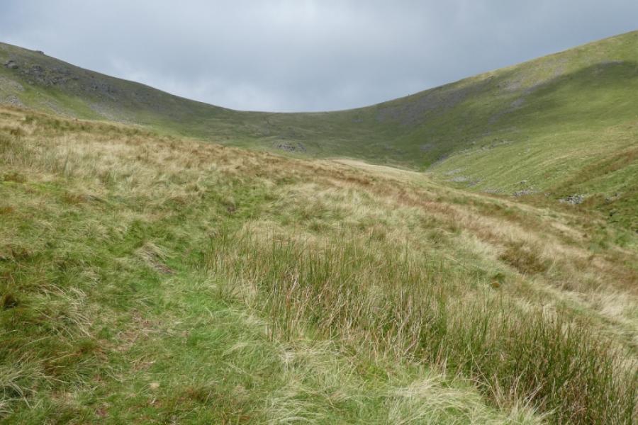
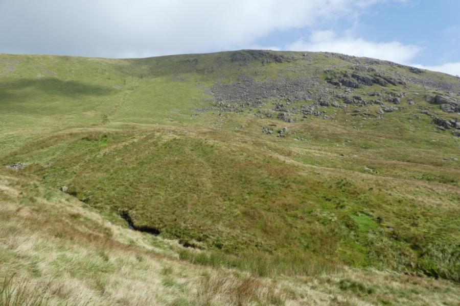
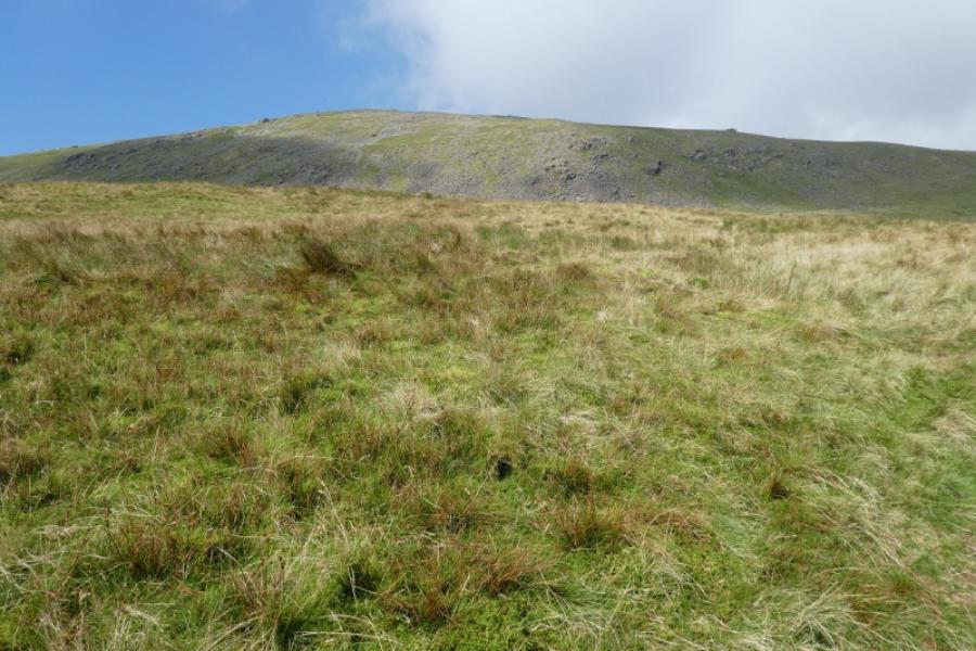
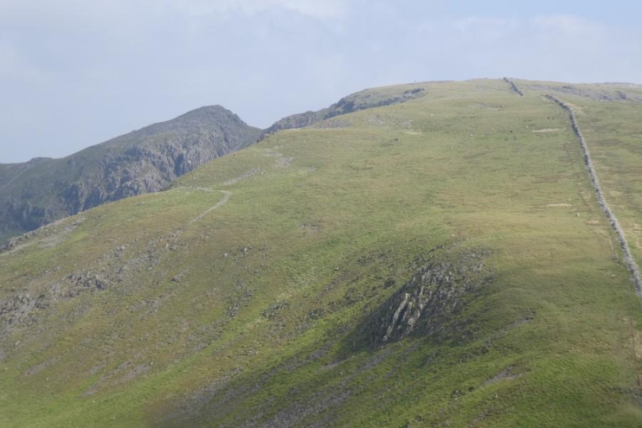
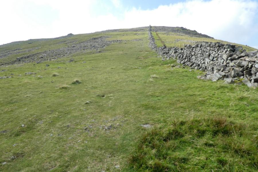
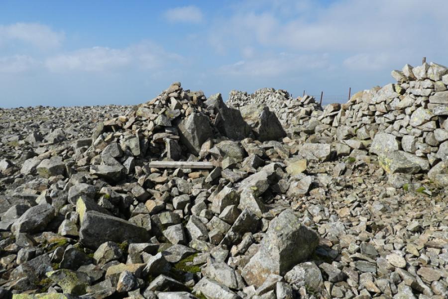
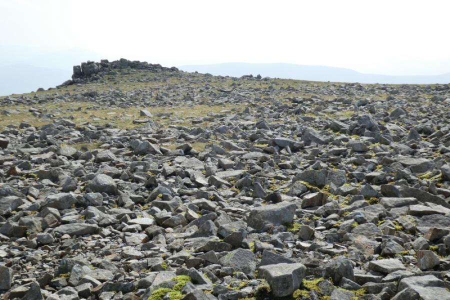
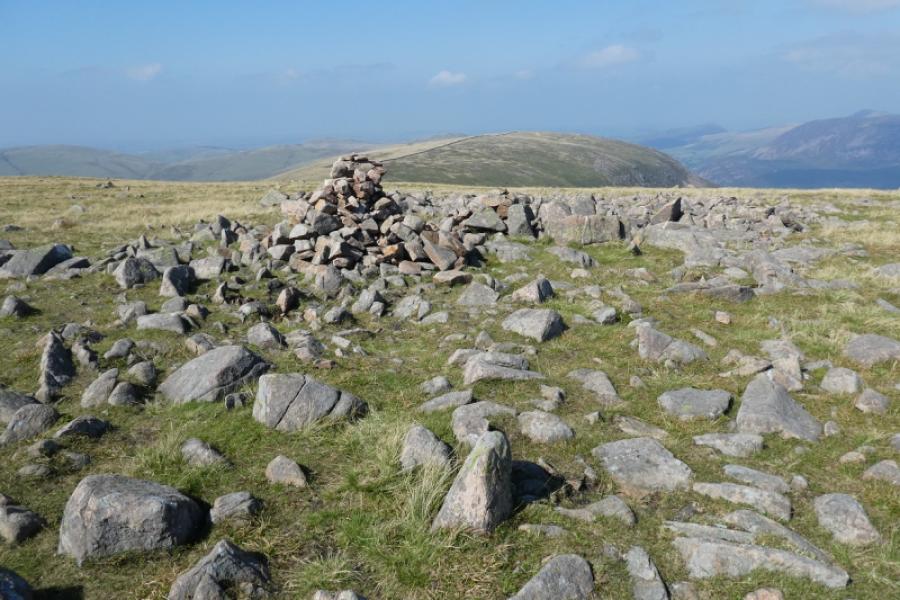
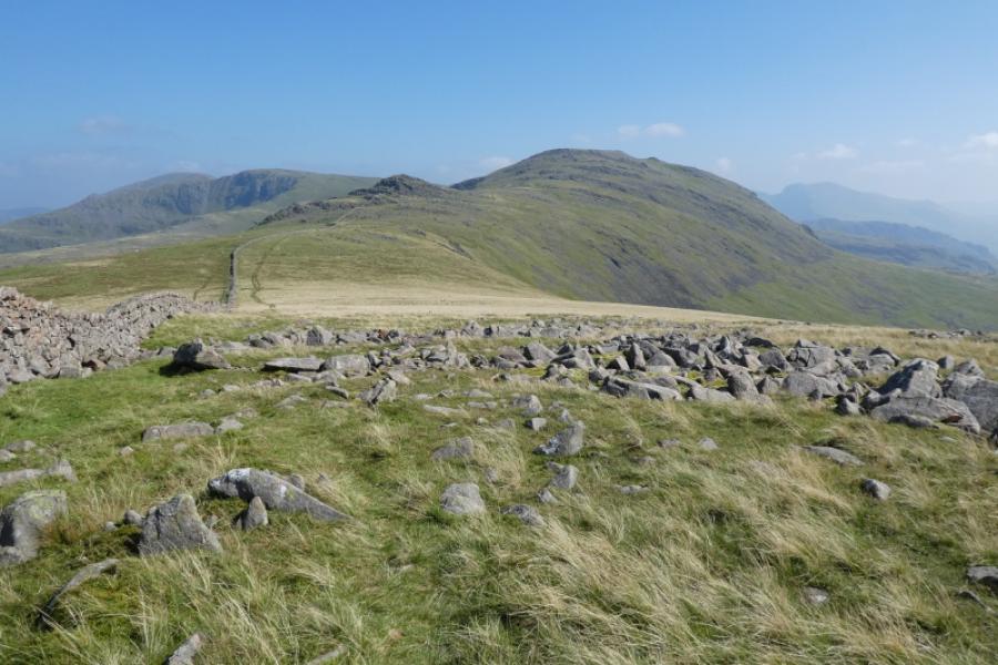
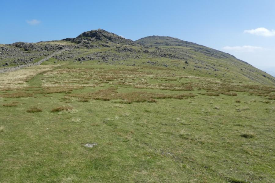
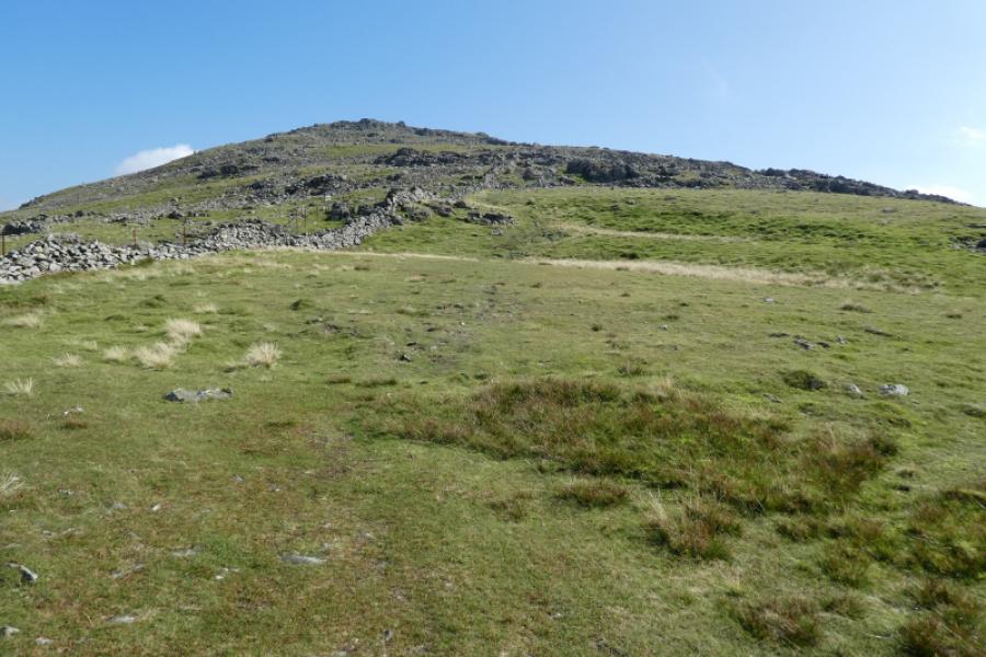
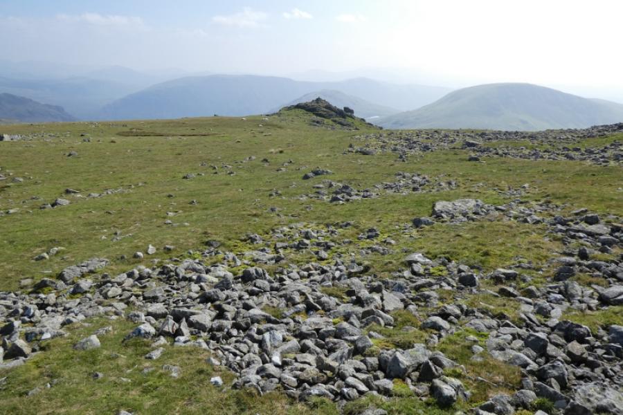
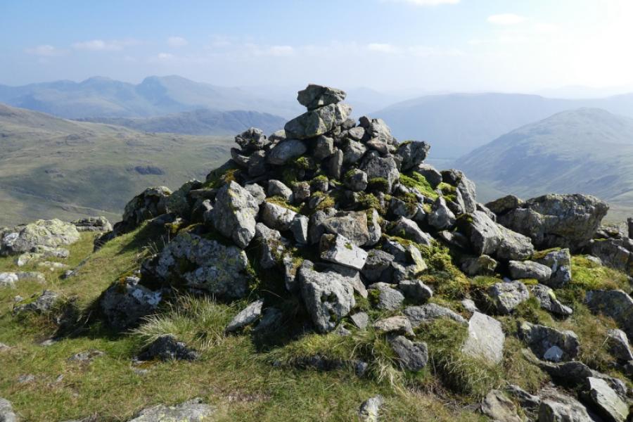
(1) From the small parking area, a path leads out of its western end and through the ferns. The path, wet and boggy in places, picks its way up towards the main path up Nether Beck which actually starts further west on the road. Follow the main path with good views of the many waterfalls in Nether Beck and some of its tributaries/ In clear weather, Haycock will be seen early on as it has a distinctive cairn on its summit plateau although that cairn is not the actual summit. Soon, Scoat Fell will also be seen to the right of Haycock. After about 3 km, the path splits and Nether Beck forks off right, near a prominent crag on the other side of Nether Beck, heading for Scoat Tarn (unseen from here). Ignore the path to Scoat Tarn and take the left fork, almost straight on and follow it up to eventually reach the col between Scoat Fell and Haycock where there is a cairn. Turn left, WSW, and ascend by the wall to a large cairn which marks the summit of Haycock, 797 m. There is a shelter cairn across the wall. In the opposite direction is a small outcrop almost as high as the summit. Beyond here is the cairn seen from the Nether Beck path.
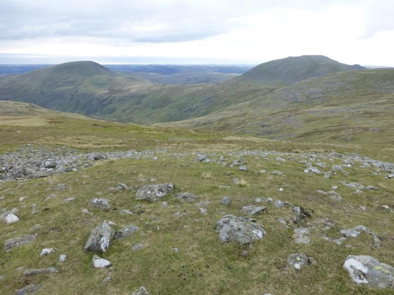
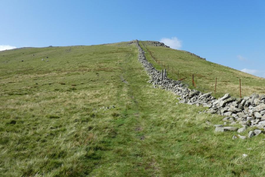
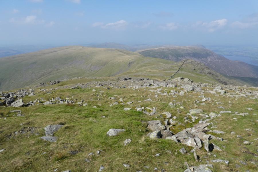
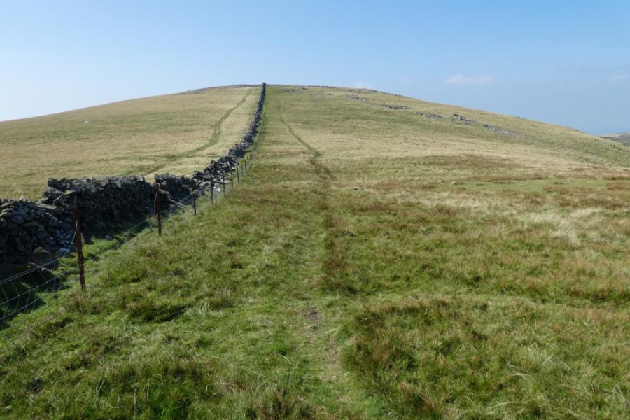
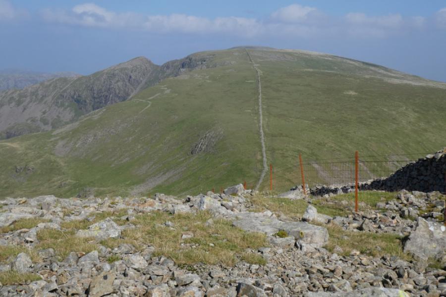
(2) Continue over Haycock using the wall as a guide. Bypass Little Gowder Crag by a path on its left to reach a shallow col then ascend up easily on the other side. The wall will need to be crossed at some point and the best palce is marked by a cairn. Continue up to reach a medium cairn about 40 m from the wall which is the summit of Caw Fell, 690 m. In thick weather the cairn may not be seen from the wall but if you reach another wall crossing, marked by a cairn on the other side, then you have passed the summit cairn. The lie of the land is very deceptive here. In clear weather, the cairn does not appear to be the highest point and further on, after the wall turns to the right, seems higher but the contours on the map show no higher point beyond the wall turning.
(3) Retrace back up Haycock then continue over to the cairn in the col between it and Scoat Fell the retrace the path down to Nether Beck and back to the start.
Notes
(a) This walk took place on 30th August, 2024.
Photos - Hover over photo for caption. Click on to enlarge. Click on again to reduce.