Get Lost Mountaineering
You are here: England » Lake District » 7 Western Fells
Crag Fell & Grike from Bleach Green car park, Ennerdale
Crag Fell & Grike from Bleach Green car park, Ennerdale
Start/Finish
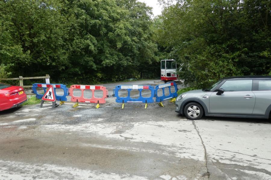
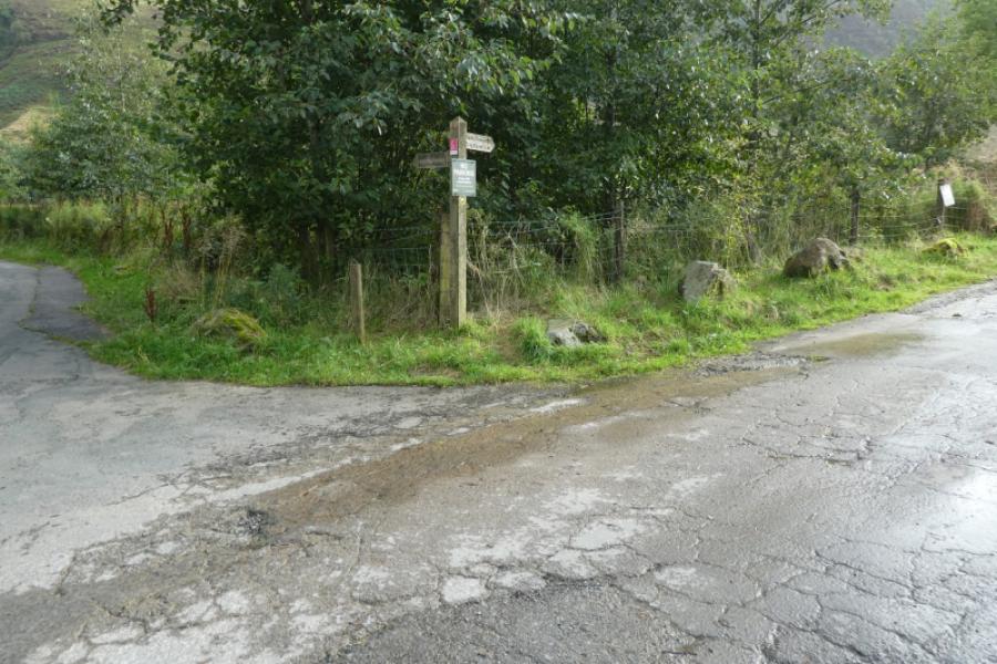
Bleach Green car park which is near Ennerdale Bridge. The nearest postcode is CA23 3AS which should take you to the nearest house. Simply continue to reach the car park. Car park signs should have been spotted before the house is reached. In August 2024, the car park was free but that might change as Forestry England are gradually introducing charging.
Distance/Time
6 km About 4 – 5 hours
Peaks
Crag Fell, 523 m, NY 097 144.
Grike, 488 m, NY 085 141. OL4 North Western Lakes
Introduction
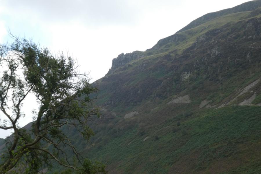
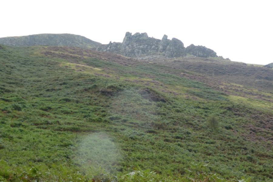
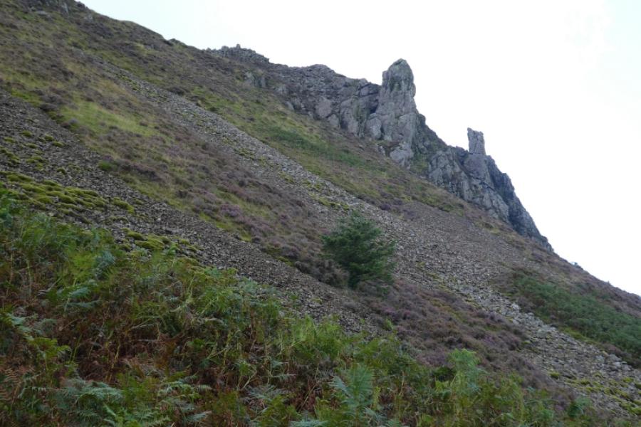
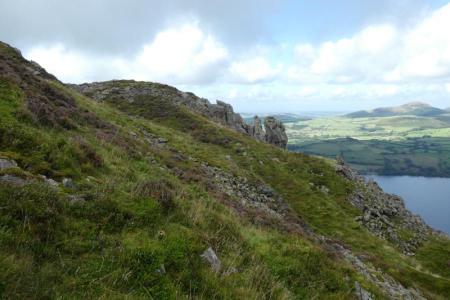
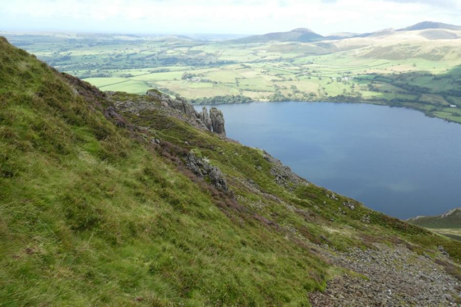
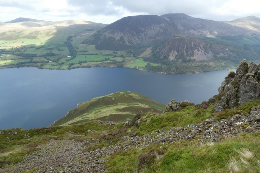
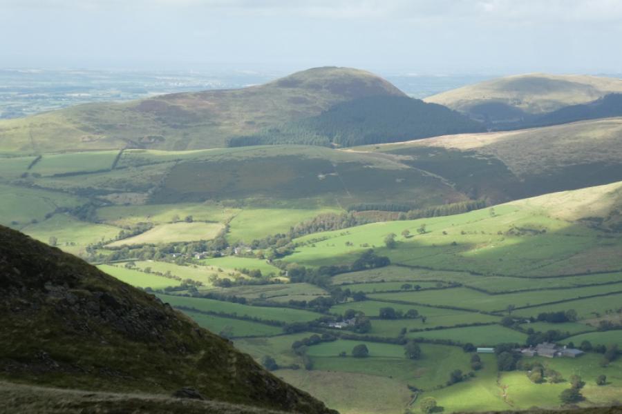
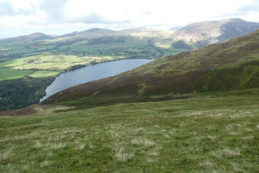
These are two fine hills with good views especially over Ennerdale Water to the High Stile – Red Pike range. However, the ascent route for Crag Fell is not recommended as a poor path goes through ferns then ascends very steep ground. An alternative will be found in the notes and will be walked and posted sometime in the future. The Crag Fell pinnacles are interesting but not interesting enough to justify this route.
Route
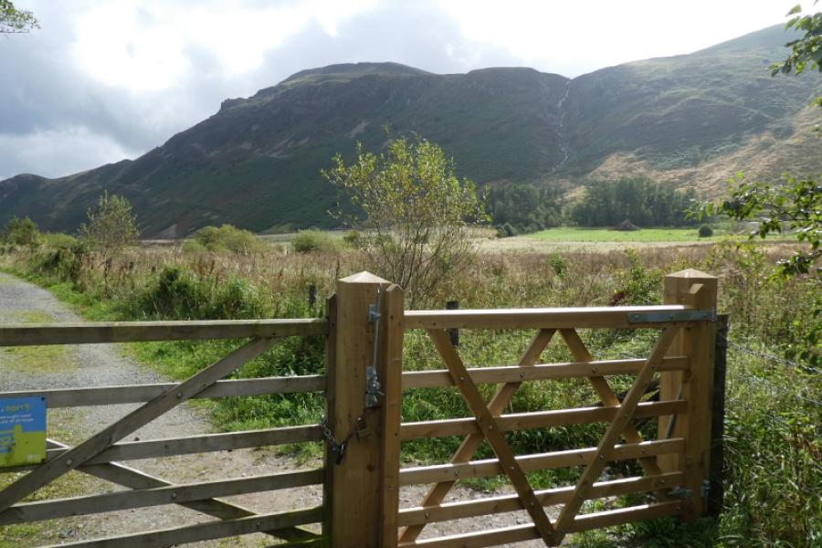
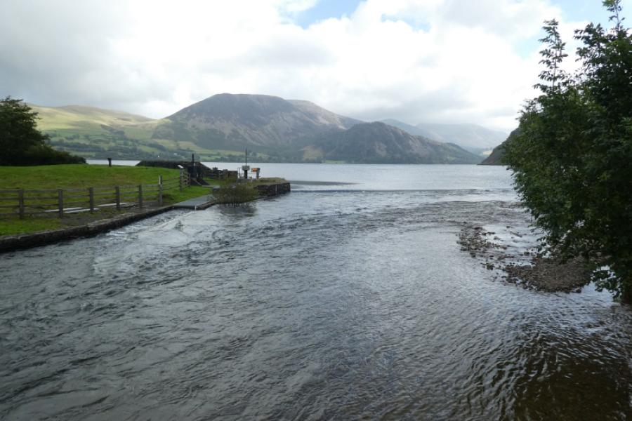
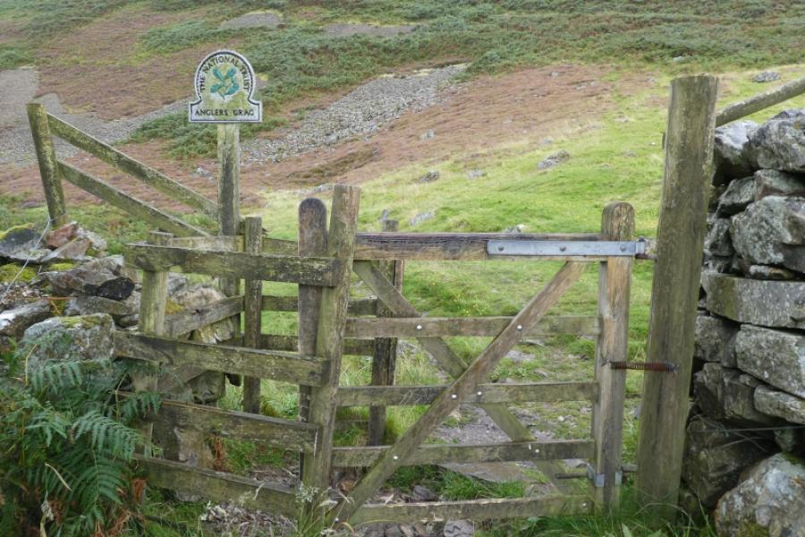
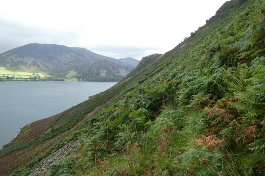
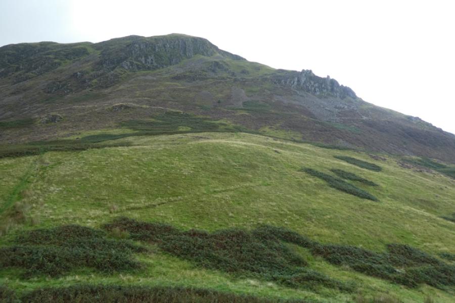
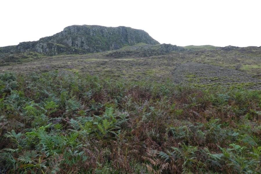
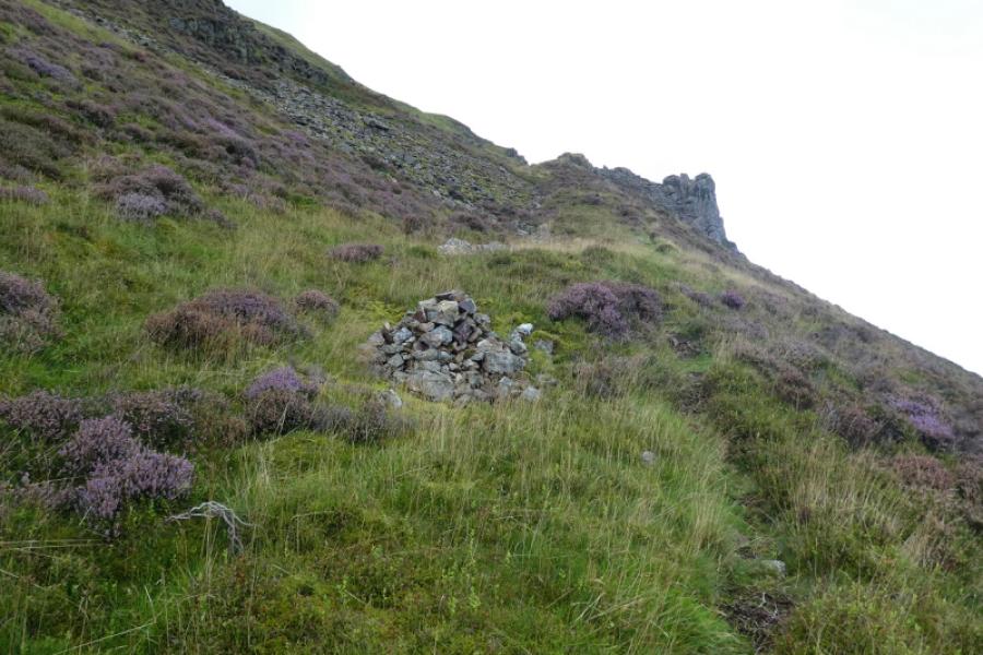
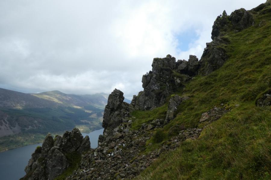
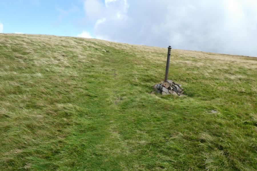
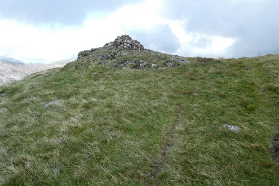
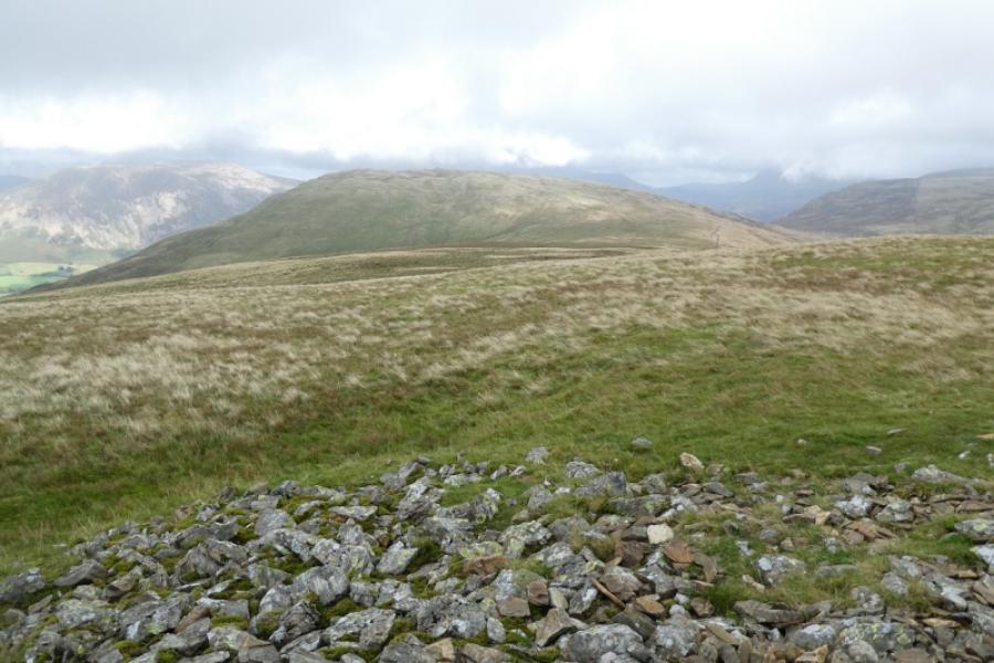
(1) From the car park entrance go left up what is left of the tarmac road then continue towards Ennerdale Water. Ignore the bridge just as the lake is reached and continue ahead to reach a gate in a wall where there is a sign saying “Angler's Crag”. Leave the path here and go right to follow the wall until you can gain a grassy ramp on the left where a path starts and makes a rising traverse towards the top of Angler's Crag. The path soon enters dense bracken and becomes hard to follow; there are also short drops on the left where a tumble could send one rolling through the ferns and hitting whatever lies within them. It is very hard going but eventually reach the top of Angler's Crag. The continuation towards Crag Fell is fairly obvious but soon you are back in the ferns and the path can be hard to follow although it does head towards the obvious pinnacles which can be visited by a short detour. The path then becomes more obvious for a while but seems to lead to a short, steep and slippery grass slope after which the angle eases and a path leads onto the crest. Turn left and continue easily to reach a large cairn which marks the summit of Crag Fell, 523 m.
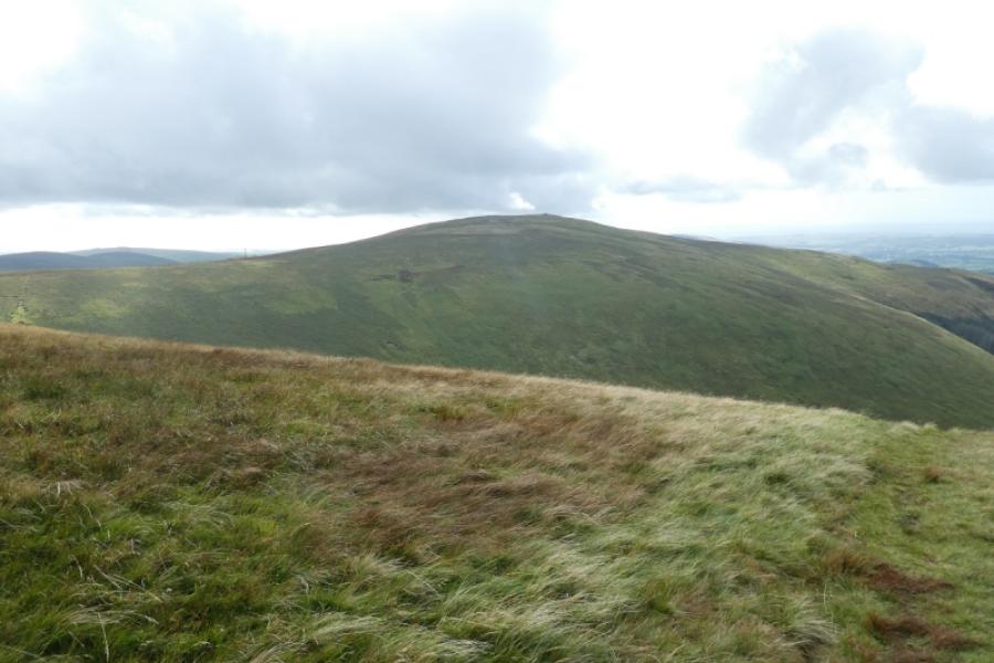
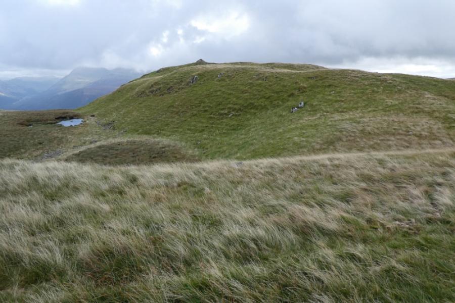
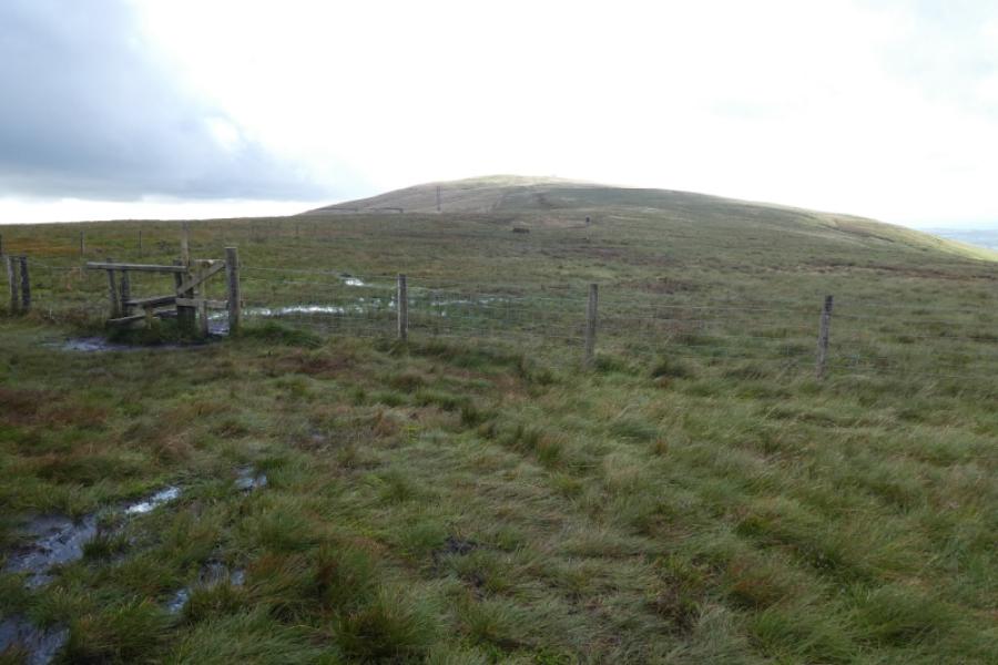
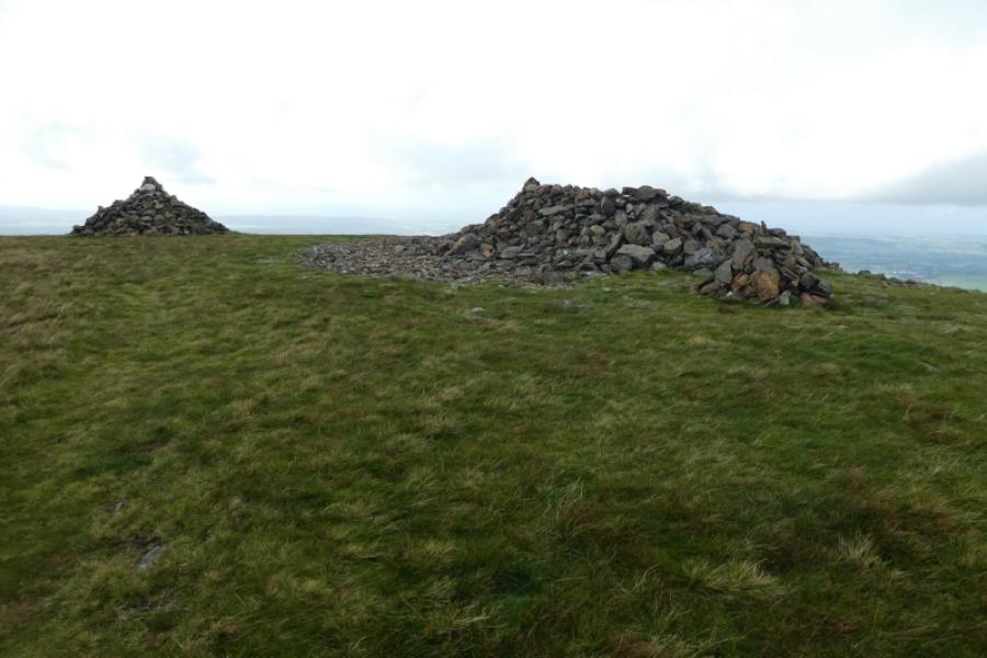
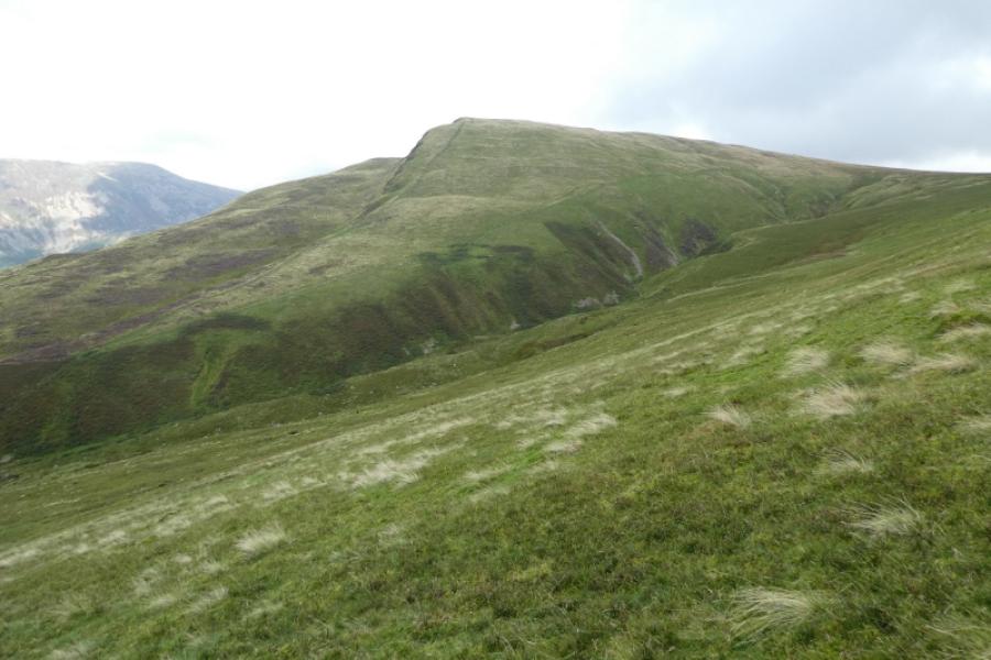
(2) It is much easier from now on. Head roughly SW on a good path to reach the col to Grike. Cross a fence by a stile but it can be very boggy here. Continue across boggy ground on a fairly obvious path which ascends easily to a large cairn which marks the summit of Grike, 488 m. A shelter cairn is close by.
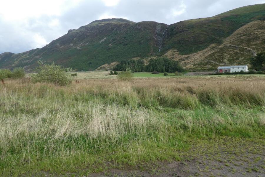
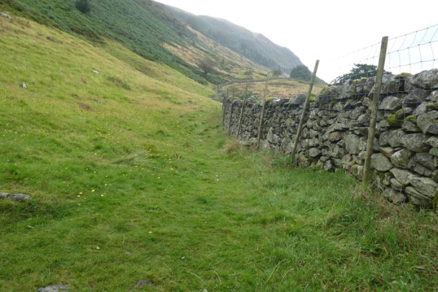
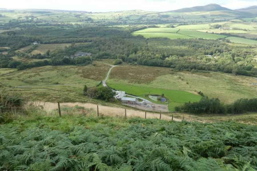
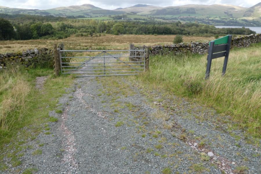
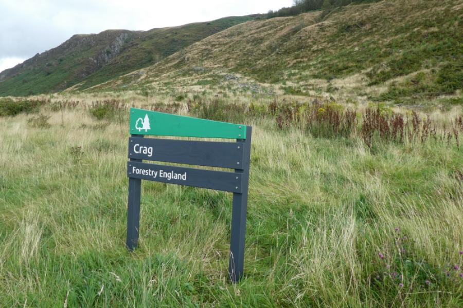
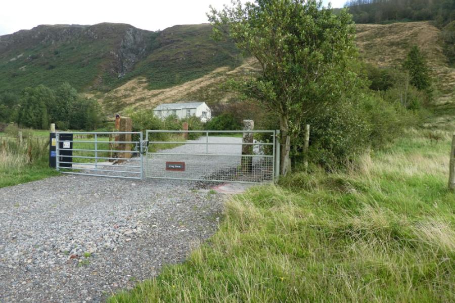
(3) Descend NE down pathless but easy mainly grassy slopes. If it is clear, you can aim for two white houses, close together, across Ennerdale Water. As you get lower, aim for the fence which crosses the stream to your right and cross the fence close to where it crosses the stream and there is a path. Follow the path down. It passes well above Crag Farm and goes down the edge of a wood before reaching a good track. Turn right then left soon after where there is a gate and the back of a National Trust sign which says “Crag”. Follow this track, passing the entrance to Crag Farm, then through a gate to reach the car park soon after.
Notes
(a) This walk took place on 29th August, 2024.
(b) A much easier ascent of Crag Fell is to retrace the last part of the descent from Grike. From the car park take the short road right, for Crag Farm. Go past the entrance to the farm to reach a track where you turn right. Then look for the path going up towards the wood. Follow this up and up until a fence crosses the main stream. From here a very obvious path/track goes up Crag Fell to the summit.
Photos - Hover over photo for caption. Click on to enlarge. Click on again to reduce.