Get Lost Mountaineering
You are here: Scotland » 02 River Tay to Rannoch Moor » Ben Lawers Range including Tarmachan Ridge and Meall nam Maigheach
Meall a' Choire Leith & Meall Corranaich from Bridge of Balgie road
Meall a' Choire Leith & Meall Corranaich from Bridge of Balgie road
Start/Finish
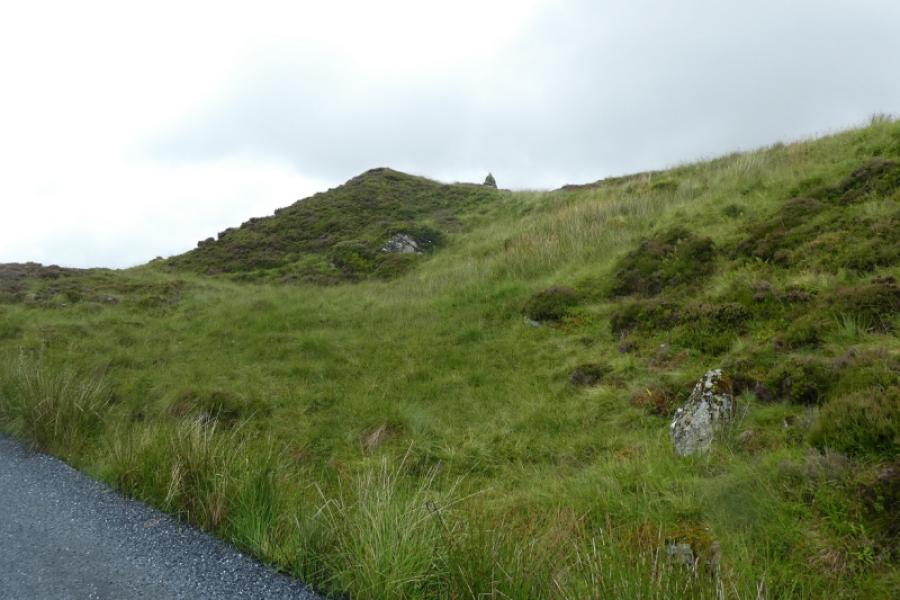
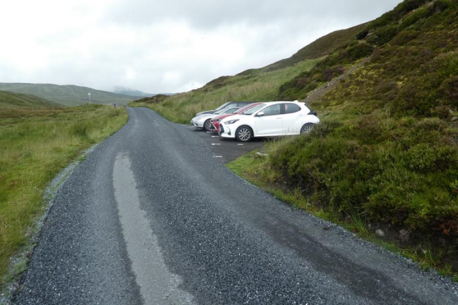
As close as possible to the cairn shown on the OS Map at NN 593 416. This is on the road to the Bridge of Balgie from the A827 Killin to Kenmore road along the north side of Loch Tay. Drive up this road, steep in places, which is not treated in the winter so may not be accessible in the colder months. Higher up there are car parks on the left for Beinn Ghlas and Ben Lawers. Continue past Lochan na Lairige. About 500 m past the northern end of the lochan, the road turns left and the cairn is just above this corner. Parking is very limited, often due to early arrivals not parking sensibly and taking up too much space. Some of the makeshift “lay bys” are deep enough to park at right angles to the road so please park sensibly. Do not park in the signed passing places.
Distance/Time
11 km About 4 – 5 hours
Peaks
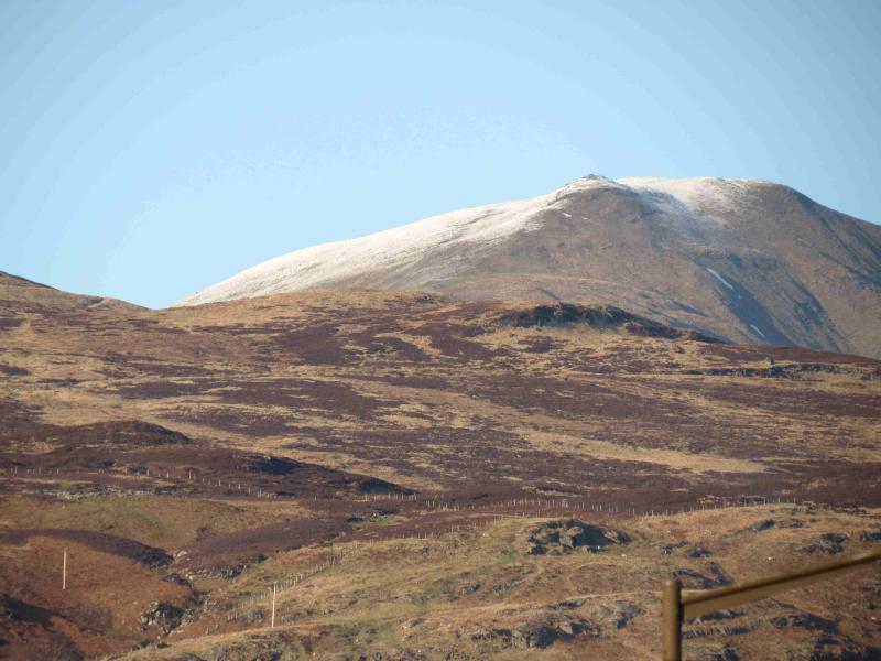
Meall a' Choire Leith, 926 m, NN 612 439.
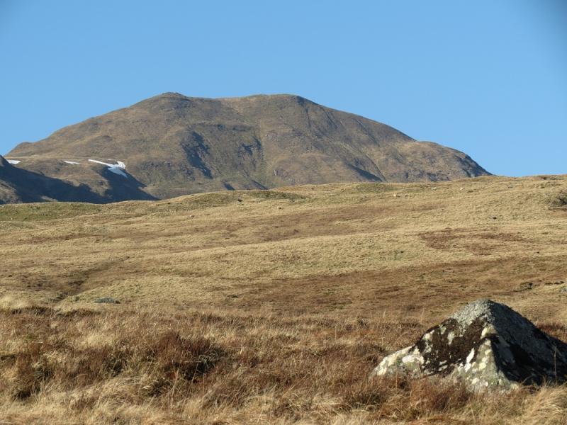
Meall Corranaiach, 1069 m, NN 615 410. OS Sheet 51.
Introduction
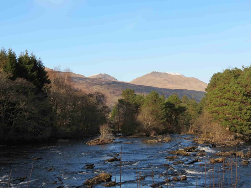
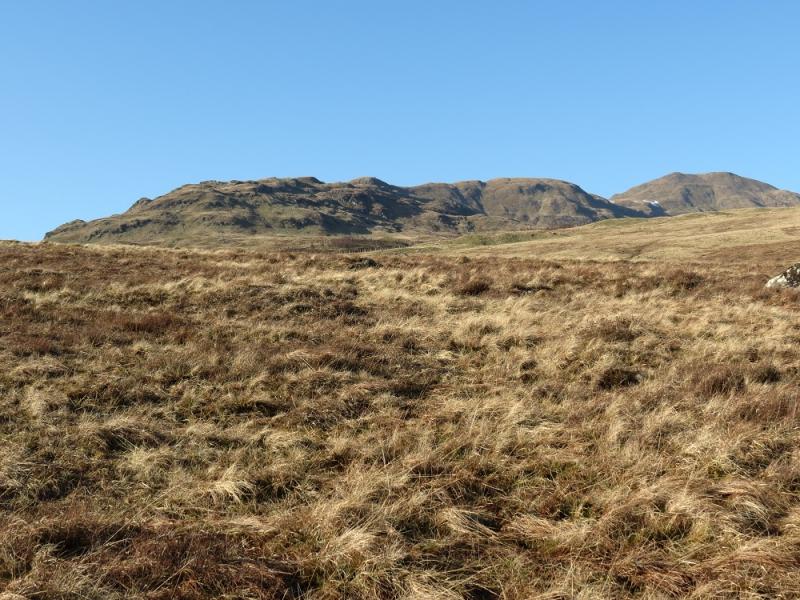
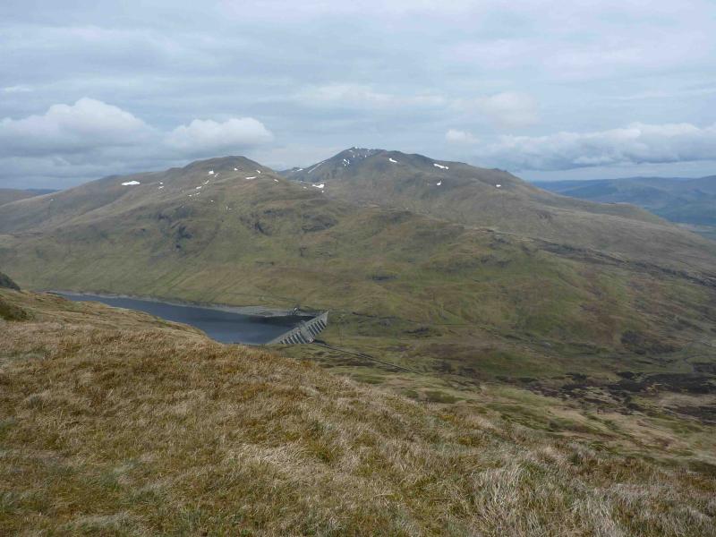
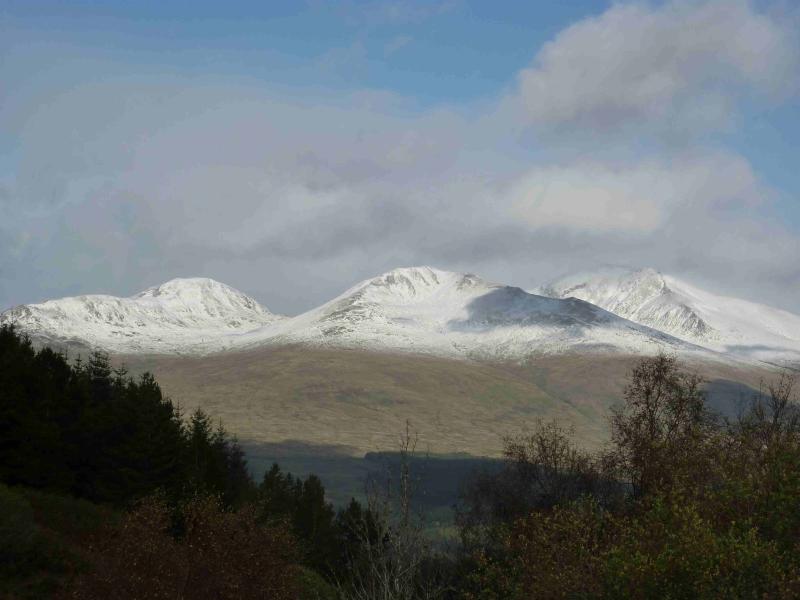
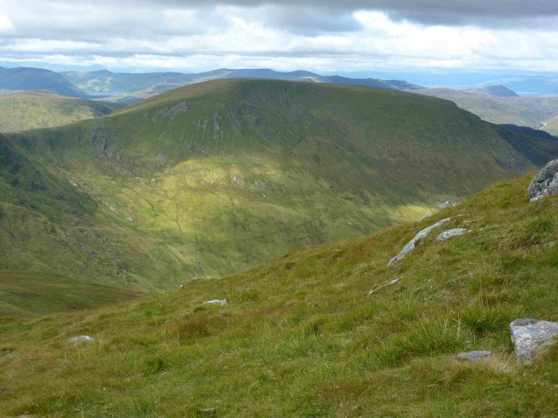
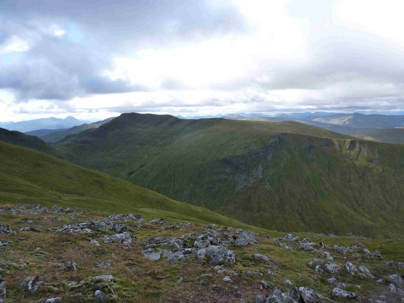
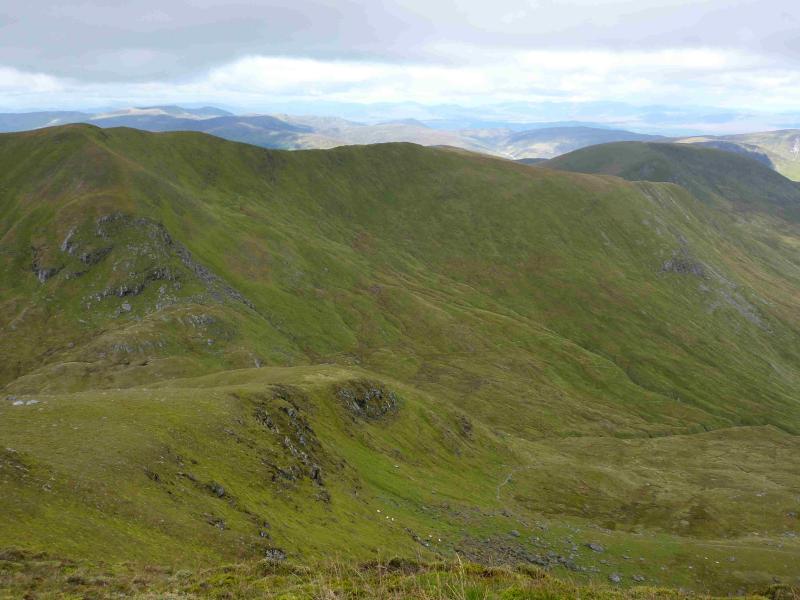
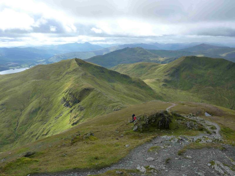
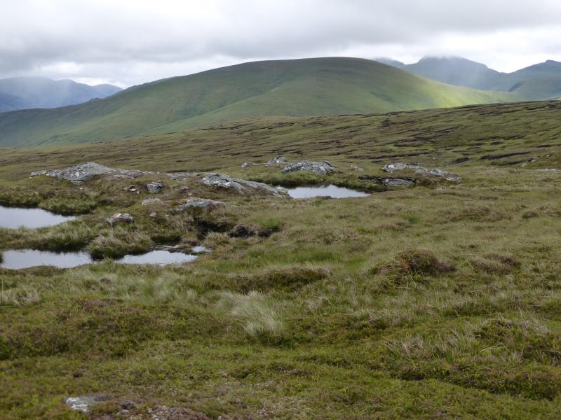
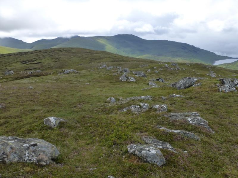
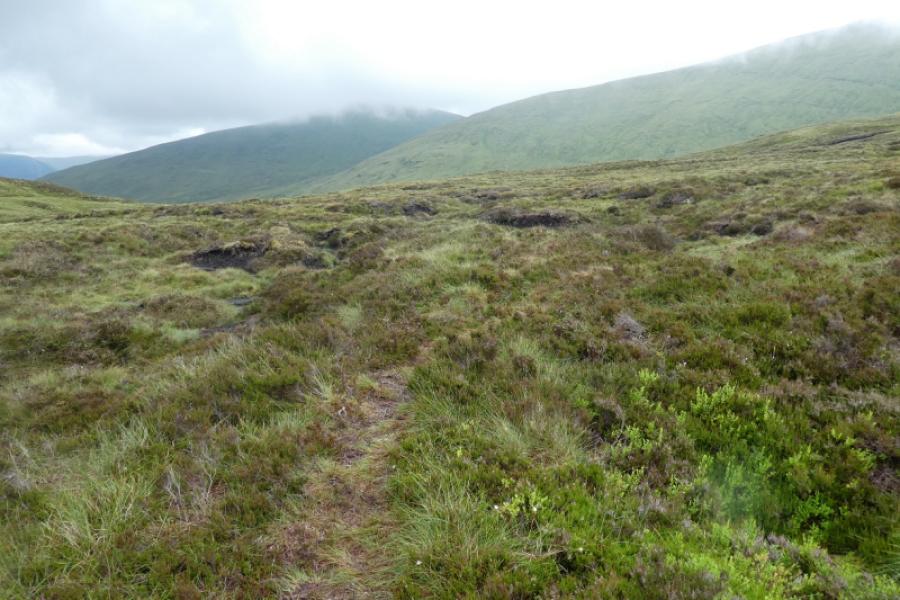
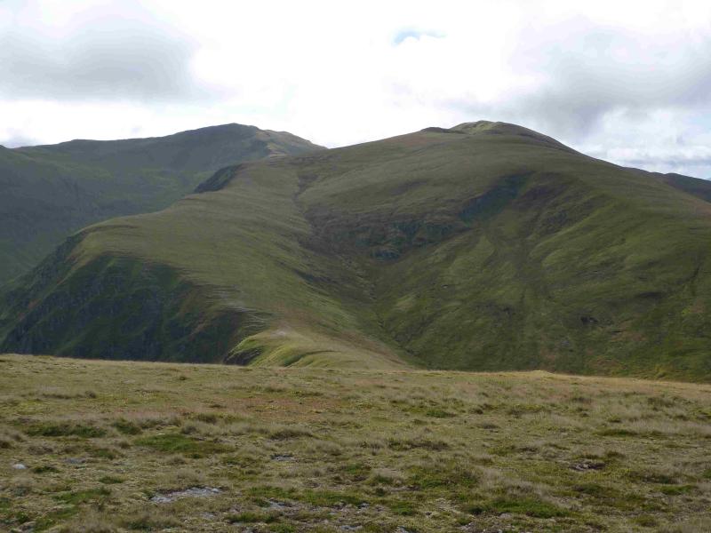
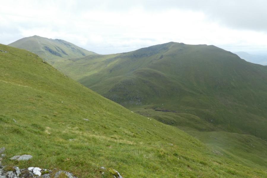
This is a fairly easy walk to navigate as there is a path/track much of the way. However, such are the views that it would be a waste to walk this route in poor visibility and miss the very fine views. These views are to other parts of the Ben Lawers range, the Crianlarich Hills, the Glen Lyon hills, Ben Vorlich and Stuc a’Chroin and the Glen Lochay hills where Meall Ghaordie and Ben Challum are quite prominent but the finest view is to the Tarmachan Ridge across the Bridge of Balgie road. Note the lower paths have now become quite boggy although the boggy parts can sometimes be easily avoided especially on the descent of Meall Corranaich.
Route
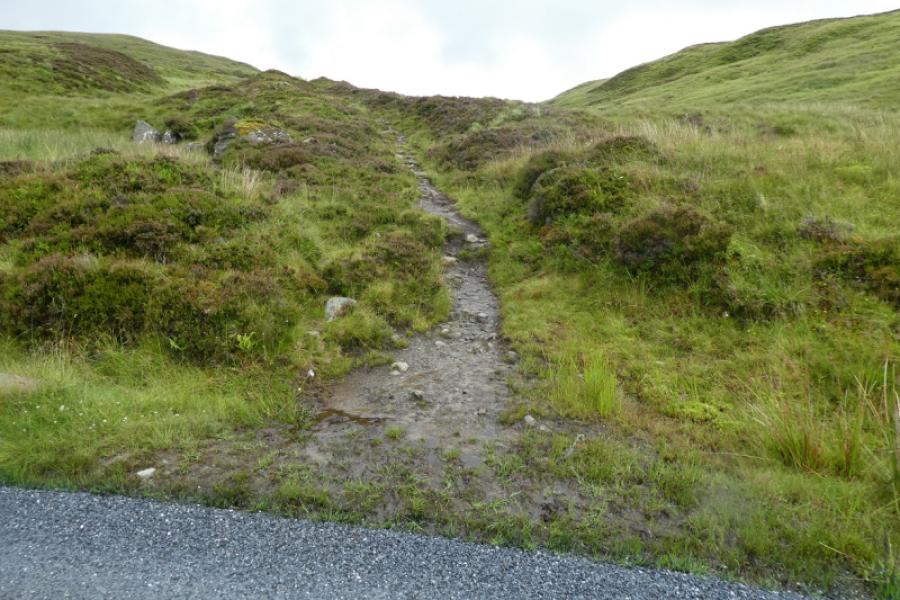
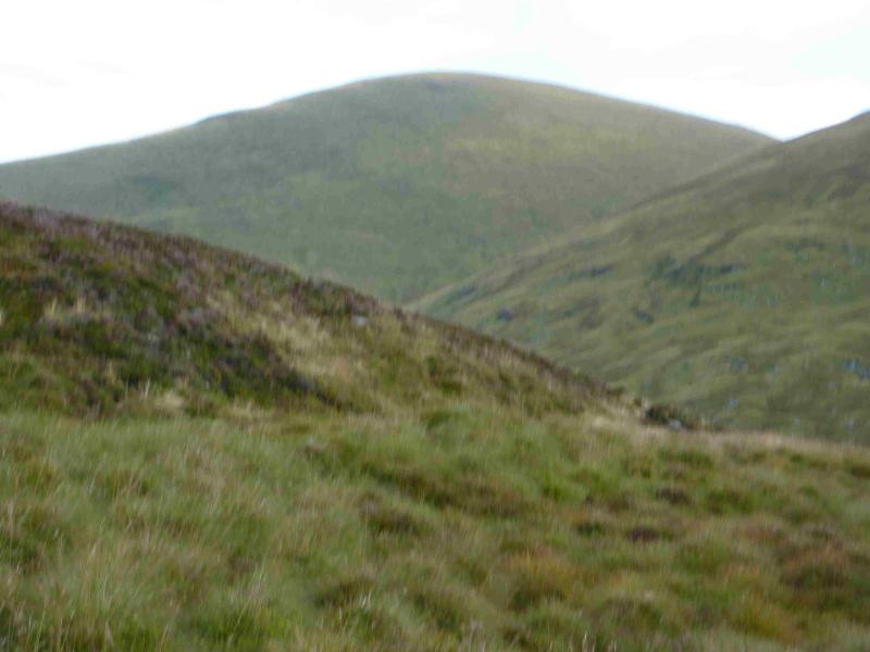
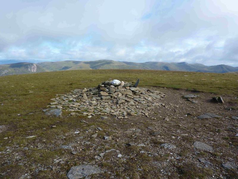
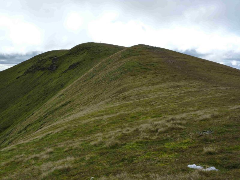
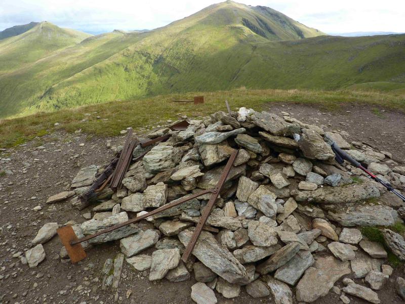
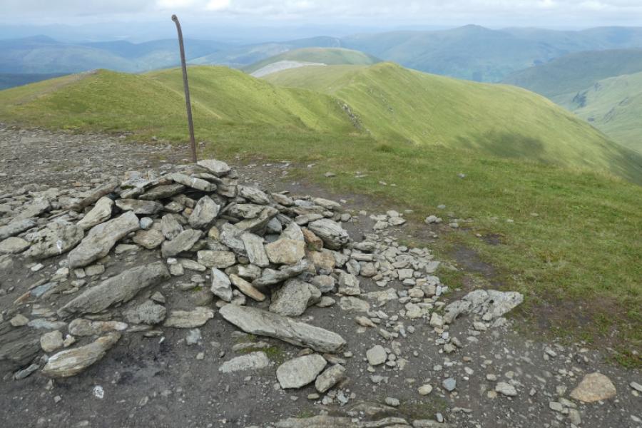
(1) From the road below the cairn, walk back towards the lochan. Almost immediately, reach the start of a rough track on the left. Follow this. It is boggy in places. When it starts to swing to the right, leave it and continue roughly NE, passing below the minor top of Meall nan Eun. There is a path but it is often quite boggy so it is often better to walk off the path. If it is clear, Meall a' Choire Leith should be visible so one can simply aim for it. The first “obstacle” is to cross the Allt Gleann Da-Eig. There is a water intake, which looks like a small dam, and this should be visible and can be aimed for. Normally the burn is easily crossed and is quite narrow so it would take exceptional weather to force a significant detour upstream. From the water intake continue NE then cross the burn flowing up Coire Gorm. Pick a way up the steepish but easy grassy slopes of Meall a' Choire Leith. Higher up, a path will be met which leads to the medium cairn which marks the summit of Meall a' Choire Leith, 926 m. If this looks too steep then look for a path which goes up the the S side of the Coire Gorm burn before crossing over higher up.
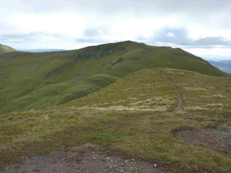
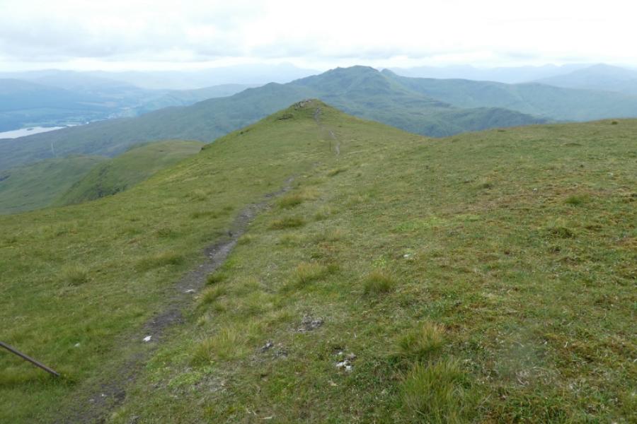
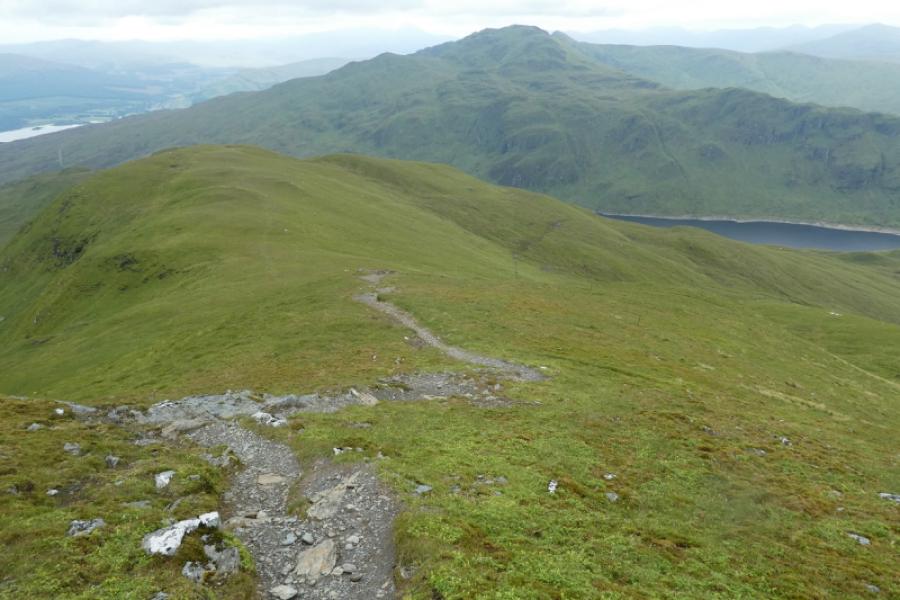
(2) The S ridge of Meall a' Choire Leith is short grass and many simply walk straight down it to join the path, well seen from above, in the bealach. To join this path higher up, walk E from the summit to the obvious edge then follow the path down. From the bealach, an obvious path, which goes all the way to the summit, follows the line of the Coire Gorm burn lower down. This is slightly to the W of the crest which could easily be followed instead. Higher up, the grassy ridge goes slightly W of S and narrows and passes over a few minor tops before reaching the medium cairn which marks the summit of Meall Corranaich, 1069 m.
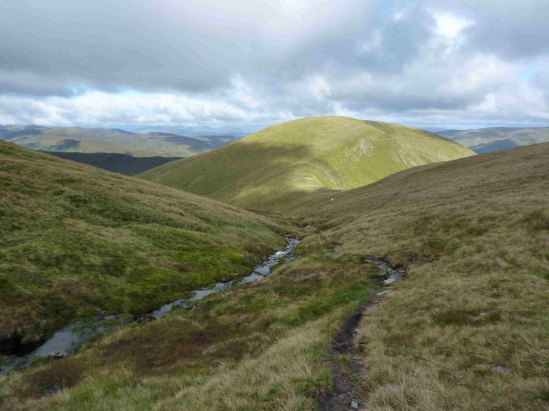
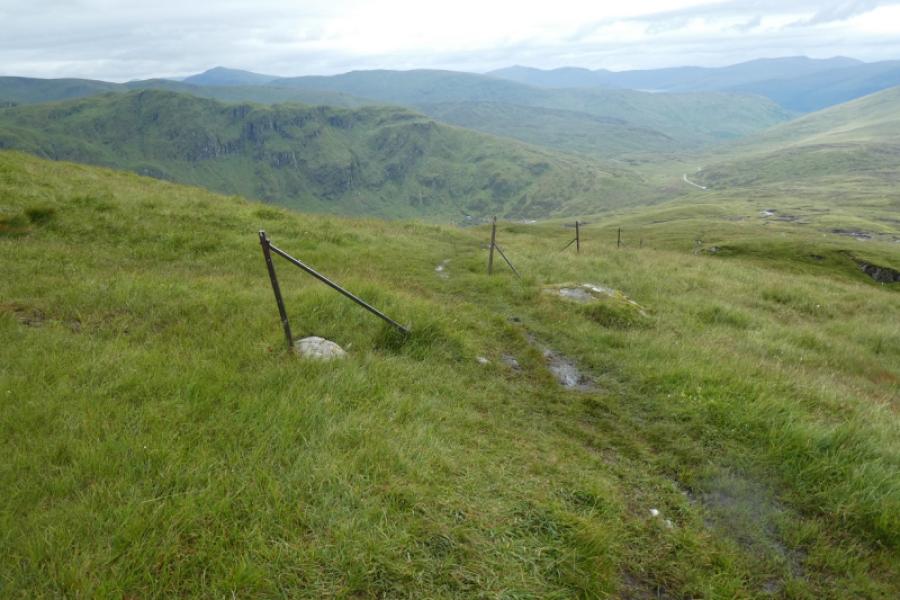
(3) Walk roughly south from the summit to soon meet a line of old iron fence posts. The descent path follows these posts much of the way, starting south west then becoming north west. Lower down, the path goes through a very boggy area which can be avoided by leaving the path and trending left, more directly towards the start of the path from the road. A faint path is slowly beginning to form across this grassy area. Reach the road and car park.
Notes
(a) This walk is a composite made up from two walks earlier.
Photos - Hover over photo for caption. Click on to enlarge. Click on again to reduce.