Get Lost Mountaineering
You are here: Scotland » 02 River Tay to Rannoch Moor » Ben Lawers Range including Tarmachan Ridge and Meall nam Maigheach
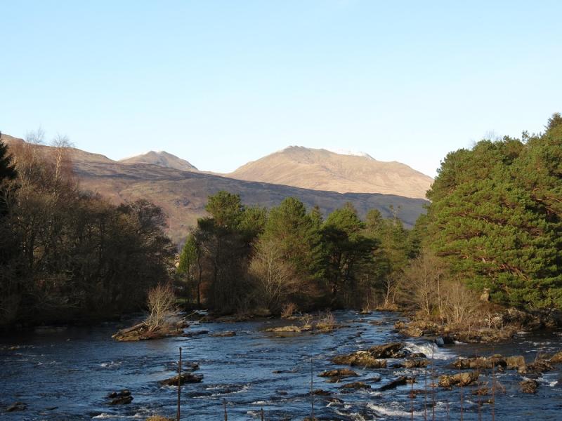
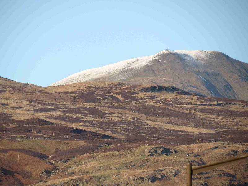
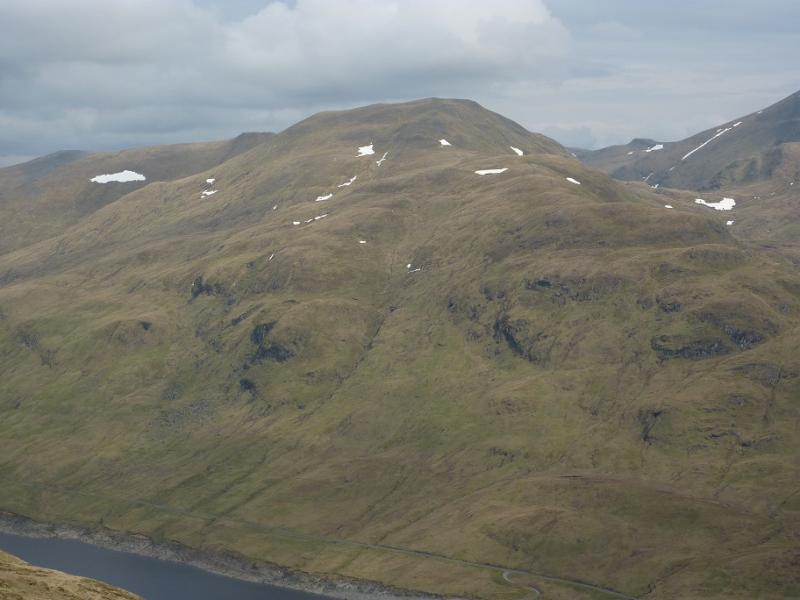
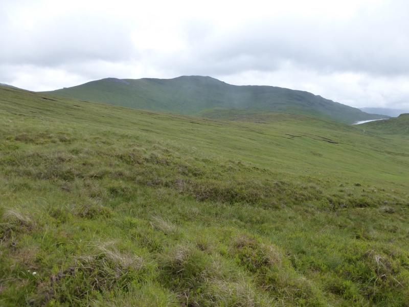
Meall Corranaich from Bridge of Balgie road
Meall Corranaich from Bridge of Balgie road
Start/Finish
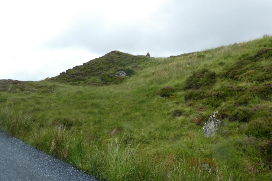
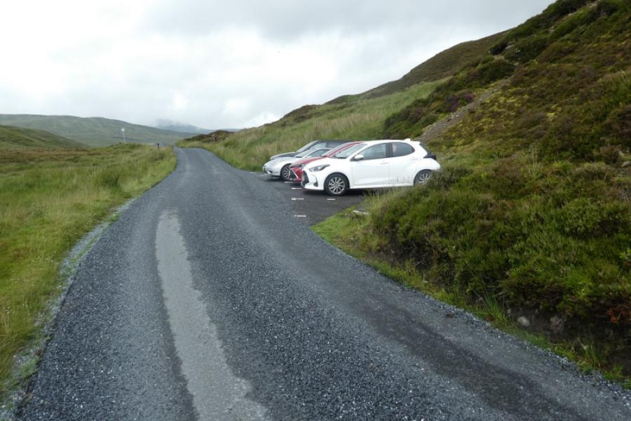
As close as possible to the cairn shown on the OS Map at NN 593 416. This is on the road to the Bridge of Balgie from the A827 Killin to Kenmore road along the north side of Loch Tay. Drive up this road, steep in places, which is not treated in the winter so may not be accessible in the colder months. Higher up there are car parks on the left for Beinn Ghlas and Ben Lawers. Continue past Lochan na Lairige. About 500 m past the northern end of the lochan, the road turns left and the cairn is just above this corner. Parking is very limited, often due to early arrivals not parking sensibly and taking up too much space. Some of the makeshift “lay bys” are deep enough to park at right angles to the road so please park sensibly. Do not park in the signed passing places.
Distance/Time
8 km About 3 – 4 hours
Peaks
Meall Corranaich, 1069 m, NN 615 410. OS Sheet 51.
Introduction
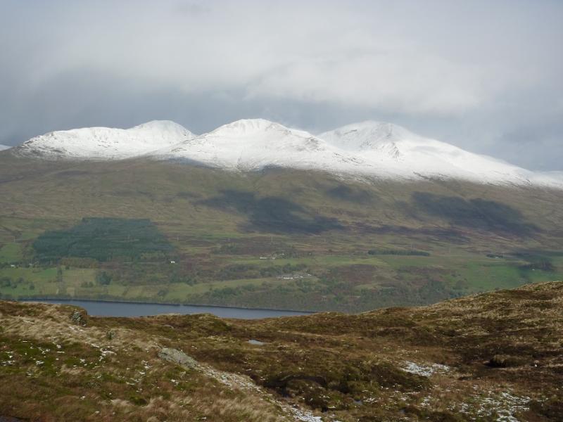
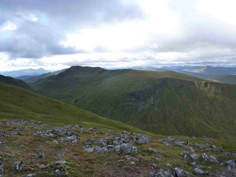
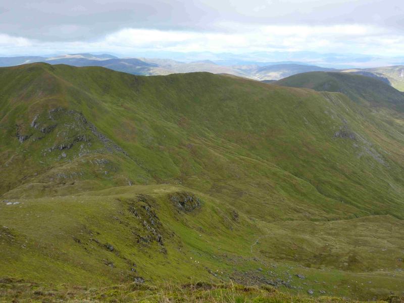
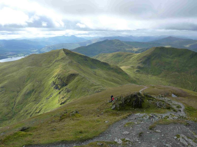
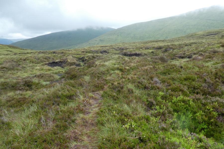
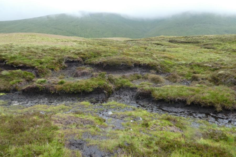
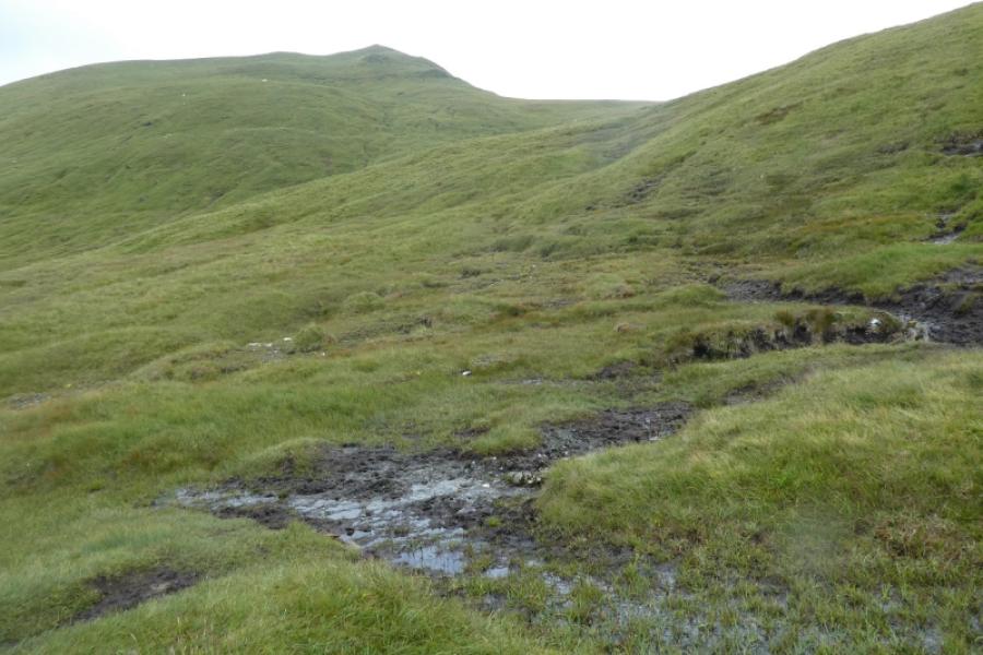
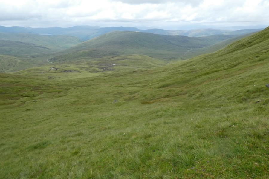
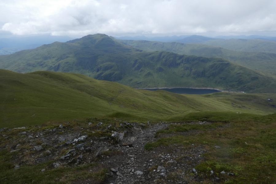
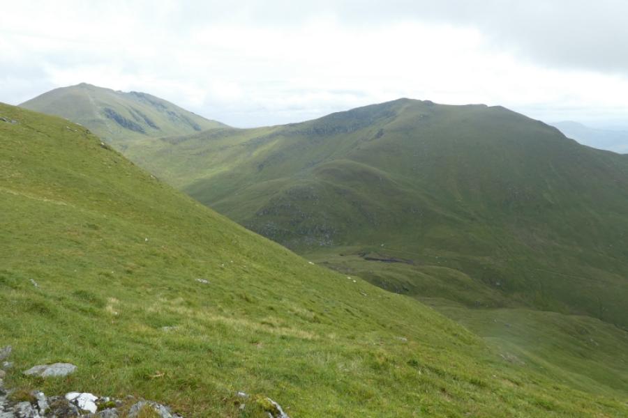
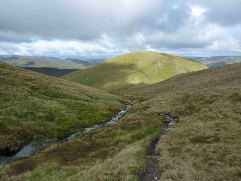
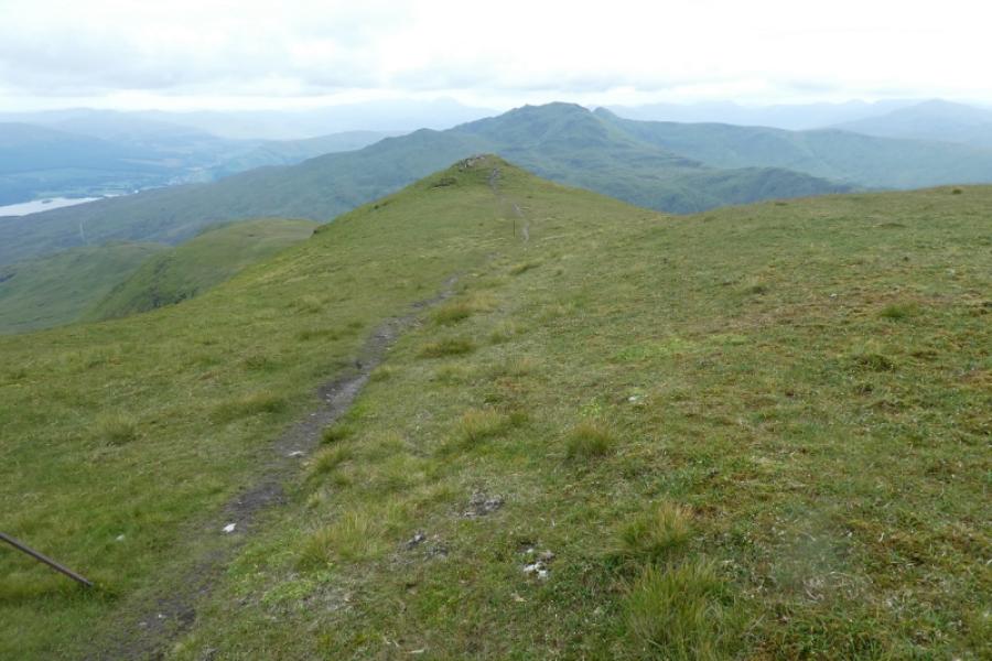
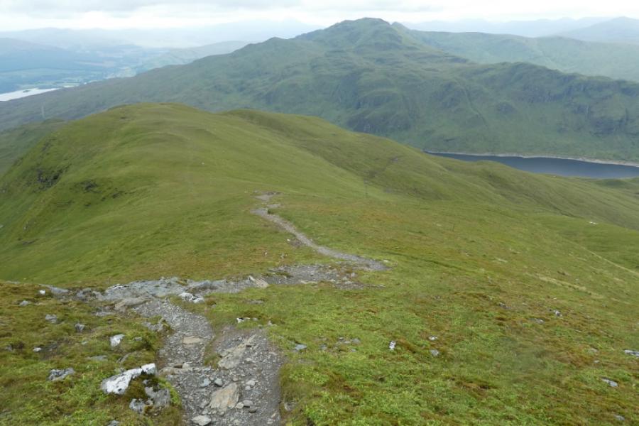
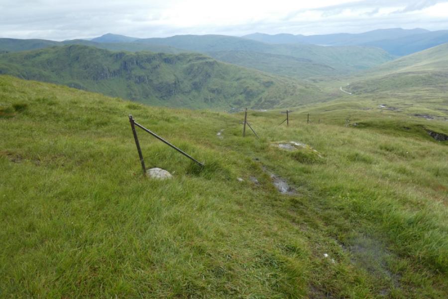
This is a fairly easy walk to navigate as there is a path/track much of the way but it is very boggy in places on the lower slopes. However, such are the views that it would be a waste to walk this route in poor visibility and miss the very fine views. These views are to other parts of the Ben Lawers range, the Crianlarich Hills, the Glen Lyon hills, Ben Vorlich and Stuc a’Chroin and the Glen Lochay hills where Meall Ghaordie and Ben Challum are quite prominent but the finest view is to the Tarmachan Ridge across the Bridge of Balgie road. Note the lower paths have now become quite boggy although the boggy parts can sometimes be easily avoided especially on the descent of Meall Corranaich.
Route
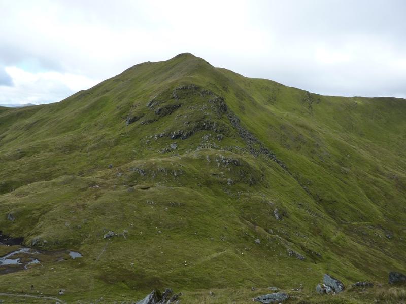
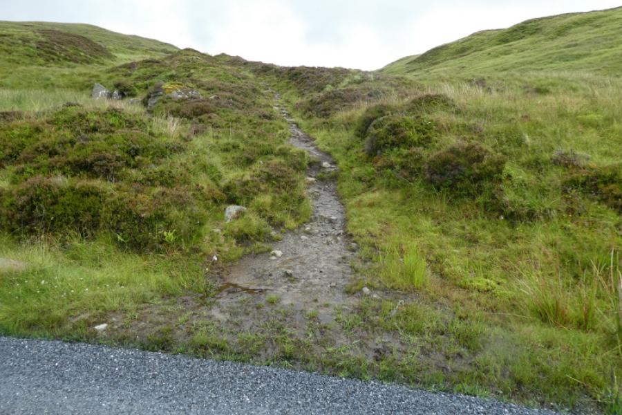
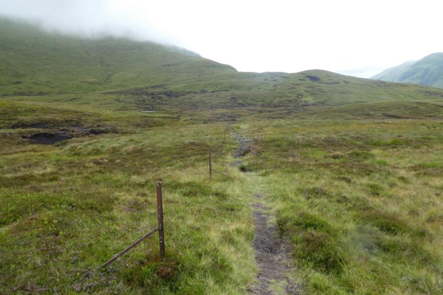
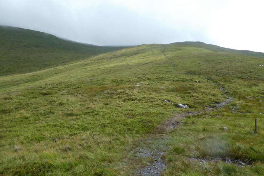
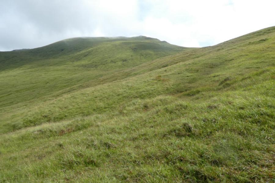
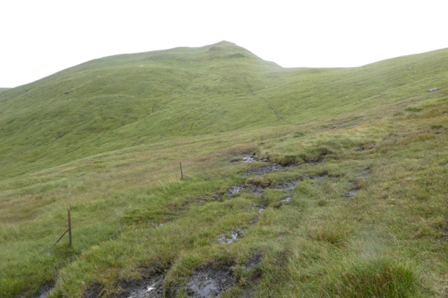
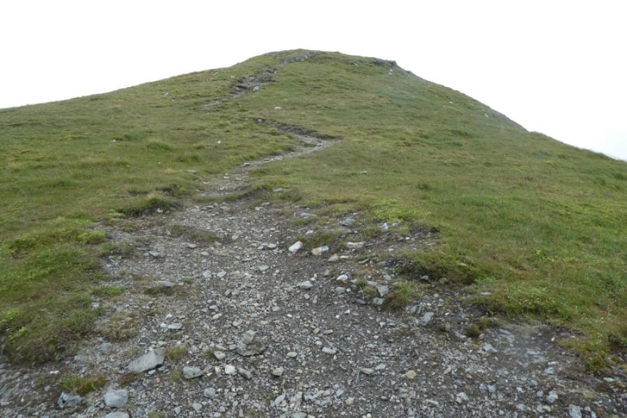
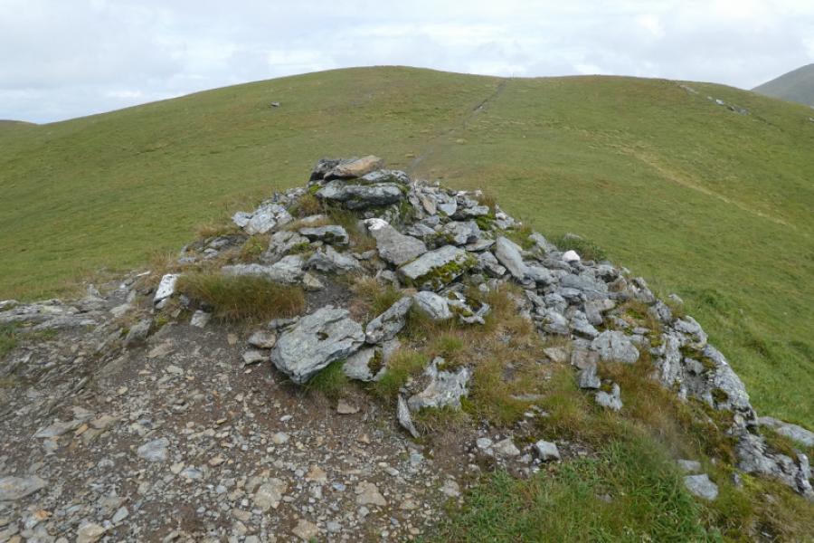
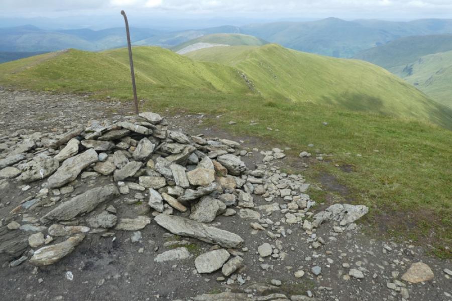
(1) From the road below the cairn, walk back towards the lochan. Almost immediately, reach the start of a rough track on the left. Follow this. It is boggy in places. When it starts to swing to the right, go with it (straight on goes to Meall a' Choire Leith). Follow the path with intermittent old iron fence posts not far away. There are lots of boggy areas which need to be avoided. It may be best to stay well to the right of the path on the pathless grassy areas until the boggy areas are passed. Higher up, the fence posts become more regular and lead almost to the summit. The path makes a right turn, by the fence posts, quite high up then continues just below the south west ridge. When the ridge flattens out, a small cairn is passed which is NOT the summit but could be mistaken for it in mist. Continue to the highest point of the fence posts then turn left and in about 50 metres reach the medium cairn which marks the summit of Meall Corranaich, 1069 m.
(2) Retrace roughly south from the summit to rehain the line of old iron fence posts. The descent path retraces the ascent path. The boggy areas lower down are more visible from above and can be avoided by leaving the path and trending left, more directly towards the start of the path from the road. A faint path is slowly beginning to form across this grassy area. Reach the road and car park.
Notes
(a) This walk took place on 20th July, 2024.
Photos - Hover over photo for caption. Click on to enlarge. Click on again to reduce.