Get Lost Mountaineering
You are here: Scotland » 04 Loch Leven and Loch Linnhe to Loch Ericht » Mamores to Corrour
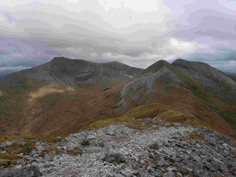
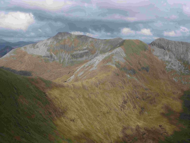
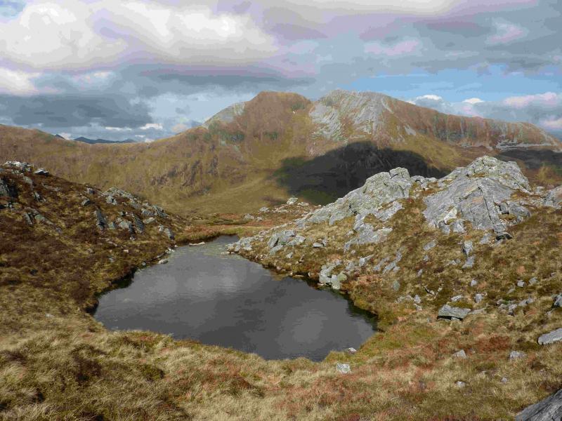
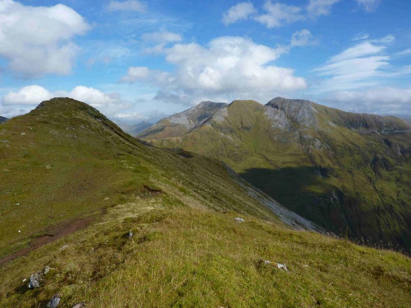
Eastern Mamores: Binnein Mor & Na Gruagaichean
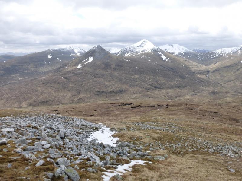
Eastern Mamores from Kinlochleven
Start/Finish
Grey Mares Waterfall car park, Kinlochleven. From bridge over River Leven, go N then take first right (signed Grey Mares Waterfall). At end of the street there is a white church, go right and the car park is almost immediately on the left.
Distance/Time
18 km Approx 10 hours
Peaks
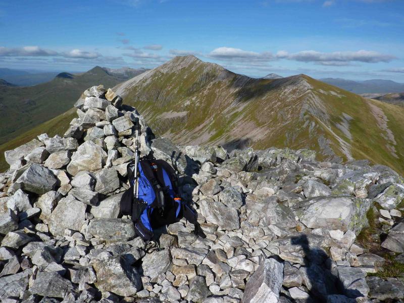
Binnein Mor, 1130 m, NN 212 663.
Binnein Mor S Top, 1062 m, NN 211 656.
Na Gruagaichean, 1056 m, NN 203 652.
Na Gruagaichean NW Top, 1041 m, NN 201 654. OS sheet 41.
Introduction
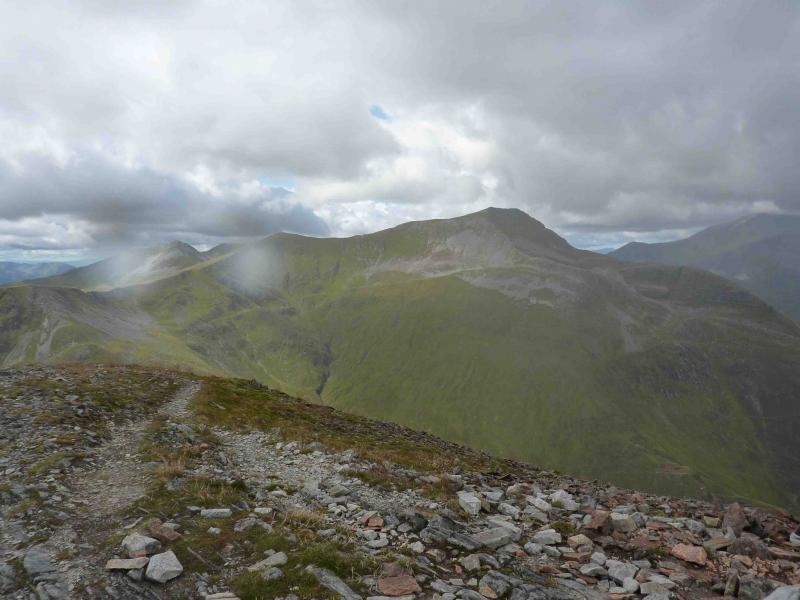
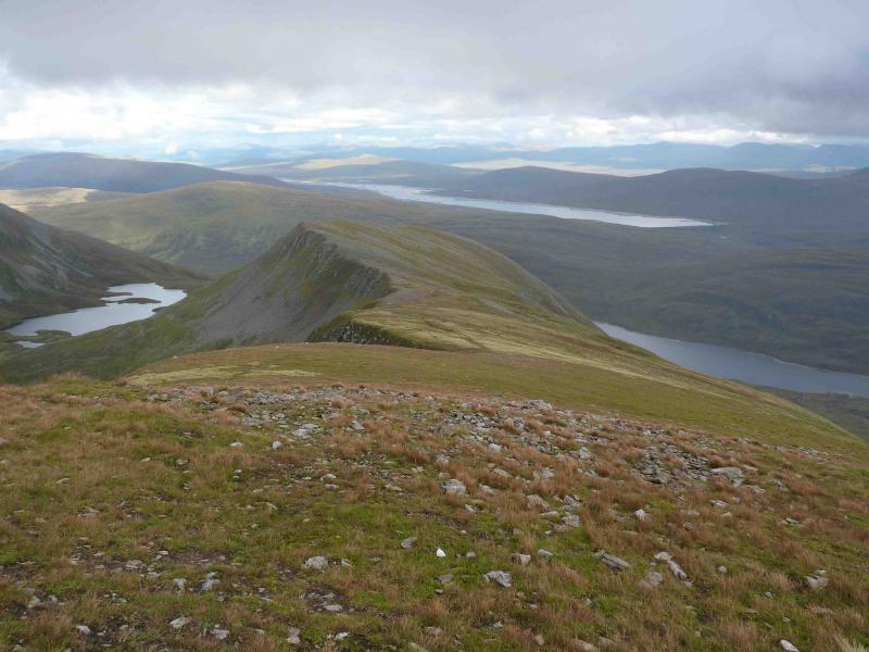
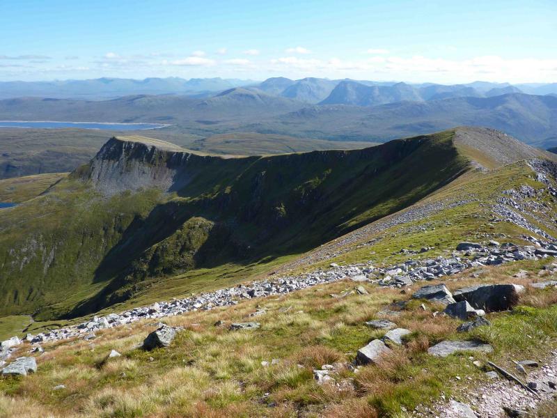
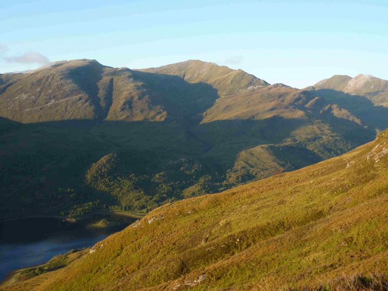
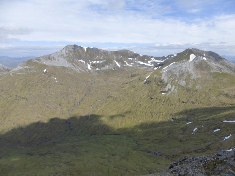
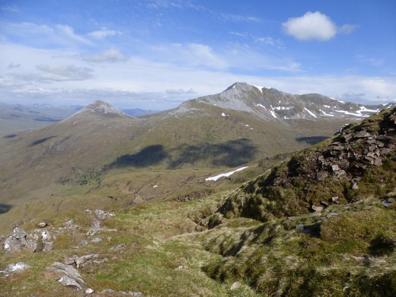
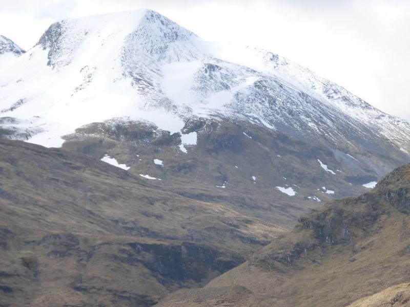
Outstanding views in all direction from this walk especially down the full length of Loch Leven but also to the Glencoe peaks, Ben Nevis, Aonach Beag, Grey Corries, Loch Ossian peaks, Buachaille Etive Mor and even Schiehallion.
Route
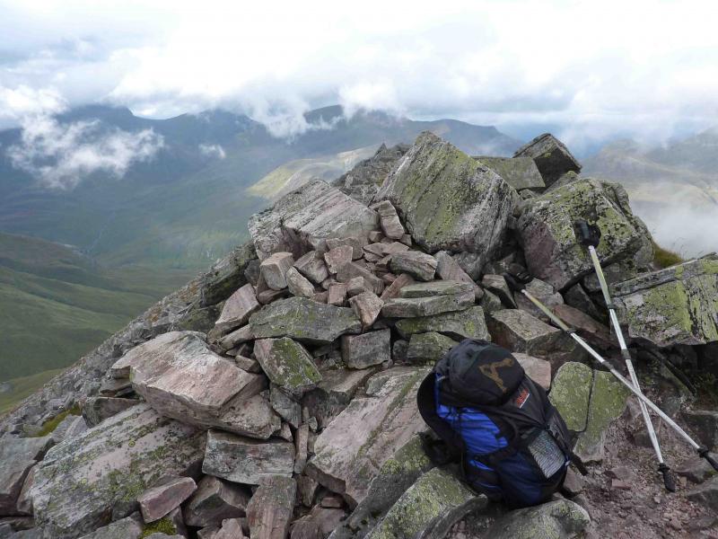
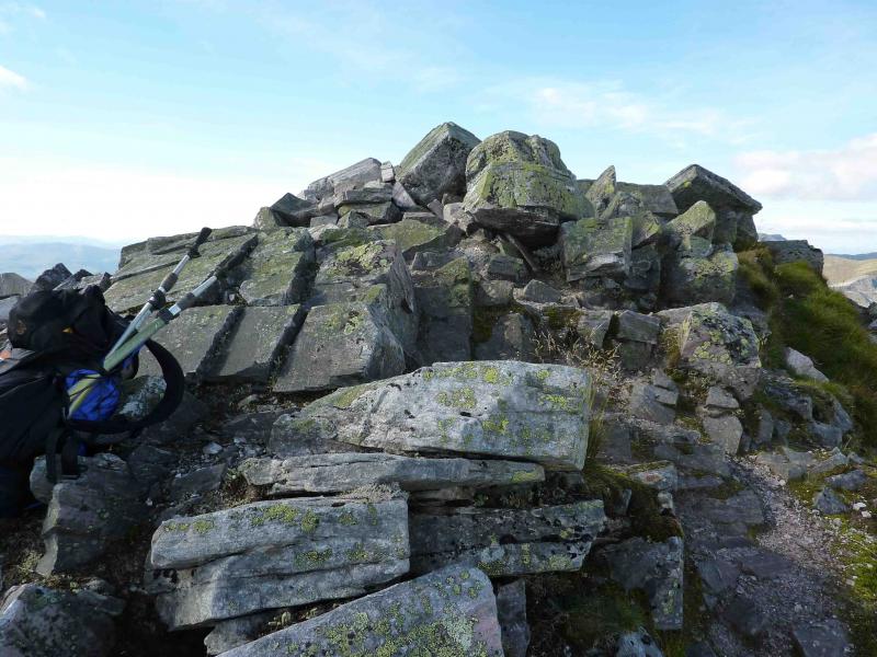
(1) Walk up the obvious signed footpath at the side of the car park. At the end of the path, go right (red arrow). Follow path until reaching a white cottage on the left (if you go much further you will reach another street). Go left up the left side of this cottage on a path which is initially faint but, within 10 m, there is another red arrow post and the path is much more distinct. Follow the path until a T junction is reached. Go left and converge towards a stream. Within 50 m, take a reverse right fork and cross the stream to reach a multi-coloured marker post. The red arrow is not visible until the post is reached and points uphill. Follow the path uphill through the wood (path diverges in places) to emerge to the N of Meall an Doire Dharaich. The path levels off then descends slightly to reach a cairn by the main track from Mamores Lodge to Loch Eilde Mor. Turn left (W) onto track then, almost immediately, turn right (cairn) on to an obvious stony path going NE. Follow this path uphill, crossing a stream, until it starts to level out. At a cairn where the stony path starts to zig-zag up the S flank of Sgor Eilde Beag, follow the stony path for a few zig-zags. Ignore the left fork, which ascends the nose of Sgor Eilde Beag, and stay on the path which now straightens and heads almost due N passing to the W of Coire an Lochan. The path then zig-zags down to a burn and follows it until it bottoms out opposite a large gully on the right. Follow the path up towards the lochan to the SW of Binnein Beag until the foot of the NE ridge of Binnein Mor is reached just below the lochan. A high gorge on the left is passed just before the ridge. Either ascend the ridge on stony grassy slopes to reach a shoulder or continue past the lochan where, on a clear day, fine views from Ben Nevis to the Grey Corries can be enjoyed. Then ascend the N flank of the NE ridge on stony grassy slopes with the odd section of loose scree making this more difficult and strenuous than the direct ascent. From the shoulder, continue SW, along the well defined NE ridge. The ridge is flat and stony for a while but soon the final steep section rears up ahead. It looks very rocky but is actually much easier than it looks and hardly any scrambling skills are needed if the easiest line is followed. Harder options are available if required. Much of the route now has a distinct path. Stay as close to the crest as possible. Any difficulties are usually avoided on the left. Soon reach the N top of Binnein Mor. Turn left and walk S for about 200 m along the summit crest, which is mainly made of large blocks, to reach the summit (uncairned on 30.8.10) of Binnein Mor, 1130 m, the highest peak in the Mamores.
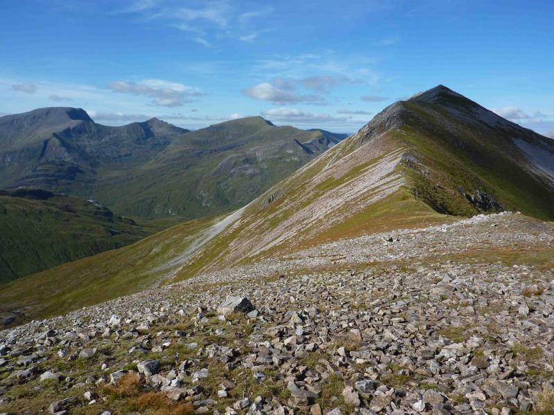
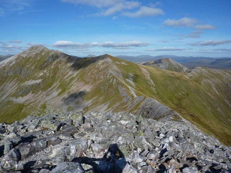
(2) Continue S along the well defined crest, descending on mainly grassy ground before ascending slightly to reach the summit cairn of Binnein Mor S Top, 1062 m.
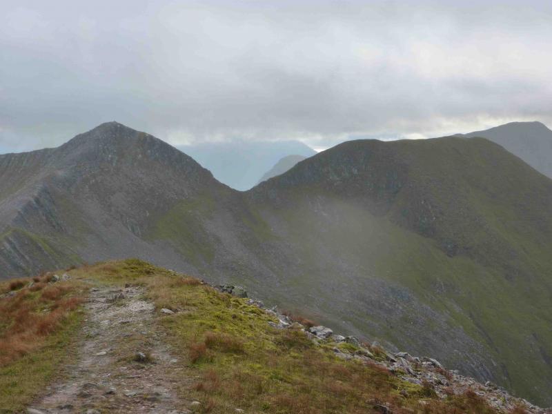
(3) Turn SW, still on a good path, along a narrow ridge and descend to a bealach then ascend stony slopes to reach the large summit cairn of Na Gruagaichean, 1056 m.
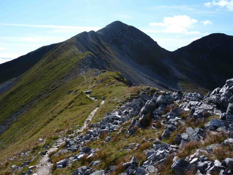
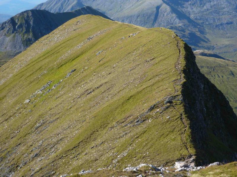
(4) Descend NW on a stony path. Care is needed just above the bealach where erosion has left a section of bare soil covered with very fine scree which can be quite slippery. From the bealach, follow the path, which initially goes left, or take on the more direct easy scramble and ascend to the flattish summit ridge of Na Gruagaichean NW Top, 1041 m.
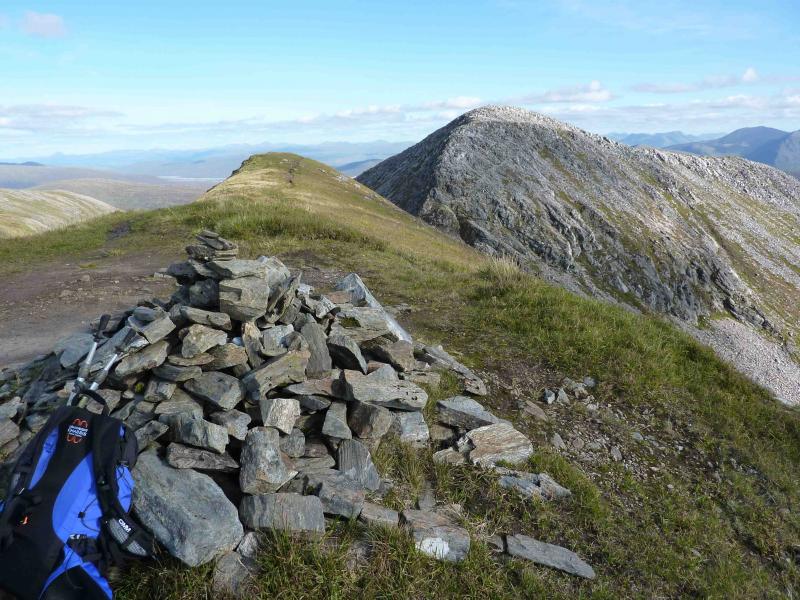
(5) Descend on the well defined path down the, mainly, W ridge to reach the bealach below Stob Coire a’ Chairn. Leave the ridge and follow the obvious path which initially goes SE under the ridge. The path goes well out to the left before turning S then coming back towards the centre of the grassy corrie. In the lower grassy sections, the path can become indistinct and difficult to follow before it straightens out and descends almost due S keeping about 100 m E of, and above, the main burn. The usual “mistake” in descent is to lose the path after the it returns from its broad sweep to the left and it seems to cross a minor stream because there appears to be a continuation of the path on the opposite bank. The real path does not cross this burn but goes left. The apparent path, across the burn soon peters out in boggy ground giving a more unpleasant descent. Some outbuildings are passed just before the main track from Mamores Lodge is joined. Turn left on to the track (do not cross the obvious bridge to the right) and follow the track SSE for about 200 m. Look for a narrow path on the right which is not easy to spot. Follow this mainly S then SW. Almost at the bottom, cross a wooden bridge and climb the flagged steps opposite. Soon reach a wide gravel path and follow this back to the car park.
Notes
(a) This walk took place on 30th August, 2010.
(b) At the wooden bridge, almost at the end of the walk, it is possible to take a short signed detour to the Grey Mares Waterfall.
Photos - Hover over photo for caption. Click on to enlarge. Click on again to reduce.