Get Lost Mountaineering
You are here: Scotland » 02 River Tay to Rannoch Moor » Ben Lawers Range including Tarmachan Ridge and Meall nam Maigheach
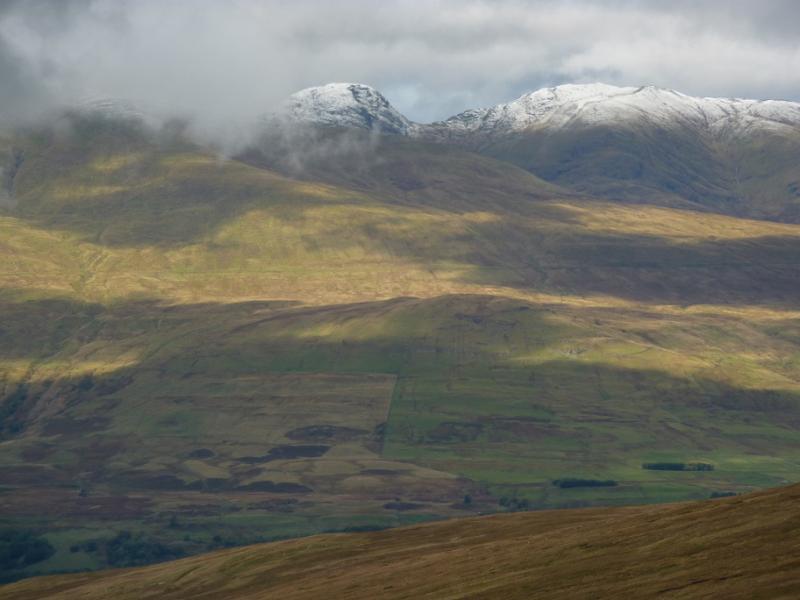
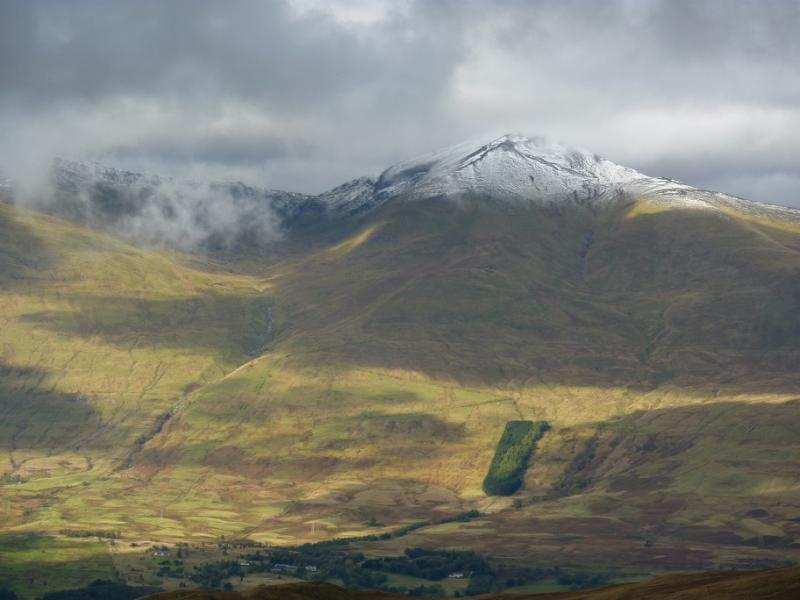
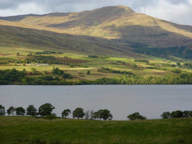
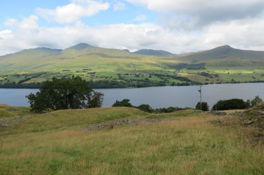
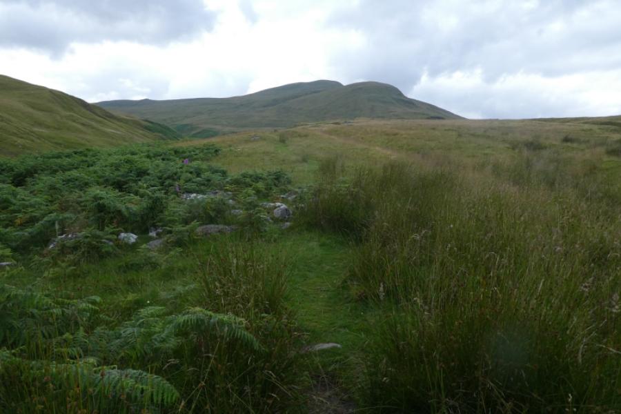
Ben Lawers, An Stuc, Meall Garbh & Meall Greigh from Ben Lawers Hotel
Ben Lawers, An Stuc, Meall Garbh & Meall Greigh
from Ben Lawers Hotel
Start/Finish
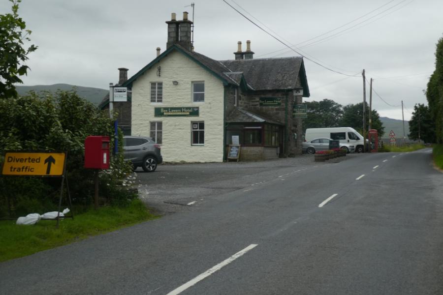
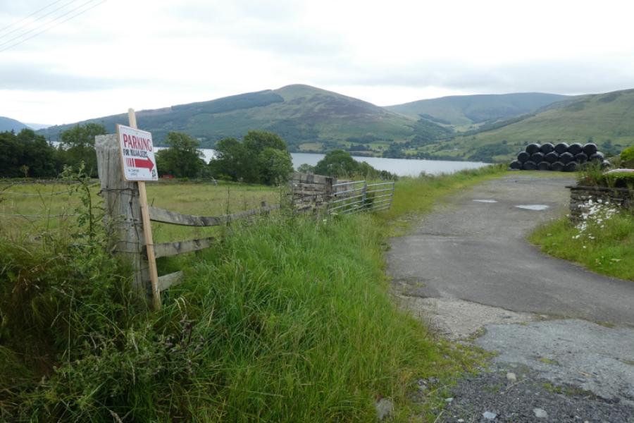
Ben Lawers Hotel car park. The hotel is about half way along the A827 road on the north side of Loch Tay. It can be approached from either Killin, at the west end of Loch Tay, or Kenmore, at the east end. In 2024, there was a separate car park for hillwalkers costing £5 per day. As this provision can change, it is best to check before arriving as there are no other places to park for this walk.
Distance/Time
18 km About 8 hours
Peaks
Ben Lawers, 1214 m, NN 635 414.
Creag an Fhithich, 1047 m, NN 635 422.
An Stuc, 1118 m, NN 639 431.
Meall Garbh, 1118 m, NN 644 436.
Meall Greigh, 1001 m, NN 674 438. OS Sheet 51.
Introduction
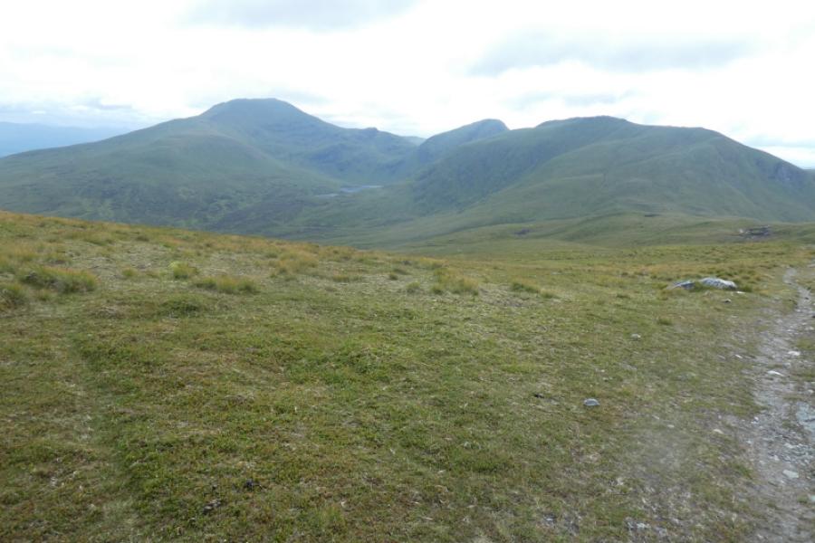
This is quite a tough walk and few attempt it hence parts of this walk are pathless. Ben Lawers is the highest mountain to the south of Ben Nevis. These mountains are very exposed and can be extremely challenging in windy conditions so a clear day with light winds should be chosen outside of winter unless you are very experienced. The views are superb throughout. The descent of An Stuc is very loose and rocky and needs care but it isn't really a scramble although hands will be needed on some of the rocks.
Route
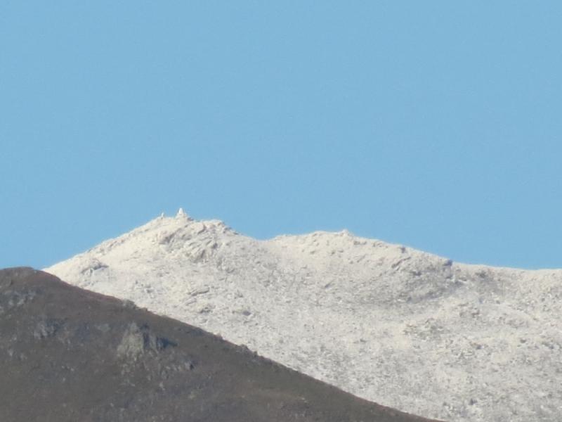
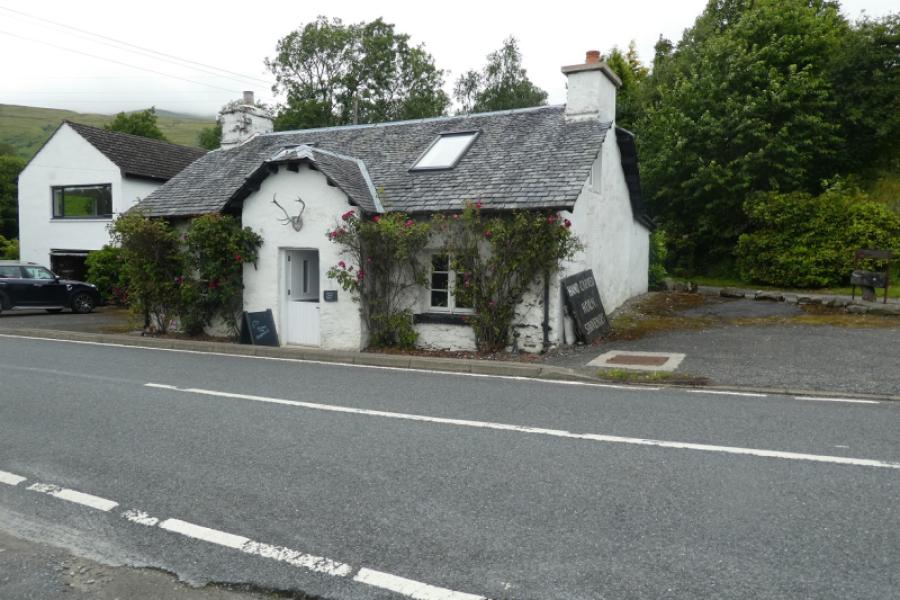
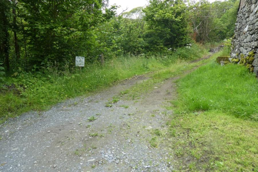
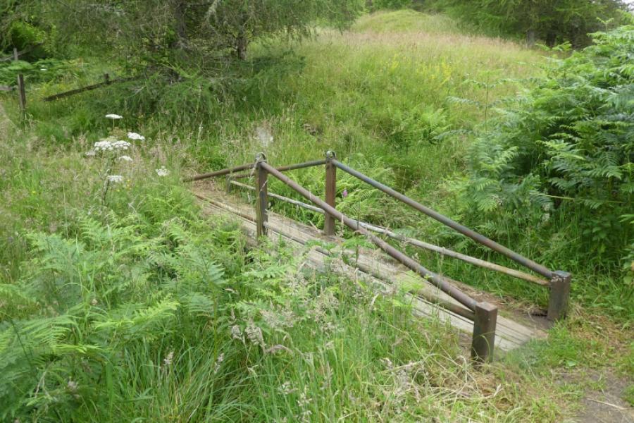
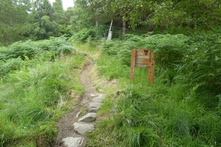
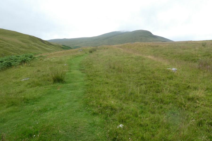
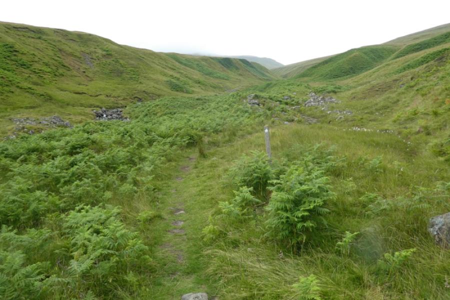
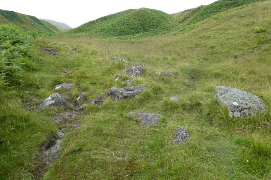
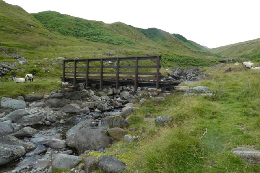
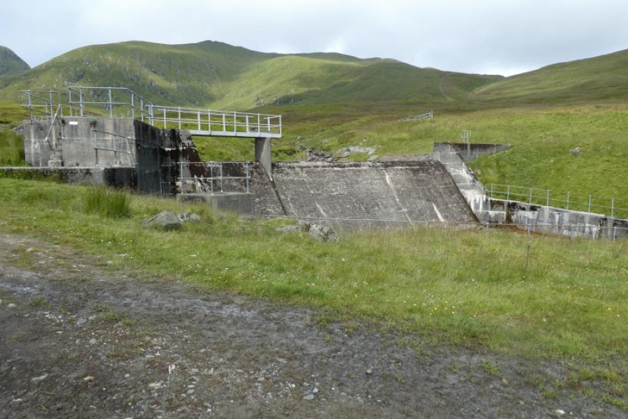
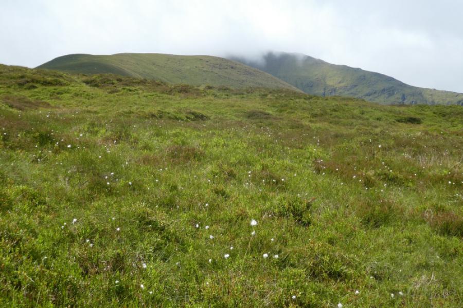
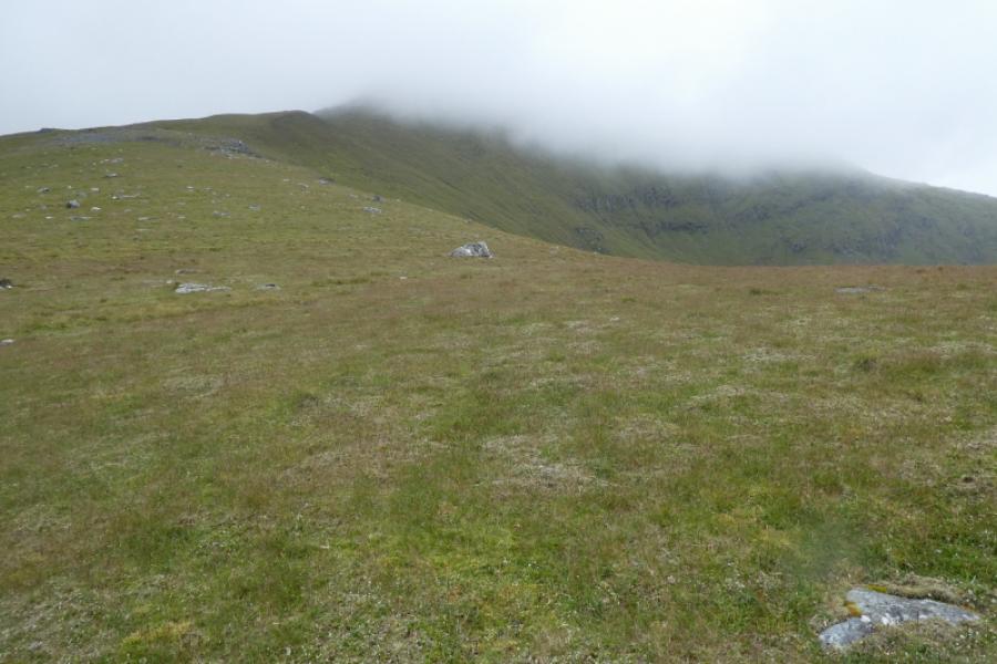
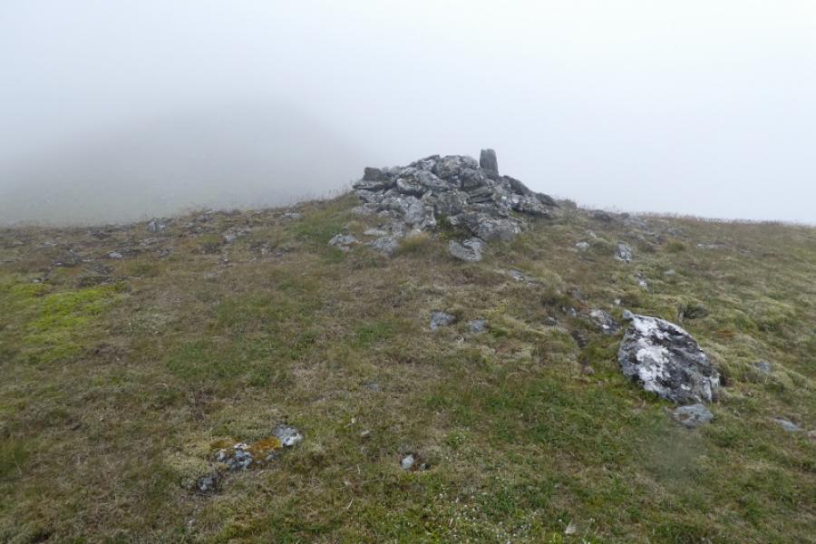
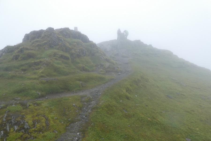
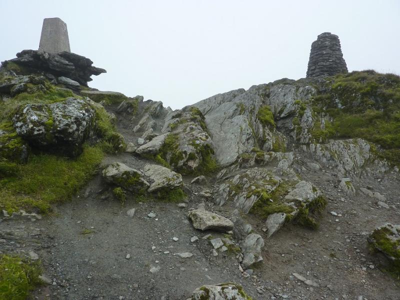
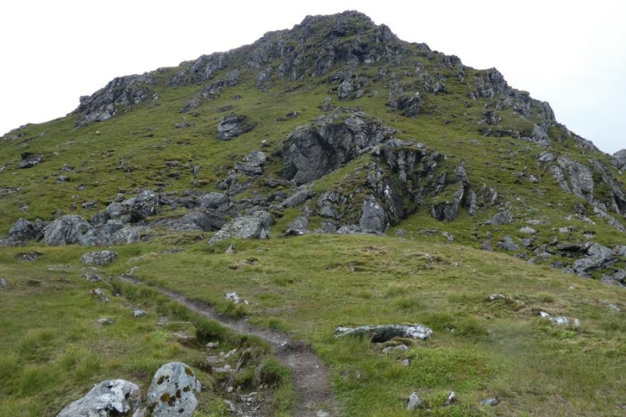
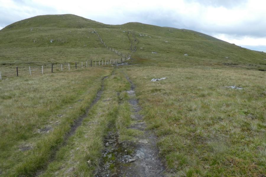
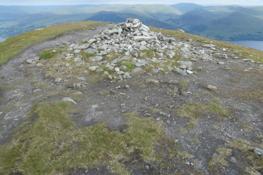
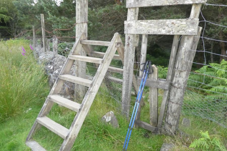
(1) Walk out of the Ben Lawers Hotel car park and turn right towards Kenmore. The road descends gently. Walk to the second bridge which is over the Lawers Burn. Just after here is the Horn Carver's shop opposite a private lay by. Just after here is a gravel track which goes behind the Horn Carver's and is signed for Machuim Farm. Follow the track up which becomes a path that goes through a wood and eventually emerges on to the open hill side at a large stile. From here, follow the obvious path to the E of the burn. Continue until a newish bridge crosses the burn. The path then zig zags up to the top of the bank and continues until it meets a landrover track. The next stage has no clear route and it seems best to cross the track and pick a way up the hillside until one can find a faint path heading up. The east ridge is very broad at this stage but gradually narrows as one ascends. The ridge steepens just after a prominent (split) boulder but, surprisingly, the path becomes harder to follow. Continue up passing some cairns and crossing some small plateaus. The path reappears higher up especially when the ridge noticeably narrows before eventually reaching the highest point where there seems to be what seems to be both an old and new trig point marking the summit of Ben Lawers, 1214 m.
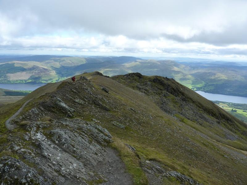
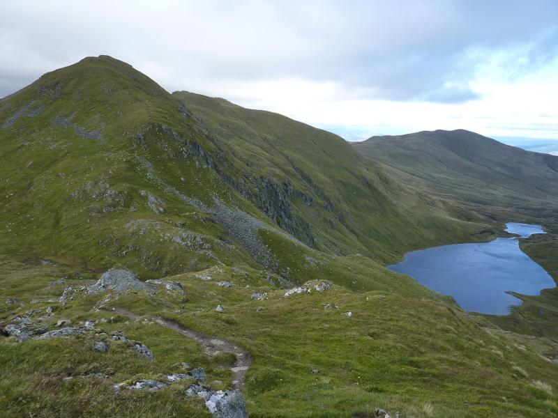
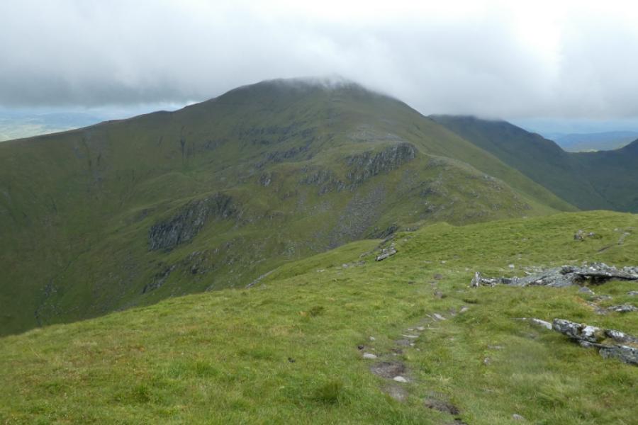
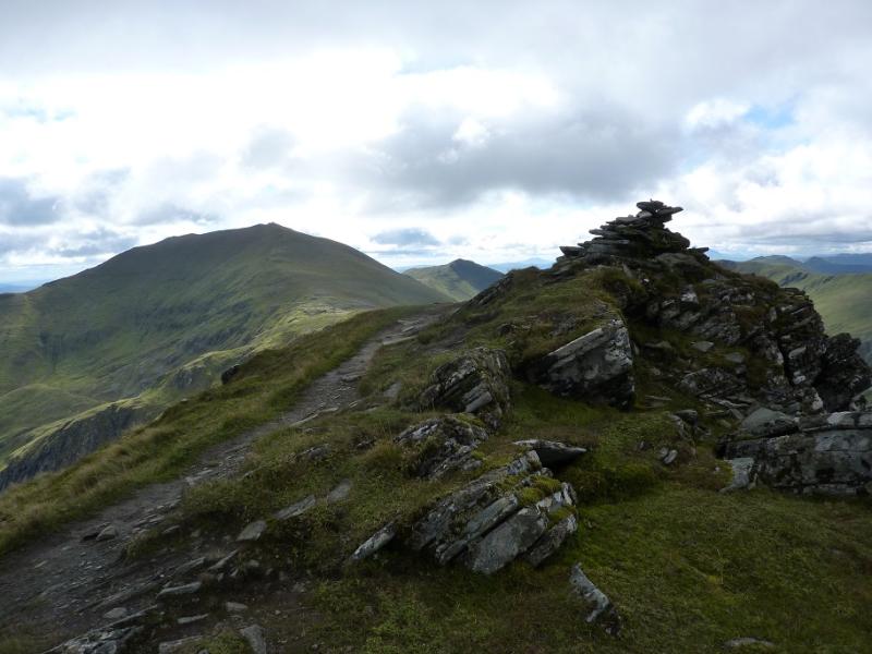
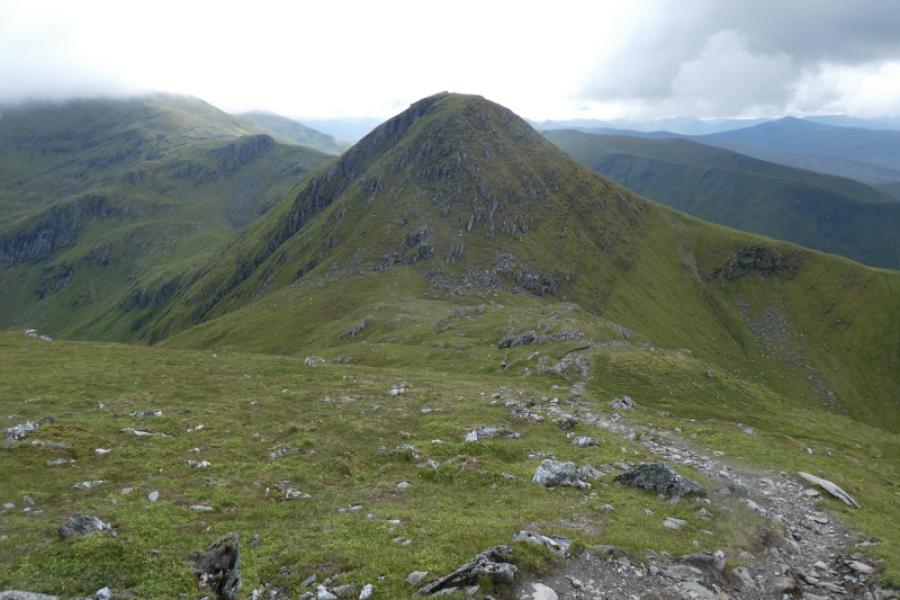
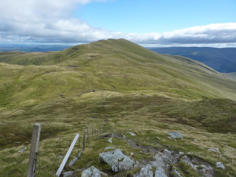
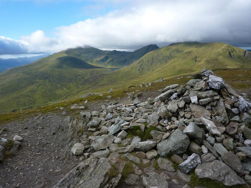
(2) Take the path descending north from the summit and follow it down, steeply in places, and continue down the ridge until the path ascends to reach a small cairn marking the summit of Creag an Fhithich, 1047 m. It may not have looked much of a summit on approach but it certainly looks like one when descending th eother side.
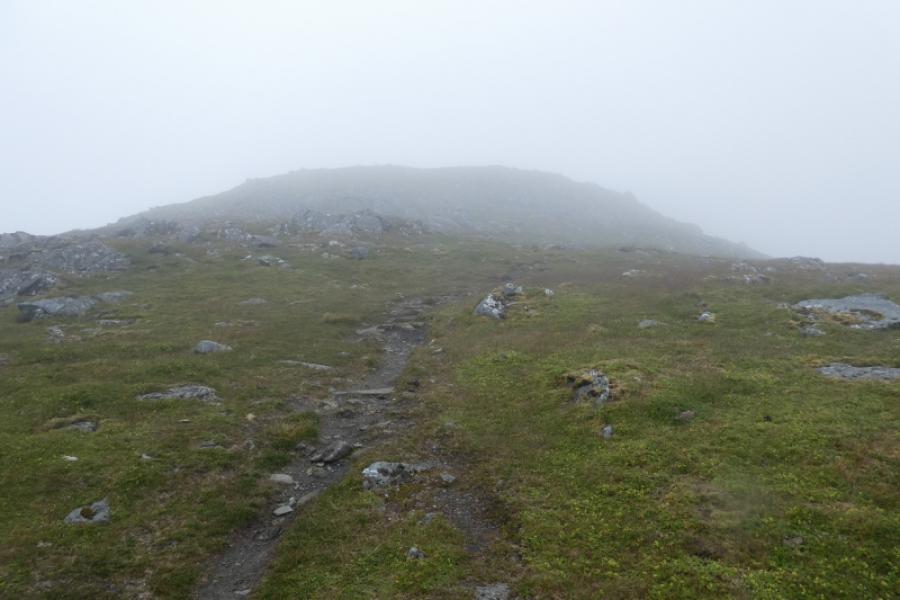
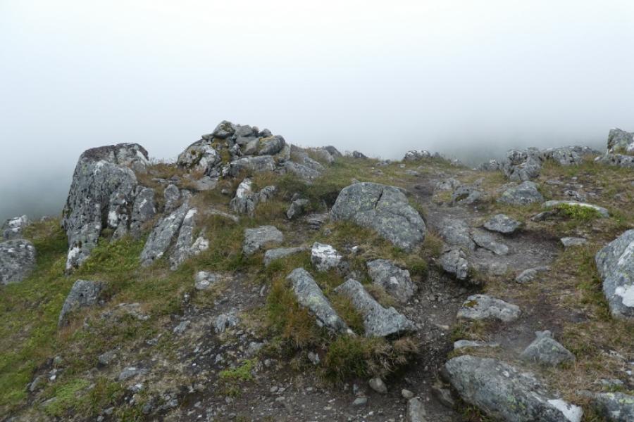
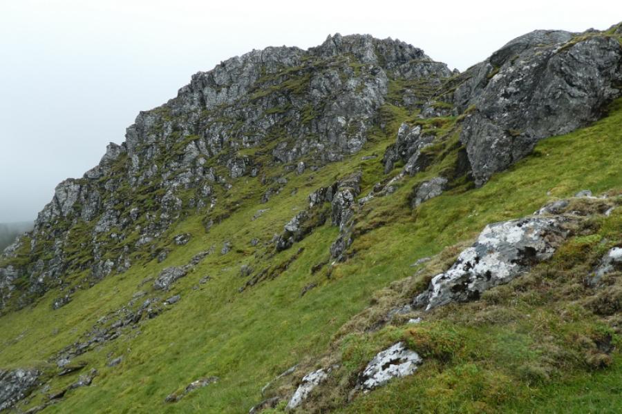
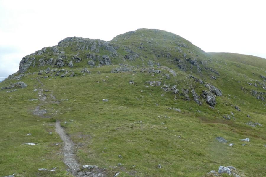
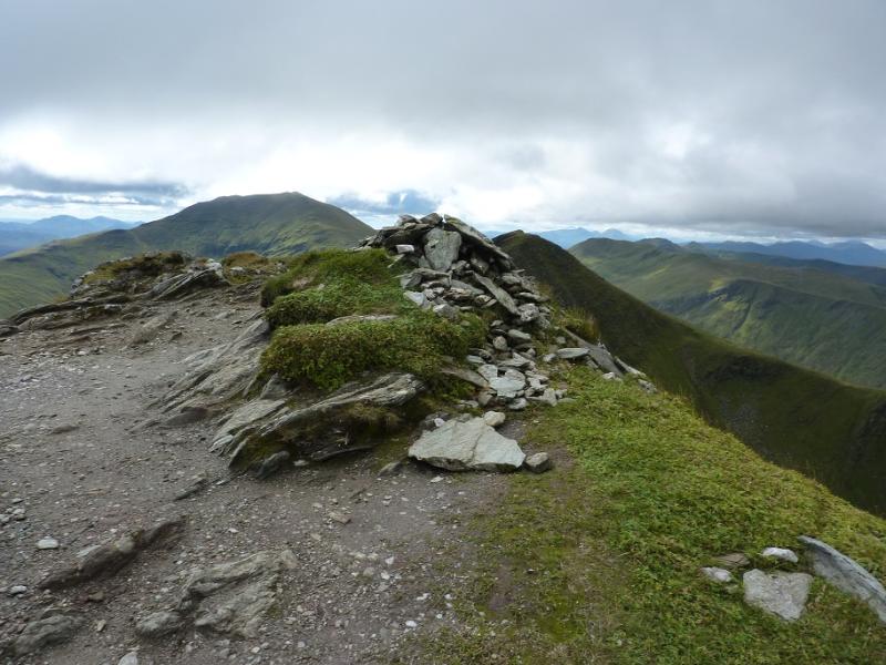
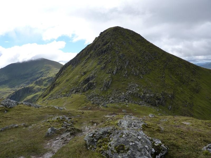
(3) Continue on the path, descending quite some way to the dip below An Stuc. Ascend the obvious path to reach the cairn which marks the summit of An Stuc, 1118 m.
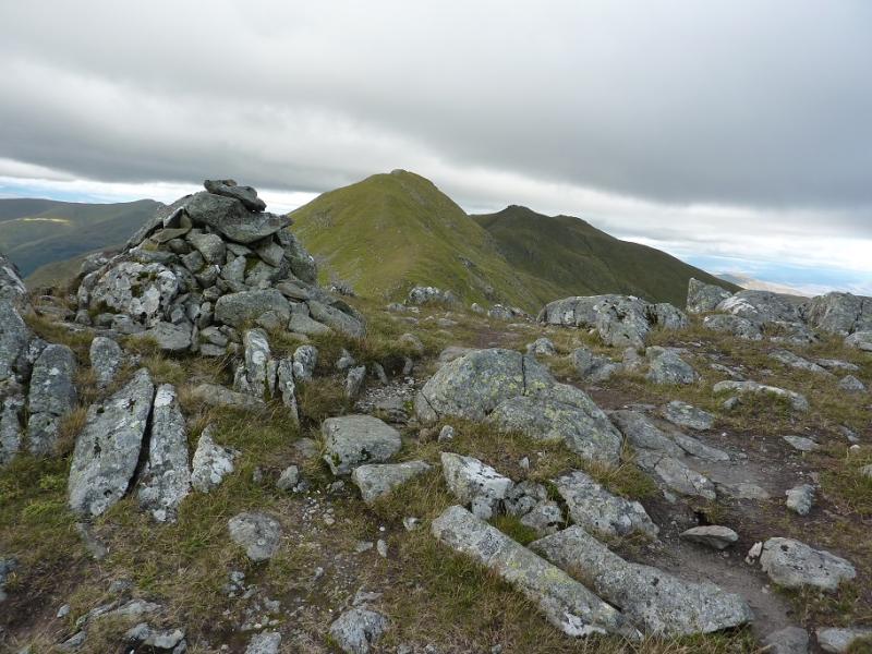
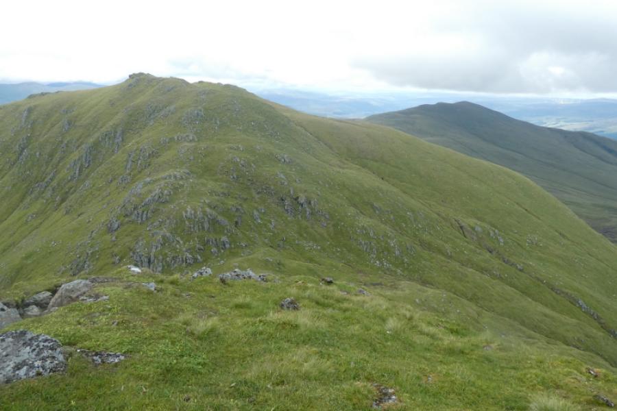
(4) The descent of An Stuc needs some considerable care as part of the path is steep, loose and twisting as it descends a rocky slope. It isn't a climb nor even a scramble but you will need to use the rocks as a handrail in places. A slip could easily result in broken bones. Once down, a good path leads up from the dip to reach the cairn which marks the summit of Meall Garbh, 1118 m.
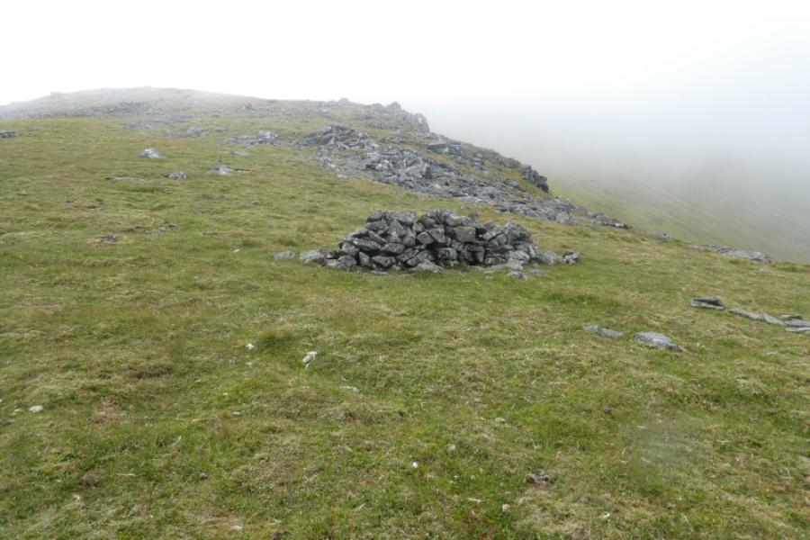
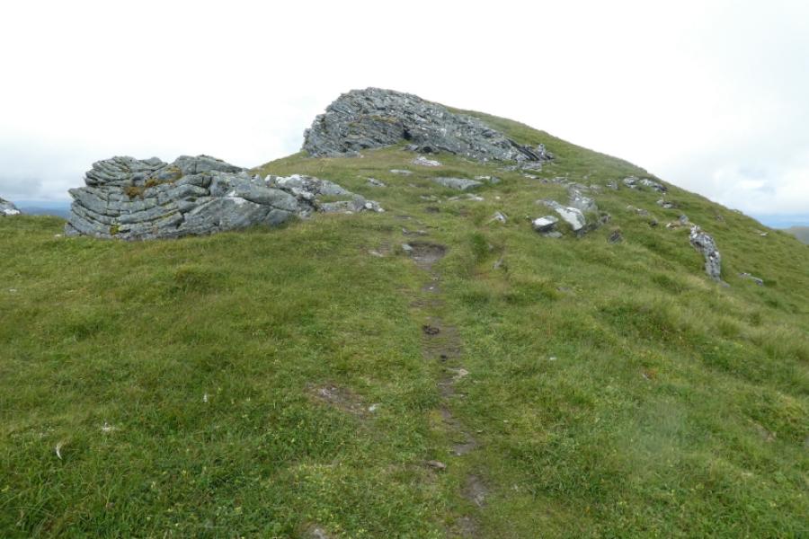
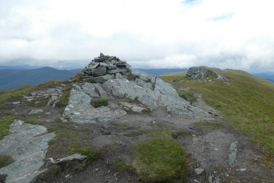
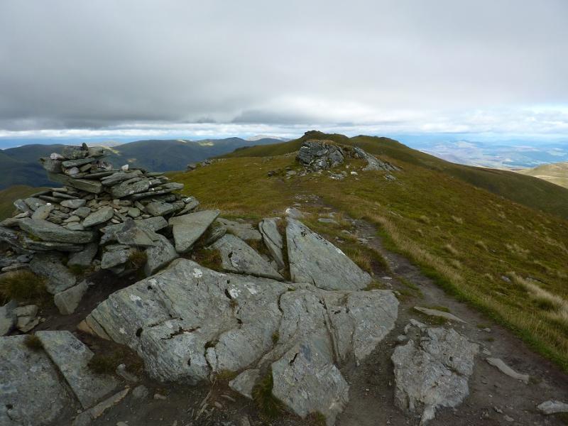
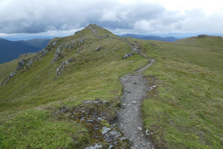
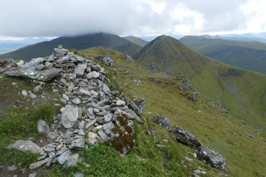
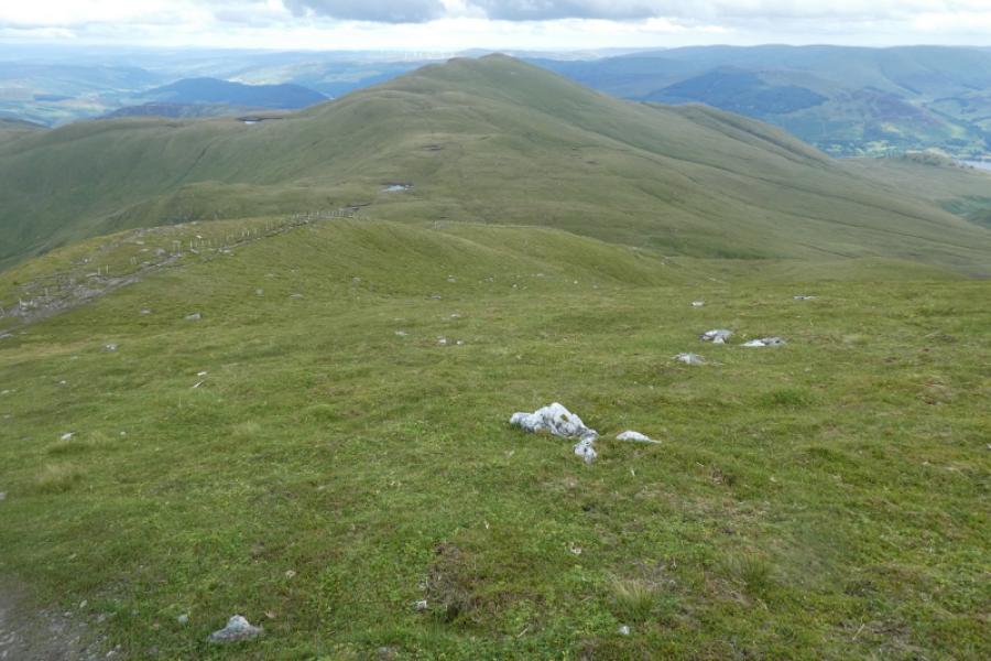
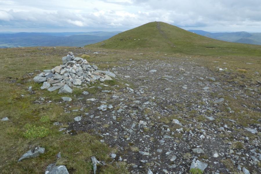
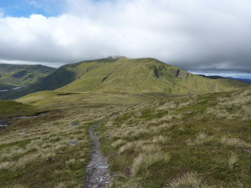
(5) The continuation is fairly obvious on a distinctive path which shadows a fence. The ground now gradually becomes less rocky and more grassy which can mean wet and boggy patches especially in the bealach (col). Continue up on a fairly distinct path still shadowing the fence part of the way. A cairn is reached which is the north top. Continue further to reach the larger cairn which is the summit of Meall Greigh, 1001 m.
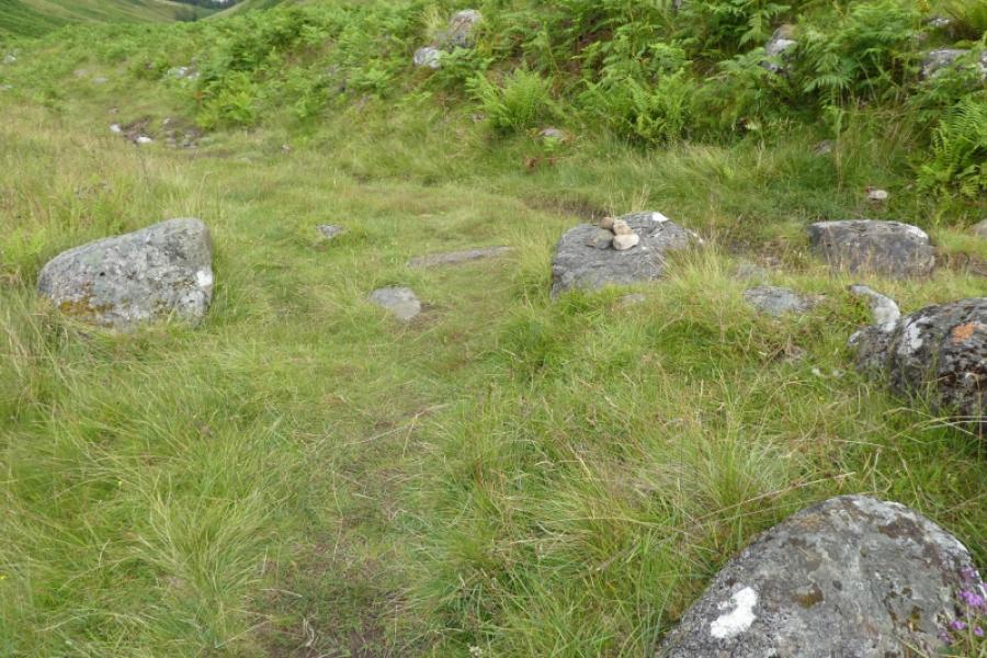
(6) The descent path is as obvious as the ascent path. It eventually leads down to a shallow boggy gap where it seems to disappear. It has actually gone right just before the boggy path then crossed the end of it before continuing on the edge of the hill. It does not go down the grassy gully at the end of the boggy patch. The path is now quite easy to follow as it makes a descending traverse down towards the Lawers Burn where it joins the outward path on the bank above the burn. Turn left and soon reach the stile into the wood where the outward path is retraced back to the start.
Notes
(a) This walk took place on 17th July, 2024.
Photos - Hover over photo for caption. Click on to enlarge. Click on again to reduce.