Get Lost Mountaineering
You are here: Scotland » 02 River Tay to Rannoch Moor » Ben Lawers Range including Tarmachan Ridge and Meall nam Maigheach
The Meall nanTarmachan Ridge (excluding Creag na Caillich) from Bridge of Balgie road
The Meall nanTarmachan Ridge (excluding Creag na Caillich) from Bridge of Balgie road
Start/Finish
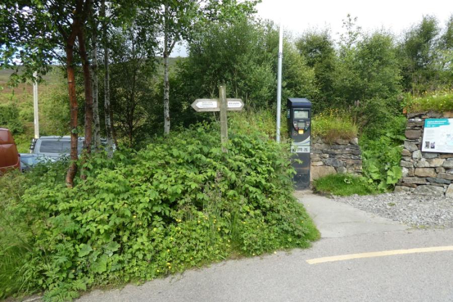
National Trust car park car park on the Loch Tay to Bridge of Balgie road and about 1 mile S of the dam at the S end of Lochan na Lairige. In 2024, the parking charge was £4 per day. This start replaces the old starting point which was from the start of a track further up the road.
Distance/Time
13 km About 5 – 6 hours
Peaks
Meall nan Tarmachan SE Top, 923 m, NN 589 385.
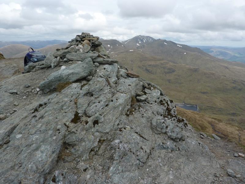
Meall nan Tarmachan, 1043 m, NN 585 390.
Meall Garbh, 1026 m, NN 578 383.
Beinn nan Eachan, 1000 m, NN 570 383. OS Sheet 51.
Introduction
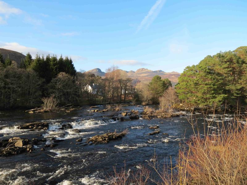
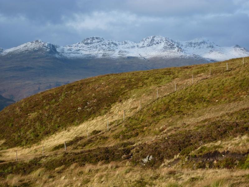
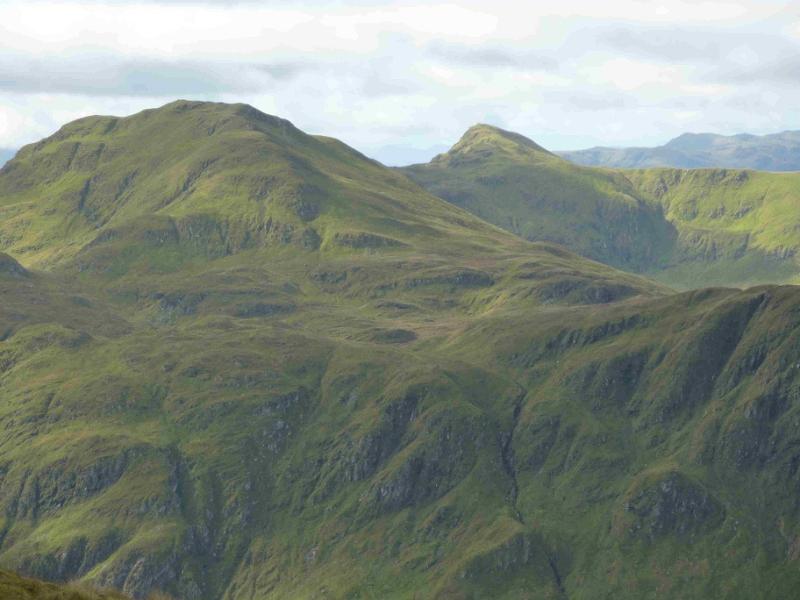
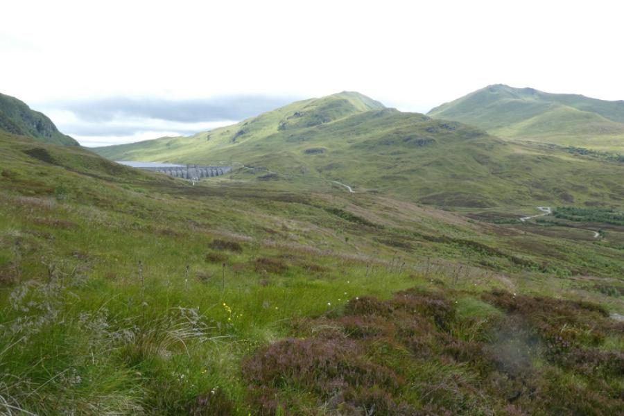
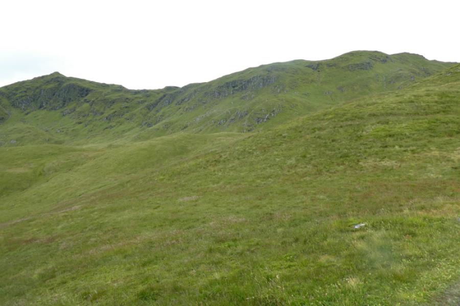
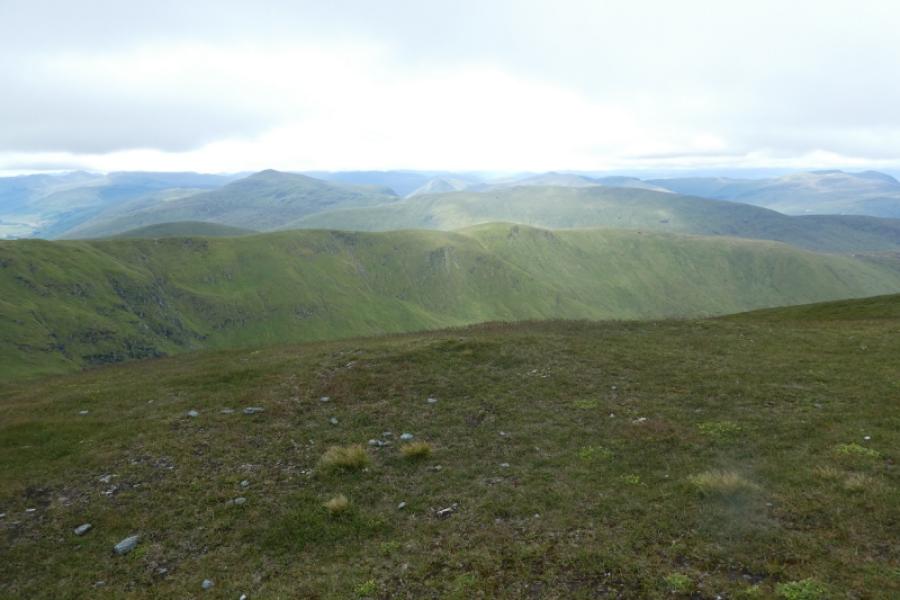
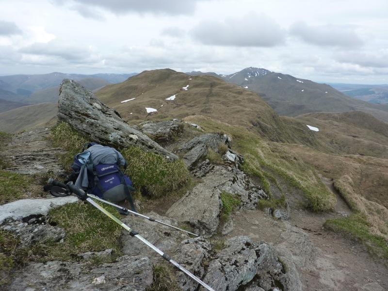
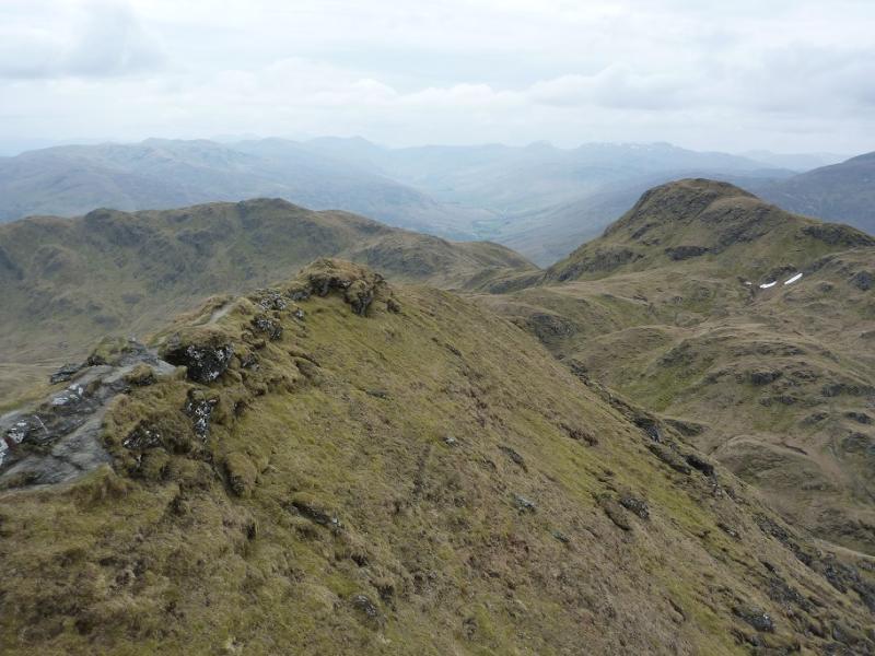
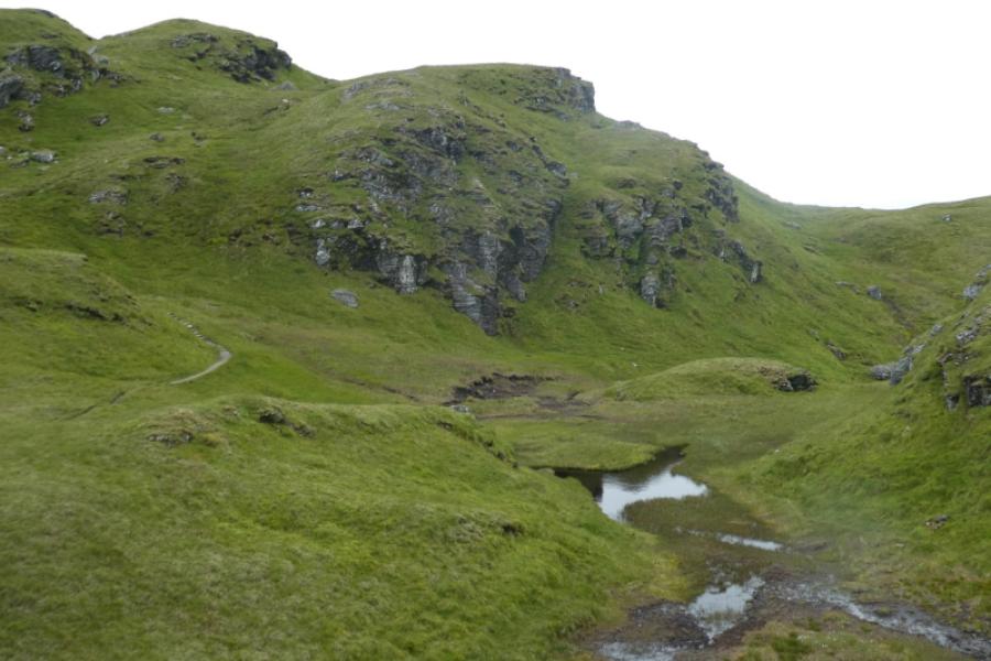
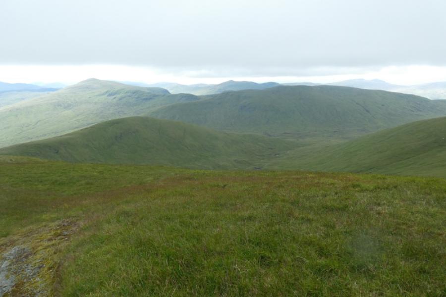
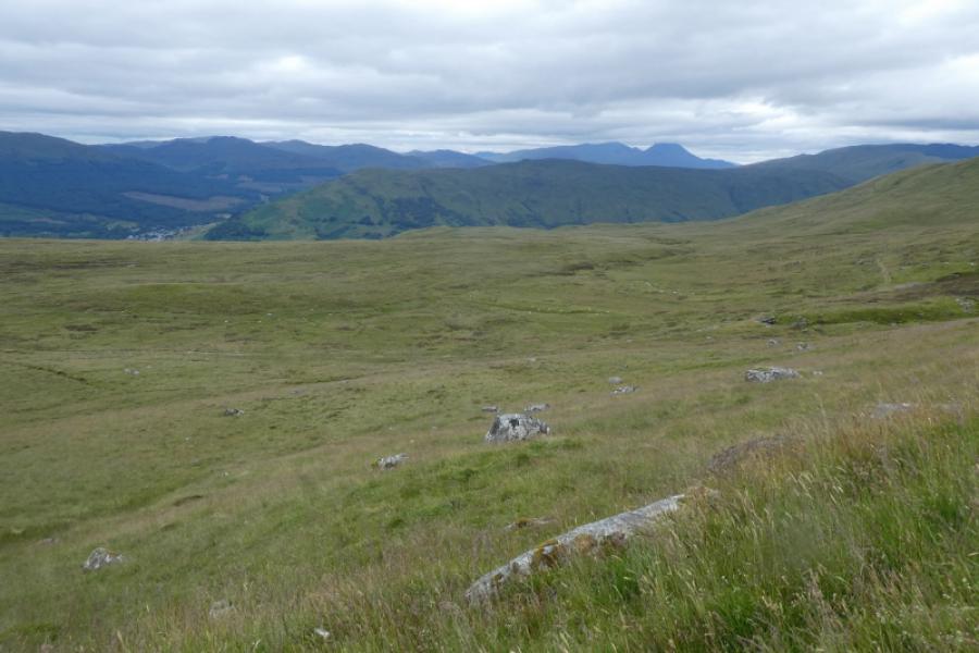
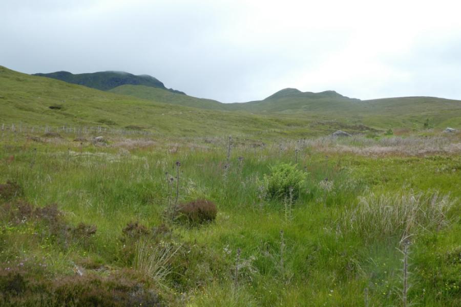
This is a fairly easy walk to navigate as there is a good path/track all the way apart from the early stages of the descent path from the ridge to the old quarry track where the path crosses wet ground and wmay be difficult to follow in poor visibility or under snow. There are fine views to the Ben Lawers range, the Crianlarich Hills, the Glen Lyon hills, Ben Vorlich and Stuc a’Chroin and the Glen Lochay hills. Despite its ease of navigation, this walk is still best done on a clear day to enjoy the views. Note that in a 2015 survey, Creag na Caillich was found to be slightly lower than Munro height so is no longer a Munro Top which is why it is omitted from this walk although the full ridge walk is still posted.
Route
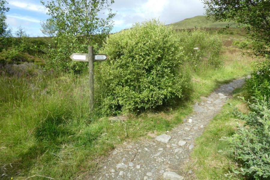
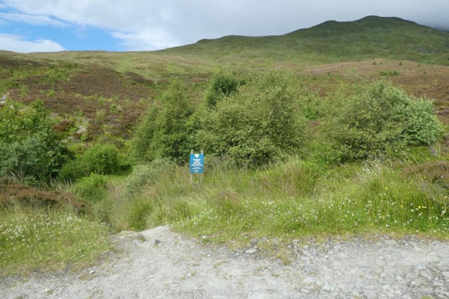
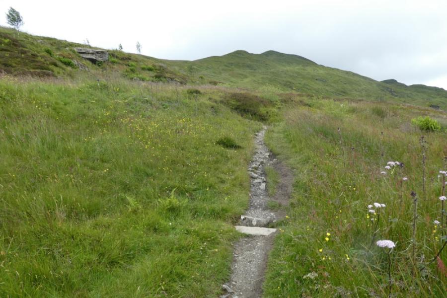
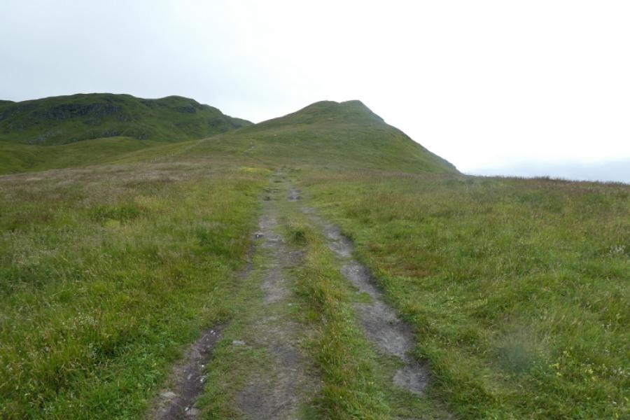
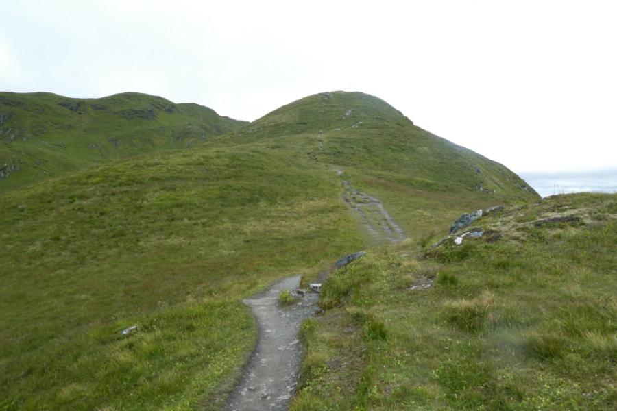
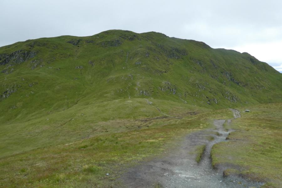
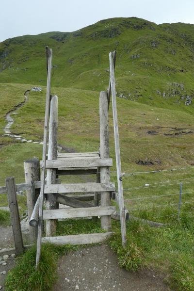
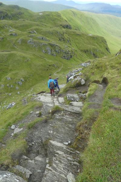
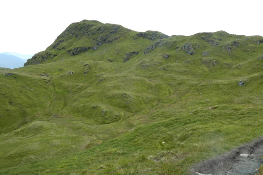
(1) Follow the path, signed for Meall nan Tarmachan, out of the car park to reach and cross a track after which there is an obvious stony path continuing up the hill. Follow this path up on to the SE ridge where the path continues up this ridge on to a shoulder then to the small summit cairn on the SE Top of Meall nan Tarmachan, 923 m.
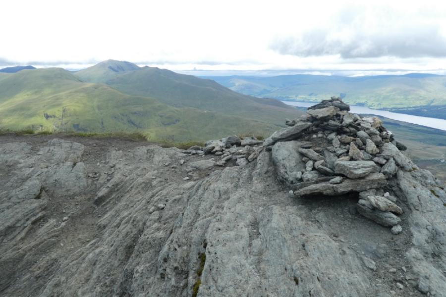
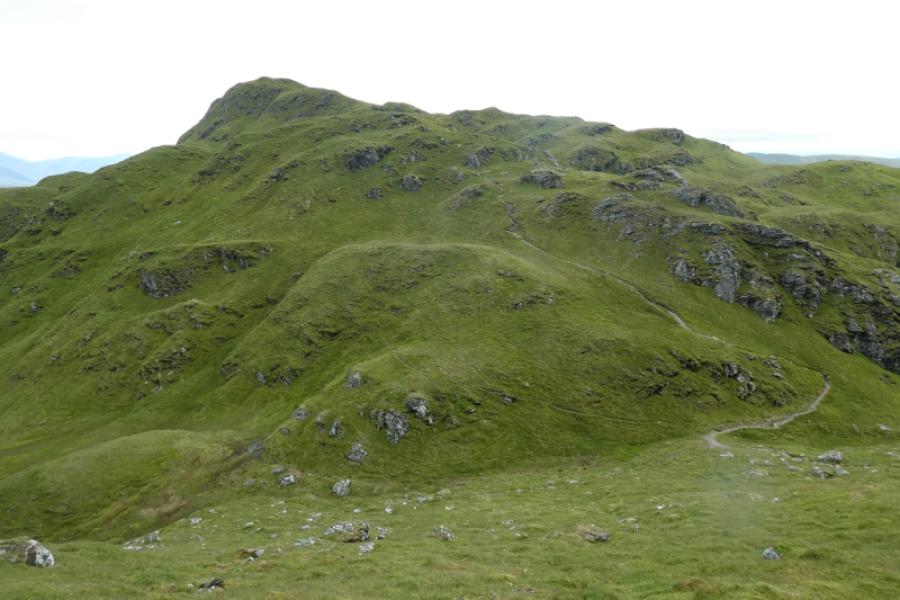
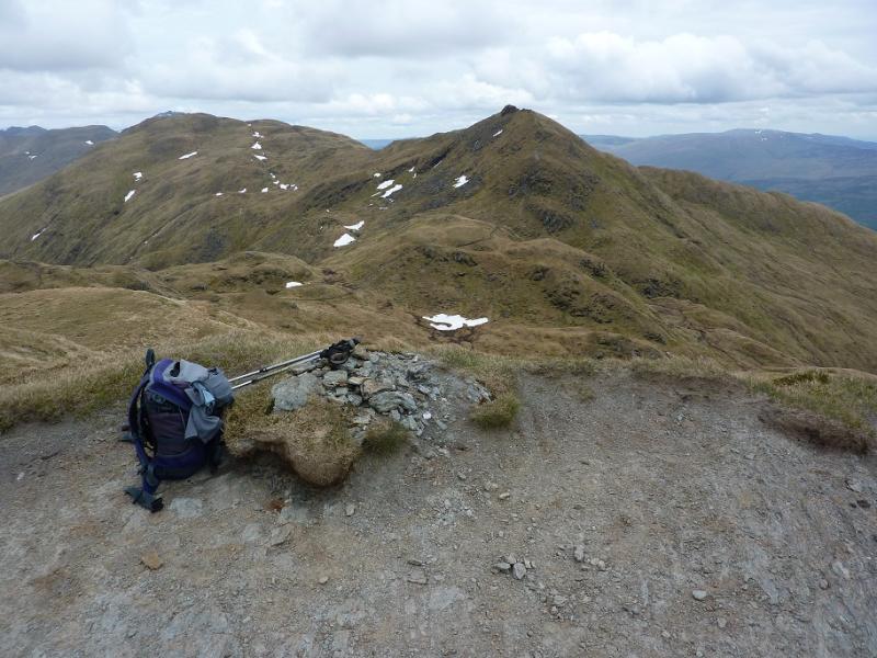
(2) The path then descends to a bealach before climbing towards the main top. There is a steep stepped section before the path goes right across the grass below the rocky face before reaching a grassy shoulder then cutting back left to reach the large summit cairn of Meall nan Tarmachan, 1043 m.
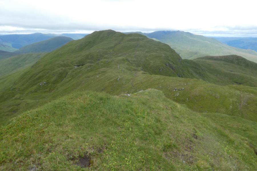
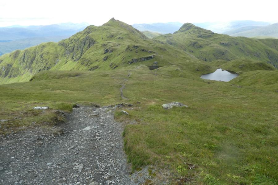
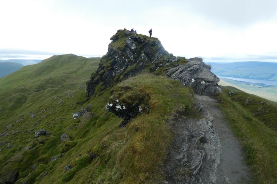
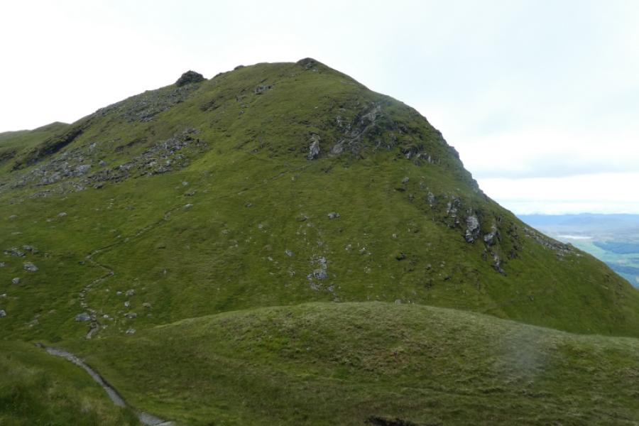
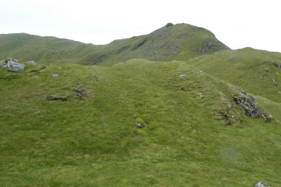
(3) The path continues down SW ridge to a bealach near two lochans before climbing up to the rocky (no cairn) summit of Meall Garbh, 1026 m, arguably the finest summit in the range.
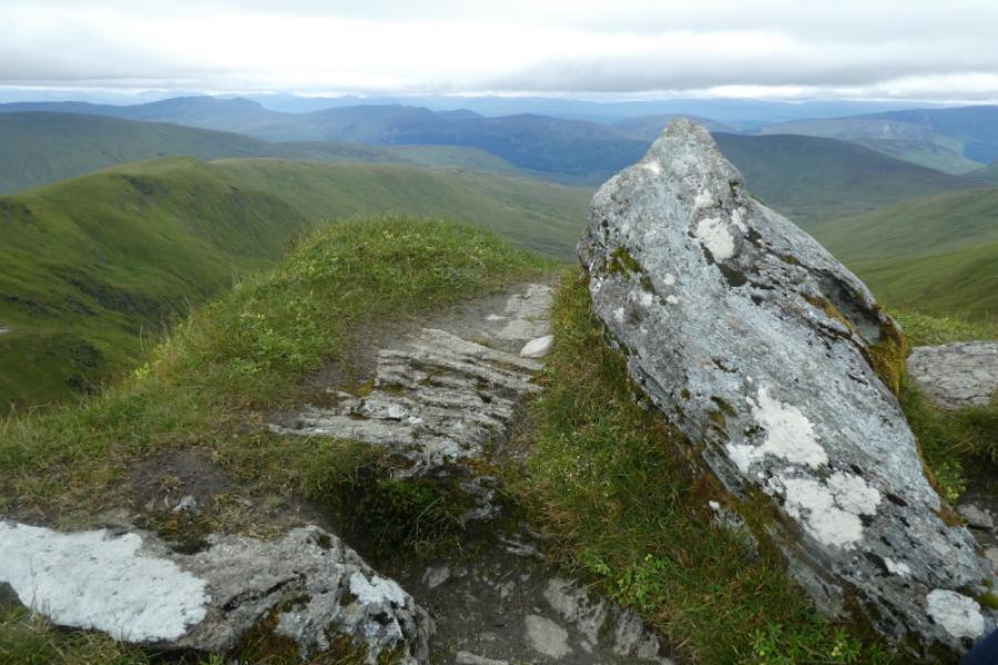
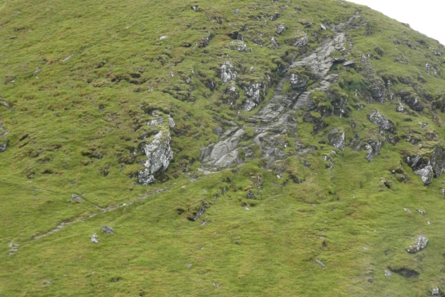
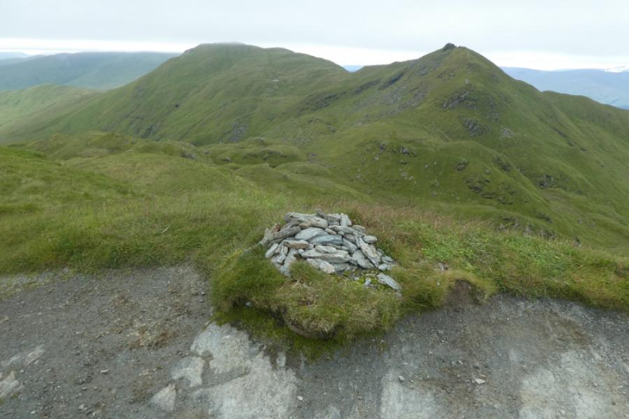
(4) Descend gently W along a narrow ridge before reaching the top of a “bad step” which is a rocky ramp. This can be descended by a narrow gully on the right or by broken slabs on the left. The “bad step” can be avoided all together by taking the path going off to the right just above where ther amp starts. This path winds its way down to the bottom of the rocky ramp. The main path then continues more gently down to a bealach then climbs, with many twists and turns, to the small summit cairn of Beinn nan Eachan, 1000 m.
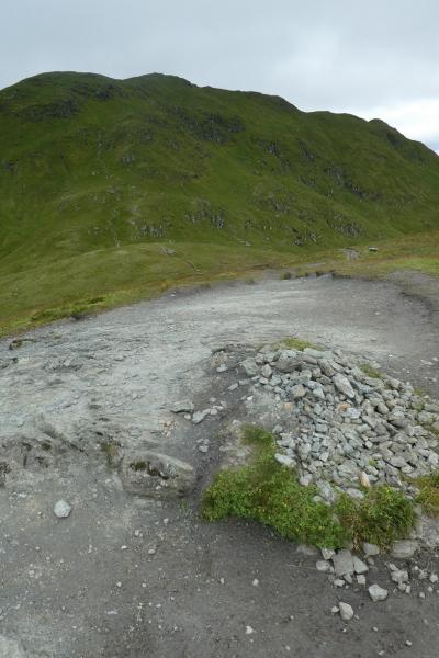
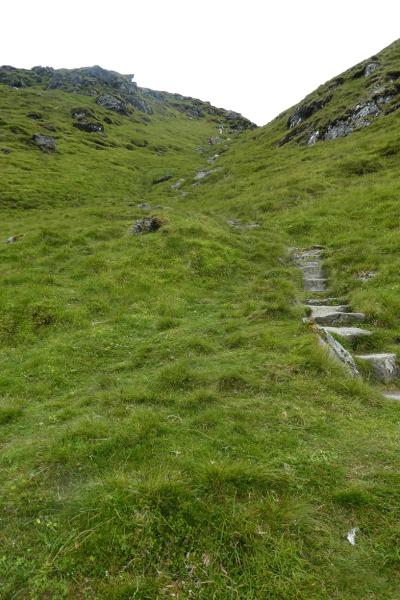
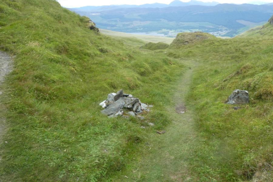
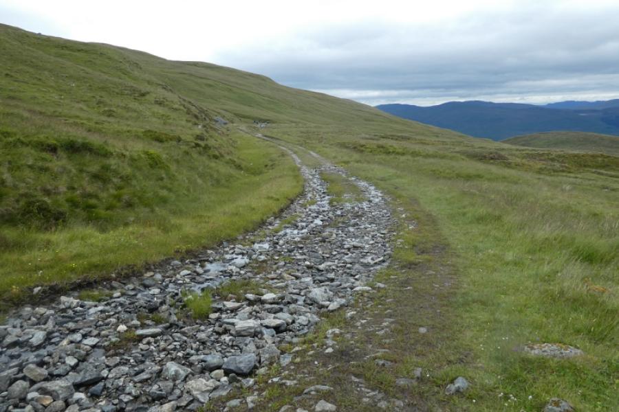
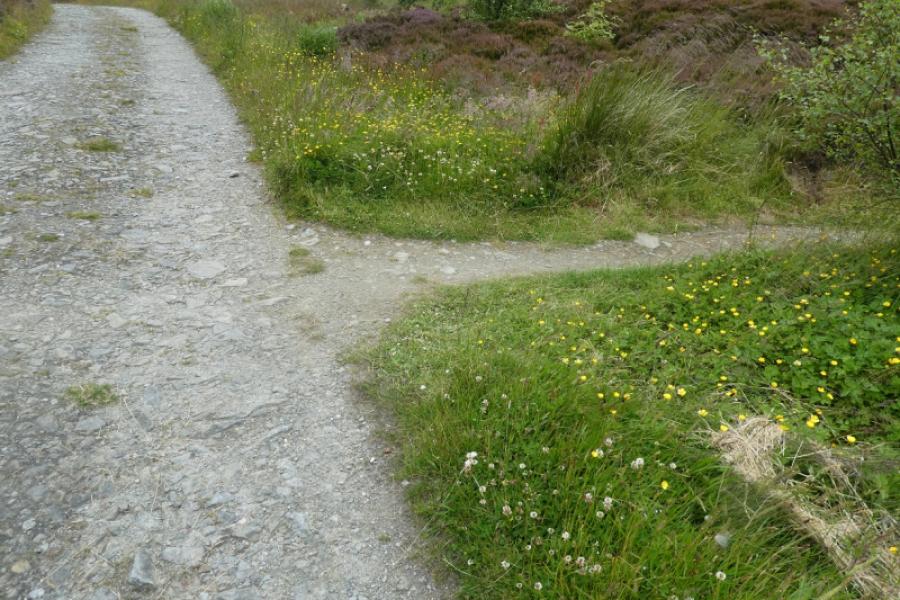
(5) The path descends SW to the next bealach where a cairn marks the start of the path leading off the mountain. Follow this path, sometimes over wet and mossy ground, until it meets the track coming from the old quarry. Follow this track around the south ridge of Meall nan Tarmachan for some distance until reaching the trees. Continue to a small dip after which the path back to the car park, used earlier, is reached.
Notes
(a) This walk took place on 13th July, 2024, with the full ridge (including Creag na Caillich) being walked several times previously.
Photos - Hover over photo for caption. Click on to enlarge. Click on again to reduce.