Get Lost Mountaineering
You are here: Scotland » 01 South of Oban to Stirling and Fife » Ben Lui Range to Crianlarich
Meall nan Gabhar via Succoth Track
Meall nan Gabhar via Succoth Track
Start/Finish
Parking spaces just after the start of the forestry track to Succoth. This goes south from the A85, Tydrum to Dalmally road, about 2 miles east of Dalmally and about 300 m west of the B8074 Glen Orchy road to Bridge of Orchy. There is a sign at the start of the track.
Distance/Time
14 km About 5 – 6 hours.
Peaks
Meall nan Gabhar, 744 m, NN 235 240. OS sheet 50.
Introduction
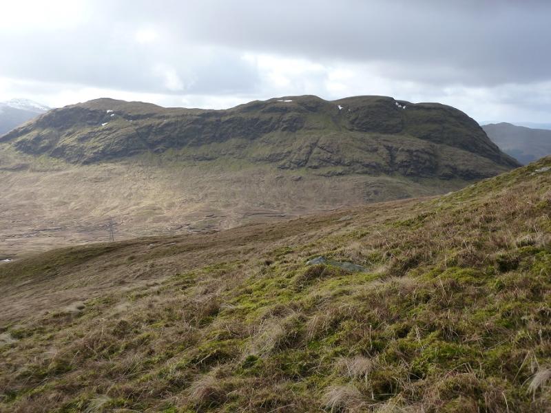
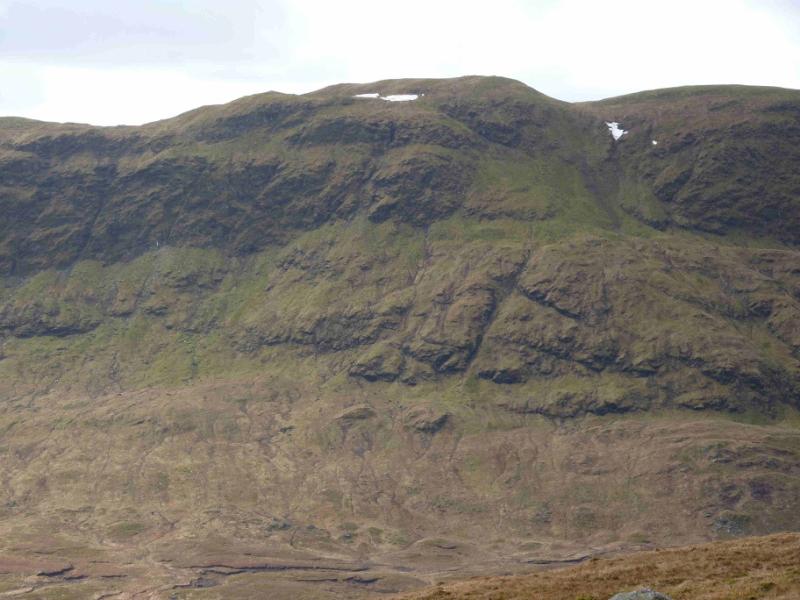
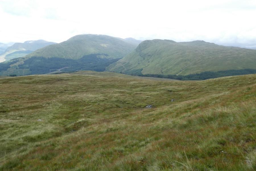
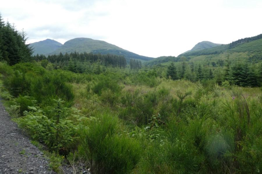
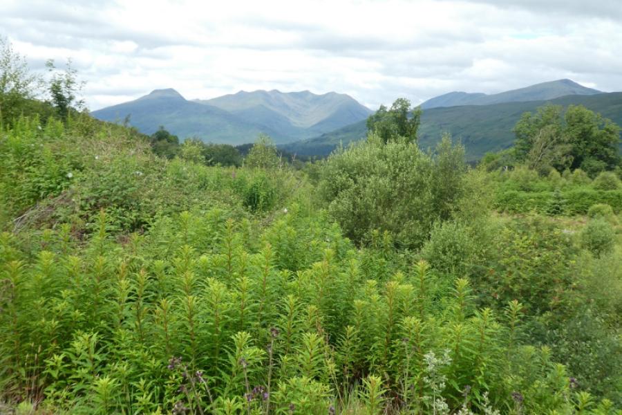
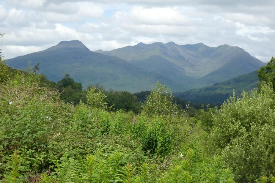
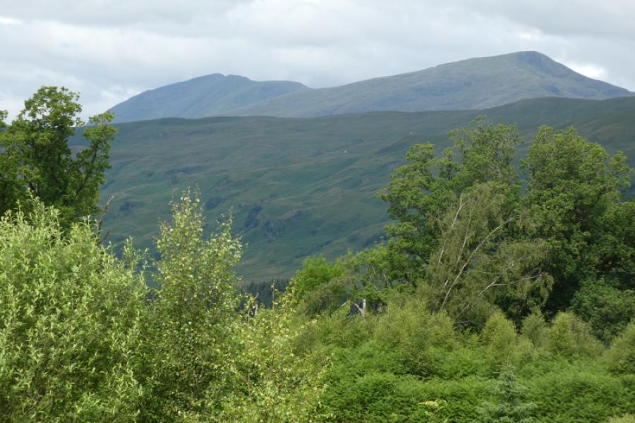
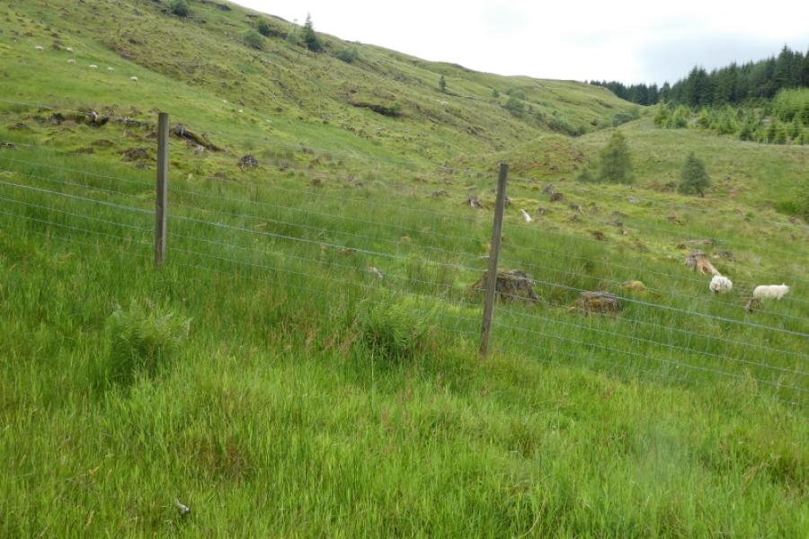
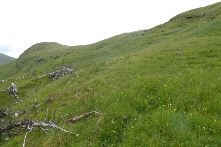
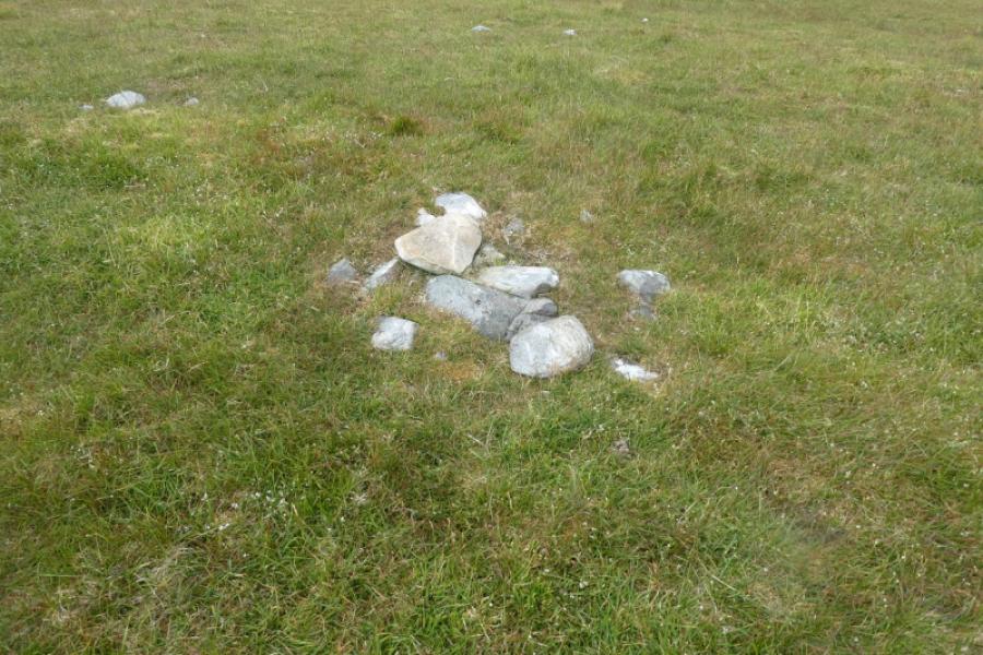
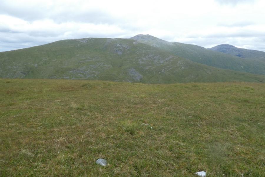
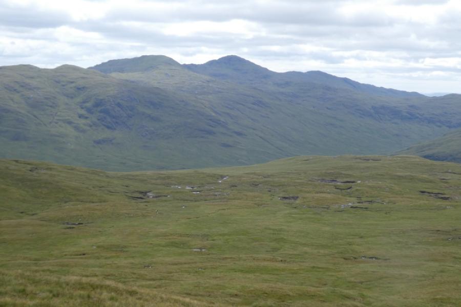
This is a mixed walk which uses a heavy duty forestry track to get fairly close to Meall nan Gabhar and a bicycle would save time on this route especially as the return is almost all downhill. Once the forestry track is left, one has to ascend pathless slopes, steep in places, but not overgrown. The cairn which existed in 2012 seems to have shrunk to just a very few stones. This walk would be very challenging to navigate in mist especially finding the summit. In clear weather, there will be views to Beinn na Sroine, Beinn Bhuidhe, Beinn a' Chleibh, Ben Lui, Beinn Eunaich, Stob Diamh, Beinn Bhalgairean and many more. Beinn a' Chleibh is particularly prominent. Note that a high wire deer fence has to be climbed over soon after leaving the forestry track.
Route
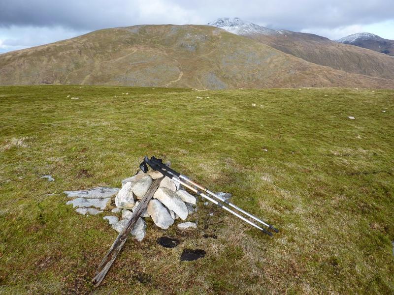
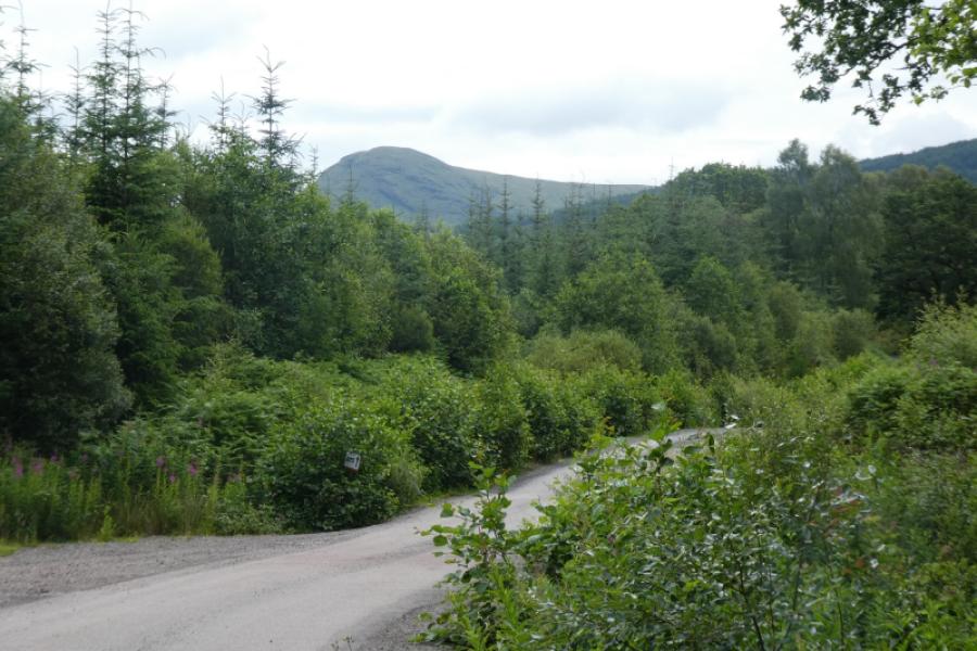
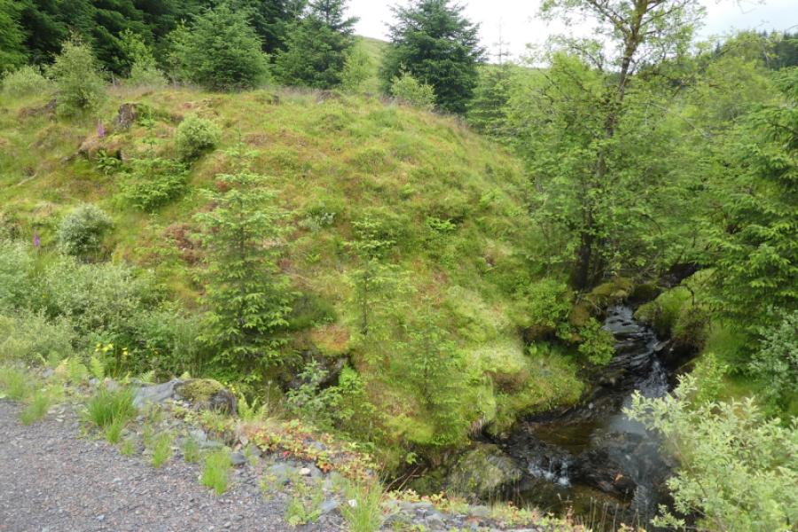
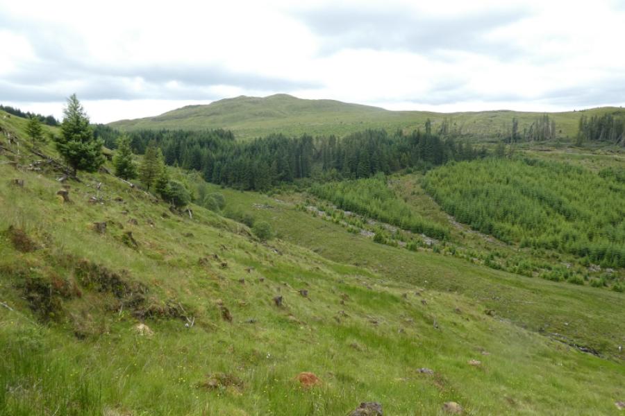
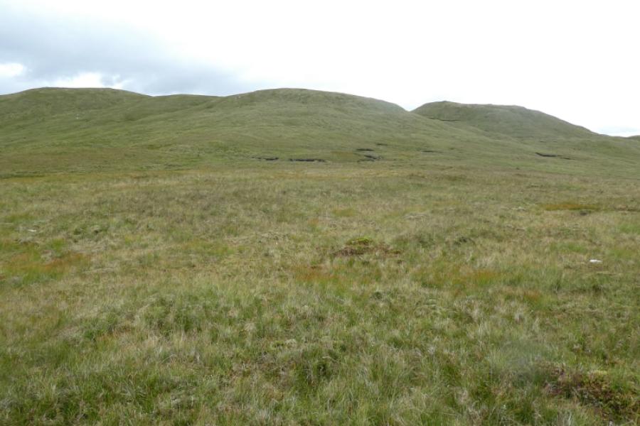
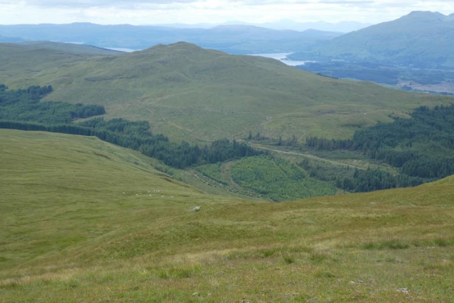
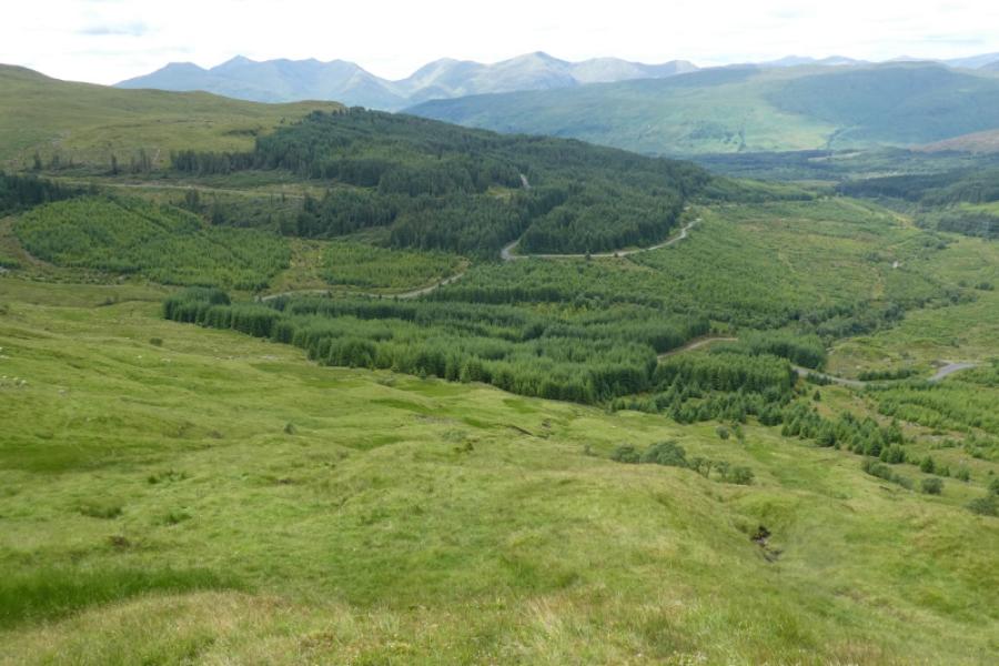
(1) Walk up the track going straight on at any junctions. Pass the bridge on the left, which is the track to Succoth Lodge, and continue ahead to pass under the multiple arched railway viaduct. Continue on the track which bends right after the railway. Stay with the main track as it passes below the pylons. Continue to reach a hairpin bend, at about the highest point so far, where the track divides. Meall nan Gabhar looms ahead. Go straight on, descending slightly to where the forestry restarts on the right just after the track crosses a stream. Leave the track just after the stream and follow the edge of the forestry over rough and mossy ground to soon reach a high wire deer fence which has to be climbed over. Pick a way upwards looking for the easiest ground – it is less steep to drift to the right. Reach the crest and head roughly north east along the broad grassy ridge. In clear weather, three tops will be ahead. Aim for the middle one and eventually reach a small plateau where there is a tiny cairn which seems to mark the summit of Meall nan Gabhar, 744 m.
(2) Retrace back down to where the deer fence was crossed, trying to avoid the steepest ground and the few crags, then walk back along the track to the car park.
Notes
(a) This walk took place on 11th July 2024.
Photos - Hover over photo for caption. Click on to enlarge. Click on again to reduce.