Get Lost Mountaineering
You are here: Scotland » 01 South of Oban to Stirling and Fife » Ben Lomond, Crianlarich, Balquidder and Trossachs
Ben Ledi (Straight up and down) from South end of Loch Lubnaig
Ben Ledi (Straight up and down) from South end of Loch Lubnaig
Start/Finish
S end of Loch Lubnaig. Leave A84 Strathyre to Callander road at S end of Loch Lubnaig and cross the obvious bridge over the river flowing out of the loch. This is at NN 586 092. Once across bridge, turn left and drive down a short, rough track where there are 3 car parks. If the car parks are full then there is a layby about 300 m north on the main and the Falls of Leny car park about 1 km south on the main road.
Distance/Time
11 km About 5 hours
Peaks
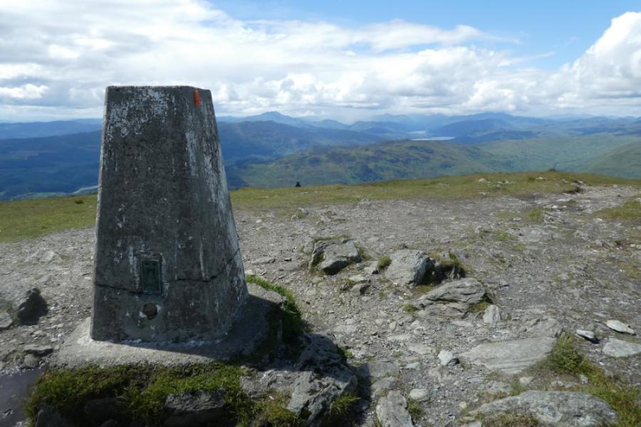
Ben Ledi, 879 m, NN 562 097. OS sheet 57.
Introduction
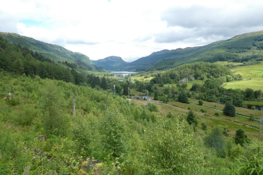
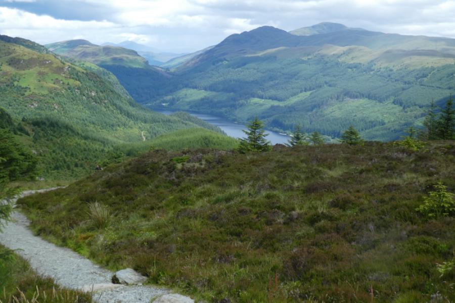
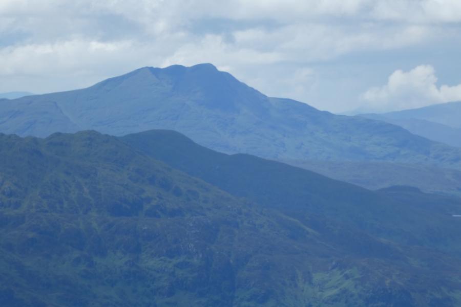
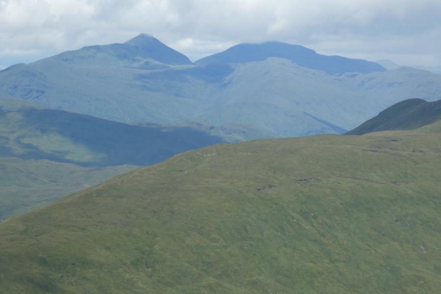
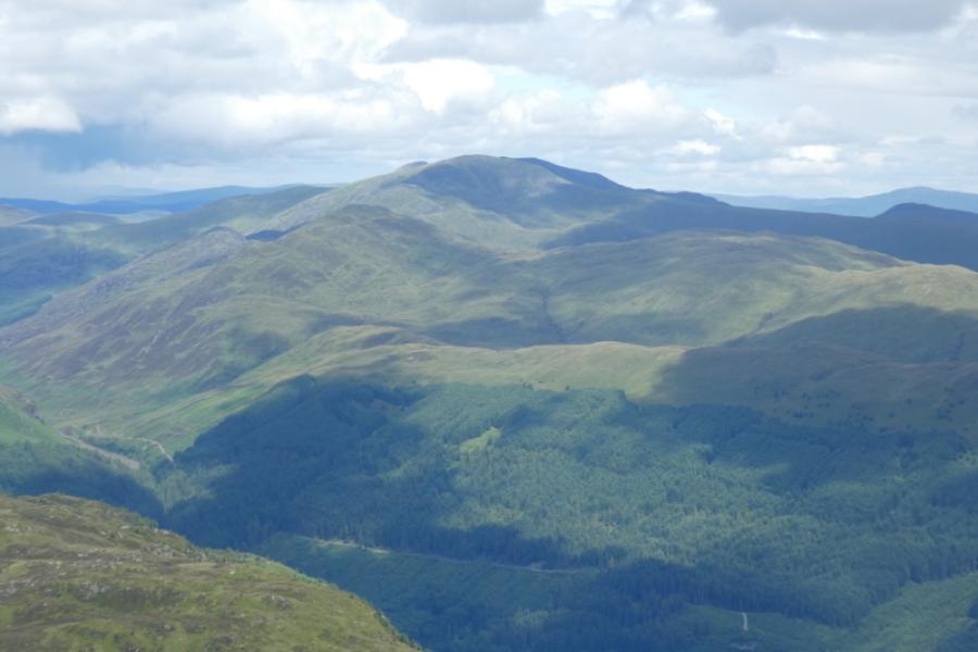
This walk gives good views in all directions including Ben More and Stob Binnein, Stuc a' Chroin and Ben Vorlich and Ben Lomond. The ascent of Ben Ledi is straightforward although, to some, it will seem tedious, strenuous and unrelenting.
Route
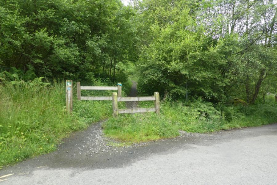
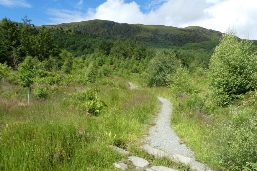
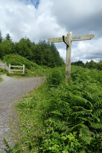
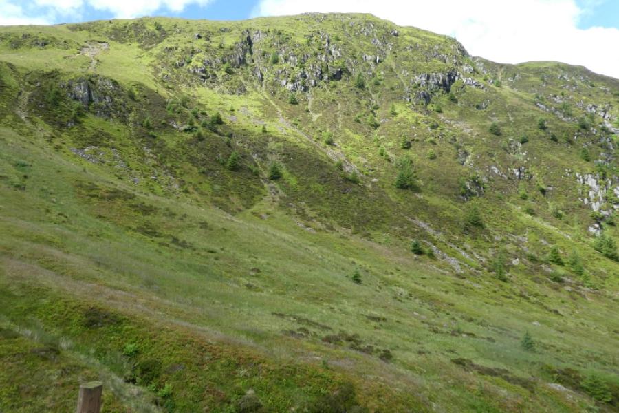
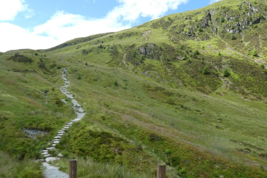
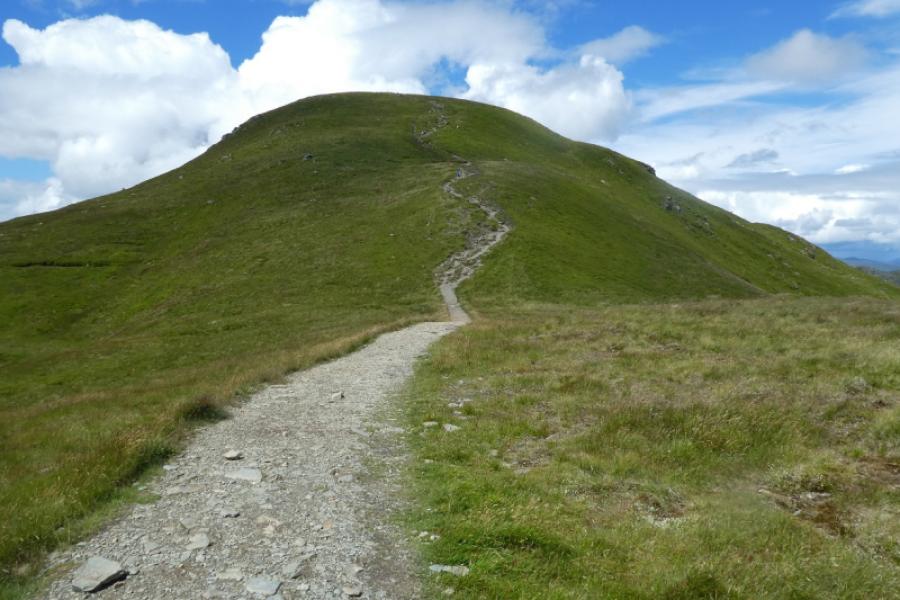
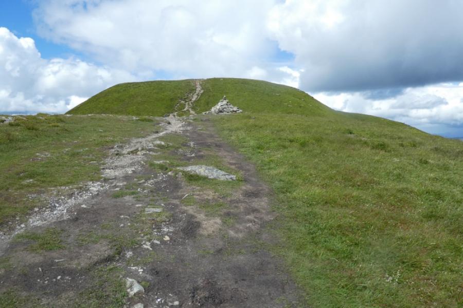
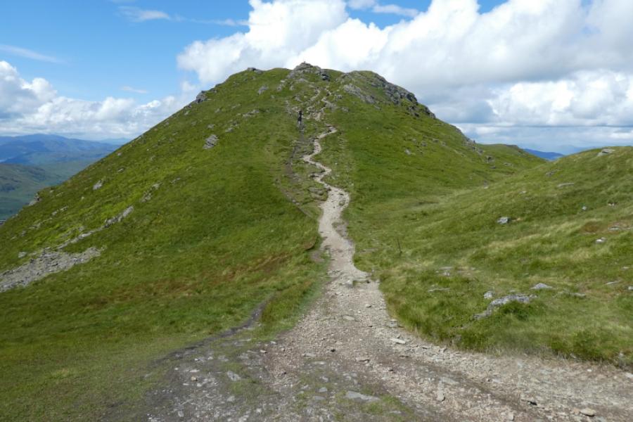
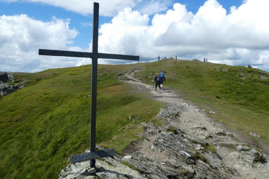
(1) From the car park, return to the beginning of the rough track. At the bridge, go left and, within 20 m, find the start of an obvious way marked path going uphill. Follow this good path up through the forest. The path emerges from the forest at a track. Cross the track and follow the obvious continuation of the path. This leads uphill to eventually reach the SSE ridge of Ben Ledi. The path, boggy in places, continues up this ridge and over a few shoulders to reach a cairn with a cross. About 50 m further is a large cairn which marks the summit of Ben Ledi, 879 m.
(2) Retrace the outward route.
Notes
(a) This walk took place on 7th July, 2024.
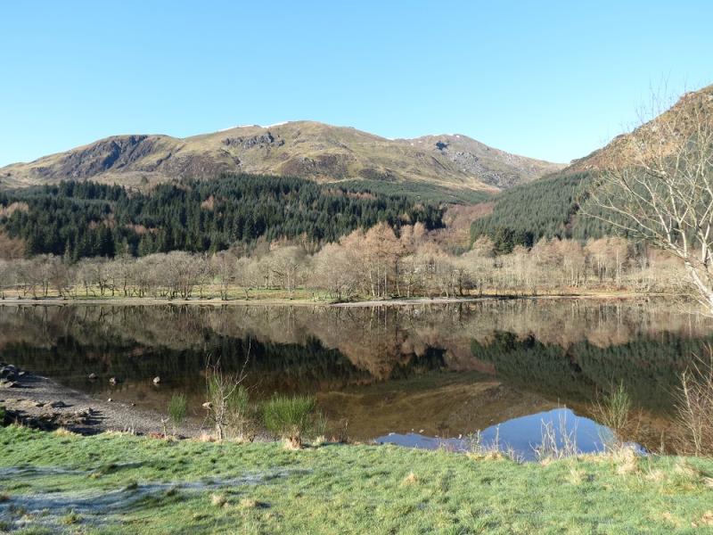
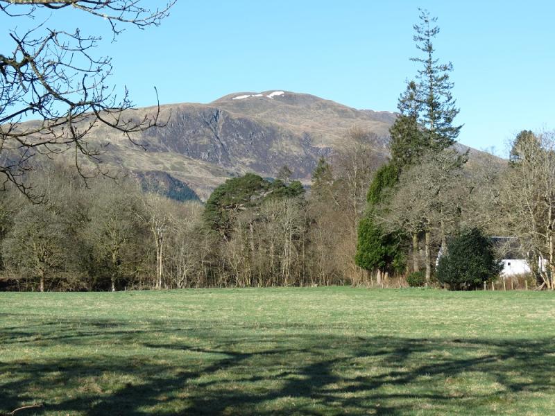
Photos - Hover over photo for caption. Click on to enlarge. Click on again to reduce.