Get Lost Mountaineering
You are here: Scotland » 04 Loch Leven and Loch Linnhe to Loch Ericht » Ben Nevis to Loch Trieg
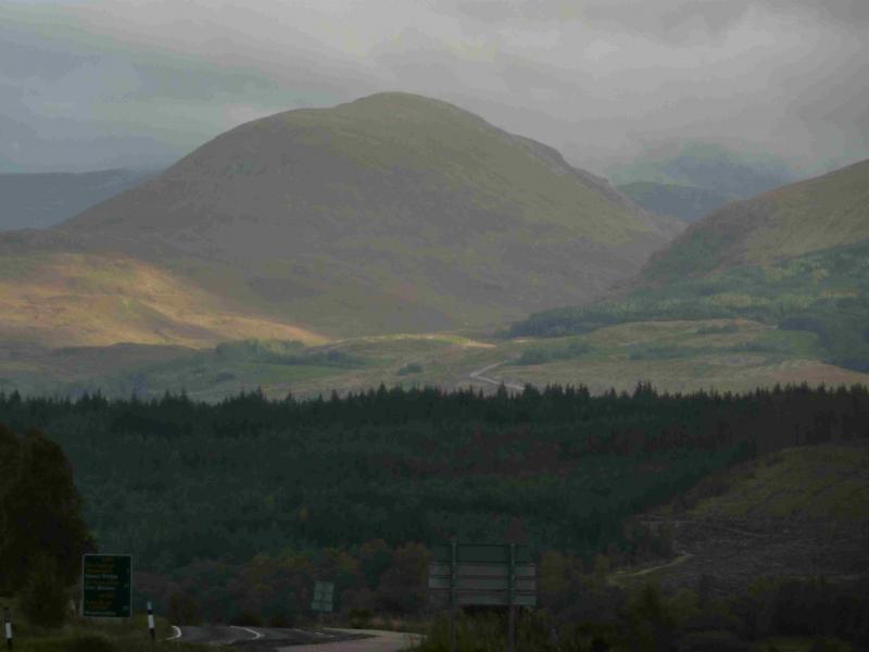
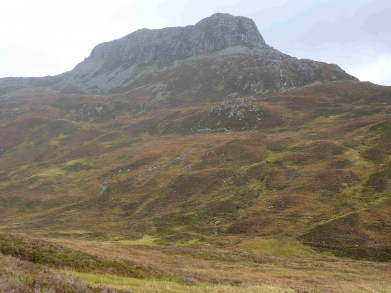
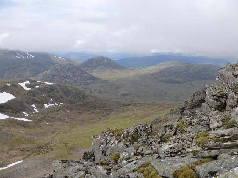
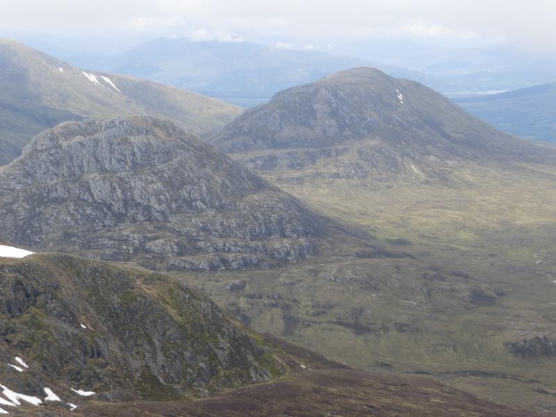
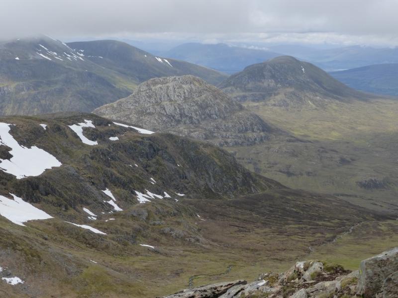
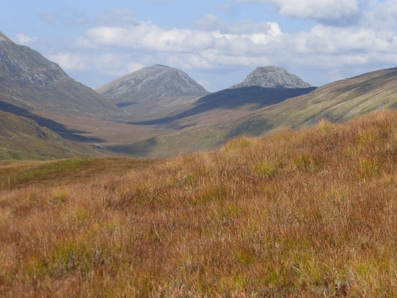
Cruach Innse & Sgurr Innse
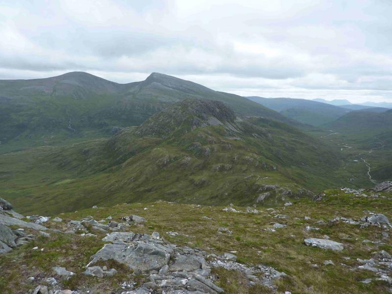
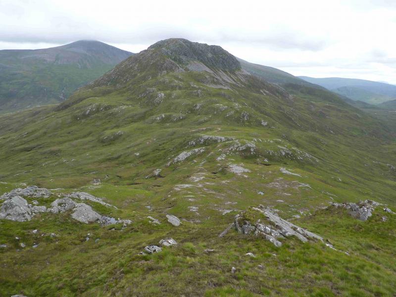
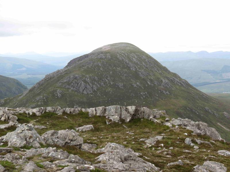
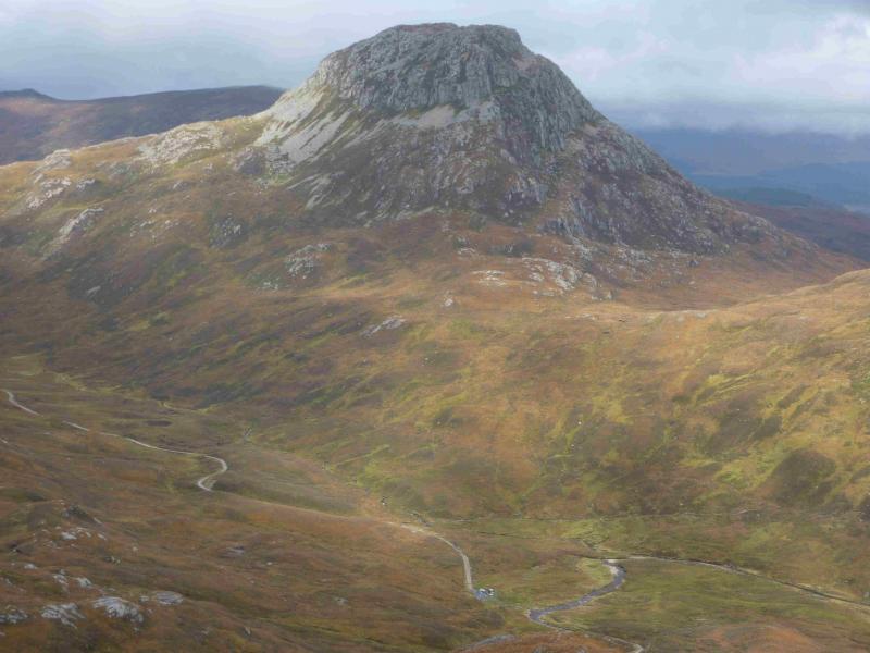
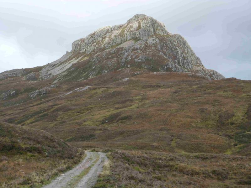
Cruach Innse & Sgurr Innse from the Lairig Leacach above Corriechoille
Start/Finish
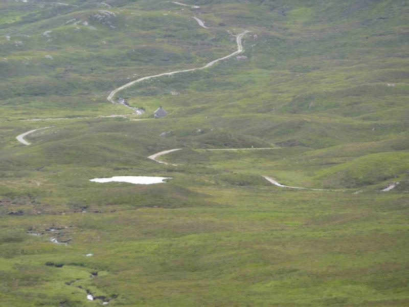
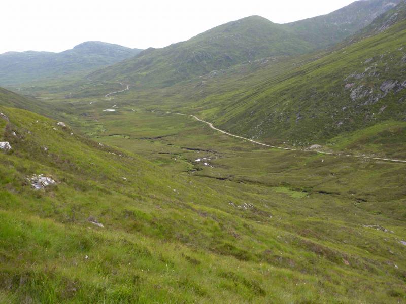
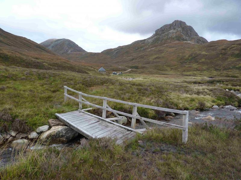
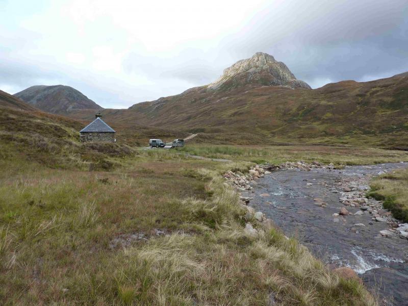
From Spean Bridge, take the minor road, signposted Station and Corriechoille which starts just to the S of the Spean Bridge Hotel. Follow the road until Corriechoille Lodge is signposted uphill on a gravel track. Go past the lodge and continue up the very rough gravel track for nearly 2 miles to a parking spot just before a locked gate. The gravel track is private but has been used by walkers for years without restriction. There is one unlocked gate to pass through on the track and a signpost for walkers is also passed where walkers park if they are aiming for the Grey Corries.
Distance/Time
12 km About 6 hours
Peaks
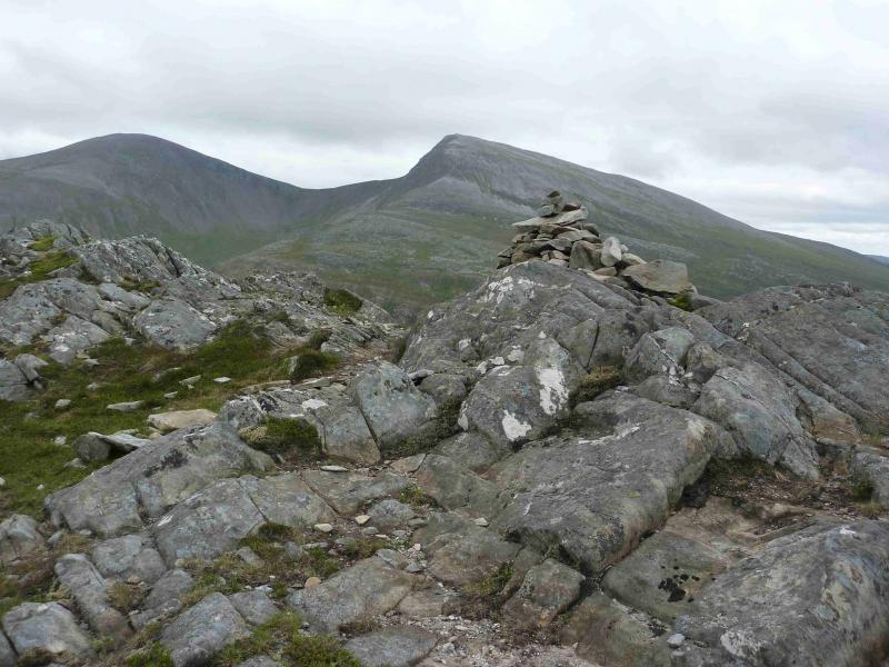
Cruach Innse, 857 m, NN 279 763.
Sgurr Innse, 809 m, NN 290 748. OS Sheet 41.
Introduction
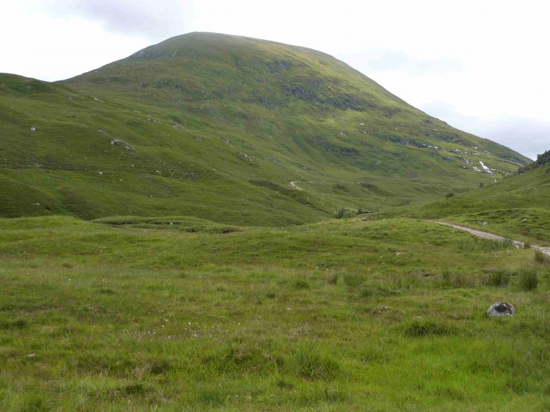
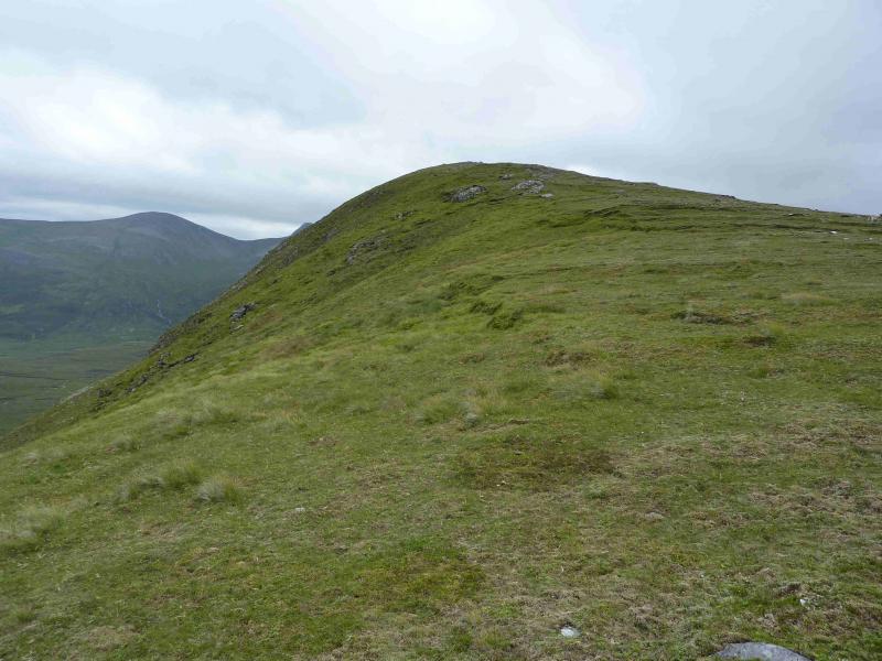
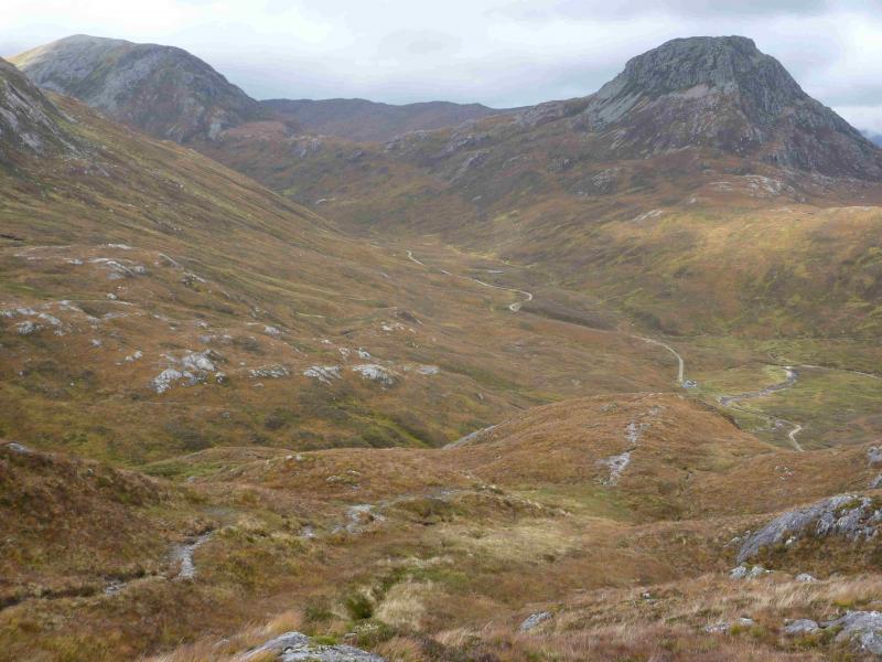
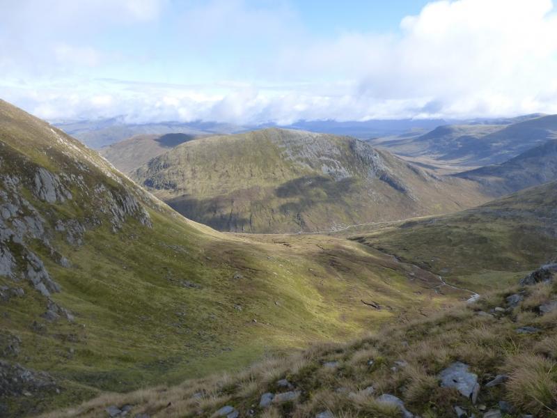
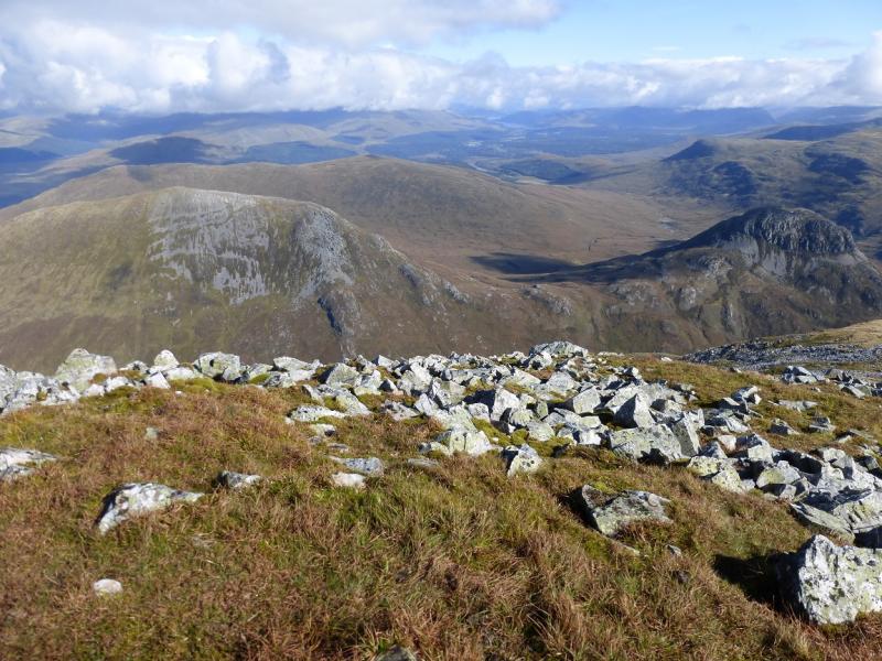
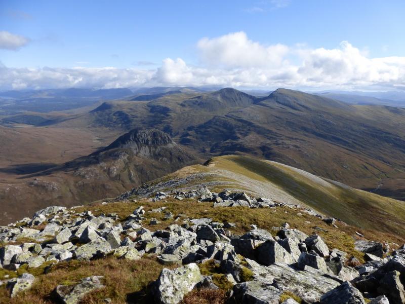
These fine peaks sit between the Grey Corries and the Easains. The N side of Cruach Innse is mainly grassy but its S ridge and Sgurr Innse are decidedly rocky and care is needed as there are some big crags. The views from the summits are excellent, especially to the eastern end of the Grey Corries range and to the Easains. On a clear day, one can see to Creag Meagaidh, Sgurr Eilde Mor and Buachaille Etive Mor.
Route
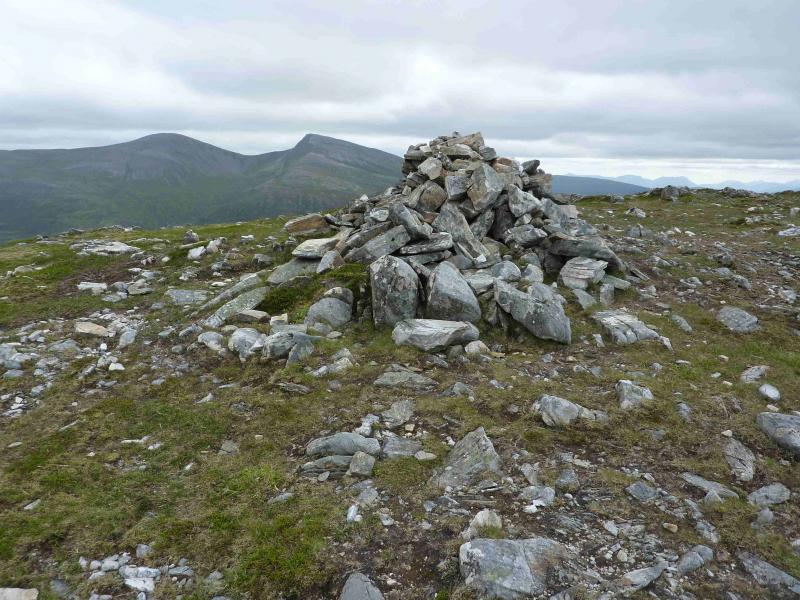
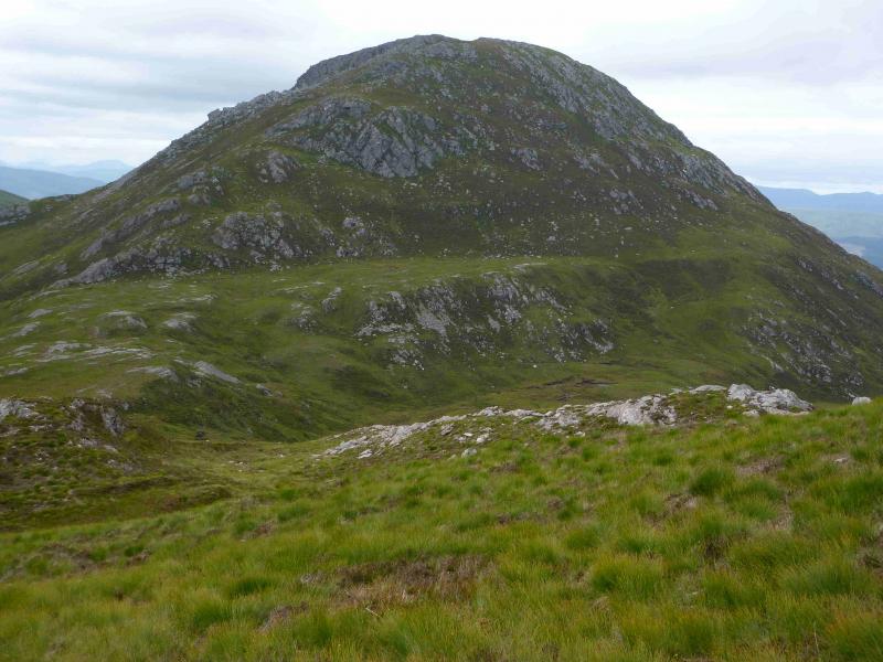
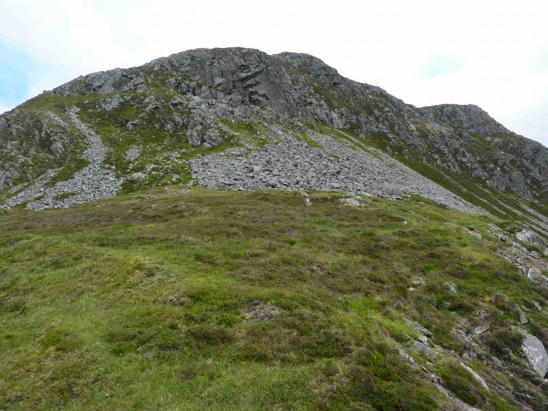
(1) Continue up the track past the forest then over the bridge across the Allt Leachdach. Almost immediately, leave the track and ascend E to reach a low grassy crest. Turn SSE and ascend steep grassy slopes before the angle eases and soon reach the medium cairn which marks the summit of Cruach Innse, 857 m.
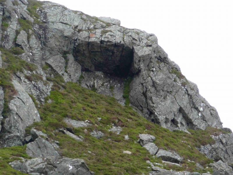
(2) Descend SW across the stony plateau. There is a path, which should be located, on the western side. This path will guide one down through the crags to the bealach at 589 m. Cross the bealach. There are two obvious sections of scree. The path is faint here but the best line is up then trend left above the top of the left section of scree. By then, paths will have appeared but resist any temptations to go right and take the path furthest left which goes around to the E side of Sgurr Innse before cutting back and climbing up. Just before the top, the path merges with another path. Note this junction as it is not obvious in descent. Continue on the path and soon reach the medium cairn which marks the summit of Sgurr Innse, 809 m.
(3) Return by the route of ascent to the bealach. Following any other path can lead to a steeper and rockier descent. One such path goes down a very steep gully. Once at the bealach, or just before, walk almost directly W back to the track.
Notes
(a) This walk took place on 24th August, 1999, and 25th July, 2012.
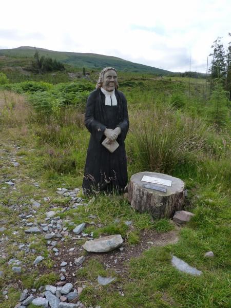
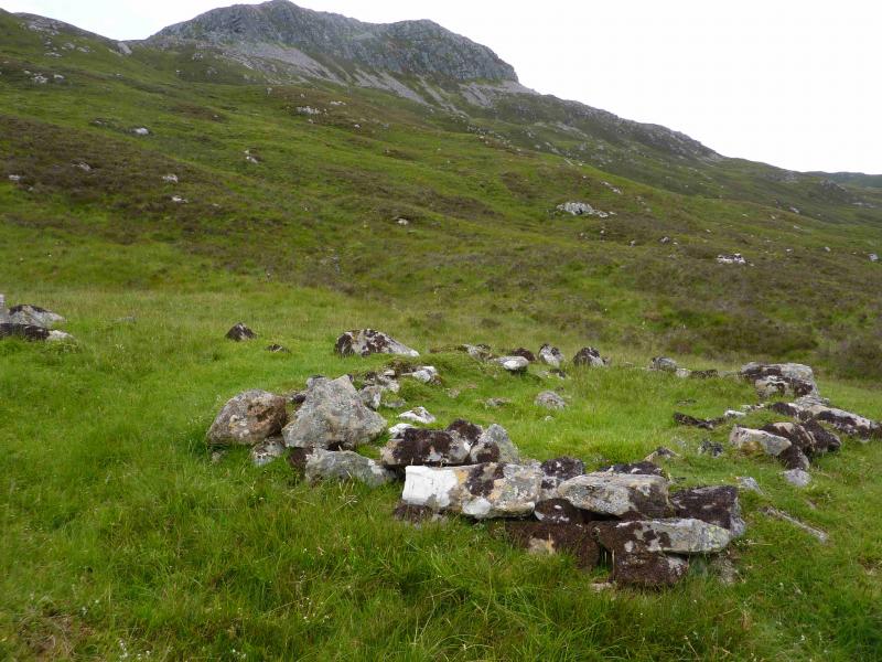
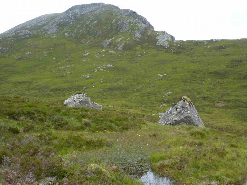
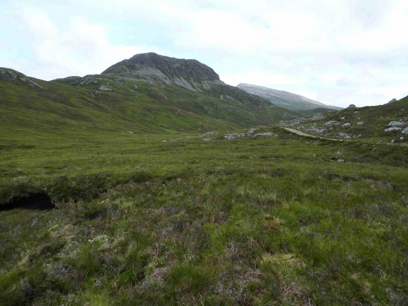
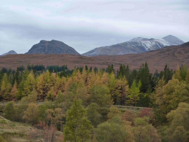
Photos - Hover over photo for caption. Click on to enlarge. Click on again to reduce.