Get Lost Mountaineering
You are here: England » Lake District » 7 Western Fells
Burnbank Fell, Carling Knott, Blake Fell & Gavel Fell from Maggies Bridge Start/Finish
Burnbank Fell, Carling Knott, Blake Fell & Gavel Fell from Maggies Bridge
Start/Finish
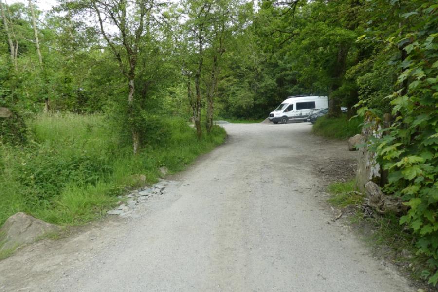
Maggies Bridge (free) National Trust car park at NY 134 210. It is a small car park so will soon fill up. It is down a very narrow road from the Loweswater road where any oncoming traffic could mean a considerable reversing back. If coming from the north (Lorton Vale), go past the two turnings for the Kirkstile Inn then take the next left. In 2024, there was a small handwritten sign for Maggies Bridge. If coming from the north west, go past Loweswater (lake) then take the next right.
Distance/Time
12 km About 4 – 5 hours
Peaks
Burnbank Fell, 475 m, NY 110 209.
Carling Knott, 544 m, NY 117 203.
Blake Fell, 573 m, NY 110 197.
Gavel Fell, 526 m, NY 117 185. OL4 North Western Lakes
Introduction
Some will see this as quite a rough round and it is very easy to find oneself in wet and boggy areas so there will be an emphasis on where not to go as where to actually go. Note that Carling Knott does not feature in any Wainwright list but is is only a short detour to visit it.
Route
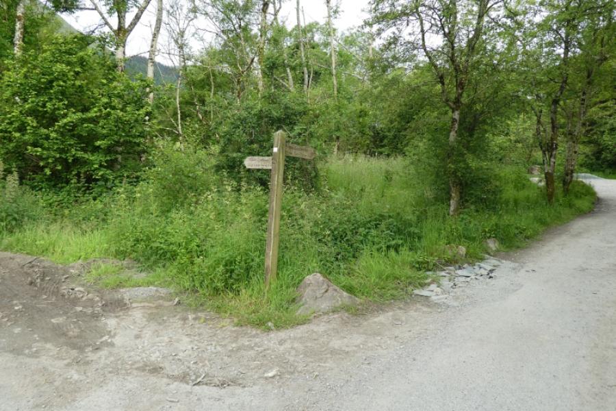
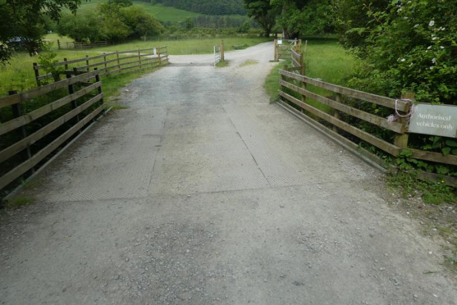
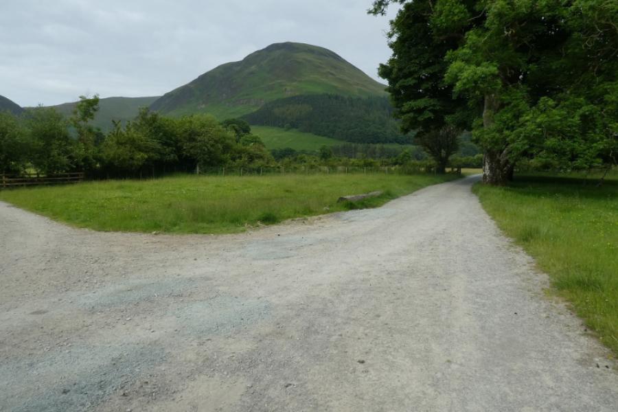
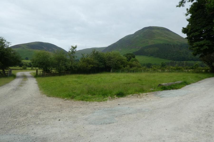
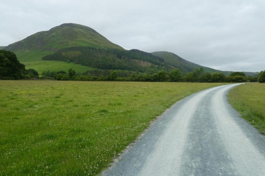
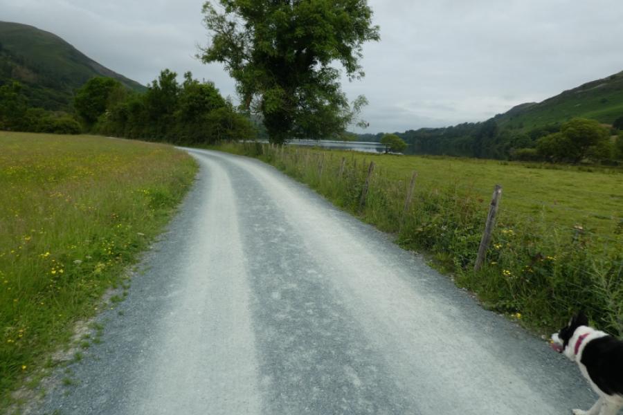
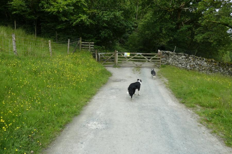
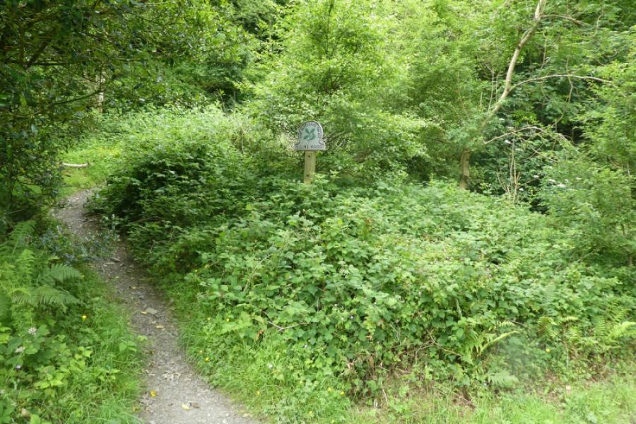
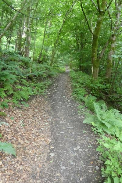
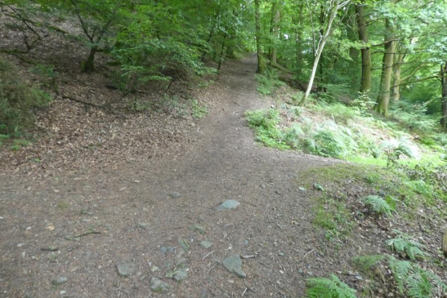
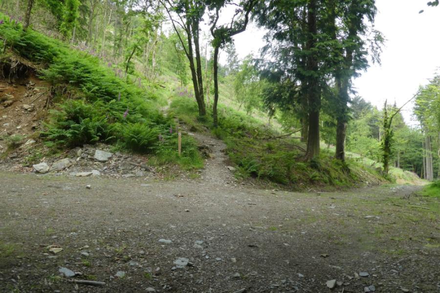
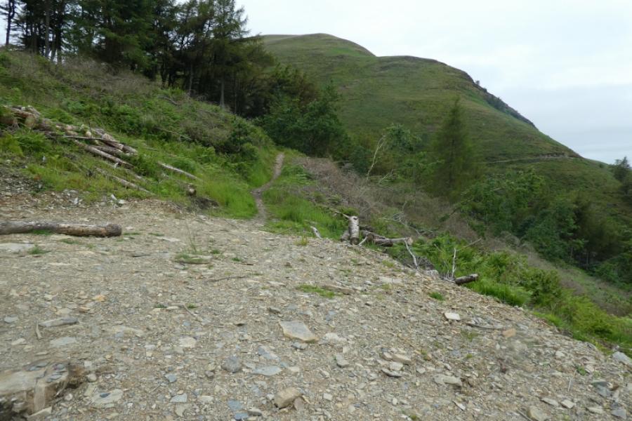
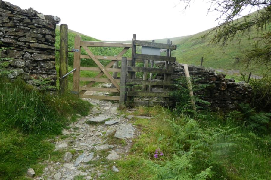
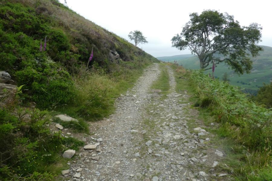
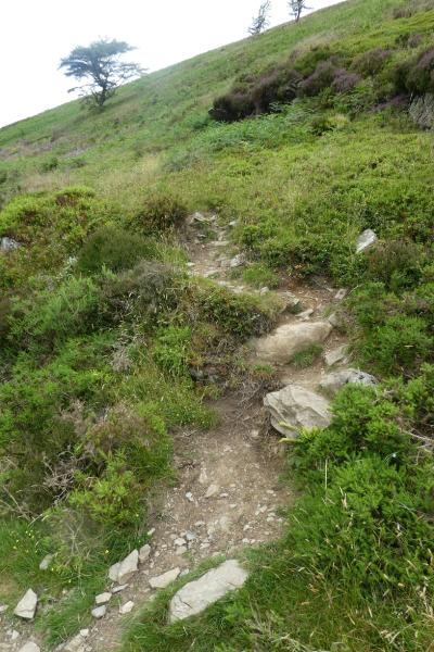
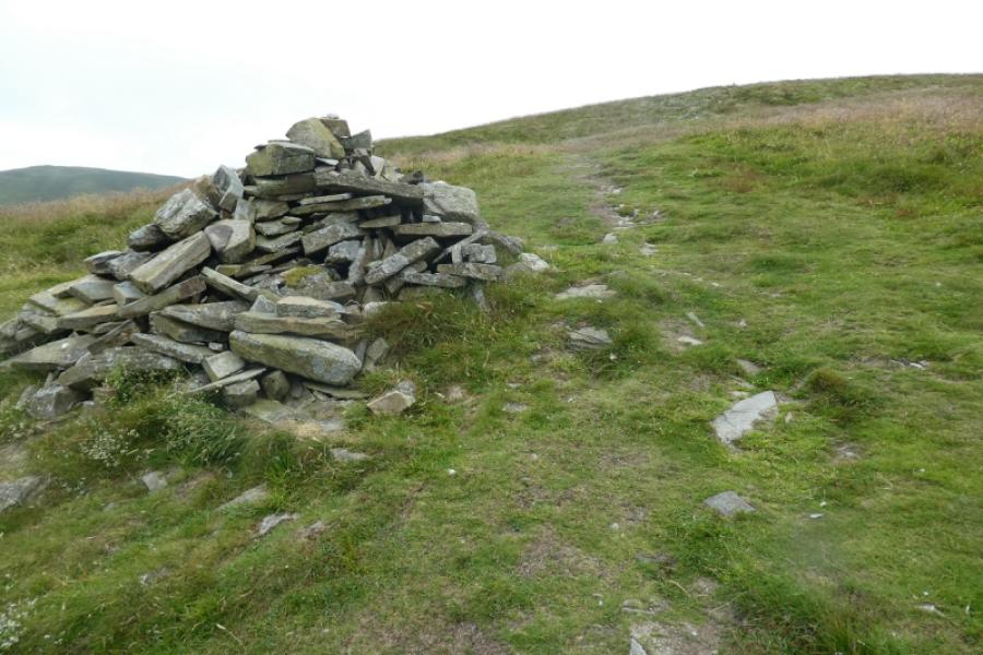
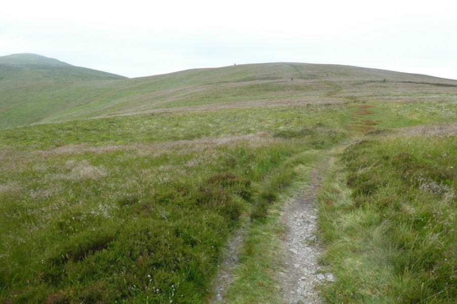
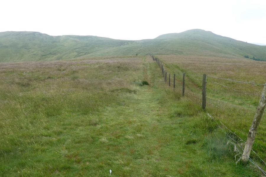
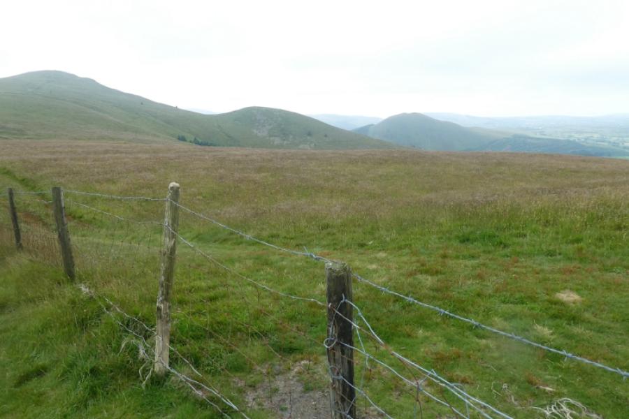
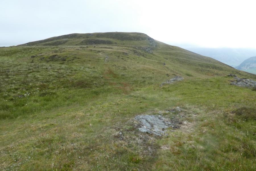
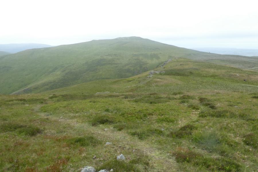
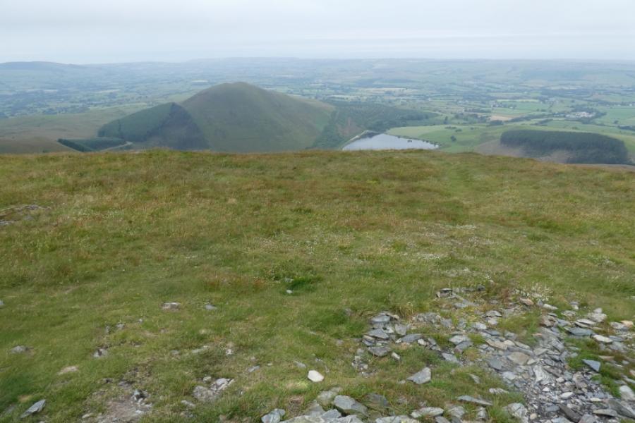
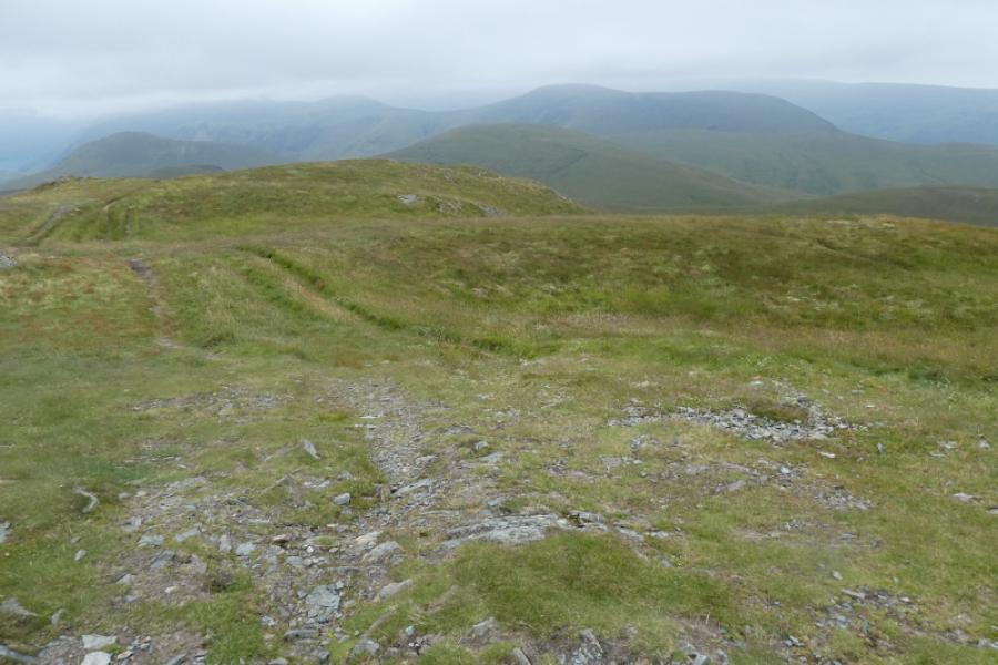
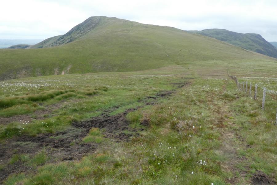
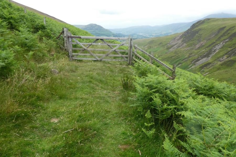
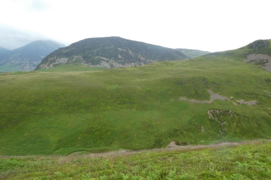
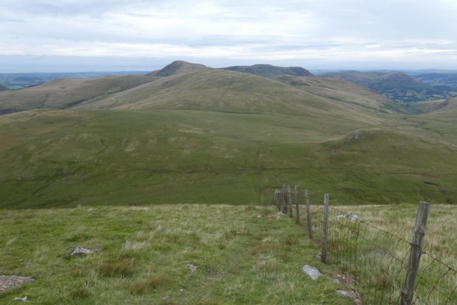
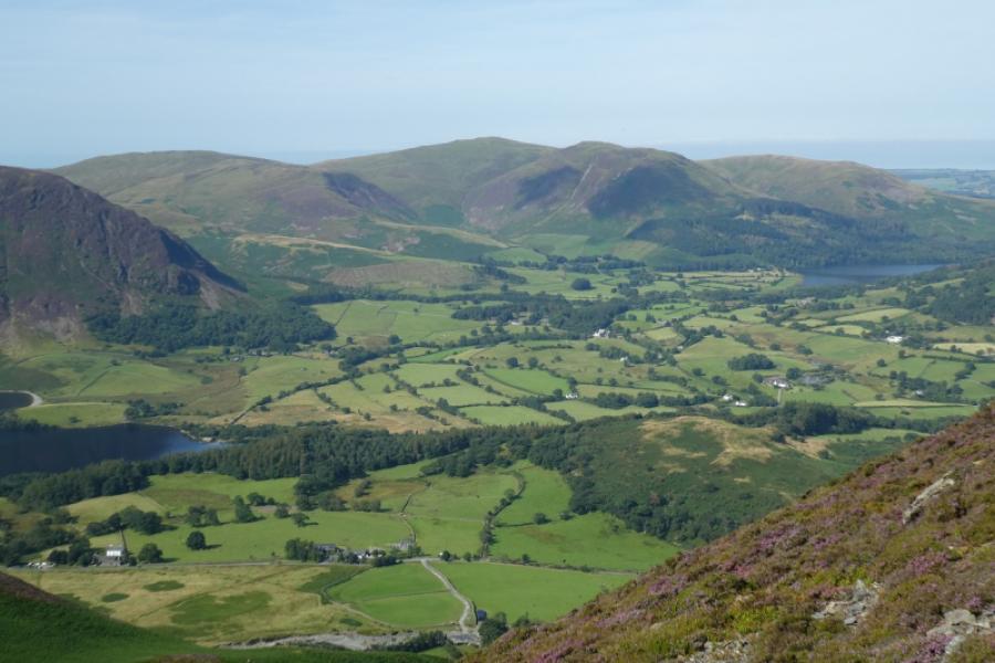
(1) Walk out of the far end of the car park, crossing Maggies Bridge (not very noticeable). When the track splits, continue ahead which leads towards Loweswater and past Watergate Farm. Go through the gate after the farm, where the forestry starts, then look for a path, signed Holme Wood, almost immediately after. The path goes up, steeply in places, through Holme Wood, crossing several tracks on the way but the path is always clear and easy to follow although a bit rough in places. The overall direction of travel is almost due west. Emerge from the forest at a gate in a wall and follow the track to the simple bridge over Holme Beck. Continue on the track but about 10 metres before a tree on the right, a narrow stony path goes off left as a reverse fork. Follow this almost to an old fence where the path turns sharply north. The easy route, but much longer, is to follow the path for some distance around the north end of Burnbank Fell to meet a path ascending on the south west side of a wall. This distinct path leads up to a cairn then continues south west, up easy ground, to a fence corner. A small cairn, across the fence, marks the summit of Burnbank Fell, 475 m. Any attempt to cut a corner to reach the ascent path is going to almost certainly mean ascending steep, pathless, probably rocky ground. A shorter alternative from the old fence seems to be to either follow the fence up onto the crest or continue, making a rising traverse to the crest. Neither of these have been checked out but seem reasonable routes.
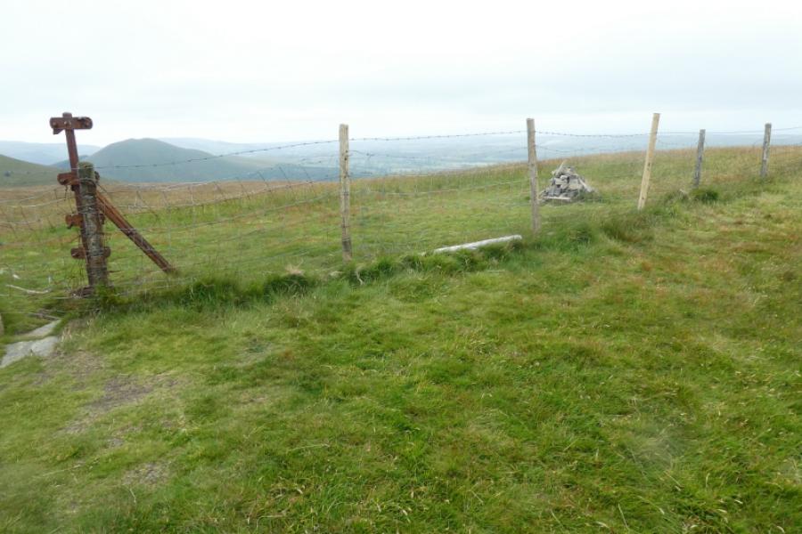
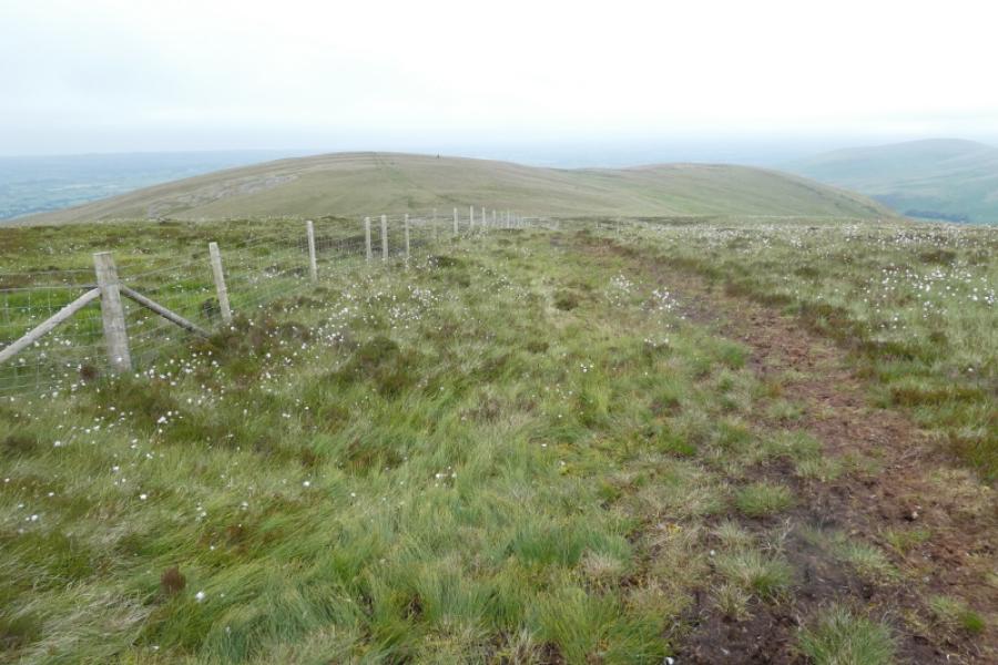
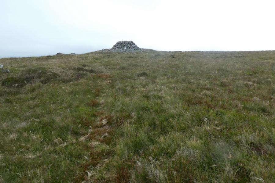
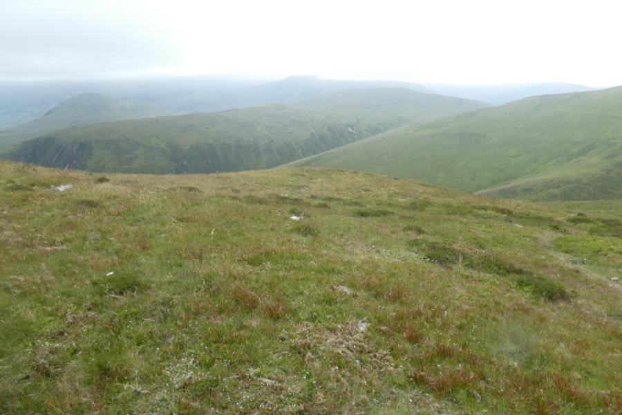
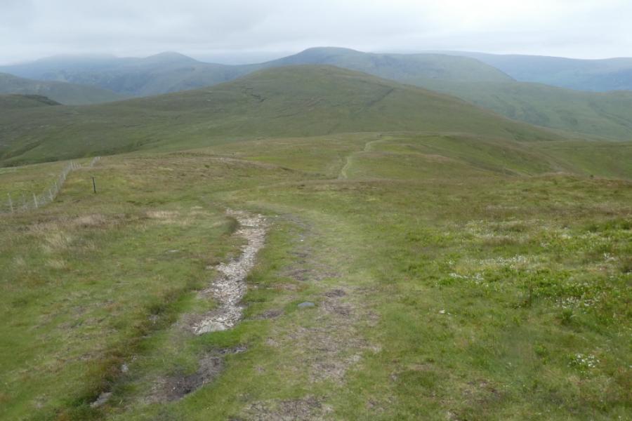
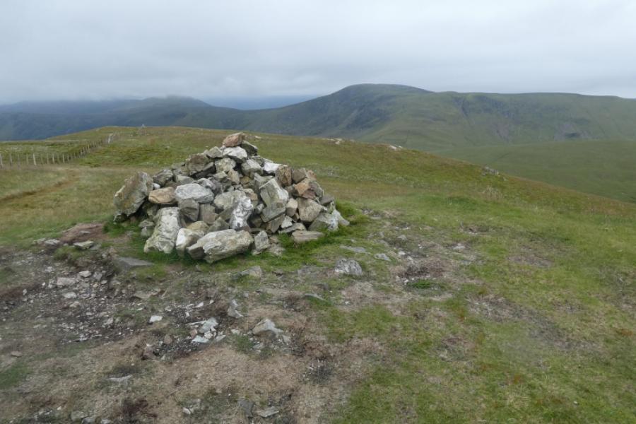
(2) From the summit, follow the fence south, until a faint path is seen going off left. This is just before the main path starts noticeably ascending Blake Fell. Follow the faint path, wet in places, to reach the south west ridge of Carling Knott and head north east up it to reach a large shelter cairn which is the summit of Carling Knott, 544 m.
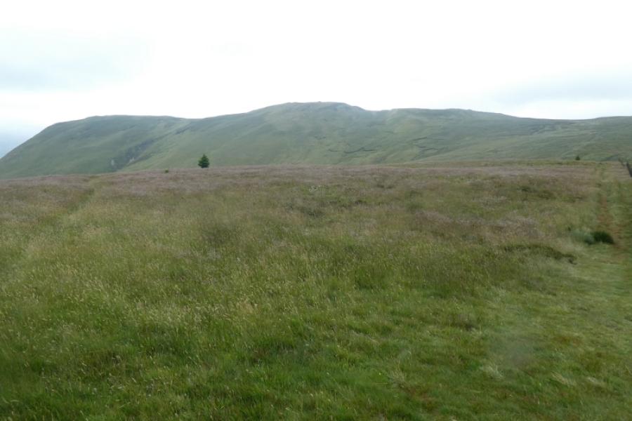
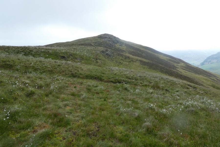
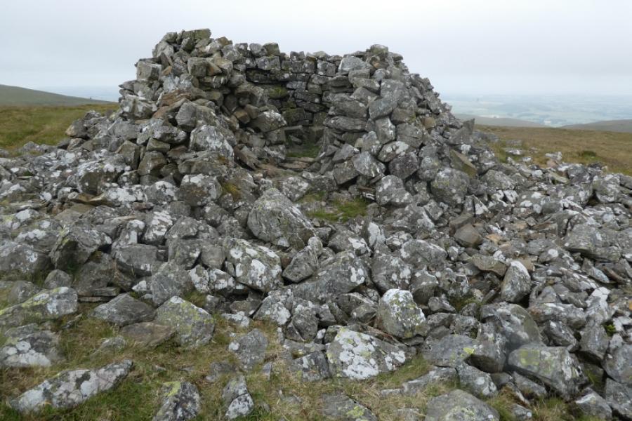
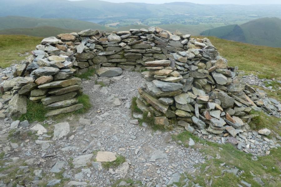
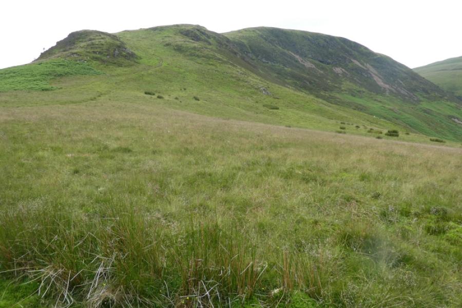
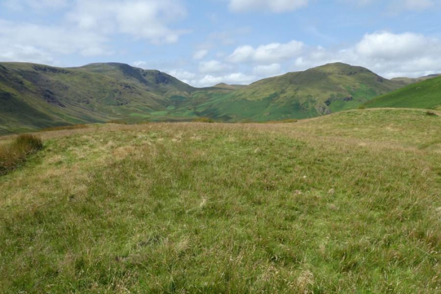
(3) Retrace down the ridge to the col then follow a reasonably obvious path (not the main path ignored earlier) up Blake Fell to reach a large shelter cairn which is the summit of Blake Fell, 573 m.
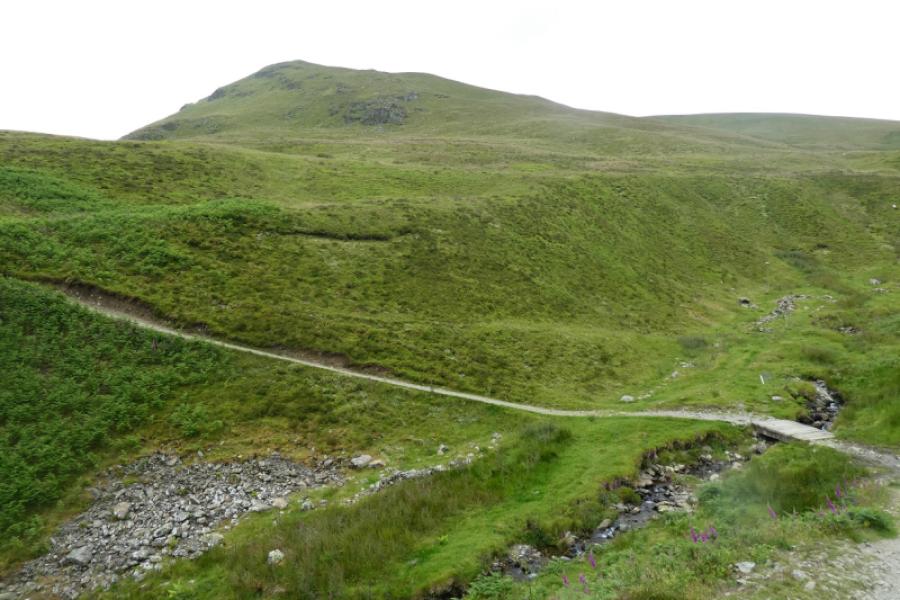
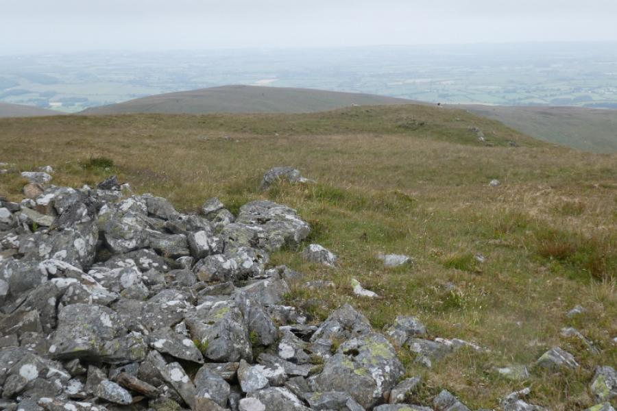
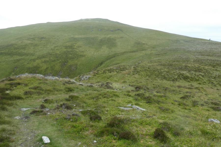
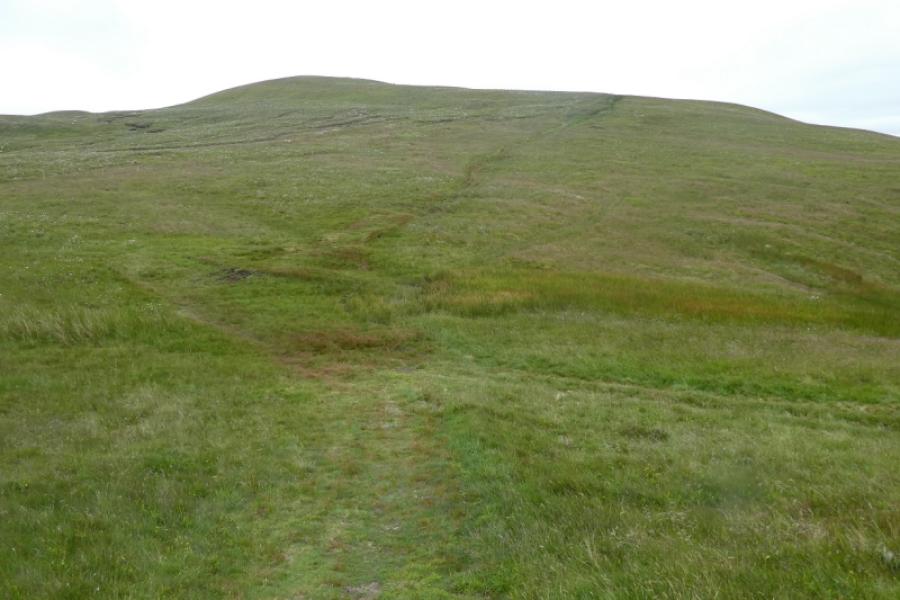
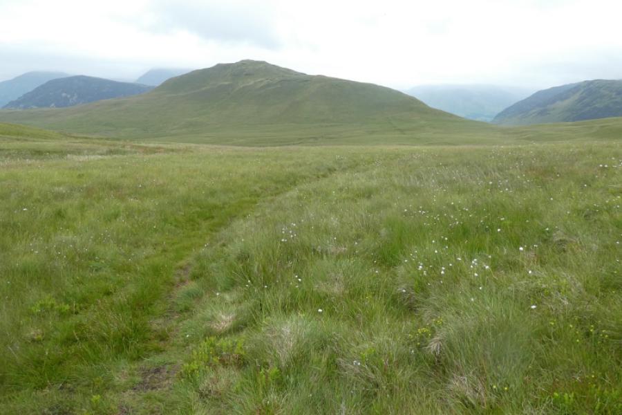
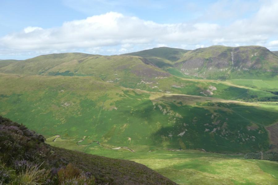
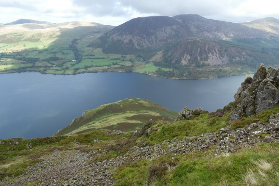
(4) Descend, roughly south south east, soon picking up the fence again, to reach Fothergill Head which is a deep and boggy col below Gavel Fell. Ascend, following a fence, to reach a medium cairn which marks the summit of Gavel Fell, Gavel Fell, 526 m.
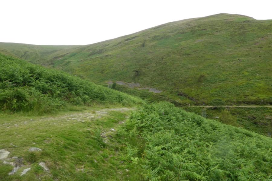
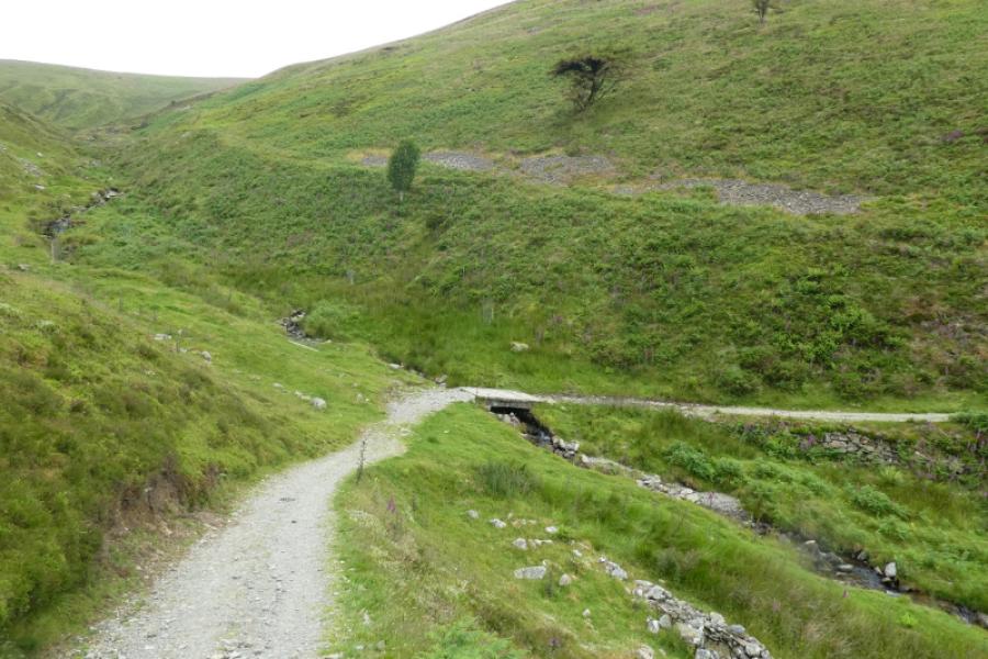
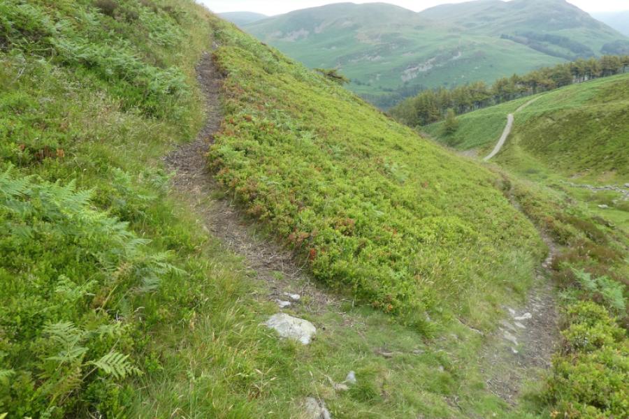
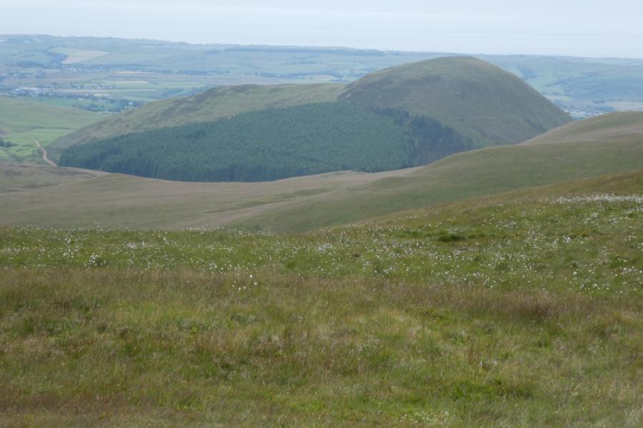
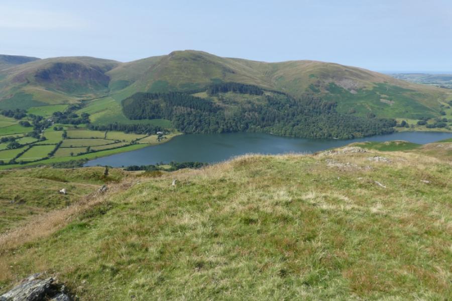
(5) Be careful choosing a descent route off Gavel Fell. The most obvious path goes roughly south down over Whiteoak to reach a very wet path below Great Borne. Do not descend this way unless you are intending to also climb Hen Comb as the ground at the bottom is very soft, very wet and boggy and you could easily add an hour or more to your day in getting from the bottom to the track to High Nook Farm. The best route is to follow the north north east ridge from the summit to its end where a path takes you down onto an obvious track which leads down to High Nook Farm. In mist, you could follow the fence north east from the summit which makes a descending traverse off the ridge to join the same track but higher up. Follow the track down to High Nook Farm then the vehicle track back to the car park
Notes
(a) This walk took place on 25th June, 2024.
Photos - Hover over photo for caption. Click on to enlarge. Click on again to reduce.