Get Lost Mountaineering
You are here: England » North Yorks Moors & Coast
Filey to Scarborough South Bay
Filey to Scarborough South Bay (updated 8/9/25)
Start/Finish
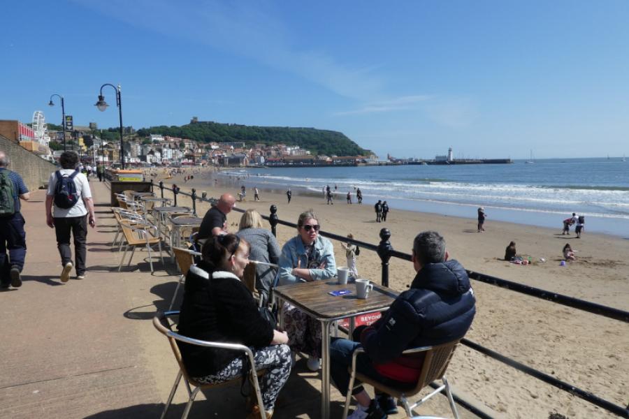
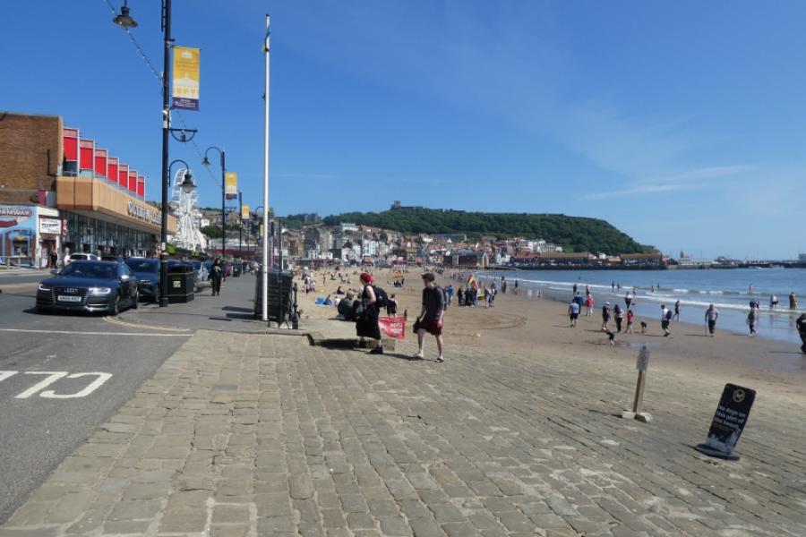
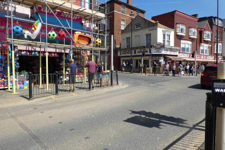
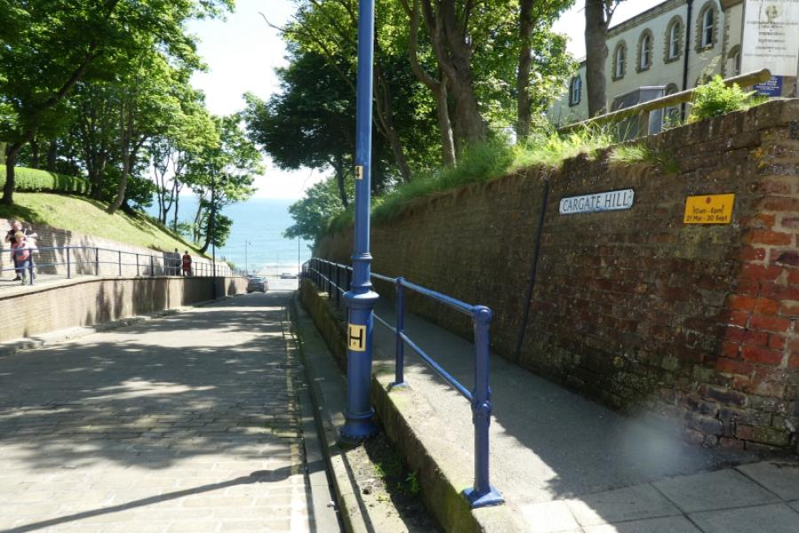
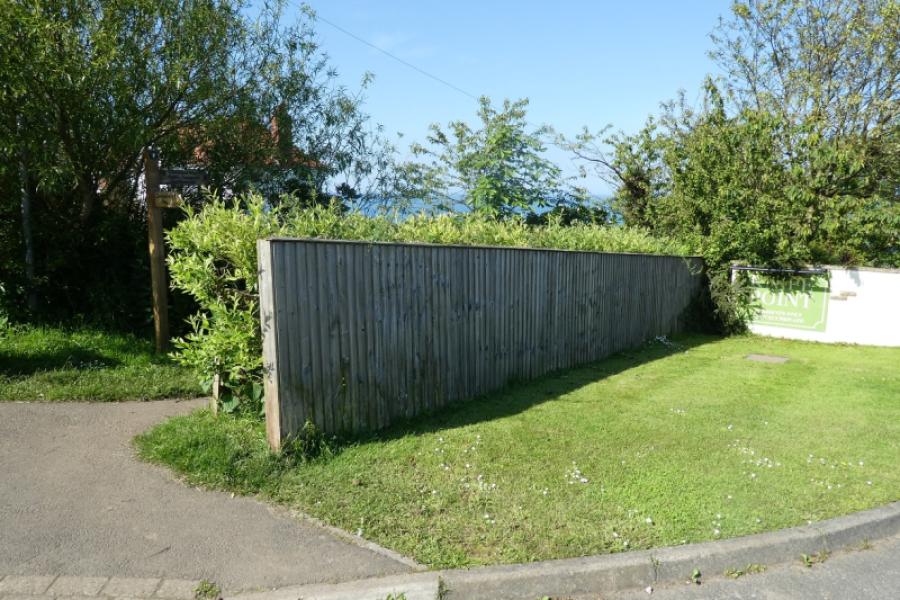
For those without two cars this is probably the best option. ScarboroughSouth Bay Underground car park, YO11 2HD, which is on the seafront but easily missed as it is on a roundabout. Expensive, £8.40 per day in 2024, but ideal if you want to return to a cool and dry car. From the car park, walk along the seafront to the West Pier area (this is where another route continues to Ravenscar). At the traffic lights, turn left into Eastborough Street and walk uphill away from the sea. Stay on the same road to eventually reach the railway station, nearly 2 km from the car park. Catch the train or bus (nearby) to Filey. Train fare in 2024 was £2.30 and journey time was 16 minutes which is much quicker than the bus. Alight at Filey station and walk out of the station then turn right onto a road signed for the beach, about 1 km. There are free toilets soon after on the right in front of the bus station. Continue down towards the sea, passing shops, until the seafront is reached.
Distance/Time
15 km (extra 3 km if using train or bus). About 5 hours excluding bus/train travel.
Peaks
No peaks as this is essentially an edge walk but there are several “ups and downs”.
OS Explorer 301,1:25 000, Scarborough, Bridlington & Flamborough Head)
Introduction
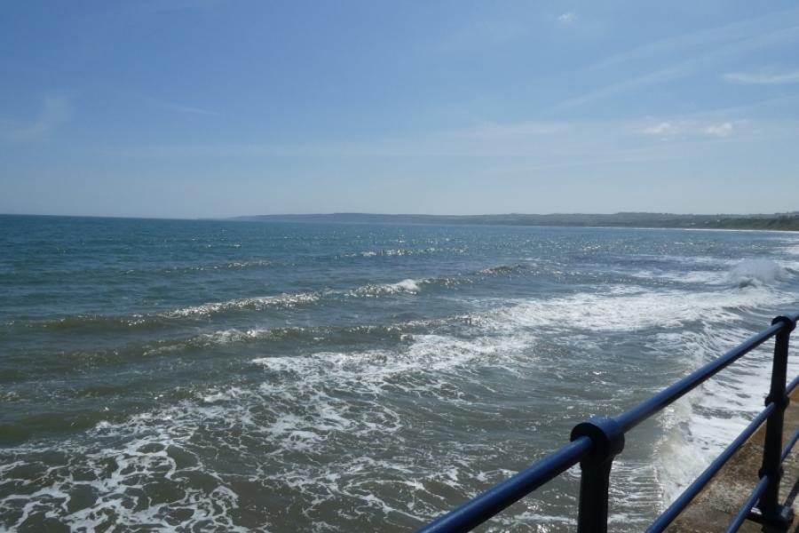
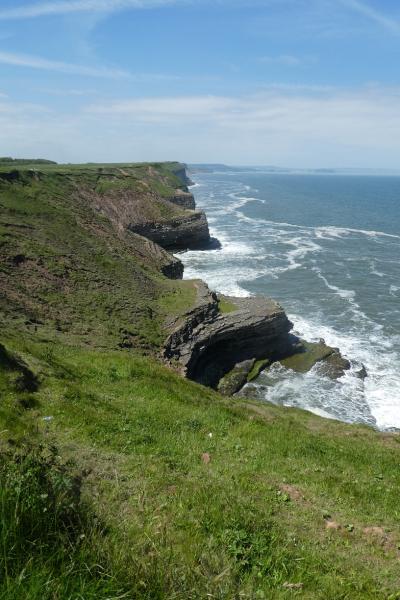
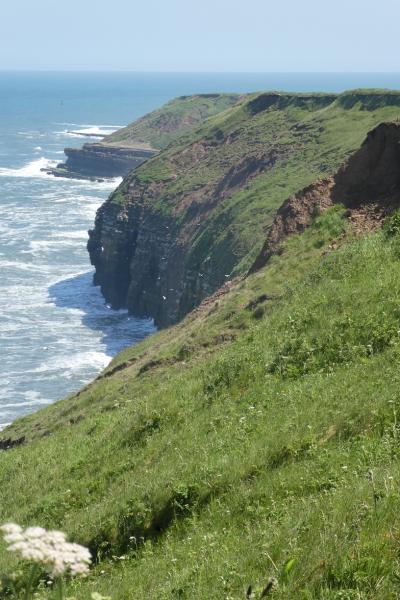
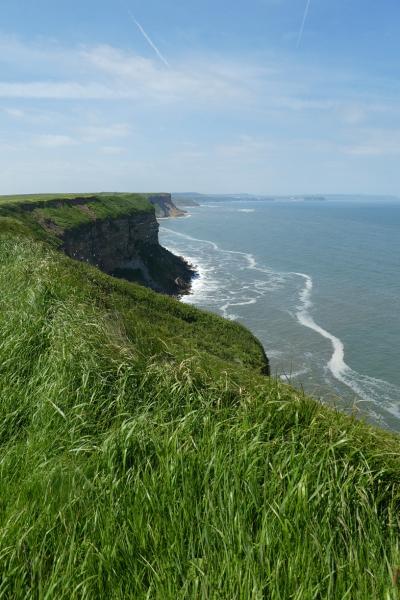
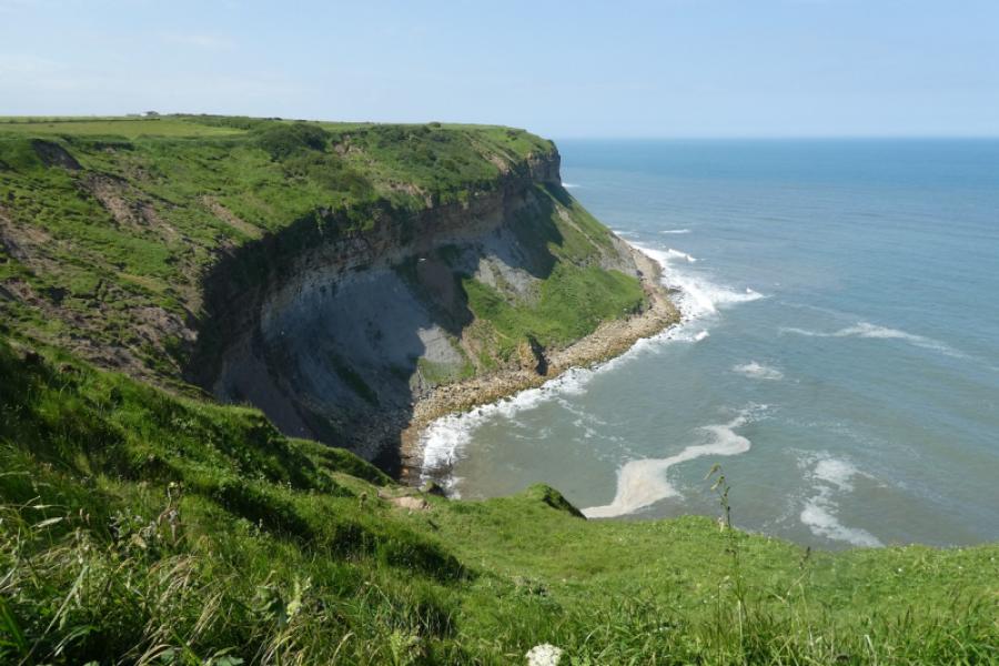
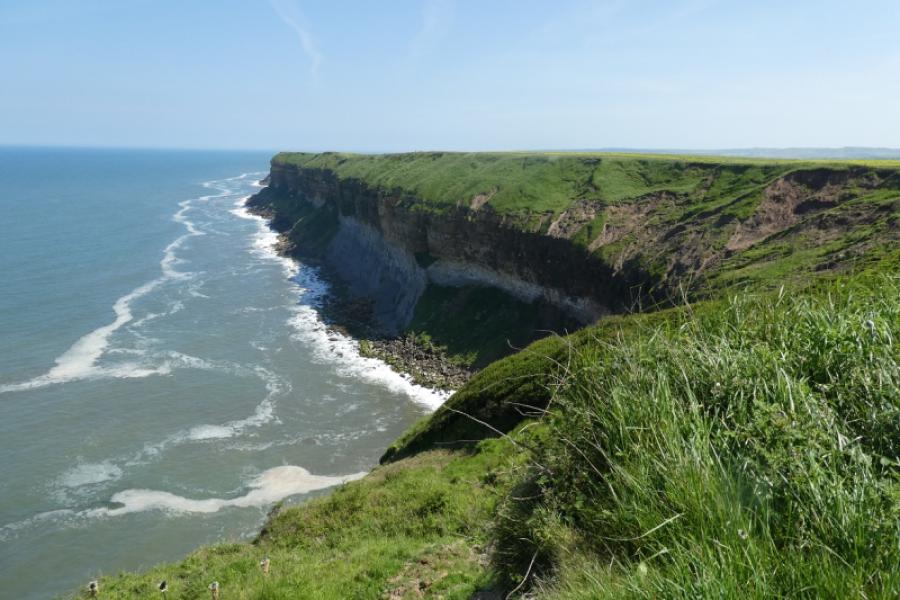
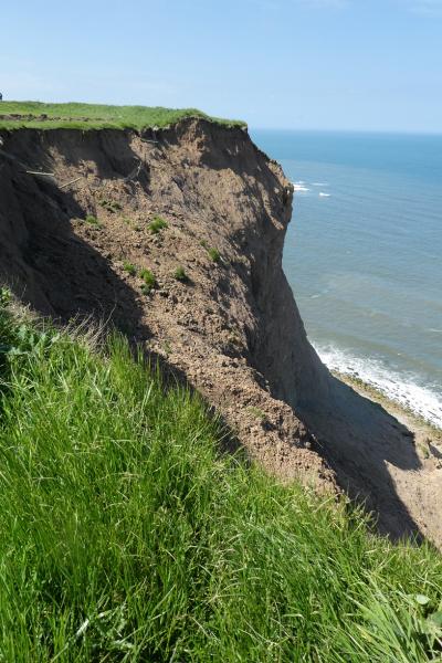
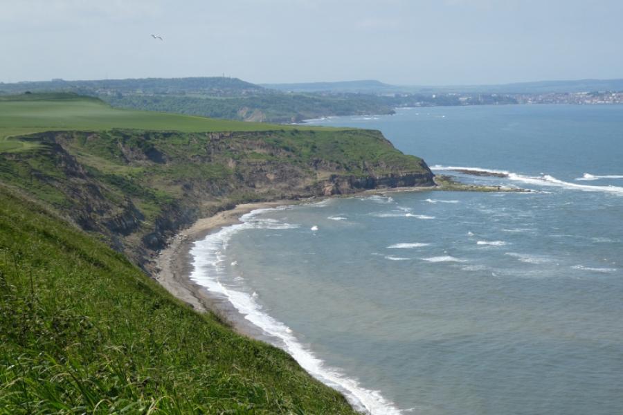
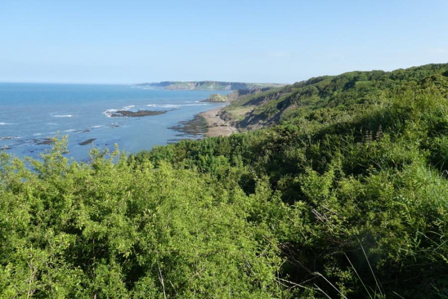
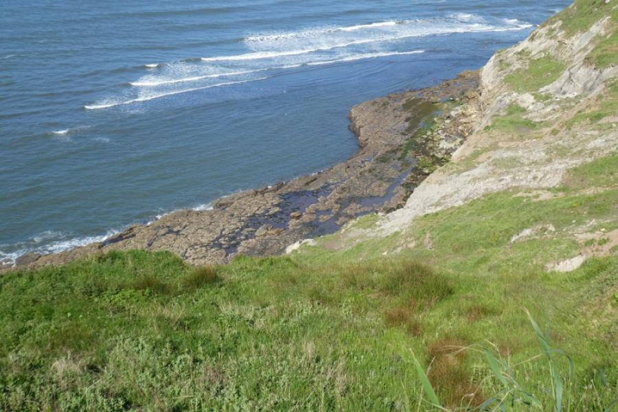
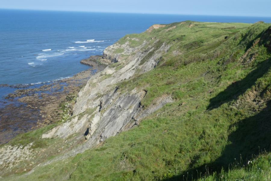
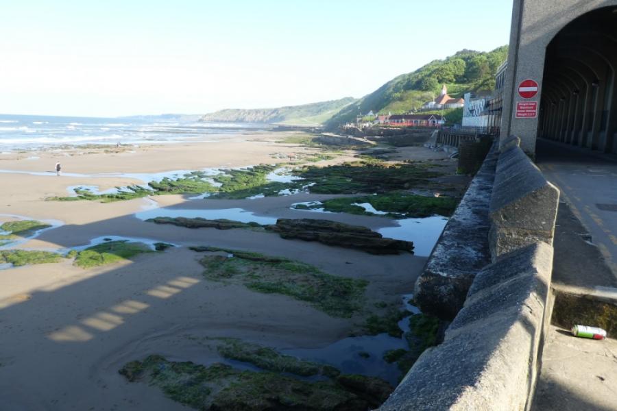
The North Yorkshire Coast is dramatic with many cliffs and rocky beaches. Unfortunately, it is eroding rather quickly as the exposed rock is very soft and crumbly. The Cleveland Way runs along much of the coast and this route uses much of it. Navigation is relatively straightforward once the Cleveland Way is joined (keep the sea on your right!!). Filey Brigg is one of the “gems” of the Yorkshire Coast and should be explored but the end can only be descended at low tide otherwise you may be cut off by the incoming tide. After Cayton Bay, the Cleveland Way follows a strange route where it loses height, goes through dense woodland, climbs many steps and follows a street in Osgodby with not much in the way of views in this section. It might be worth exploring a route along the beach from Cayton Bay but, if there is a route, it would only be possible at low tide.
Route
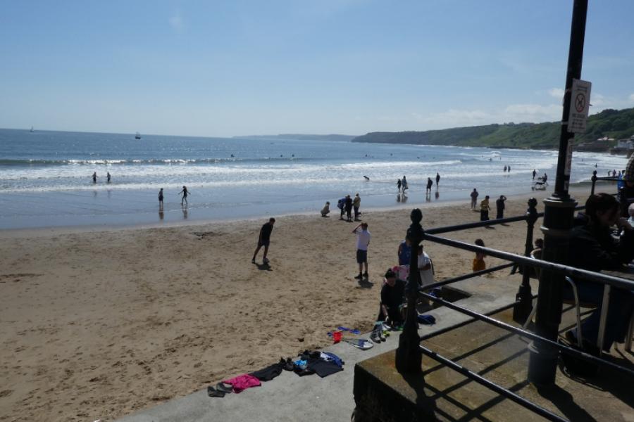
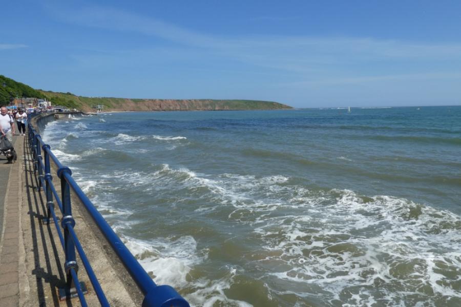
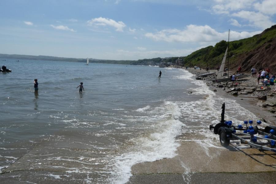
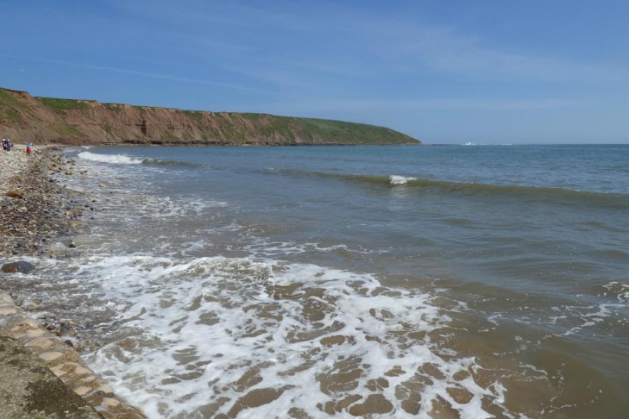
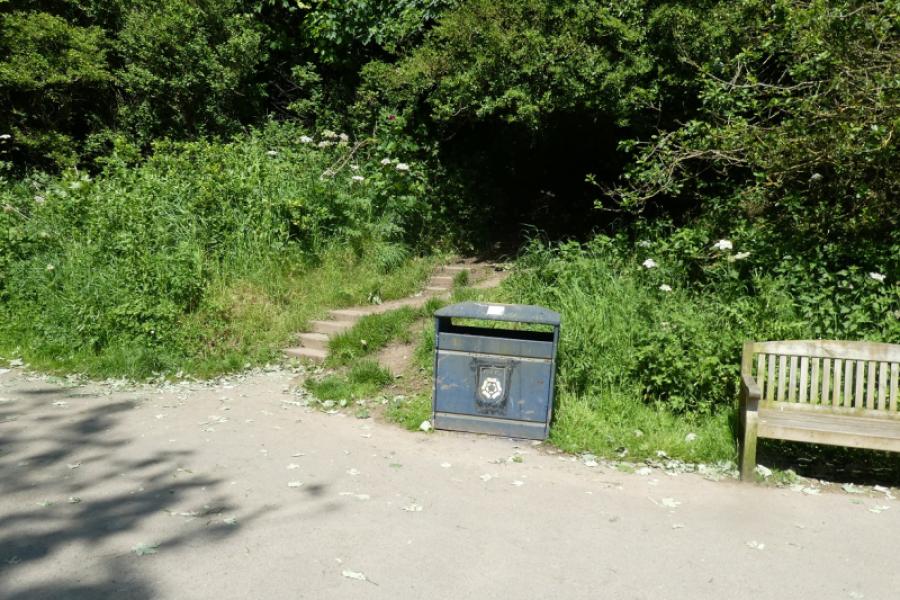
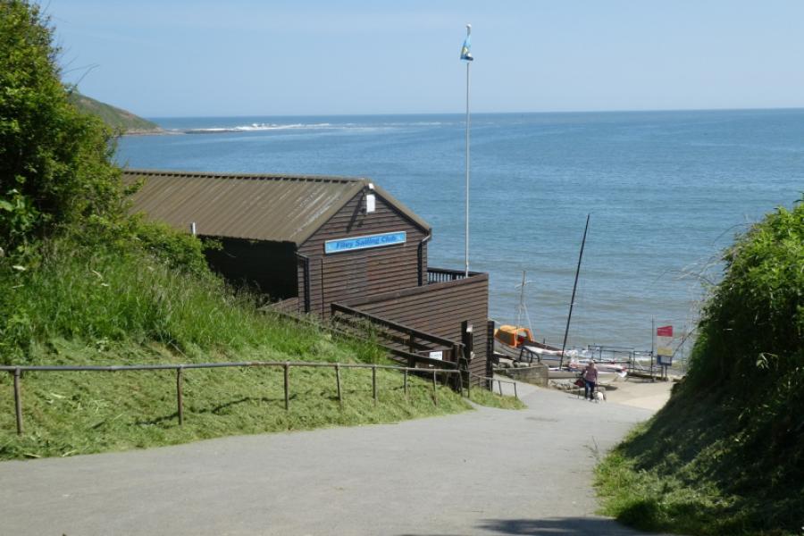
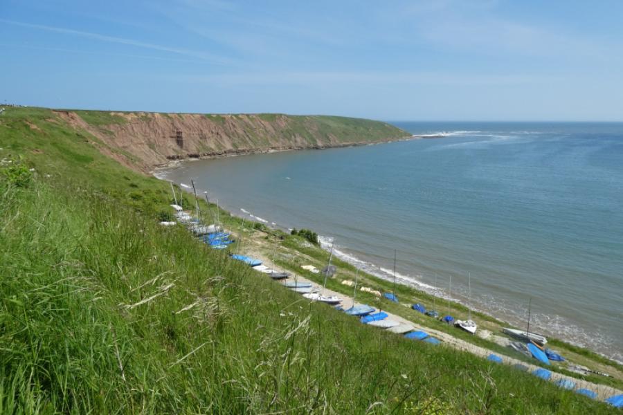
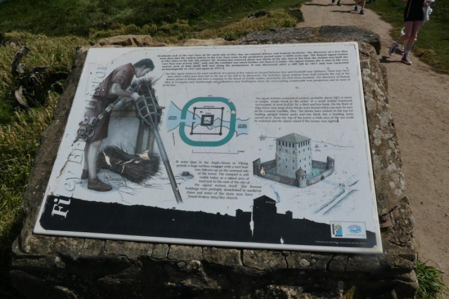
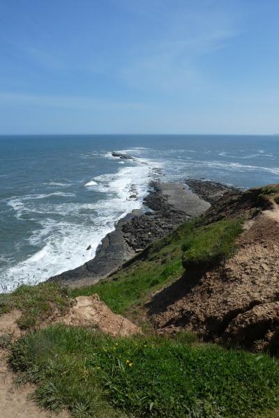
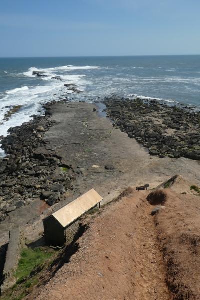
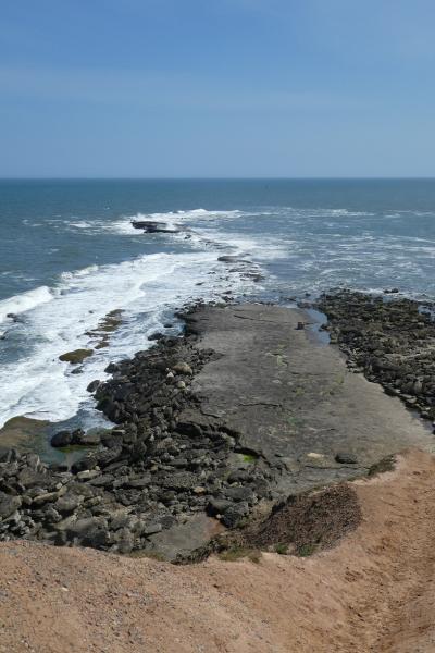
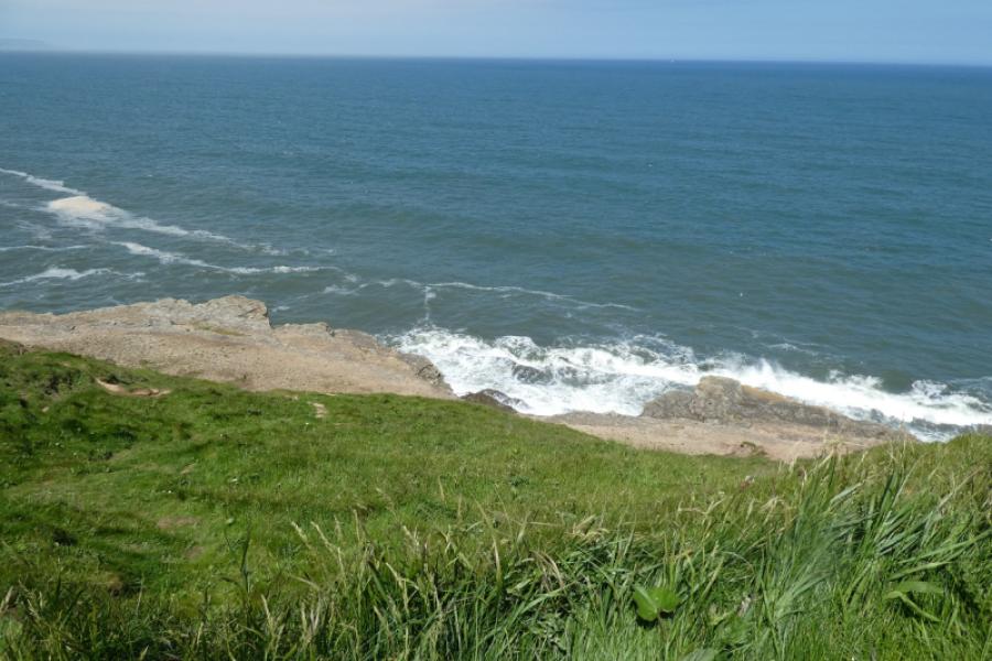
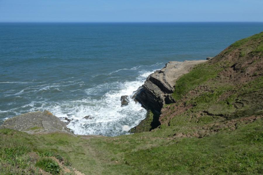
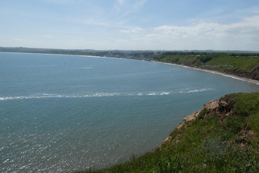
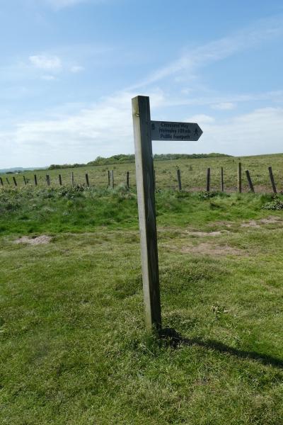
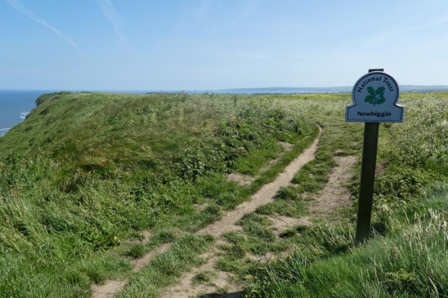
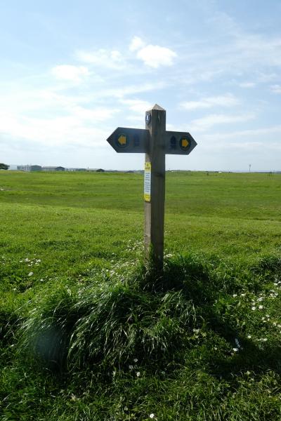
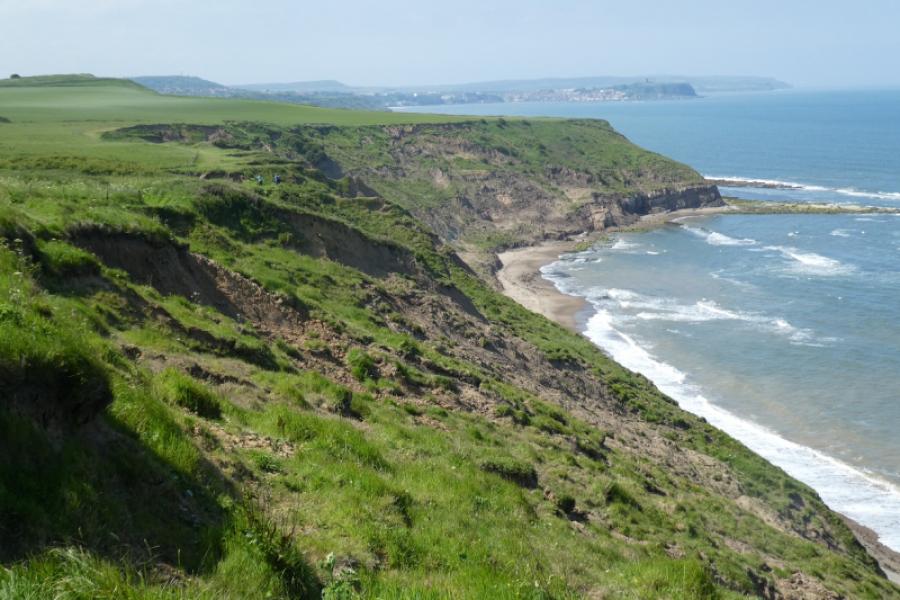
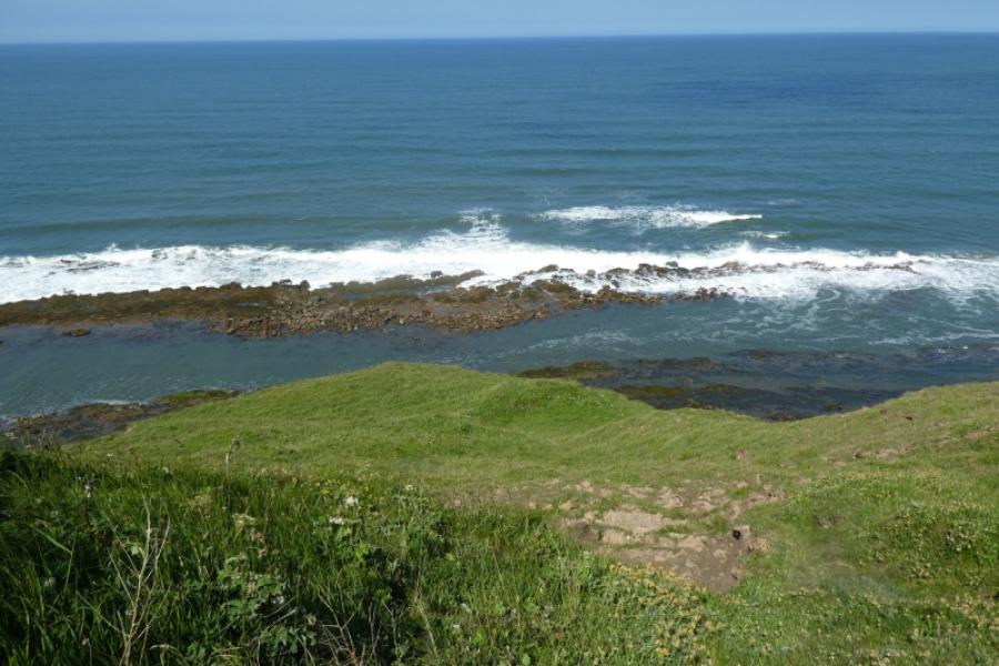
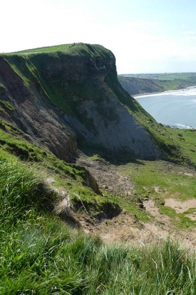
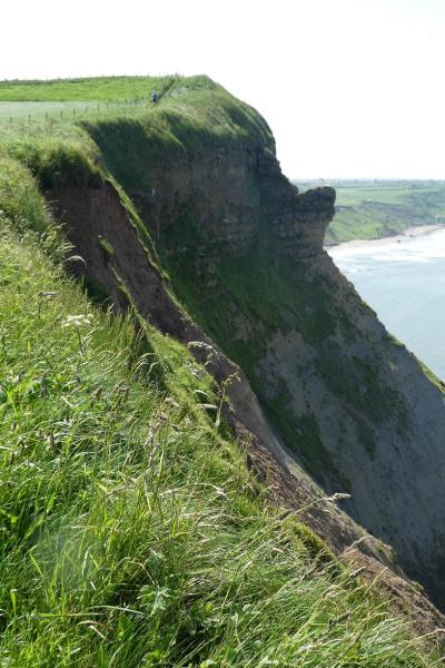
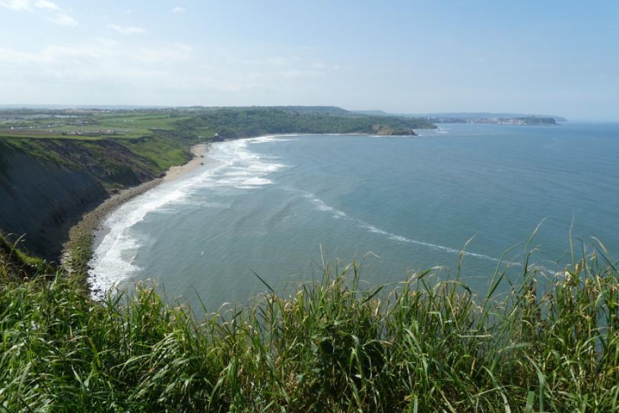
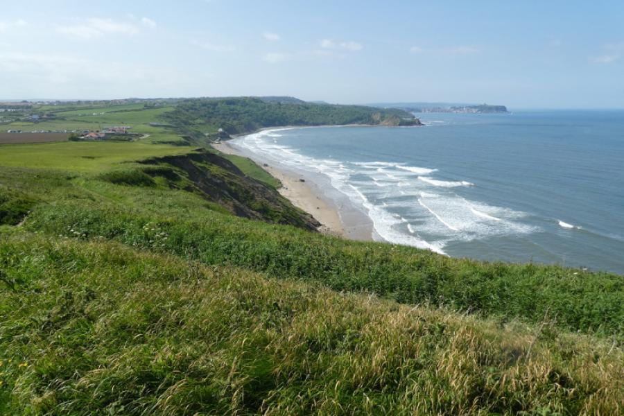
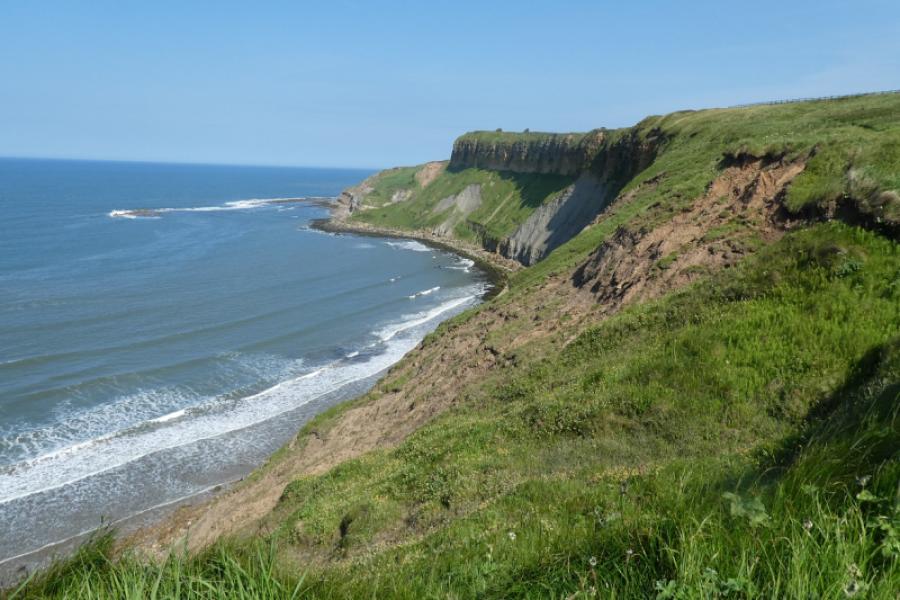
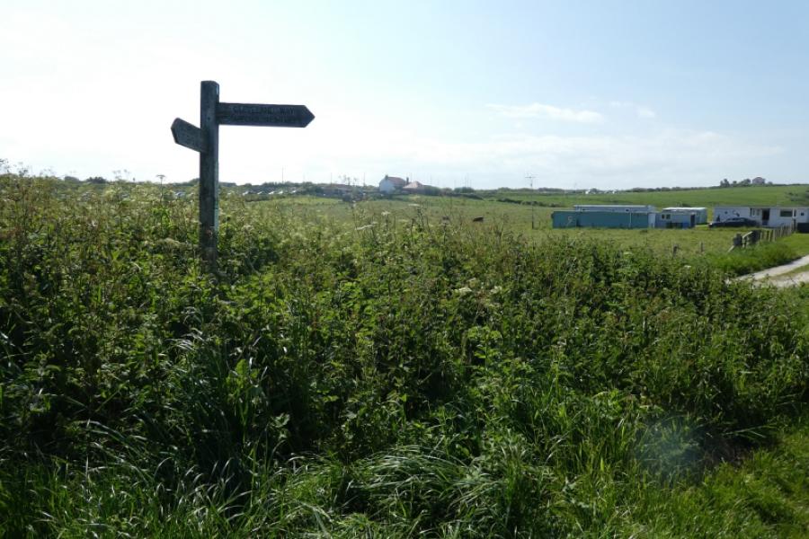
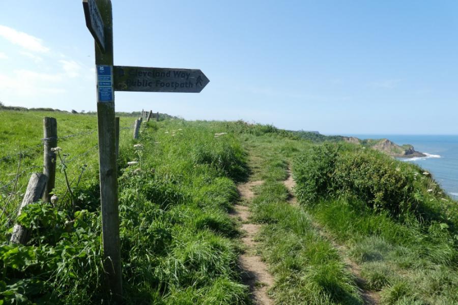
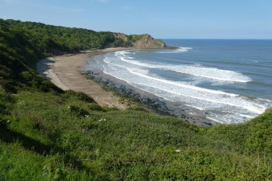
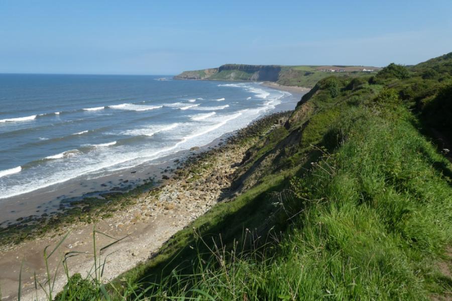
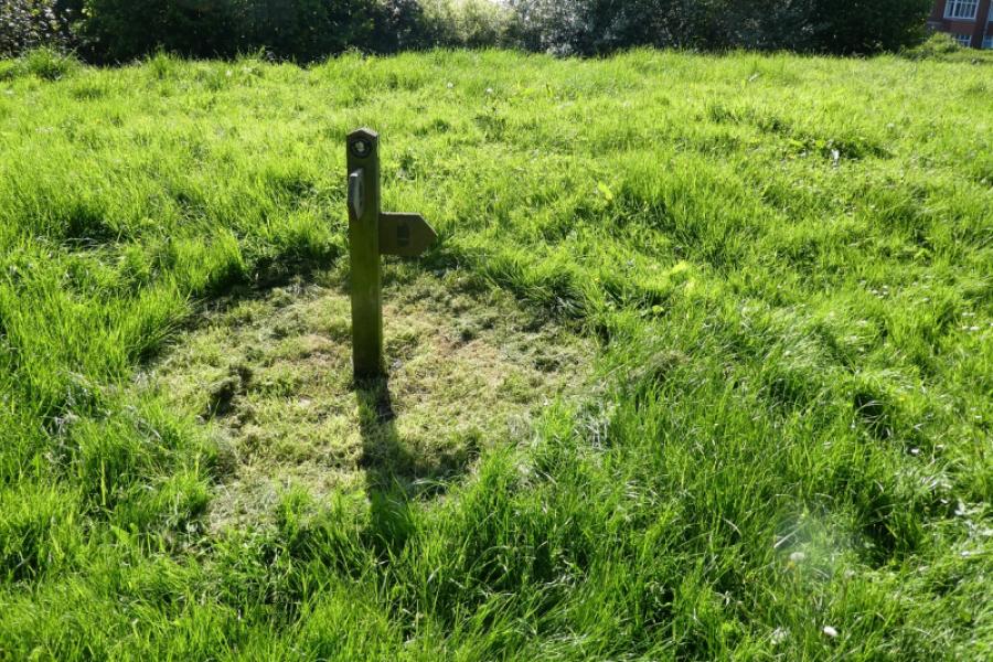
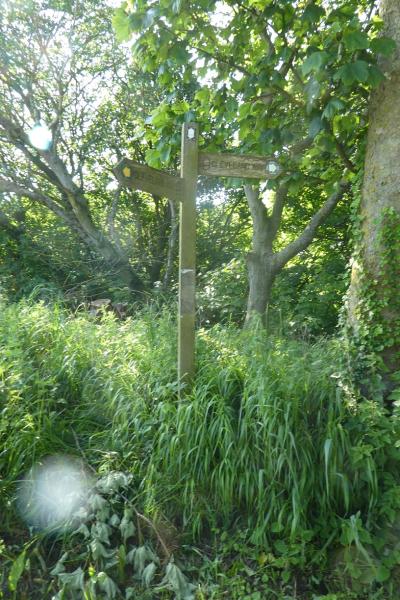
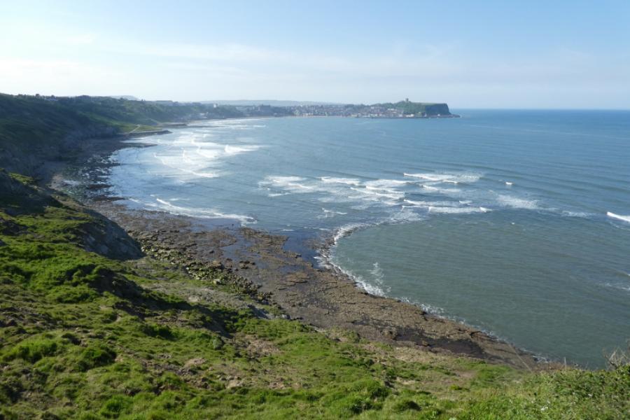
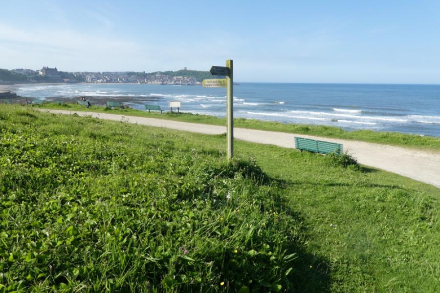
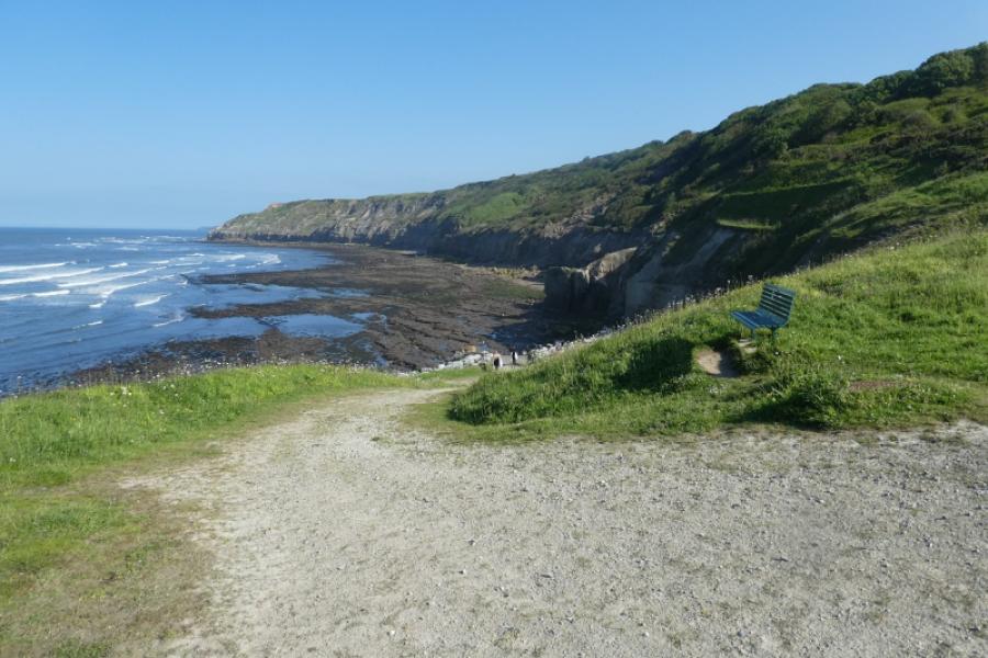
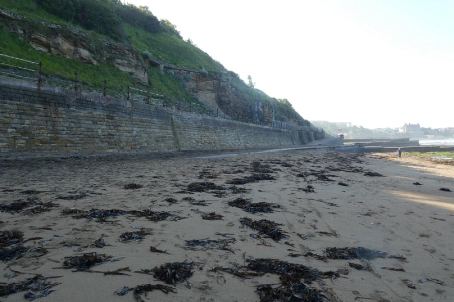
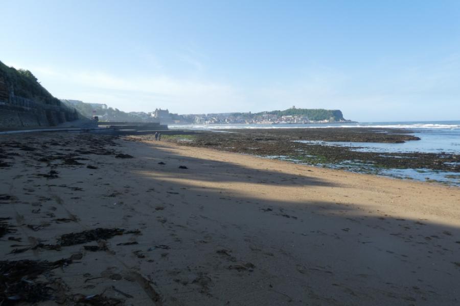
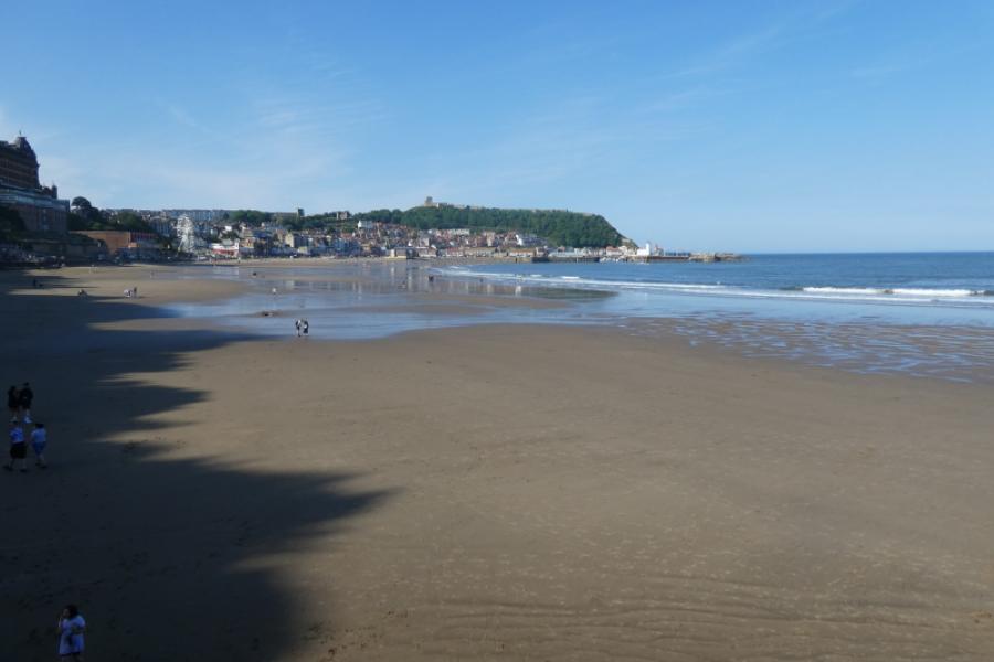
(1) Walk north from Filey seafront, keeping the sea on your right and heading towards the obvious headland of Filey Brigg. Just before Filey Sailing Club, go left up a minor tarmac road. After about 50 m, look for some steps on the right by a litter bin. Ascend these to reach the cliff top. Continue to Filey Brigg then walk along the good path to its end where the path drops steeply to rocky platforms which are only accessible at low tide. An alternative approach, tide permitting, is to walk under the Brigg on the Filey side to reach the end which can be explored, again tide permitting. There is a path much of the way. This alternative should not be followed within 2 hours of the high tide but seems relatively safe at other times. After exploring the eastern end, you need to gain the higher western section. With care it is possible to ascend the nose of the Brigg to gain the higher section which seems easier than attempting to ascend the old path up the side of the Brigg passed earlier. Head west, retracing if you did not visit its lower section, along the Brigg, perhaps keeping to the right where there are some excellent views down to the sea. Follow the signed Cleveland Way along the top of the cliffs. Pass Filey's Rocket Post. Continue to reach the National Trust Newbiggin area. If it isn't already visible, distant Scarborough will be seen for most of the way. Pass the Blue Dolphin Holiday Park. Pass Lebberston Cliff which seems to be the highest point of the route and has a large portion sticking out, a bit like an ear. Continue, descending towards the long Cayton Bay which is very popular and has tracks leading down to the beach where refreshments may be available.
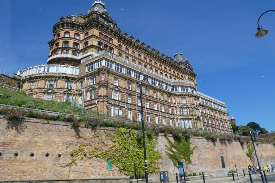
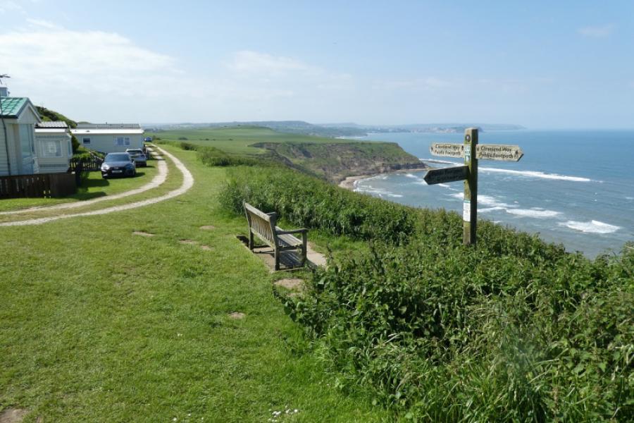
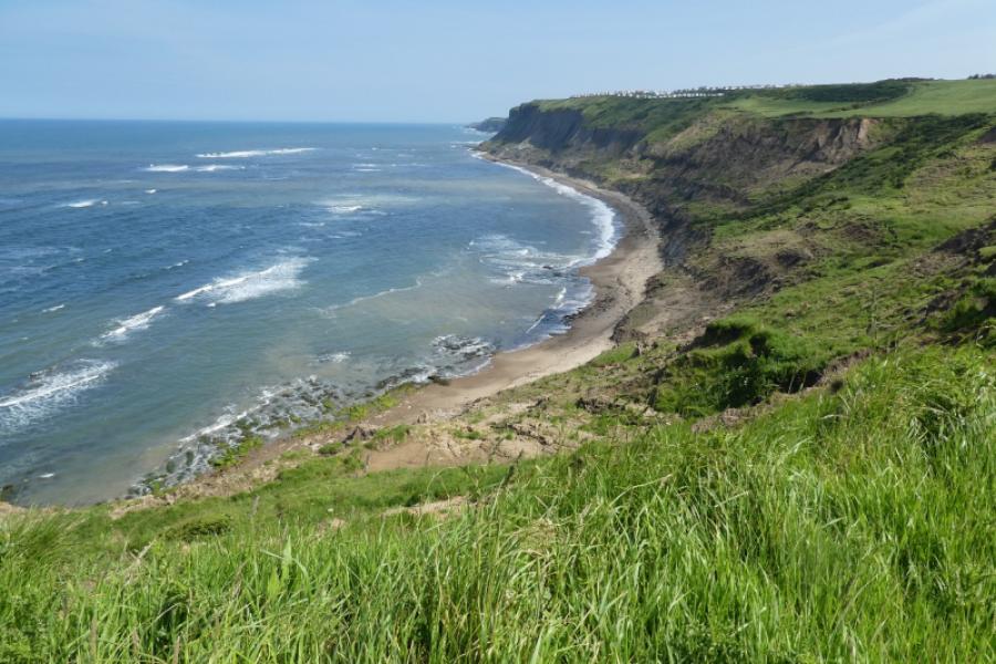
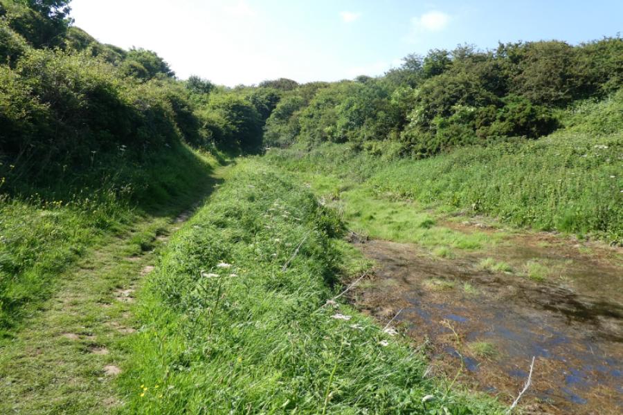
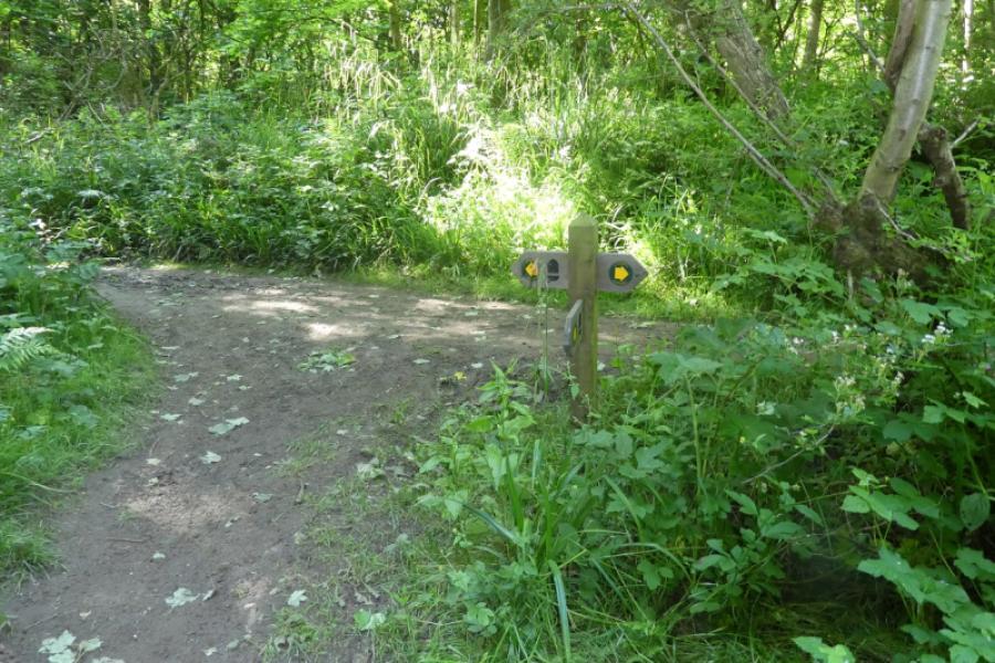
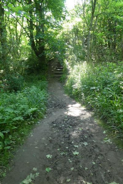
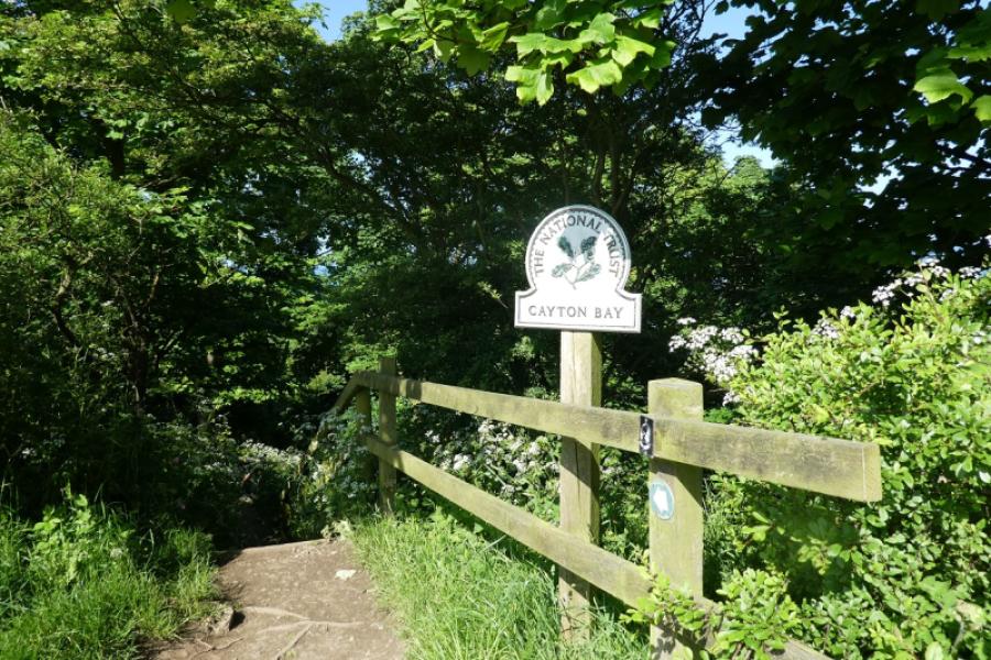
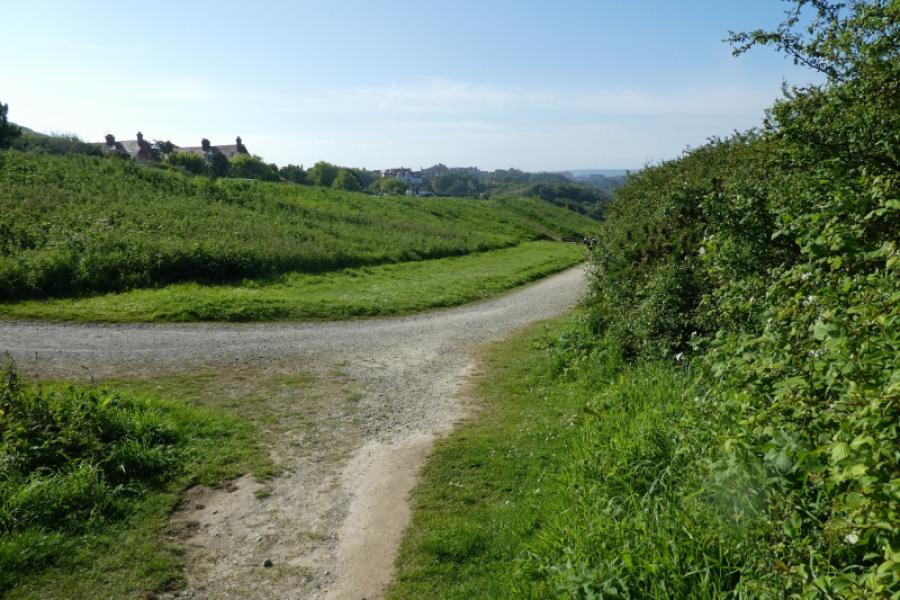
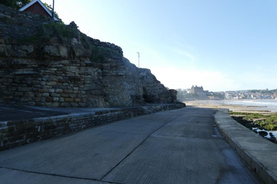
(2) Continue on the Cleveland Way, above Cayton Bay, initially climbing steeply on grass. Soon after the path levels out, a sign points one down towards the beach so losing all the height just gained! The path doesn't quite reach the beach but goes through dense woodland before reaching steps, many of them, which lead up to the road in Osgodby. Turn right and walk along the street which is grassy on one side and has benches for those wanting a sit down. There is also a bus shelter if one wishes to escape the weather. Just after a fence by the Knipe Point development, the Cleveland Way leaves the road and heads back towards the coast. Soon the views start to open up again. Continue on the well signed route and Scarborough South Bay will soon be seen. The path eventually joins a track which leads down to the beach. Ahead, there has been much erosion of the cliffs and some paths and track have been blocked off but walking on soft sand can usually be avoided. Continue to the Scarborough Spa, a grand old building, where the seafront road is joined which leads back to the underground car park.
Notes
(a) This walk took place on 2nd June, 2024.
(b) This walk could be split into two unequal sections by stopping/starting at Cayton Bay which the bus passes.
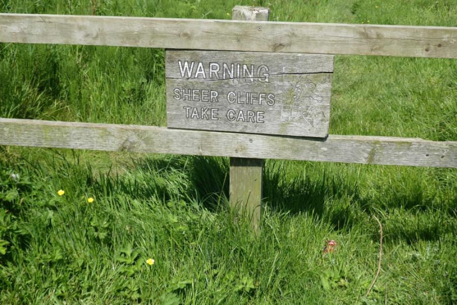
(c) Filey Brigg, alone, was revisited on 6th August, 2025, when further photos were taken with all their captions beginning with “S” as a Sony compact camera was used. It must be stressed that the lower eastern end of Filey Brigg is usually completely submerged at high tide so all the warning notices should be observed which state that people should stay off the lower eastern end of the Brigg at least 2 hours before high tide. Not also that some large waves (see photos) can break over the eastern end of the Brigg and they can be strong enough to wash away both people and dogs.
Photos - Hover over photo for caption. Click on to enlarge. Click on again to reduce.