Get Lost Mountaineering
You are here: England » North Yorks Moors & Coast
Scarborough South Bay to Ravenscar
Scarborough South Bay to Ravenscar
Start/Finish
South Bay harbour in Scarborough finishing at Ravenscar National Trust Cafe. If no transport is available at both ends then start in Ravenscar and catch the bus (it leaves from by a white house just up Station Road opposite the NT cafe but there is no bus stop just markings on the road) to its terminus (outside Boyes) in Scarborough. There is plentiful free parking in Ravenscar. The first bus from Ravenscar is about 10.45 am and arrives outside Boyes at about 11.30 am. This means the walk is only possible in the lighter months.
Distance/Time
20 km About 5 – 6 hours
Peaks
No peaks as this is essentially an edge walk but there are many “ups and downs”, more than other parts of the coast further north.
OL 27, 1:25 000, North Yorks Moors Eastern Area.
Introduction
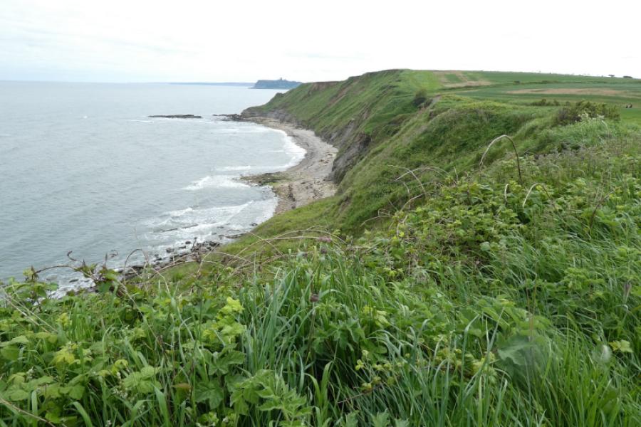
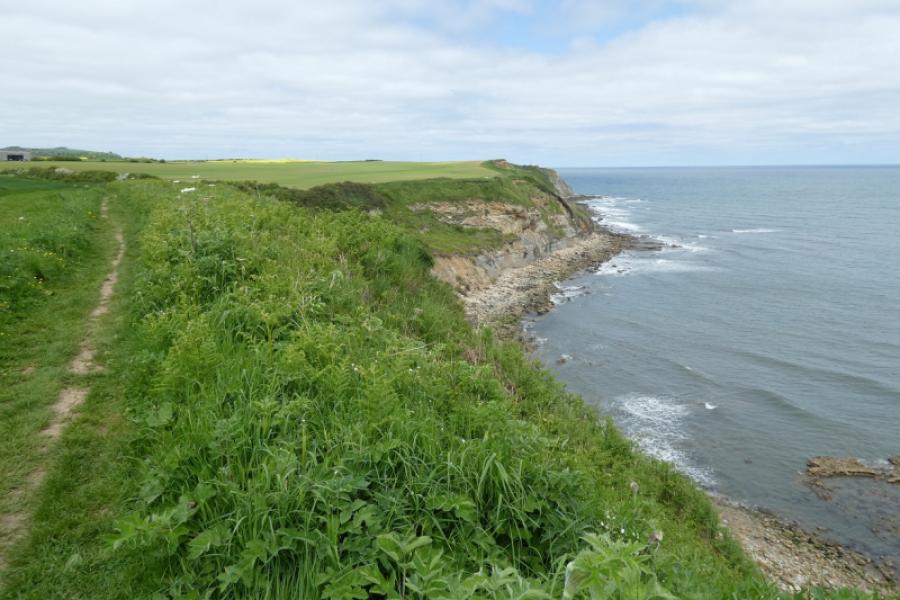
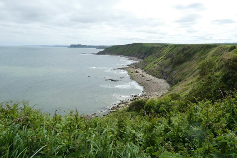
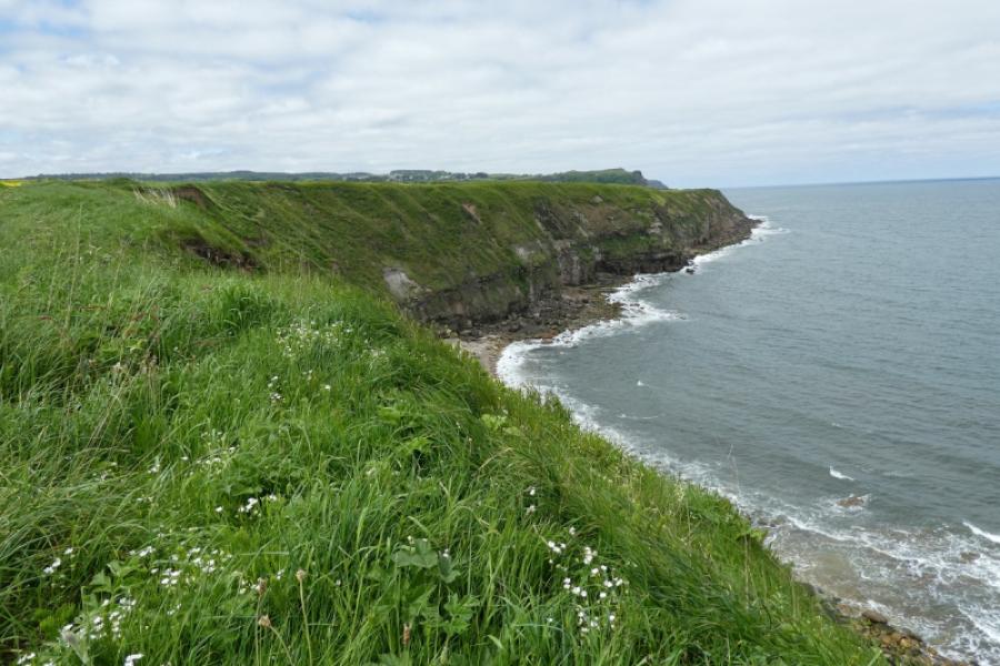
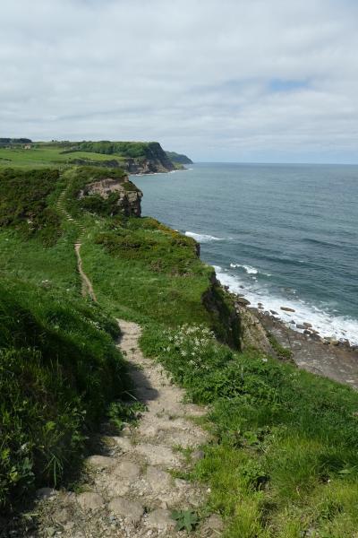
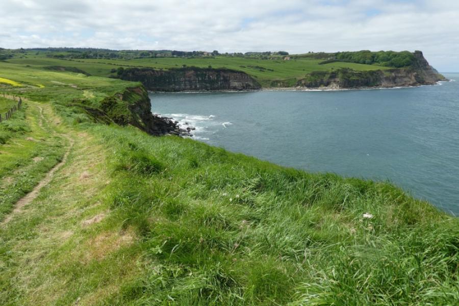
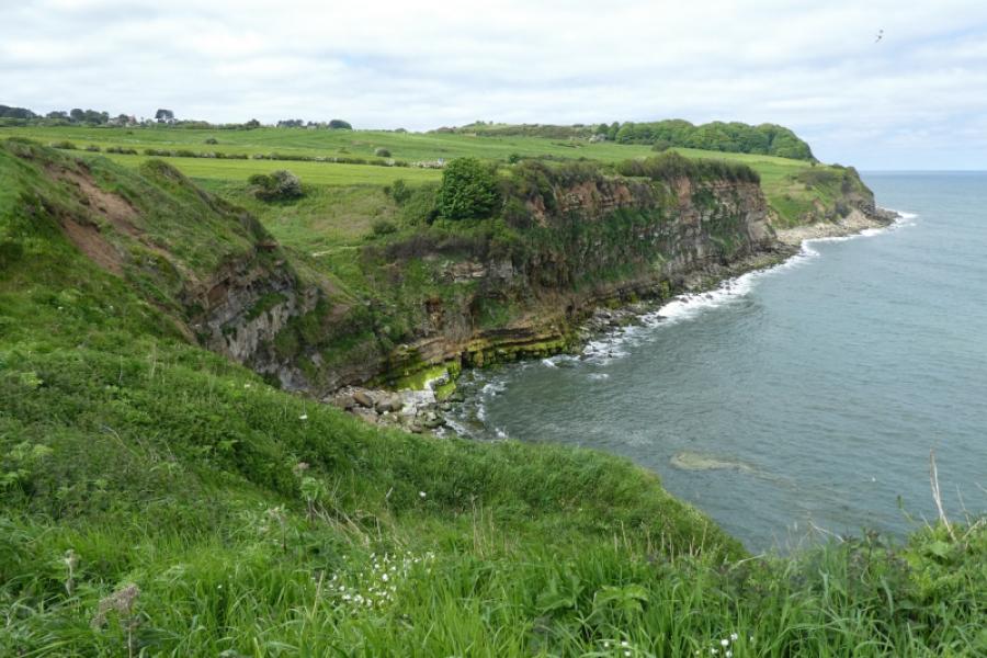
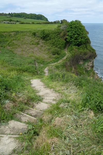
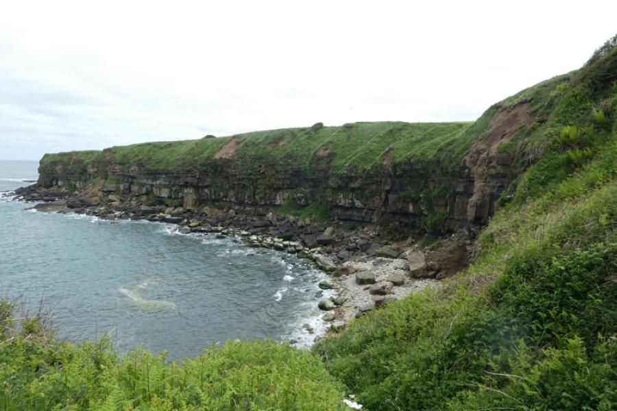
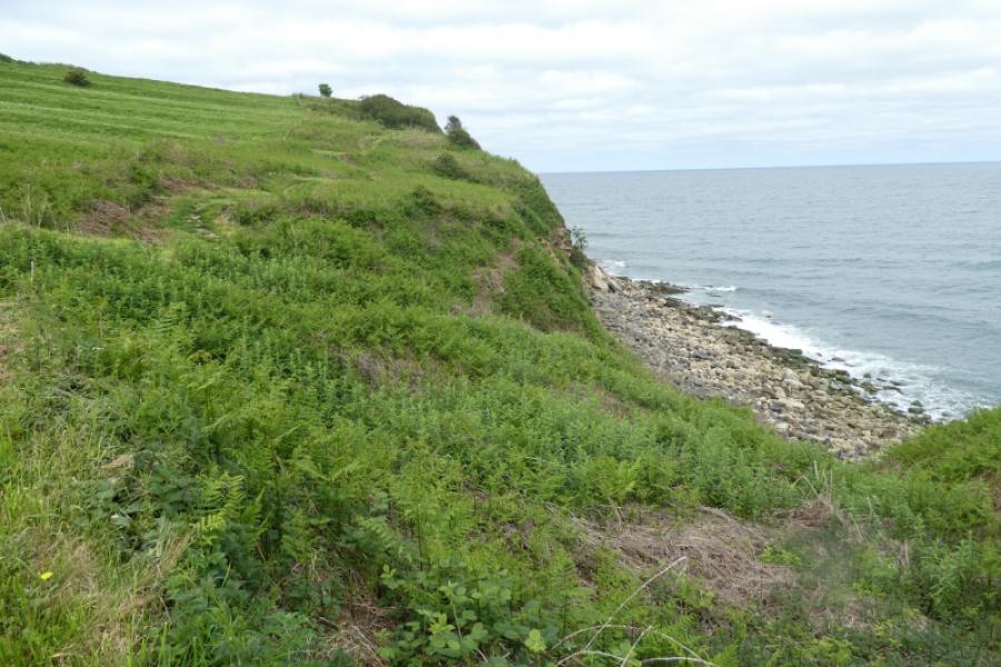
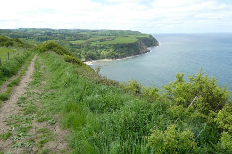
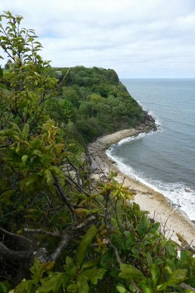
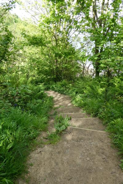
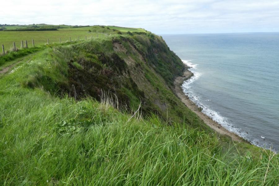
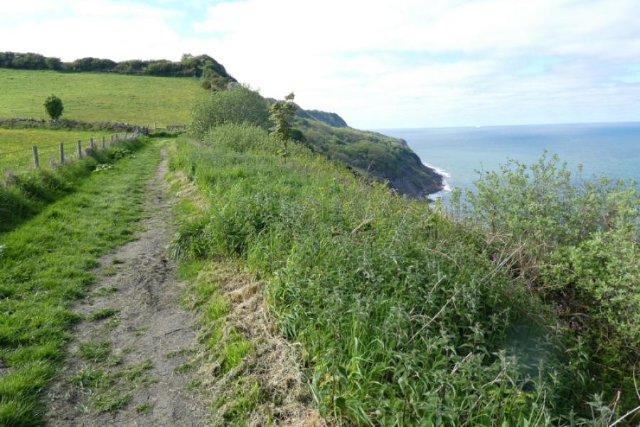
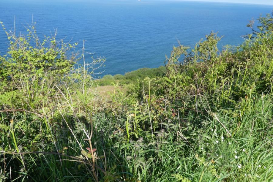
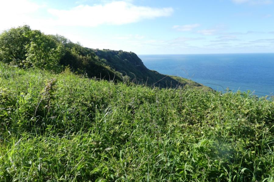
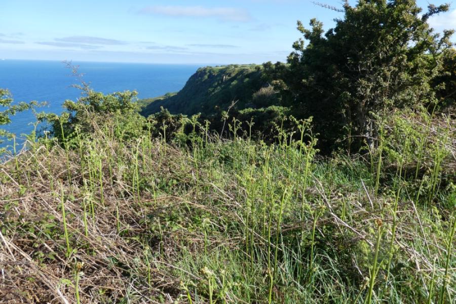
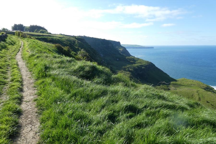
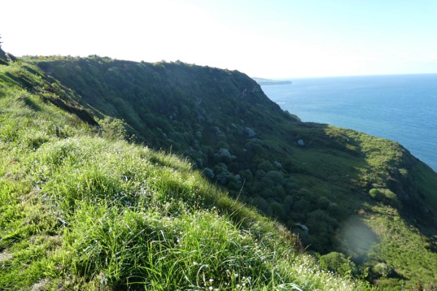
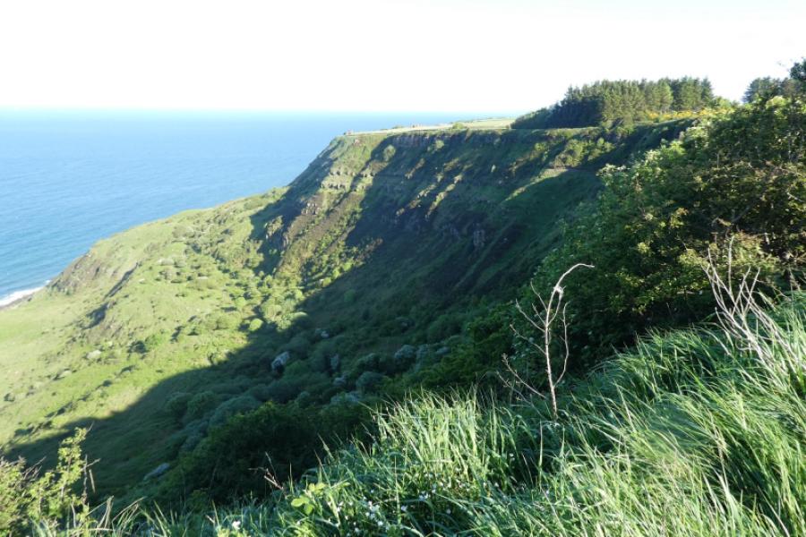
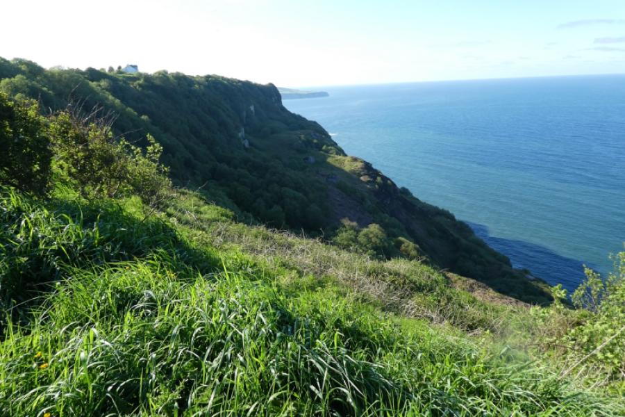
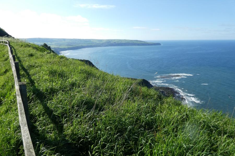
The North Yorkshire Coast is dramatic with many cliffs and rocky beaches. Unfortunately, it is eroding rather quickly as the exposed rock is very soft and crumbly. The Cleveland Way runs along much of the coast and this route uses much of it. Navigation is relatively straightforward once the Cleveland Way is joined (keep the sea on your right!!). This is one of the most “up and down” parts of the Yorkshire coast with lots of steps in places. The route is not quite as scenic between Hayburn Wike and Ravenscar as it is hard to see the cliffs and what cliffs are seen are very overgrown.
Route
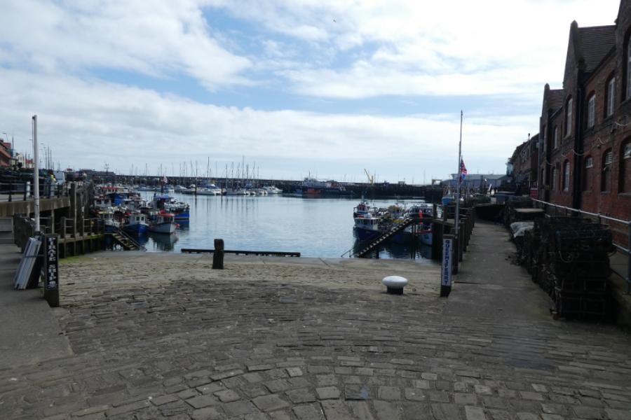
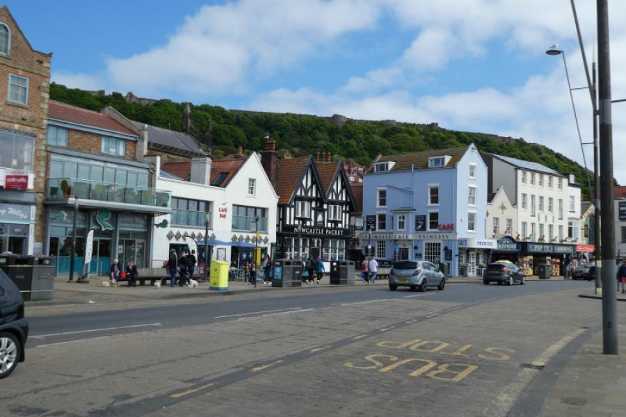
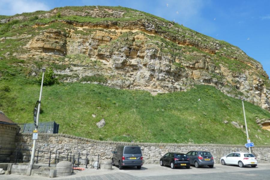
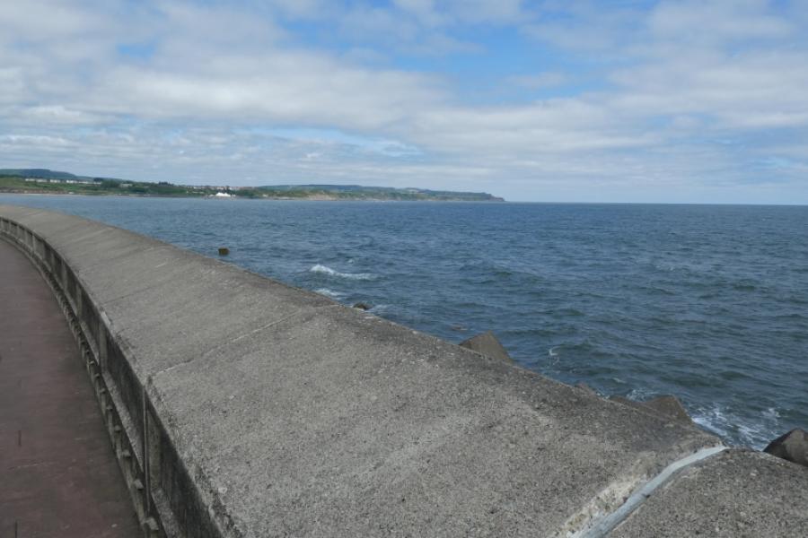
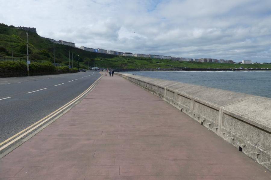
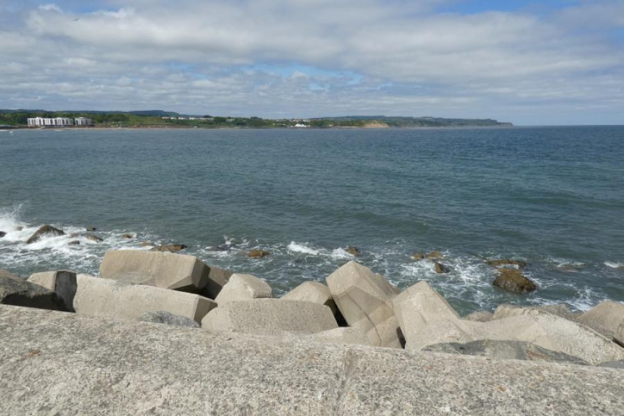
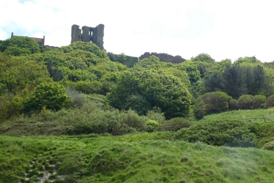
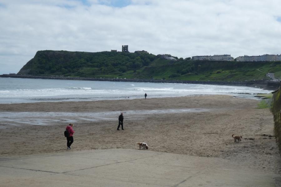
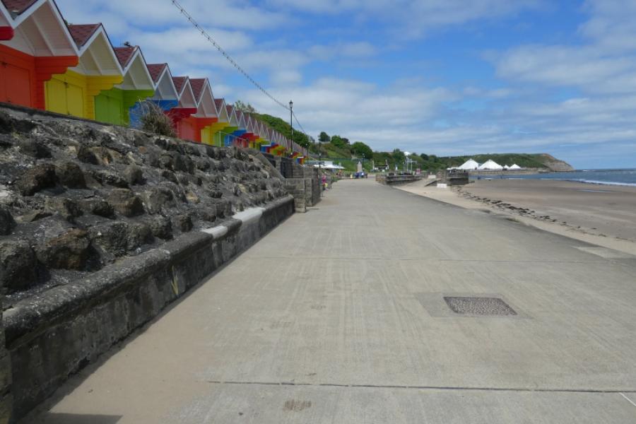
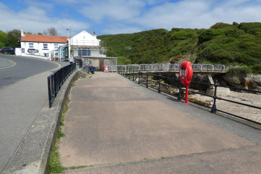
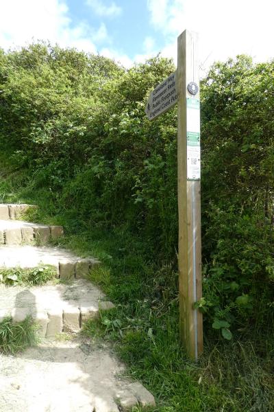
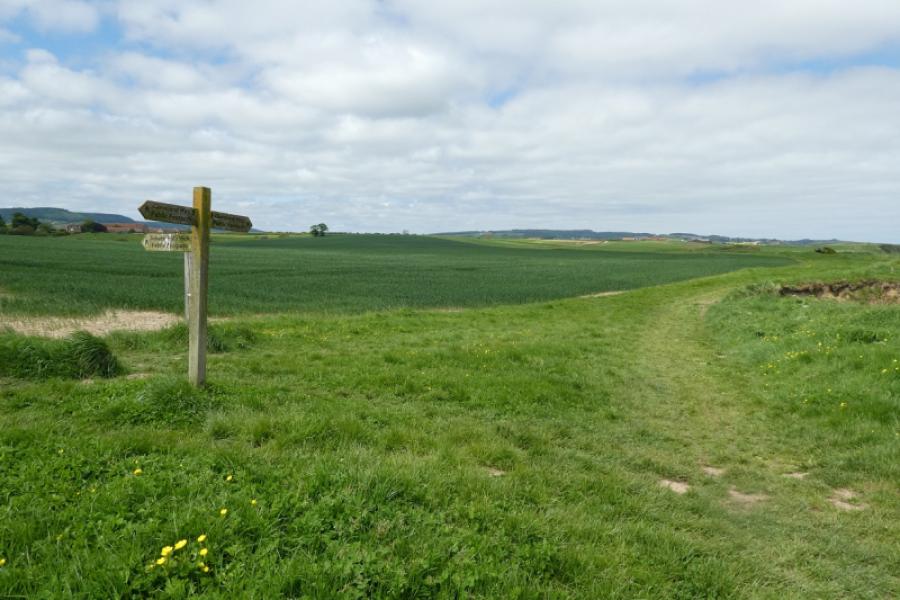
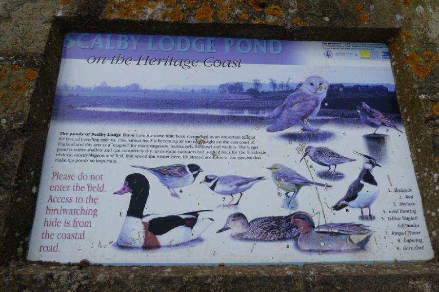
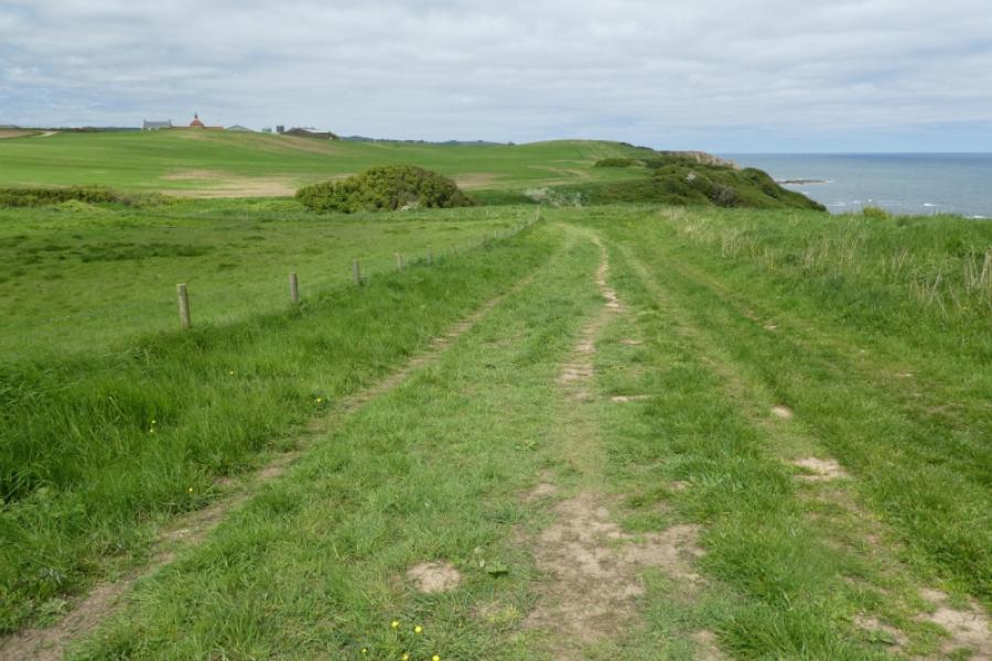
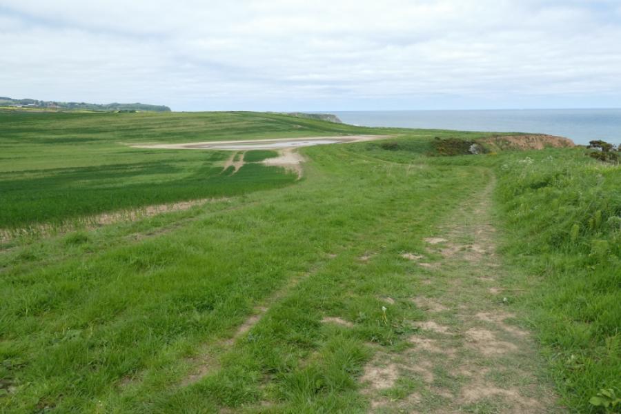
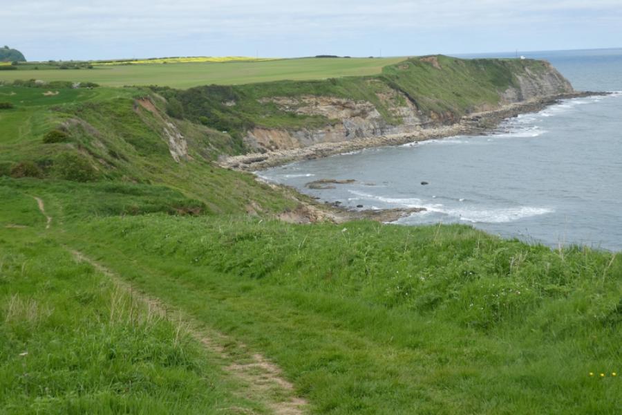
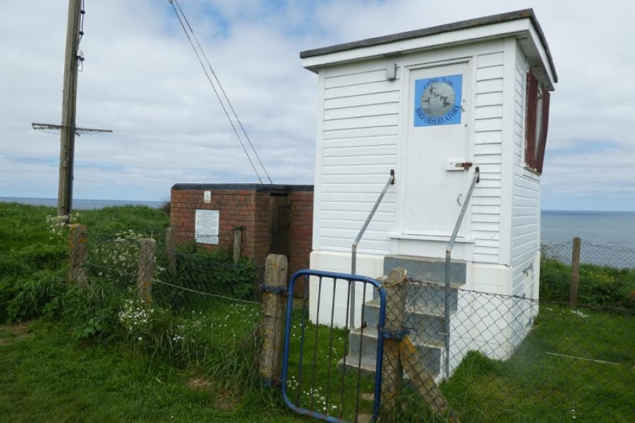
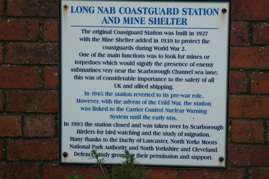
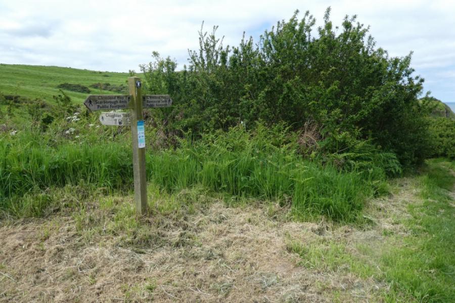
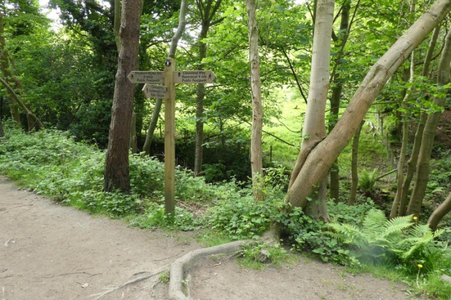
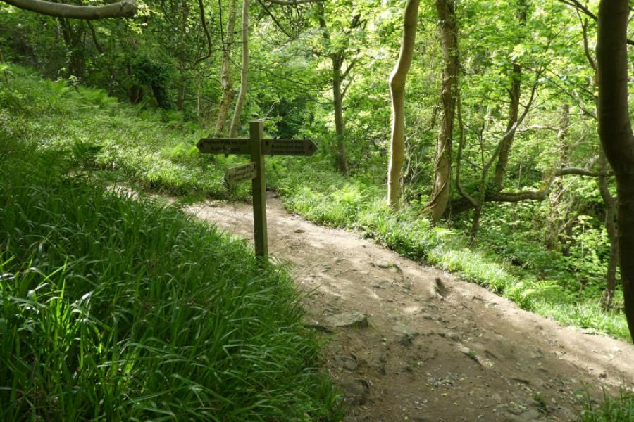
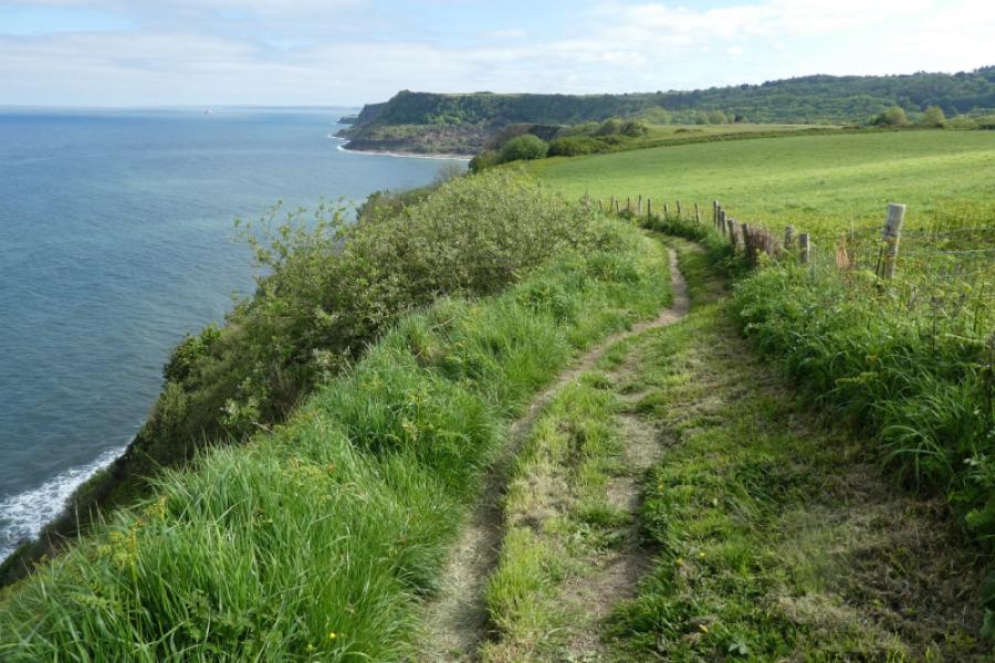
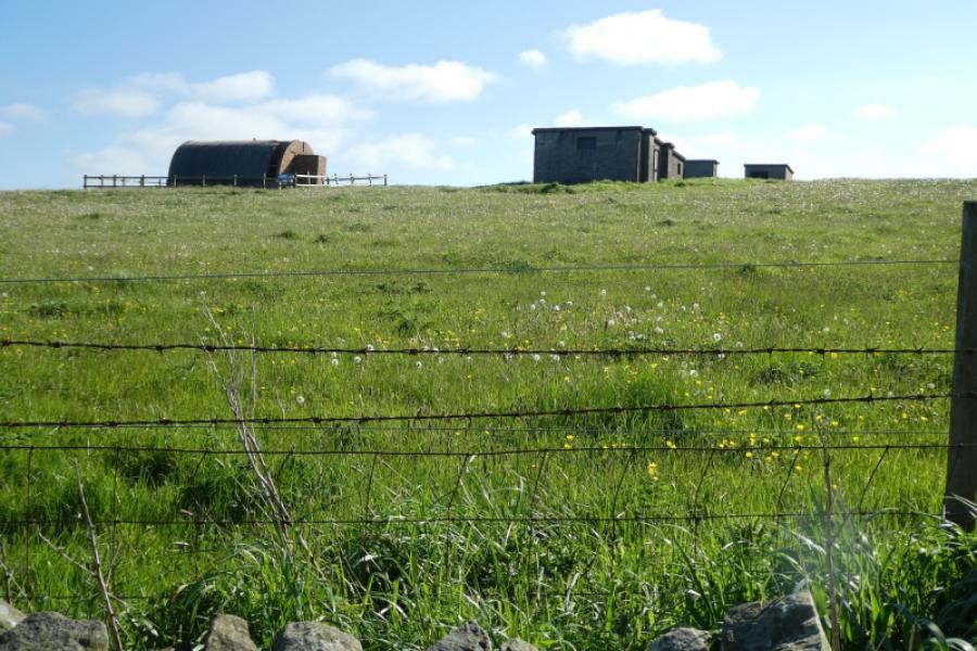
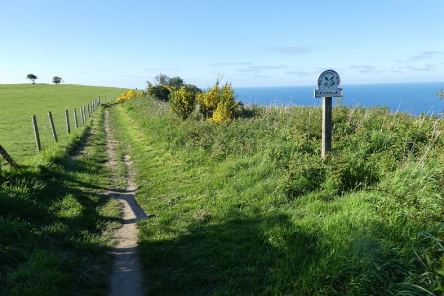
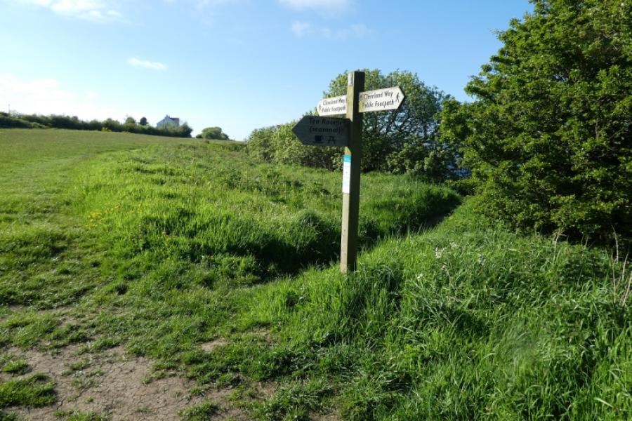
(1) From Boyes, walk gently down hill, on Queen Street, for a few metres then turn left onto a street full fo shops and follow it down to the harbour on South Bay. Follow the promenade (left) past the gift shops and amusement arcades, around the cliffs to North Bay then continue. The old castle is above the cliffs. Pass the chalets and continue to the end of the bay where there is a footbridge then steps signed as the Cleveland Way. Go up the steps and follow the path along the cliff tops. Pass the information board about Scalby Ponds then pass Scalby Lodge. Reach Crook Ness which is a wide overgrown gully. There is no signpost here so but the Cleveland Way goes into the gully then up the other side or you can go more easily around the gully, passing a small car park. Continue after Crook Ness to reach the Long Nab old coastguard lookout. The white building will have been visible for some distance in clear weather. Continue passing some scenic clifs to reach the bay of Cloughton Wyke which the path goes around.
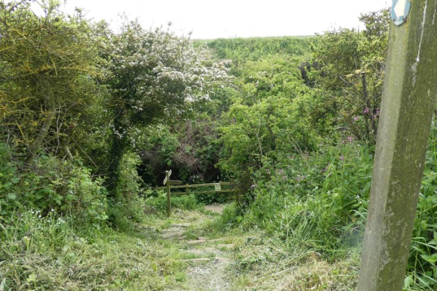
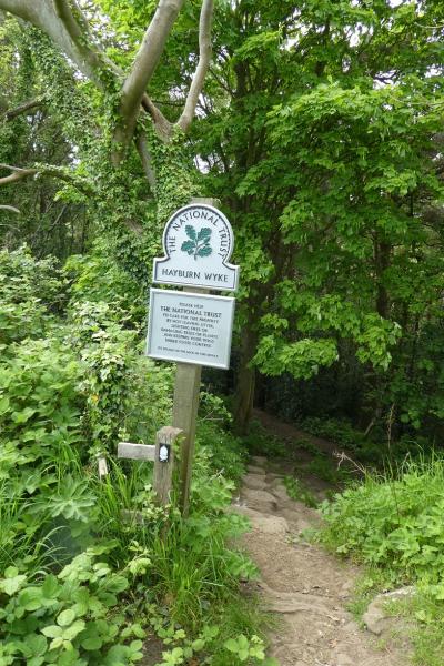
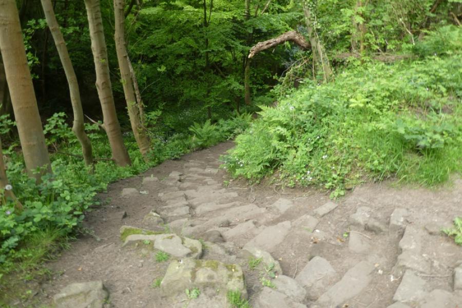
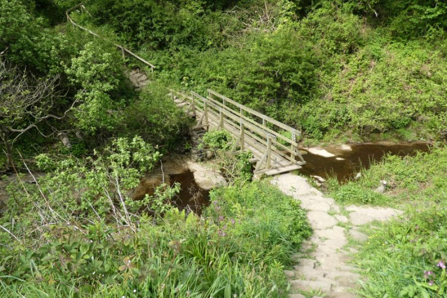
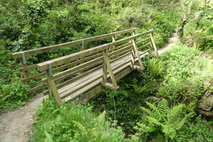
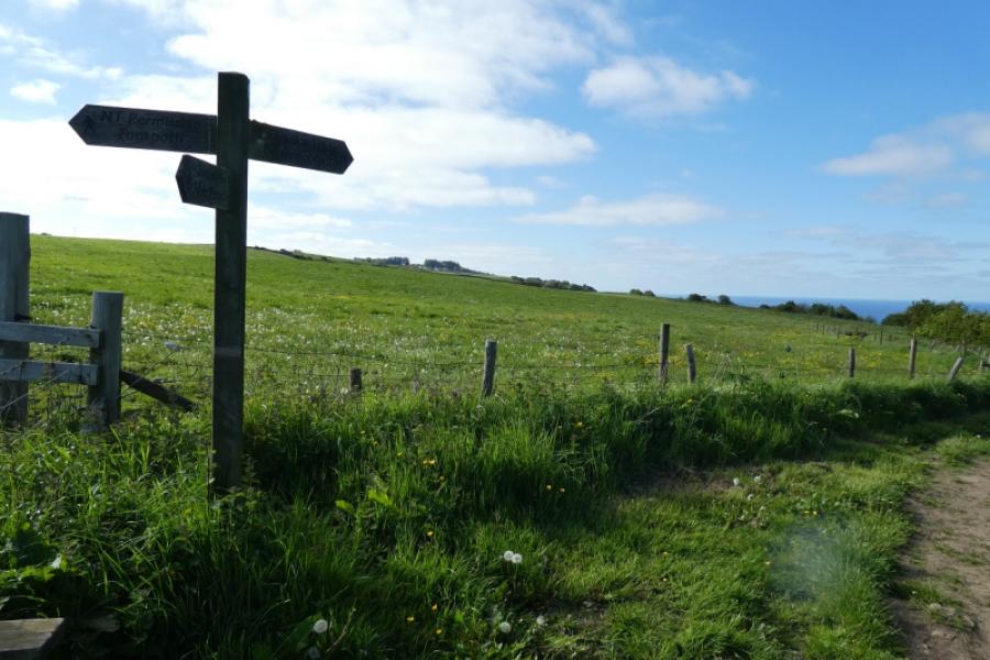
(2) Continue on simlar ground with similar views until the long and steep descent, through woodland, into Hayburn Wyke is reached. Here it is possible to make a short detour to the village pub (about 5 minutes each way). After quite a long descent which takes one almost to sea level, reach a footbridge then climb steep steps before descending to another footbridge then climbing again before the steps finally end and the ground is similar to before but gently ascending.
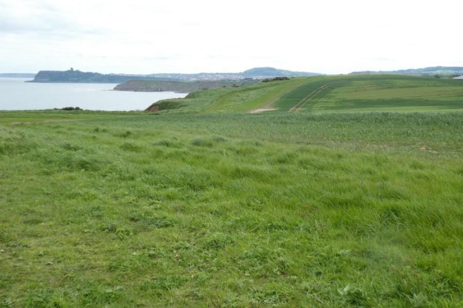
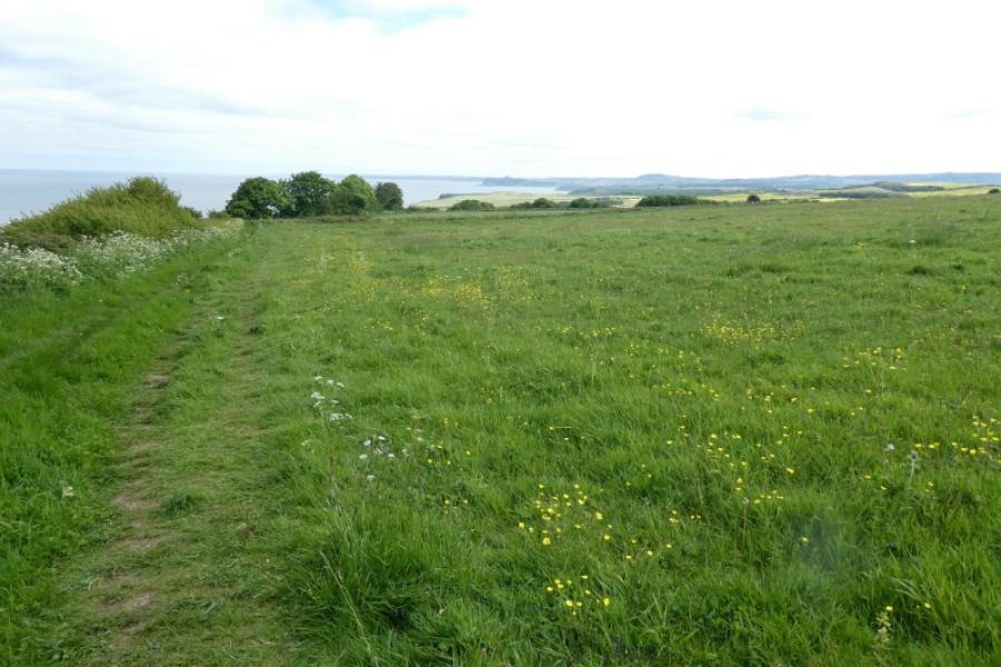
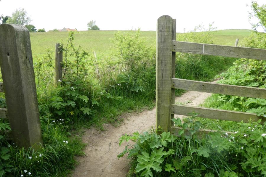
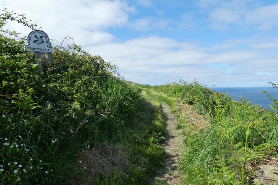
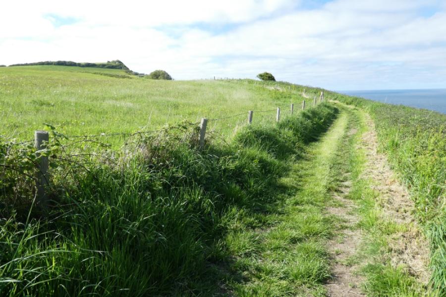
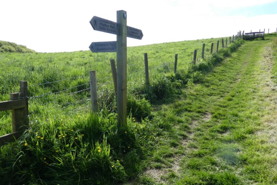
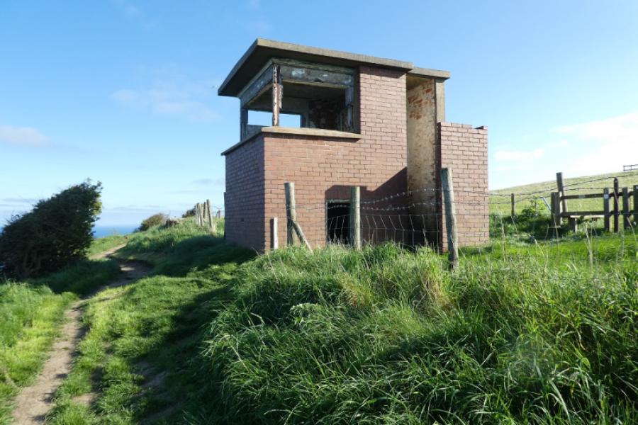
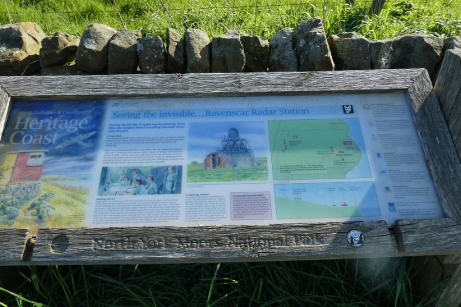
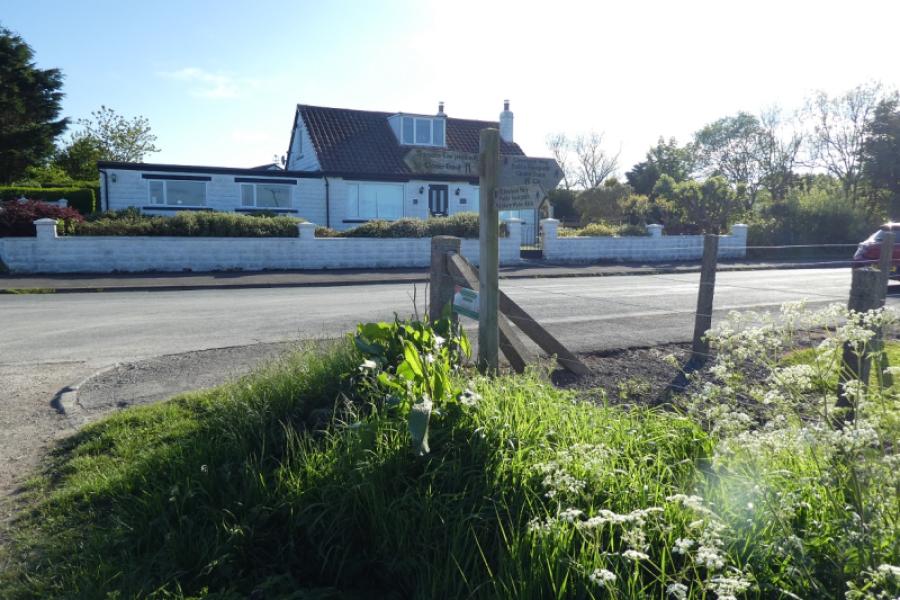
(3) Continue easily, passing a path to Staintondale. Views of the cliffs are now rare as the coastline is fairly straight and the cliffs are heavily vegetated and overgrown. Pass another old coastguard lookout with an old radar station behind it. Just before the Ravenhall Hotel is reached, there is a reasonable view of part of Robin Hood's Bay (better views from Ravenscar village road). The Cleveland Way goes up the side of the hotel to reach the road at the white house by the bus stop.
Notes
(a) This walk took place on 20th May, 2024.
(b) This walk could be split into two unequal sections by stopping/starting at Hayburn Wyke which the bus passes.
(c) The section along the seafront at Scarborough could be omitted but the bus from Ravenscar doesn't go along the seafront so another bus would have to used from South Bay to the Sea Life Centre where the footbridge is.
Photos - Hover over photo for caption. Click on to enlarge. Click on again to reduce.