Get Lost Mountaineering
You are here: England » Yorkshire Dales » Howgills, Baugh Fell & Wild Boar Fell
Hooksey, Randygill Top & Green Bell from Weasdale
Hooksey, Randygill Top & Green Bell from Weasdale
Start/Finish
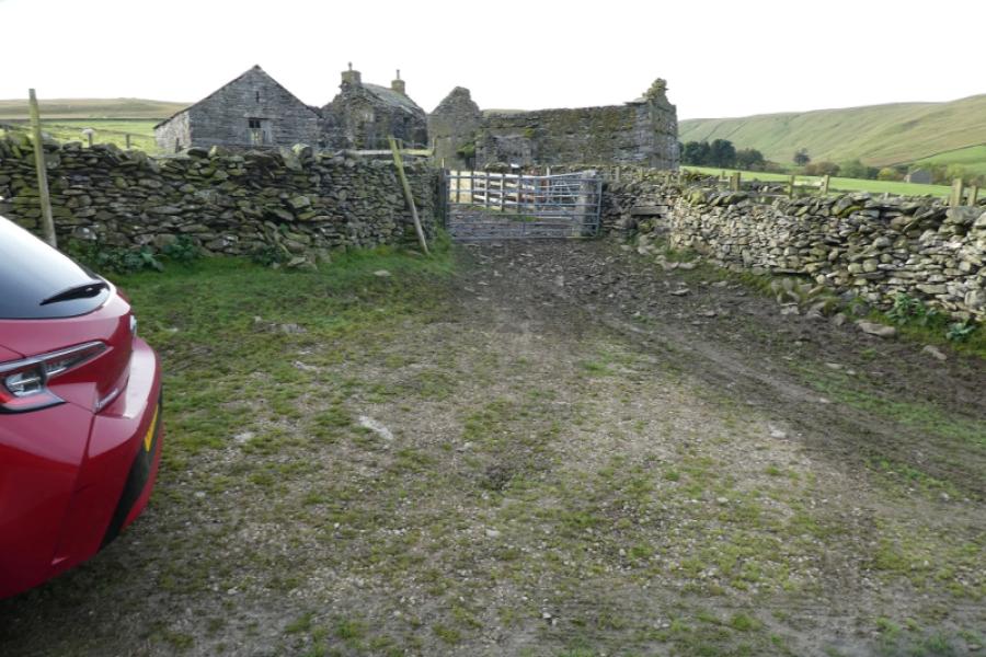
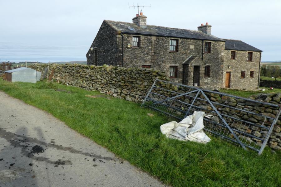
The old ruin near Weasdale Farm. The postcode of the farm is CA17 4LY but this may not take you exactly to the farm as the postcode covers quite a wide area but it should get you onto the correct minor road. The approach to the area is via the A685 Tebay to Kirkby Stephen road. If driving towards Tebay then go past the 3 roads into Newbiggin-on-Lune. The turning for Weasdale is immediately after and is signed. If driving towards Kirkby Stephen then the Weasdale road is about a mile after Wath and before any road into Newbiggin-on-Lune. Follow the minor road for Weasdale which bends right after about half a mile. Continue past Tranmoor (signed). Reach a fork and go left. The large old ruin is soon reached. Park sensibly without blocking any gates or part of the narrow road. There is verge parking a little further on and further back but no parking once you reach Weasdale Farm.
Distance/Time
10 km About 3 - 4 hours
Peaks
Hooksey (highest point), 586 m, NY 685 699.
Randygill Top, 624 m, NY 687 000.
Green Bell, 605 m, NY 698 011.
OL19 Howgill Fells & Upper Eden Valley
Introduction
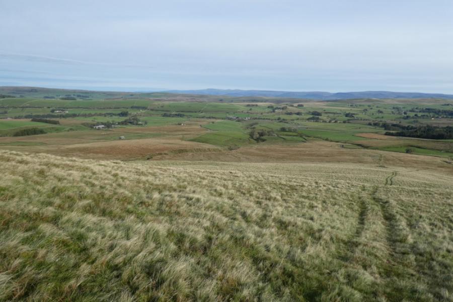
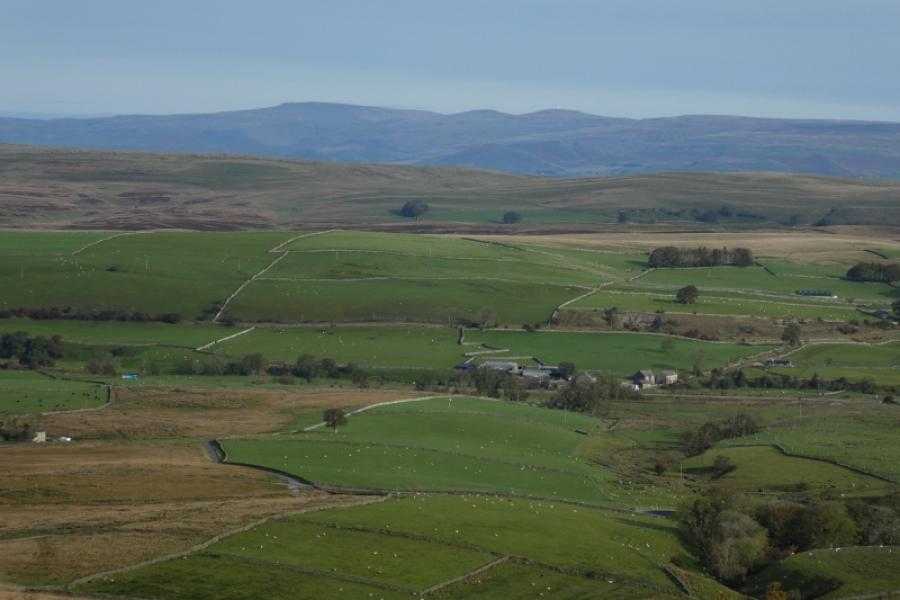
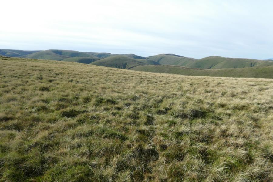
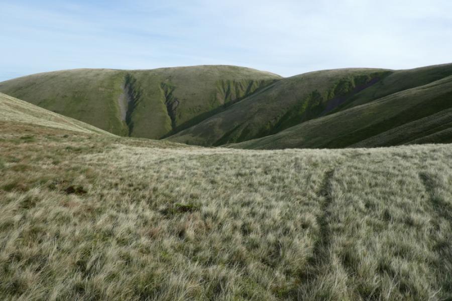
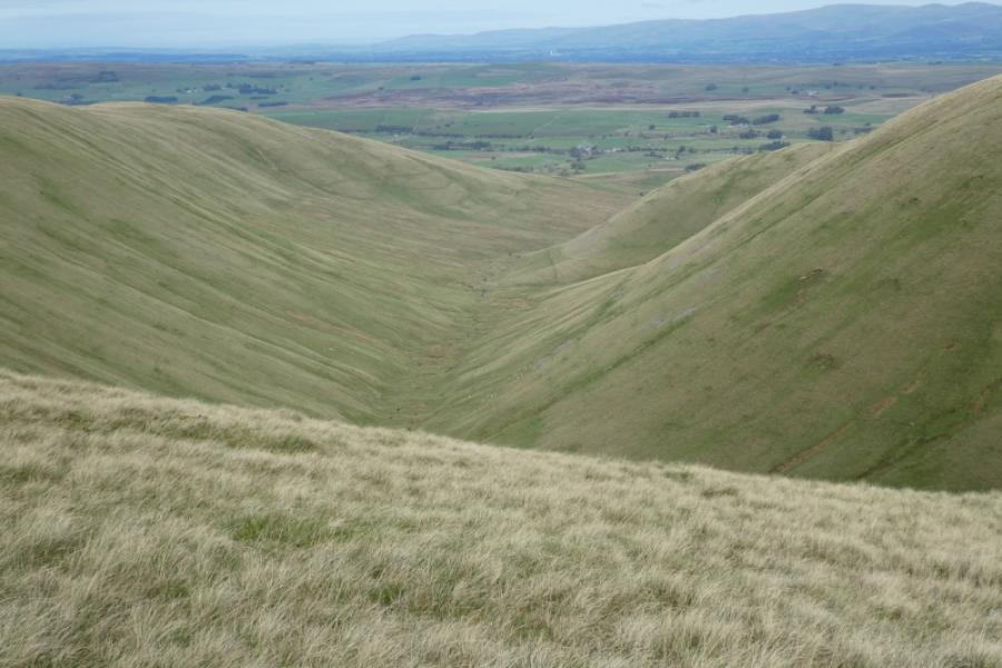
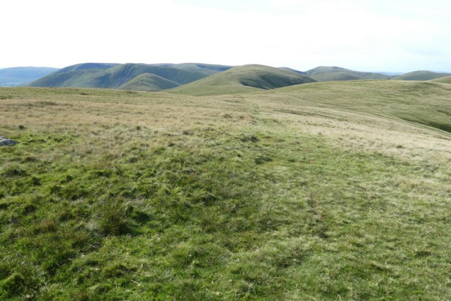
This walk lies entirely within the Howgill Fells which are bounded by the M6, A684/A683 and A685. It is a compact group of hills known for its ridges and steep valleys. They are much quieter than the Lakeland Fells lying to the west across the M6 and the Yorkshire Dales lying to the east. The highest point in the Howgills is The Calf and this has good paths leading to it. The most well known feature is Cautley Spout which is a series of impressive waterfalls. Neither The Calf nor Cautley Spout are visited on this walk but there is a route for them uploaded. Being so quiet means that the Howgills are largely unspoilt. On this route, it is nearly all grass with no fences, walls or stiles to climb over. The near views are good with dominant tops and ridges overlooking steep valleys. On clear days there are distant views to Wild Boar Fell, Cross Fell and to the Lake District. Leathgill Bridge is on this walk. It is not an actual bridge but a dip in the ridge between Hooksey and Randygill Top. There is a small cairn on the Hooksey ridge but it isn't the highest point which is over 1 km away and doesn't seem to have a cairn! The whole route is on paths or tracks, most of them grassy, so it is easy to follow although snow might soon hide some of the tracks. The ascent from Leathgill Bridge up onto Randygill Top is steep and grassy. There is a faint but under snow or ice, it might be beyond the abilities of the inexperienced or ill equipped.
Route
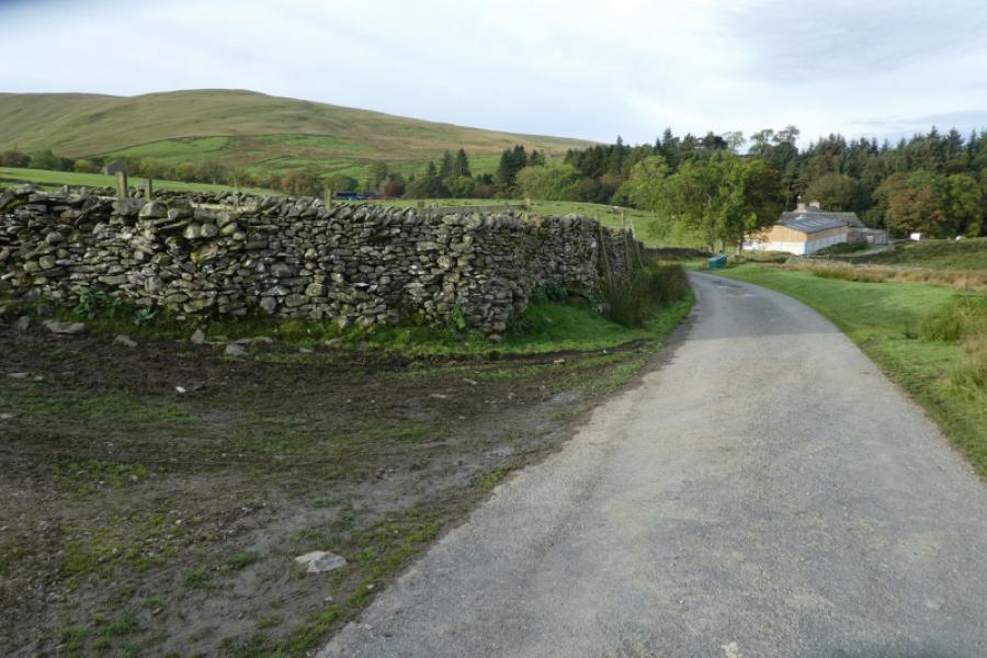
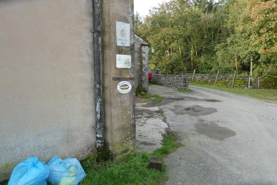
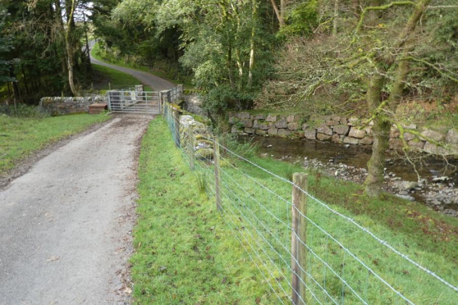
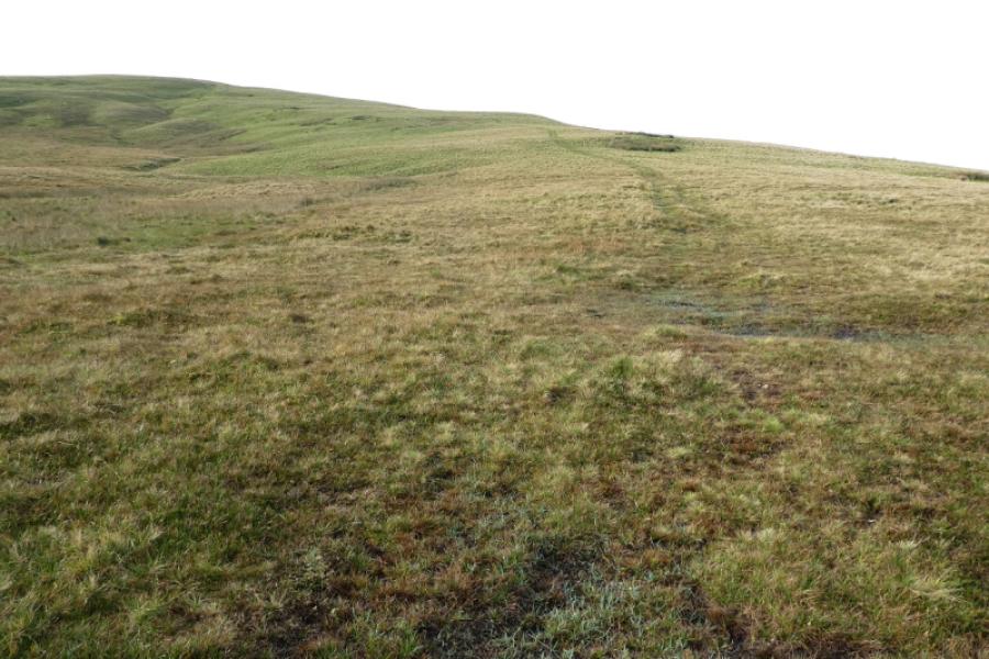
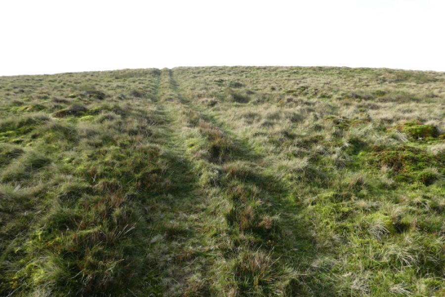
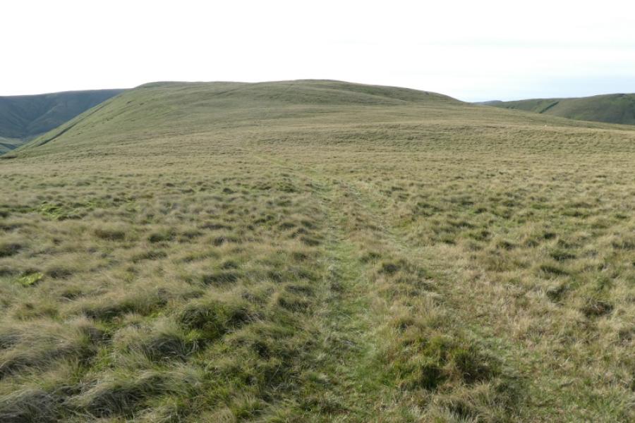
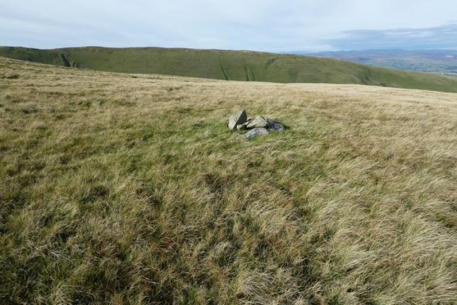
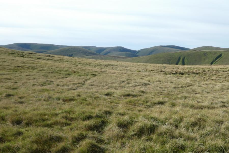
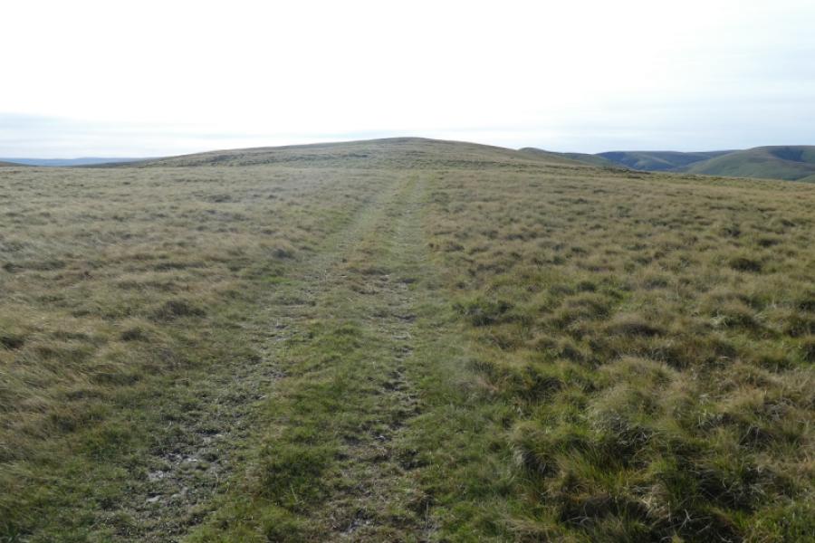
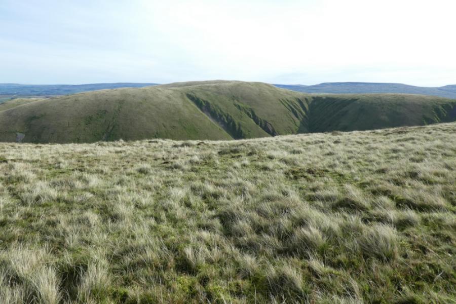
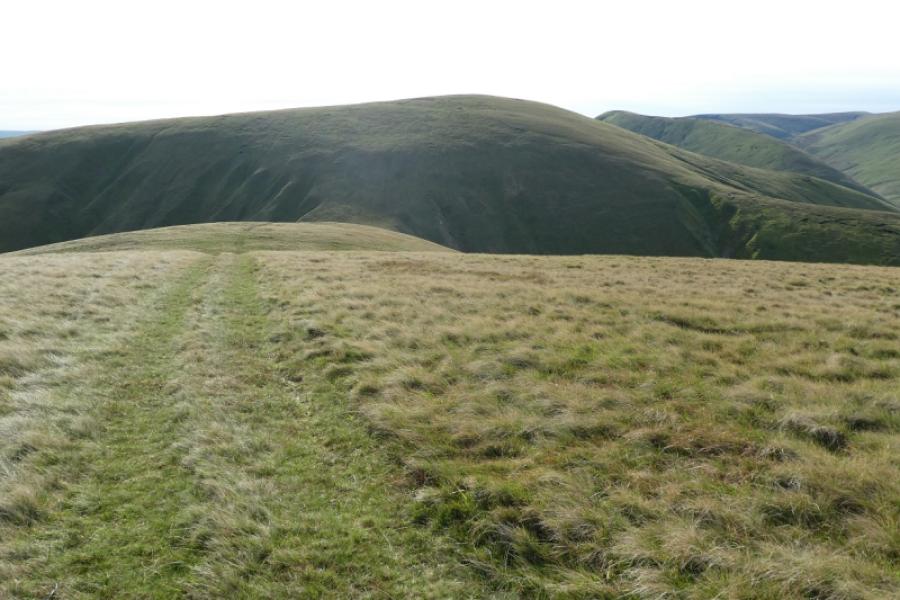
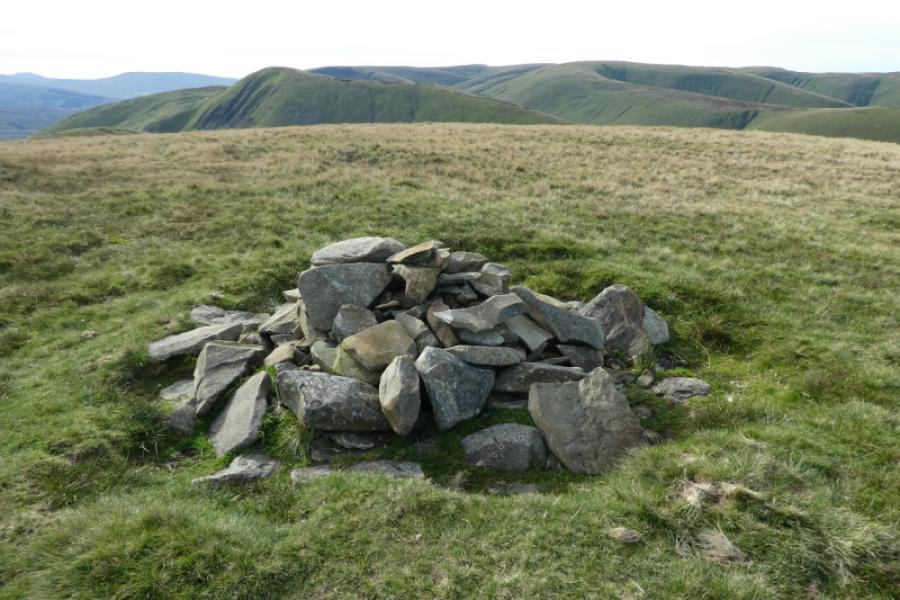
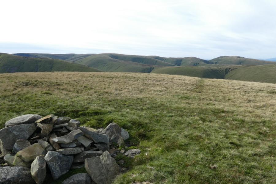
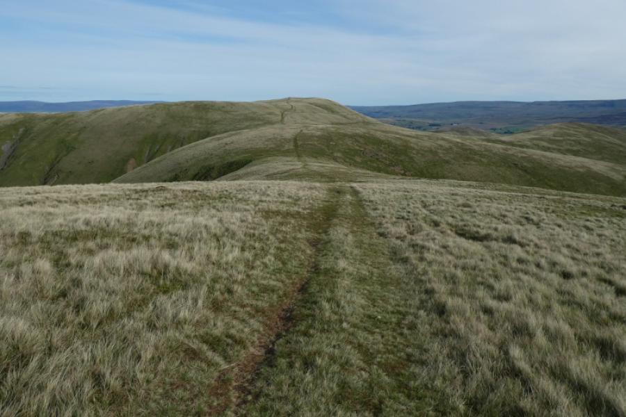
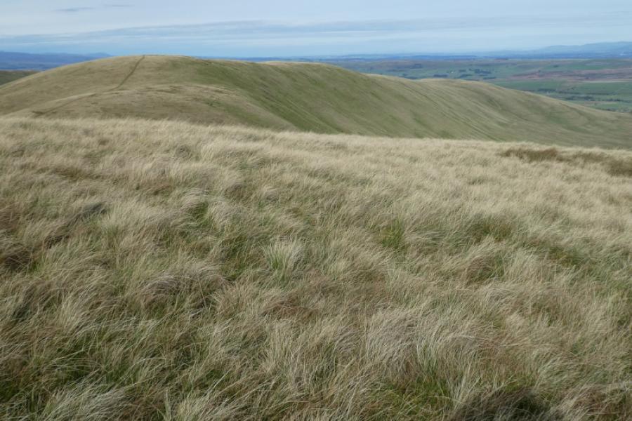
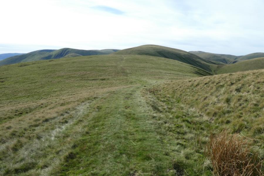
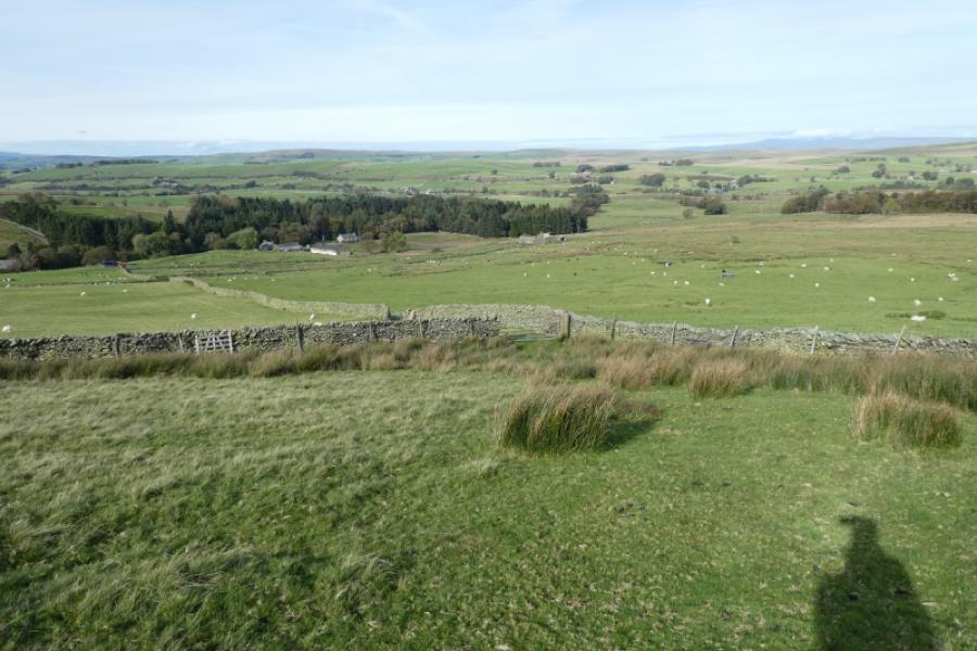
(1) From the old ruin, continue along the road to Weasdale Farm which has a plaque on the wall. Turn left and follow the picturesque small river to a gate and a low bridge over the river. Continue on the tarmac road which bends right and climbs. The tarmac road runs out at Cow Bank which is now a renovated stone cottage. Opposite this is an obvious grassy path leading away from the cottage. Follow this, to reach a gate in a wall. Do NOT go through the gate but go right and follow the wall on a grassy track. The track is easy to follow and soon drifts right away from the wall. Stay with this track which heads for the obvious ridge ahead. Eventually reach the broad grassy crest and follow the track, roughly south, as it weaves around on the crest. On one of the flatter sections is a small cairn, to the right of the path, which presumably is Hooksey. It isn't the highest point on the ridge or even the highest point in the vicinity. Continue on the track which continues south and upwards, merging with other tracks along the way. Little is seen ahead until the highest point on the ridge is reached but nothing seems to mark it. Randygill Top should now be visible directly ahead and you are now on Hooksey (highest point), 586 m.
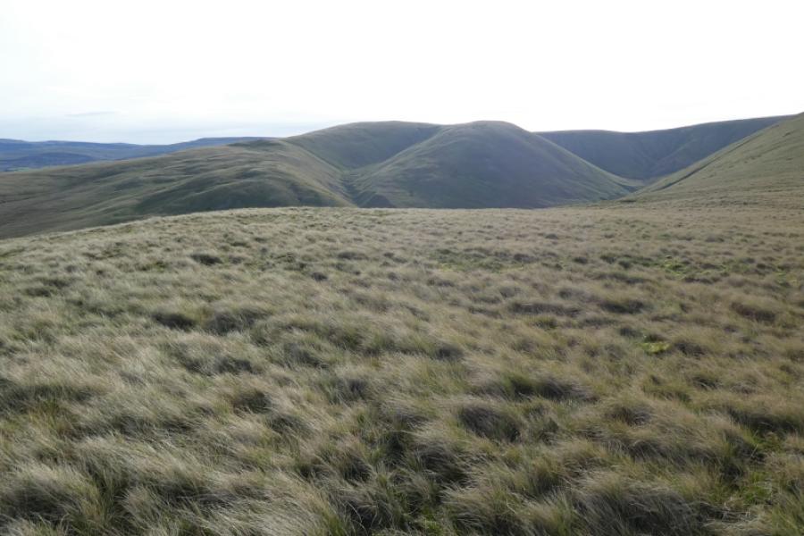
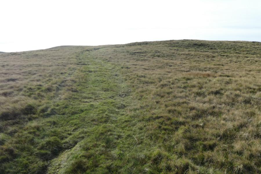
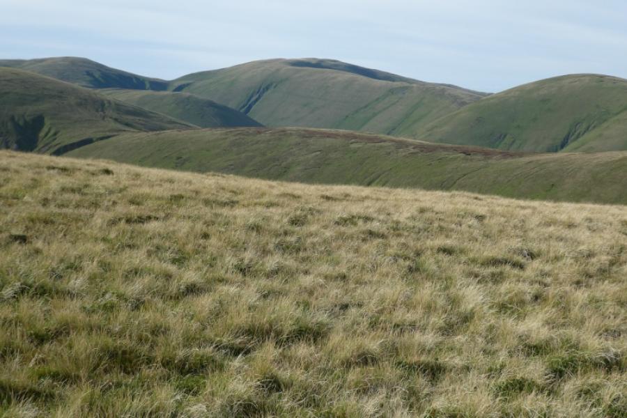
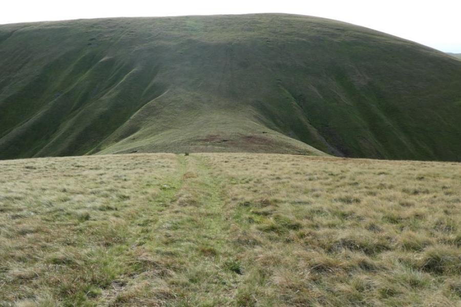
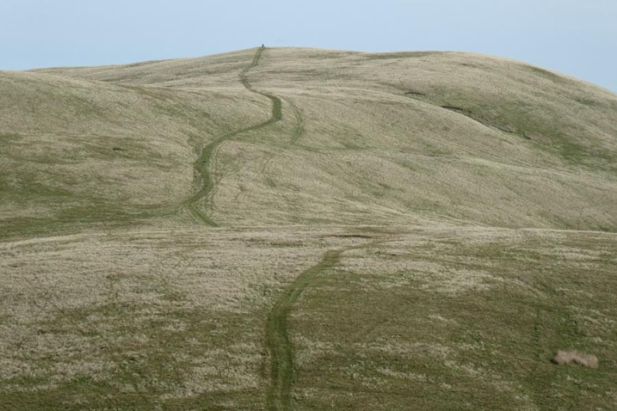
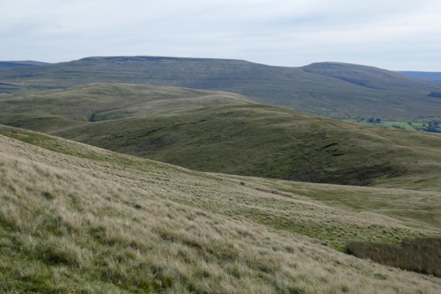
(2) Continue on the grassy track and descend to the col known as Leathgill Bridge. The crest is still fairly broad here so there is no exposure. The track seems to disappear in the col but a faint path continues up the steep slope ahead. Higher up, the gradient eases and soon a medium cairn is reached which is the summit of Randygill Top, 624 m. It is a very good viewpoint with the Calf range lying to the south east where most of the tops are of similar height so there are few dominant peaks. The nearest dominant peak is Yarlside which is about 2 km to the south. The twin tops of Wild Boar Fell and Swarth Fell lie well to the east.
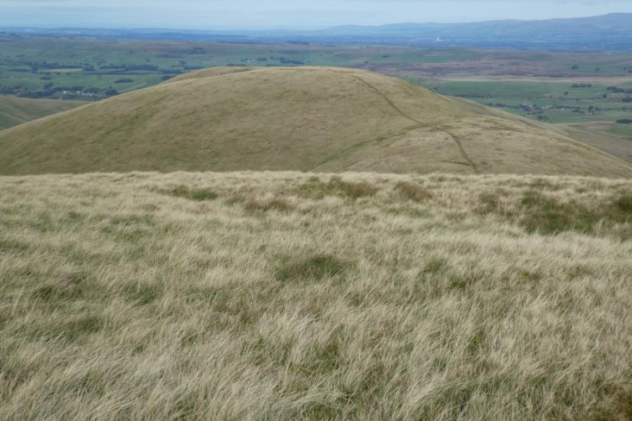
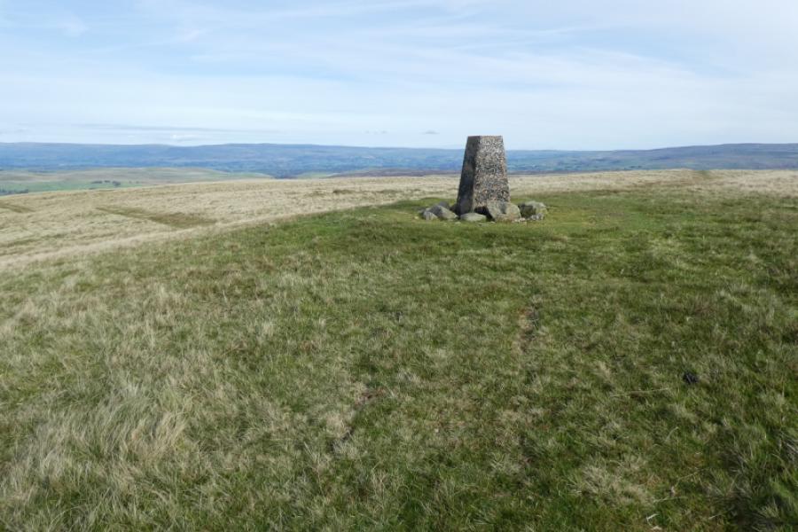
(3) Take the grassy track heading north east from the summit and follow it down then up to reach the trig point on Green Bell, 605 m.
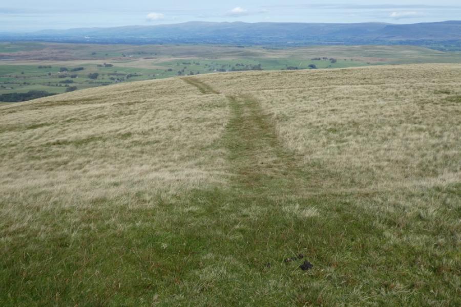
(4) Descend roughly north from the summit, again on a grassy track. This diagonally crosses another track lower down so go straight across this junction and continue down. Weasdale Farm soon comes into view and it looks like you are heading for it but, as soon as the intake walls are reached, the track swings over to the right and starts to become more stony but it is still very easy to follow. Lower down still, the track becomes muddy in places but dry ground is usually easy to find. Eventually, emerge onto the tarmac road. Turn left and soon reach the old ruin.
Notes
(a) This walk took place on 16th October, 2023.
(b) Sedbergh is a good base for the Howgills. It is a very small town which is somewhat of an enigma being in The Yorkshire Dales National Park but within the county of Cumbria and has a Lancashire post code! Kirkby Stephen is also a good base for northern approaches as is Tebay. Ravenstonedale itself is a smallish village but very scenic.
Photos - Hover over photo for caption. Click on to enlarge. Click on again to reduce.