Get Lost Mountaineering
You are here: Scotland » 01 South of Oban to Stirling and Fife » Loch Earn to Stirling
Callander Crag & Bracklinn Falls Circuit from Callander Crags Car Park
Callander Crag & Bracklinn Falls Circuit from Callander Crags Car Park
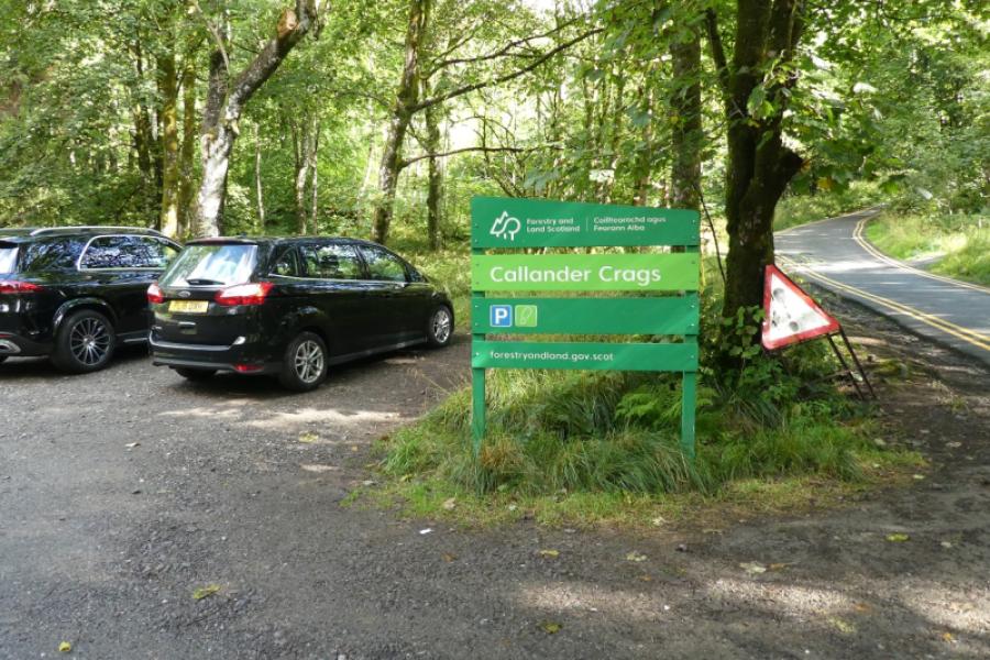
Start/Finish
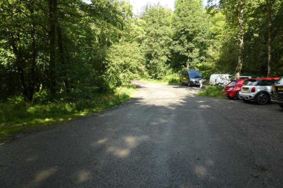
The Callander Crags car park which is reached by a road from the main street of Callender. If driving south, go past most of the shops and look for a left turn signed for the Bracklinn Falls as well as the Golf Club. If driving north, look for a right turn before the shops. The road climbs fairly steeply but is well signed. The final section to the car park is very narrow indeed with few passing places. The car park is free but soon fills up.
Distance/Time
8 km About 2 - 3 hours
Peaks
Callander Crag, 344m, NN 627 094. OS sheet 57: Stirling and the Trossachs (not much use!)
Introduction
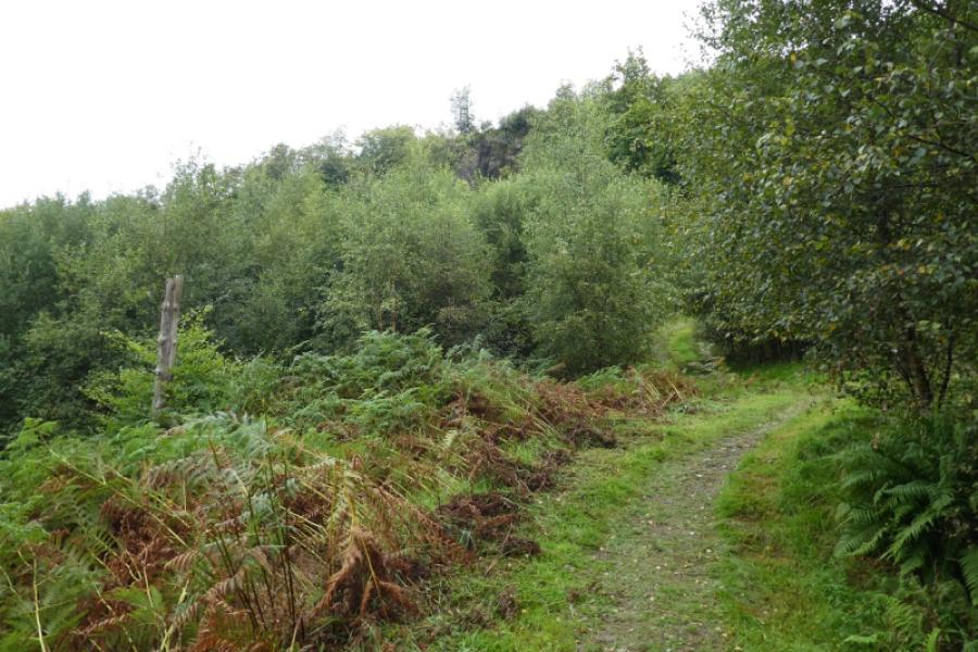
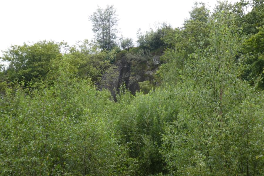
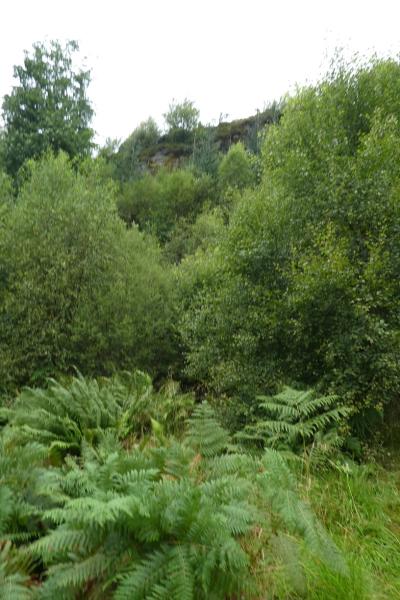
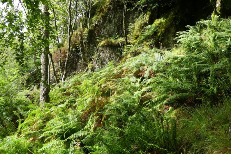
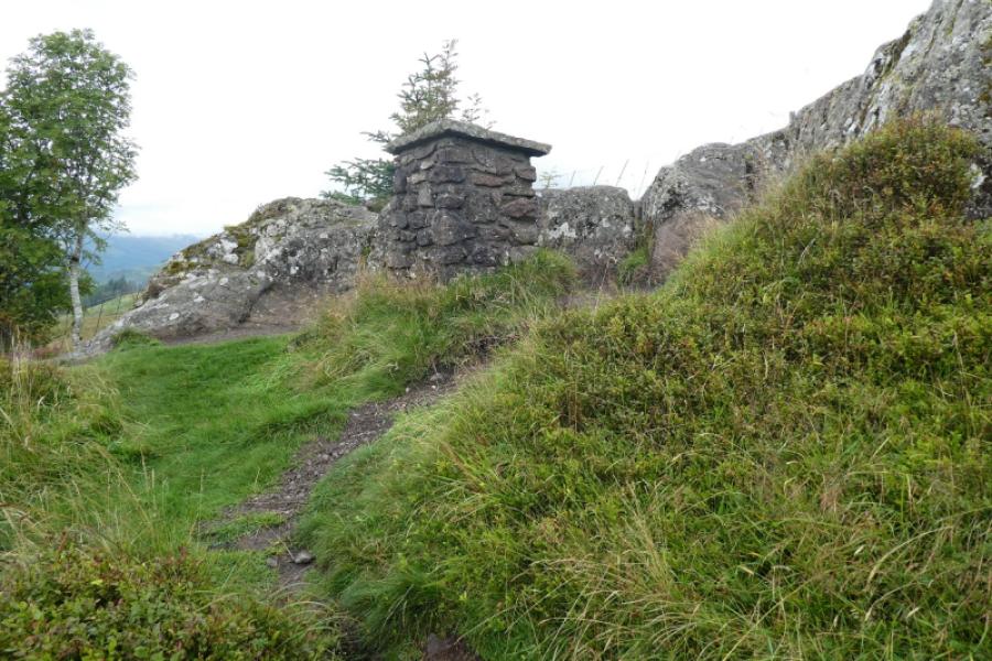
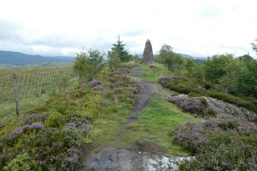
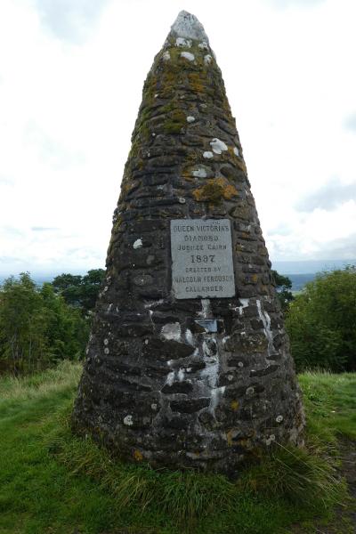
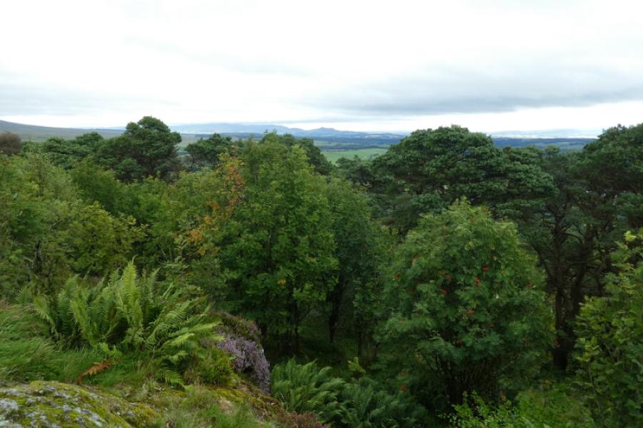
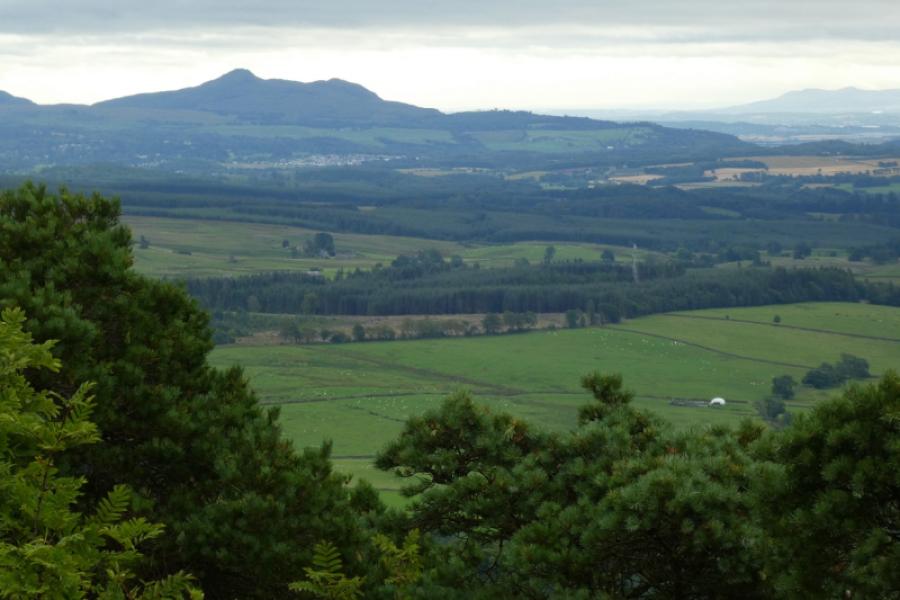
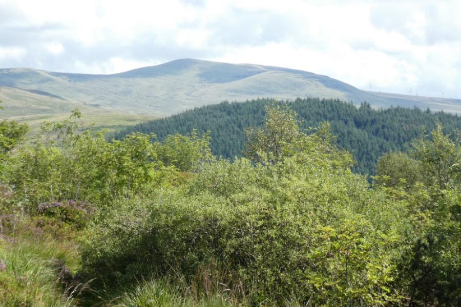
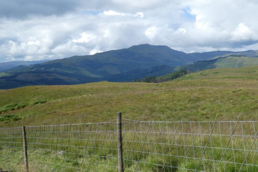
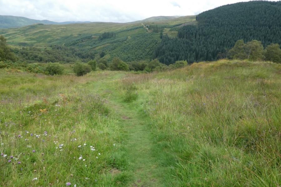
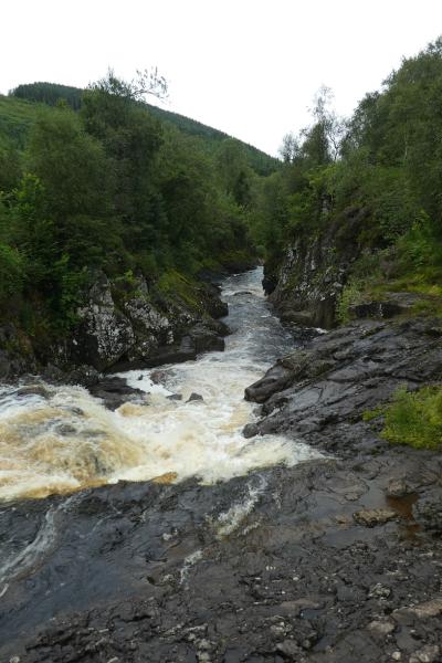
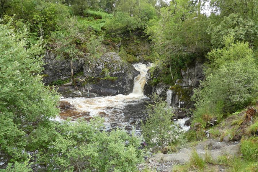
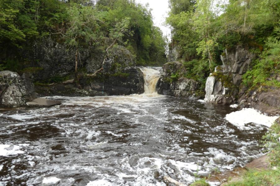
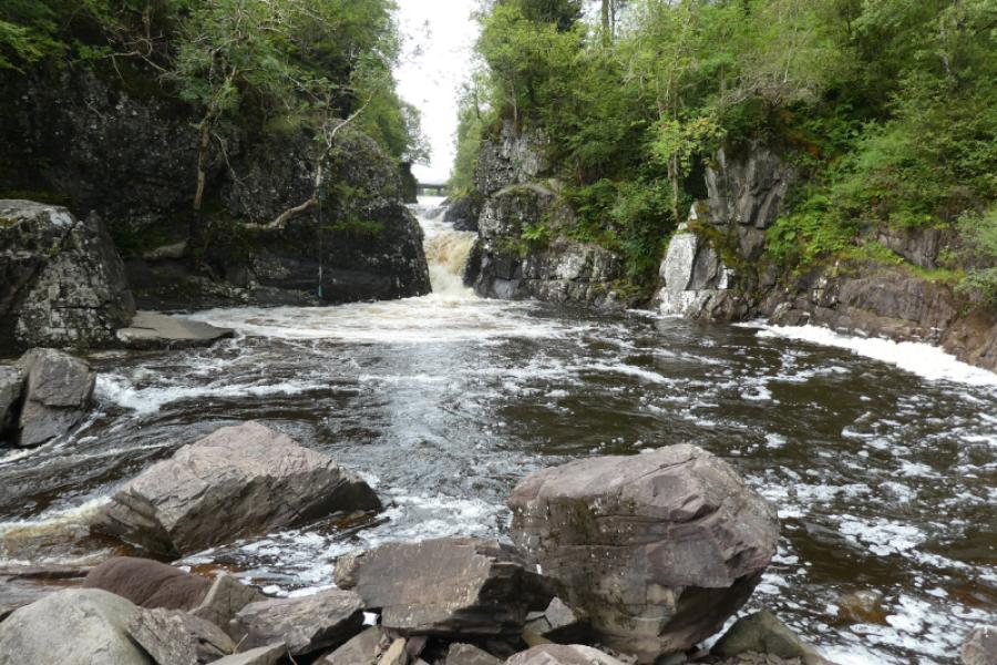
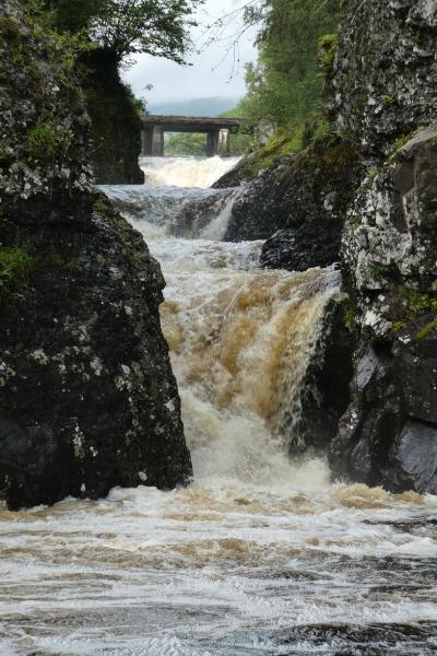
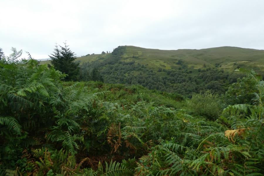
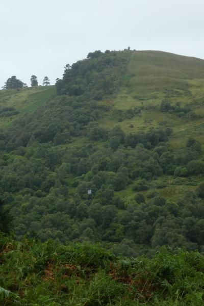
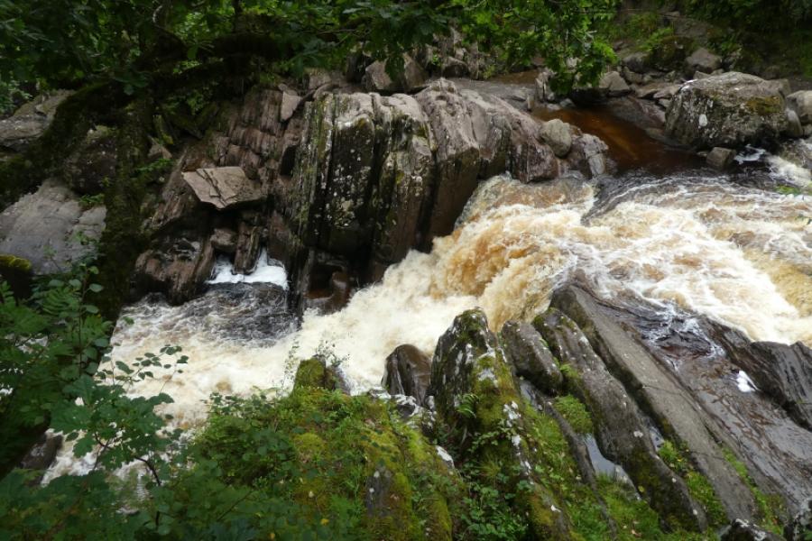
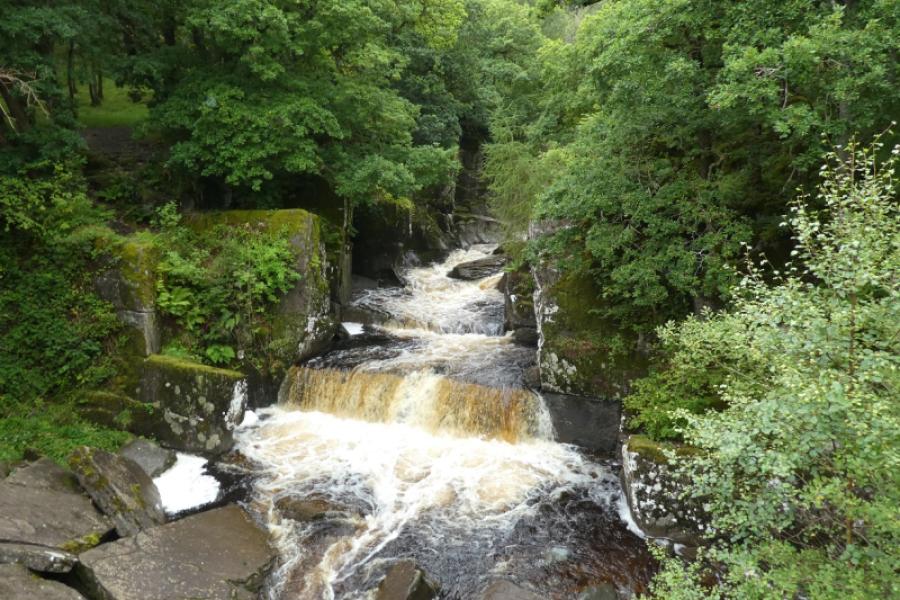
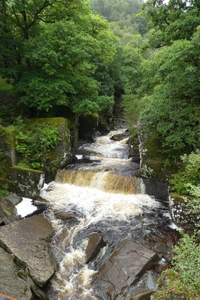
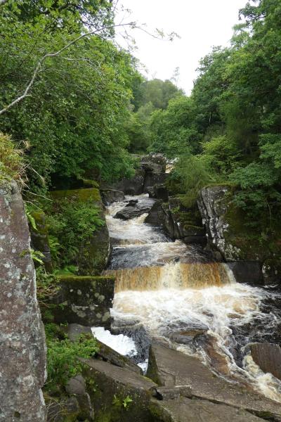
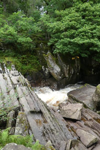
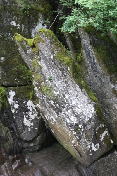
The Callander Crags walk is fairly popular although not as popular as the nearby Bracklinn Falls walk. The route is way marked to the crest of Callander Crag. This route takes the direct approach to the crags which avoids any reascending unlike the longer route described in a separate walk. There is no information in the car park especially about which is the direct route and which is the longer route! The path can be quite steep in places and is stepped on the final section to the crest. There is a large Jubilee cairn (Queen Victoria) on the summit. The view from the top is panoramic with Ben Ledi, Stuc a' Chroin/Ben Vorlich and Uamh Bheag all well seen. Unfortunately, it is difficult to get even a passing glimpse of a crag especially in summer when the trees are in leaf. The descent north east from the summit crosses a significant number of slab like ground rocks which need care especially when wet. Once down to the minor road, the route is much more straightforward although there is some significant ascent after crossing the bridge over Keltie Water. It is well worth taking the short detour from the bridge to look at the succession of waterfalls and pools known as the Scout Pools. Bracklinn Falls are very impressive indeed especially after heavy rain.
Route
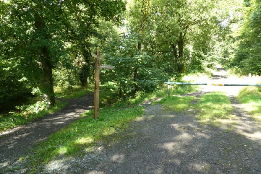
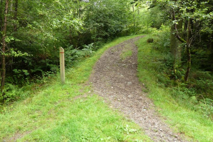
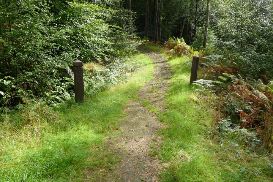
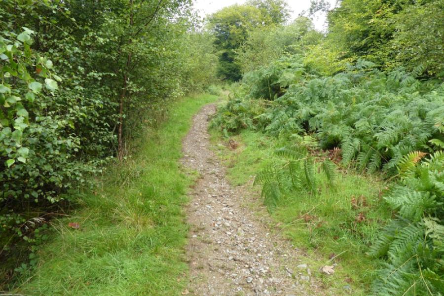
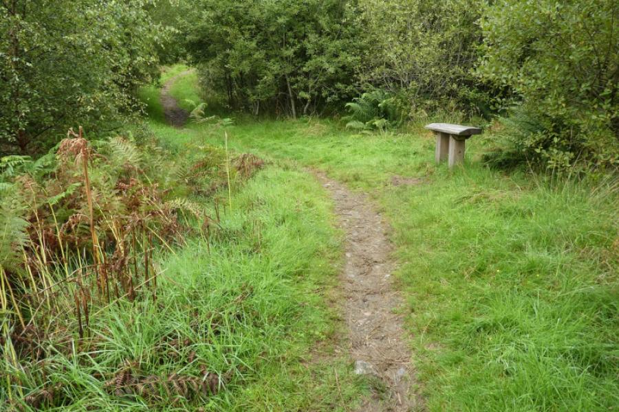
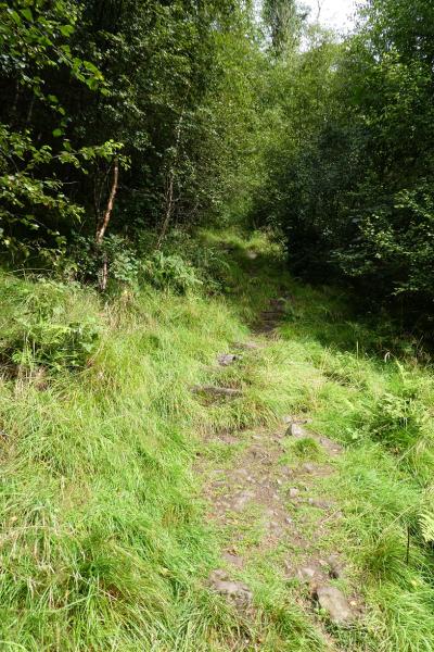
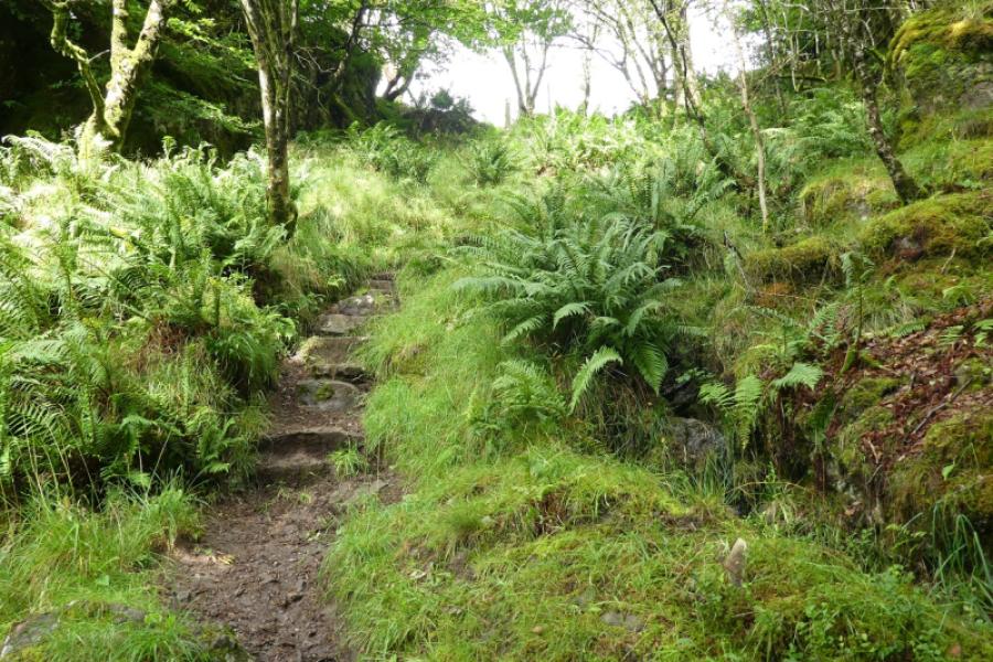
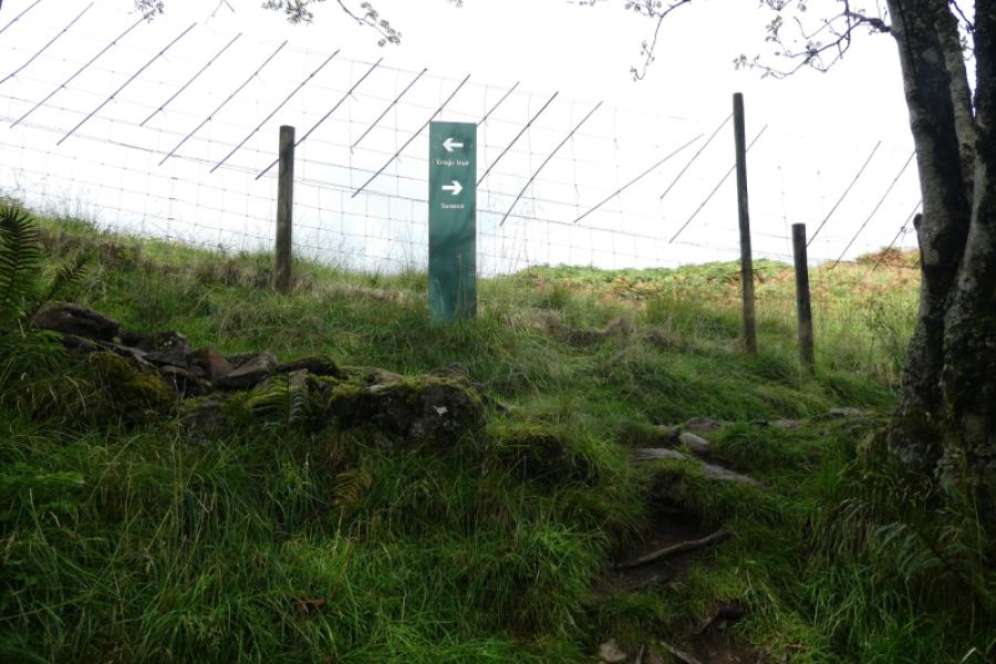
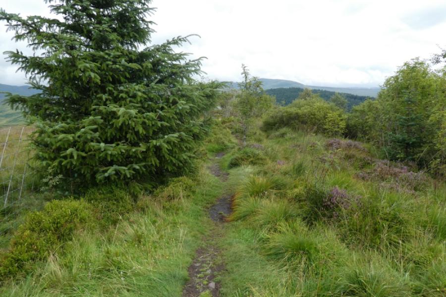
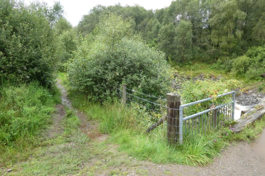
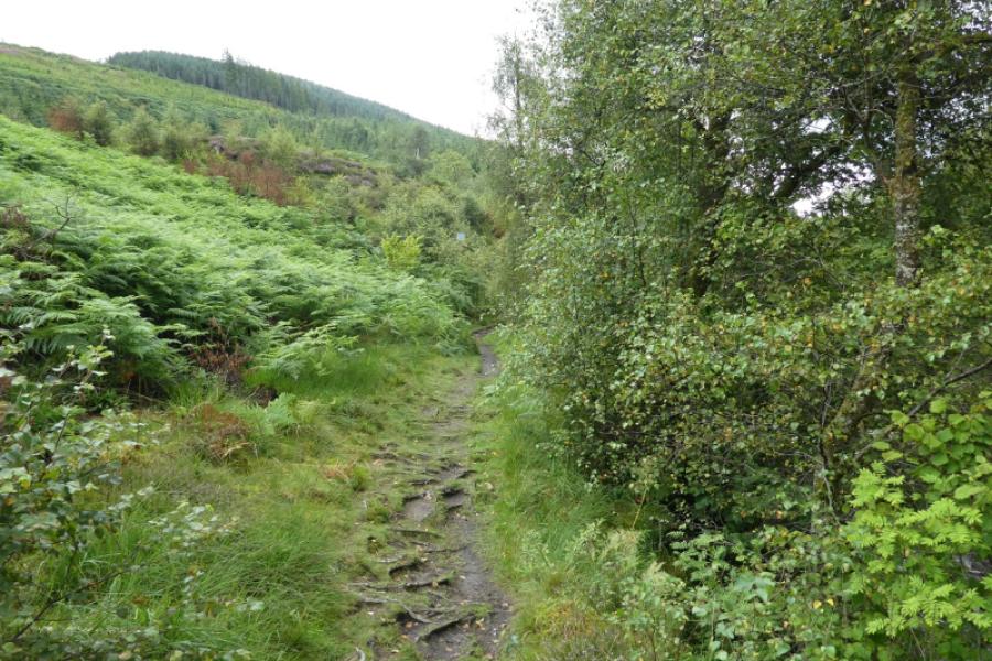
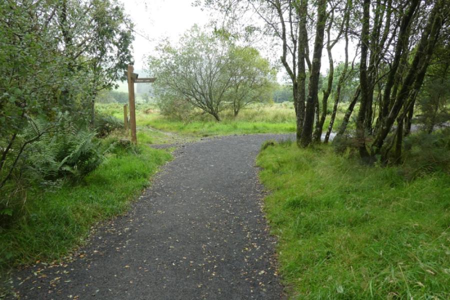
(1) Walk out of the car park, away from the road, and go past the barrier to follow the track. There are waymarks (red). Soon the path/track splits. Turn right which is the direct route. Follow the path/track uphill; it is steep in places but very easy to follow. The final section to the crest is stepped and the only glimpse of a crag is from the steps. Reach the crest where a sign points right for the summit. Go through a gate and keep going to reach the jubilee cairn which marks the “summit” of Callander Crag, 344m.
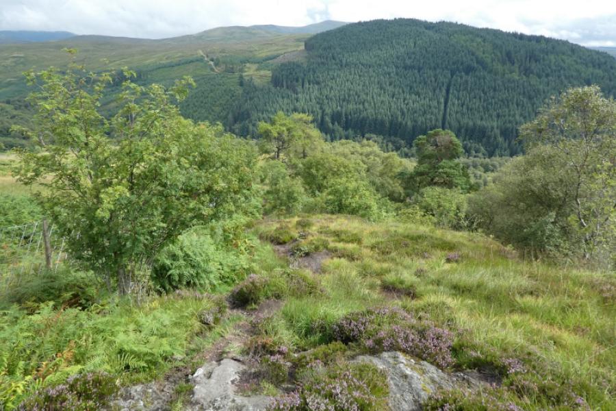
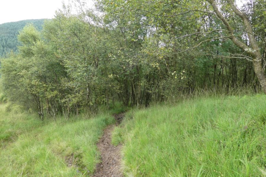
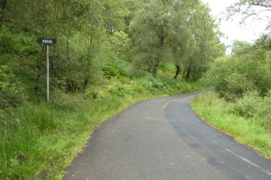
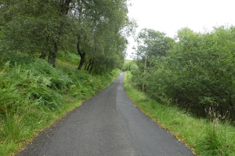
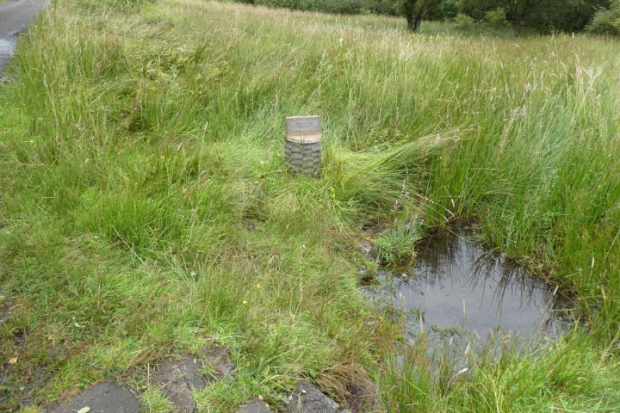
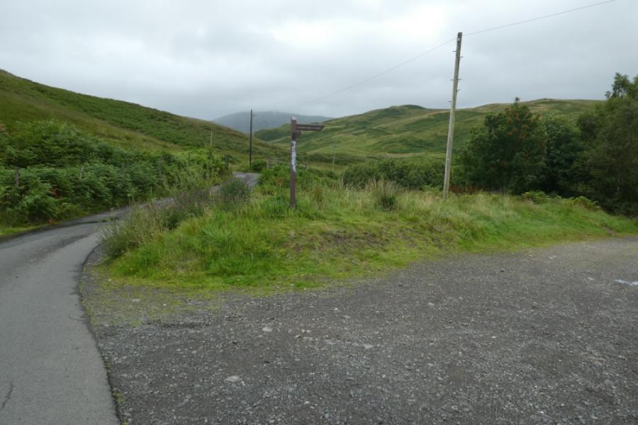
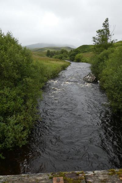
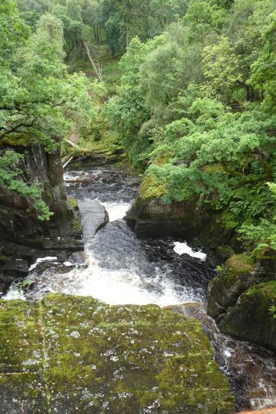
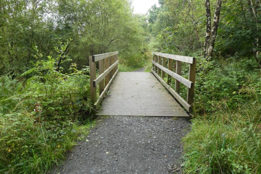
(2) Continue ahead, descending north east on an obvious path. A significant part of this path crosses slab like rocks which can be slippery when wet. Enter a birch wood and soon reach a minor road. Turn left and follow the minor road which is mainly downhill despite you walking upstream! Pass a stone marker indicating an old well and reach a track on the right signposted for Bracklinn Falls. Descend to a bridge where the walkway can sometimes be underwater as it drains slowly after rain.
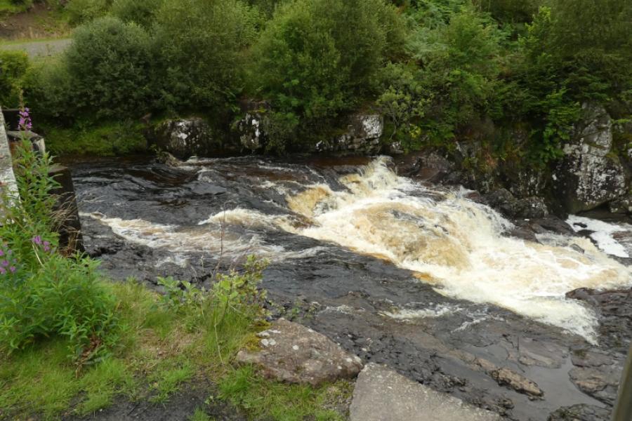
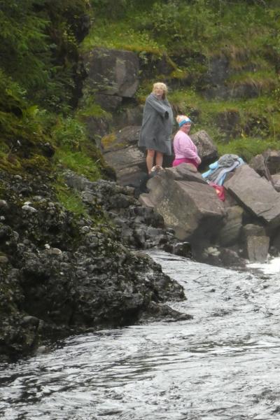
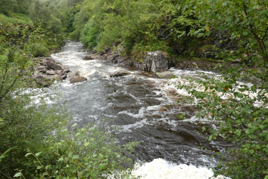
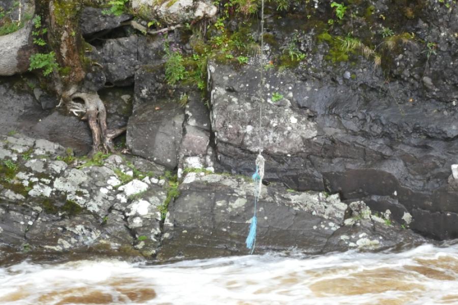
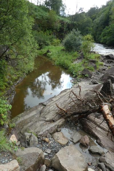
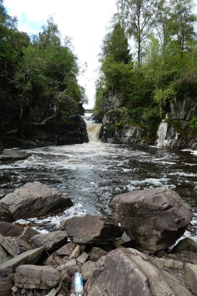
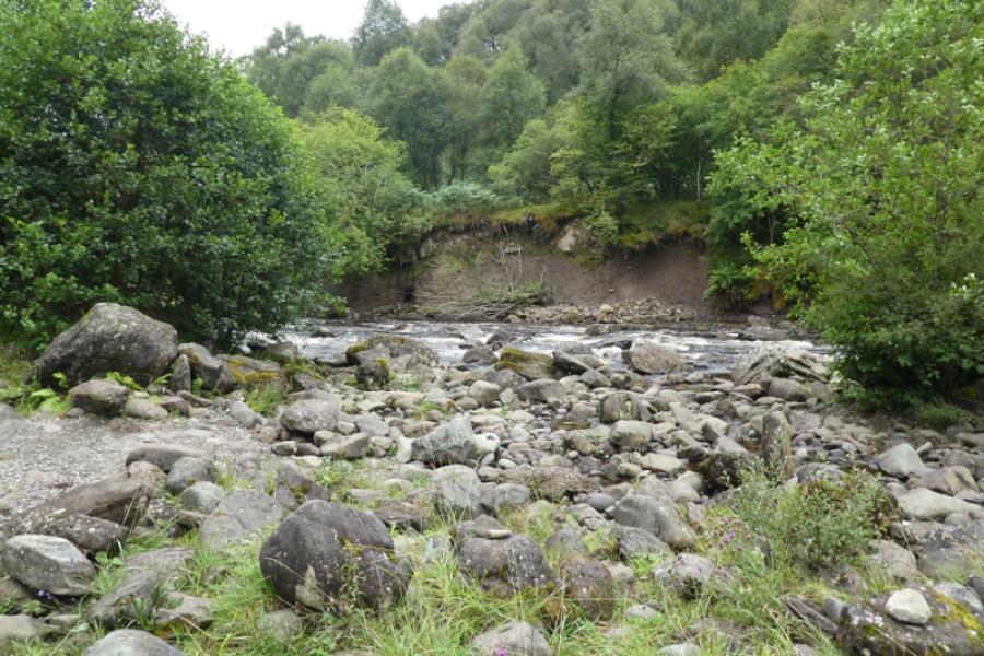
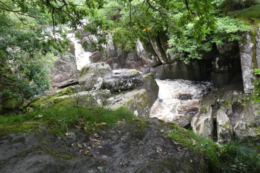
(3) Immediately after the bridge, follow a faint and muddy path downstream for about 250 m. This path is exposed in places so care is needed. It ends above a wide pool. On 19/8/23, there was a rope down the eroded bank and there was a rope swing on the other side of the river. Look around for the point from where you can see up the waterfalls to the bridge. Retrace back to the bridge. The section of Keltie water between the bridge and the end of the path is referred to as the Scout Pools in some sources.
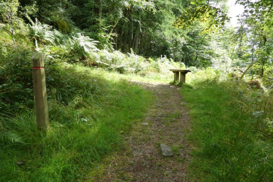
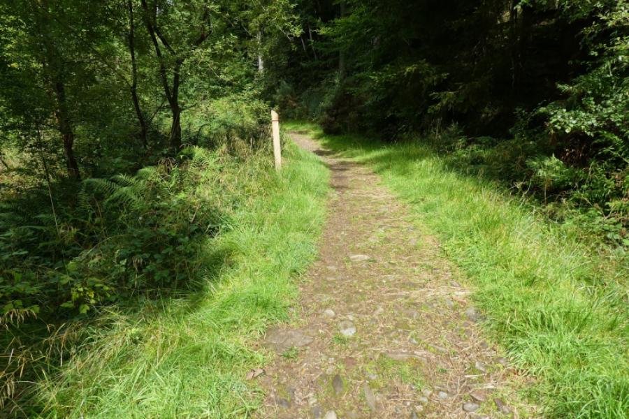
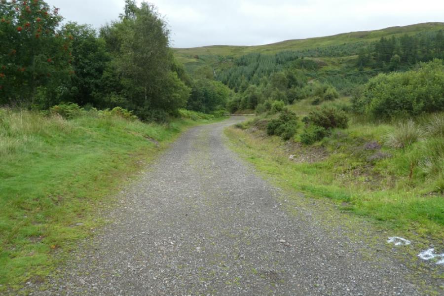
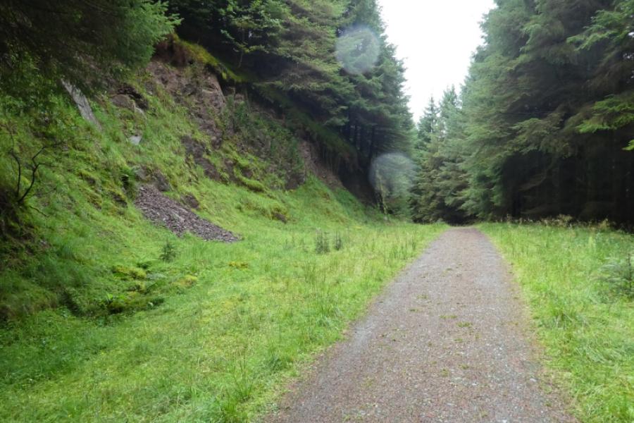
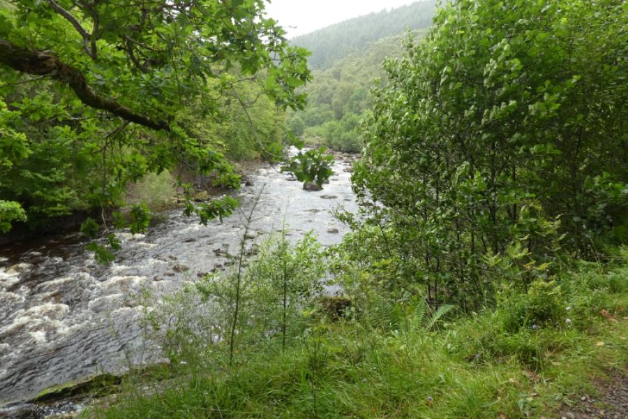
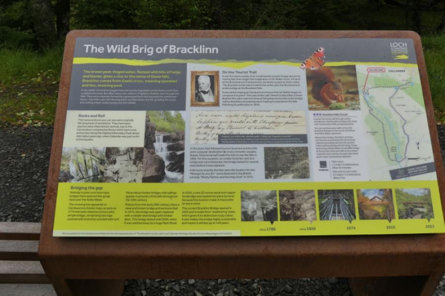
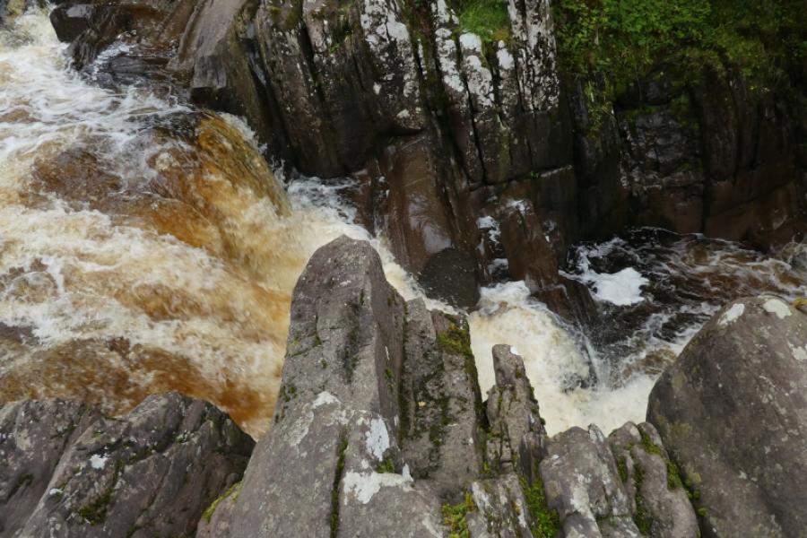
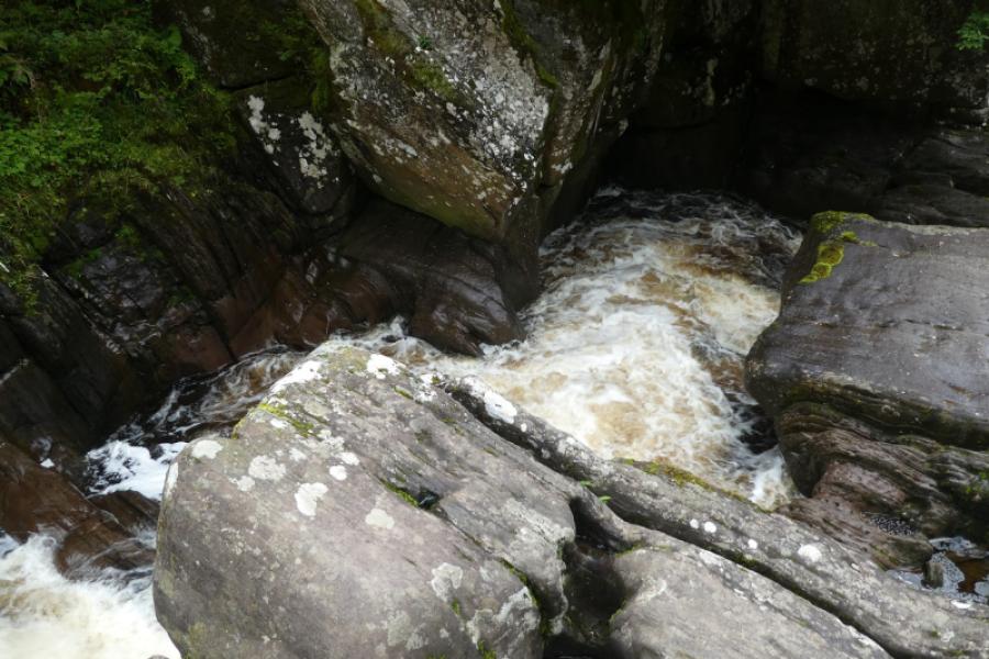
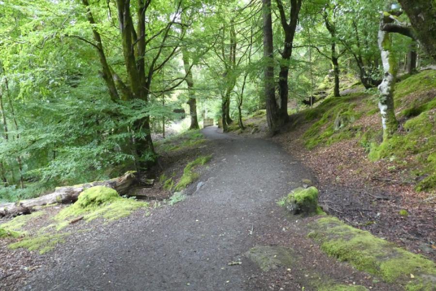
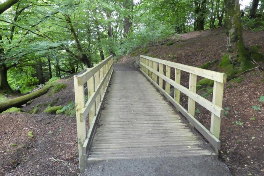
(4) Walk up the curving track from the bridge, with good views back to Callander Crag, to reach a large forest. Enter the forest on the track and walk through, descending gradually, until the track becomes a path and starts descending more steeply. Follow the path down until it is alongside Keltie Water just above the bridge. Cross the bridge where there is an information board. Follow the main track up the other side, signed for Callander. There are places where short paths take one closer to the river but be careful as the rocks are slippery and a fall into the water is likely to be fatal.
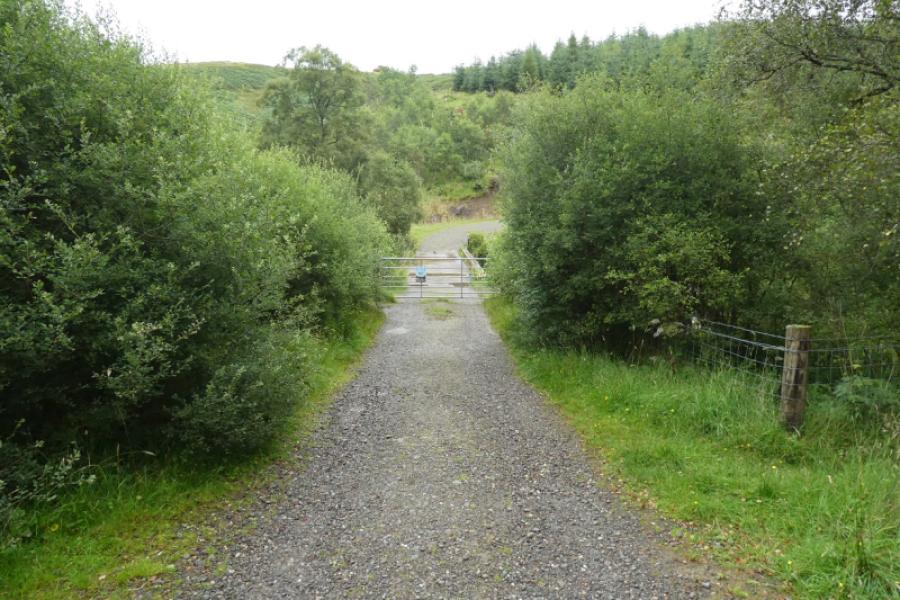
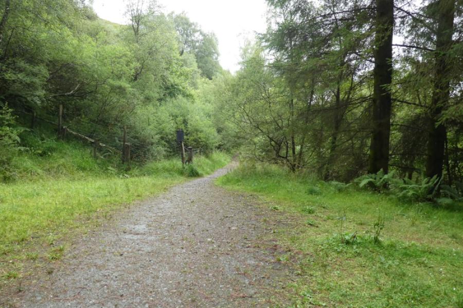
(5) Continue on the main track to pass the Bracklin Falls car park. Follow the path signed for Callander (to avoid walking down the road). Cross some bridges and reach the road opposite the Callander Crags car park.
Notes
(a) This walk took place on 19th August, 2023.
Photos - Hover over photo for caption. Click on to enlarge. Click on again to reduce.