Get Lost Mountaineering
You are here: Scotland » 01 South of Oban to Stirling and Fife » Loch Earn to Stirling
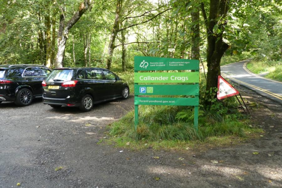
Callander Crag from Callander Crags Car Park
Callander Crag from Callander Crags Car Park
Start/Finish
The Callander Crags car park which is reached by a road from the main street of Callander. If driving south, go past most of the shops and look for a left turn signed for the Bracklinn Falls as well as the Golf Club. If driving north, look for a right turn before the shops. The road climbs fairly steeply but is well signed. The final section to the car park is very narrow indeed with few passing places. The car park is free but soon fills up.
Distance/Time
6 km About 2 - 3 hours
Peaks
Callander Crag, 344m, NN 627 094. OS sheet 57: Stirling and the Trossachs (not much use!)
Introduction
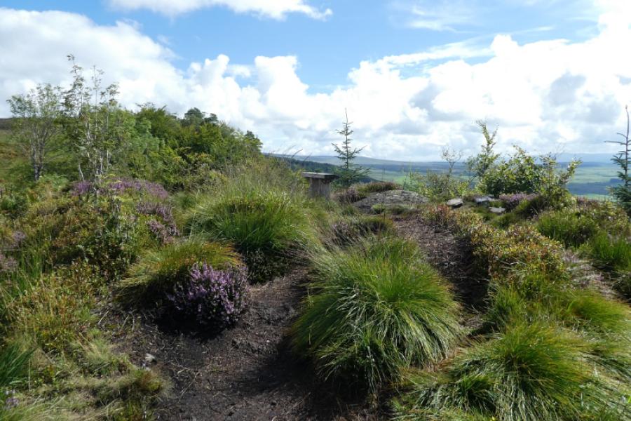
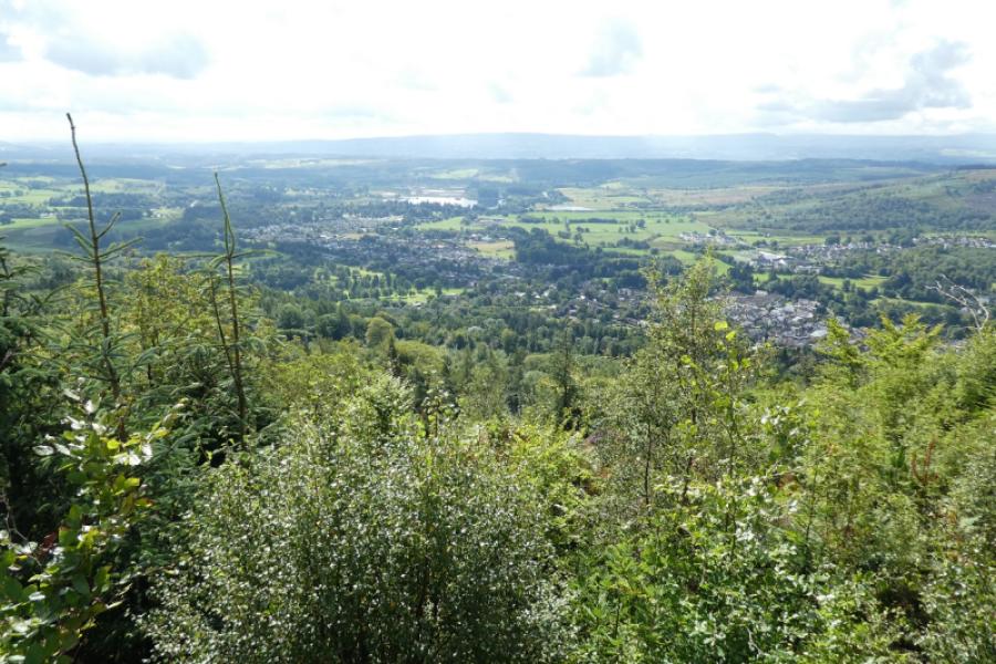
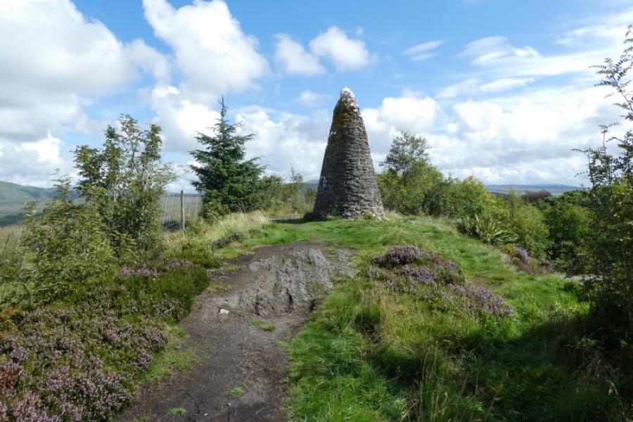
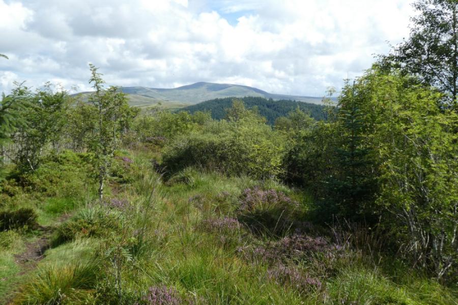
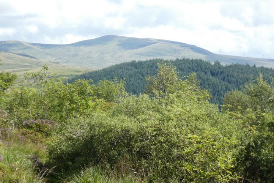
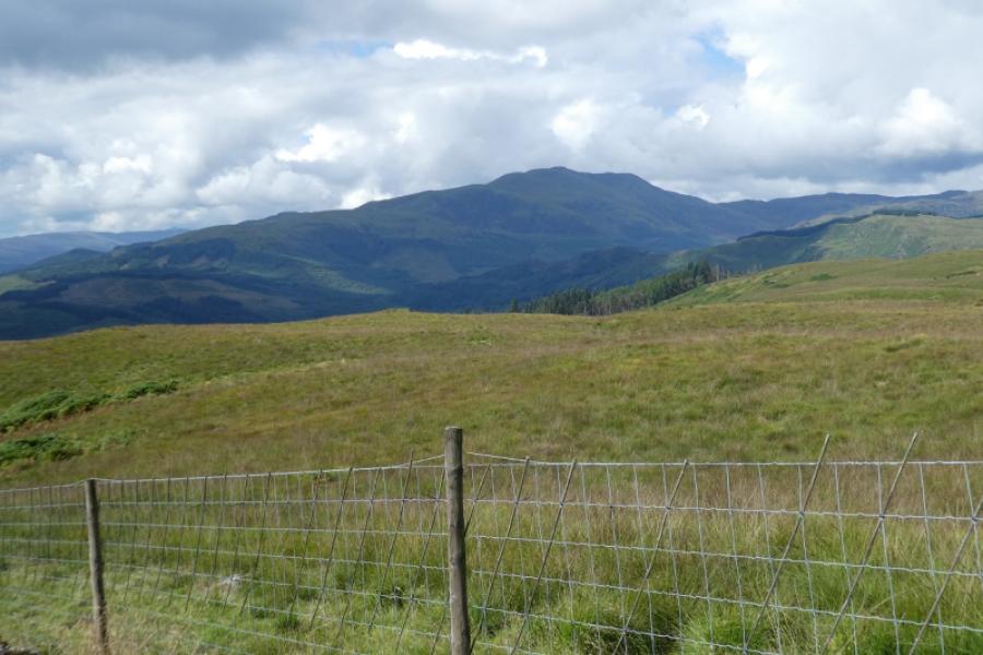
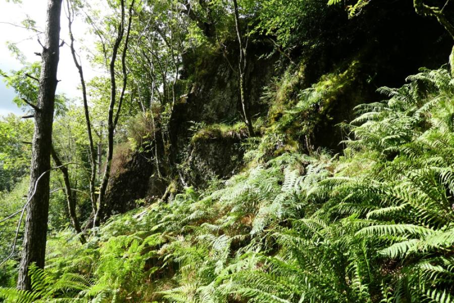
The Callander Crags walk is fairly popular although not as popular as the nearby Bracklinn Falls walk. The route is way marked apart from the short detour to the summit. This route takes the longer approach to the crags which involves considerable reascent. There is no information in the car park especially about which is the direct route and which is the longer route! The path can be quite steep in places. The view from the top is panoramic with Ben Ledi, Stuc a' Chroin/Ben Vorlich and Uamh Bheag all well seen. Unfortunately, it is difficult to get even a passing glimpse of a crag especially in summer when the trees are in leaf. There is a Jubilee cairn (Queen Victoria) on the summit.
Route
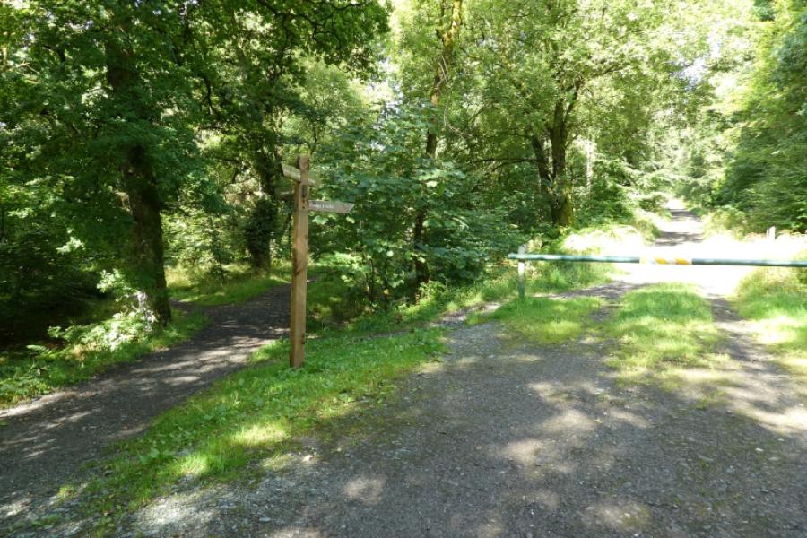
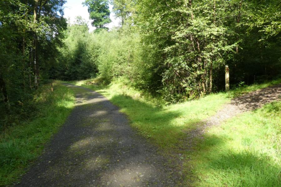
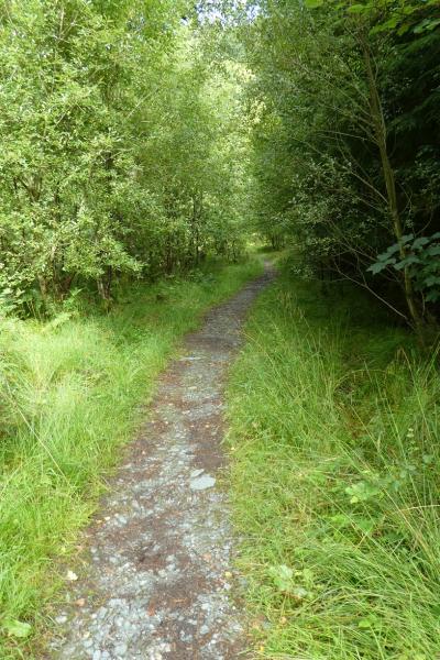
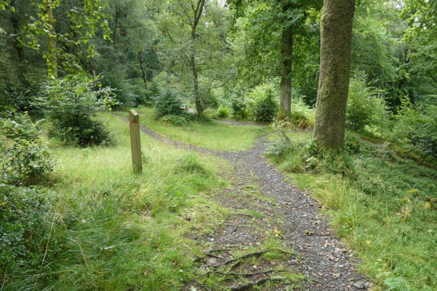
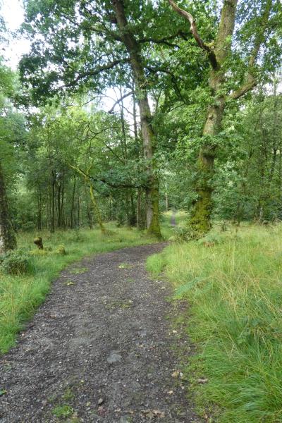
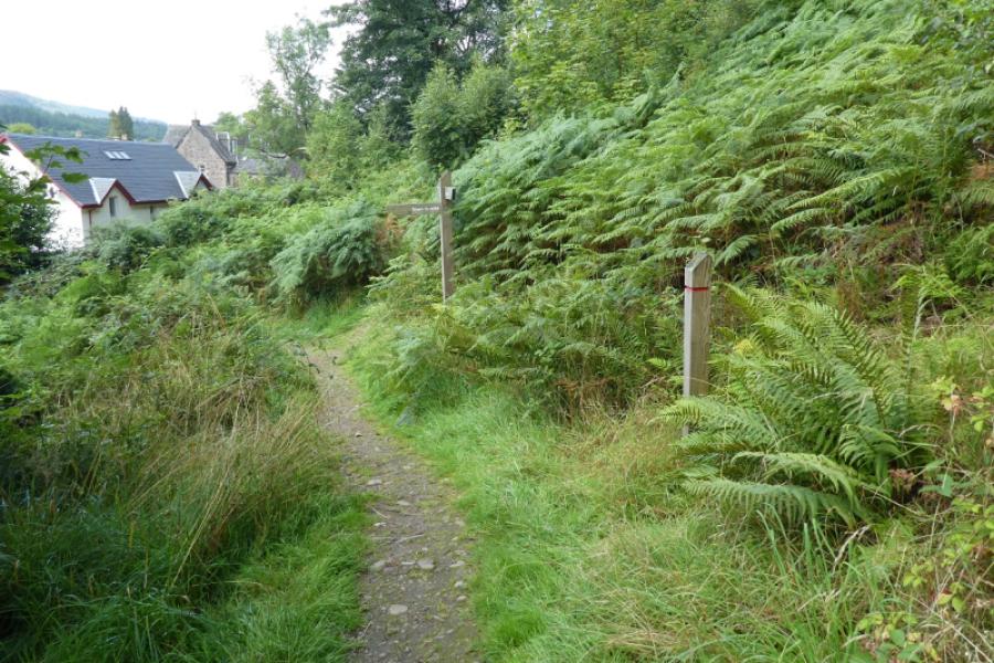
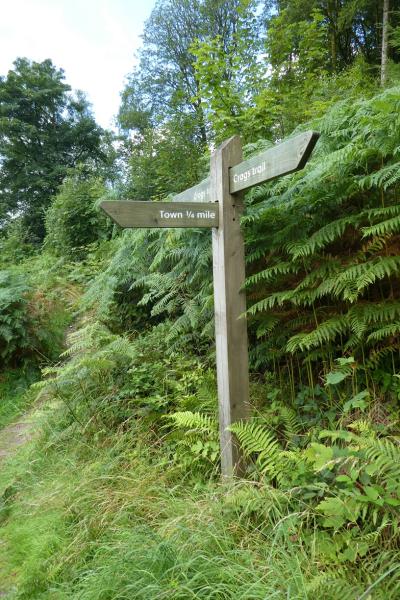
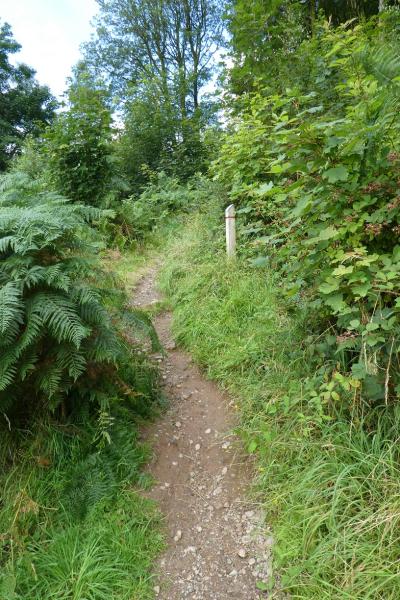
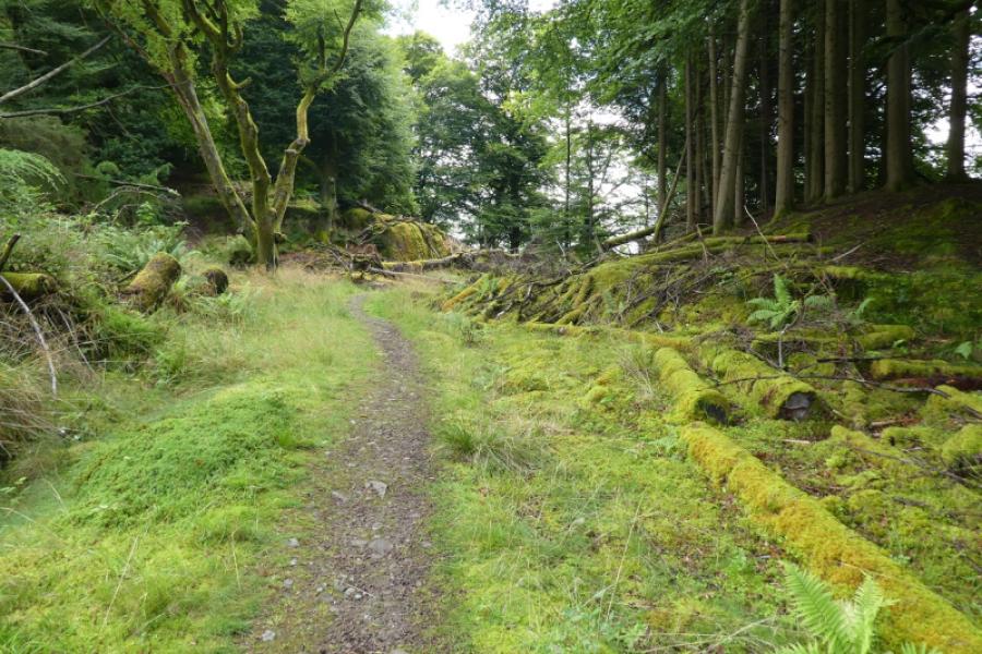
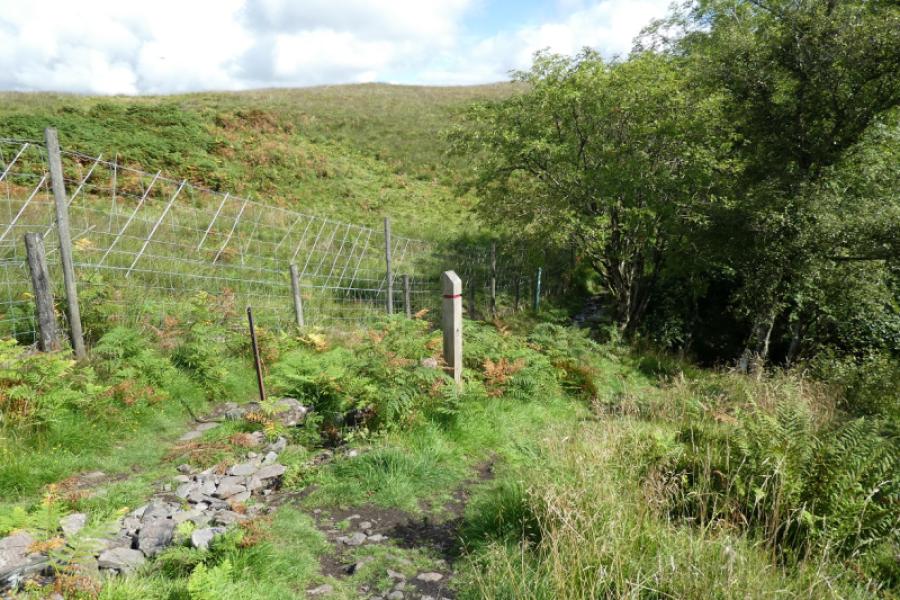
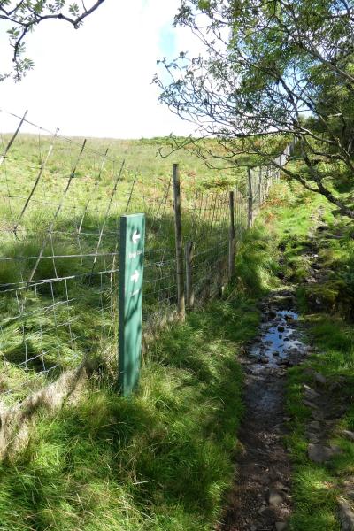
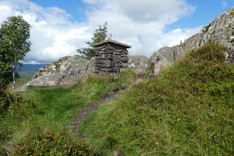
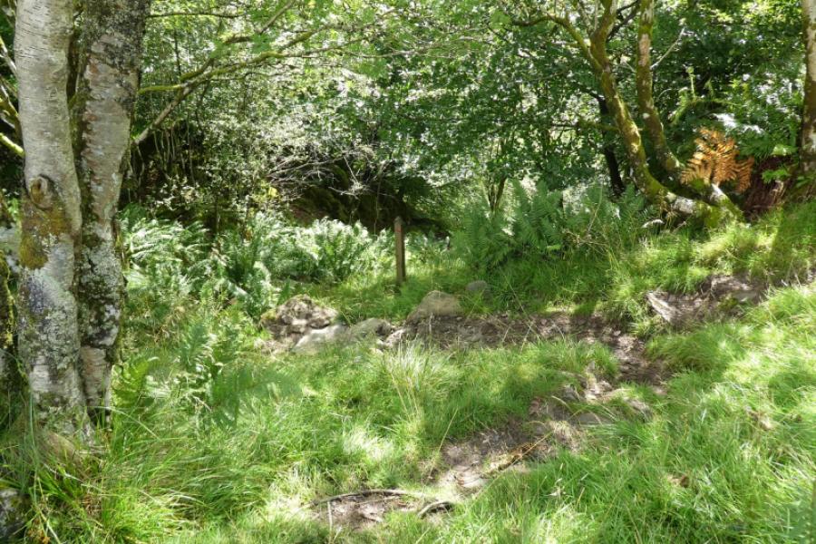
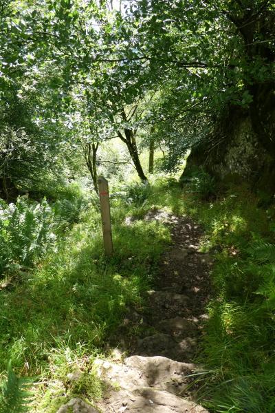
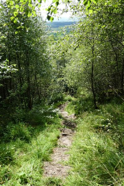
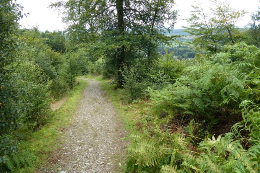
(1) Walk out of the car park, away from the road, and go past the barrier to follow the track. There are waymarks (red). Soon the path/track splits. Going right is the direct route but this route continues ahead. Follow the path/track as it climbs steadily before descending. At a junction of paths, go right and continue descending to the north end of Callander. You have now lost all height gained by walking and driving! Take the faint path, just before before reaching the houses. This climbs steeply and seems to go on for ever. Eventually, it leaves the trees behind and follows an overgrown edge. Pass the point where the path descends more directly to the start and keep going to reach the jubilee cairn which marks the “summit” of Callander Crag, 344m.
(2) Retrace back to where the direct route descends and go down. It is steep but stepped until the gradient eases. Follow the path down to join the outward track. Turn left and soon reach the car park.
Notes
(a) This walk took place on 14th August, 2023.
Photos - Hover over photo for caption. Click on to enlarge. Click on again to reduce.