Get Lost Mountaineering
You are here: Scotland » 04 Loch Leven and Loch Linnhe to Loch Ericht » Ben Nevis to Loch Trieg
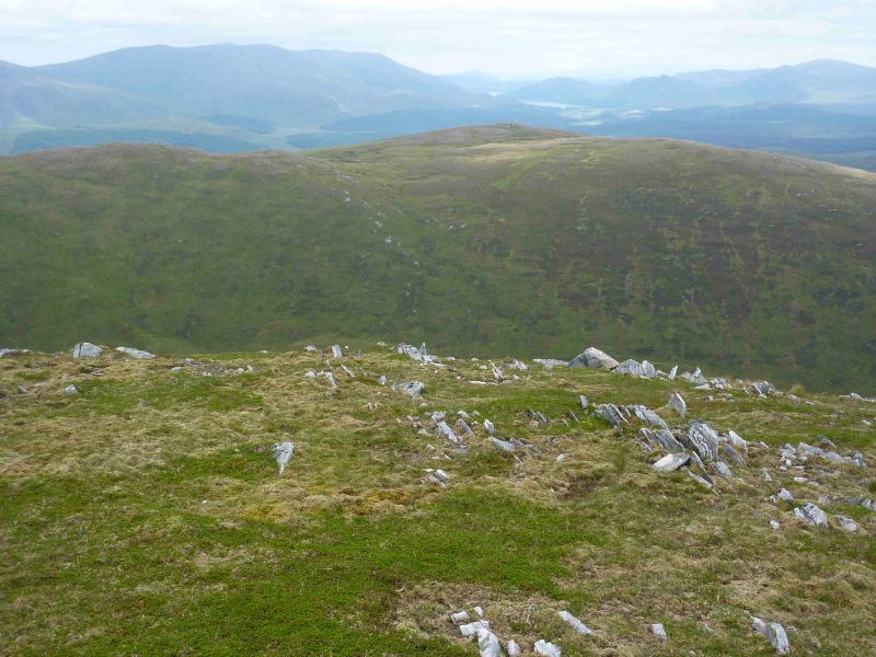
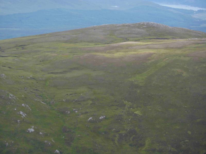
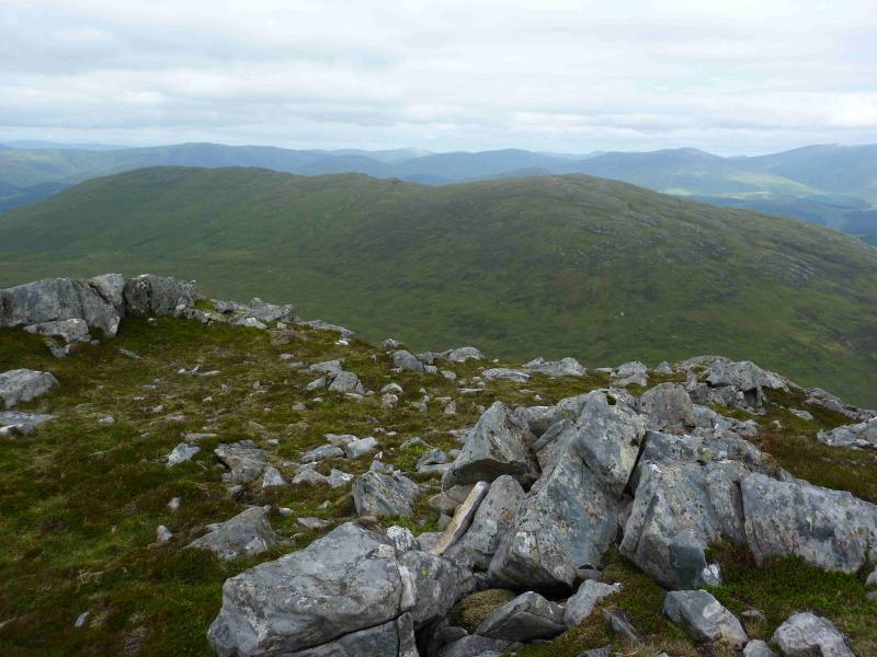
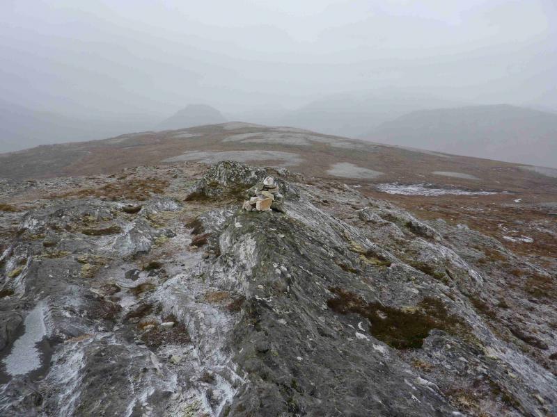
Cnap Cruinn
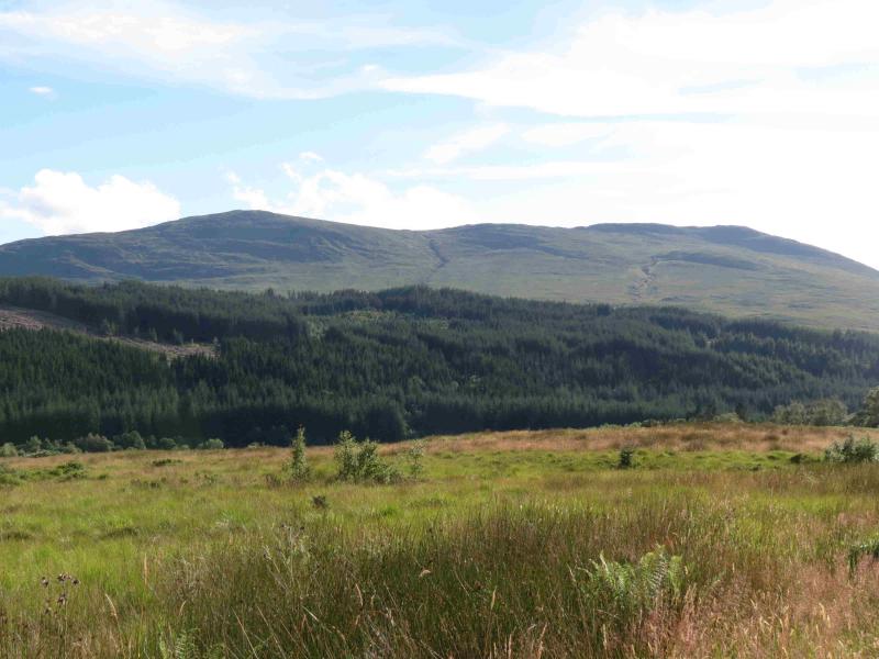
Cnap Cruinn from Inverlair
Start/Finish
From Spean Bridge, follow the A86 east for about 8 miles, past Roy Bridge, before taking a right turn, signposted Fersit. After about a mile, the road passes between a white house on the right and a white farm on the left. Shortly after, and opposite a long cream house, a forestry track forks off right. It is possible to park one car here. Otherwise, drive further along the road until just past a cattle grid where there are more parking opportunities.
Distance/Time
14 km About 5 hours
Peaks
Cnap Cruinn, 742 m, NN 302 774. OS Sheet 41.
Introduction
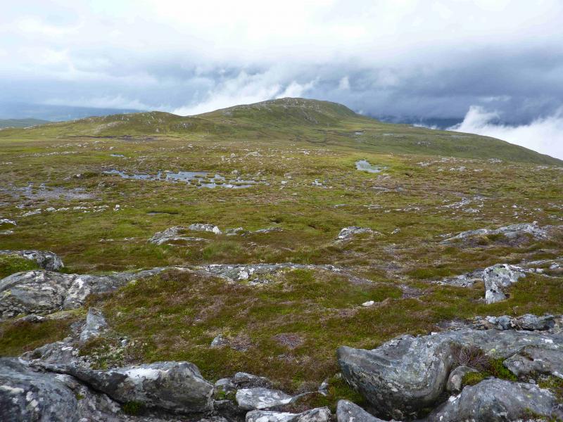
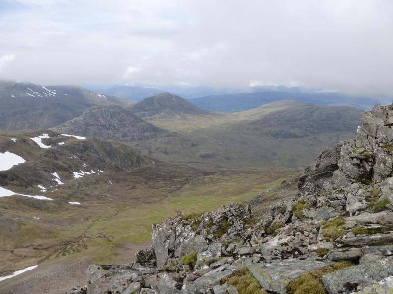
Although Cnap Cruinn is a rather undistinguished hill there are outstanding views in many directions from this walk including Grey Corries, The Easains, Beinn Chaorainn and Creag Meagaidh.
Route
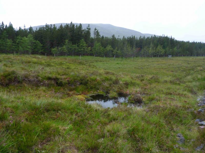
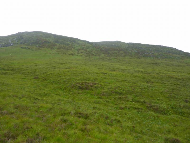
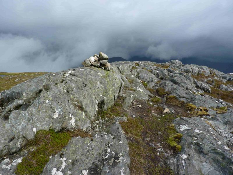
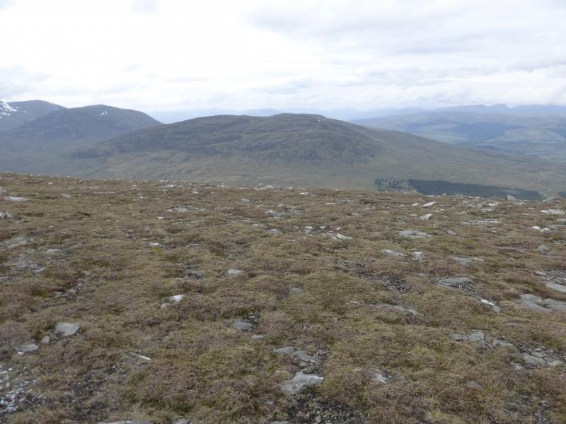
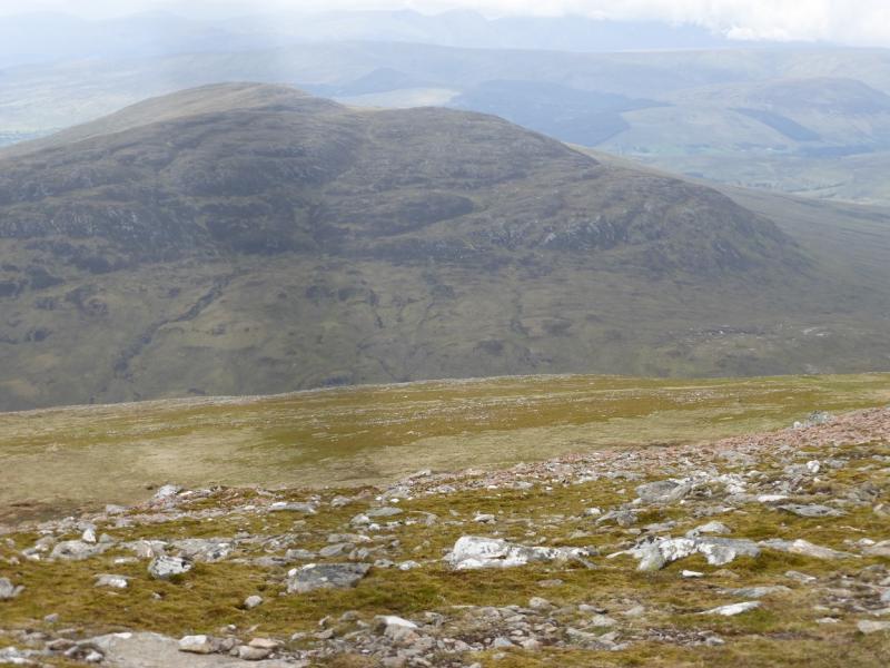
(1) Walk up the forestry track heading SW for about 3 km. There are good views as the track is not tightly enclosed by the trees. The track then heads NW for about 1 km before emerging from the wood. One can pick a way, SW, uphill almost anywhere. On a clear day, a prominent cairn, shown on the 1991 OS map can be aimed for as this is close to the summit. The going is initially boggy with tussocky grass but soon improves. Any rocky difficulties, of which there are few, are easily avoided. Higher up the ground improves, but steepens, and one can either head for the prominent cairn or go directly to the summit area which contains many low rocky ribs on one of which is a small cairn (much smaller than the prominent cairn) which marks the summit of Cnap Cruinn, 742 m.
(2) Return by the same route or for a little variety, go to the prominent cairn the head down a ridge to a small “standing stone” before picking away down the hillside. Stay well to the right of the main stream. There is a faint path which goes down the left, NW, side of a minor burn to join the outward track which is followed back to Inverlair.
Notes
(a) This walk took place on 21st July, 2001, and 22nd July, 2012.
(b) The descent route could also be used for the ascent taking advantage of its path and gentler gradient. To locate it, walk along the track, after it emerges from the forest, for about 1 km. Just before a right hand bend, there is a flat “car parking” area on the left. The path goes uphill just before this.
Photos - Hover over photo for caption. Click on to enlarge. Click on again to reduce.