Get Lost Mountaineering
You are here: England » Yorkshire Dales » Western Area
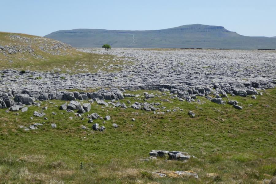
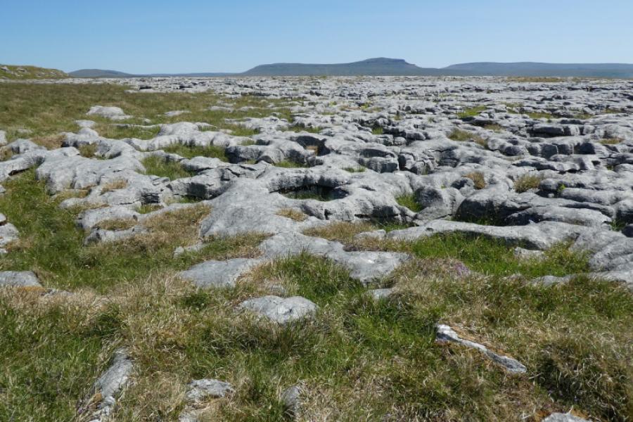
Ingleborough (only) from near Crummack
Ingleborough (only) from near Crummack
Start/Finish
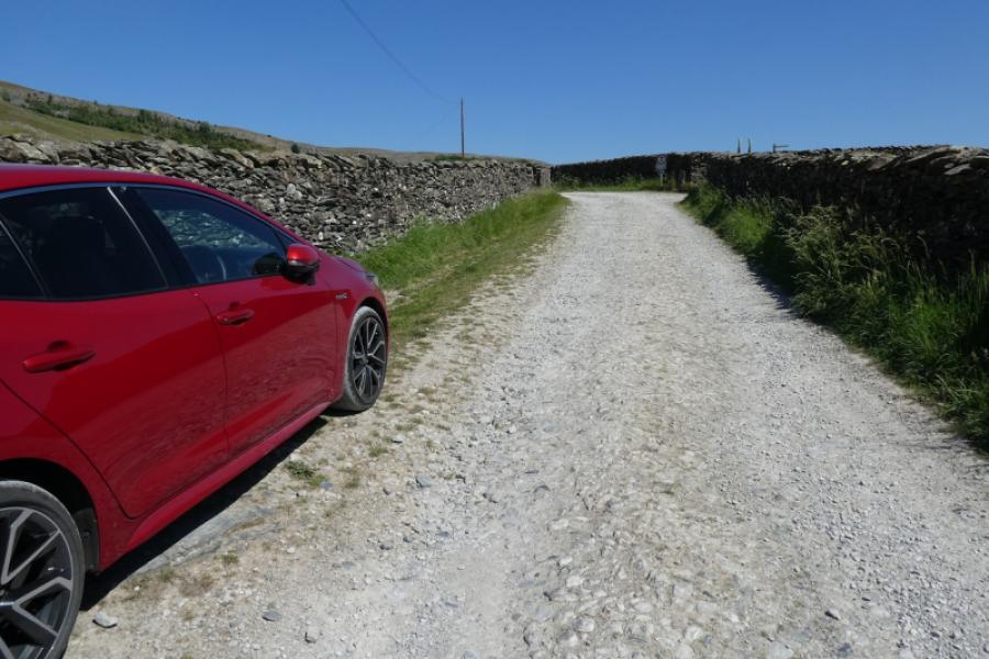
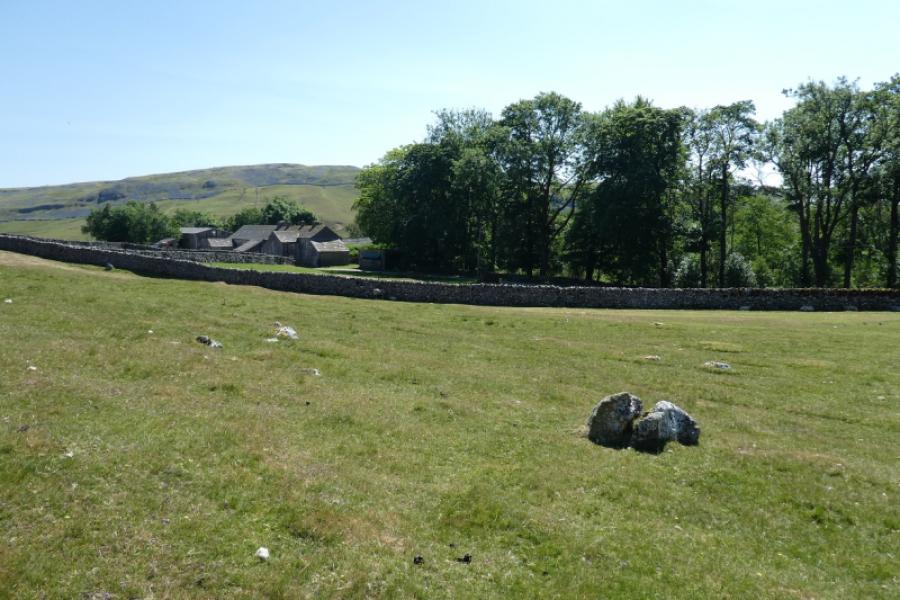
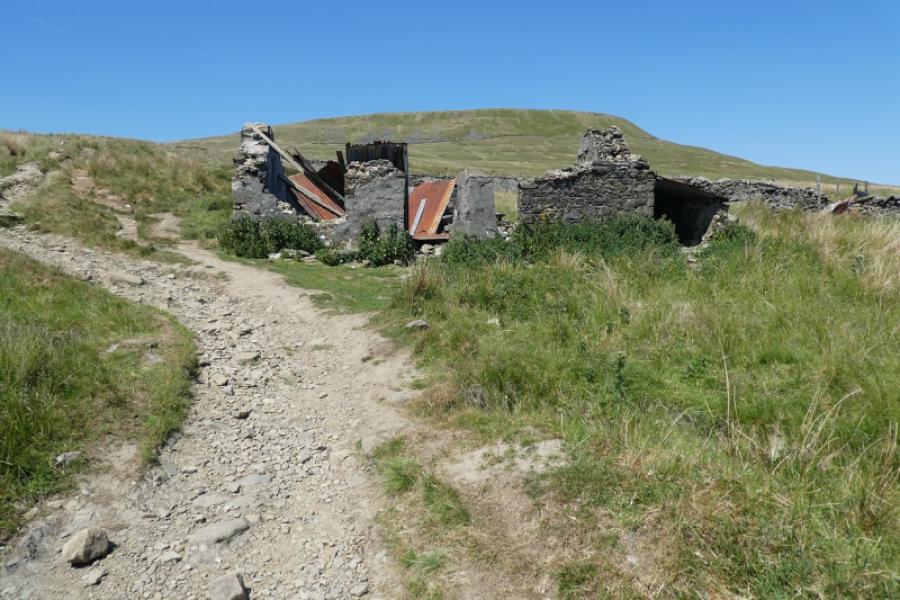
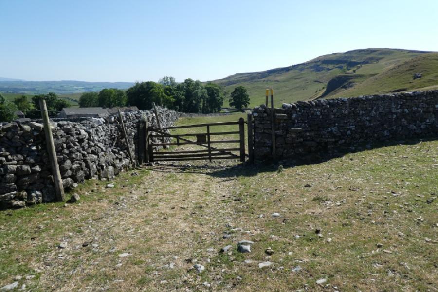
As far as possible up Crummack Lane which is a continuation of Townhead Lane from Austwick. Austwick is a village off the A65 between Settle and Clapham. It is well signed off the A 65. There is usually plenty of kerbside parking in the village once Austwick Bridge (if coming from the south) is crossed at the start of the village. It is usually possible to drive and park nearer than the bridge so continue to the triangular green in the centre of the village then take the road for Horton. Go past the Game Cock Inn then turn left onto the road for Crummack up Townhead Lane (almost at the end of the village). Drive up the hill to a “crossroads” where the Pennine Bridleway crosses the road to Crummack. Continue ahead on a narrow tarmac road towards Crummack. Further on, the road becomes a gravel track but, on 14/6/23, it was still a public road although that might change in the future. There is parking on the left just before a track (No Through Road) goes right. Beyond this track is a sign banning cars, etc from proceeding. If parking here isn't possible then retrace to park sensibly.
Distance/Time
14 km About 5 – 6 hours
Peaks
Ingleborough, 724 m, SD 741 746. OL2 Yorkshire Dales: Western Area
Introduction
Ingleborough is one of the famous “3 Peaks” with Pen-y-Ghent and Whernside being the other two. The main path from Horton is often very busy but this route avoids much of it.
Route
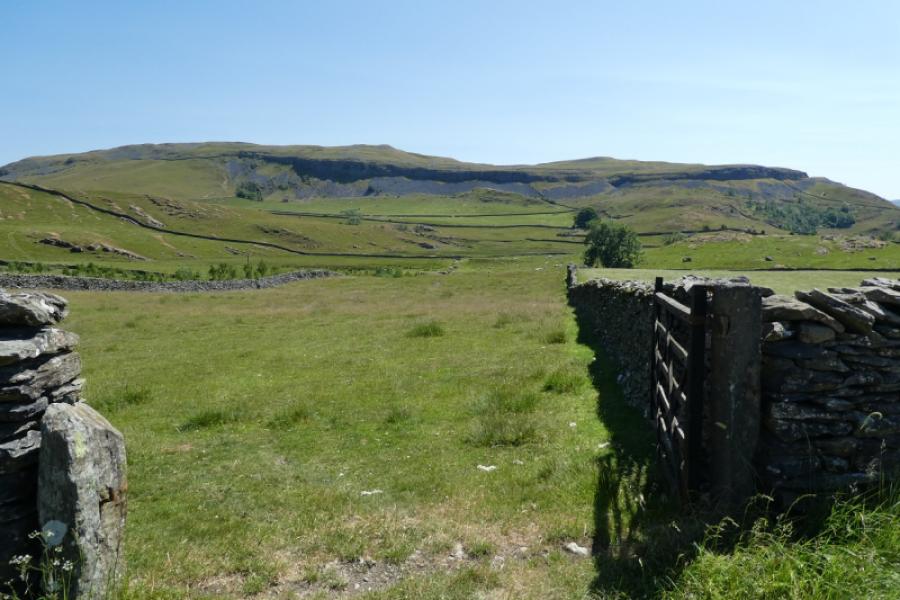
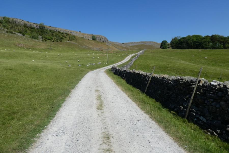
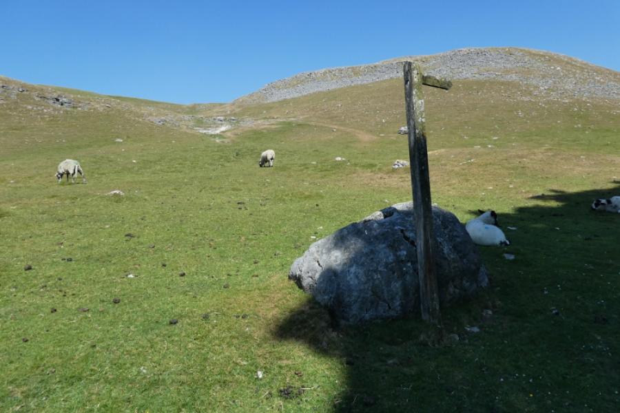
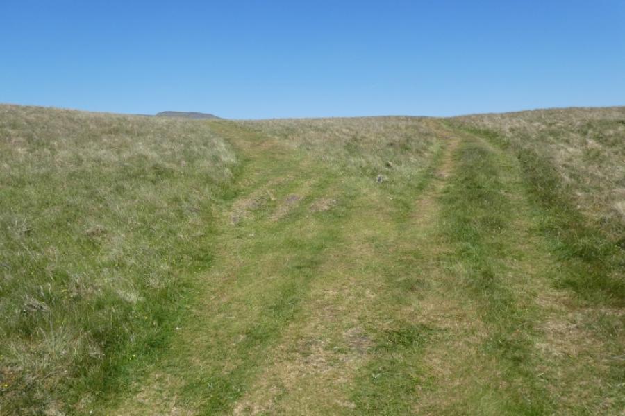
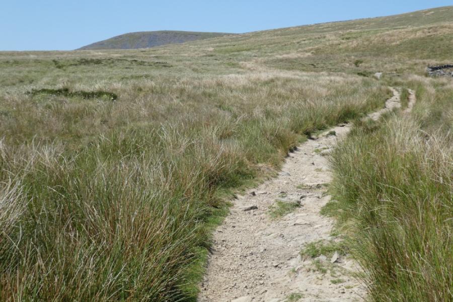
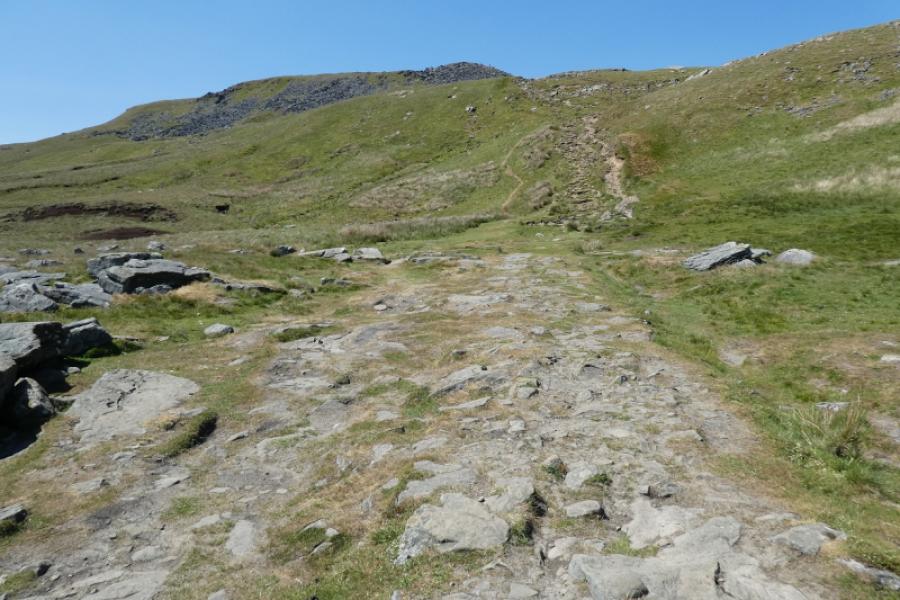
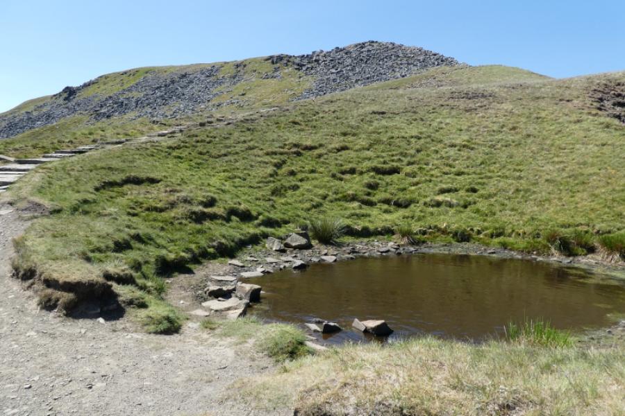
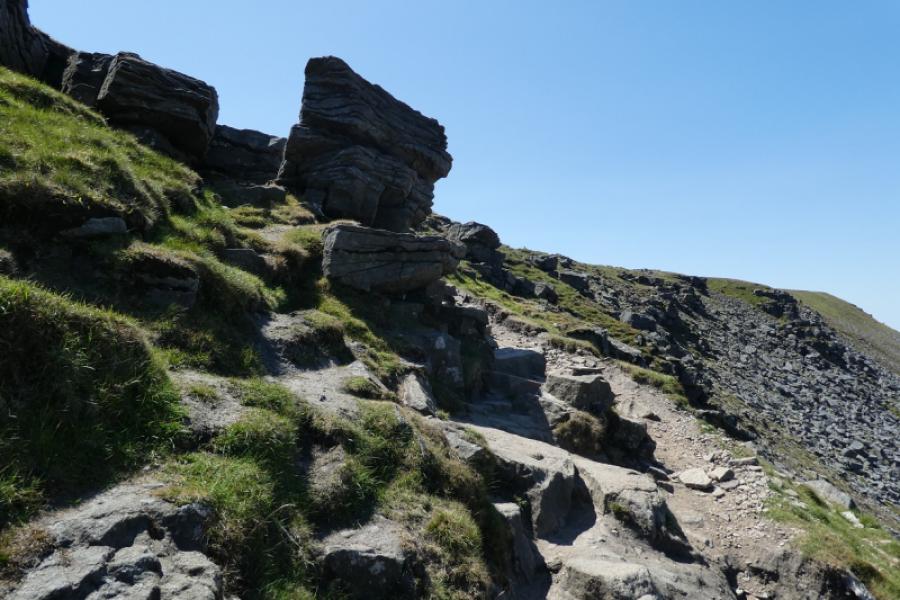
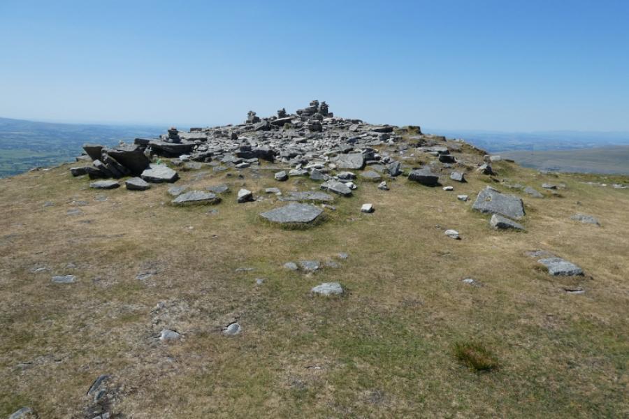
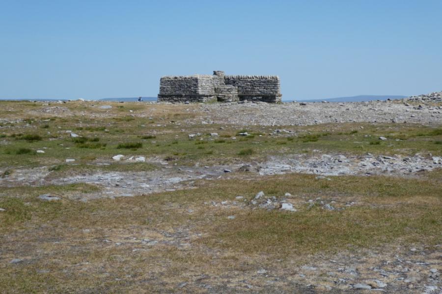
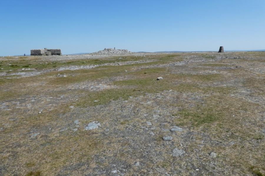
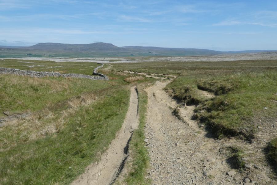
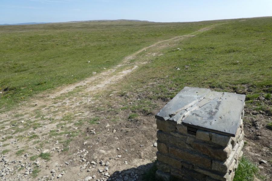
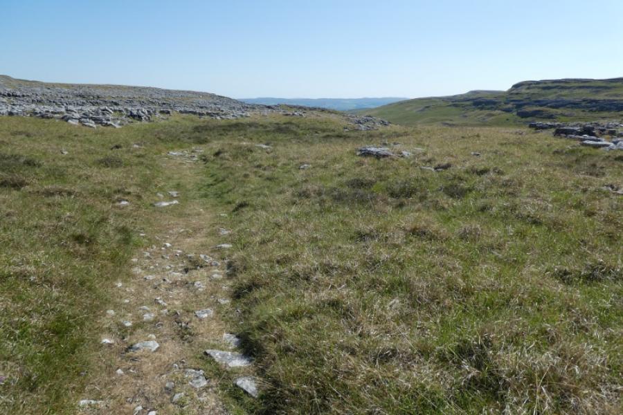
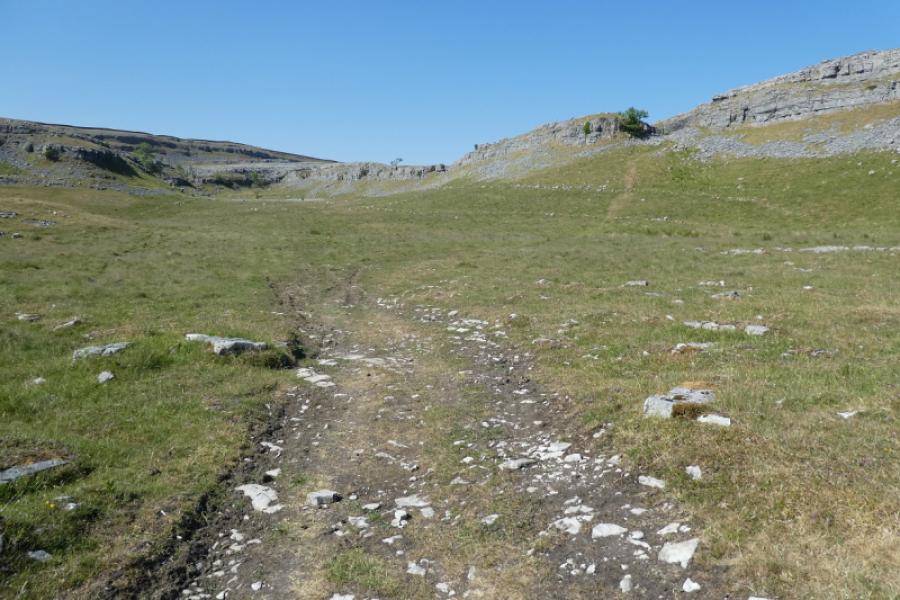
(1) Walk up Crummack Lane to reach a field across a wall from the farm. Strike uphill on a faint track from a signpost (track not signed). Higher up the track becomes more defined. In clear weather a prominent well built triangular cairn may be seen on the crest. Reach the main Long Scar track and head roughly north to soon reach a slightly staggered diagonal crossroads. Fork left and continue for nearly 2 km to reach the main Horton path near Nick Pot. Follow the Horton path and soon pass through a wall. Continue up rising ground to cross the wall at Fell Beck Head. Continue on Simon Fell Breast to join the path coming from Simon Fell then make the final ascent up onto the Ingleborough plateau. In mist, head roughly WSW to find the trig point with the true summit, a wide cairn, close by which marks the summit of Ingleborough, 724m. There are other cairns and a shelter cairn.
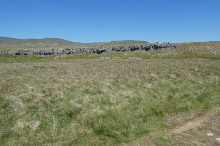
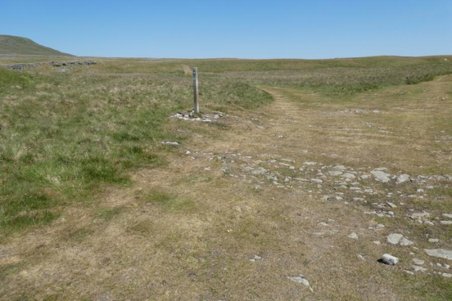
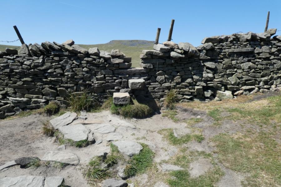
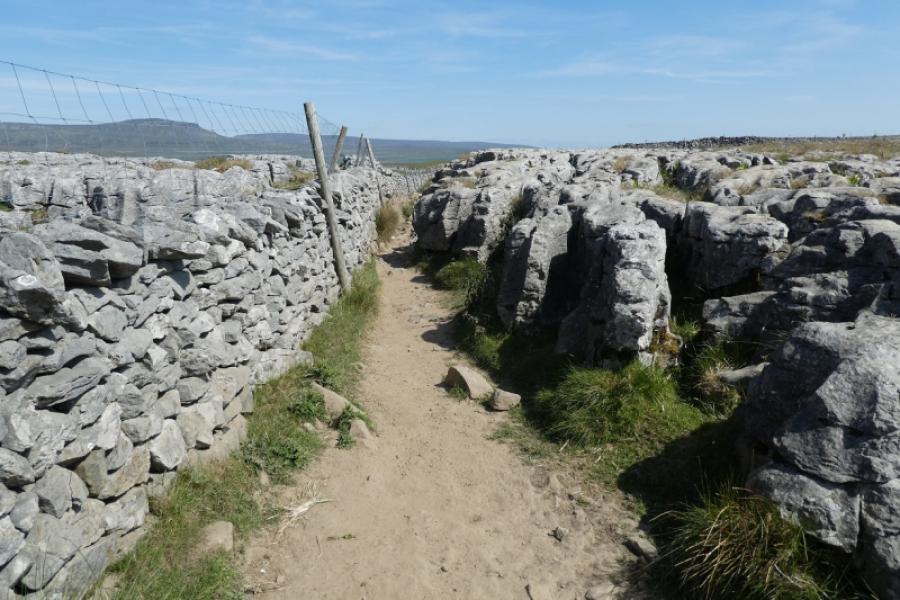
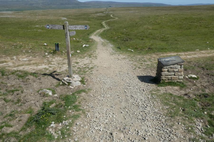
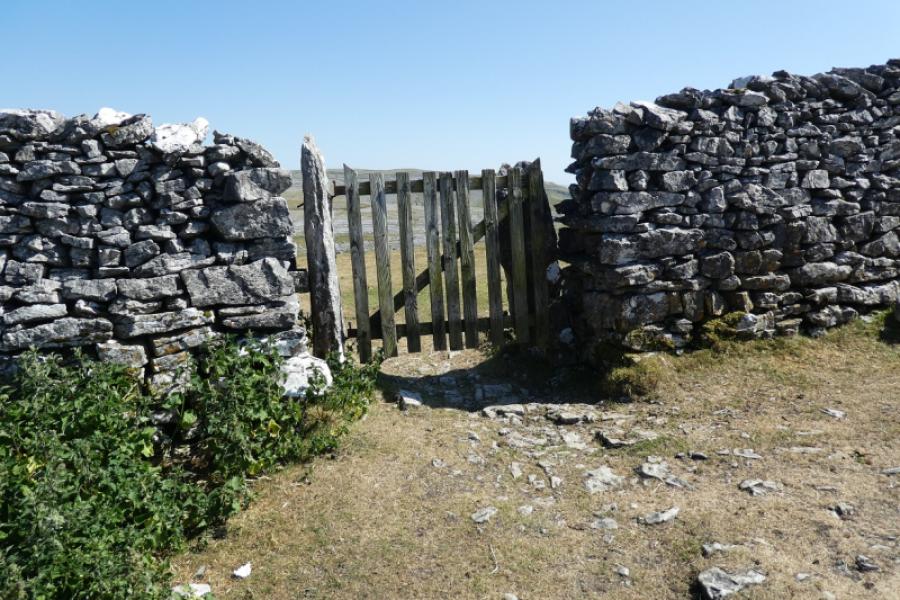
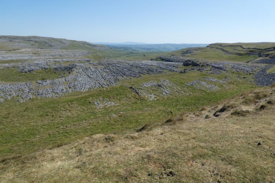
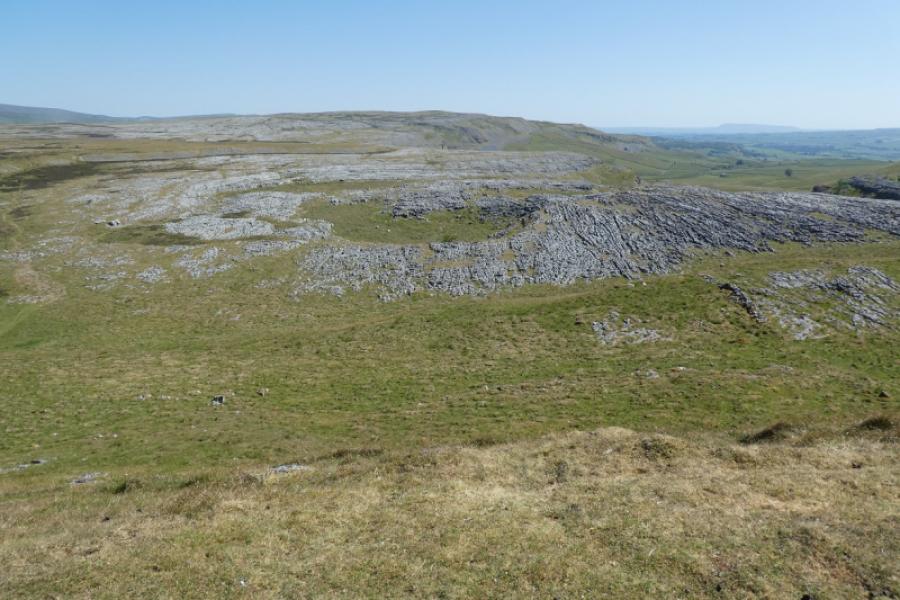
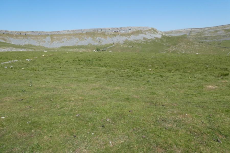
(2) Retrace the outward route to Nick Pot then stay on the Horton path for about another km to reach a signed crossroads (not seen until almost there). Go right heading towards Clapham on a gently rising track to reach Sulber Gate. Pas through then immediately go through a small gate on the left and descend down to Thieves Moss. The main path heads south east below the cliffs but leave it fairly soon and look for a faint path heading south. This path may be difficult to locate but once found it soon becomes easy to follow as it weaves its way south to reach a wall with a ladder stile known as Beggar's Stile. Cross the wall and follow an obvious path and track down Crummack Dale back to Crummack and the start.
Notes
(a) This walk took place on 14th June, 2023.
Photos - Hover over photo for caption. Click on to enlarge. Click on again to reduce.