Get Lost Mountaineering
You are here: England » Yorkshire Dales » Western Area
Norber boulders, Norber & Juniper Gulf from Austwick
Norber boulders, Norber & Juniper Gulf from Austwick
Start/Finish
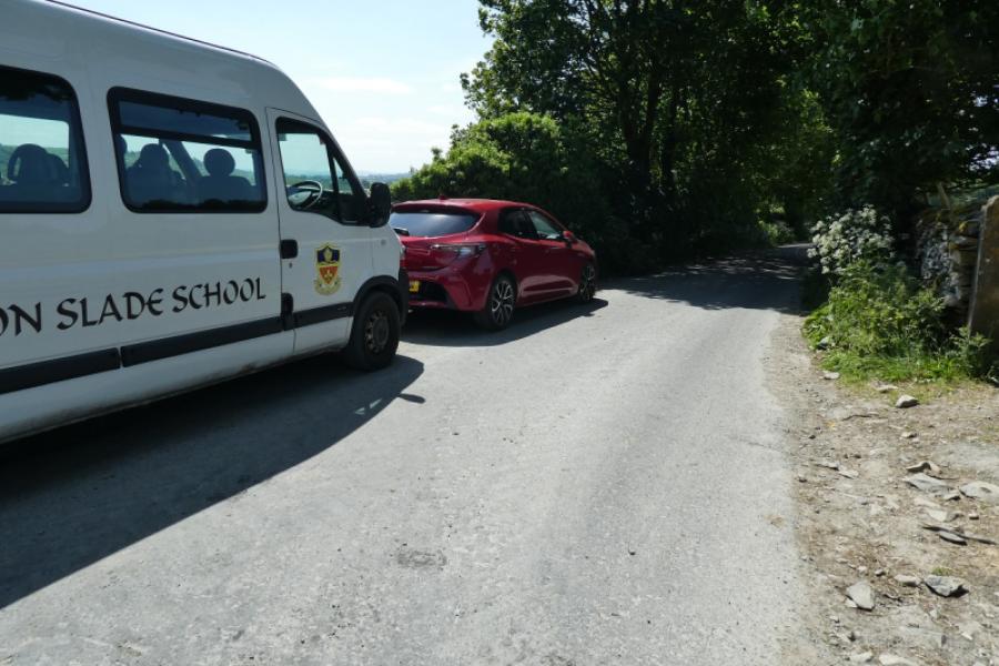
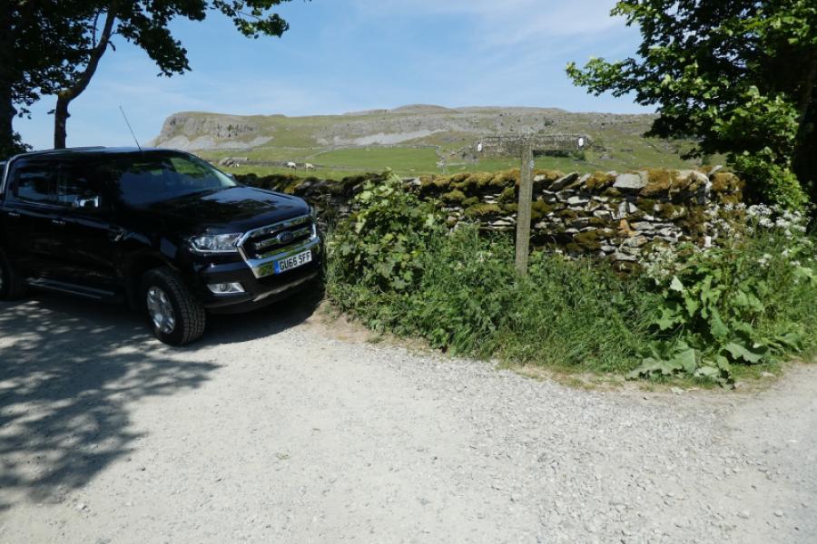
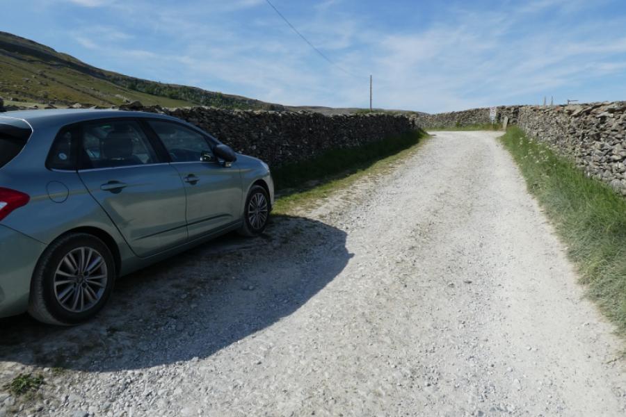
Austwick is a village off the A65 between Settle and Clapham. It is well signed off the A 65. There is usually plenty of kerbside parking in the village once Austwick Bridge (if coming from the south) is crossed at the start of the village. It is usually possible to drive and park nearer than the bridge so continue to the triangular green in the centre of the village then take the road for Horton. Go past the Game Cock Inn then turn left onto the road for Crummack up Townhead Lane (almost at the end of the village). Drive up the hill to a “crossroads” where the Pennine Bridleway crosses the road to Crummack. It may be possible to park at this crossroads. If not retrace and park down Townhead Lane. Parking at the crossroads saves about 2 km of walking compared to starting from Austwick Bridge.
Distance/Time
11 km About 3 - 4 hours (from crossroads)
Distance and time are very approximate as walkers are likely to do much wandering around the boulders.
Peaks
Norber, about 400 m, about SD 764 698. OL2 Yorkshire Dales: Western Area
Introduction
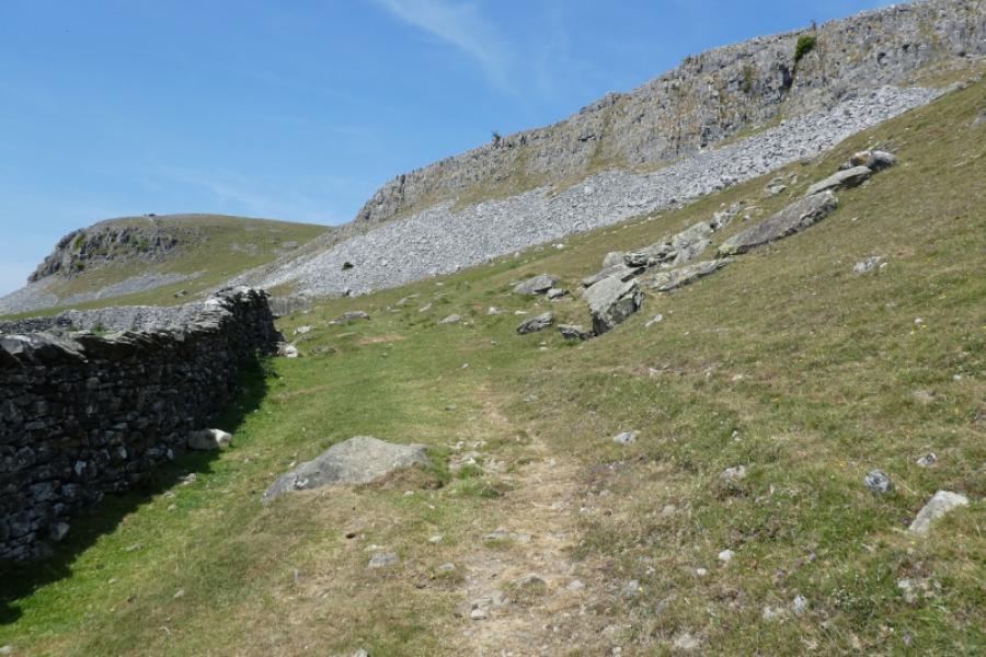
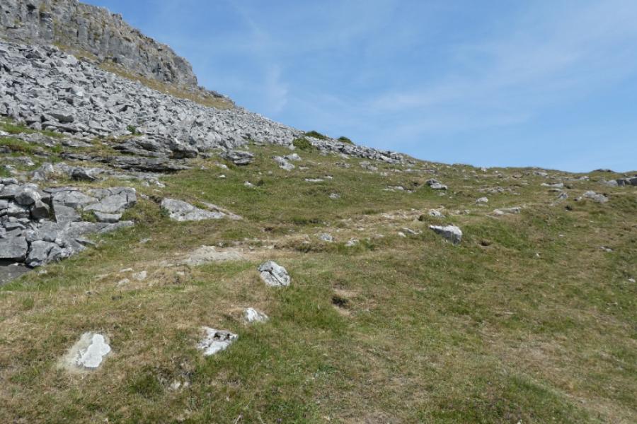
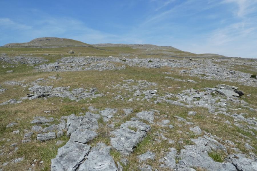
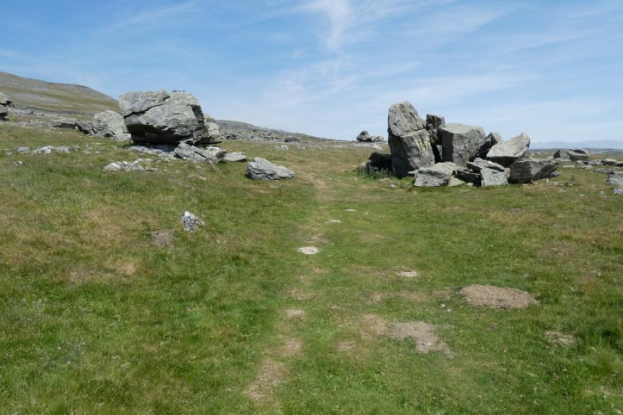
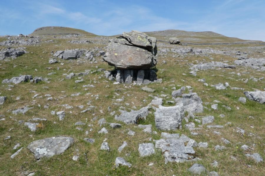
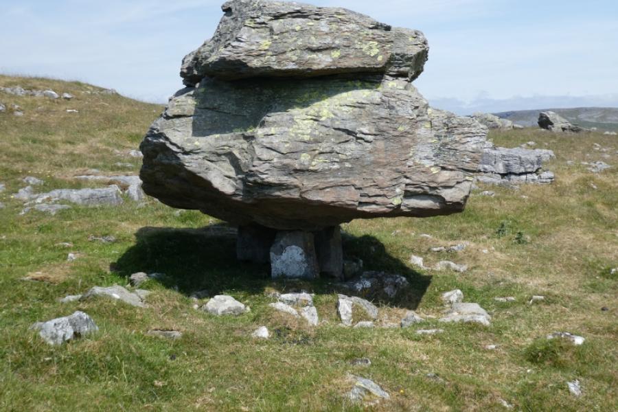
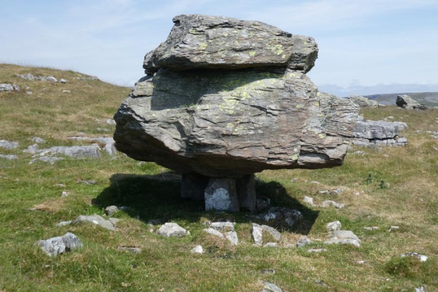
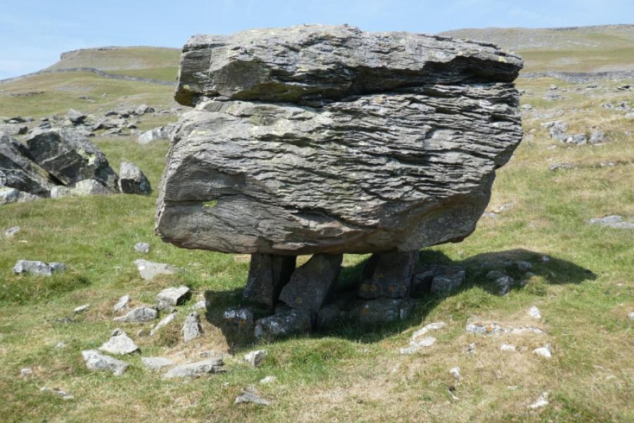
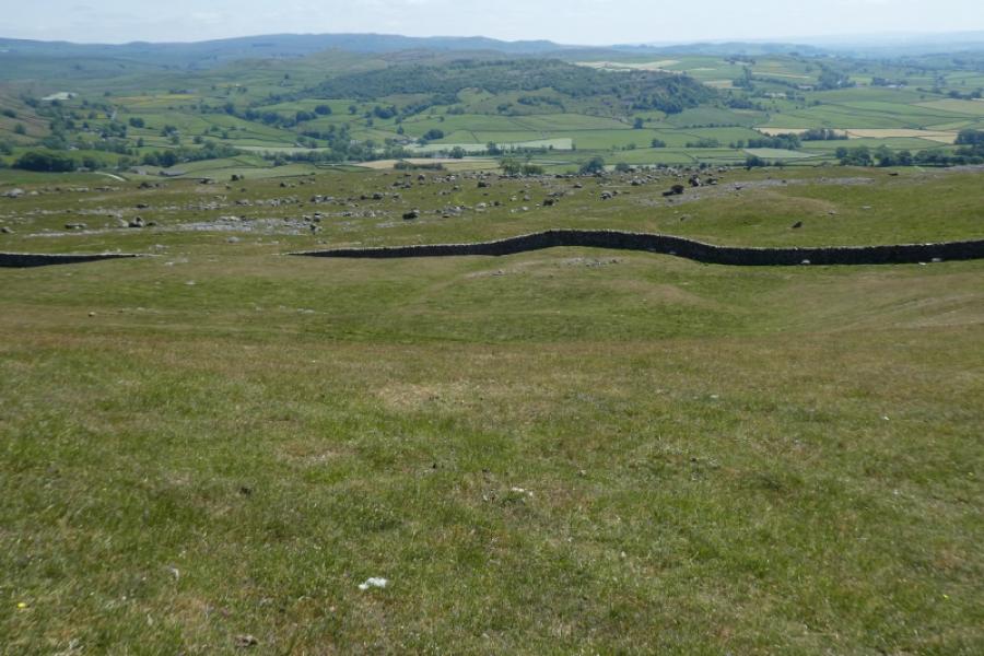
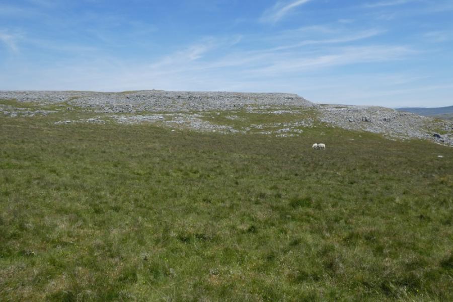
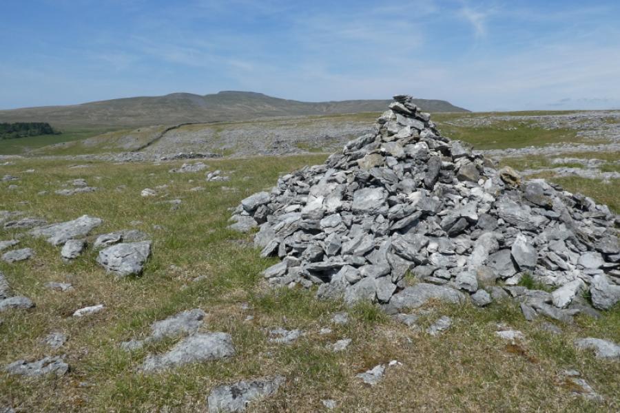
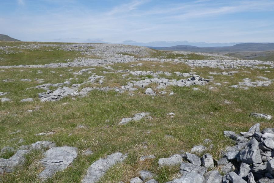
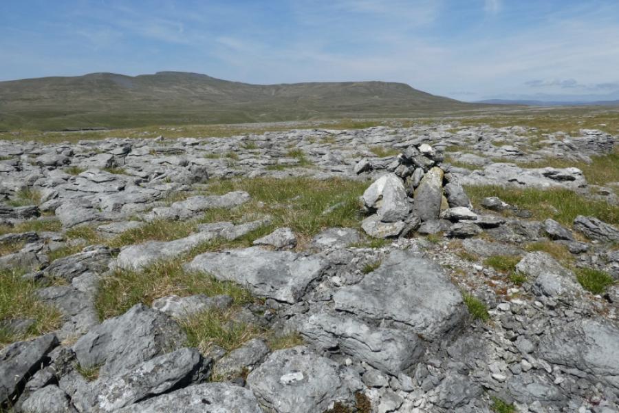
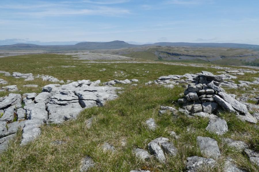
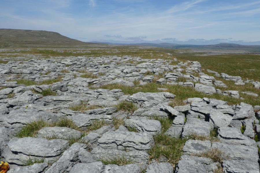
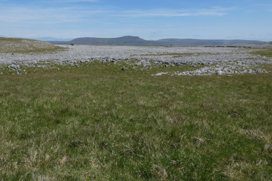
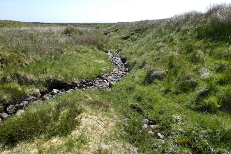
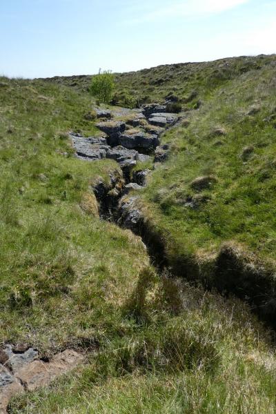
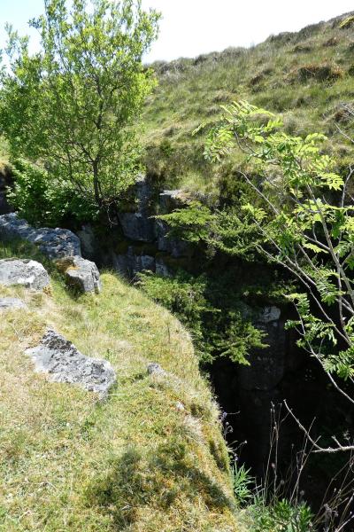
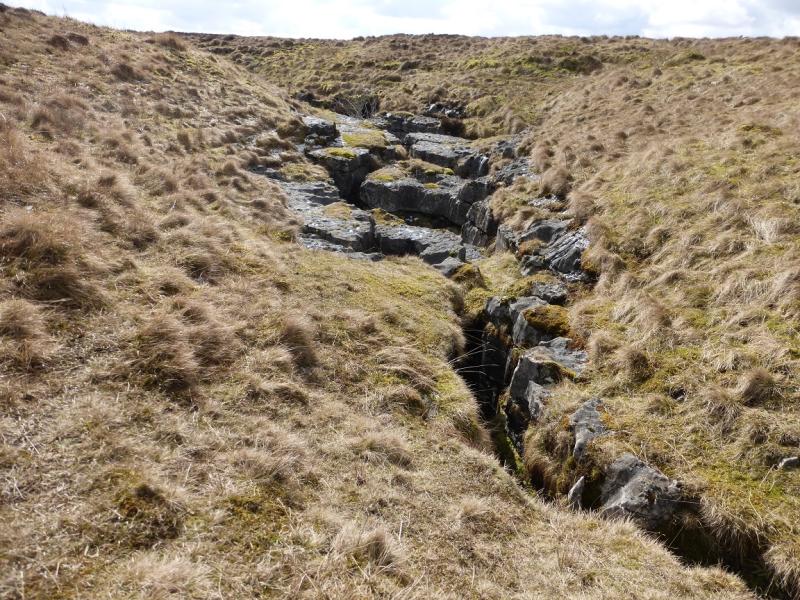
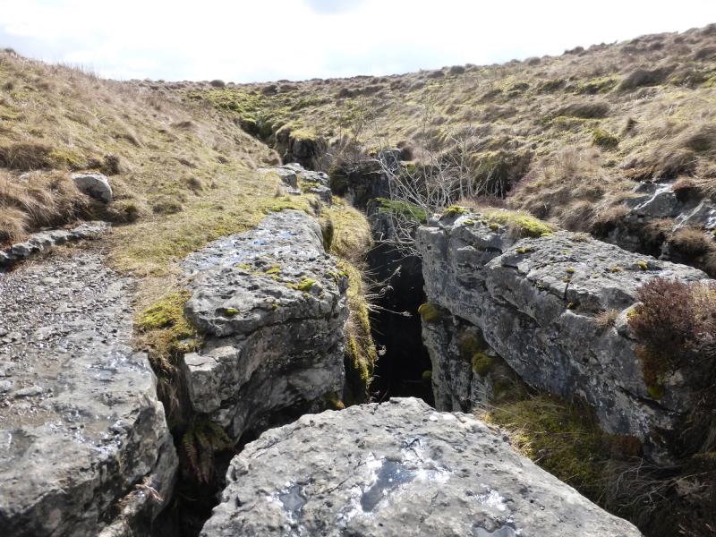
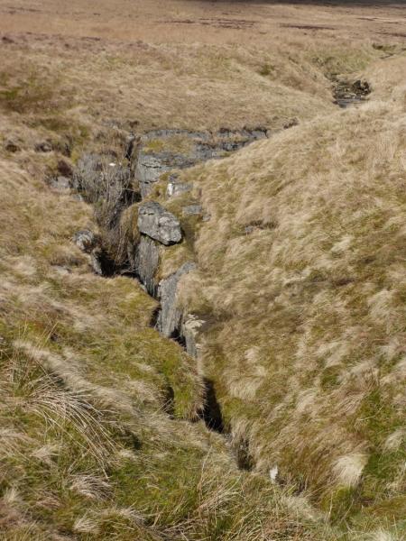
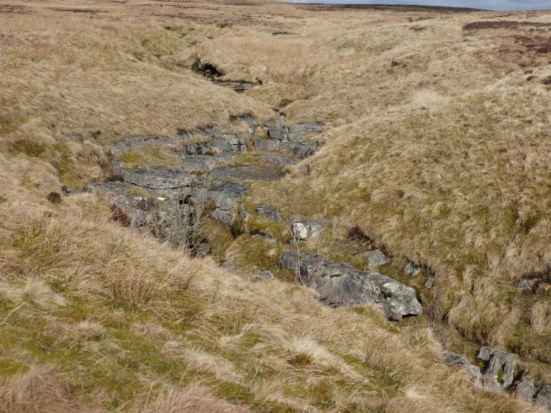
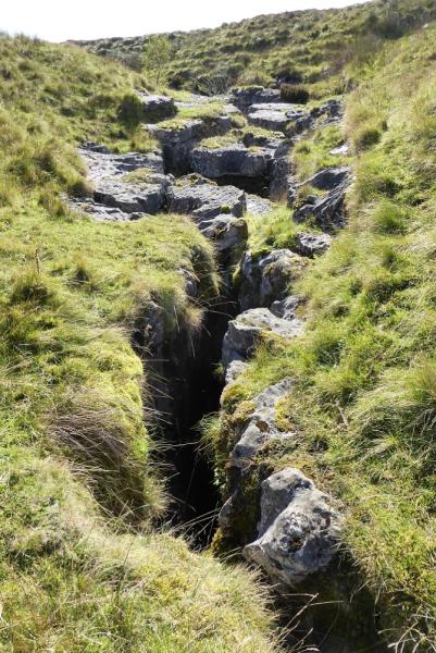
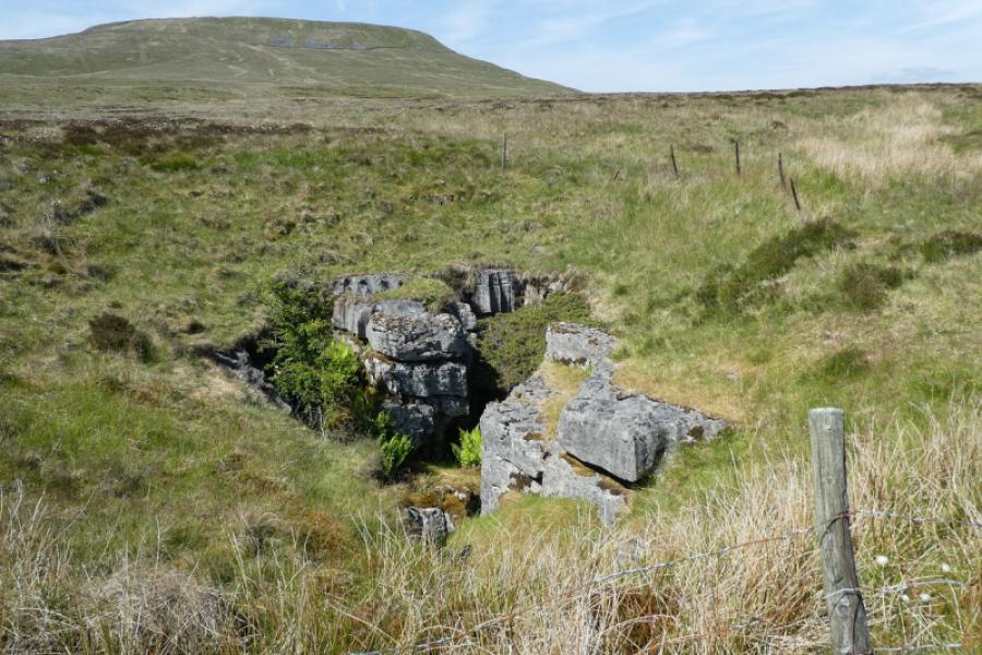
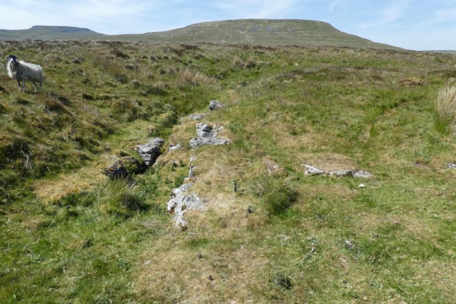
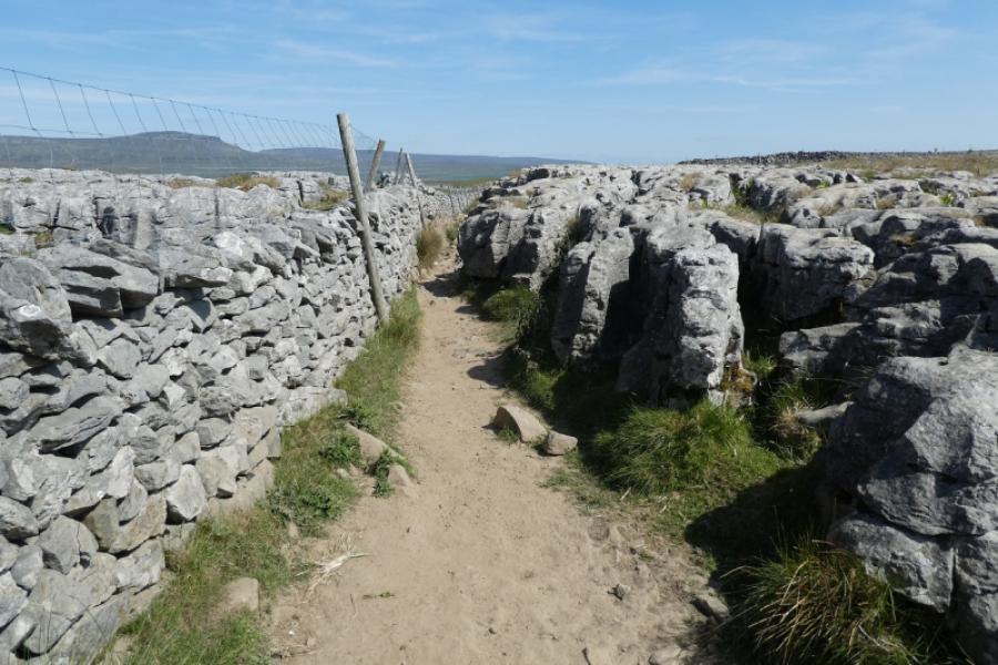
The Norber Boulders are the largest boulder field in the UK. Many are perched on smaller limestone rocks. A visit is highly recommended. It is well worth spending time wandering over all of the large area of boulders. The summit of Norber is not well defined hence the approximate height and grid reference. The ridge running south to north is broad and has several cairns of about the same height with Norber being the most southerly summit but not the highest point. There are excellent views to Ingleborough and Pen-y-Ghent. Juniper Gulf is a stream which quickly develops into a very deep cleft yet narrow enough for those brave, or foolish, enough to stand astride. It can take some time to locate Juniper Gulf for those not familiar with the area. This route means climbing over the wall near Juniper Gulf as, surprisingly, there is no stile.
Route
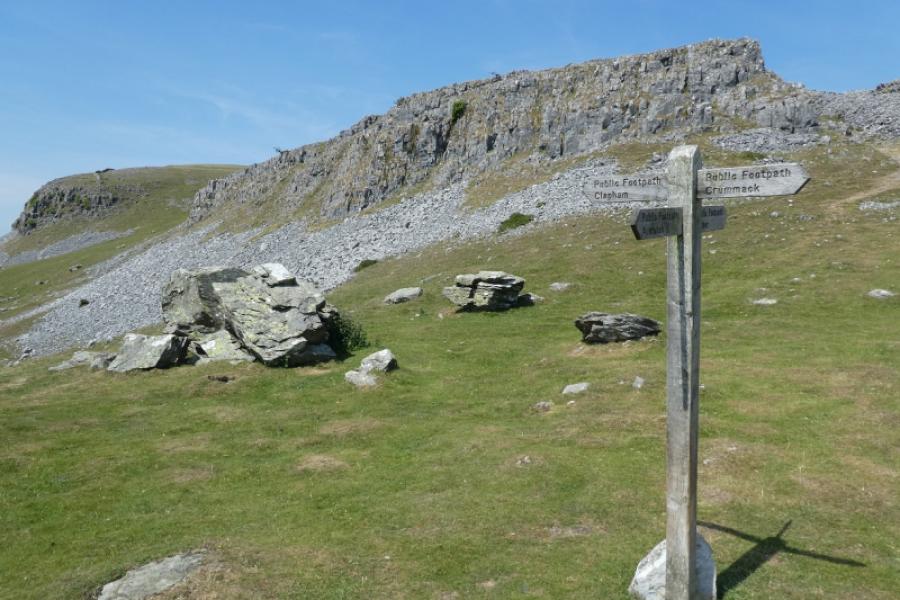
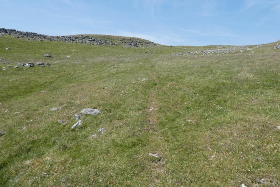
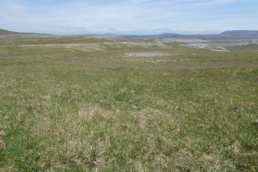
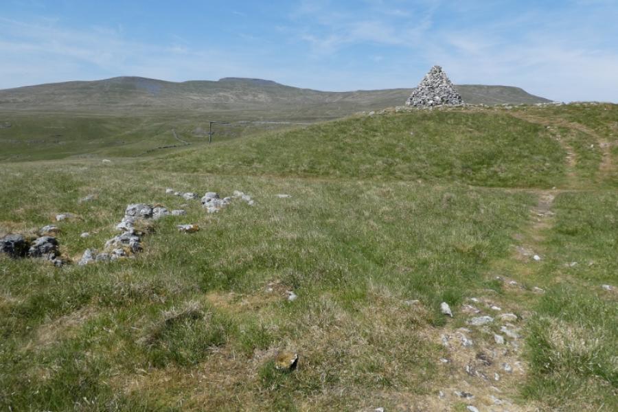
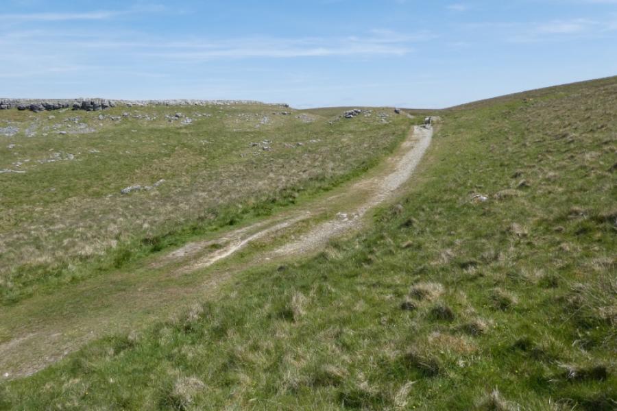
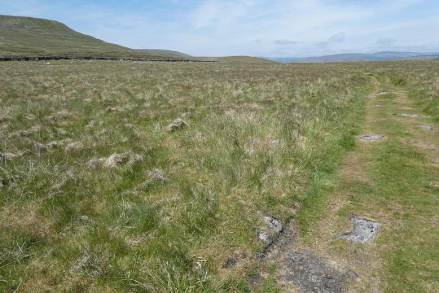
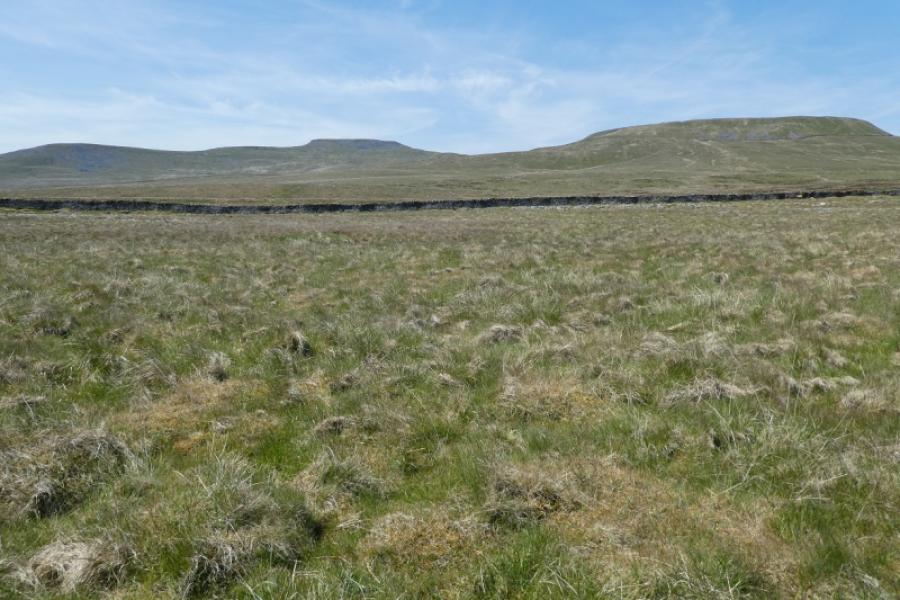
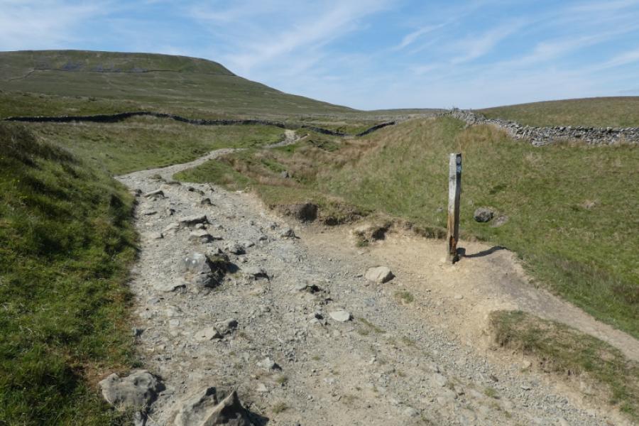
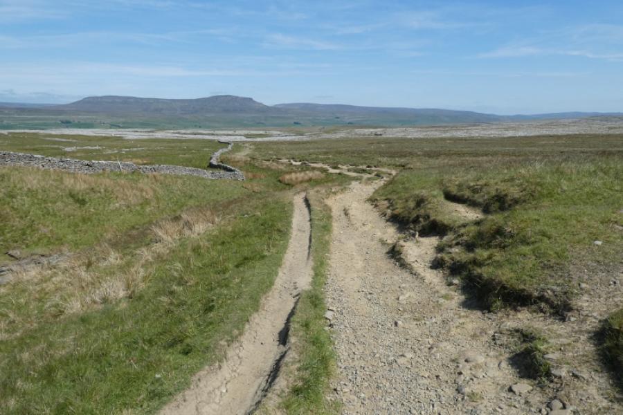
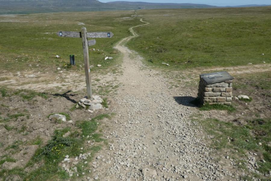
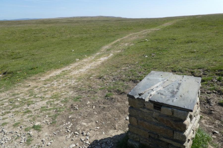
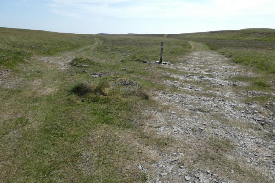
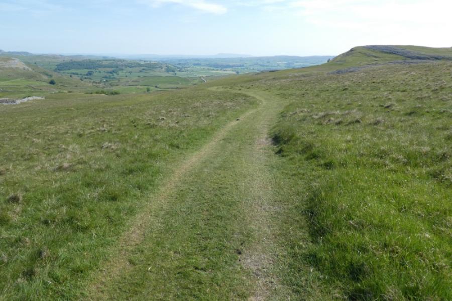
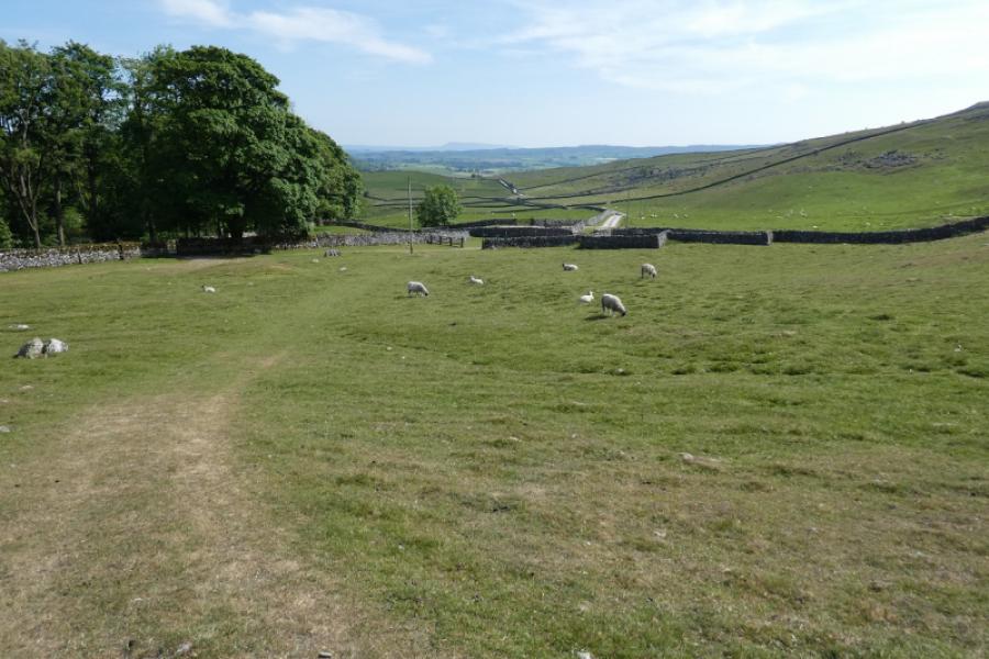
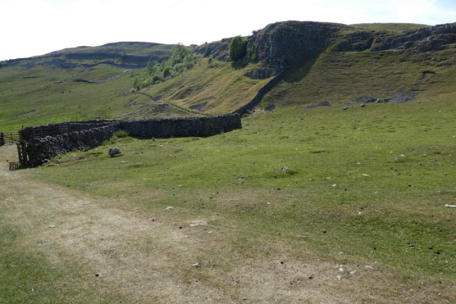
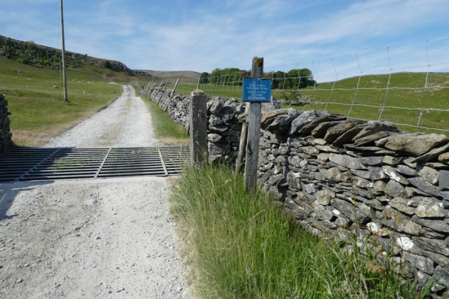
(1) From where the Pennine Bridleway crosses the road to Crummack, go left, west, then almost immediately, take the path on the right into a large field. Keep to the right of the wall until the path passes close to broken cliffs. This is the start of the boulders. One can wander anywhere but to be systematic, it might be best to go right, following a wall, passing a huge boulder perched on an edge, then ascending a little into the northern end of the boulders. Wander at leisure, looking for the boulders with least support. Head for the stile in the top corner of the field then ascend up, again weaving around, to pass more boulders before gaining the crest. Wander north, across limestone pavements, to pass two cairns and many eroded limestone pavements. Reach a third, immaculately constructed cairn. Continue ahead, slightly right to join a good grassy track. Follow this for about 1 km until a slightly staggered diagonal crossroads is reached. Take the left fork which heads almost due north before bending left. The wall passing near Juniper Gulf should now be in sight. Stay on the track when it bends right until it soon bends gently left (all shown on the OS map). Leave the track and head for the wall and climb over carefully without causing any damage. The ground over the wall rolls slightly and it is hard to spot Juniper Gulf. Try to find a semi-circular line of old fence posts guarding a large pothole then continue ahead and you should find Juniper Gulf which has an obvious tree once you get close. Alternatively, look closely at the map and notice that two streams meet just before Juniper Gulf. Aim to intersect the western stream then follow it down as it curves round to Juniper Gulf. There is actually a Juniper tree in Juniper Gulf!
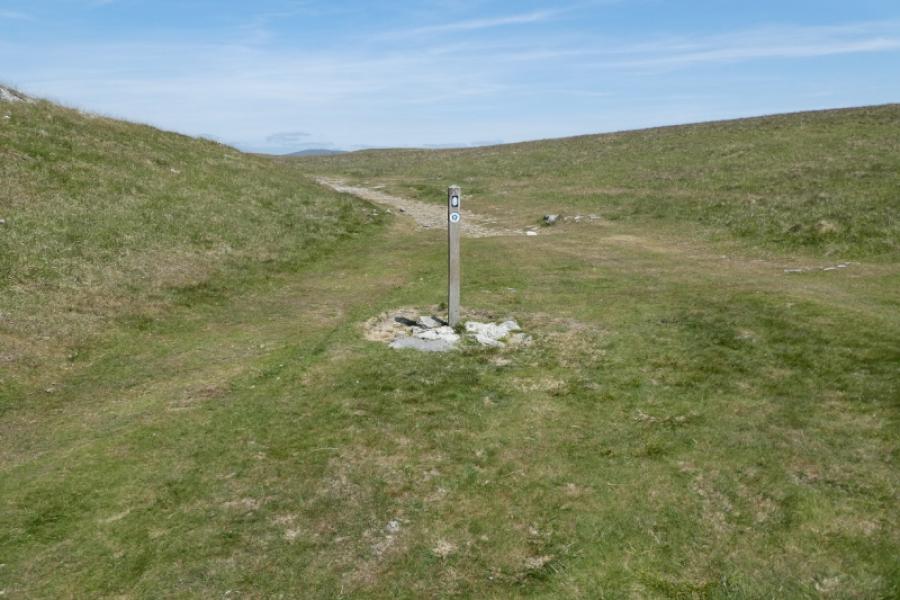
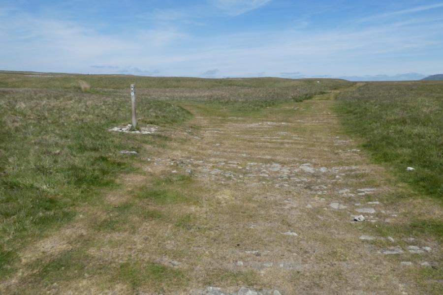
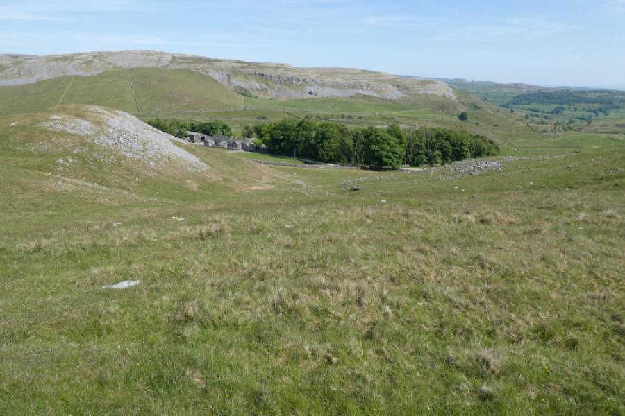
(2) Retrace to the wall and follow a faint path roughly north until a stile is reached which can be climbed over to regain the grassy track which can be followed to soon join the main track from Horton. Turn right and descend for about 1 km to reach a signed crossroads. Turn right (Clapham) and follow the grassy track. Pass through a wall and continue ahead ignoring a small gate on the left. When the track splits, take the left fork which descends, mainly gradually to Crummack (noticeable wood not shown on some maps). Join the obvious track from the farm and follow it back to the crossroads.
Notes
(a) This walk took place on 8th June, 2023.
Photos - Hover over photo for caption. Click on to enlarge. Click on again to reduce.