Get Lost Mountaineering
You are here: England » Yorkshire Dales » Western Area
Whernside from Dent
Whernside from Dent
Start/Finish
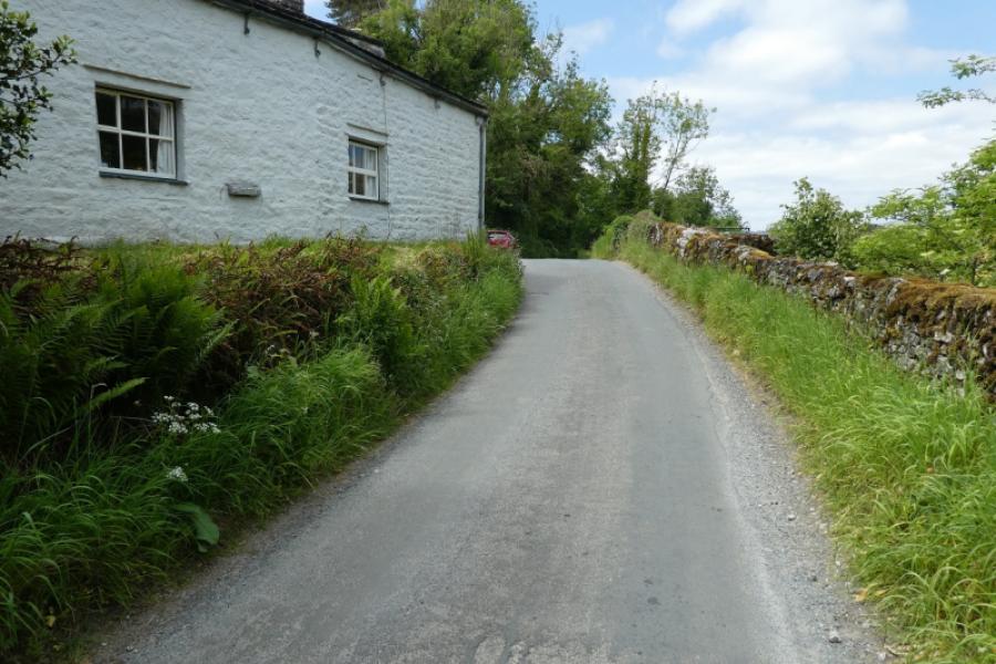
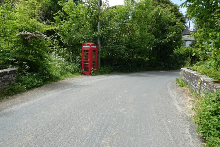
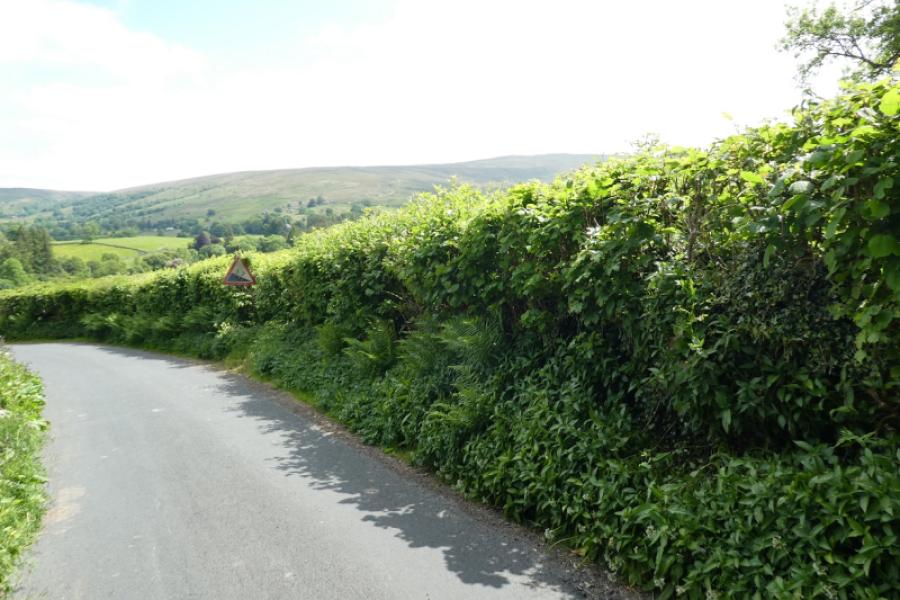
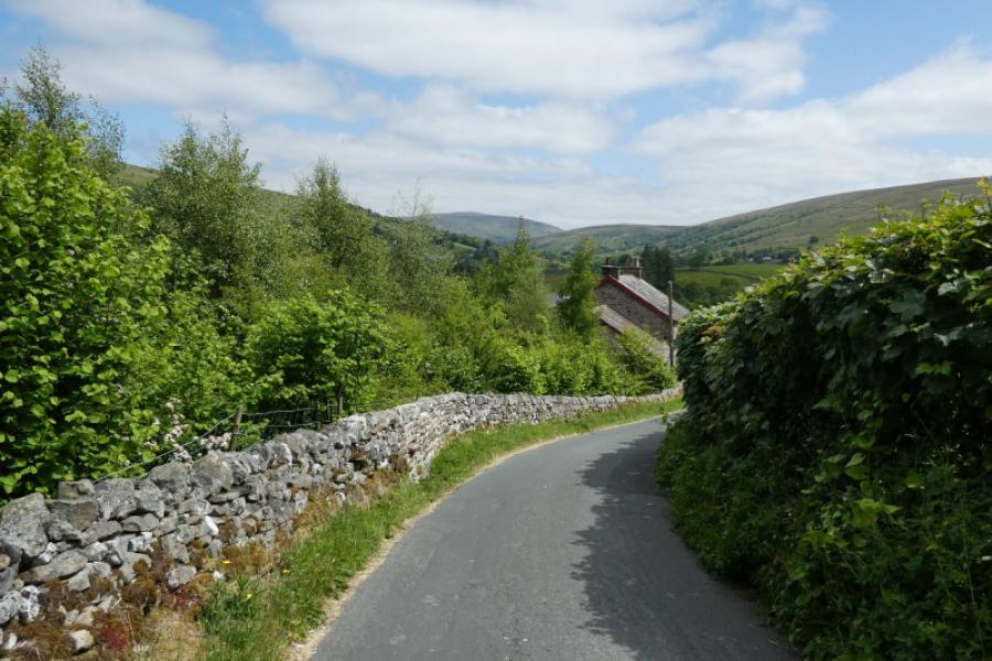
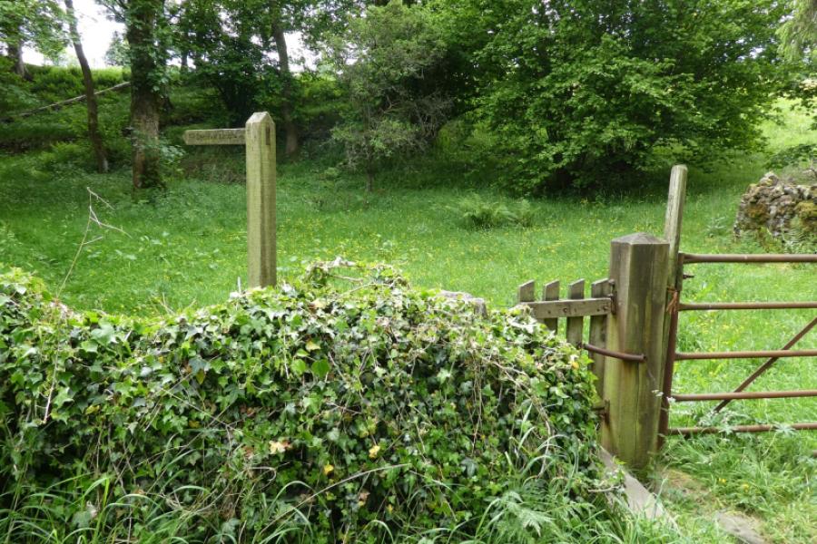
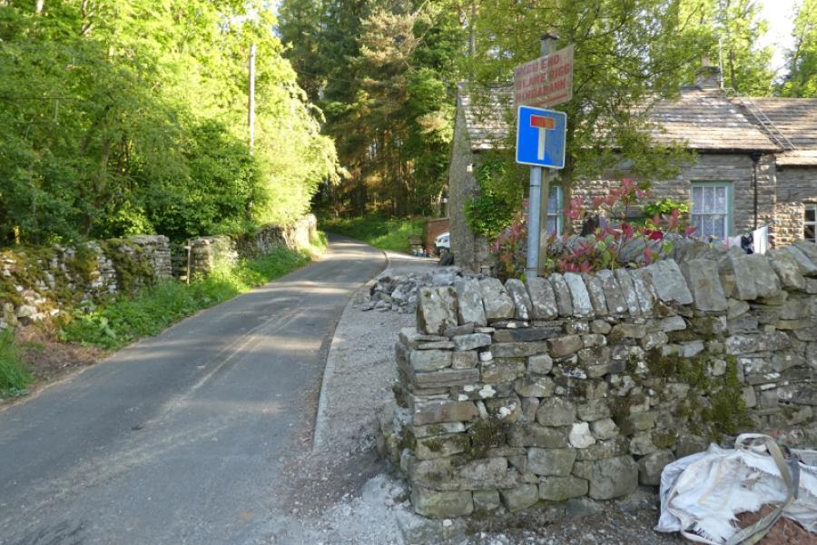
Dent is not the easiest place to reach and all roads leading to it are narrow. The road from Ingleton goes over a high pass which has 4 gates and may be impassable in winter conditions. There is a car park near the centre of the village with toilets. However, it is about 2 km each way from there to Dyke Hall Lane so time can be saved by parking nearer to Dyke Hall Lane although few spots are available. Drive through Dent going to the right of the George and Dragon pub. This takes you roughly east. Reach an old red phone box near a white house where there is some parking (about 1 km from Dyke Hall Lane). Soon after the road splits with the right fork going up Deepdale and over to Ingleton. Ignore this and continue ahead. Cross the river over Mill Bridge. Just before the bridge, a long distance path (Dalesway) goes left and, in dry weather only, there is a single parking spot on the river bank about 200 m before Dyke Hall Lane. There is no parking up the lane.
Distance/Time
14 km (from old phone box) About 4 - 5 hours
Peaks
Whernside, 736 m, SD 738 814. OL2 Yorkshire Dales: Western Area
Introduction
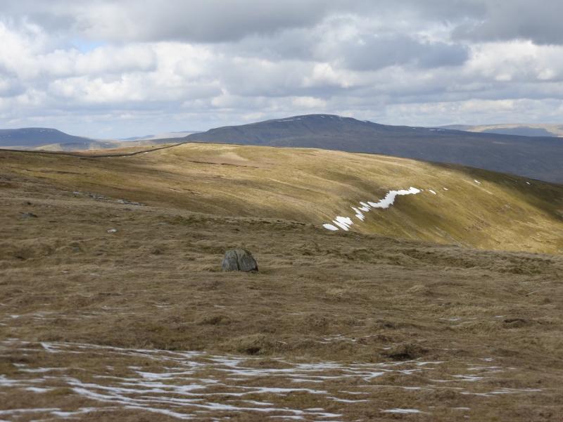
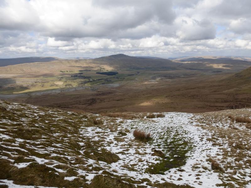
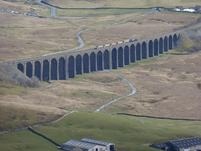
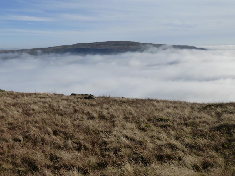
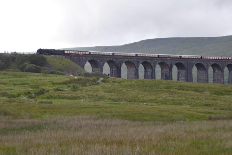
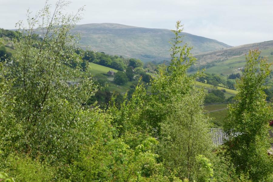
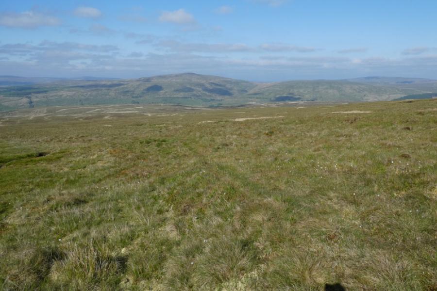
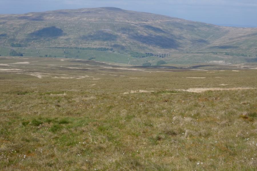
Whernside is the highest of the famous “3 Peaks” with Pen-y-Ghent and Ingleborough being the other two. This is the only sensible ascent from the north. There are fine views in all directions including Aye Gill Pike, Great Knoutberry Fell, Pen-y-Ghent, Ingleborough, Great Coum and the Howgills plus, of course the Ribblehead Viaduct which is part of the Settle to Carlisle line. The first part of the route follows a good track after which the path can be boggy in places and would be difficult to follow in mist and snow.
Route
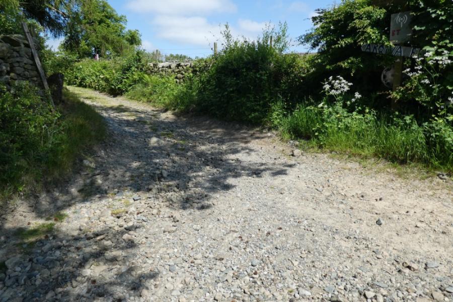
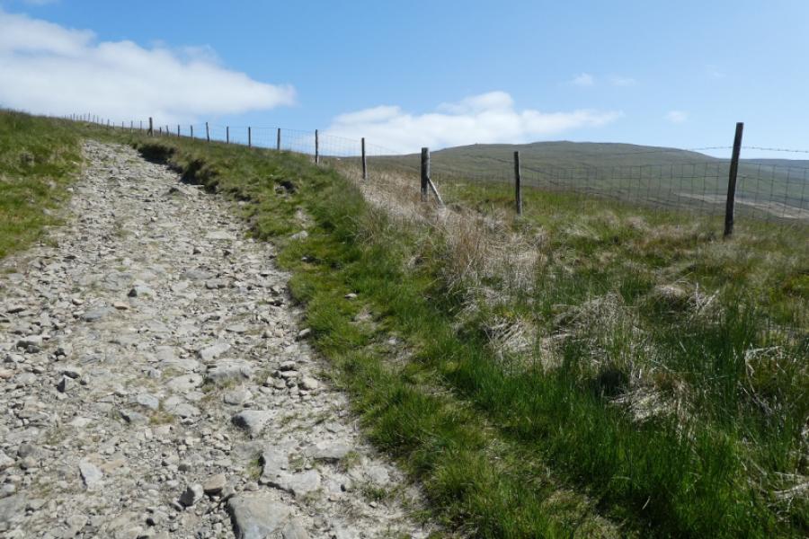
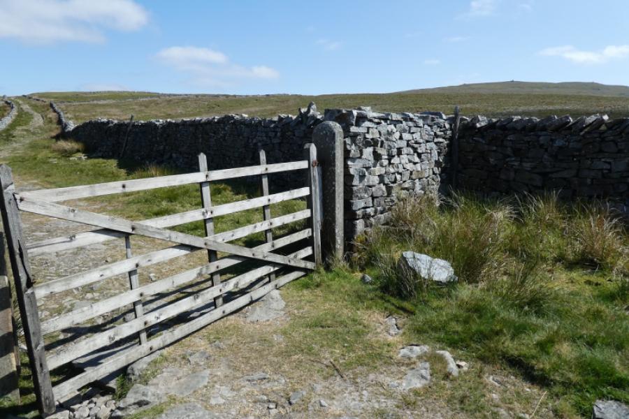
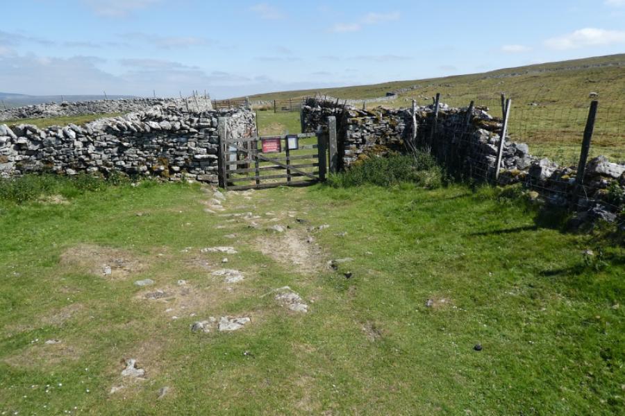
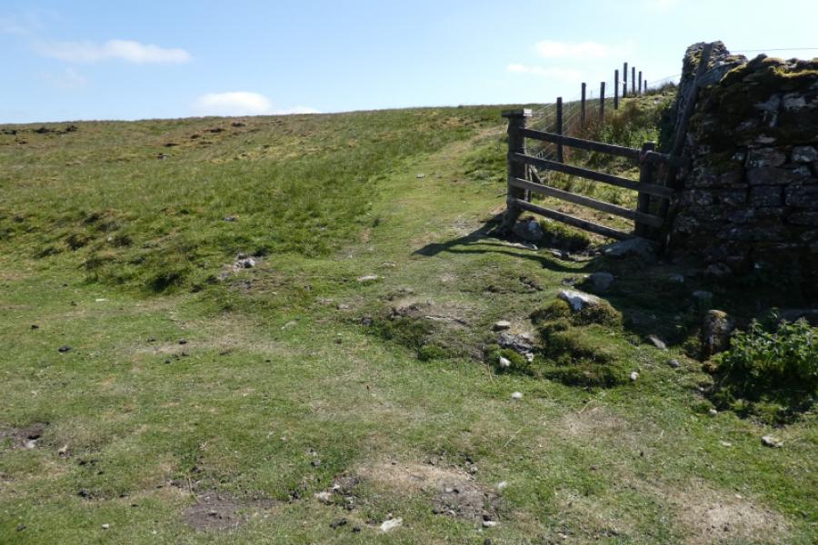
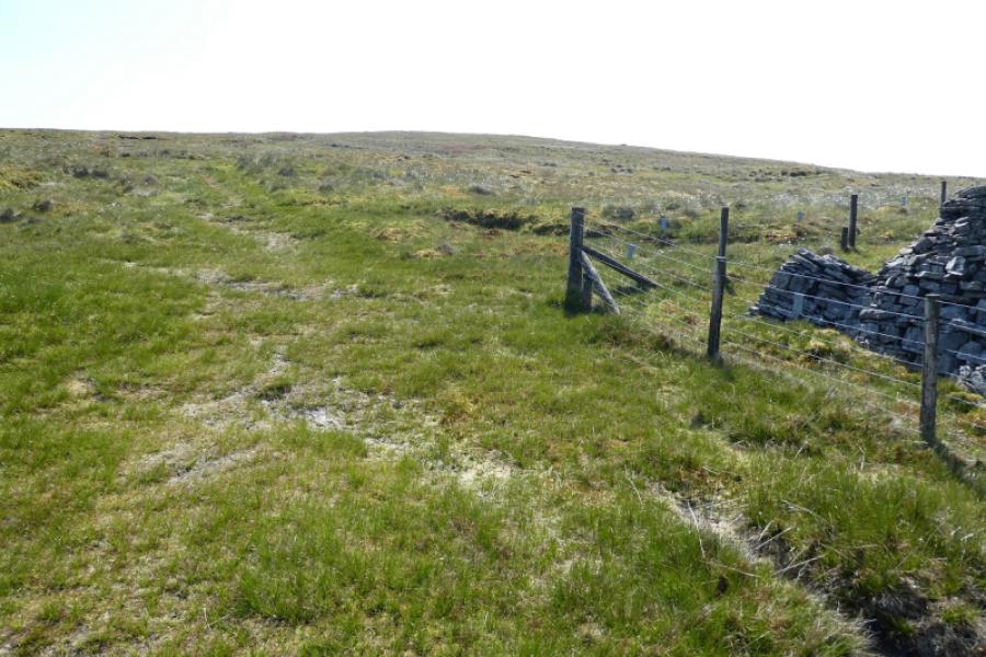
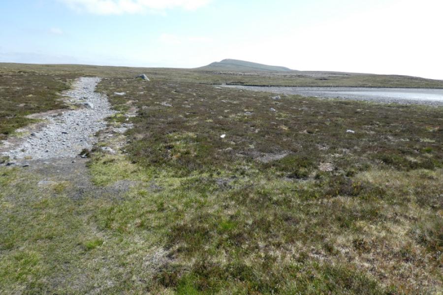
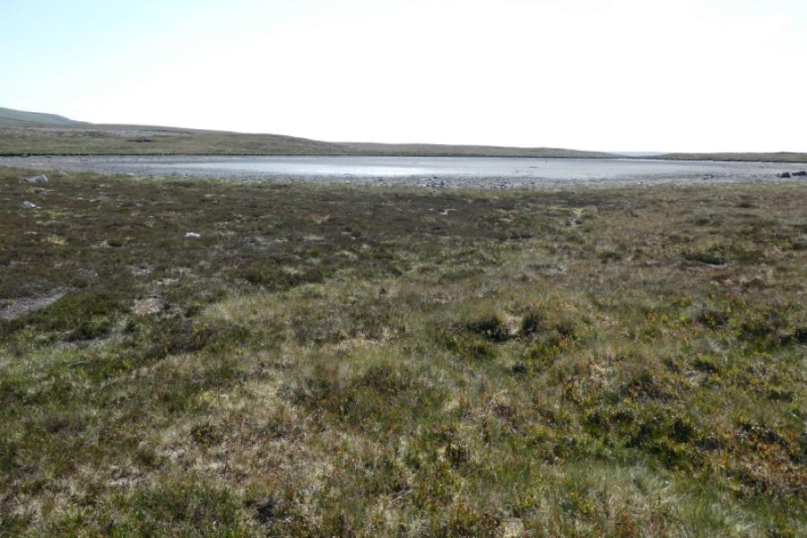
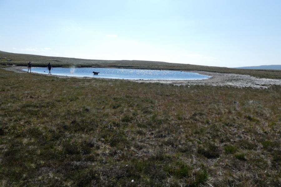
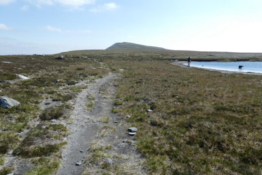
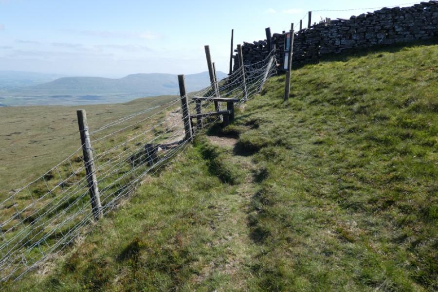
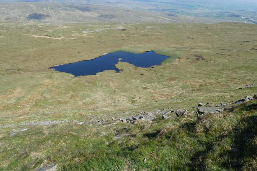
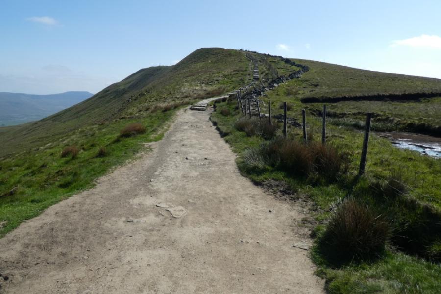
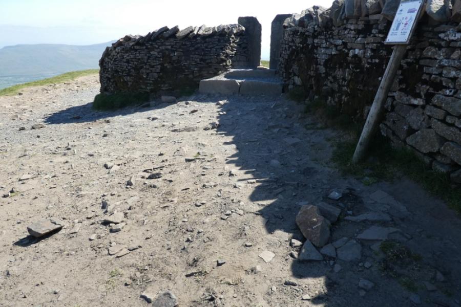
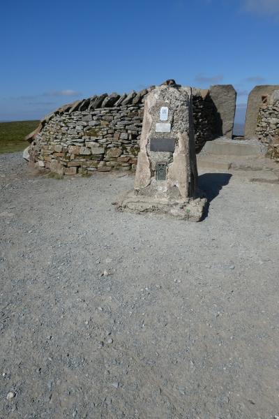
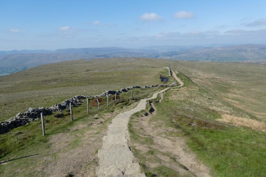
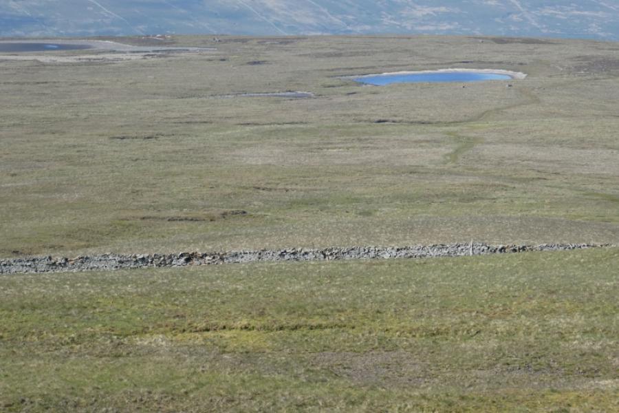
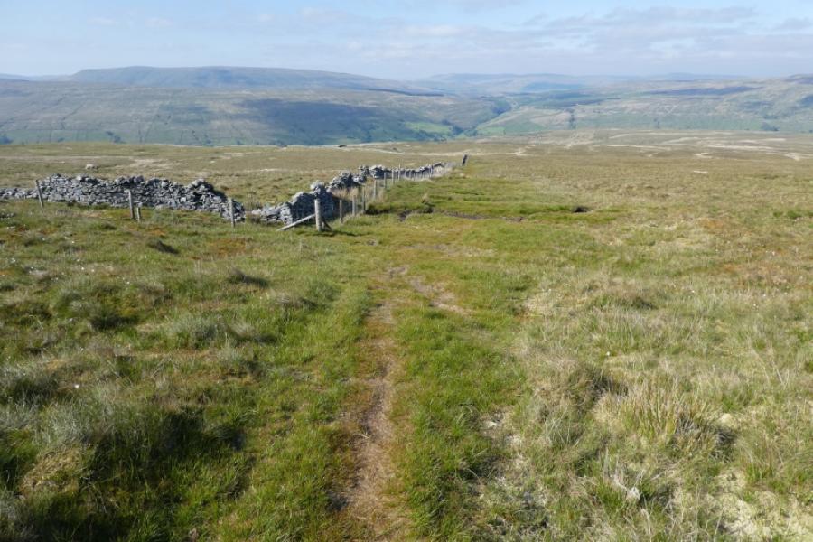
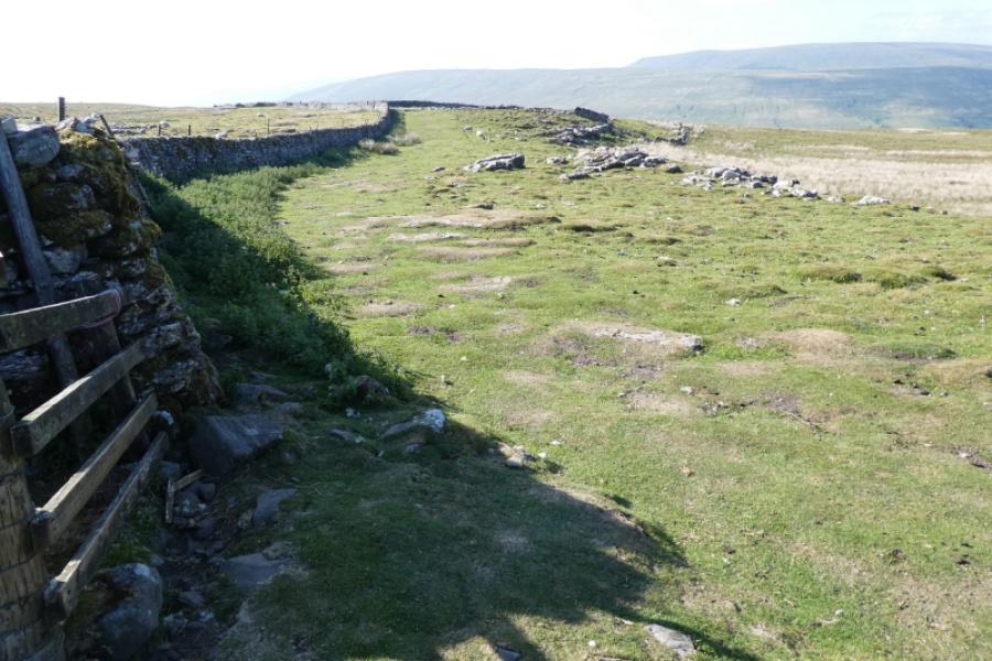
(1) Walk up Dyke Hall Lane to soon reach a gravel track going left and uphill with a visible gate not far up. Go up the track and through the gate. Continue up, moderately steep in places and pass some large aerials. Continue up with the track gradually becoming more grassy especially when it starts to level out. In clear weather, two cairns will be seen on Whernside which are near the Whernside Tarns. At the top of the track, pass through some sheep pens then leave the track when the wall on the right turns uphill. Follow the path which is never far from the wall until the wall turns right and the path continues ahead across fairly featureless moorland. Follow the path, after many minor shoulders, to reach the first tarn which can dry up in sustained dry conditions. Continue on the path and pass a second tarnBy now the top of Whernside should be visible in clear weather. Continue on the path to reach a stile which puts you on the main path from the railway. Follow the main path up onto the top. The trig point on the other side of the wall marks the summit of Whernside, 736 m.
(2) Retrace the outward route.
Notes
(a) This walk took place on 6th June, 2023.
Photos - Hover over photo for caption. Click on to enlarge. Click on again to reduce.