Get Lost Mountaineering
You are here: England » Yorkshire Dales » Western Area
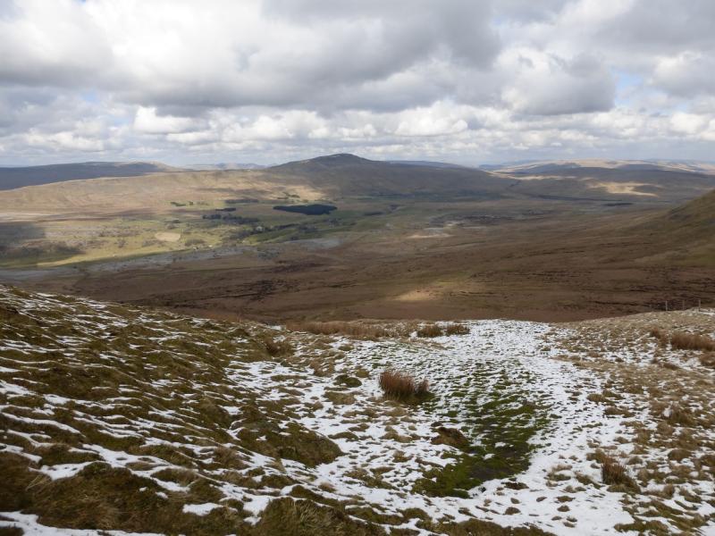
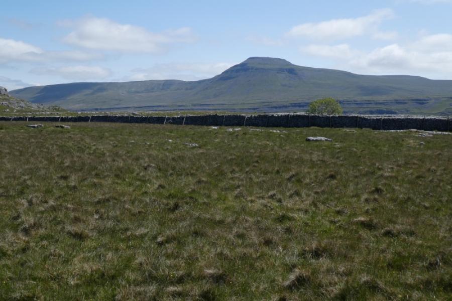
Whernside from lower Kingsdale
Whernside from lower Kingsdale
Start/Finish
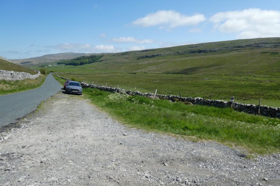
The lower end of the road, to Dent, up Kingsdale about 1.5 miles after leaving Thornton-in-Lonsdale where a major track goes off to the right below the end of the long ridge leading up to Whernside. The track is at the bottom of a hill on the road. Parking is very limited but this is not a popular route so spaces may be available. There is a distinct drop on the edge of the road so some will not want to park here. In this case, use the parking spaces passed on the brow of the hill about 500 m back.
Distance/Time
19 km About 5 – 6 hours
Peaks
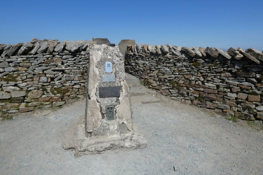
Whernside, 736 m, SD 738 814. OL2 Yorkshire Dales: Western Area
Introduction
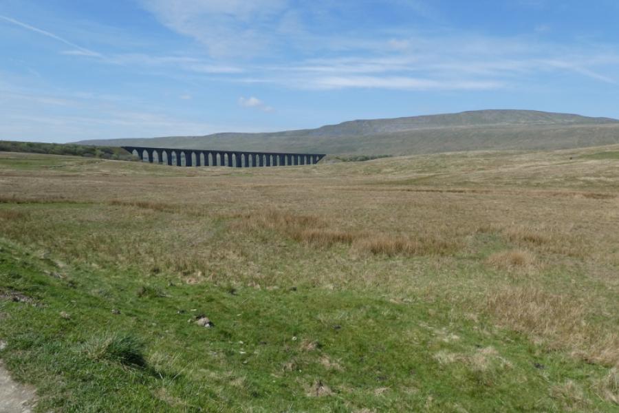
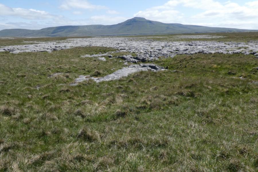
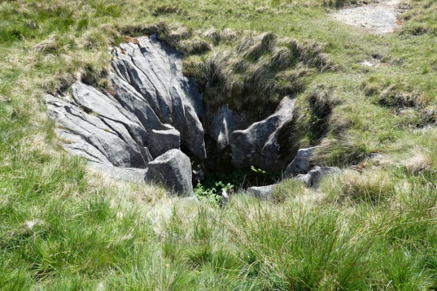
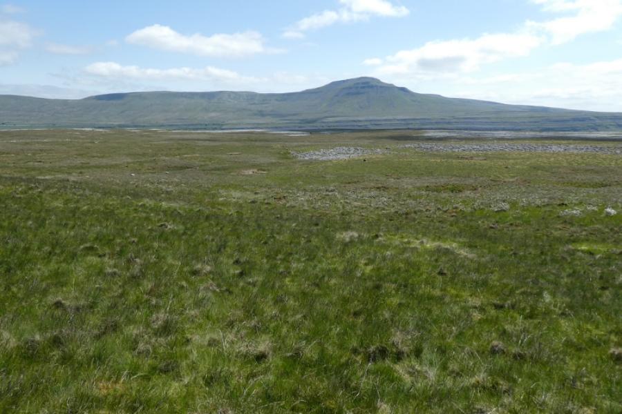
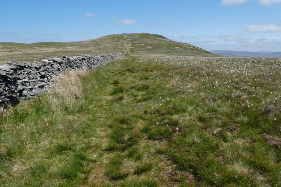
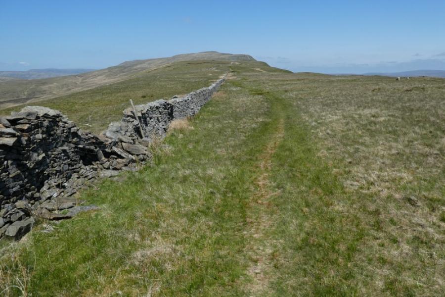
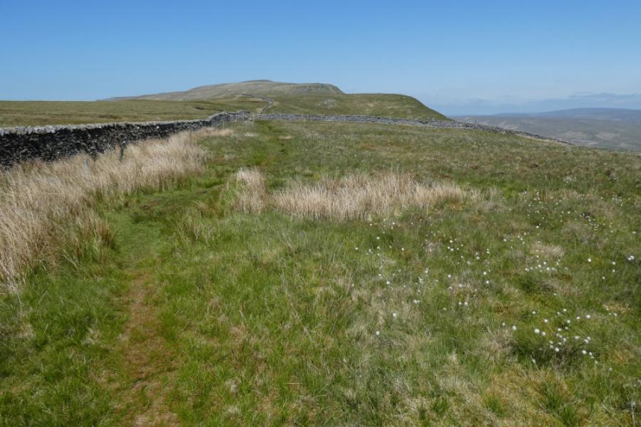
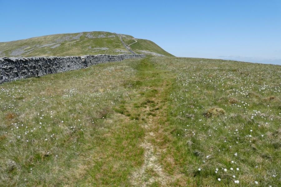
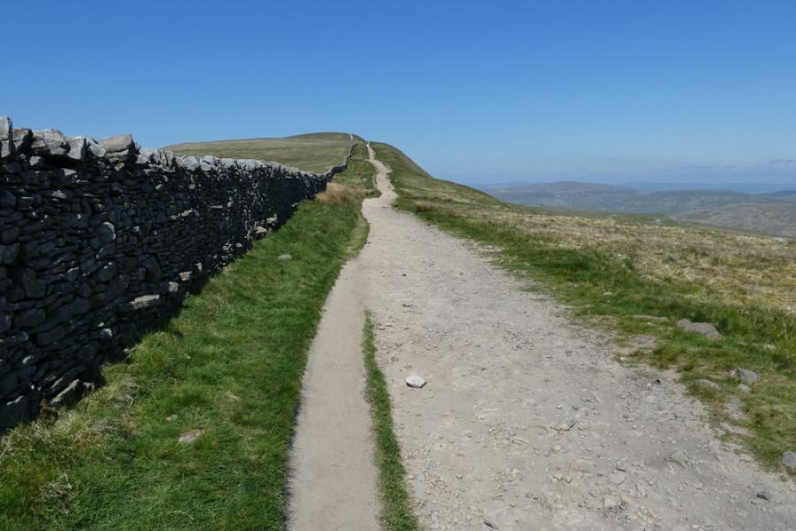
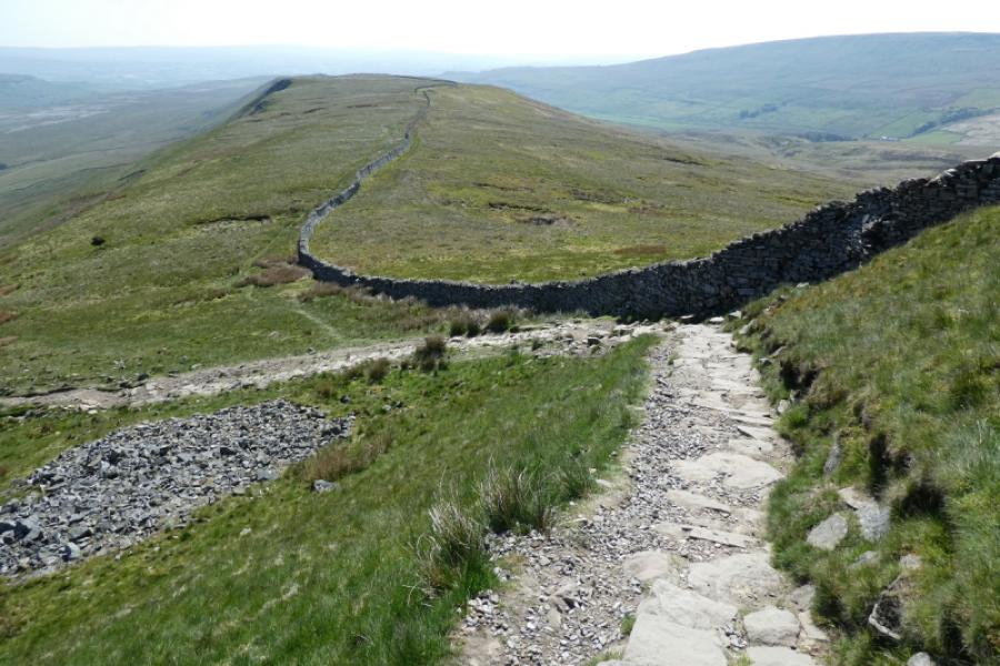
Whernside is the highest of the famous “3 Peaks” with Pen-y-Ghent and Ingleborough being the other two. This is the longest ascent from a public road and seems no better than any of the shorter routes. There are fine views in all directions including Pen-y-Ghent, Ingleborough, Great Coum and the Howgills. The path can be boggy in places after wet weather. Navigation is relatively easy as a wall goes all the way along the crest to the summit. There are some scenic potholes on the route but do not be tempted to explore them too closely as there may be very deep drops inside them.
Route
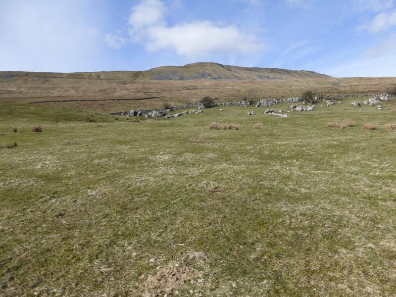
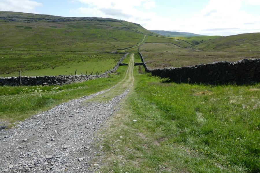
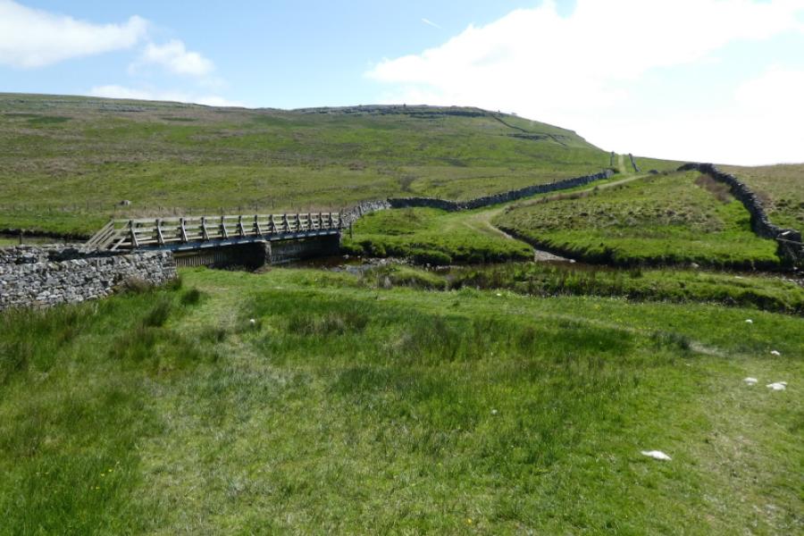
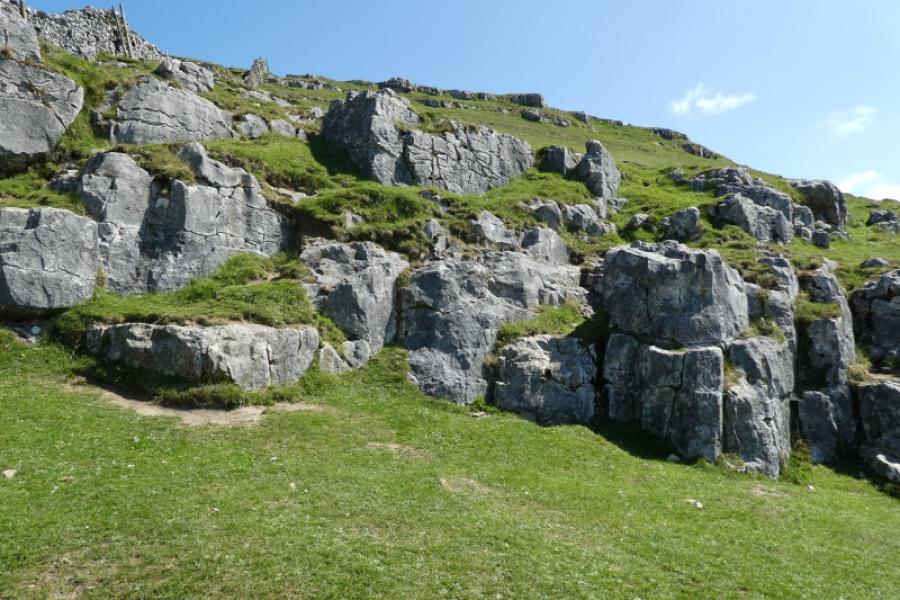
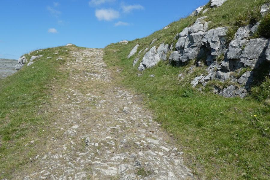
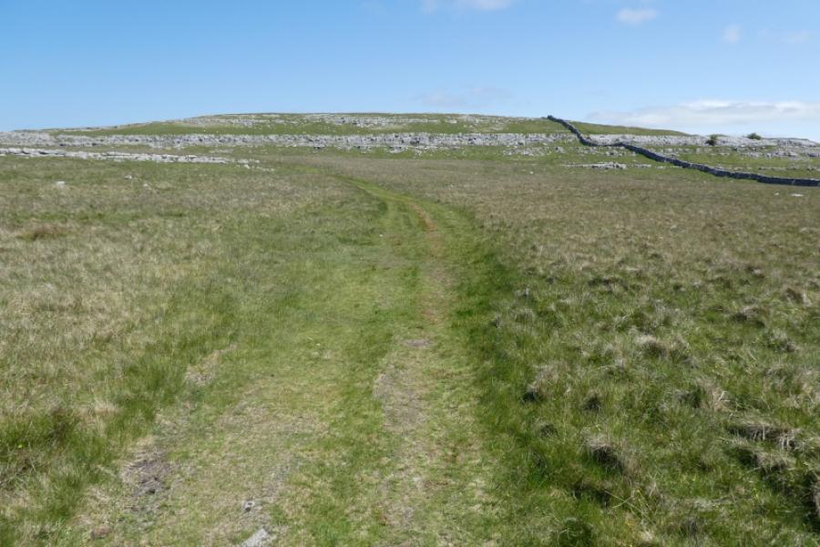
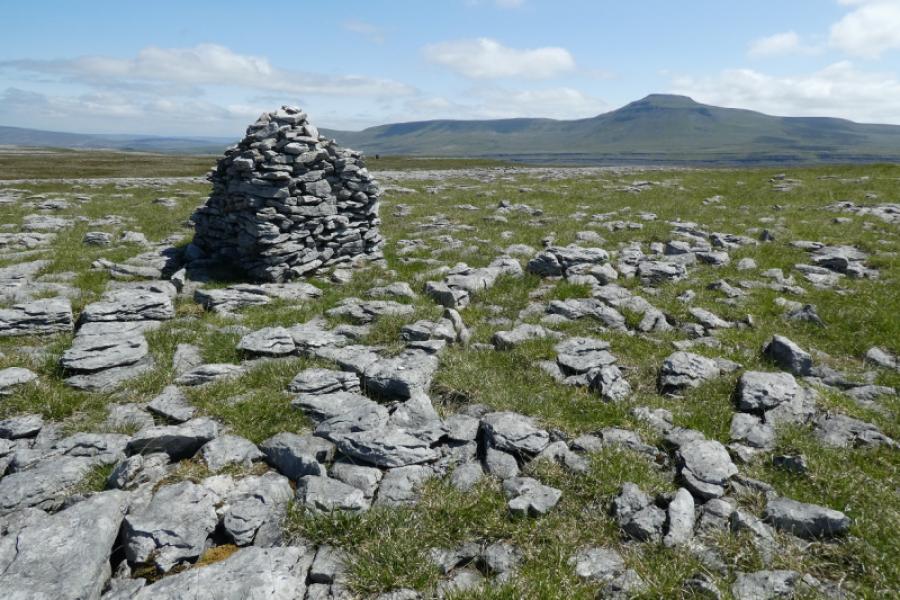
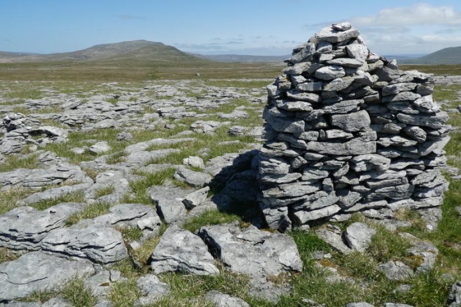
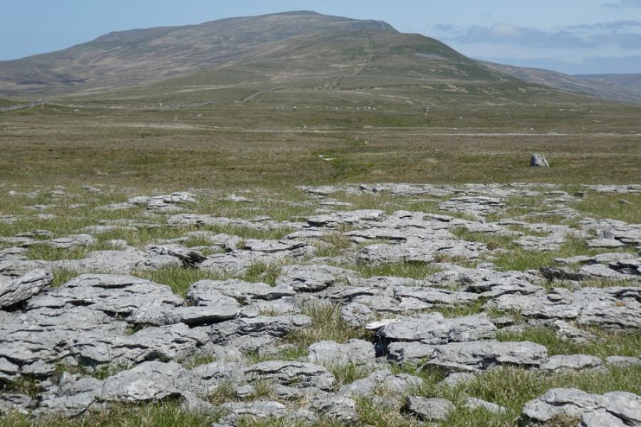
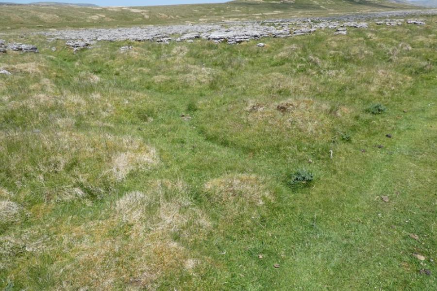
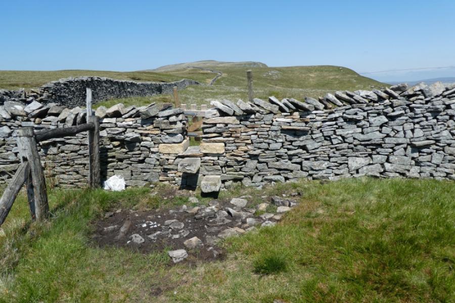
(1) Follow the track, using the footbridgeover the river (which feeds Thornton Force). Continue up the track and go through a gate where there is sometimes an ice cream van. Leave the track and ascend steep slopes to gain a track. Follow this meandering, mainly grassy track through some eroded limestone pavements. Note the wall over to the left which goes all the way to the summit. A sizeable cairn is soon passed. Continue until a low ridge forms to the left. Look for a path leaving the track in the direction of the ridge and follow it to eventually gain the ridge near to the wall. Continue on the path which steepens in places. Pass through a narrow gate in a wall and continue to join a very obvious main path which has come up from Bruntscar. It is still a fair way with much ascent to the summit. Follow this main path, stepped in places to reach the trig point which is behind the wall and marks the summit of Whernside, 736 m.
(2) Retrace the outward route
Notes
(a) This walk took place on 30th May, 2023.
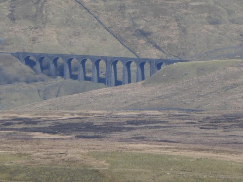
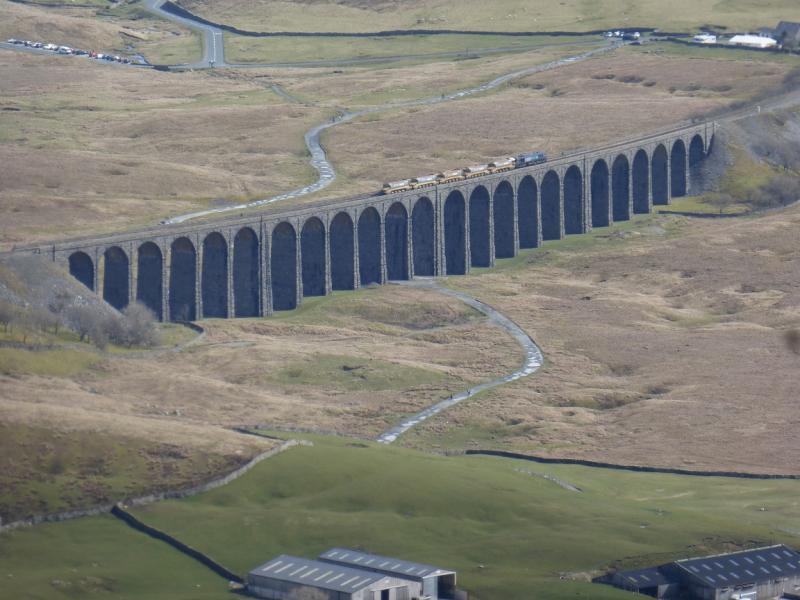
Photos - Hover over photo for caption. Click on to enlarge. Click on again to reduce.