Get Lost Mountaineering
You are here: England » Yorkshire Dales » Western Area
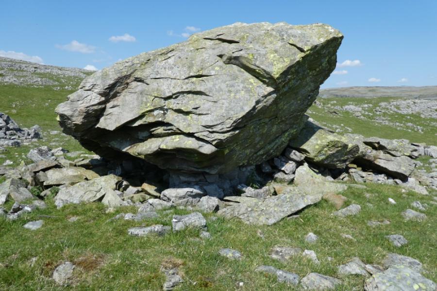
Norber and Norber boulders from Austwick
Norber and Norber boulders from Austwick
Start/Finish
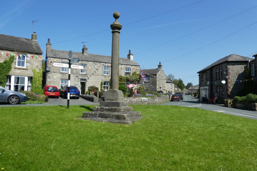
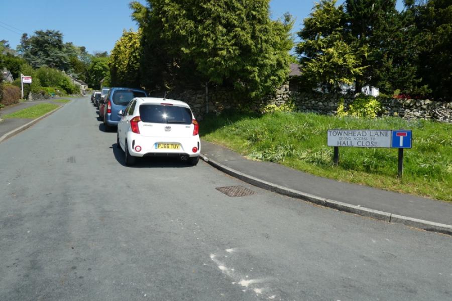
Austwick is a village off the A65 between Settle and Clapham. It is well signed off the A 65. There is usually plenty of kerbside parking in the village once Austwick Bridge (if coming from the south) is crossed at the start of the village. It is usually possible to drive and park nearer than the bridge so continue to the triangular green in the centre of the village then take the road for Horton. Go past the Game Cock Inn then turn left onto the road for Crummack up Townhead Lane (almost at the end of the village). Drive up the hill to a “crossroads” where the Pennine Bridleway crosses the road to Crummack. It may be possible to park at this crossroads. If not retrace and park down Townhead Lane. Parking at the crossroads saves about 2 km of walking compared to starting from Austwick Bridge.
Distance/Time
5 km About 3 hours (from crossroads)
Distance and time are very approximate as walkers are likely to do much wandering around the boulders.
Peaks
Norber, about 400 m, about SD 764 698. OL2 Yorkshire Dales: Western Area
Introduction
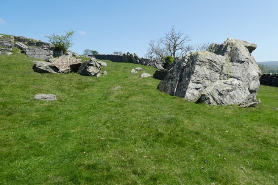
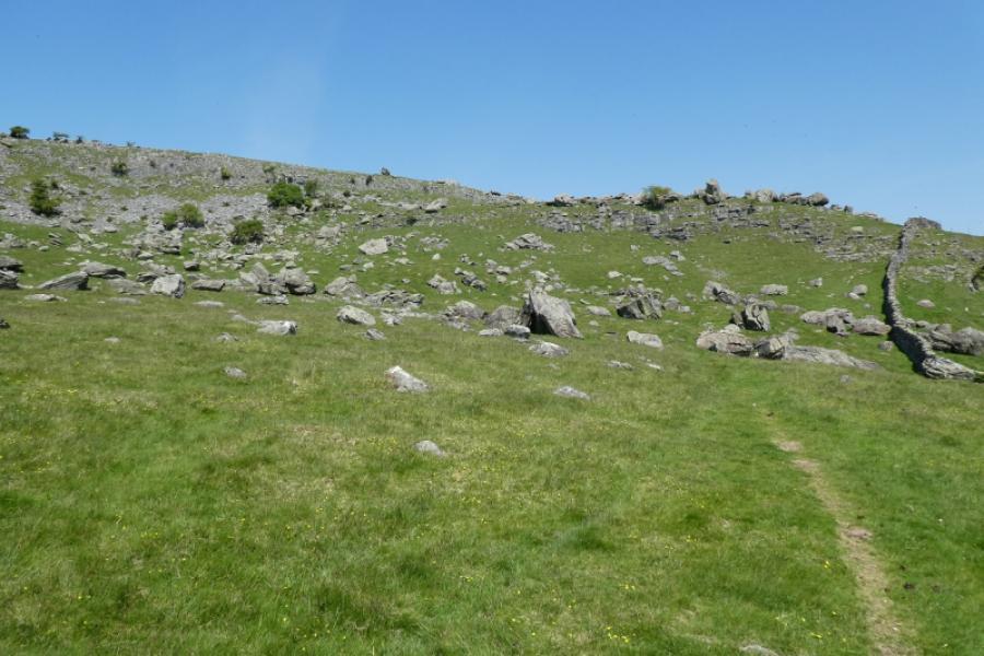
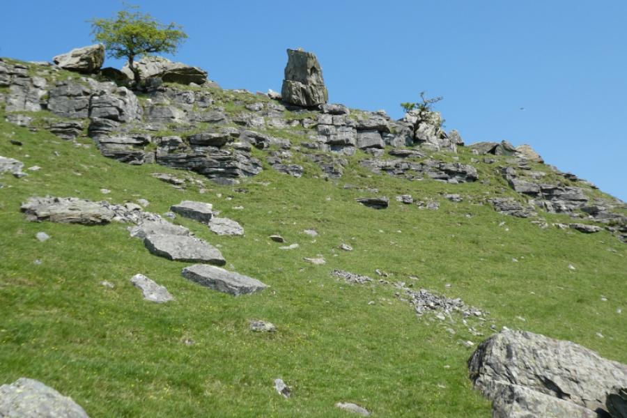
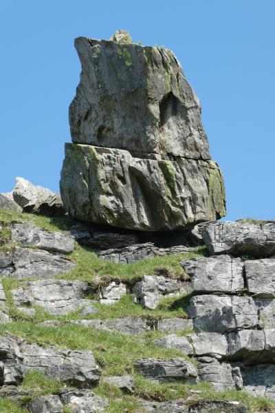
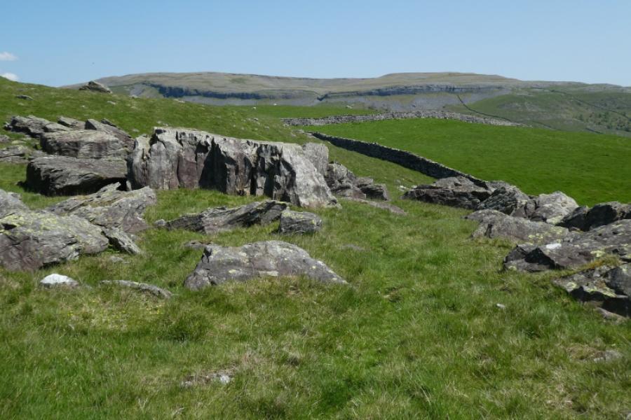
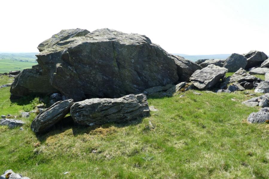
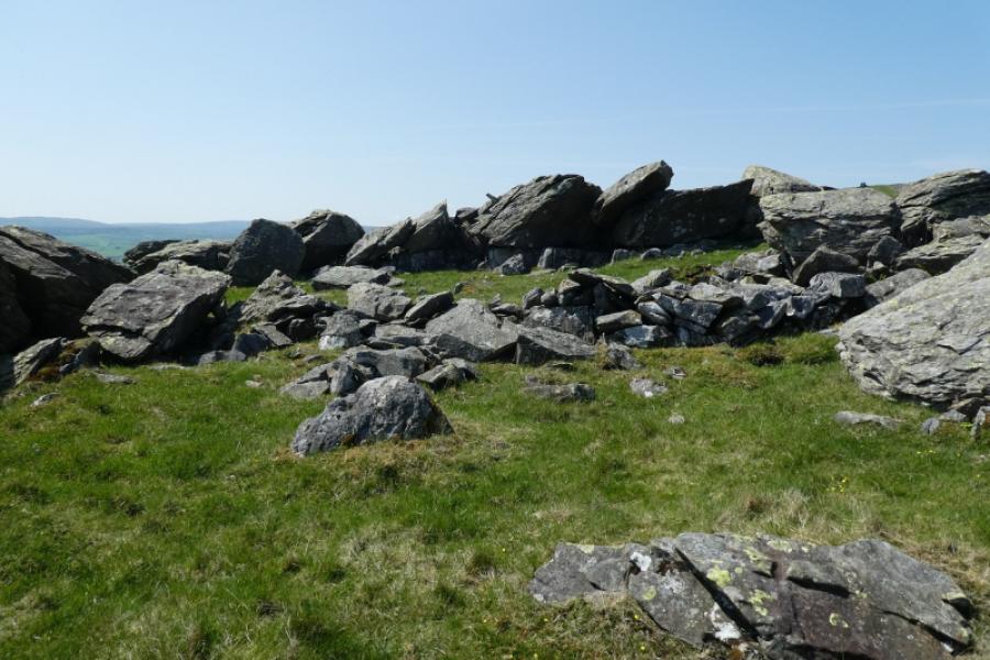
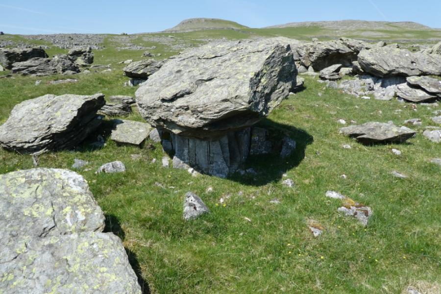
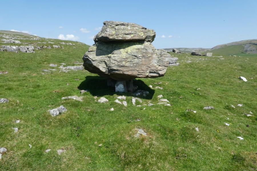
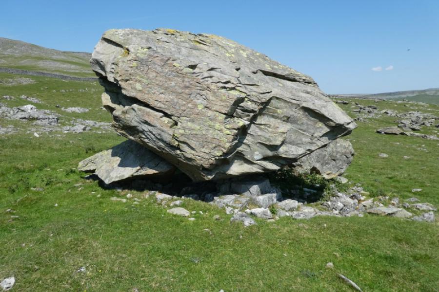
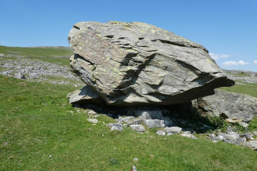
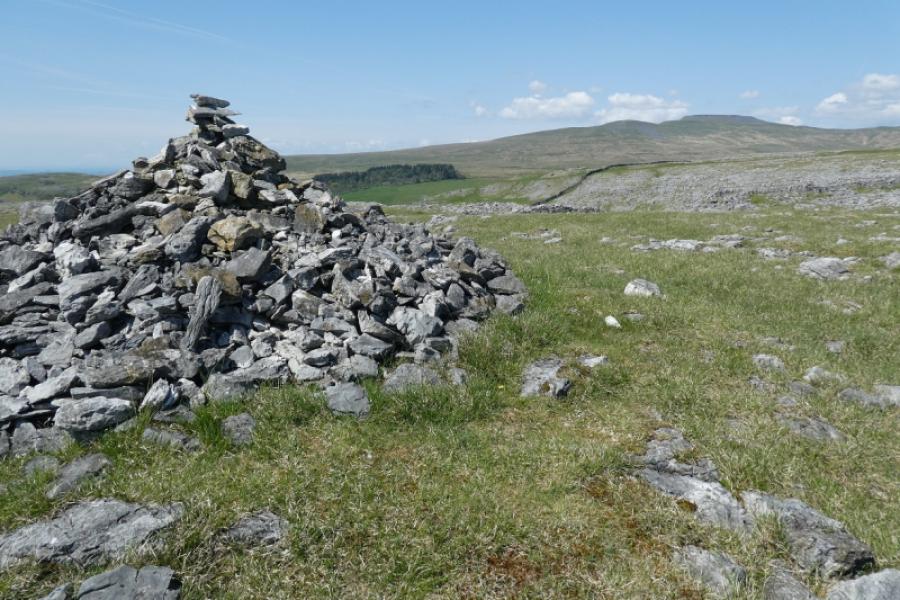
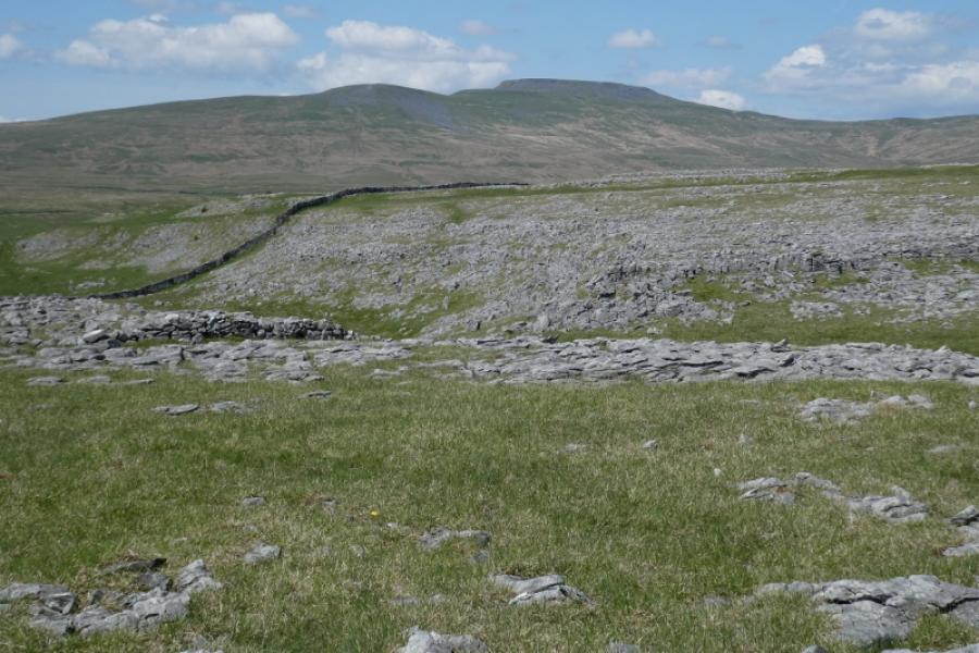
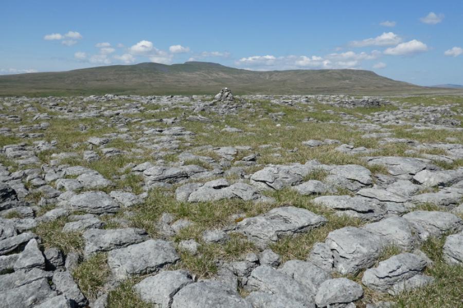
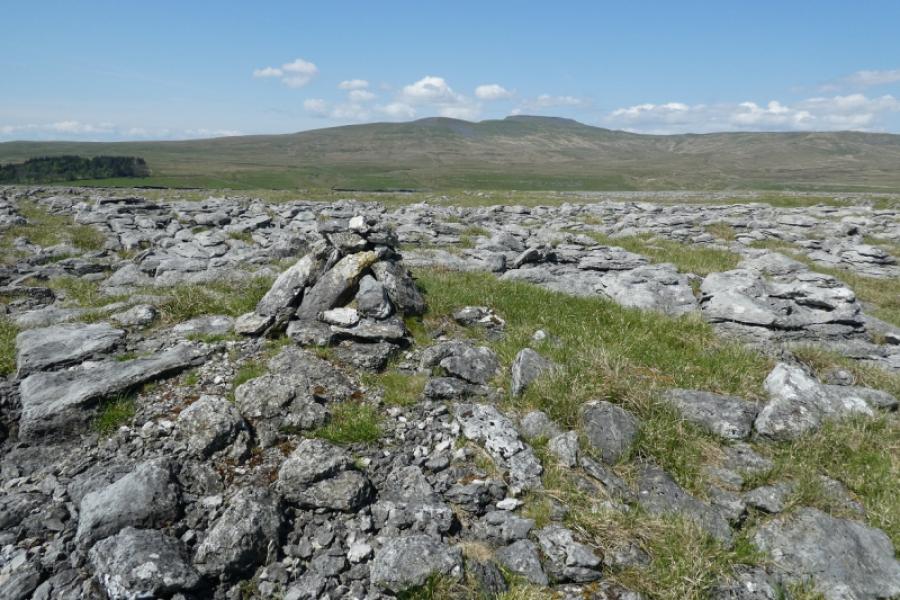
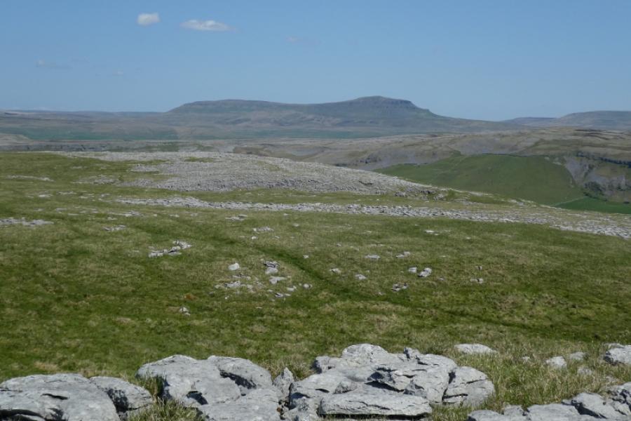
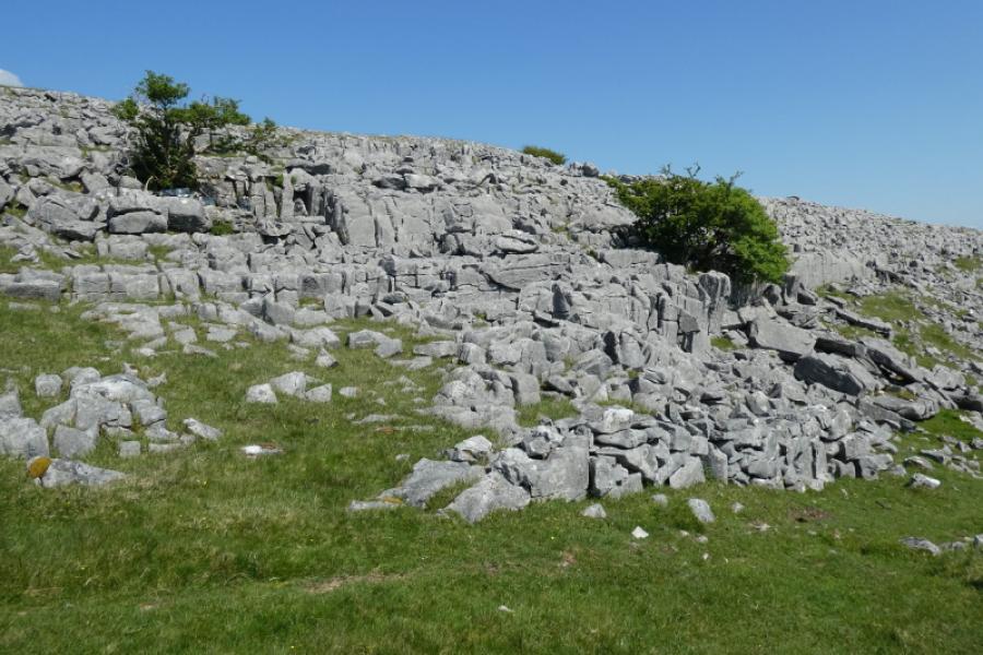
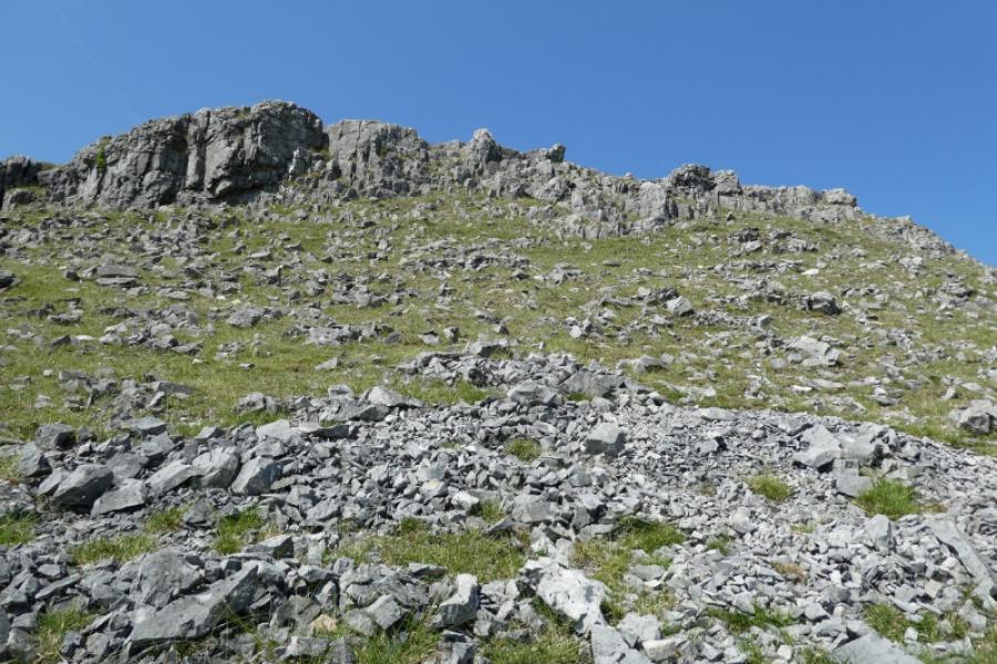
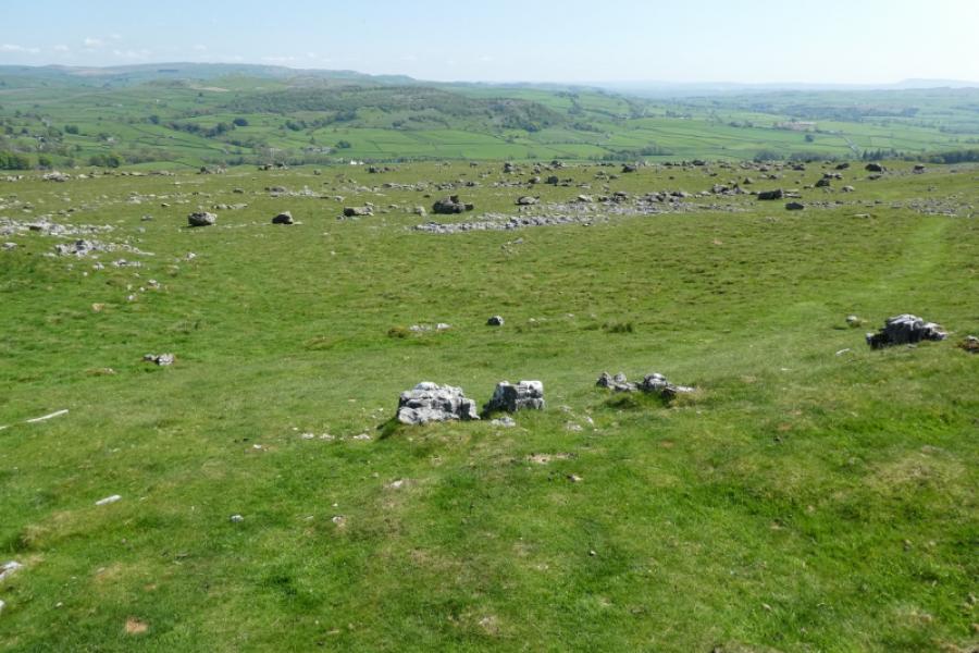
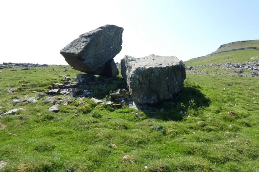
The Norber Boulders are the largest boulder field in the UK. Many are perched on smaller limestone rocks. A visit is highly recommended. It is well worth spending time wandering over all of the large area of boulders. The summit of Norber is not well defined hence the approximate height and grid reference. The ridge running south to north is broad and has several cairns of about the same height with Norber being the most southerly summit but not the highest point. There are excellent views to Ingleborough and Pen-y-Ghent.
Route
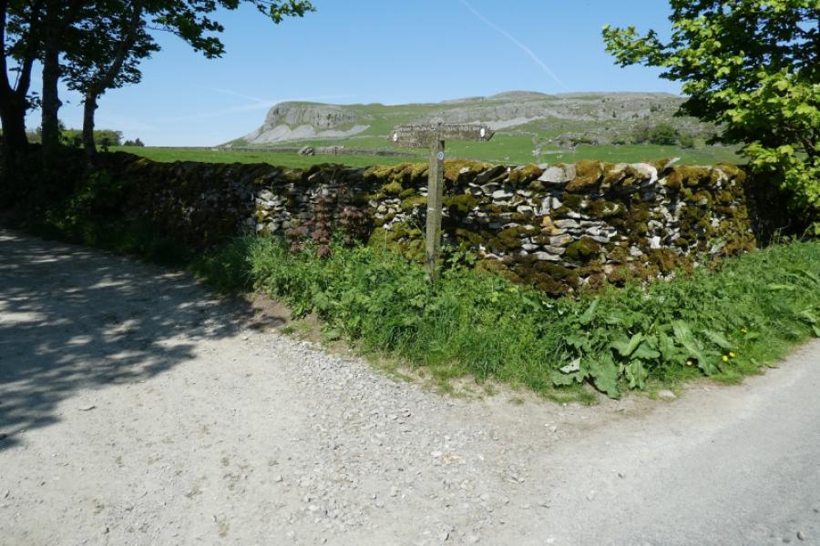
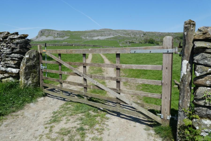
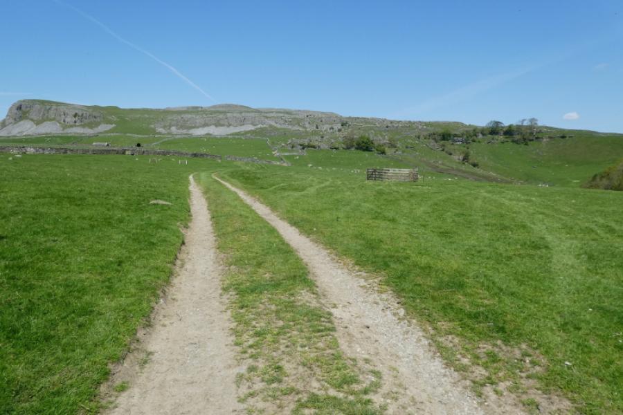
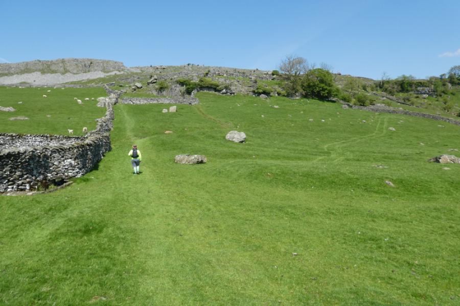
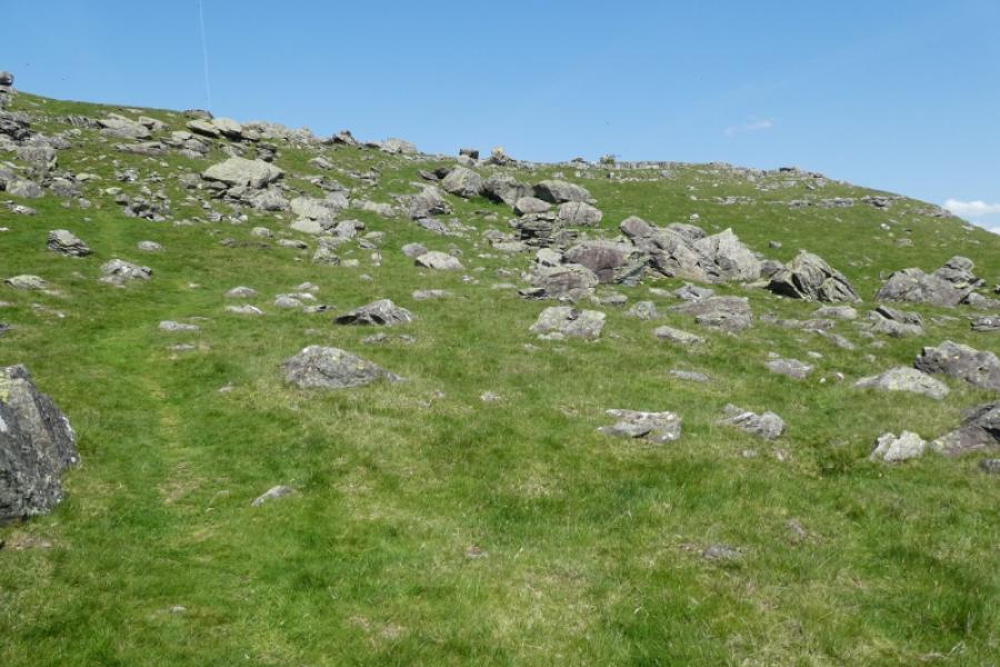
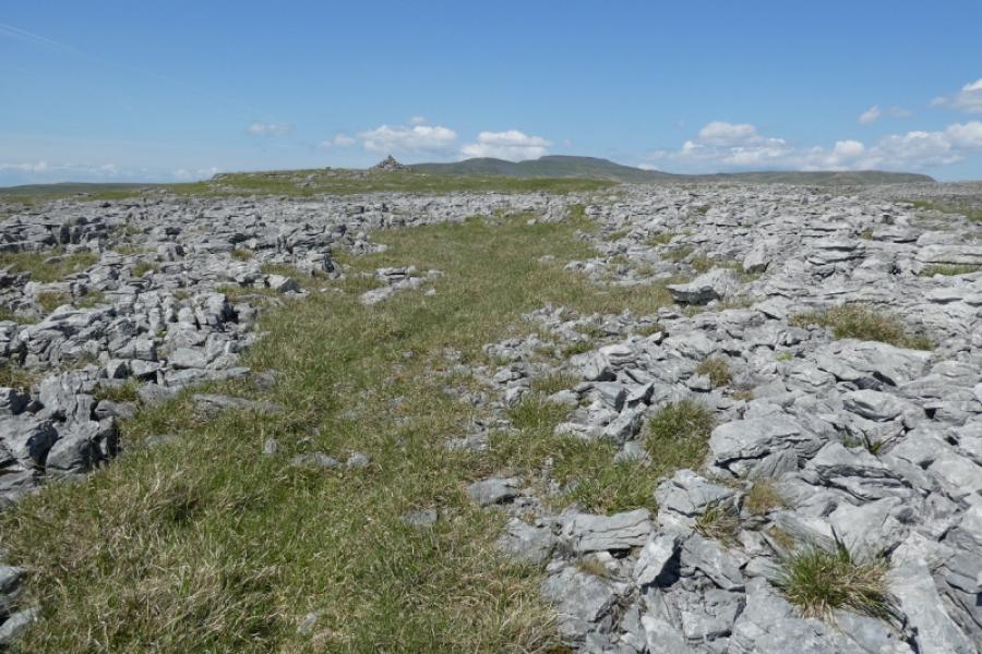
(1) From where the Pennine Bridleway crosses the road to Crummack, go left, west, then almost immediately, take the path on the right into a large field. Keep to the right of the wall until the path passes close to broken cliffs. This is the start of the boulders. One can wander anywhere but to be systematic, it might be best to go right, following a wall, passing a huge boulder perched on an edge, then ascending a little into the northern end of the boulders. Wander at leisure, looking for the boulders with least support. Head for the stile in the top corner of the field then ascend up, again weaving around, to pass more boulders before gaining the crest. Wander north, across limestone pavements, to pass several cairns. Retrace back along the crest to the cliffs at its southern end then descend carefully and follow a line below broken cliffs to recross the stile back into the field of boulders. Wander to the south this time then pick up the outward path and retrace back to the start.
Notes
(a) This walk took place on 20th May, 2023.
Photos - Hover over photo for caption. Click on to enlarge. Click on again to reduce.