Get Lost Mountaineering
You are here: Scotland » 02 River Tay to Rannoch Moor » North of Glen Lyon to Pitlochry
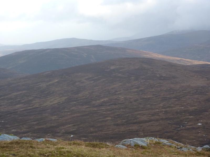
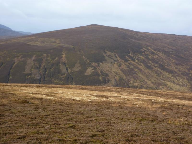
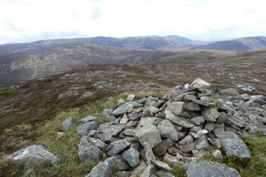
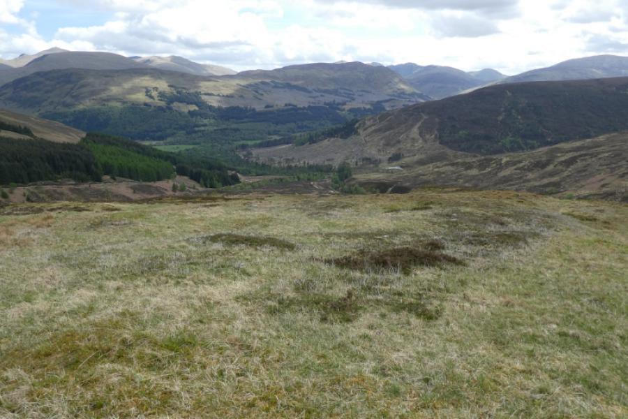
Meall a’ Mhuic from Innerwick in Glen Lyon.
Meall a’ Mhuic from Innerwick in Glen Lyon.
Start/Finish
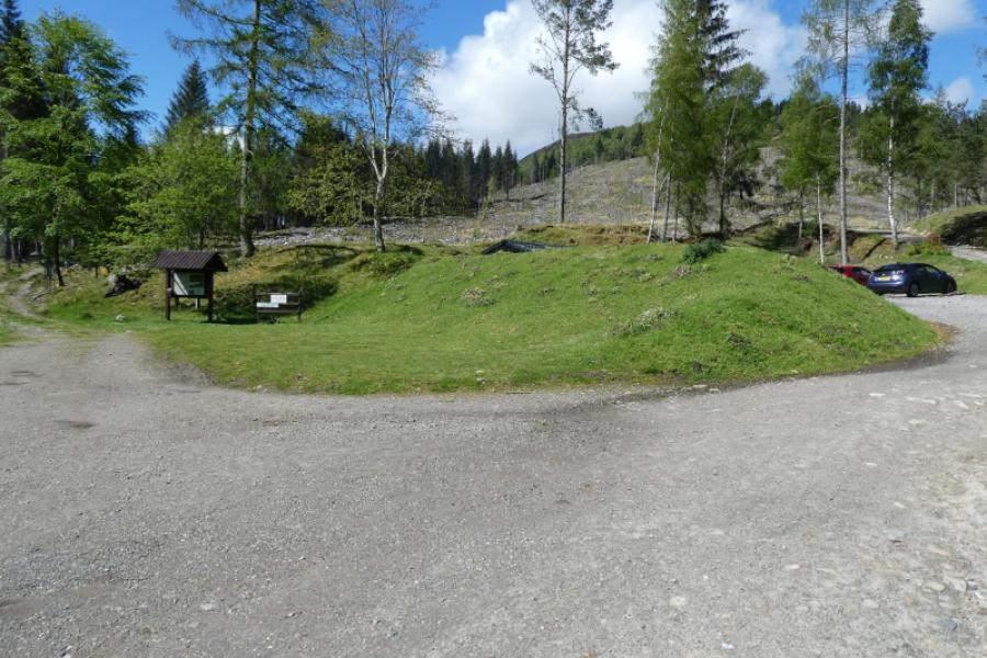
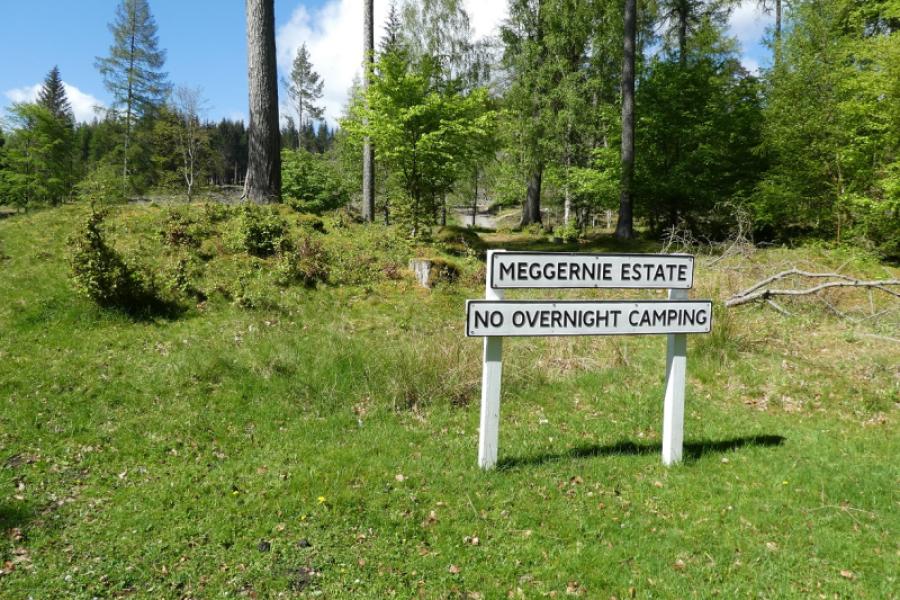
Innerwick in Glen Lyon which is just under 2 km from the Bridge of Balgie which can be reached by driving over the high road from Loch Tay. There is plentiful free parking, a picnic area with tables and toilets, all of which have been kindly provided by the Meggernie Estate who have also put up useful information boards. Please treat these facilities with respect.
Distance/Time
8 km About 3 – 4 hours
Peaks
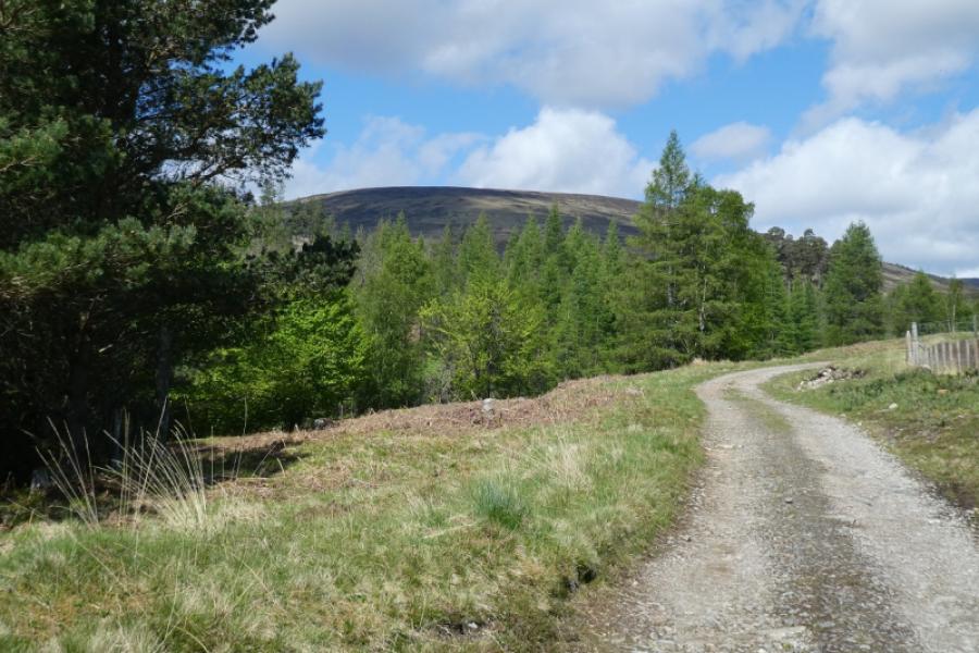
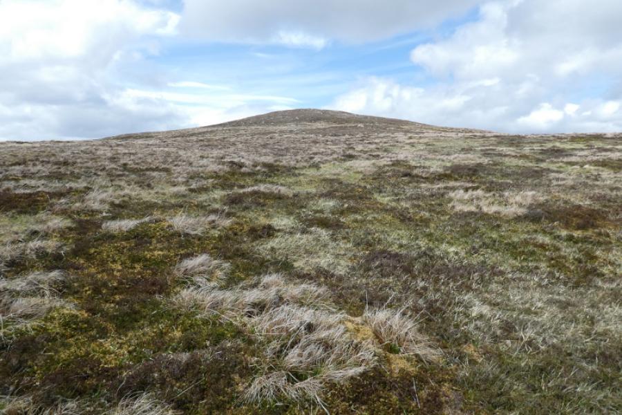
Meall a’ Mhuic, 745 m, NN 579 508. OS Sheet 51.
Introduction
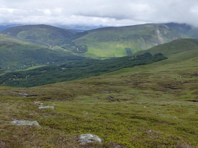
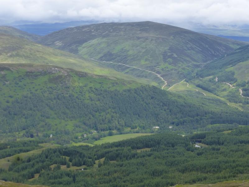
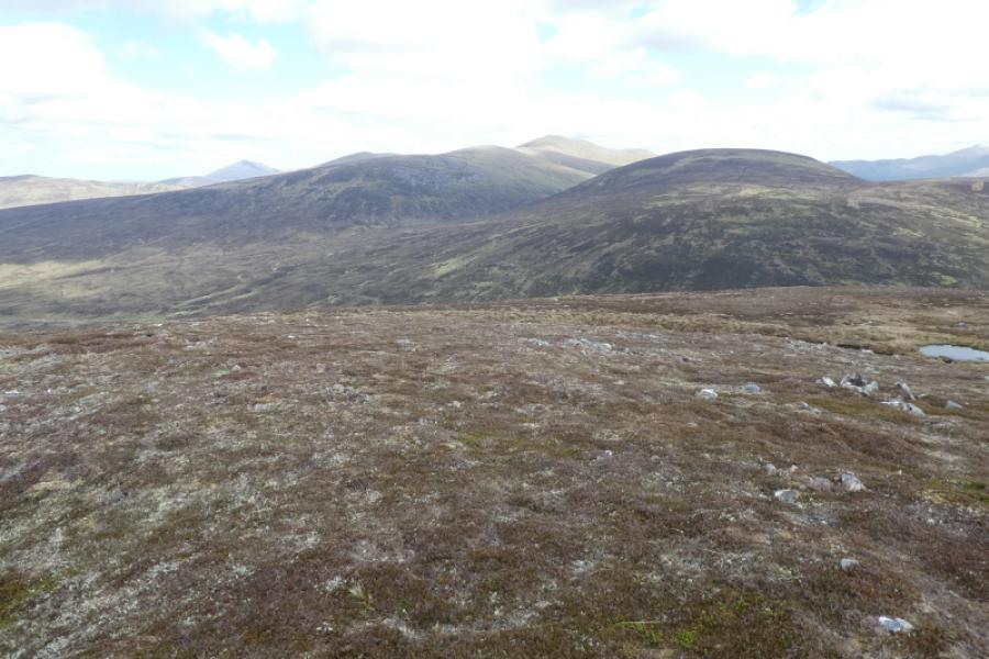
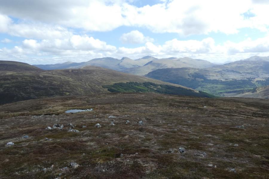
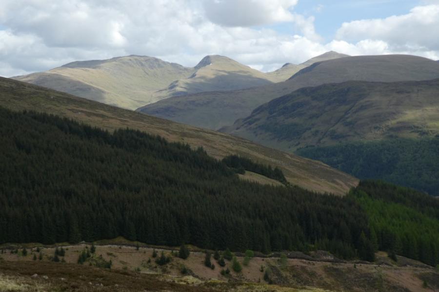
This is a pleasant walk, over mixed ground, which offers fairly quick access and fine views in all directions including the Ben Lawers range, the Glen Lochay hills, the Glen Lyon hills and further. There is a good land rover for much of the way up Meall a’ Mhuic.
Route
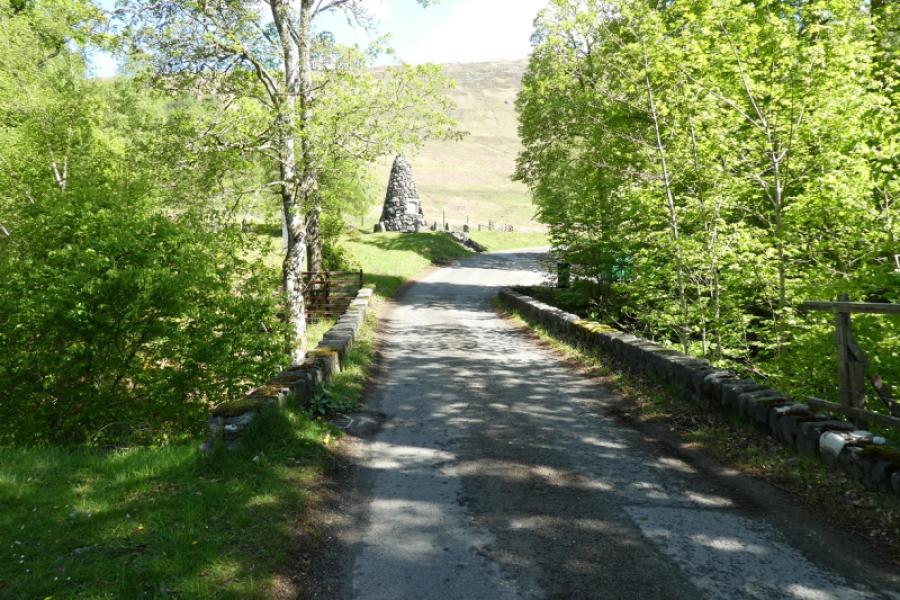
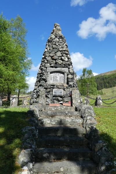
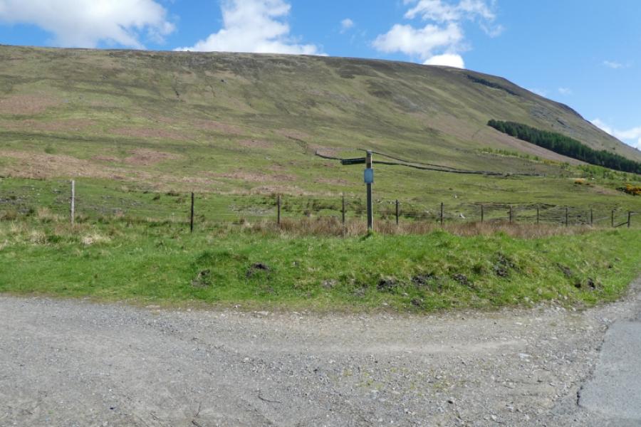
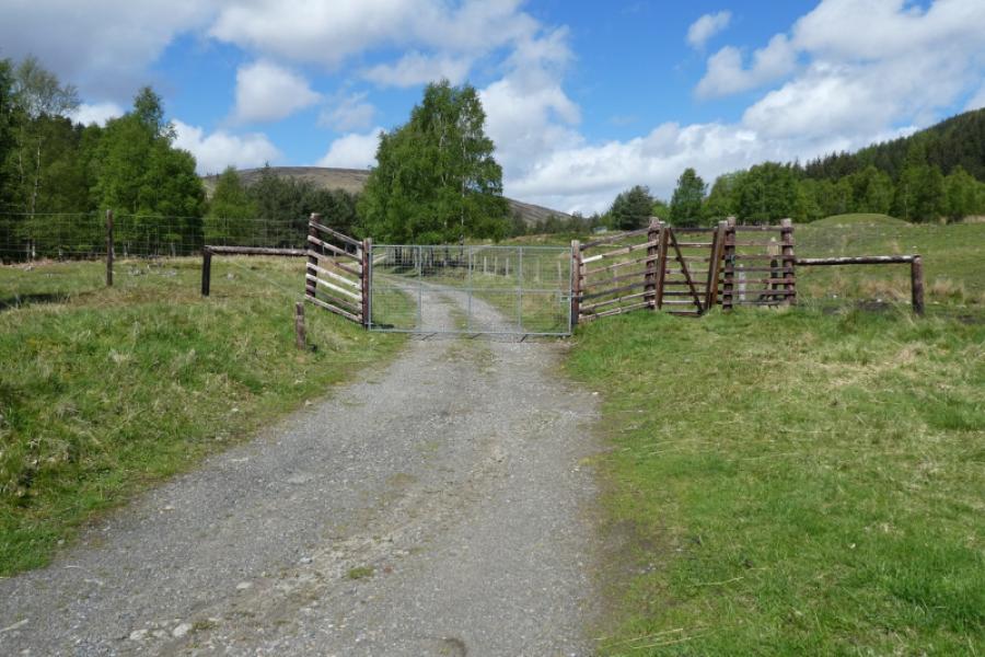
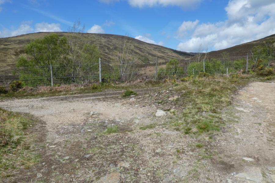
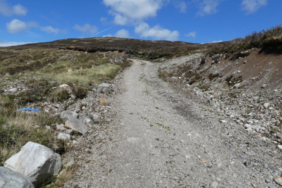
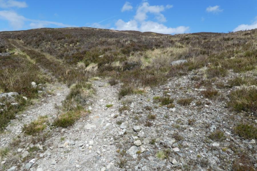
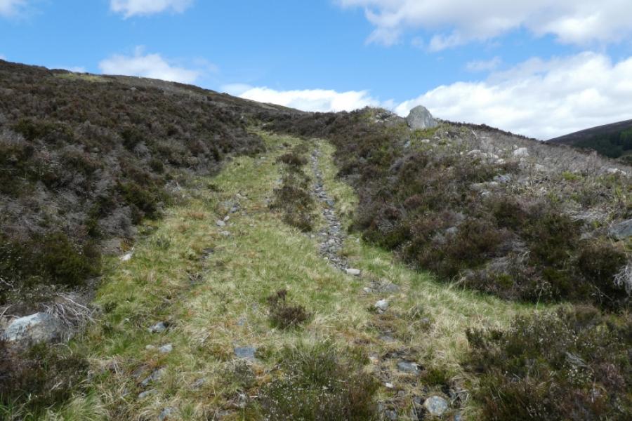
(1) From the car park, cross the river using the road bridge and turn up the track (signposted to Loch Rannoch) just after the war memorial. Follow this good land rover track up the glen for about 1 km until a T junction is reached with a fence beyond. Turn left and descend on the track almost to the river below until another track goes off to the right which is the track up Lairig a' Mhuic, crossing a bridge soon after its start. Follow this track up for about 500m to where another minor track forks off to the right. Take this track then fork immediately left to shadow the track just left for a short while. This track goes a fair way up Meall a' Mhuic but can be faint in places before appearing to finish at an old isolated wooden fence post. From here, continue uphill on mixed ground to reach the medium cairn which is the summit of Meall a’ Mhuic, 745 m.
(2) Retrace the outward route to descend back to the start.
Notes
(a) This walk took place on 5th August, 2008 and 3rd November, 2010.
(b) There is an alternative route to the foot of Meall a' Mhuic: go up the track at the top of the car park (the track to Cam Chreag). After crossing the obvious bridge, take the track on the right which leads to the foot of the Lairig a' Mhuic track decribed above but this means crossing a burn which may be tricky after rain and impossible in spate.
Photos - Hover over photo for caption. Click on to enlarge. Click on again to reduce.