Get Lost Mountaineering
You are here: England » Yorkshire Dales » Western Area
Fountains Fell, S Top & Darnbrook Fell from Halton Gill road
Fountains Fell, S Top & Darnbrook Fell from Halton Gill road
Start/Finish
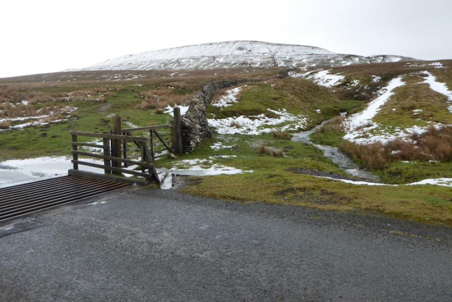
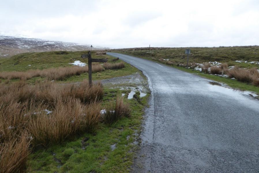
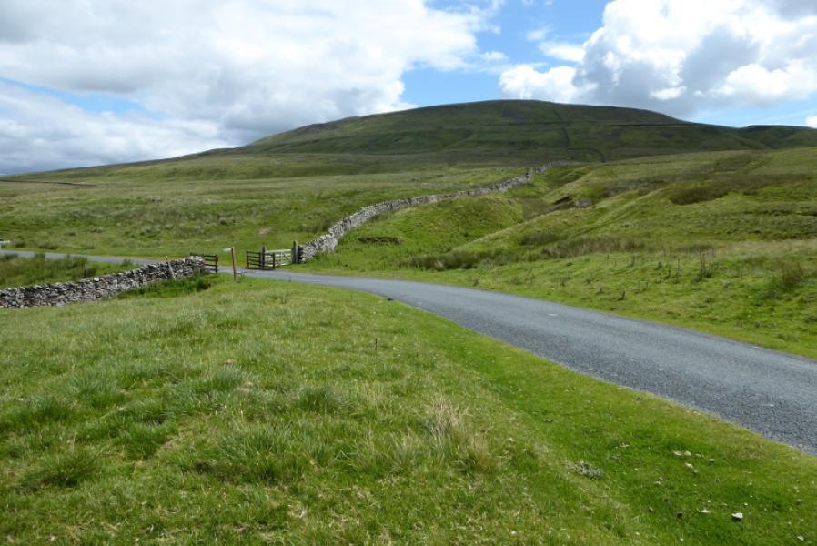
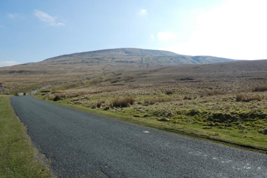
About 4 miles up the road to Halton Gill from Stainforth (on the Settle to Horton-in-Ribblesdale road) at SD 842 714. The Pennine Way sign is just after a cattle grid as the road starts to descend. The track going left for Pen-y-Ghent is about a mile before here. Parking has to be on the verge which may be soft in places. The road is also known as the Silverdale Road. It can soon be blocked by snow in winter.
Distance/Time
11 km. About 4 hours.
Peaks
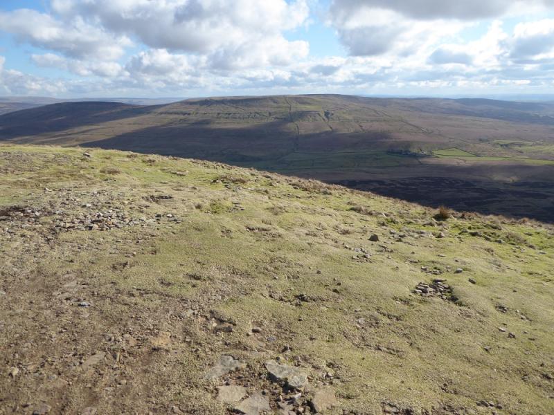
Fountains Fell, 668 m, SD 864 716.
Fountains Fell South Top, 662 m, SD 869 708.
Darnbrook Fell, 624 m, SD 884 728. OL2 Yorkshire Dales: Western Area
Introduction
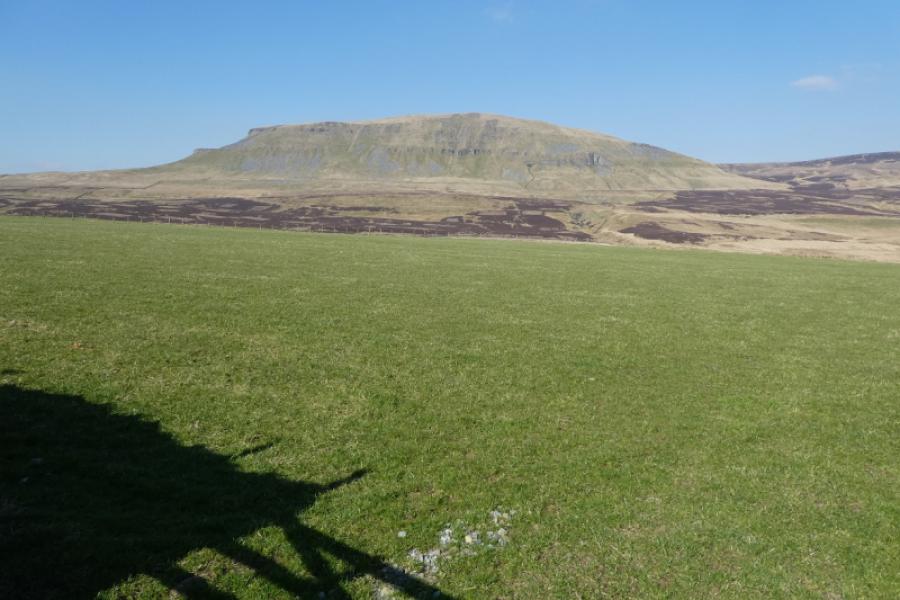
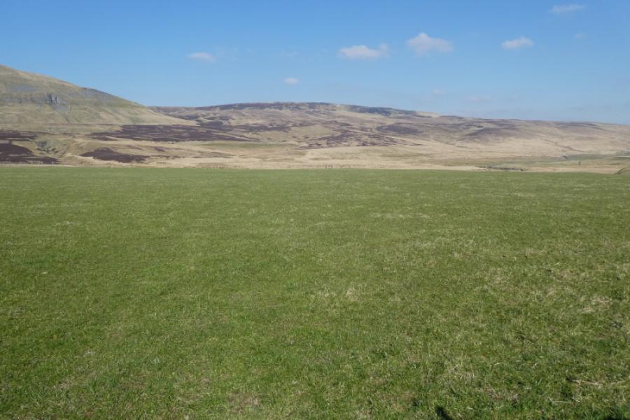
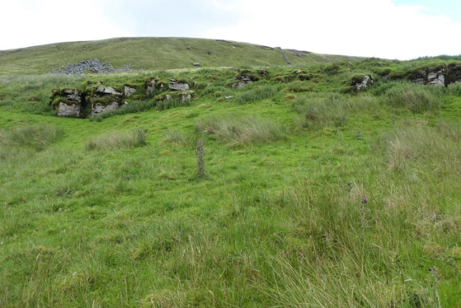
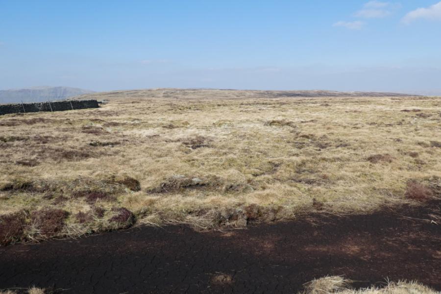
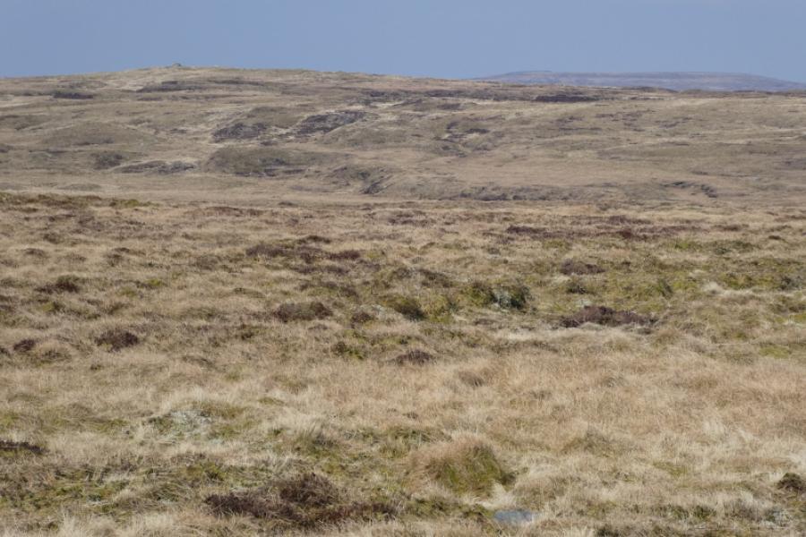
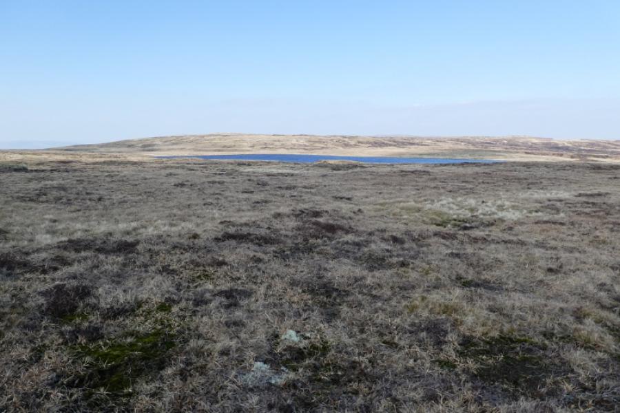
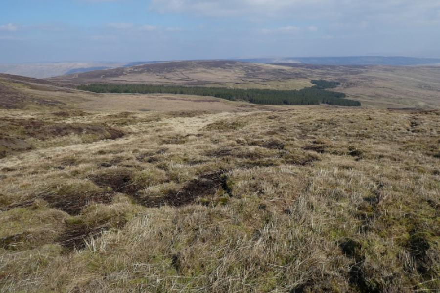
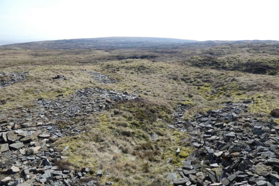
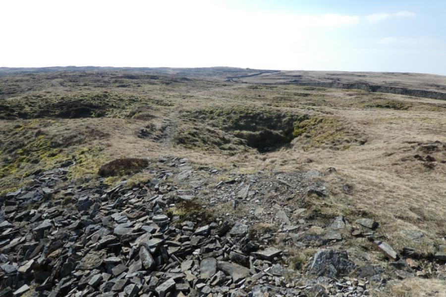
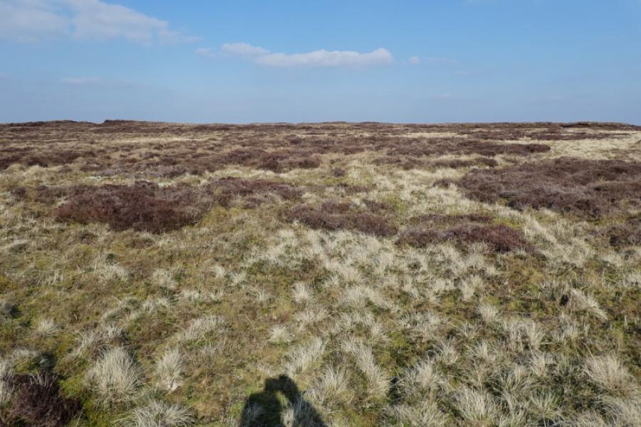
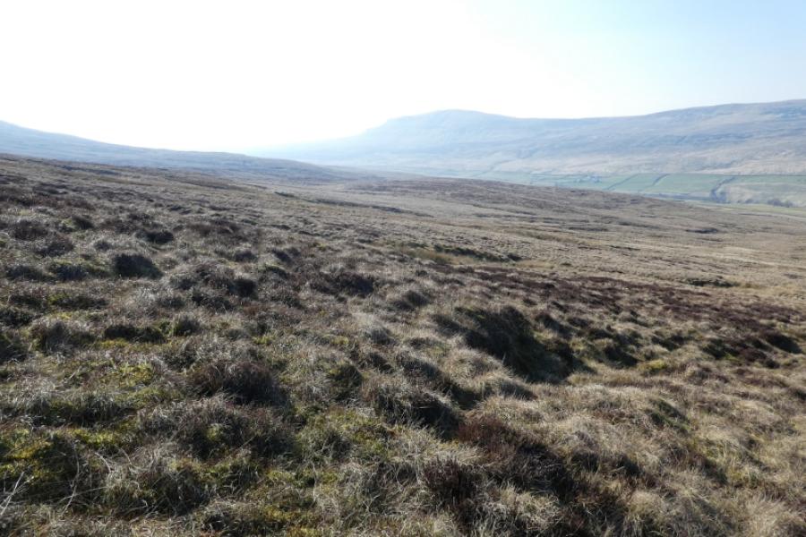
Fountains Fell is just across the road from Pen-y-Ghent. Navigation to its summit is very straightforward even in mist but it is best saved for a clear day when the views are superb in all directions but especially to Pen-y-Ghent. This route also visits the south top of Fountains Fell and there are views of Fountains Fell Tarn which lies between the two tops. Darnbrook Fell is effectively the NW top of Fountains Fell; it is fairly rough so best to stick to whatever paths can be found. This is an ideal walk for a short winter's day. The ascent from the Halton Gill road to Fountains Fell can be rough, boggy and steep in places.
Route
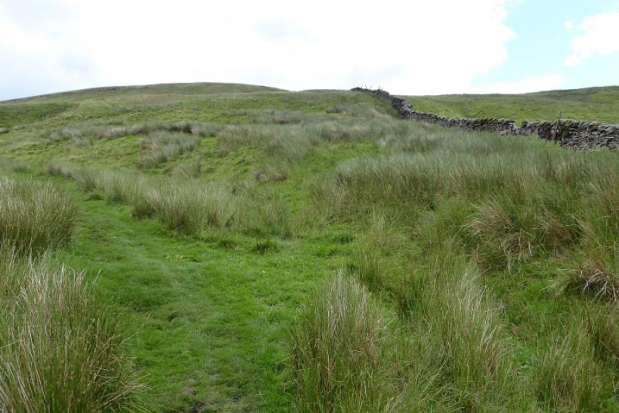
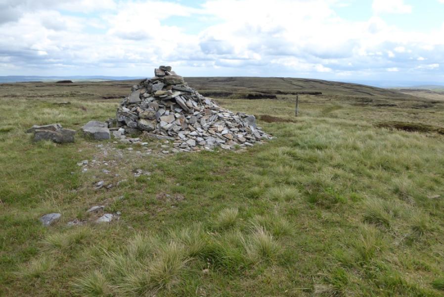
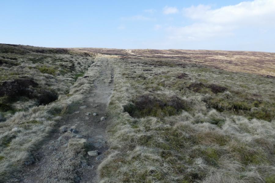
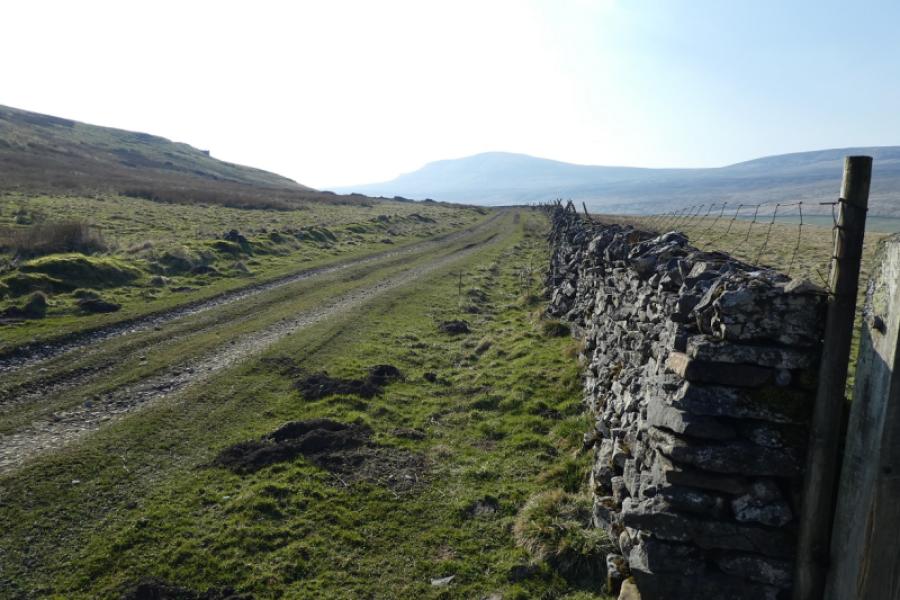
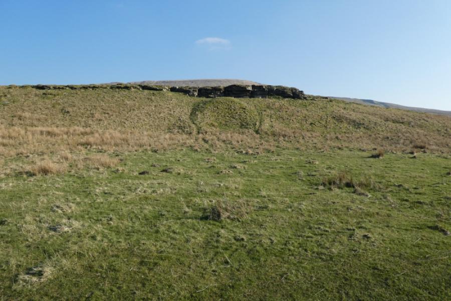
(1) From the Pennine Way sign on the road, walk SE up a path which is never far from the wall on the right. After about 800 m, the Pennine Way swings left but this route continues straight up shadowing the same wall. A final steep section reaches a the summit plateau and the wall reaches a T junction. Cross the wall by a not very good stile. A medium cairn is about 100 m further and this is the summit of Fountains Fell, 668 m.
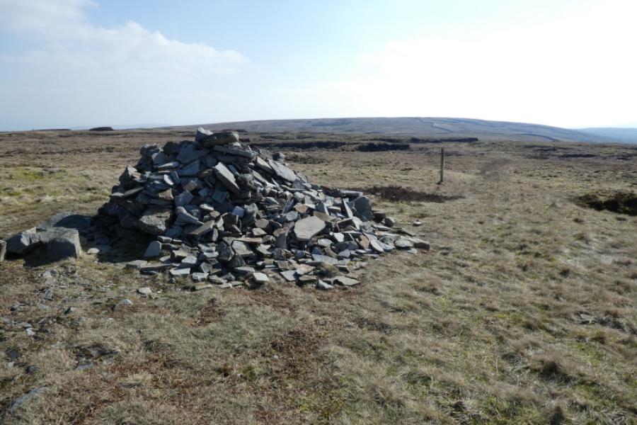
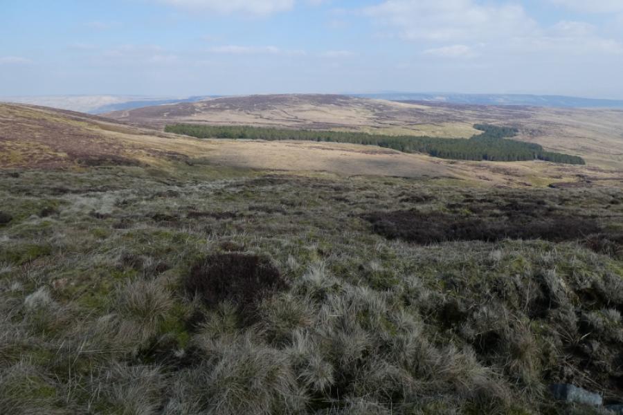
(2) Follow the obvious path descending south east with some marker posts to begin with. The tarn will be seen from the col then the path converges with a wall. The highest point is on the north east side of the wall and about 40 m from it. There is a tiny cairn marking the summit of Fountains Fell South Top, 662 m.
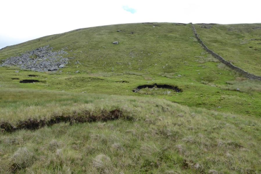
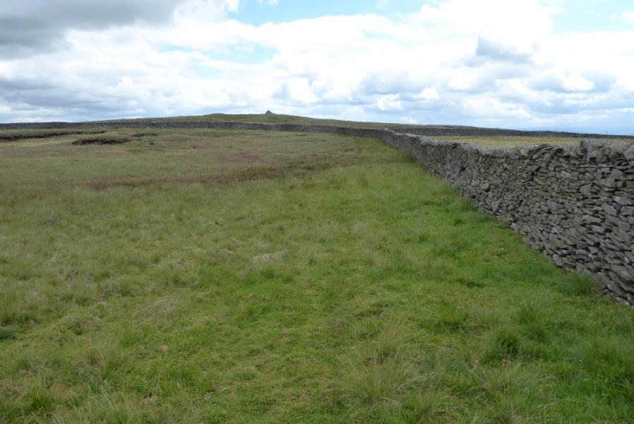
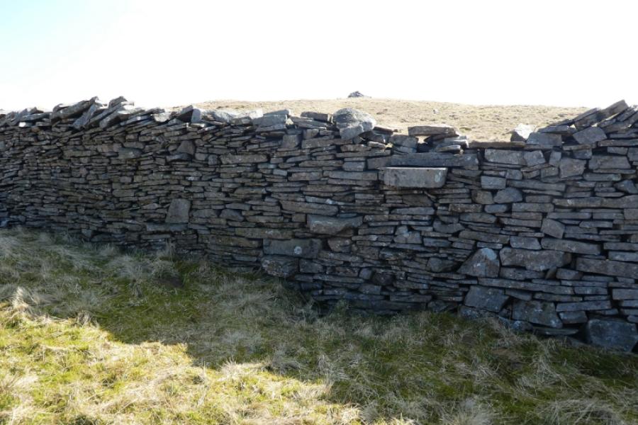
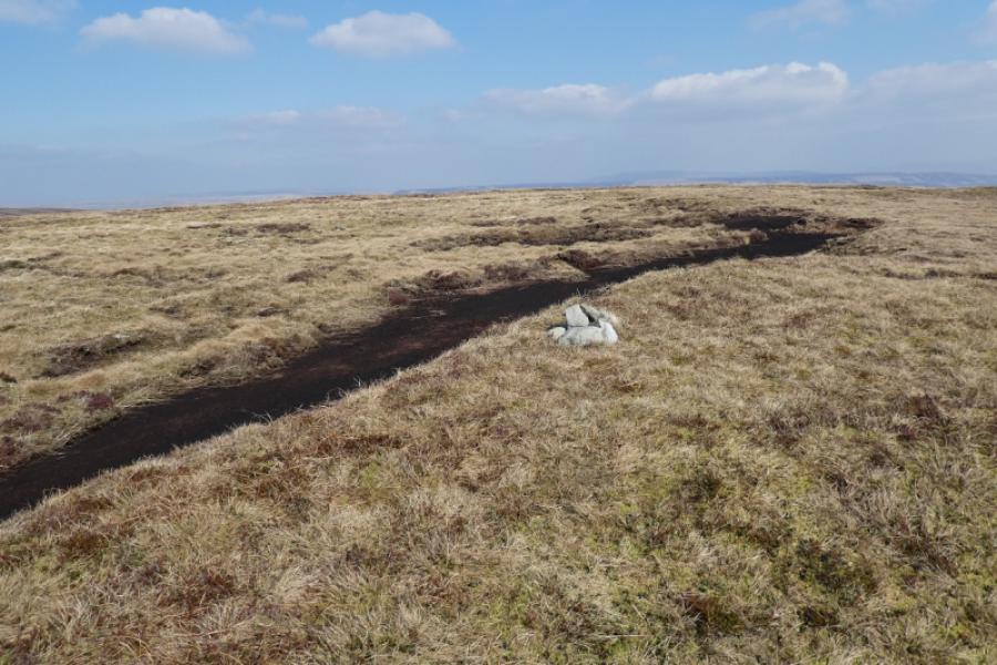
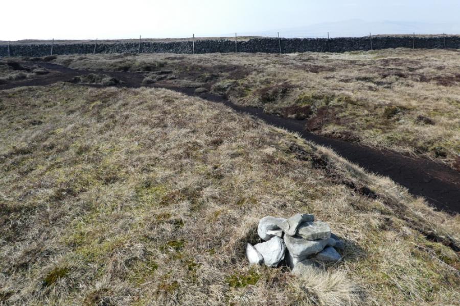
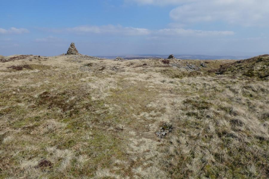
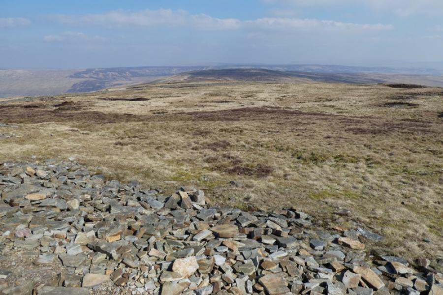
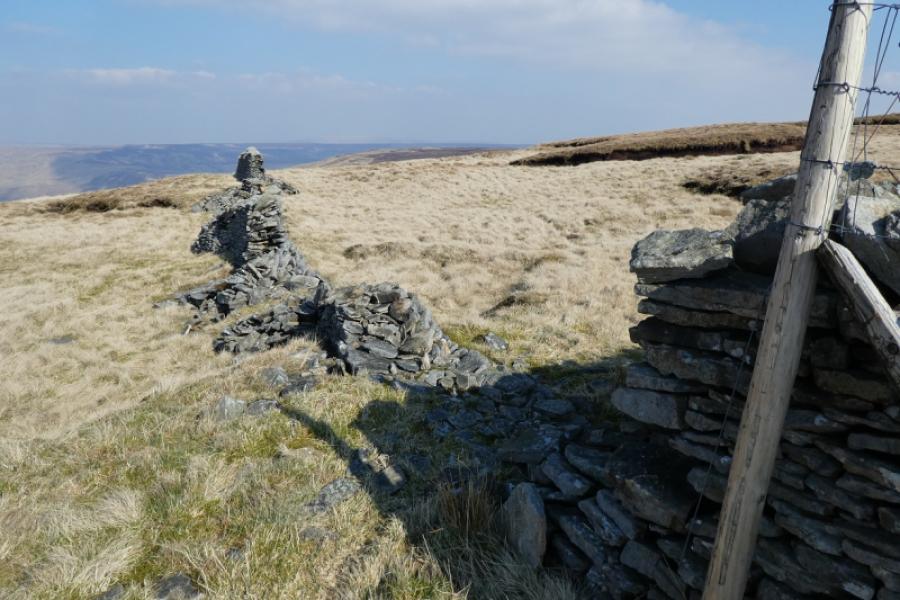
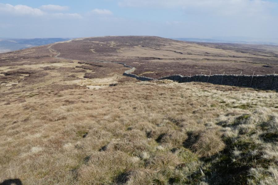
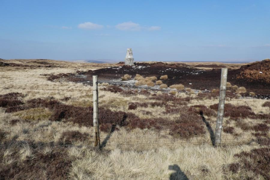
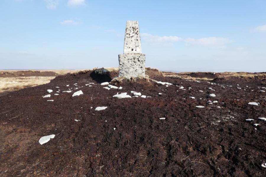
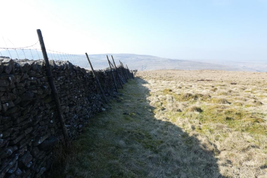
(3) From the summit, head roughly NE over pathless ground which is a bit rough. Reach the obvious Pennine Way path in less than 1 km and follow it NW to the wall just after the obvious cairns. Cross the wall then follow it NE, just past where another wall joins from the right until it becomes broken and can be crossed. Either follow the wall coming in from the right, on its N side, until another wall going NE can be followed or cut the corner on some slightly rough ground to reach the wall going NE. Cross this wall, to its E side, as soon as possible and follow the wall until it meets a wall/fence coming up from the NW. Follow this wall/fence up, roughly SE. This wall/fence has to be crossed and that won't be easy as there is no stile so pick the crossing point carefully. Follow the wall/fence up to its highest point where the summit is about 20 m left. A trig point on a peat mound marks the summit of Darnbrook Fell, 624 m. Resist the temptation to leave the wall going NE and head across open ground towards the summit as it is very wet and rough so progress will be slow.
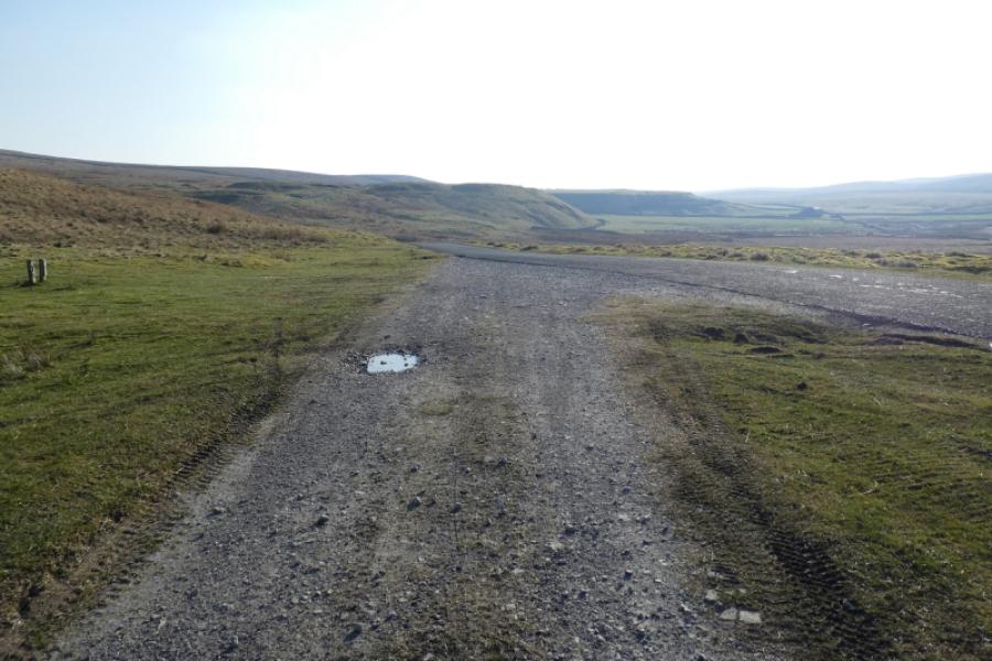
(4) Retrace down the wall/fence, crossing back over then follow it all the way down to reach a landdrover track, Turn left and follow the track which joins the Halton Gill road just before the short steep section back to the start.
Notes
(a) This walk took place on 20th March, 2022.
Photos - Hover over photo for caption. Click on to enlarge. Click on again to reduce.