Get Lost Mountaineering
You are here: England » Nottinghamshire
Thorpe Salvin, Chesterfield Canal & Lindrick Dale Loop from Thorpe Salvin
Thorpe Salvin, Chesterfield Canal & Lindrick Dale Loop
from Thorpe Salvin
Start/Finish
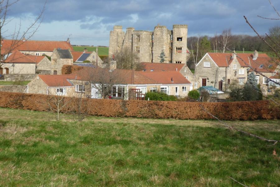
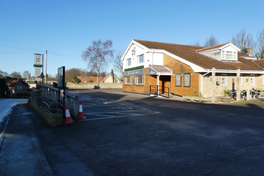
Thorpe Salvin village which is to the west of Worksop and to the east of Harthill. There is a pub in the village called The Parish Oven which has the postcode S80 3JU. Parking is best on the hill down from the pub or in the pub car park if allowed to park there. You cannot park anywhere in the village as there are many double yellow lines.
Distance/Time
8 km About 2 – 3 hours
Peaks
No obvious peaksbut some gentle slopes.
OS Explorer279: Doncaster, Conisbrough, Maltby & Thorne.
Introduction
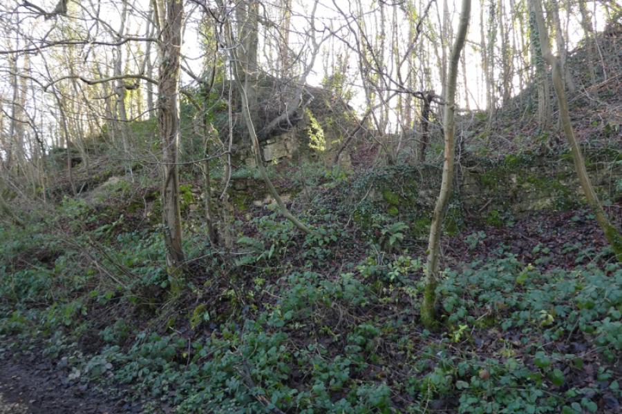
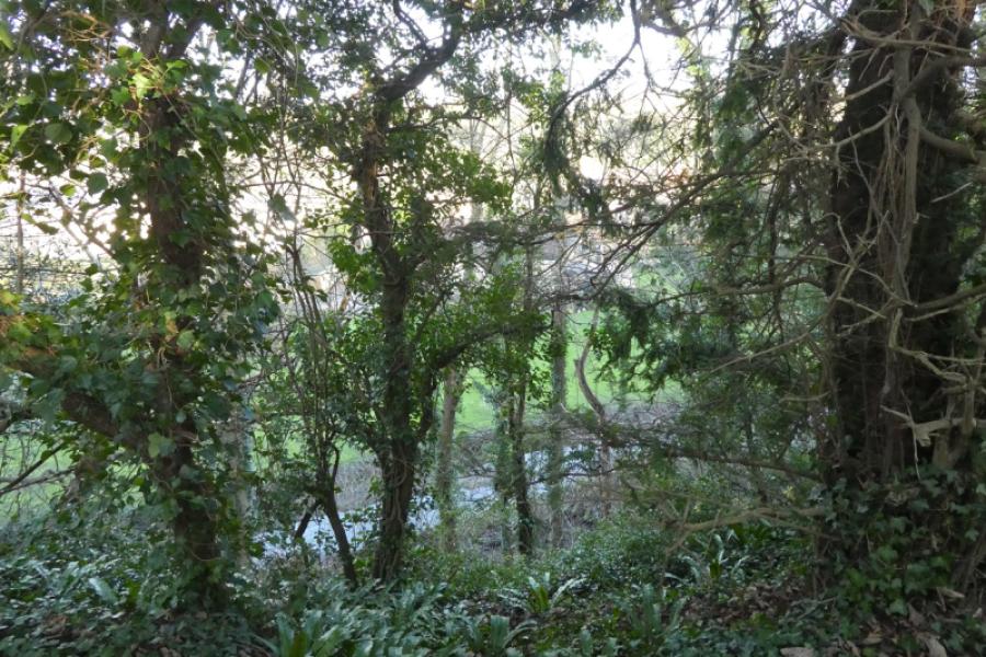
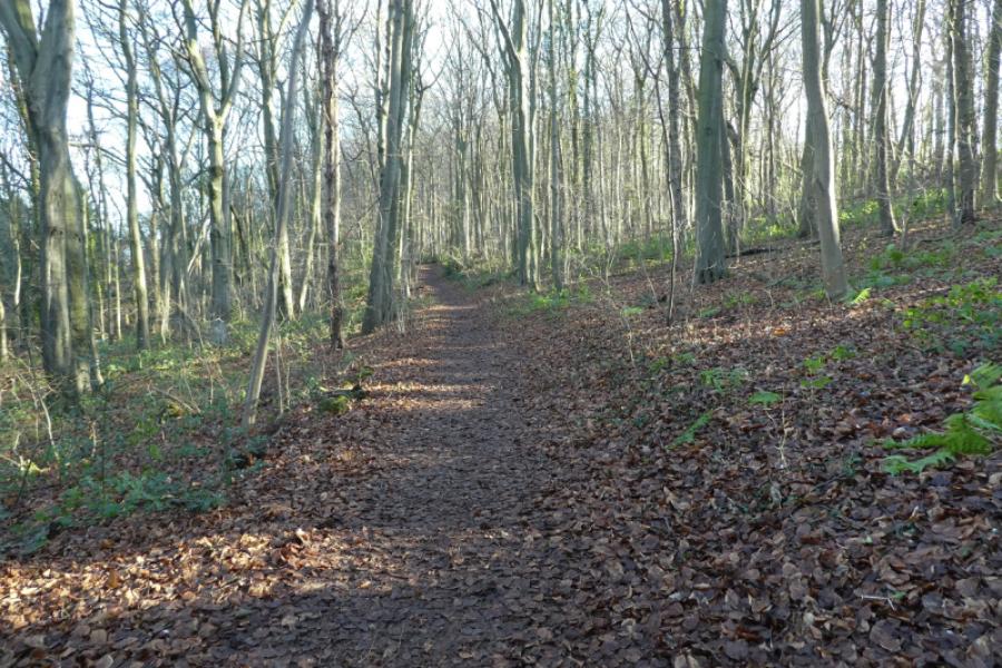
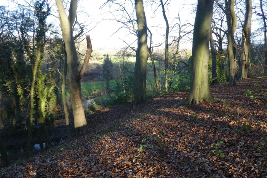
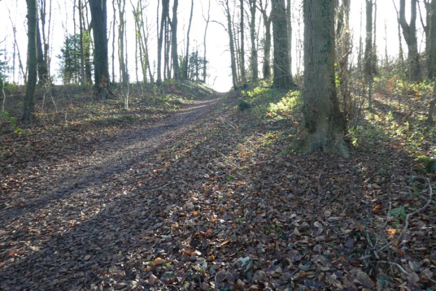
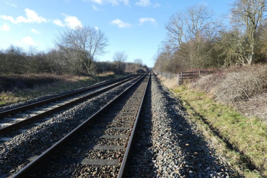
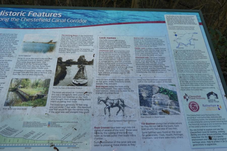
No one would claim that any part of Nottinghamshire is mountainous but walks on its gentle rolling hills are enjoyed by many so here is one which is very gentle and has a pub at start and finish and, in the summer, an ice cream shop on the way back. The route is difficult to follow from the map but easy from the described route. There are many locks on the canal sections of this walk and the Sheffield to Worksop railway line is crossed twice where you have to actually walk over the rails, legally I might add! Some pleasant woodland is passed through and there are even some crags.
Route
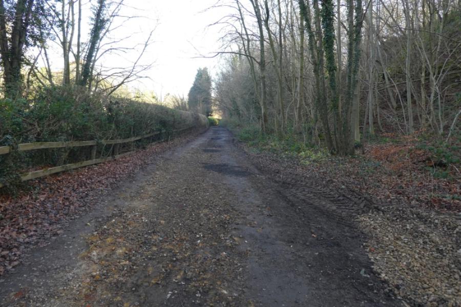
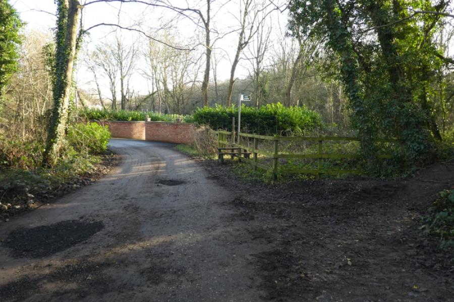
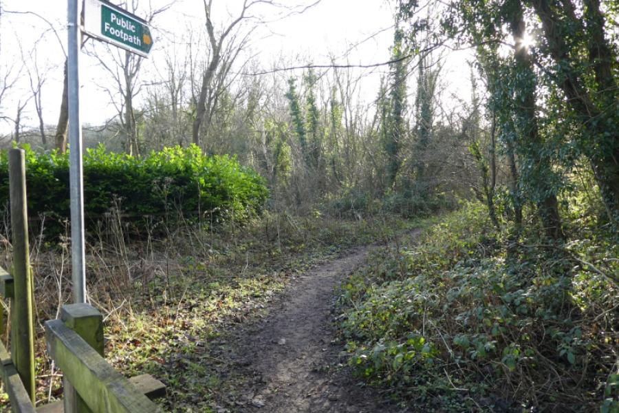
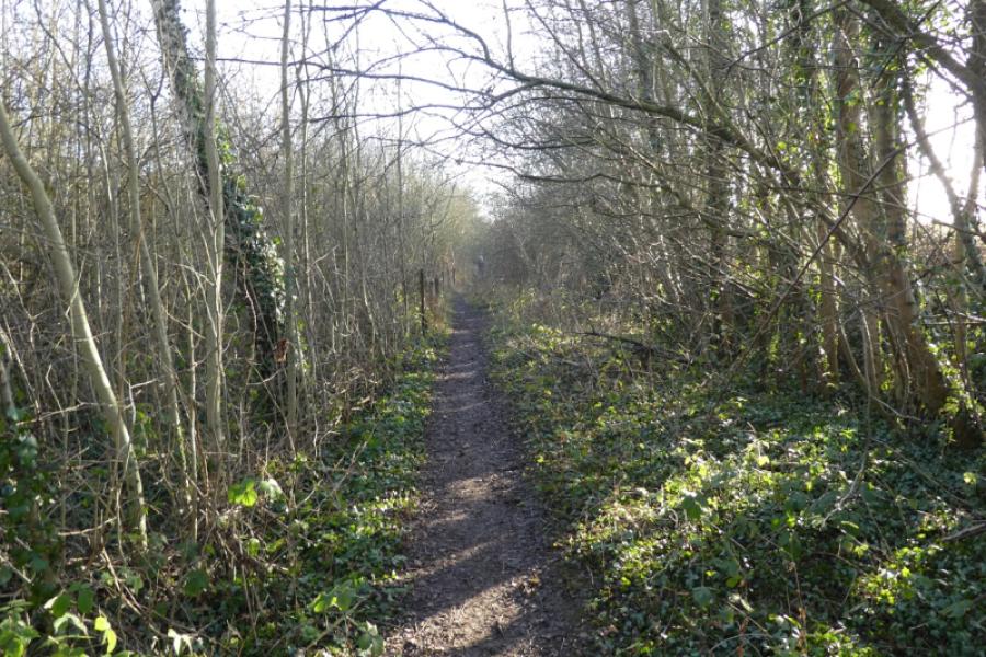
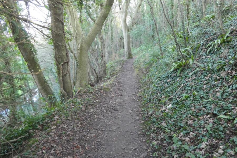
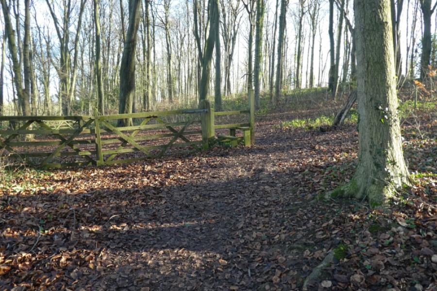
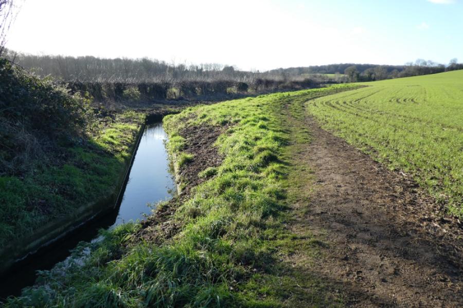
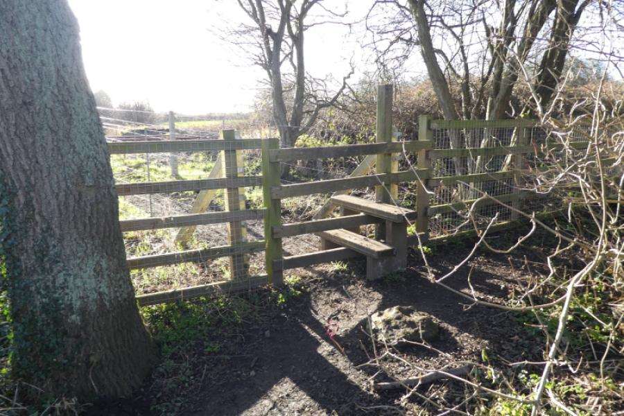
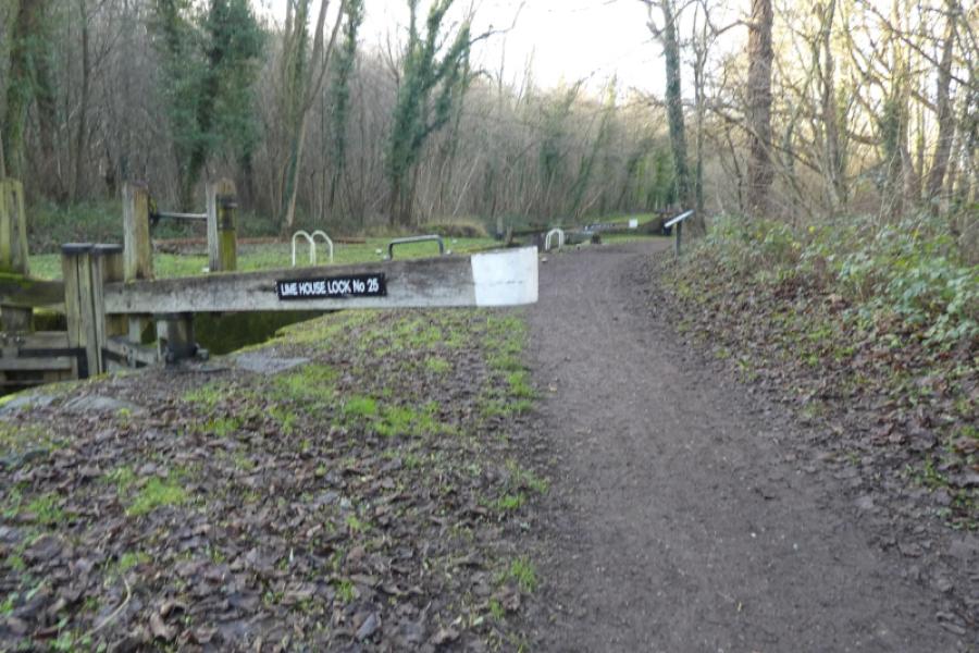
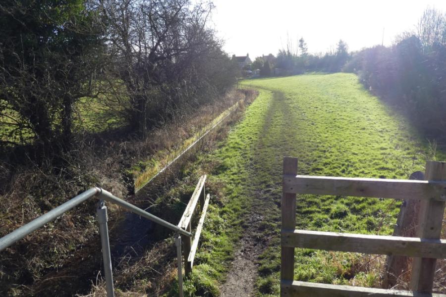
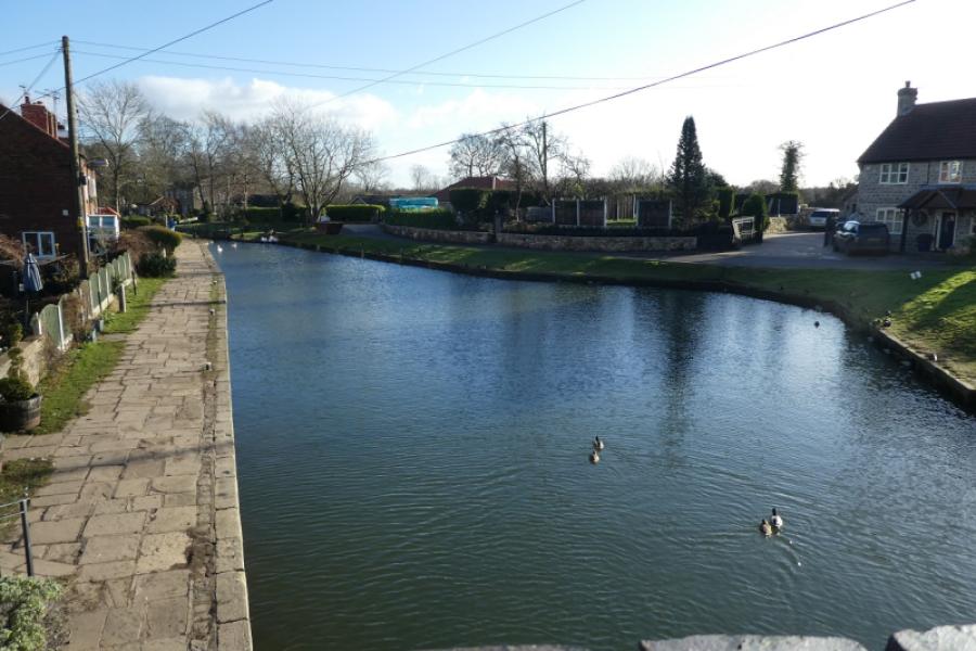
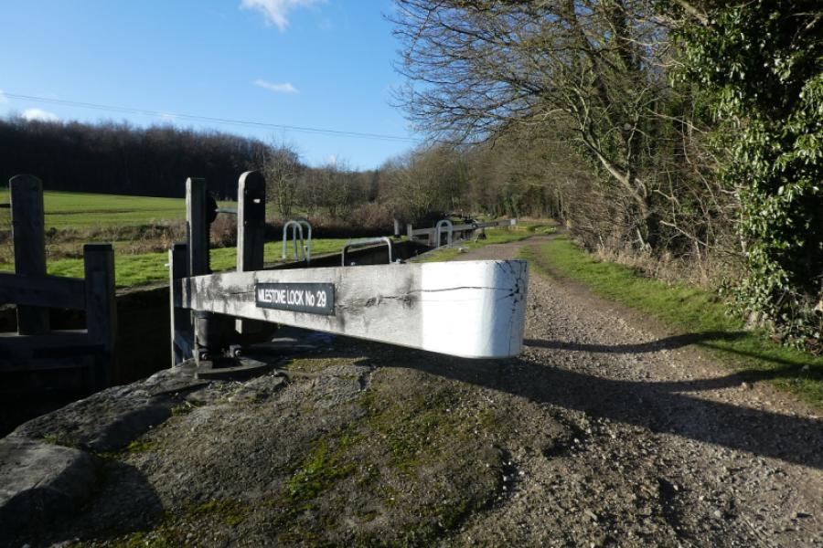
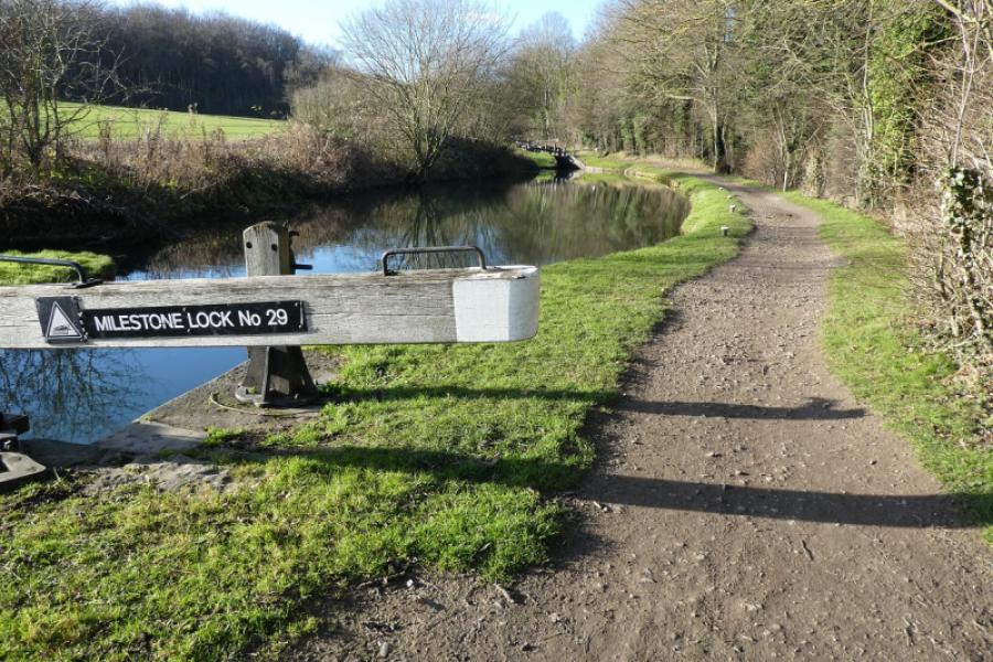
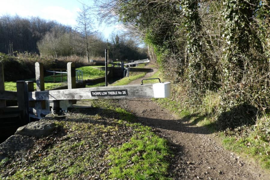
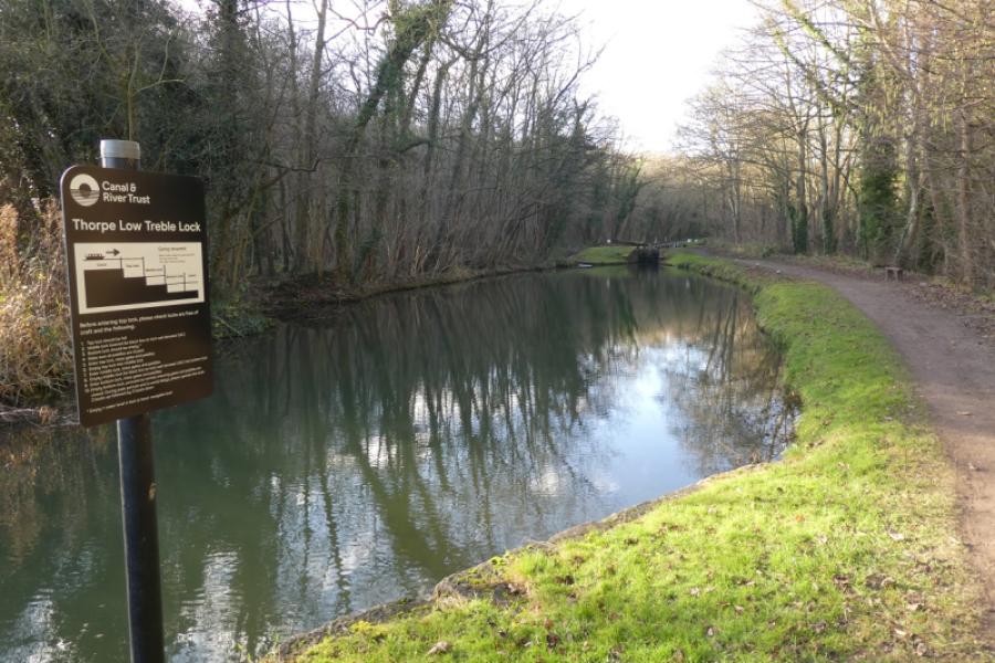
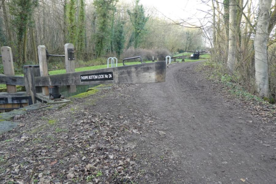
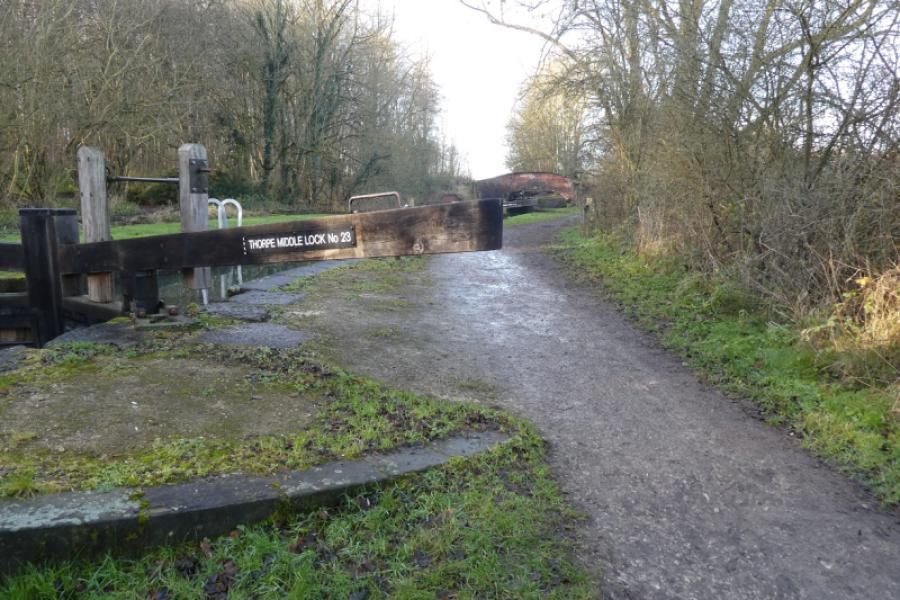
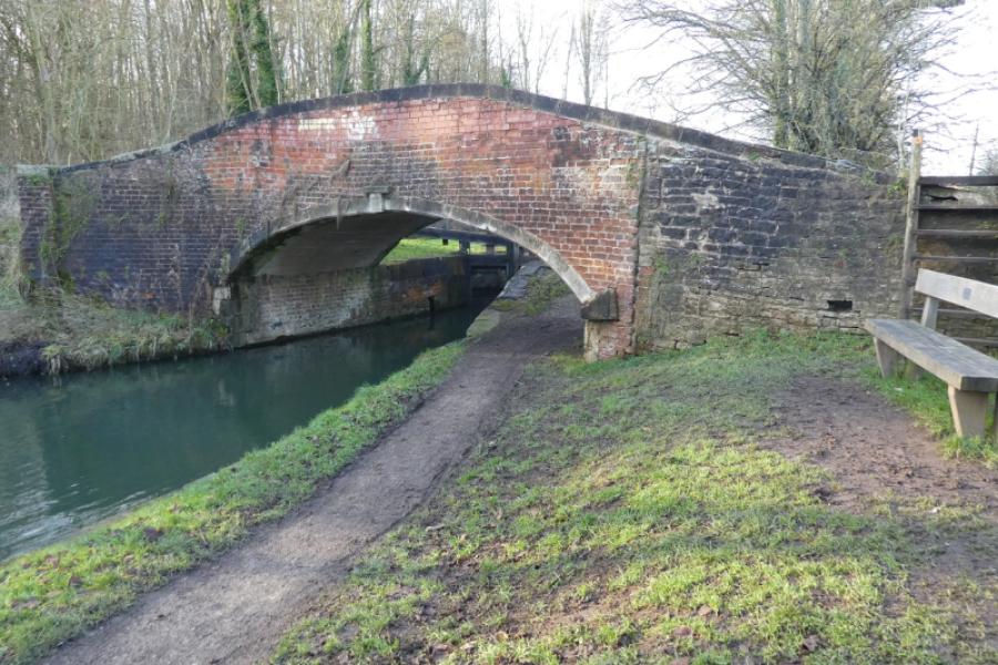
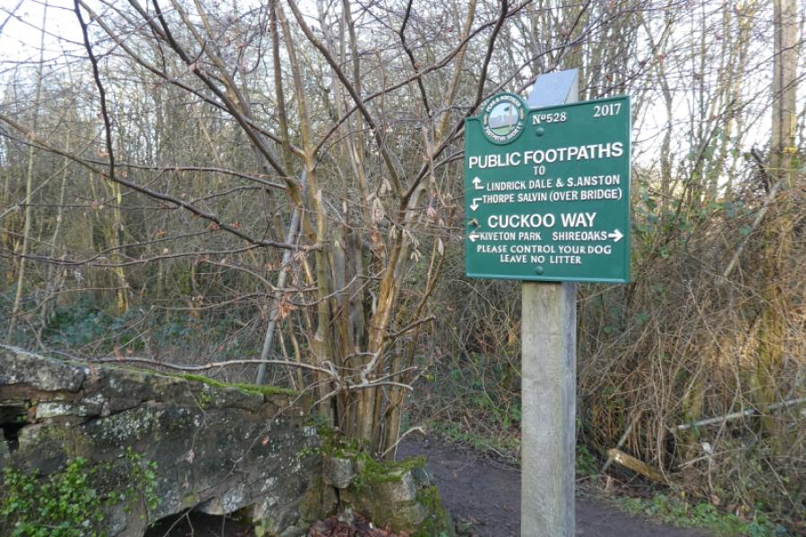
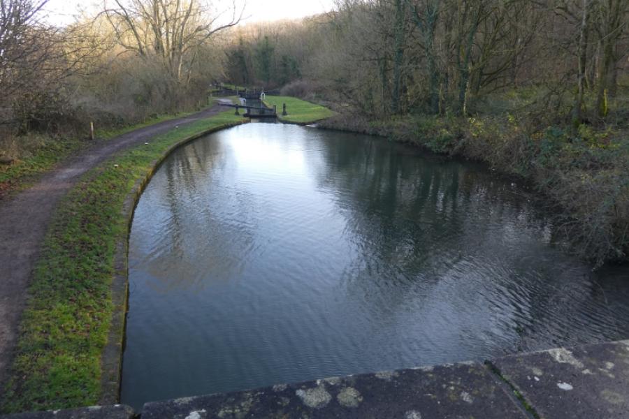
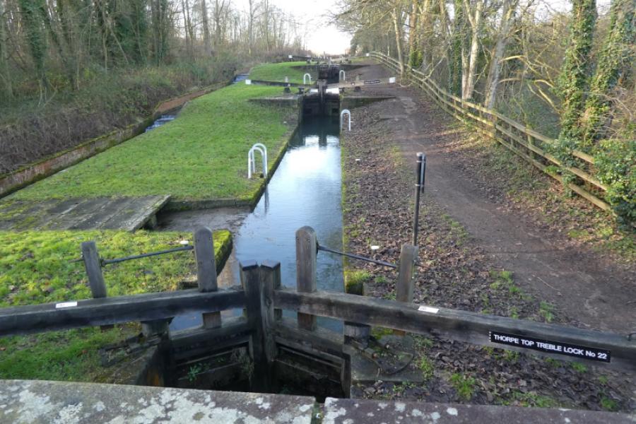
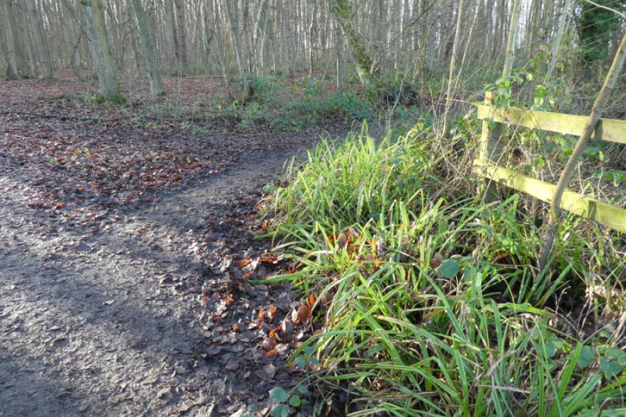
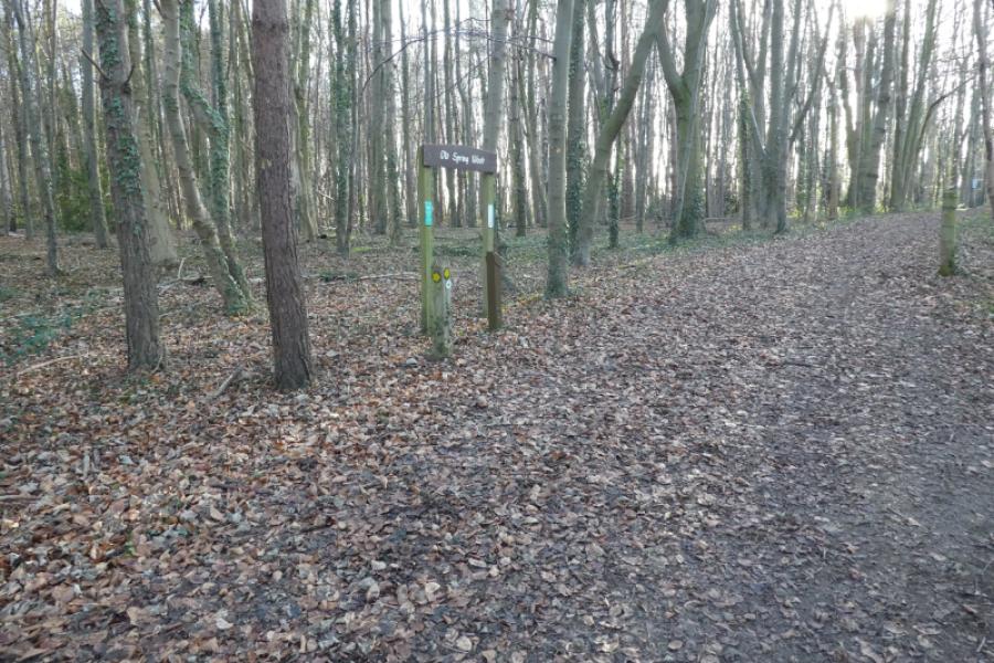
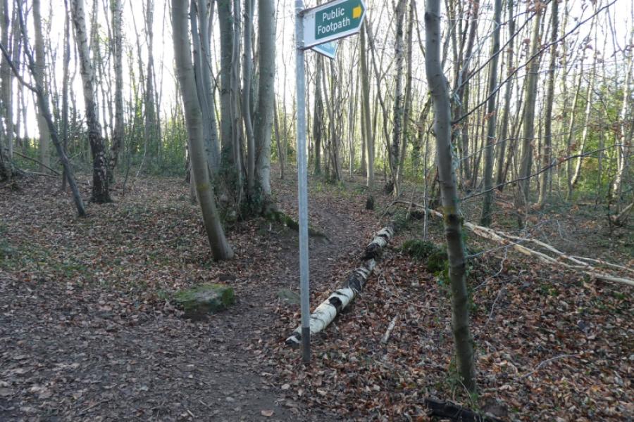
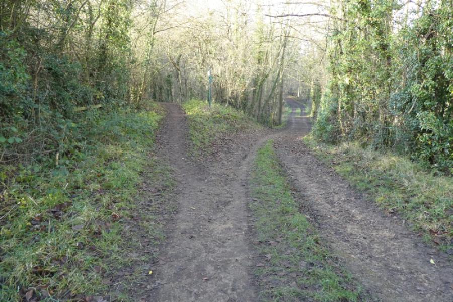
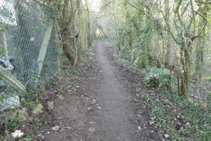
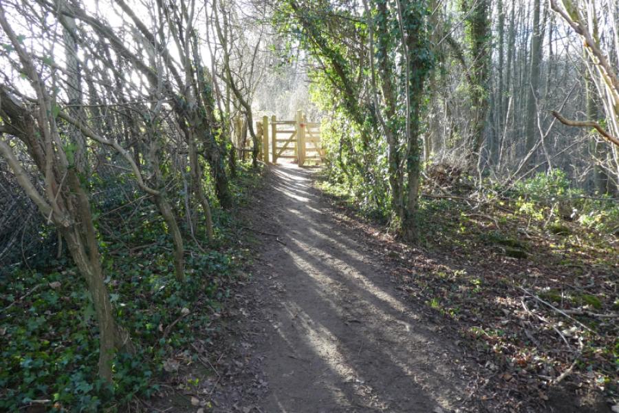
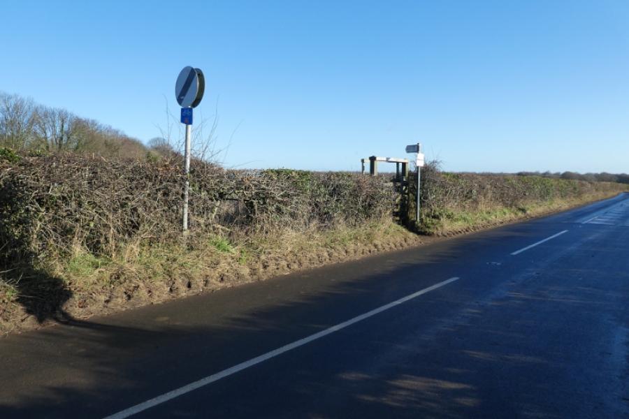
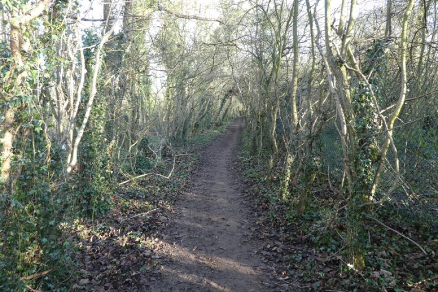
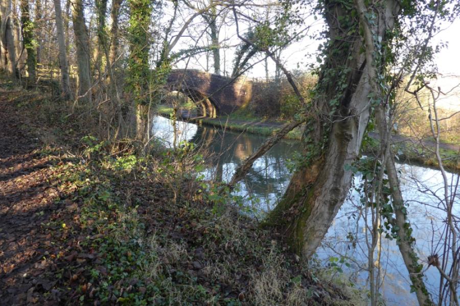
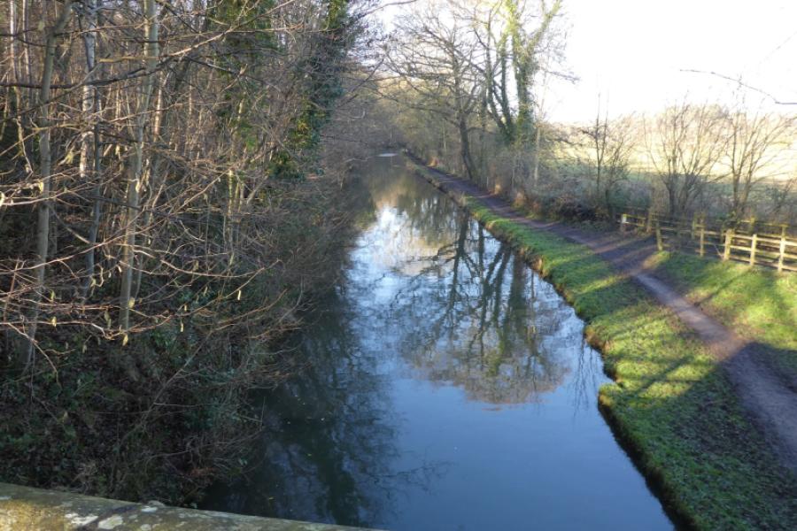
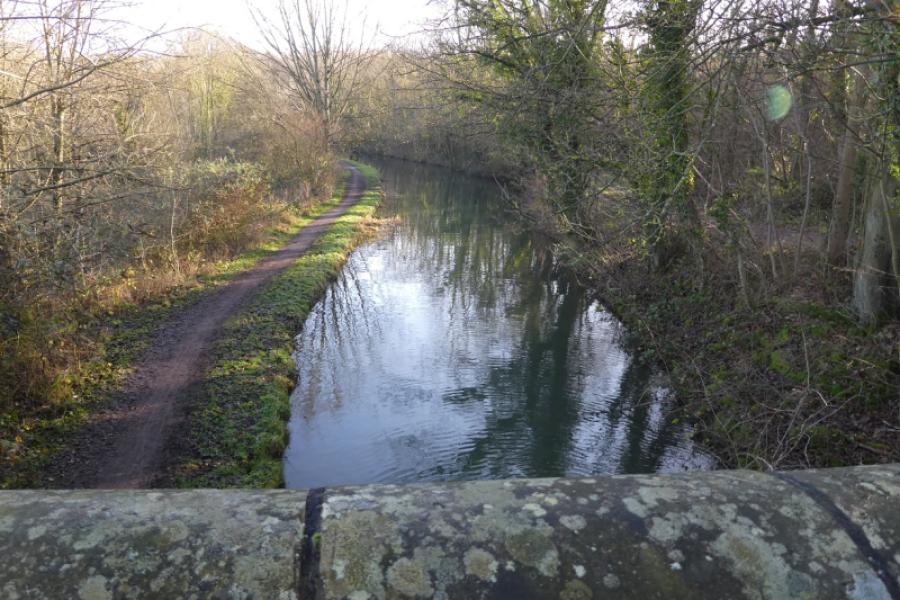
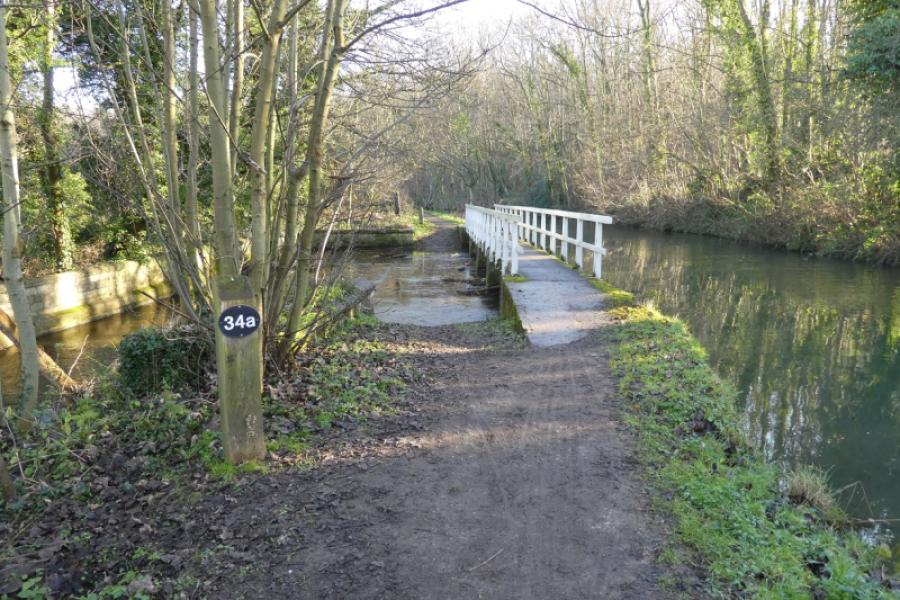
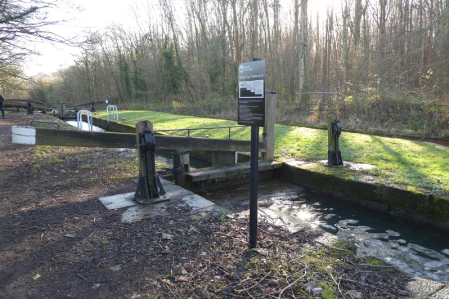
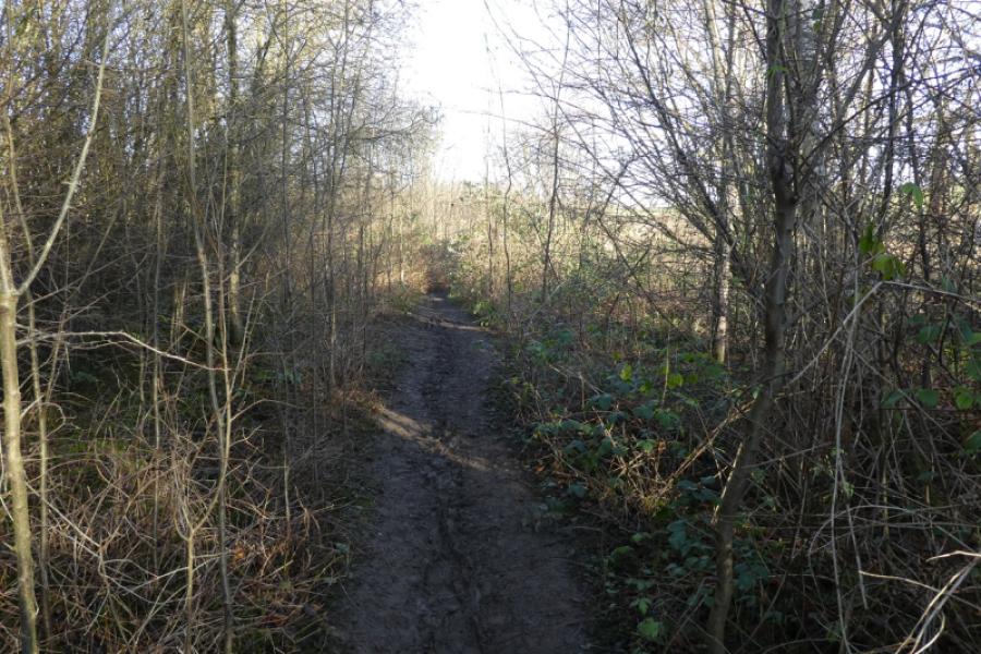
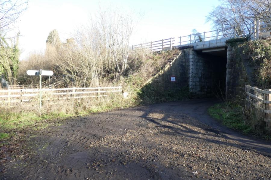
(1) From the Parish Oven pub, walk east onto Worksop road and follow it to the edge of the village where a signed path goes off left. Follow this path which soon follows the edge of a wood. Reach a gate which takes you deeper into the wood and follow the path to reach a track. Go left, alongside the Chesterfield Canal, to soon reach a bridge. Cross over and retrace along the tow path on the other side of the bridge heading roughly east. Cross a low footbridge over a “tributary” to reach Thorpe Top Treble Lock. Soon after is a bridge where the canal is left and one heads roughly north signed for Lindrick Dale. This path can be muddy through the wood after which it crosses the railway and then a field just after to reach a track. Turn left onto the track and follow it past a white house then keeping right as it curves around before going under a different railway.
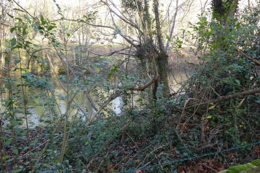
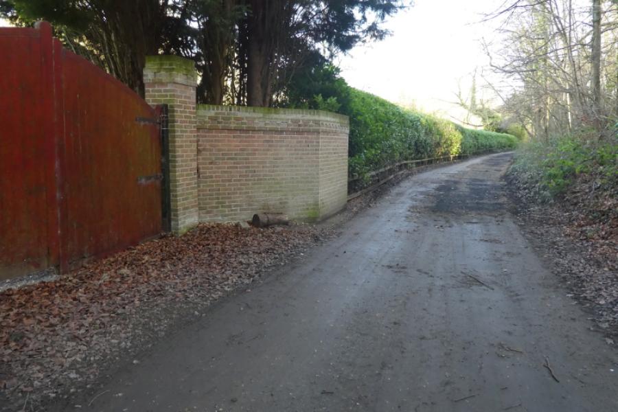
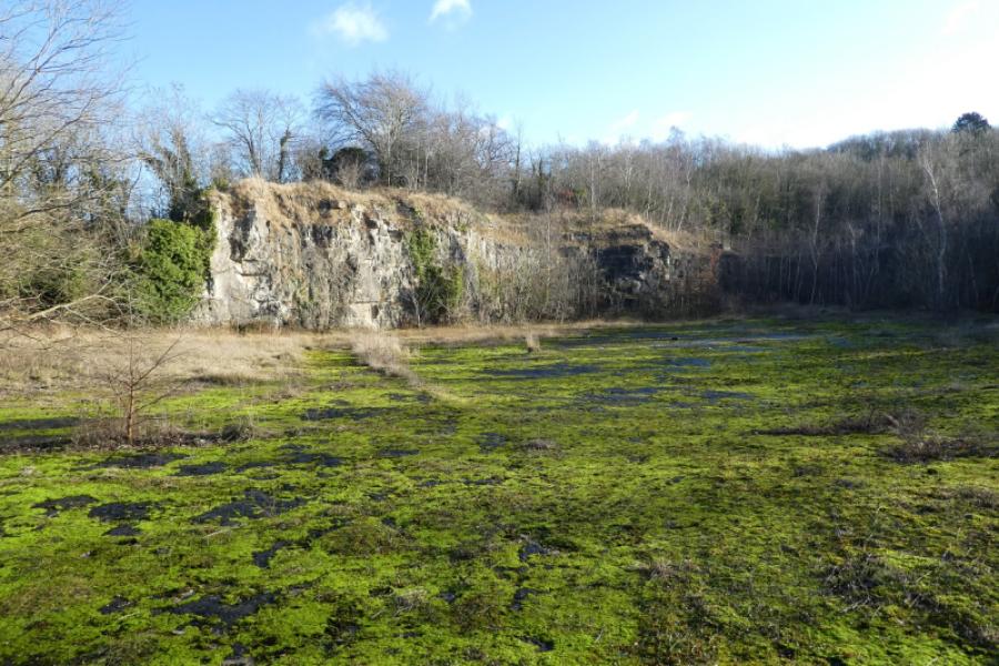
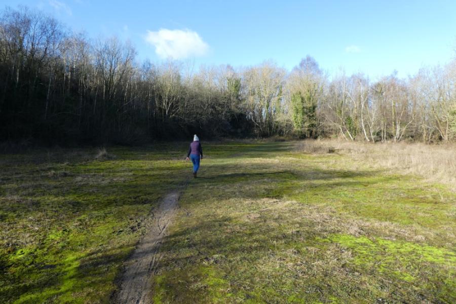
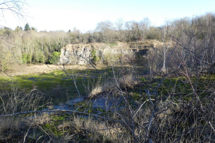
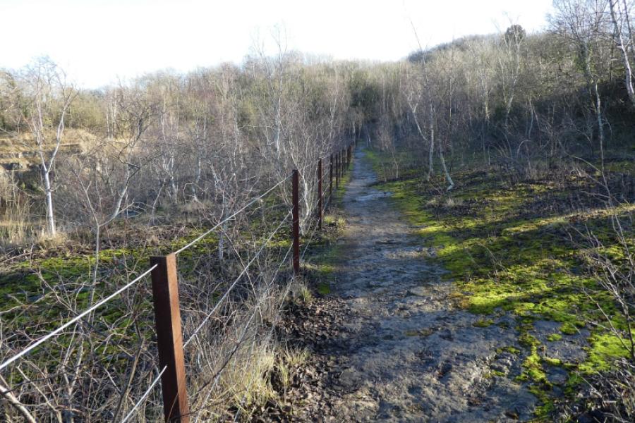
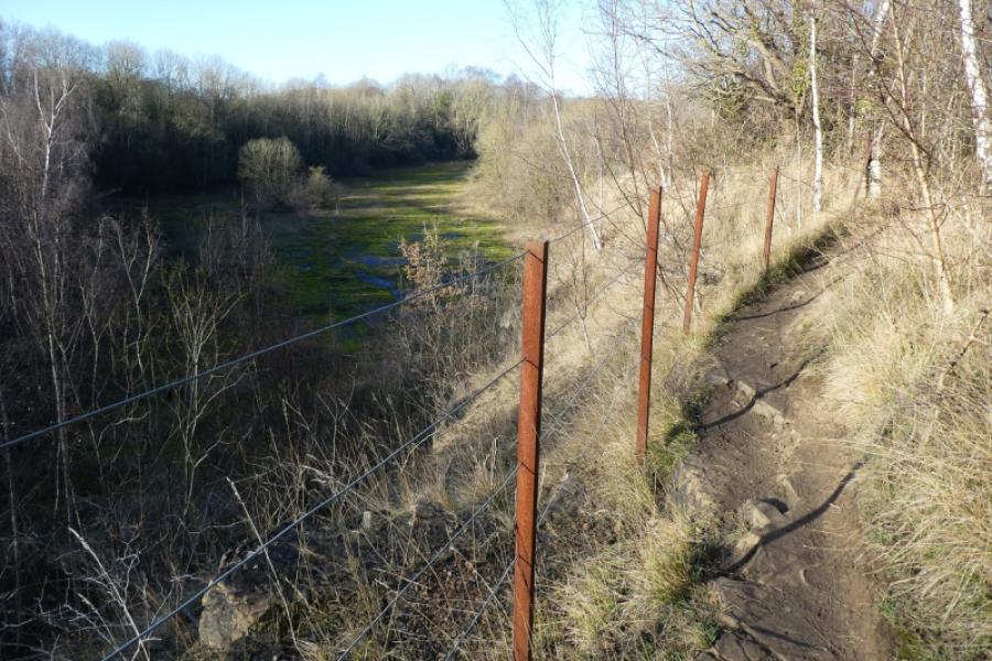
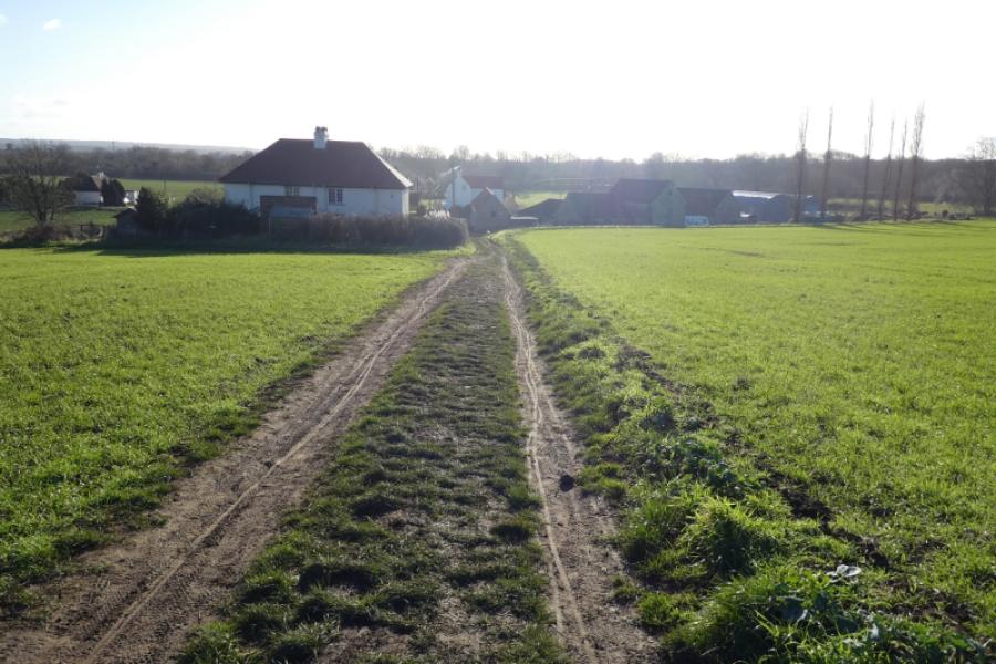
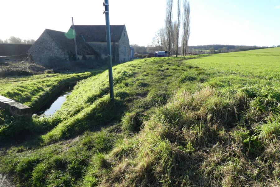
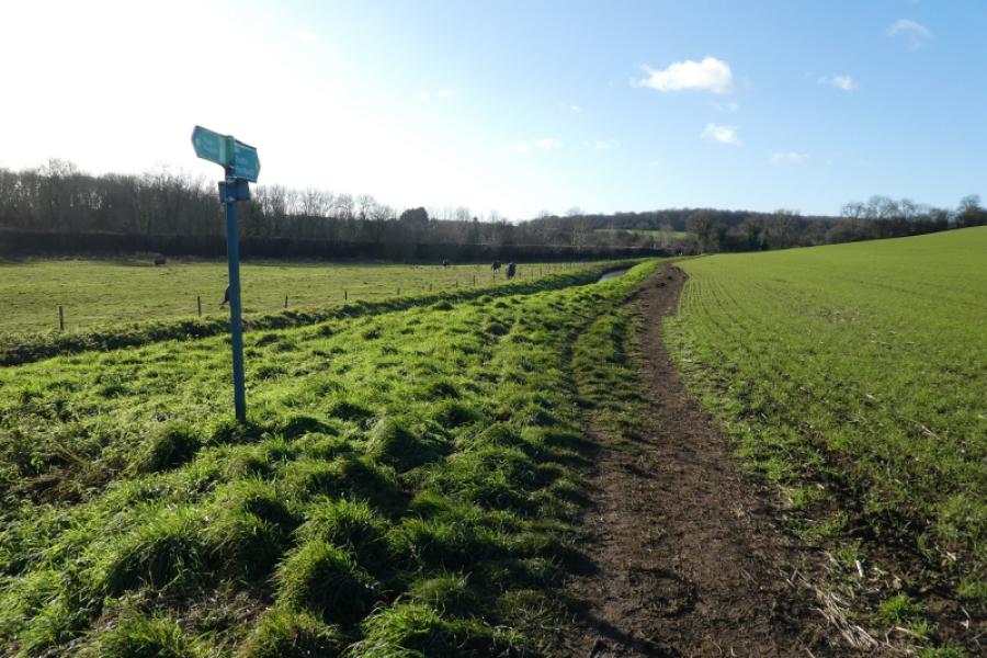
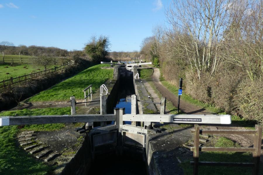
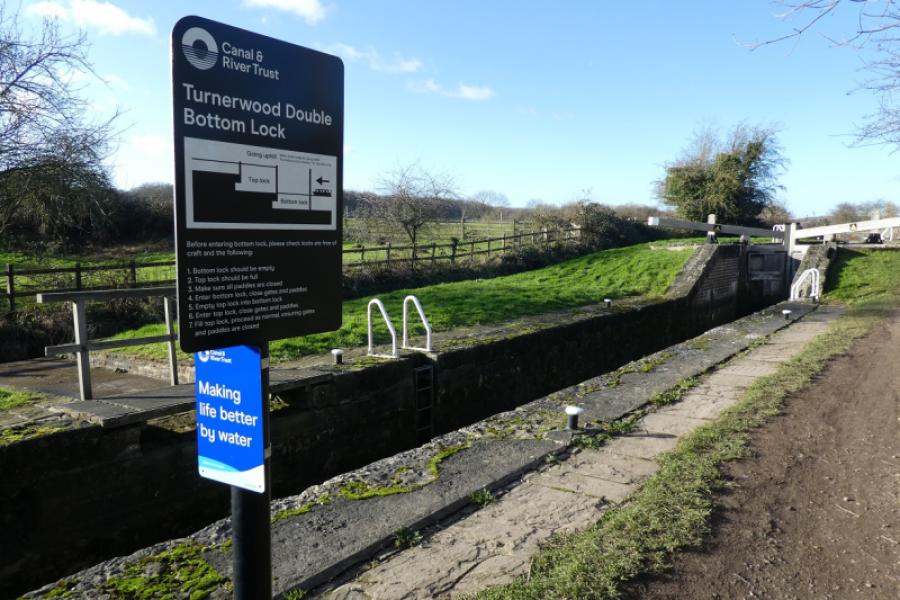
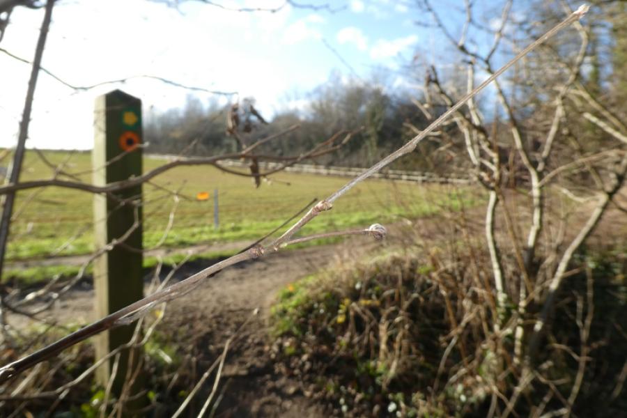
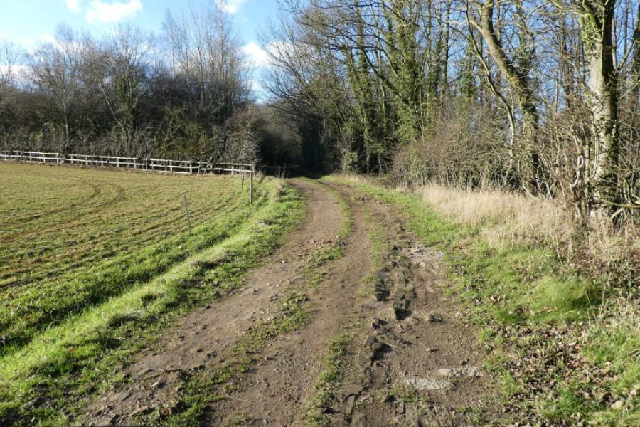
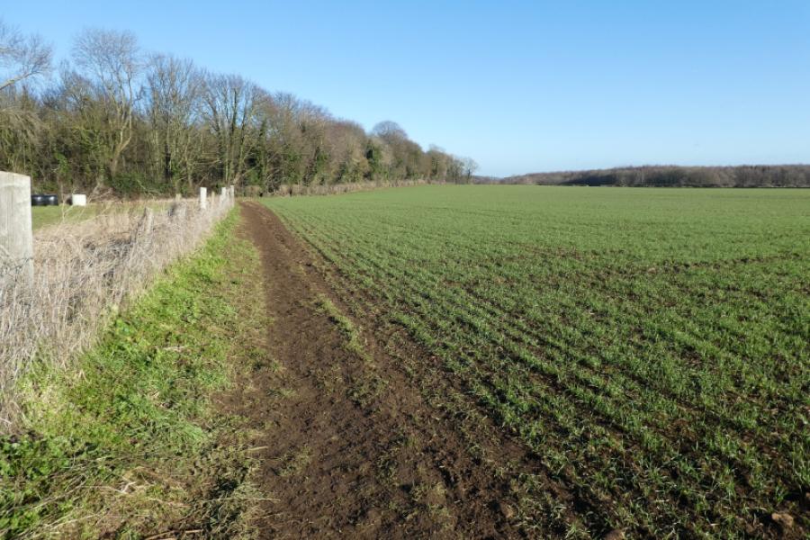
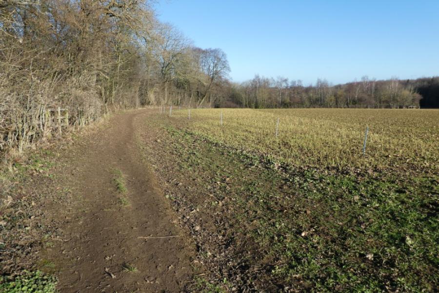
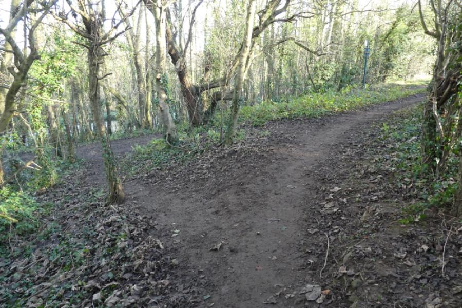
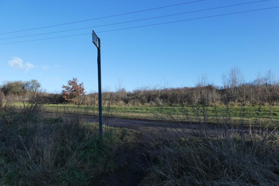
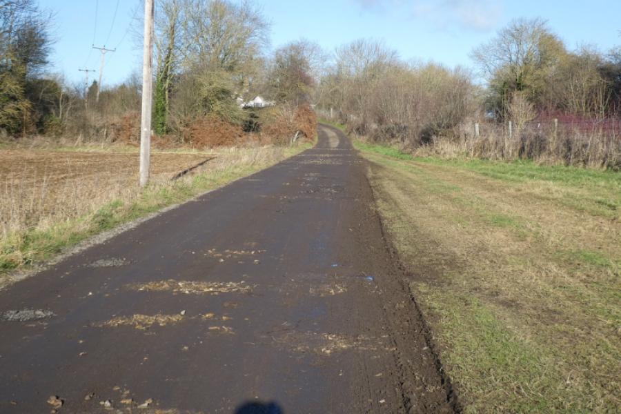
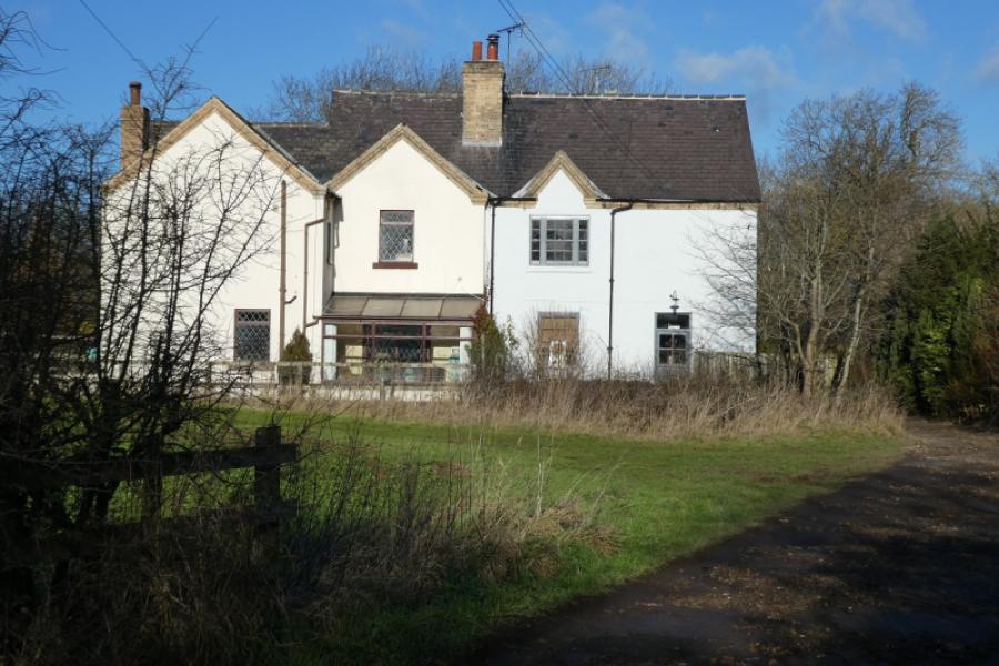
(2) Stay with the track ignoring any paths going off left. Behind the hedge on the left is a small lake and there is a crag up to the right. Pass the entrance to a large house and continue almost to where the track becomes a tarmac road. Just before the start of the tarmac road, take the signed footpath off to the right and follow this to a large flat clearing with crags to the left and ahead. Here is where it is most difficult to follow the map but the route is easy. Follow the clearing around to the right where a path will become obvious which leads up onto the ridge which was in front of you when you entered the clearing. Follow the path along the ridge, roughly east, with a fence on your left to stop people falling over the crags. There is no fence once the crags have been left behind. You are now above Lindrick Dale and views across to posh houses and golf course will soon be obvious with the River Ryton running down the dale. The path passes through a wood to reach a wide track coming up from the dale. Turn right onto the track – there is no sign here – and follow the track gently uphill and then down and across a field towards a cluster of buildings known as Brancliffe Grange. About level with the first house, on the left, a signed path goes off to the right and follows the edge of a field. Follow this path as it slowly converges with the railway before crossing it then continuing to reach some houses where the path almost disappears so stay left and reach a little road which quickly leads to Turnerwood Bridge on the Chesterfield Canal. There is an ice cream shop here in the summer.
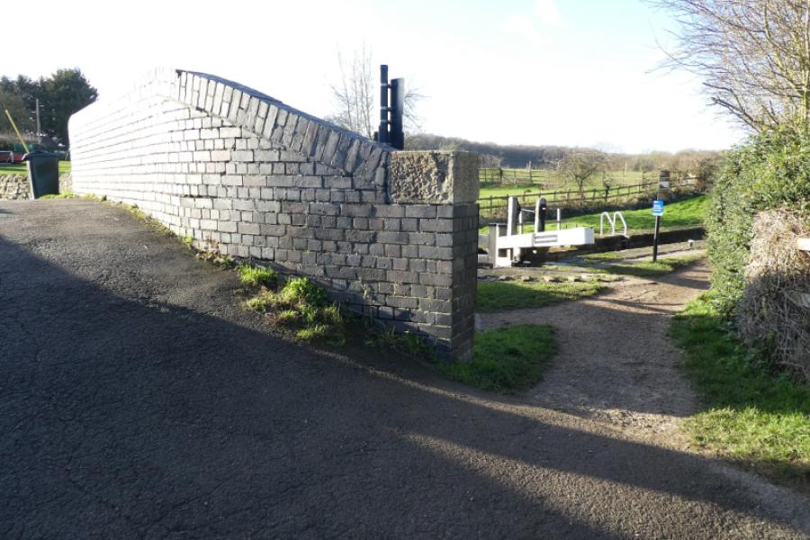
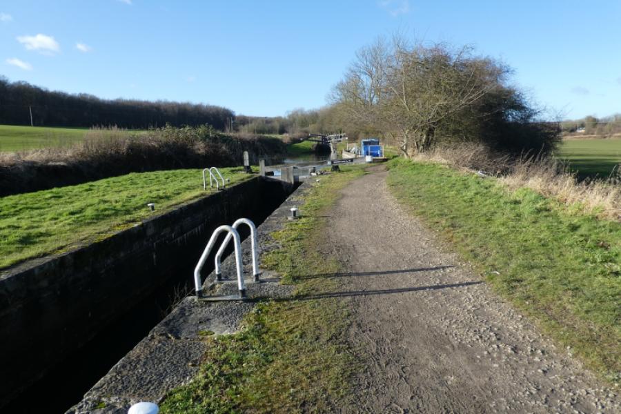
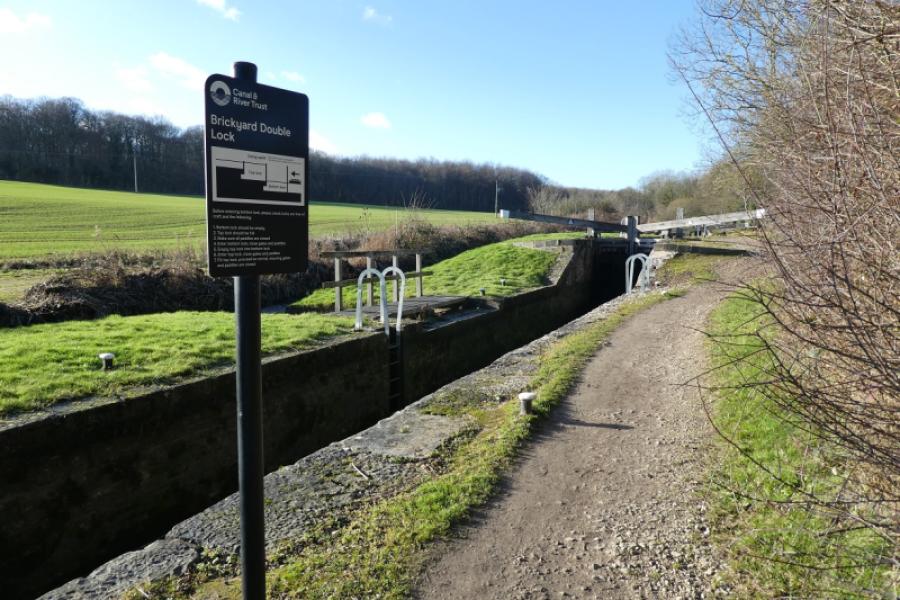
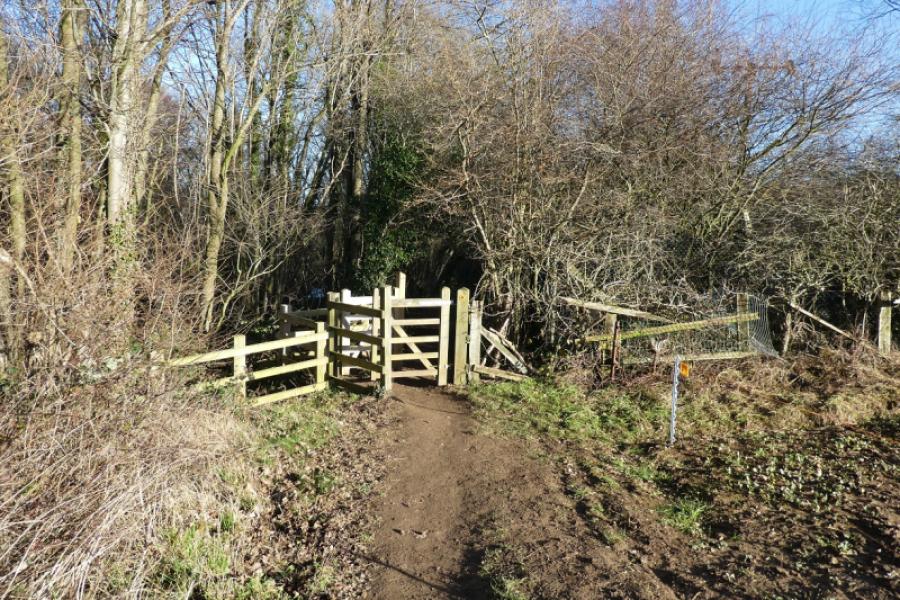
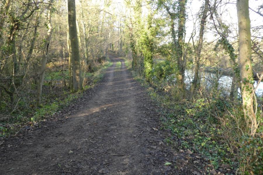
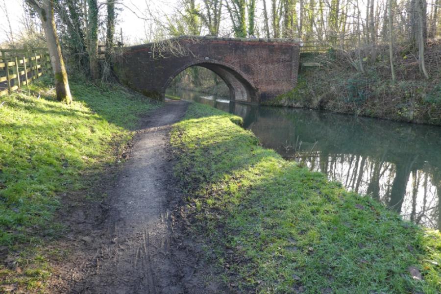
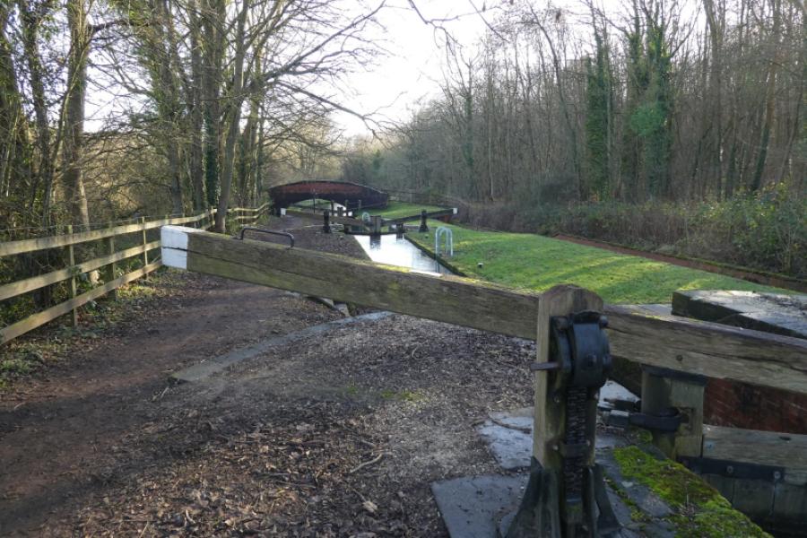
(3) Do not cross the bridge but follow the tow path going right, west. This leads past many locks before reaching the bridge reached earlier near Thorpe Treble Lock where you left the canal for Lindrick Dale. Cross over the bridge then go immediately right and follow a path through a wood, not far from the canal, which leads to a track on the edge of a field. Stay with the track until you can fork left onto the path you used earlier which leads through a wood then follows the edge of the wood back to the road just outside Thorpe Salvin. Turn right for the village.
Notes
(a) This walk took place on 19th January, 2022.
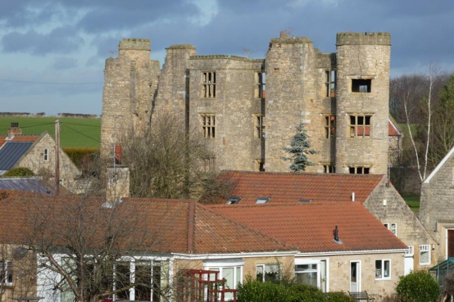
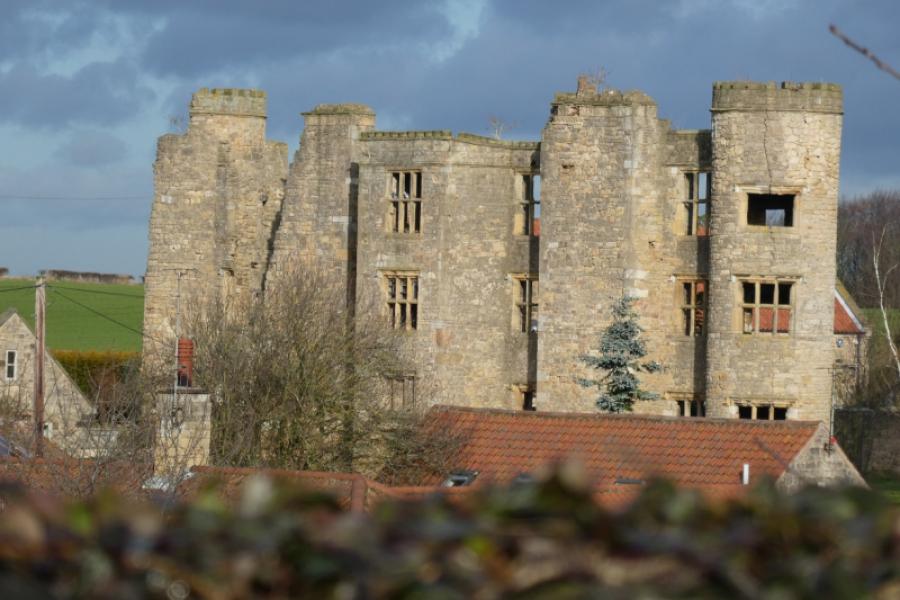
Photos - Hover over photo for caption. Click on to enlarge. Click on again to reduce.


.JPG)