Get Lost Mountaineering
You are here: England » Yorkshire Dales » Howgills, Baugh Fell & Wild Boar Fell
White Fell, The Calf, Bush Howe, Fell Head & Brown Moor from Howgill Church
White Fell, The Calf, Bush Howe, Fell Head & Brown Moor
from Howgill Church
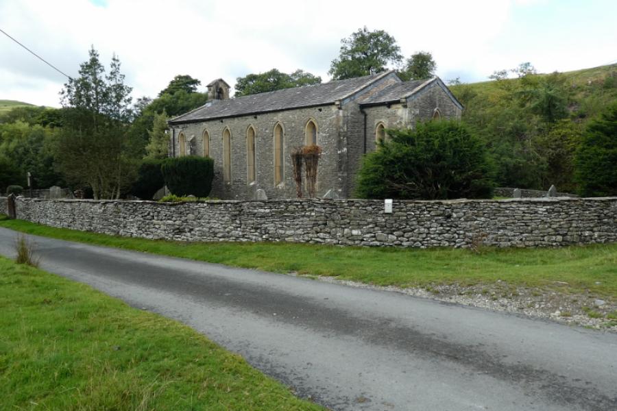
Start/Finish
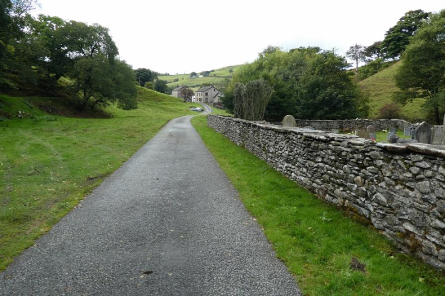
Verge parking near Howgill Church in the hamlet of Howgill. The postcode for the church is LA10 5JD. The parking is very limited so best to visit in the week rather than at weekends. This is not the ideal starting point for this walk but the road which bypasses the Howgill Hamlet is very narrow and there are no suitable parking places nearer than the hamlet. This minor road leaves the A685 Tebay to Kendal road after passing the Borrowdale valley, crosses Salterwath Bridge then Carlingill Bridge before continuing to the turning into Howgill hamlet. It is about 4.5 miles from the A685 to Howgill hamlet and it is not a pleasant 4.5 miles. The road is very narrow in places with few passing places. If you meet another car, one of you may have to reverse some distance before you can pass each other. Coming from Sedbergh to the south is slightly shorter especially if one uses Sykes Lane which leaves the A684 about a mile west of the edge of Sedbergh. In winter, this minor road may not be gritted so take that into consideration. Avoid driving through Howgill hamlet as the exit road on its south side is narrow, steep, twisty and worn plus there is a large gate to open!
Distance/Time
13 km About 5 hours
Peaks
The Calf, 676 m, SD 667 970.
Busk Howe, 622 m, SD 658 981.
Fell Head, 642 m, SD 649 982.
Brown Moor, 413 m, 644 968.
OL19 Howgill Fells & Upper Eden Valley
Introduction
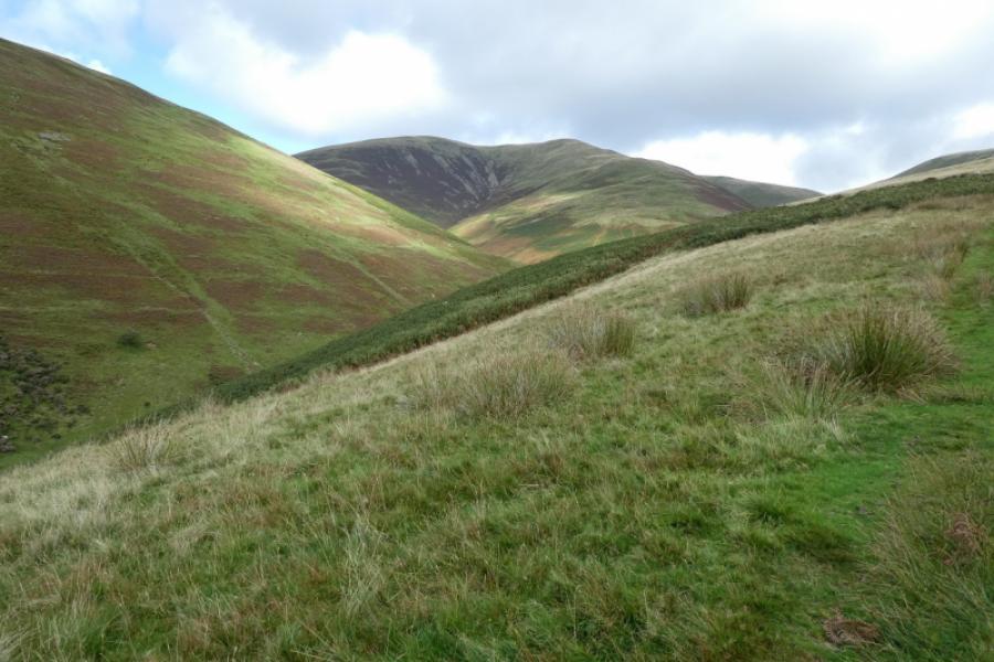
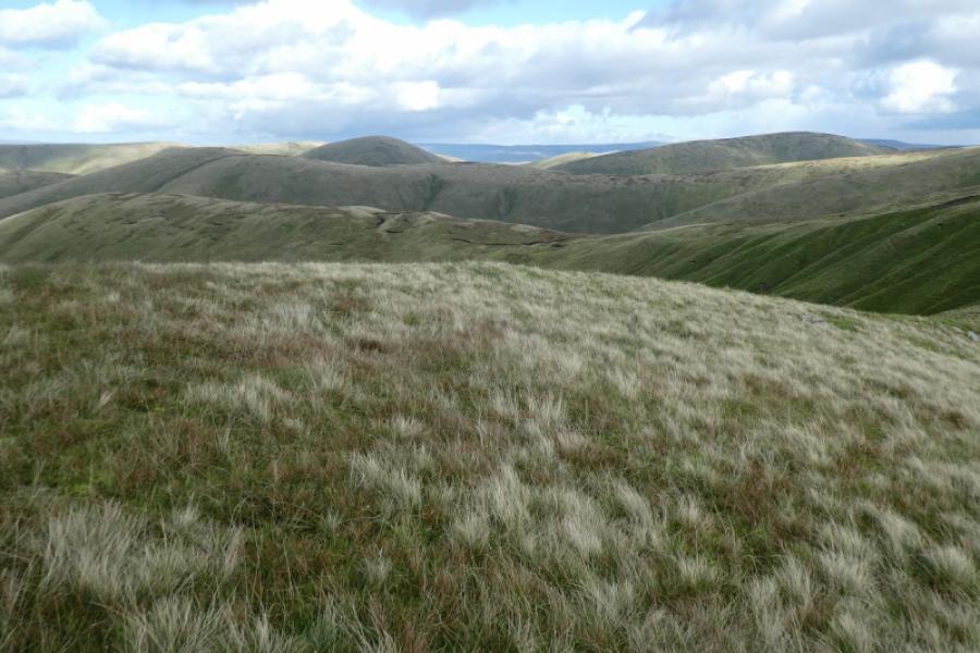
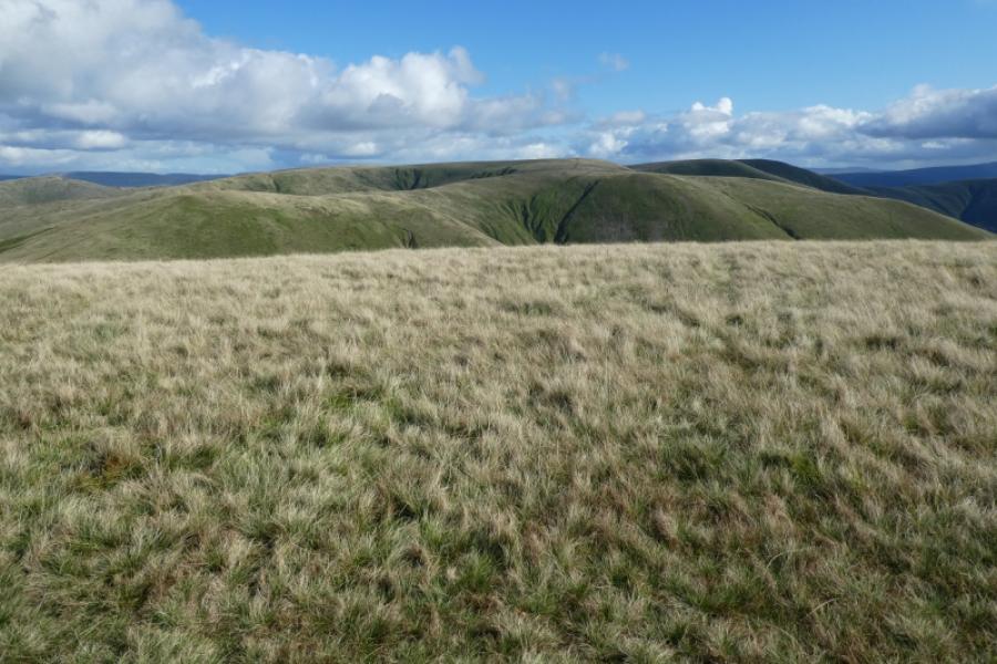
This walk lies entirely within the Howgill Fells which are bounded by the M6, A684/A683 and A685. It is a compact group known for its ridges and steep valleys. They are much quieter than the Lakeland Fells lying across the M6. The highest point is The Calf and this has good paths leading to it. Its most well known feature is Cautley Spout which is a series of impressive waterfalls but that is not part of this route although a route has been uploaded which includes it. The Calf is only just the highest top at 676 m. To its immediate south are Bram Rigg Top, 672 m, and Calders, 674 m. All three are seen on the approach so be careful not to confuse them. Fell Head is an outlier of The Calf and is a good viewpoint for it. On a clear day, Ingleborough can be seen to the south and the Lake District well to the west. Just across the M6 which is well seen and heard most of the time, is the Whinfell Ridge about which Wainwright wrote so affectionately. The ridge walk is in the Lake District section (between A6 and M6).
Route
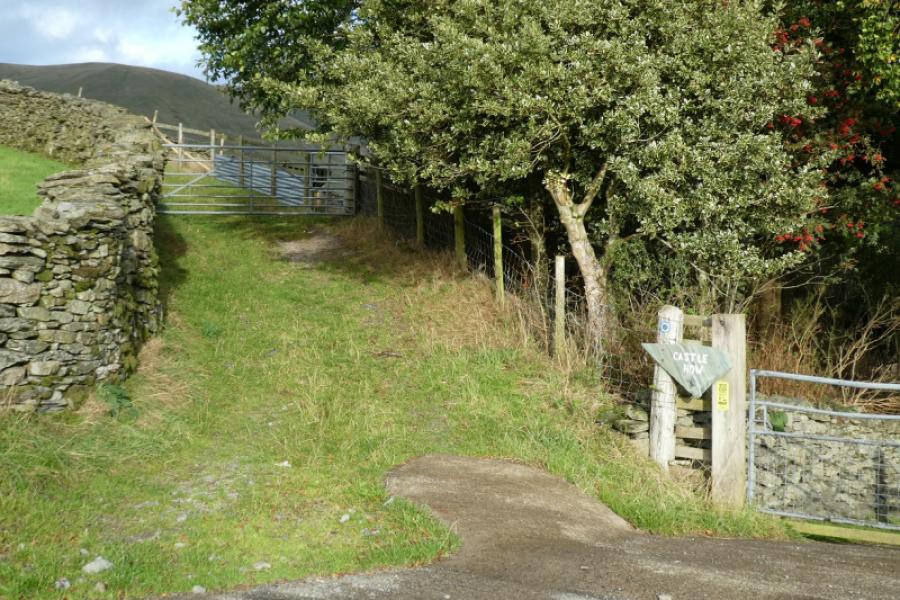
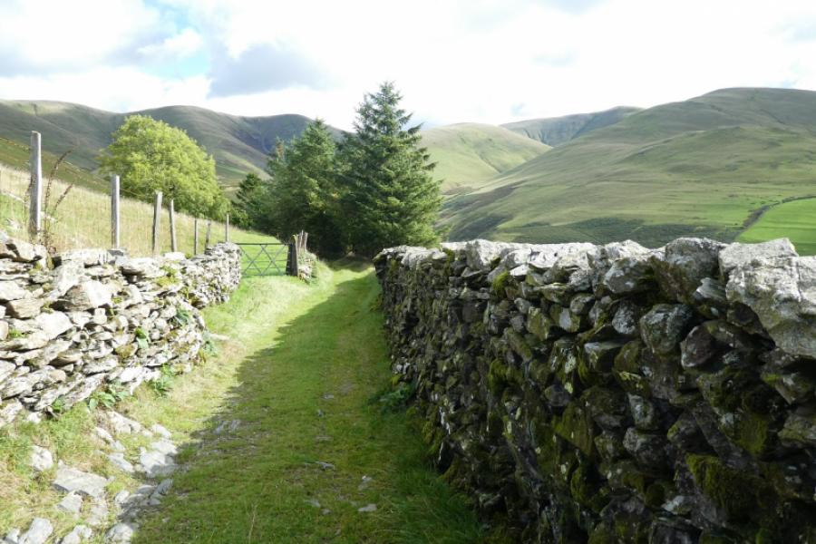
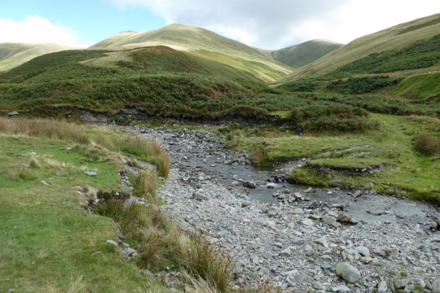
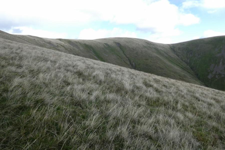
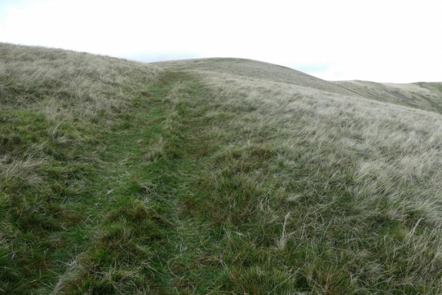
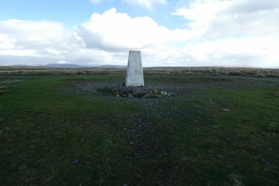
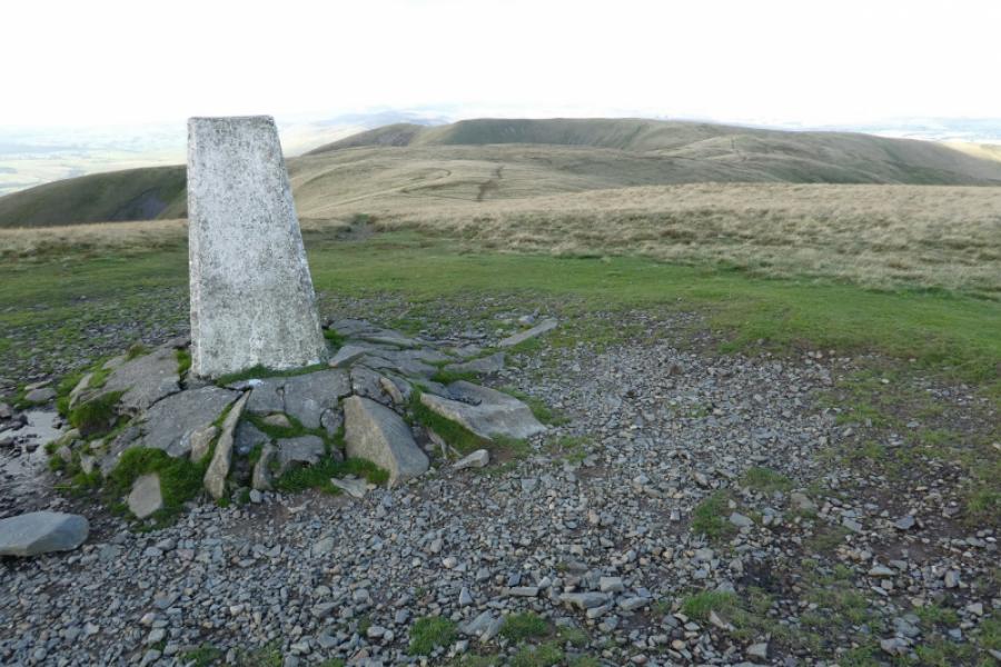
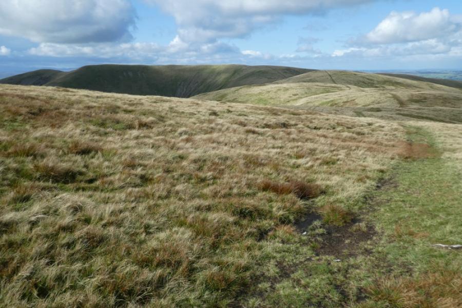
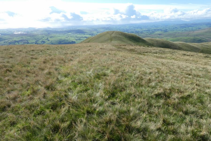
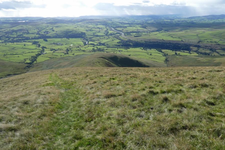
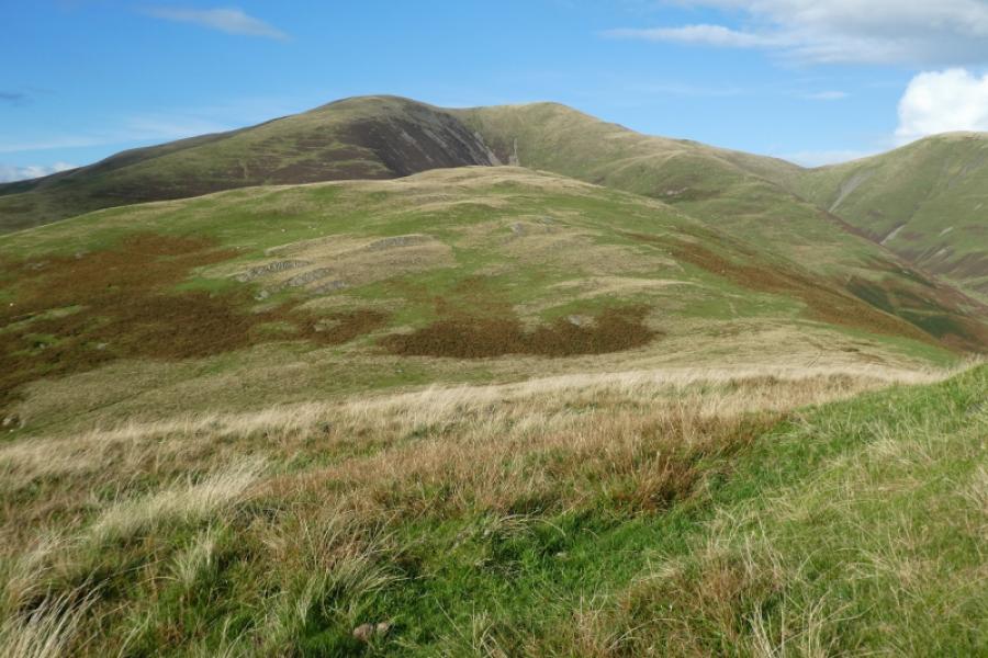
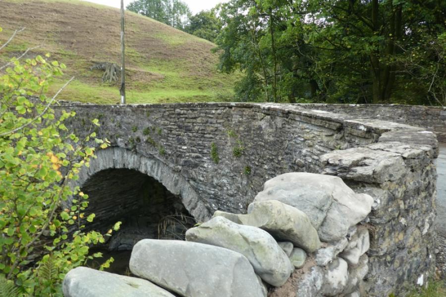
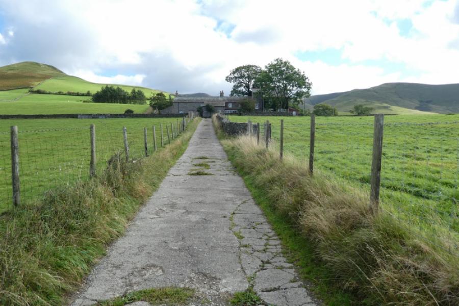
(1) From Howgill Church, join the minor road at the bridge and follow it north, uphill at first. Pass a house called Gateside. There is a footpath sign opposite for Castleys but the path isn't easy to follow so best to stay on the road until Four Lane Ends is reached, about 1 km from the church, where a road goes left with a width warning and a track goes right, Take the track and follow it to Castleys (not named!) but it's an obvious row of houses. Continue on the track to reach Castle How where the track goes through a gate and becomes a grassy bridleway (signed). Follow the bridleway to reach a gate and open country just after which are some sheep pens. In clear weather, 3 tops of similar height will be seen ahead; they are The Calf, Bram Rigg Top and Calders (from left to right). Continue on the obvious track which soon follows Chapel Beck. When the stream splits, cross over (usually no problem) and take the obvious grassy track going up the ridge of White Fell. This is easy to follow but steep in places. Higher up, the track drifts to the right of the crest and the angle starts to ease. Stay with the track as it curves round to the rights. The ground almost becomes level and a track is joined (from Busk Howe and Fell Head) which continues easily to the trig point (no cairn) which is the summit of The Calf, 676 m.
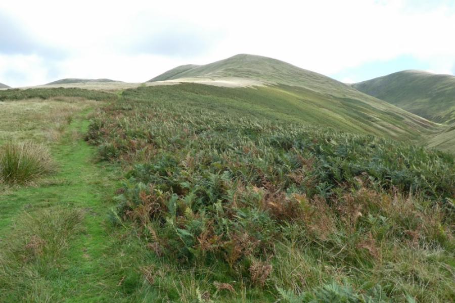
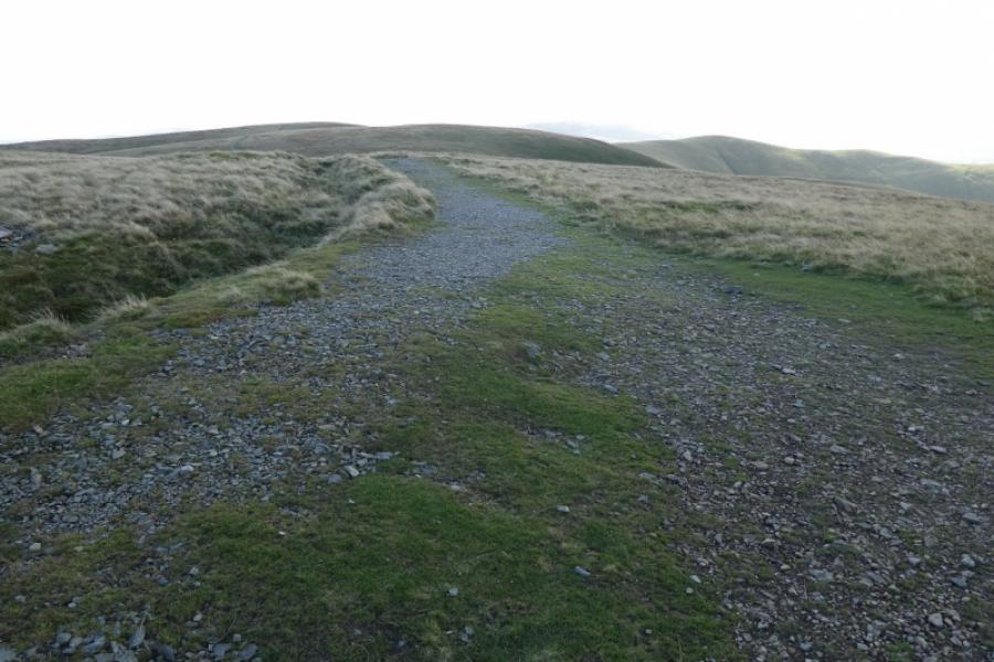
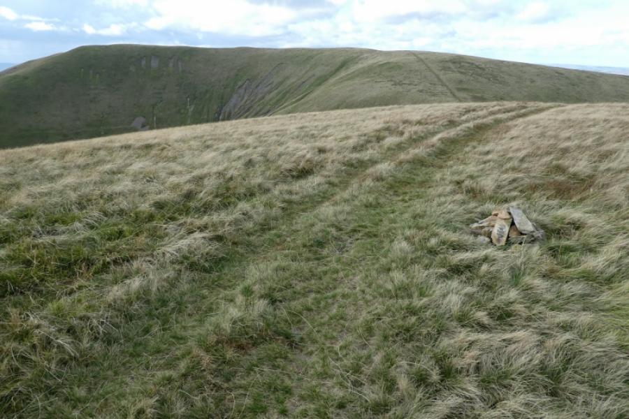
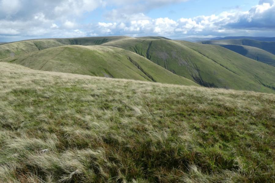
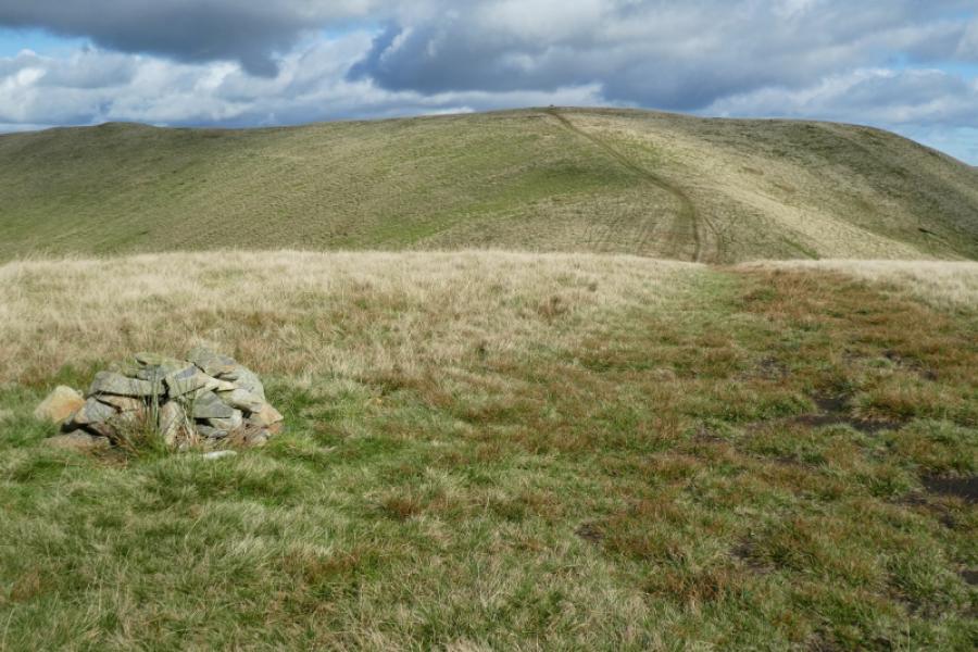
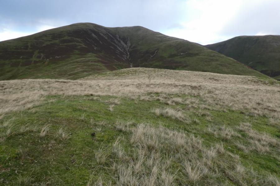
(2) Retrace to where the track was joined from White Fell but continue ahead and pass to the east of White Fell Head, the highest point on White Fell. This can be explored if one wishes but no cairn was seen from any viewpoint so if there is one, it must be very small! Continue on the obvious track/path losing then regaining a little height to reach a very small cairn on a minor top which is Busk Howe, 622 m.
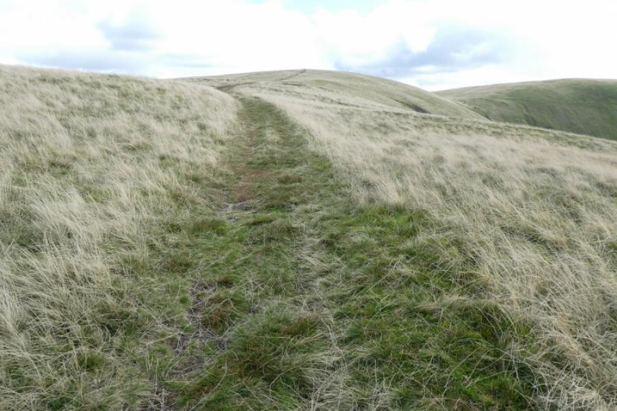
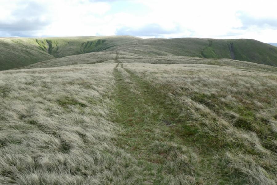
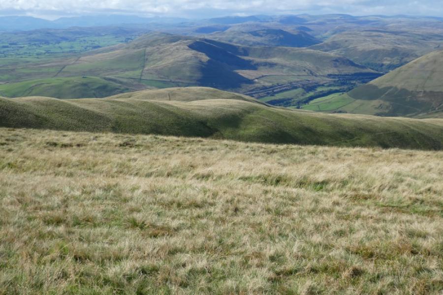
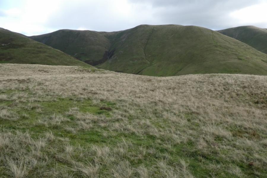
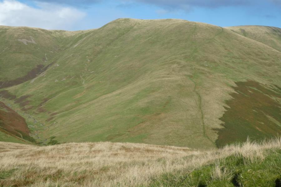
(3) Continue on the obvious path and descend into what looks like a deepish gap known as Windscarth Wyke. Ascend up the other side and reach the crest at Breaks Head where the path goes left along the crest to reach the medium cairn which is the summit of Fell Head, 642 m.
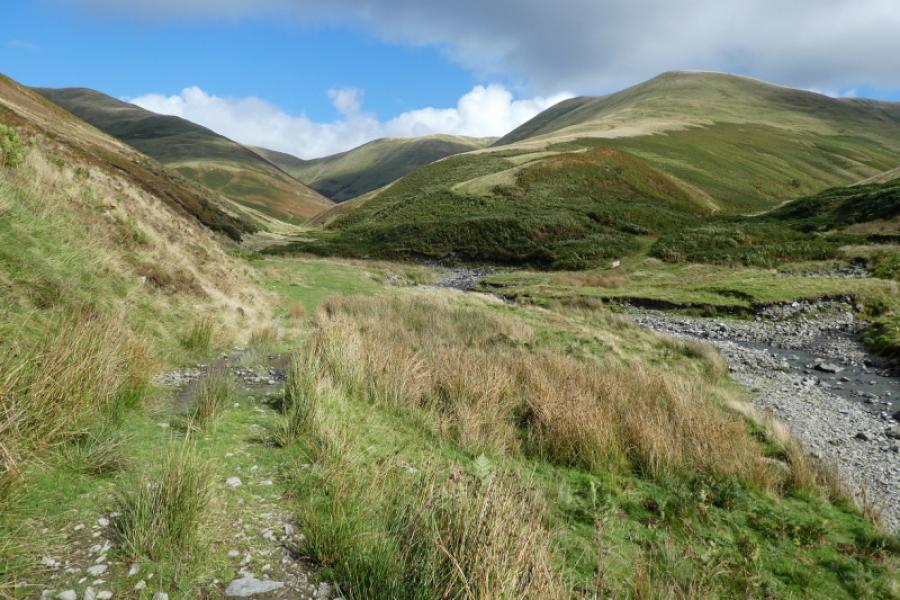
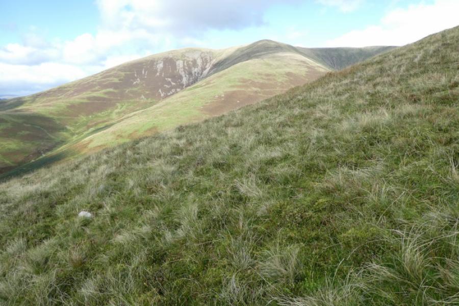
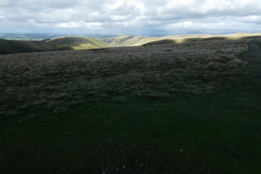
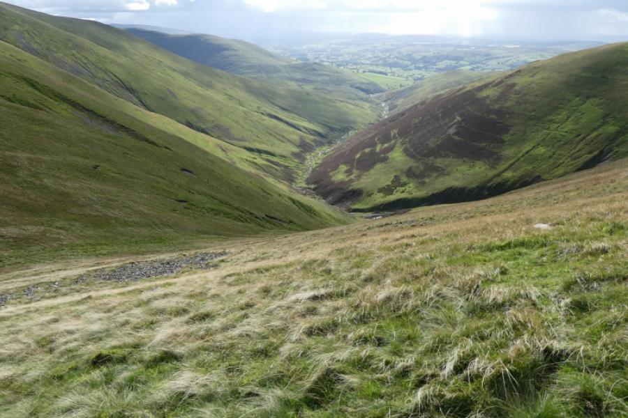
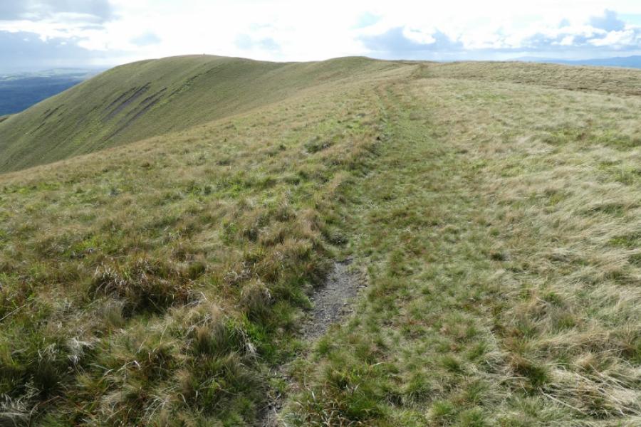
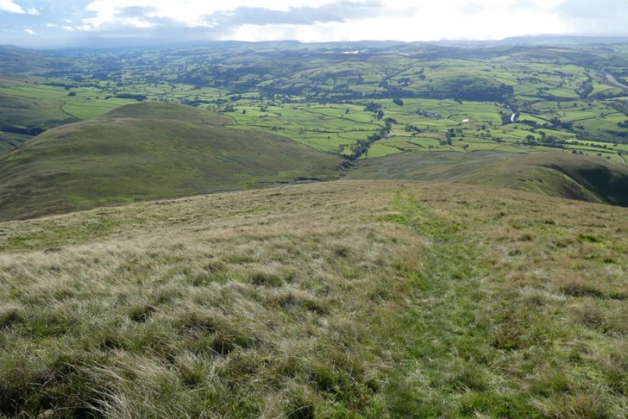
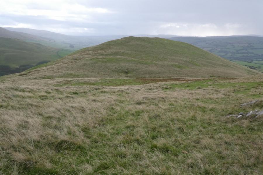
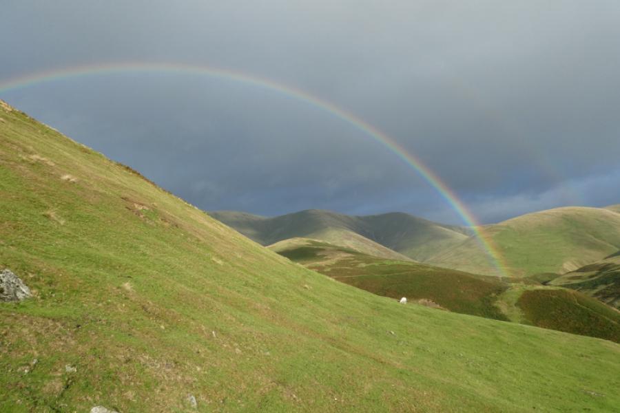
(4) Continue to the lower west top which also has a cairn then continue down the ridge on the path. The Whinfell Ridge, across the M6 can be seen to the west whereas further south the River Lune and Lowgill Viaduct (disused) should be seen. Just before the path levels off, go left and pick a way east (paths may be hard to find) to cross well above the start of the stream between Brown Moor and Whin's End. Pick a way to the foot of Brown Moor and ascend south up its easy ridge where there are several faint paths. On 29/9/21, there was no obvious summit cairn but the highest point is fairly obvious: Brown Moor, 413 m.
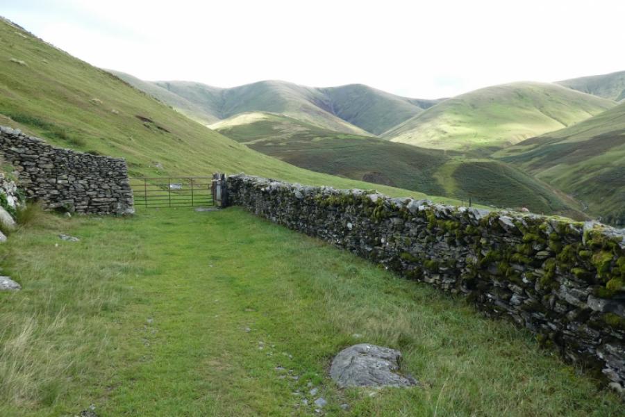
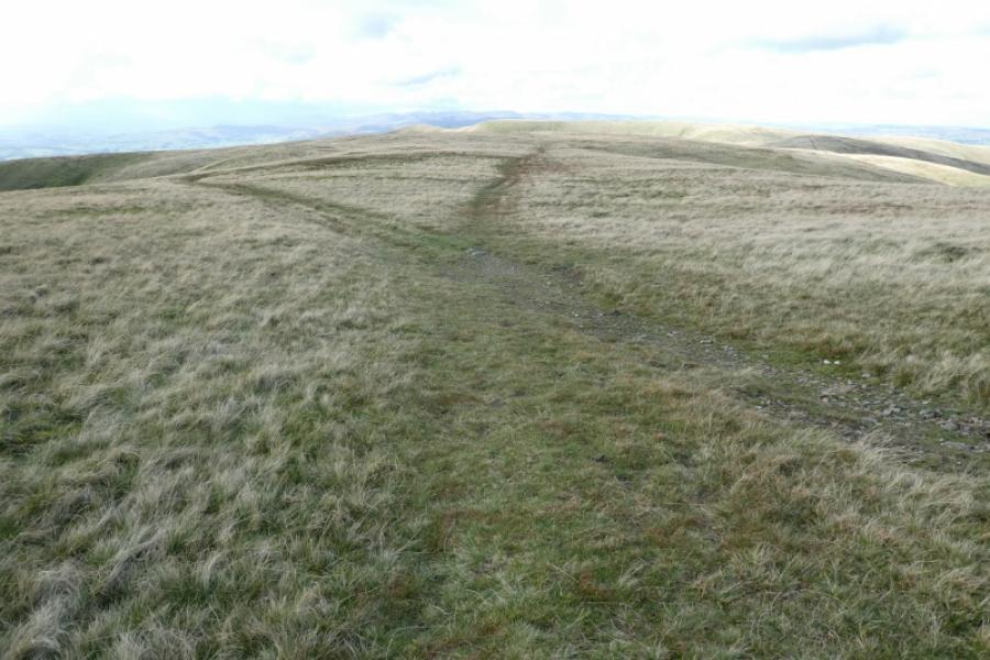
(5) Continue in the same direction to a lower top, Castley Knotts, then make a gradual descent south to meet the outward bridleway at the gate by the pens. Retrace on the bridleway back past Castleys then to Four Lane Ends then back to Howgill Church.
Notes
(a) This walk took place on 29th September, 2021.
(b) Sedbergh is a good base for the Howgills. It is a very small town which is somewhat of an enigma being in The Yorkshire Dales National Park but within the county of Cumbria and has a Lancashire post code! Kirkby Stephen and Tebay are also convenient places to stay as well as any of the villages to the east of Tebay. Sedbergh, though, has the most facilities.
Photos - Hover over photo for caption. Click on to enlarge. Click on again to reduce.
 & Brown Moor (R) from Castley track.JPG)