Get Lost Mountaineering
You are here: England » Yorkshire Dales » Howgills, Baugh Fell & Wild Boar Fell
Knott, Knoutberry, Green Bell, Randygill Top & Grere Fell from Gais Gill Bridge on the Adamthwaite Road
Knott, Knoutberry, Green Bell, Randygill Top & Grere Fell
from Gais Gill Bridge on the Adamthwaite Road
Start/Finish
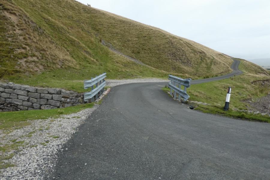
Gais Gill Bridge, on the Adamthwaite road, which has limited off road parking either side of the bridge. The road is quite narrow so don't park on it or in any of the passing places. In winter it may not be gritted so bear that in mind. The rodd to Adamthwaite starts from Ravenstonedale, a village off the A 685 between Tebay and Kirkby Stephen. The postcode CA17 4NW should get you onto the Adamthwaite road and once on that just continue to the obvious bridge over Gais Gill, about 2 miles from Ravenstonedale. The bridge has crash barriers and the road gets very steep and twisty just after. Be careful following your satnav through Ravenstonedale as you may be taken down very, very narrow walled roads. One of these is signed for lorries not to follow satnav. Cars shouldn't use this route either but continue ahead to the obvious pub, pass it then turn right. Any decent satnav should correct your route if you don't go down the very narrow road.
Distance/Time
6 km About 3 hours
Peaks
Knott, 465 m, NY 714 013.
Knoutberry, 529 m, NY 704 013.
Green Bell, 605 m, NY 698 011.
Randygill Top, 624 m, NY 687 000.
Grere Fell, 541 m, NY 703 005. OL19 Howgill Fells & Upper Eden Valley
Introduction
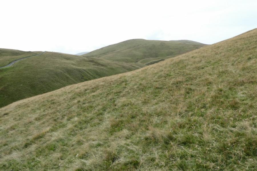
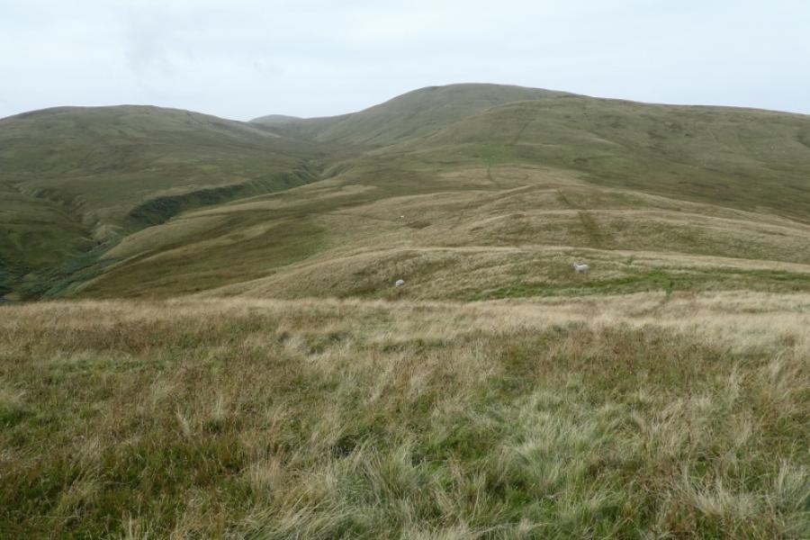
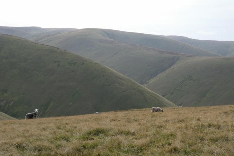
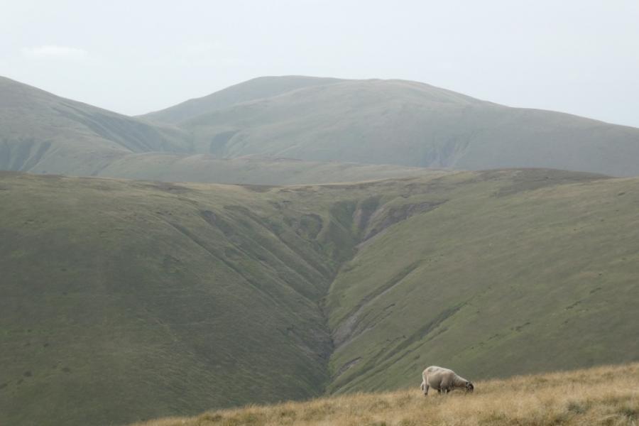
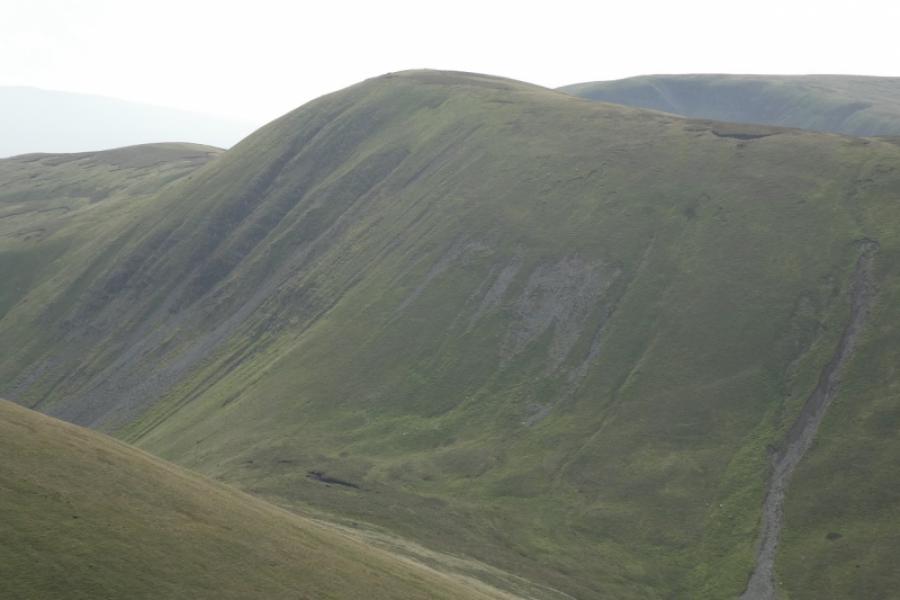
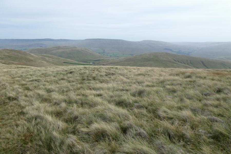
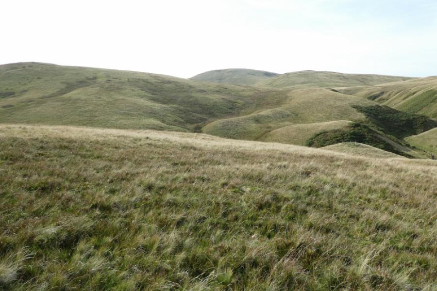
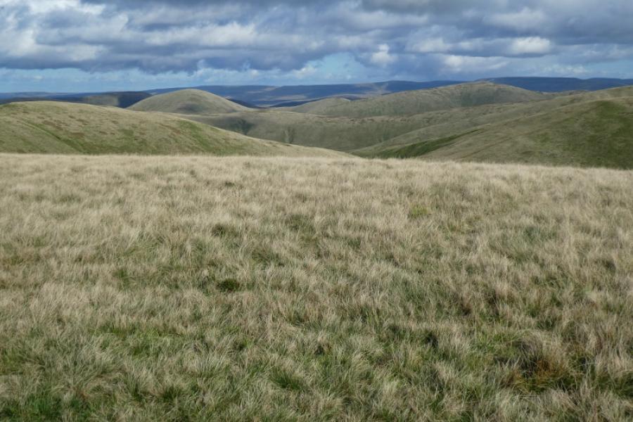
This walk lies entirely within the Howgill Fells which are bounded by the M6, A684/A683 and A685. It is a compact group of hills known for its ridges and steep valleys. They are much quieter than the Lakeland Fells lying to the west across the M6 and the Yorkshire Dales lying to the east. The highest point in the Howgills is The Calf and this has good paths leading to it. The most well known feature is Cautley Spout which is a series of impressive waterfalls. Neither The Calf nor Cautley Spout are visited on this walk but there is a route for them uploaded. Being so quiet means that the Howgills are largely unspoilt. On this route, it is nearly all grass with no fences, walls or stiles. The near views are good with dominant tops and ridges overlooking steep valleys. On clear days there are distant views to Wild Boar Fell and to the Lake District.
Route
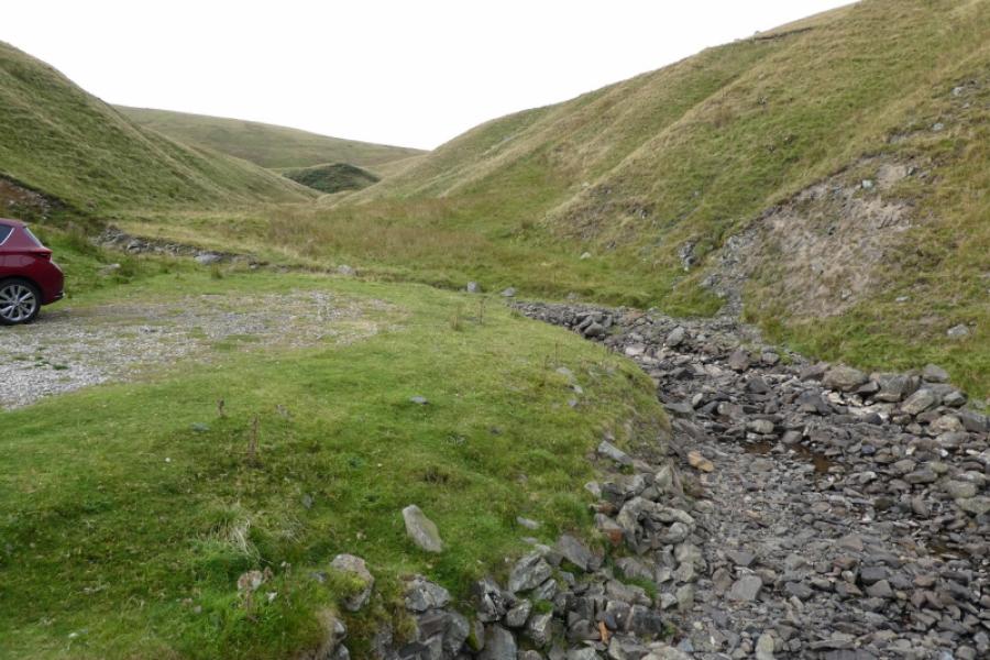
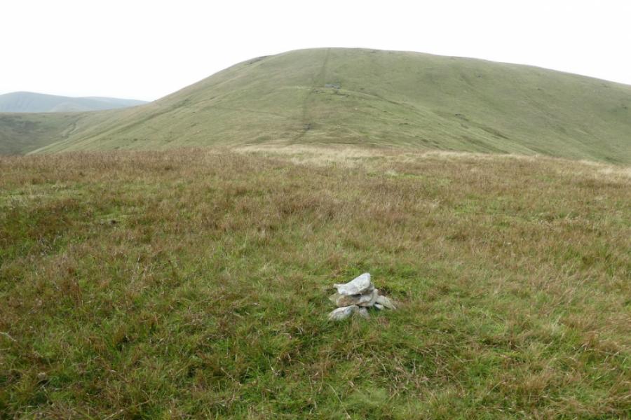
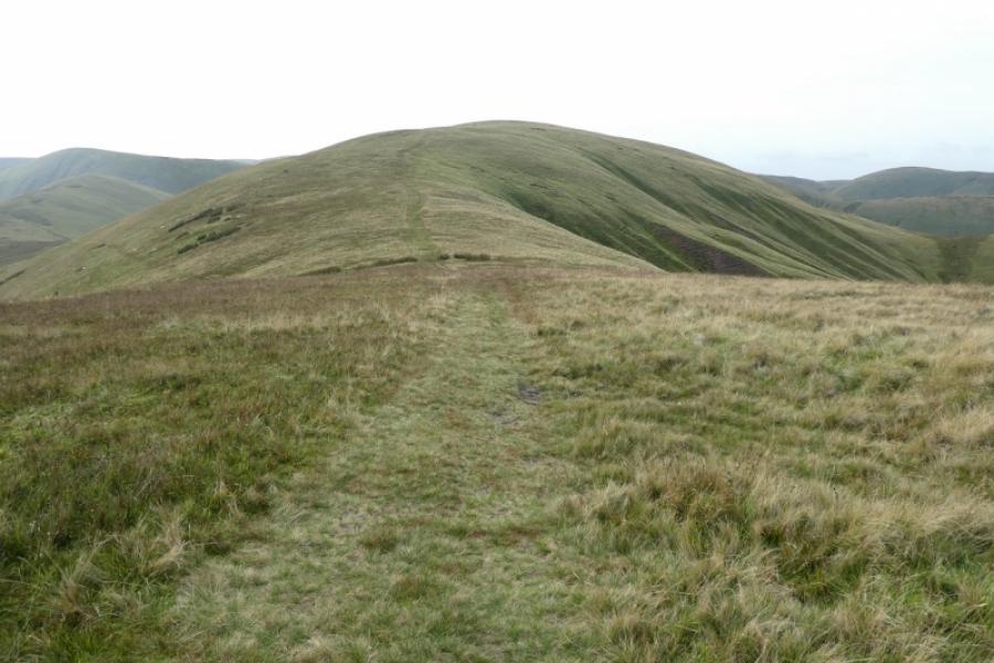
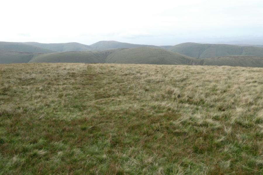
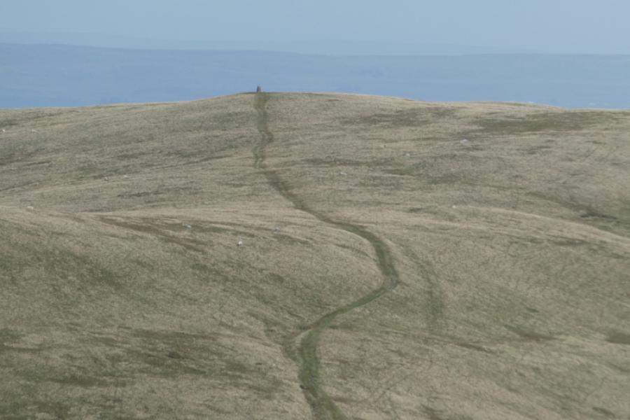
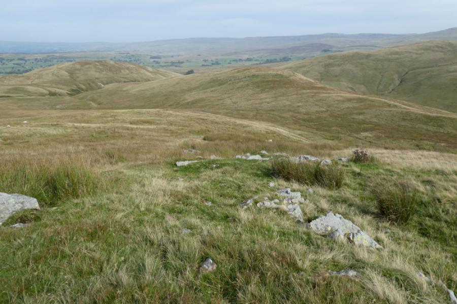
(1) From Gais Gill bridge walk back down the road for about 20 m then look for a faint path/track slanting uphill. This soon becomes a distinct path then fades away. The ground is fairly good and there are short, grassy sections which can be followed. The general direction is north west and reach the crest as soon as possible then follow it to the small summit plateau where there is a large clump of rough grass. Hidden inside this is a small cairn which marks the summit of Knott, 465 m.
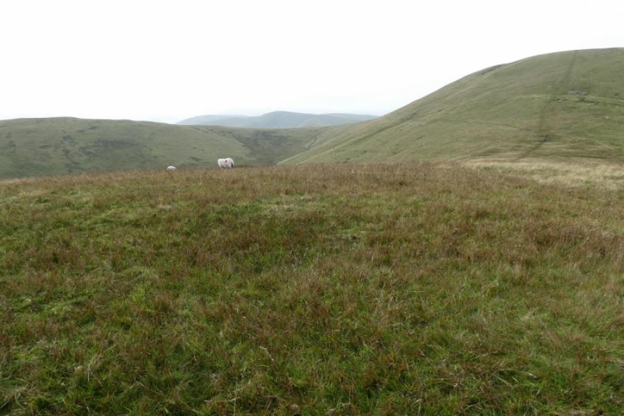
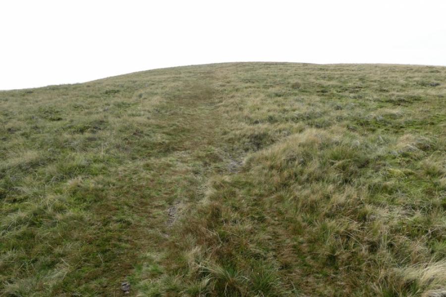
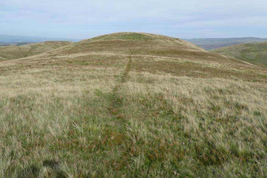
(2) The route ahead should be fairly obvious and is virtually due west on a grassy path which leads down into a col before ascending up the other side. Leave the path at its highest point and walk north for a short distance to find a small cairn which marks the highest point of Knoutberry, 529 m.
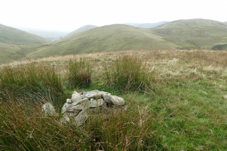
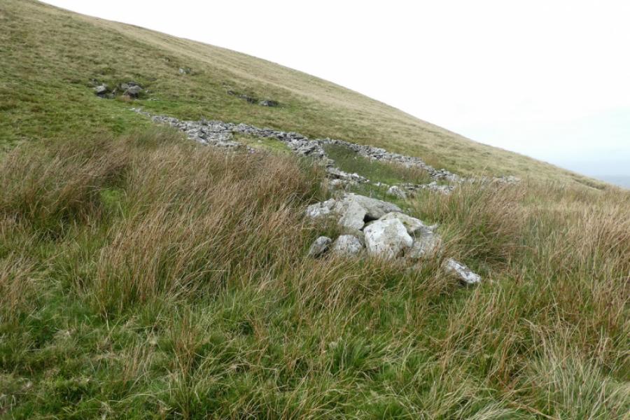
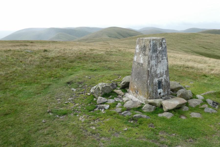
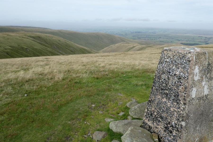
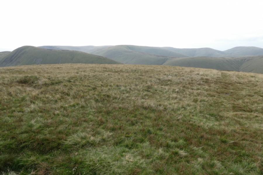
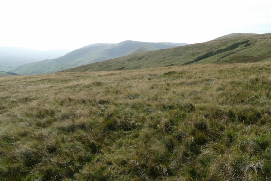
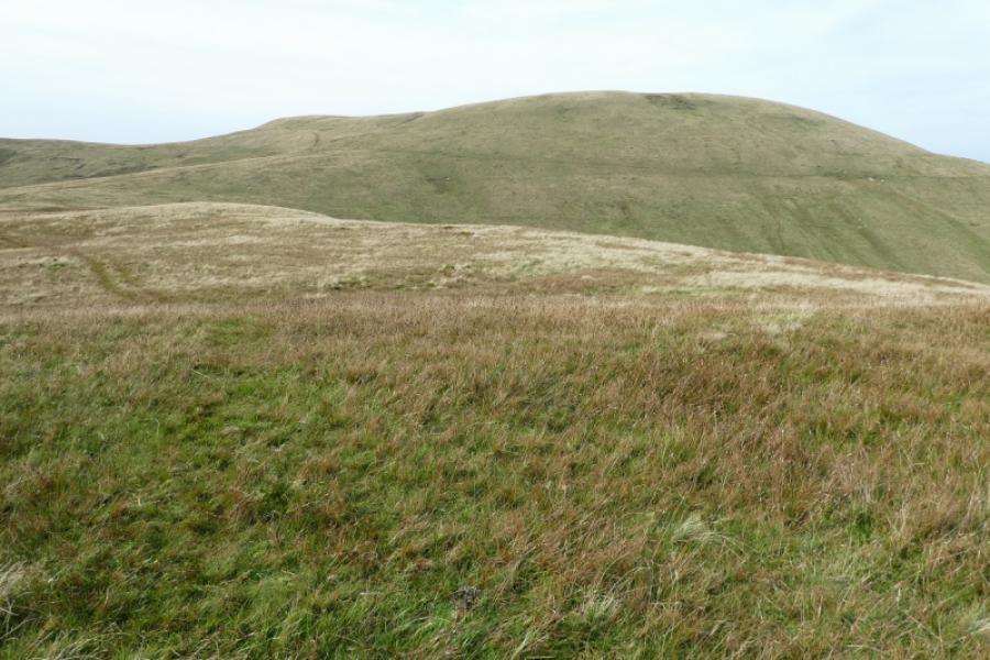
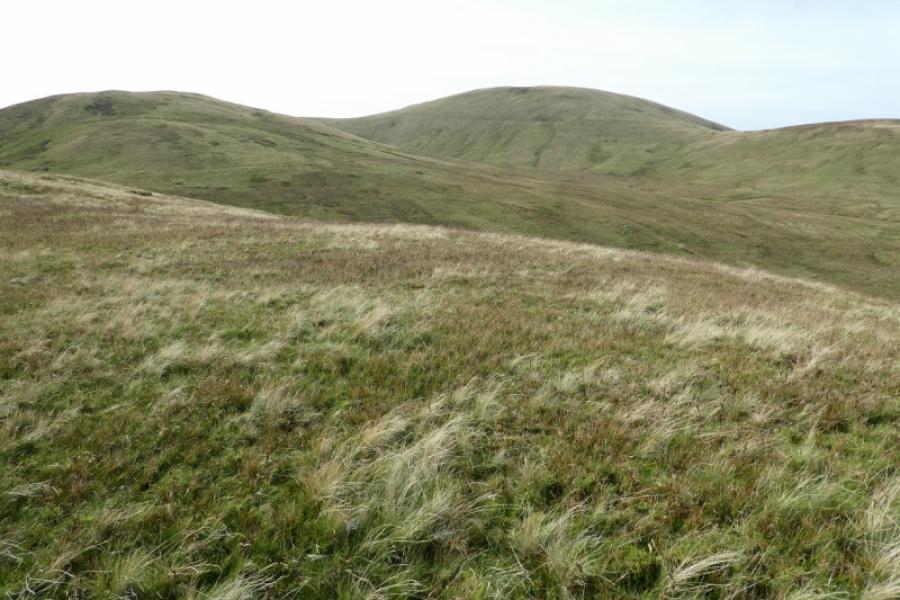
(3) Retrace to the path and descend south west, hardly losing any height, then continue up the other side which is moderately steep. About halfway up, an old ruin is passed of which only walls remain. Reach a plateau where there is a trig point (no cairn) marking the summit of Green Bell, 605 m.
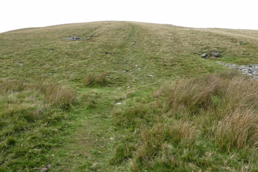
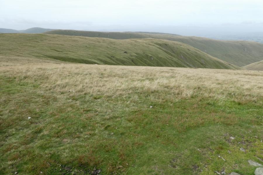
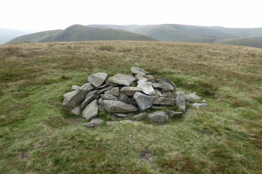
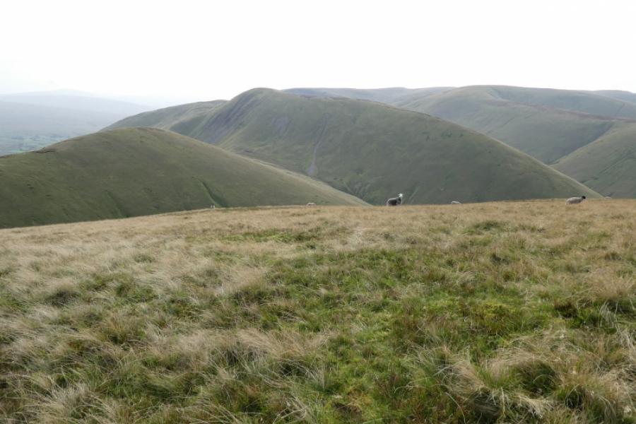
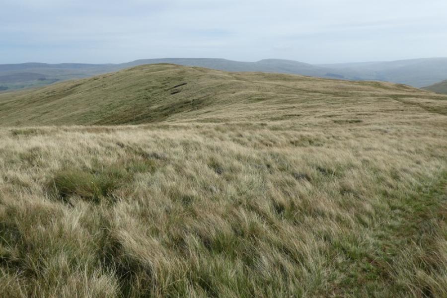
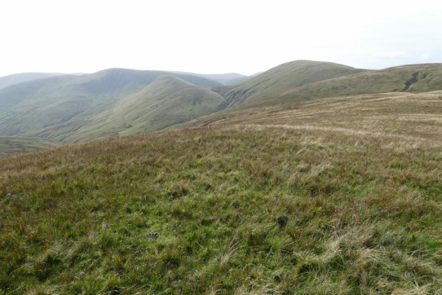
(4) Descend roughly south west on the best and most obvious path so far. Reach a shallow col after about 1 km then continue up for about 800 m to reach a pile of stones which is the summit of Randygill Top, 624 m. Yarlside is very prominent almost due south. In fact Randygill Top is a subsidiary top of Yarlside. Incidentally, Randy Gill, after which this hill is named, lies below the south flank.
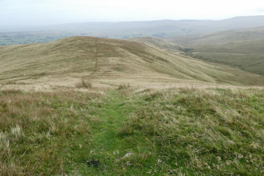
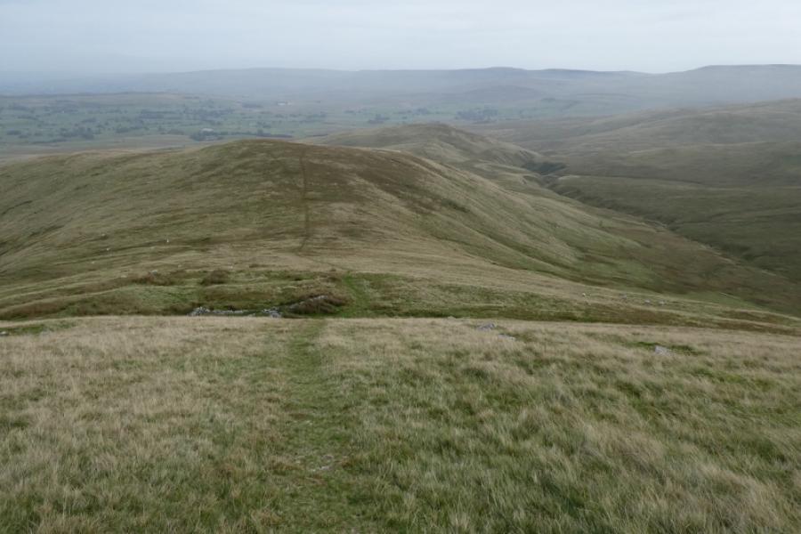
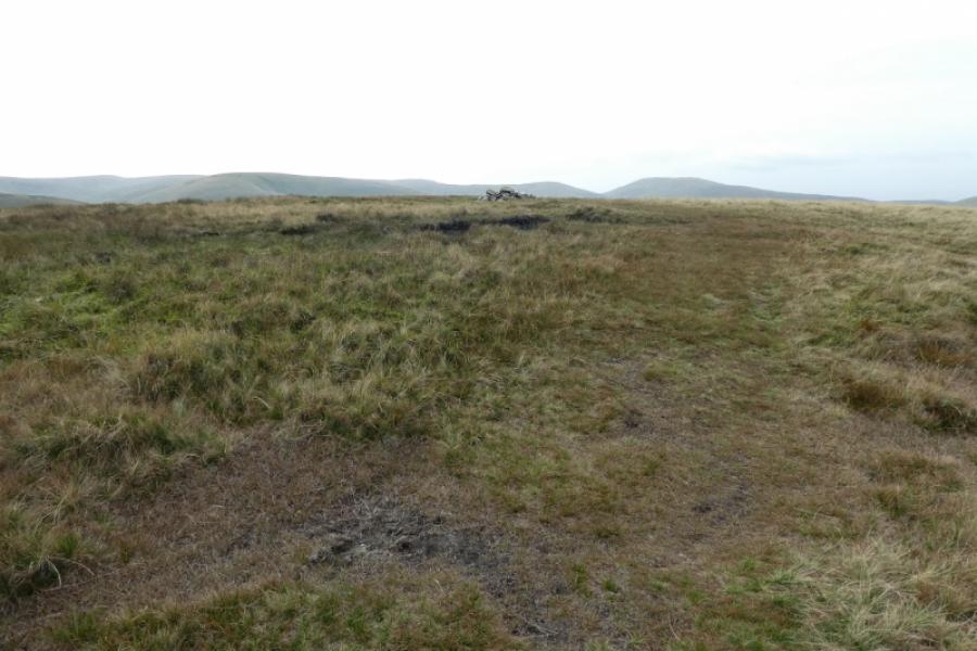
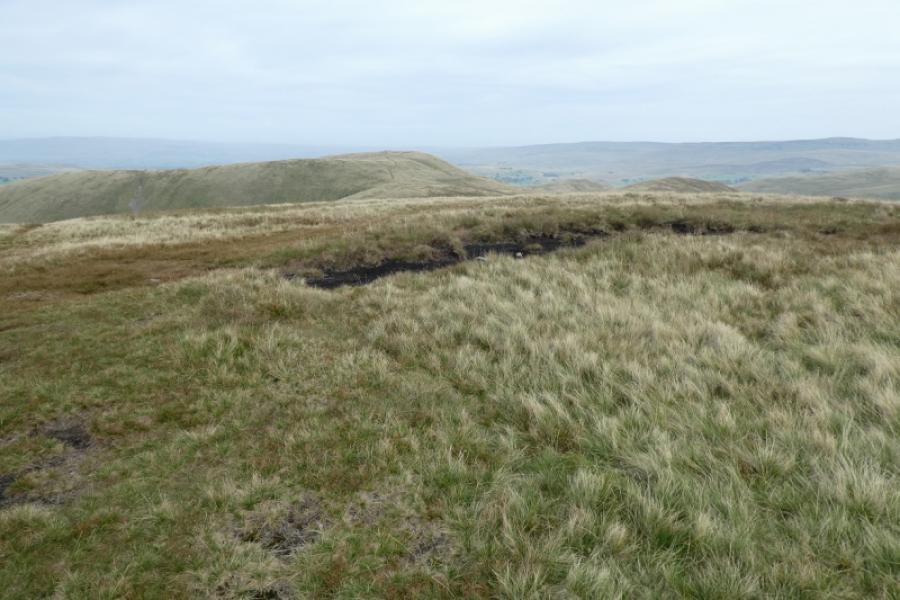
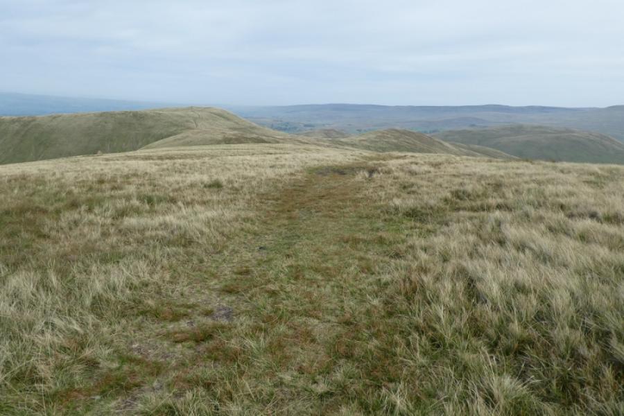
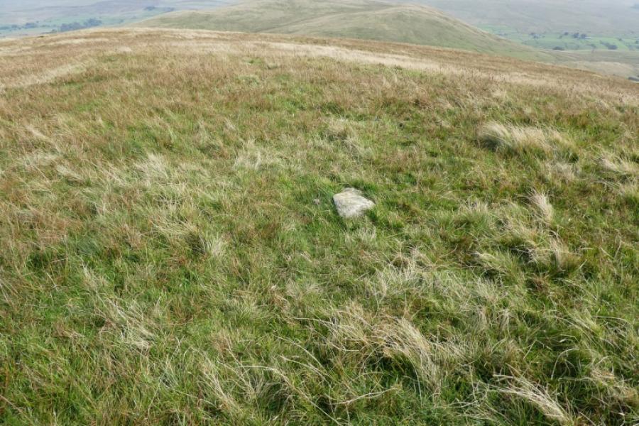
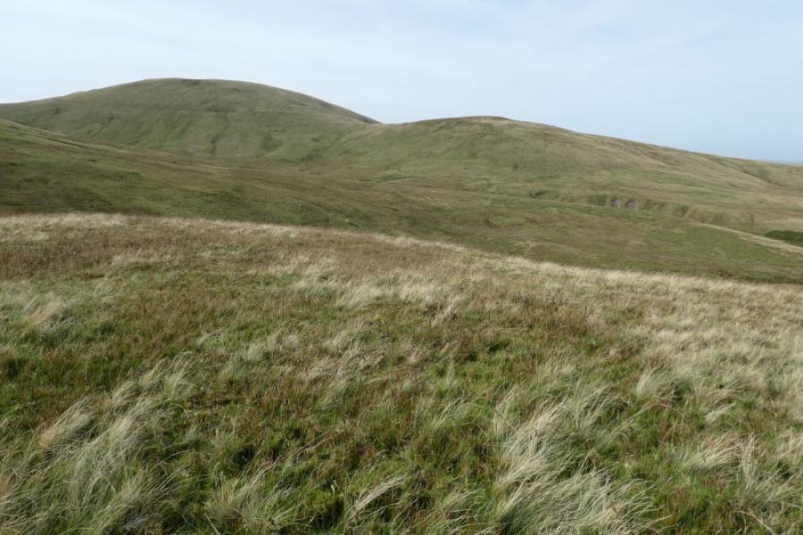
(5) Retrace back towards Green Bell. Pass the col and ascend about halfway up Green Bell before turning right onto a grassy path/track which leads towards Grere Fell, well seen in clear weather. It is possible to “cut the corner” just after the col but the ground is rougher so time may not be saved. The path/track leads up onto a plateau where there is no obvious cairn but there is a single, small embedded rock, which hardly sticks out of the ground, that might be the highest point of Grere Fell, 541 m.
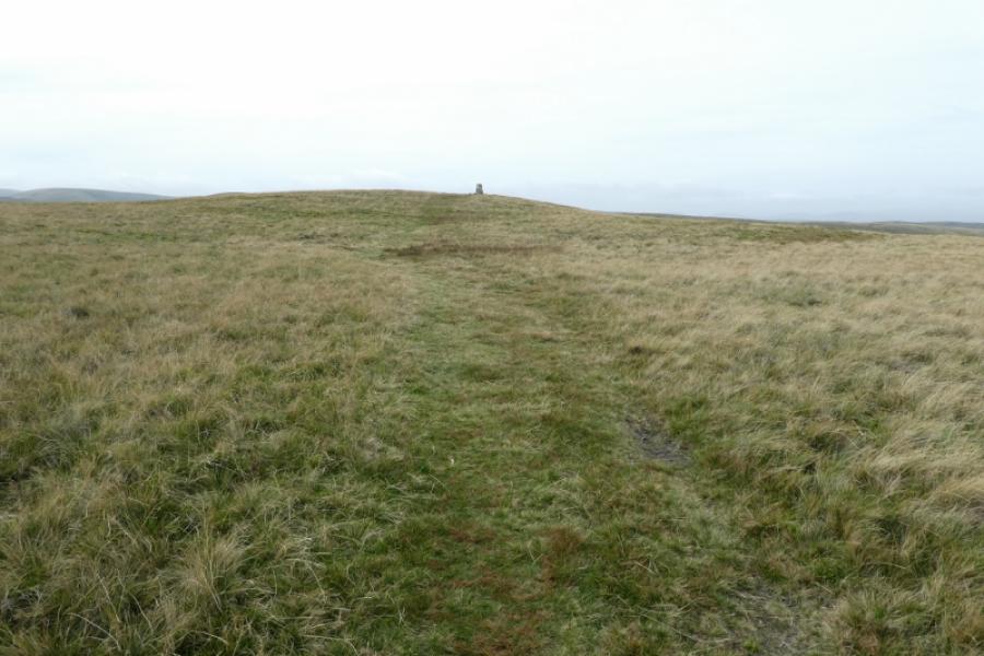
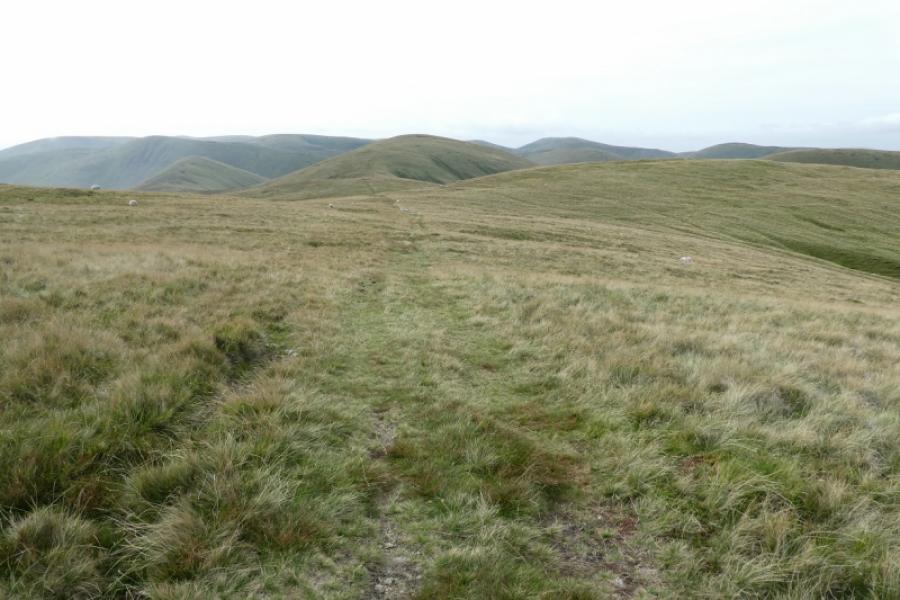
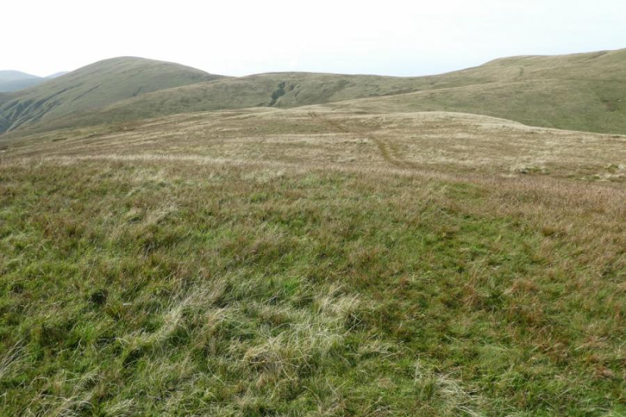
(6) Continue along the crest where there is a path for a while. Descend to a shallow grassy “valley” then ascend north east to a flat top which the OS name as Adamthwaite Bank. From here, it is easiest to head east to north east to intercept the road and follow it for the short distance back to the start.
Notes
(a) This walk took place on 21st September, 2021.
(b) Sedbergh is a good base for the Howgills. It is a very small town which is somewhat of an enigma being in The Yorkshire Dales National Park but within the county of Cumbria and has a Lancashire post code! Kirkby Stephen is also a good base for northern approaches. Ravenstonedale itself is a smallish village but very scenic.
Photos - Hover over photo for caption. Click on to enlarge. Click on again to reduce.